Elevation of KY-, Dawson Springs, KY, USA
Location: United States > Kentucky > Caldwell County >
Longitude: -87.693903
Latitude: 37.1491379
Elevation: 170m / 558feet
Barometric Pressure: 99KPa
Elevation Map:
Satellite Map:
Related Photos:
Clearing Skies
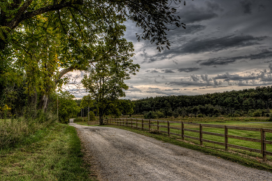
Forestry Road

Cabin in the Woods
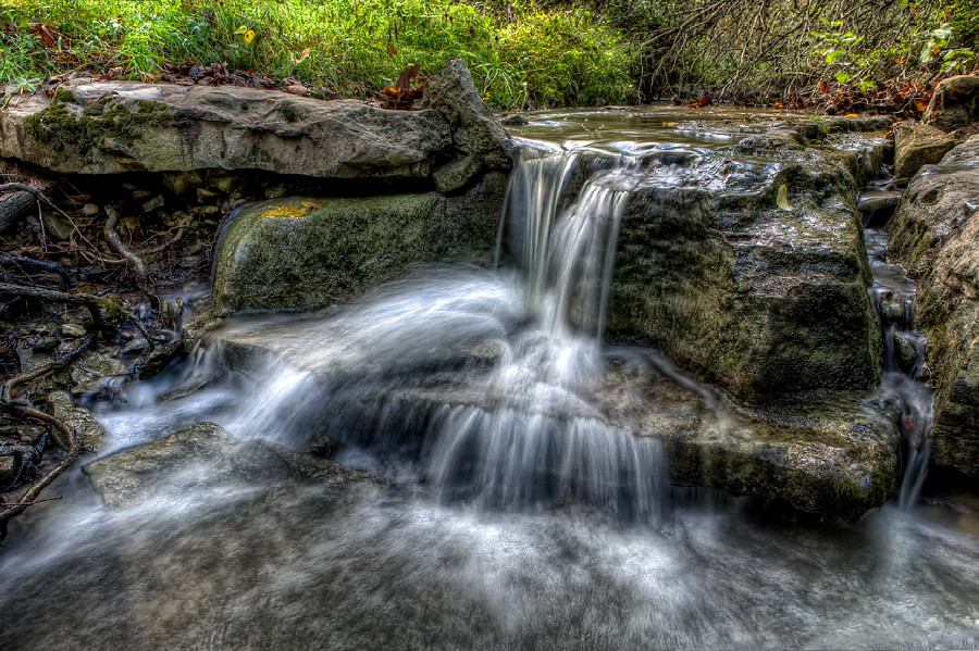
Quiet Stream
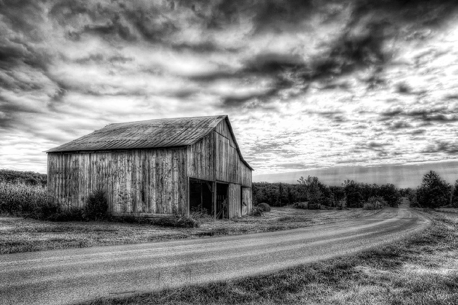
Still Standing
The view from my room. #research #retreat

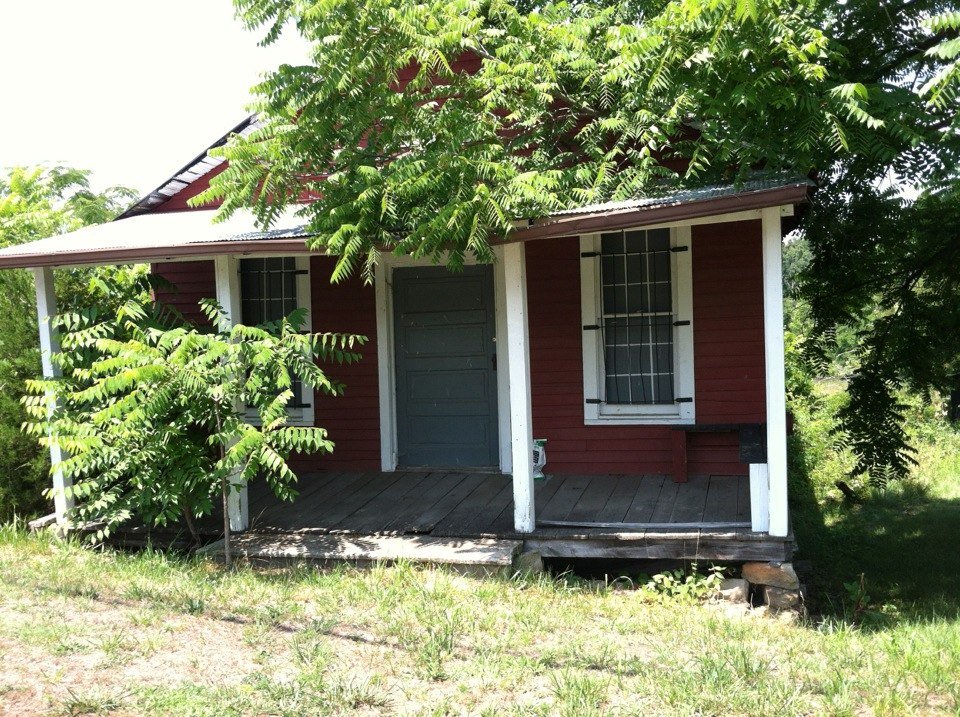
This Old House

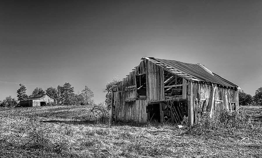
Princeton, KY Barn
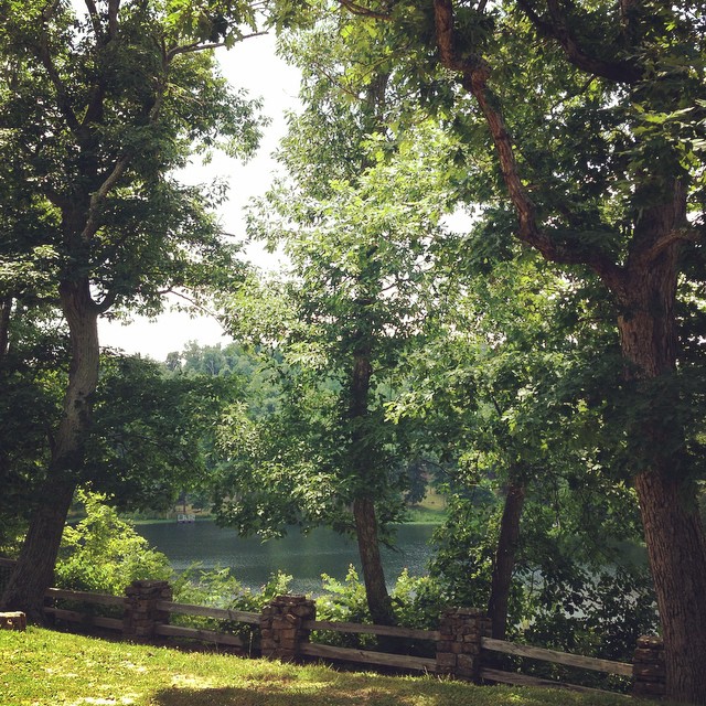
Pennyrile Lake
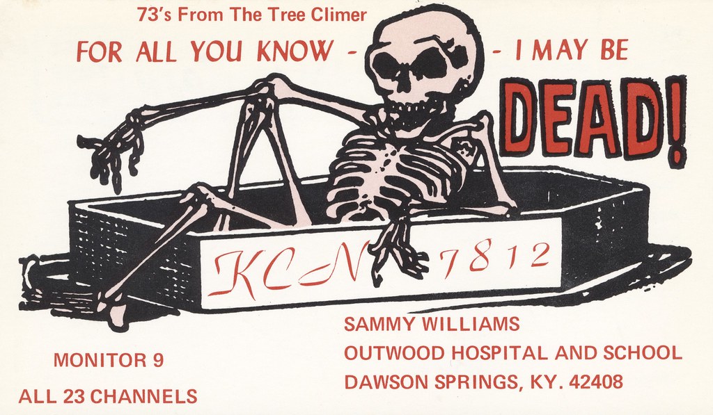
The Tree Climer - Dawson Springs, Kentucky

P&L #2115
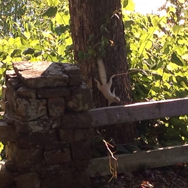
A white squirrel?

The pile. #retreat #research #reading

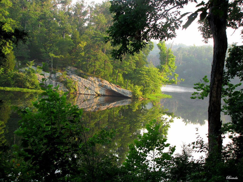
See Beautiful Rock City

See Beautiful Rock City
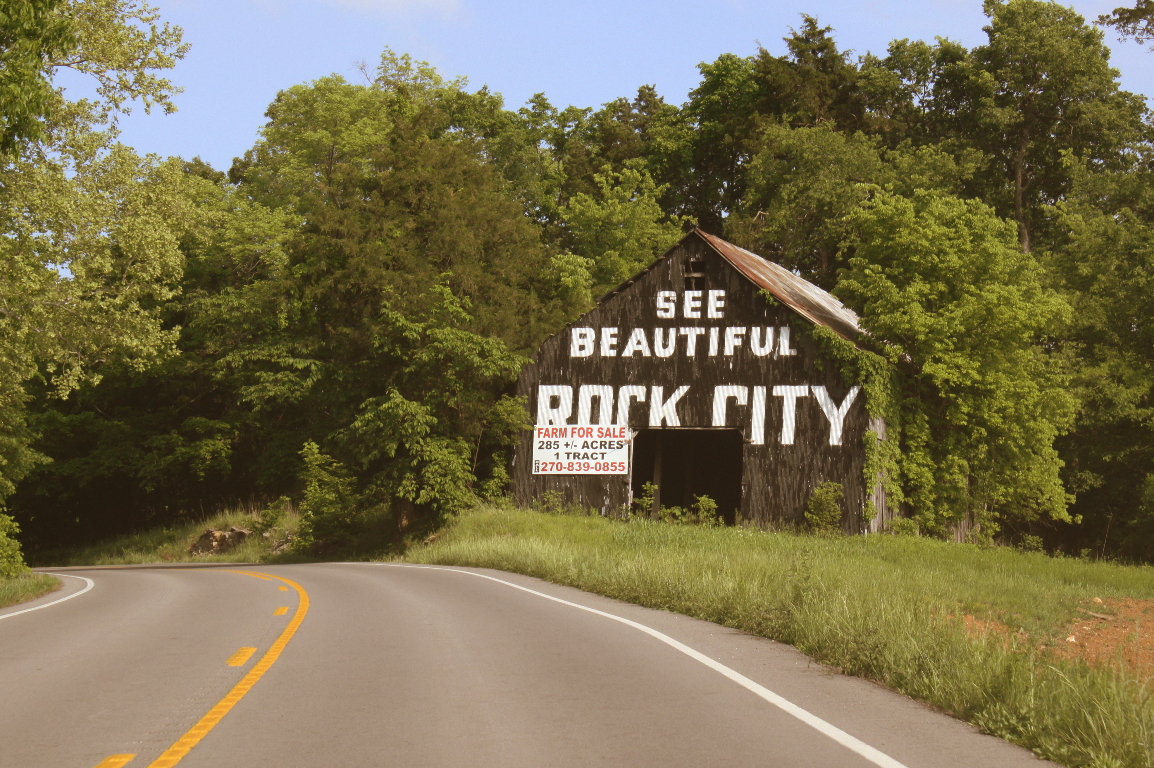
See Beautiful Rock City

CSX Train T519

P&L Train PNX1

PAL PP1, Claxton, KY

I Must Remember
Nash Store
Topographic Map of KY-, Dawson Springs, KY, USA
Find elevation by address:

Places near KY-, Dawson Springs, KY, USA:
Park Avenue
Meadows Hill Drive
212 S Trim St
Dawson Springs
608 E Walnut St
East Walnut Street
Mount Hebron Church
Mcknight Road
Mcknight Road
Mount Hebron Church Road
White School House Road
Waterfall Cave
2502 Olney Rd
Jones-keeney Wildlife Management Area
Charleston Rd, Dawson Springs, KY, USA
Daylight Road
Claxton
Nortonville Rd, Dawson Springs, KY, USA
Lewistown Rd, Princeton, KY, USA
6300 Olney Rd
Recent Searches:
- Elevation of Leguwa, Nepal
- Elevation of County Rd, Enterprise, AL, USA
- Elevation of Kolchuginsky District, Vladimir Oblast, Russia
- Elevation of Shustino, Vladimir Oblast, Russia
- Elevation of Lampiasi St, Sarasota, FL, USA
- Elevation of Elwyn Dr, Roanoke Rapids, NC, USA
- Elevation of Congressional Dr, Stevensville, MD, USA
- Elevation of Bellview Rd, McLean, VA, USA
- Elevation of Stage Island Rd, Chatham, MA, USA
- Elevation of Shibuya Scramble Crossing, 21 Udagawacho, Shibuya City, Tokyo -, Japan