Elevation of Claxton, KY, USA
Location: United States > Kentucky > Caldwell County >
Longitude: -87.765593
Latitude: 37.101536
Elevation: 161m / 528feet
Barometric Pressure: 99KPa
Elevation Map:
Satellite Map:
Related Photos:

Princeton KY ~ Masonic Hall ~ Historic Building

A view of the total eclipse - August 21, 2017 outside of Princeton, KY

Caldwell Co Courthouse - Princeton, KY

Clearing Skies

Forestry Road

Cabin in the Woods

Quiet Stream

Still Standing

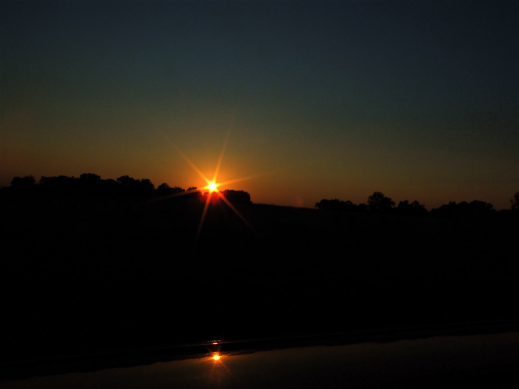
Sunset And Reflections II

The view from my room. #research #retreat

Slowly Going Below The Treeline

Kay's Kitchen, Princeton, KY
Sunset And Reflections I

Keep Out

Pennyrile Lake

DSC_0362.jpg

A vineyard in KY. I've seen it all..:

Almost Spring

Indian Bluffs Trail, Pennyrile Forest State Resort Park
Topographic Map of Claxton, KY, USA
Find elevation by address:

Places near Claxton, KY, USA:
Jones-keeney Wildlife Management Area
Mount Hebron Church Road
Waterfall Cave
Lewistown Rd, Princeton, KY, USA
Mount Hebron Church
White School House Road
KY-, Dawson Springs, KY, USA
212 S Trim St
Park Avenue
Dawson Springs
Meadows Hill Drive
608 E Walnut St
East Walnut Street
460 Edwards Rd
2502 Olney Rd
Princeton
Mcknight Road
Mcknight Road
6300 Olney Rd
1340 Bethany Church Rd
Recent Searches:
- Elevation of Leguwa, Nepal
- Elevation of County Rd, Enterprise, AL, USA
- Elevation of Kolchuginsky District, Vladimir Oblast, Russia
- Elevation of Shustino, Vladimir Oblast, Russia
- Elevation of Lampiasi St, Sarasota, FL, USA
- Elevation of Elwyn Dr, Roanoke Rapids, NC, USA
- Elevation of Congressional Dr, Stevensville, MD, USA
- Elevation of Bellview Rd, McLean, VA, USA
- Elevation of Stage Island Rd, Chatham, MA, USA
- Elevation of Shibuya Scramble Crossing, 21 Udagawacho, Shibuya City, Tokyo -, Japan