Elevation of Dawson Springs, KY, USA
Location: United States > Kentucky > Hopkins County >
Longitude: -87.692507
Latitude: 37.1672684
Elevation: 128m / 420feet
Barometric Pressure: 100KPa
Elevation Map:
Satellite Map:
Related Photos:
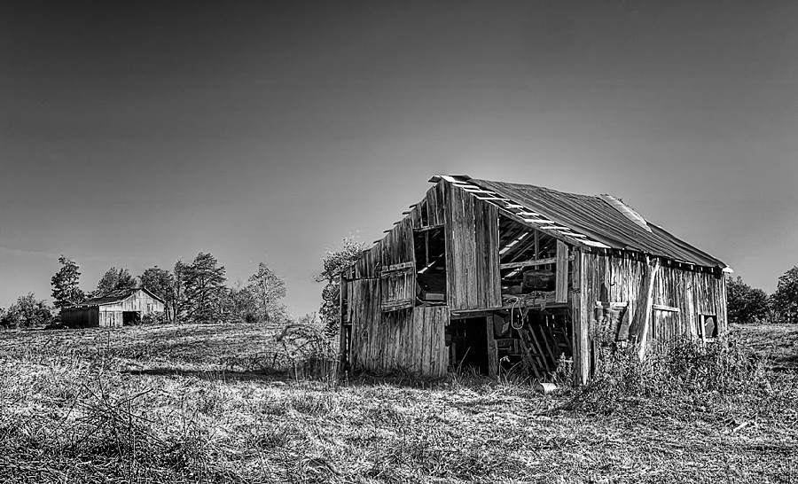
Still Standing
Clearing Skies
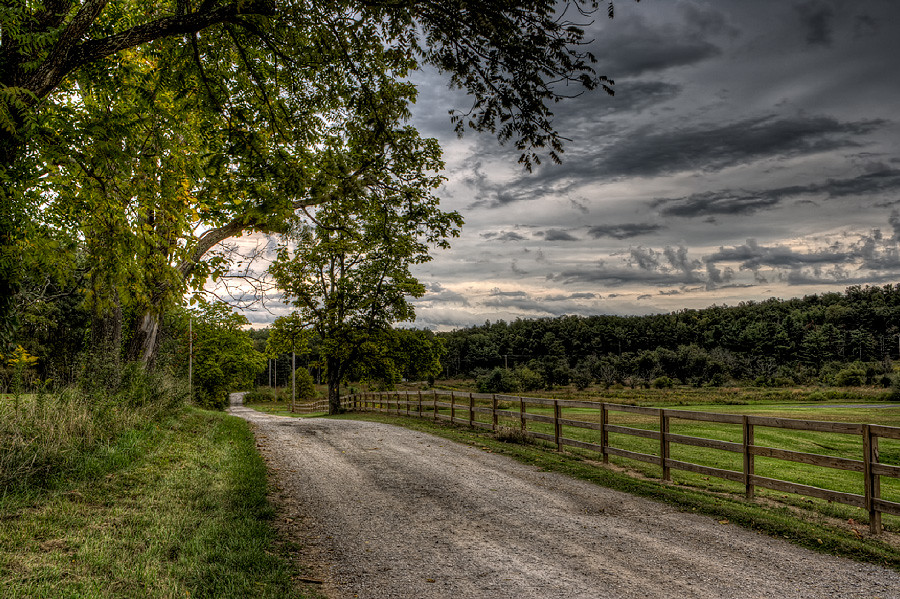
Forestry Road
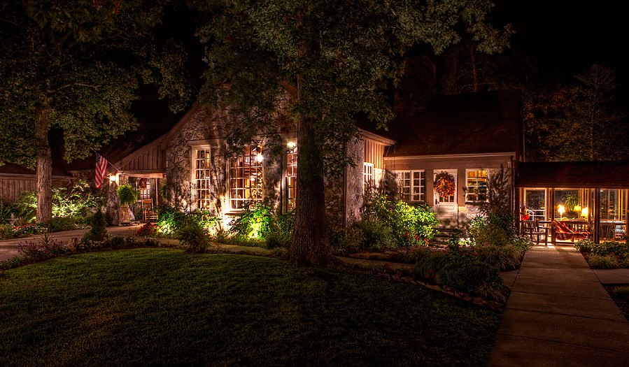
Cabin in the Woods
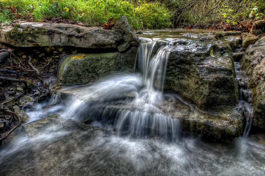
Quiet Stream
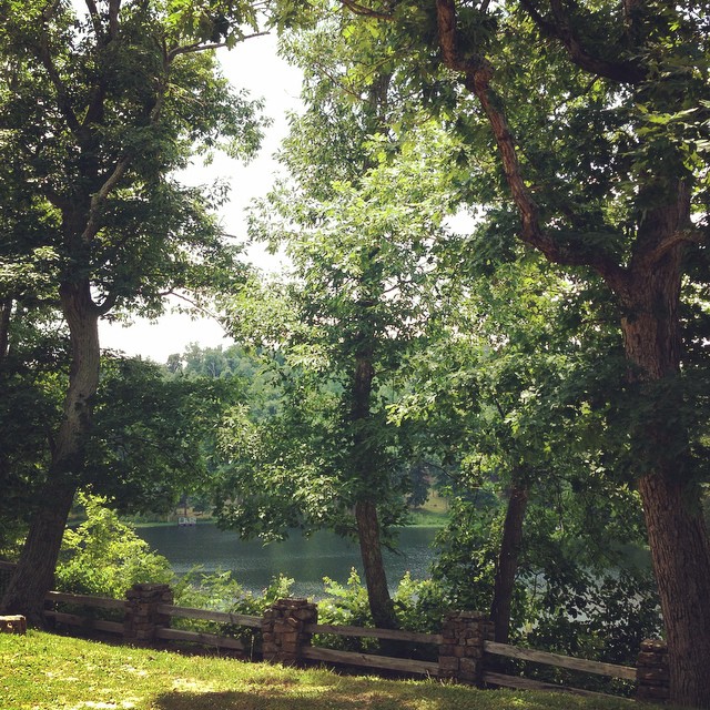
The view from my room. #research #retreat
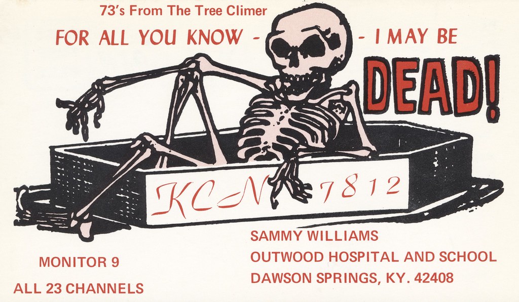
The Tree Climer - Dawson Springs, Kentucky

P&L #2115

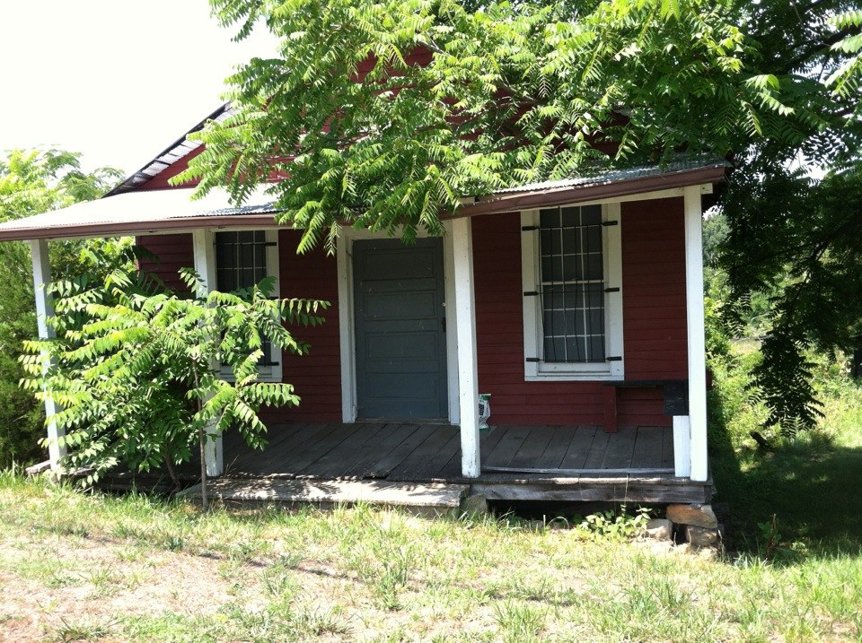
This Old House

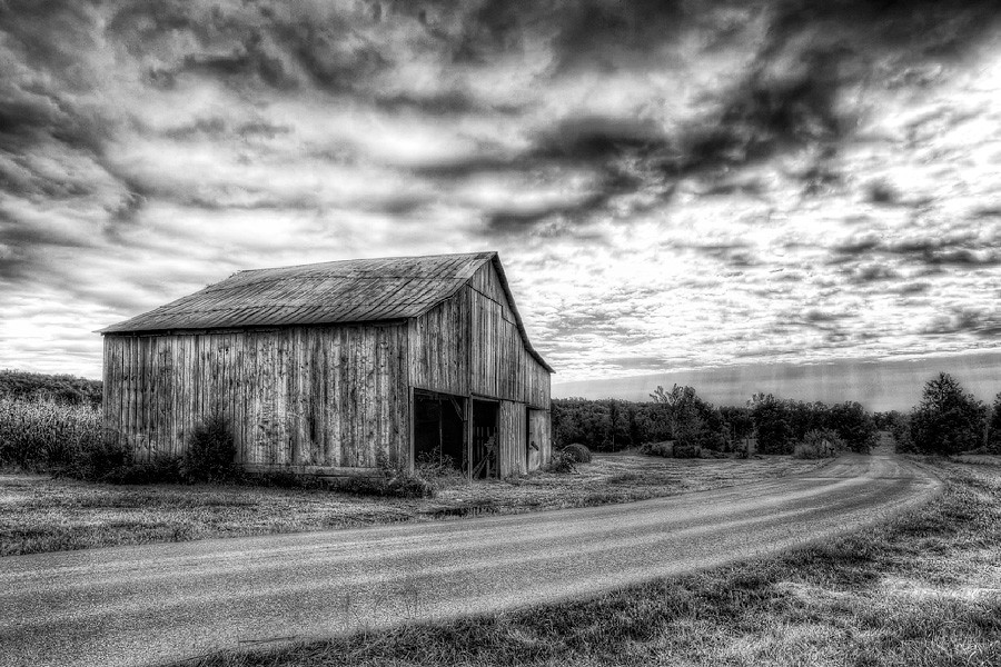
Princeton, KY Barn

CSX Train T519

P&L Train PNX1

PAL PP1, Claxton, KY
Nash Store

Pennyrile Lake
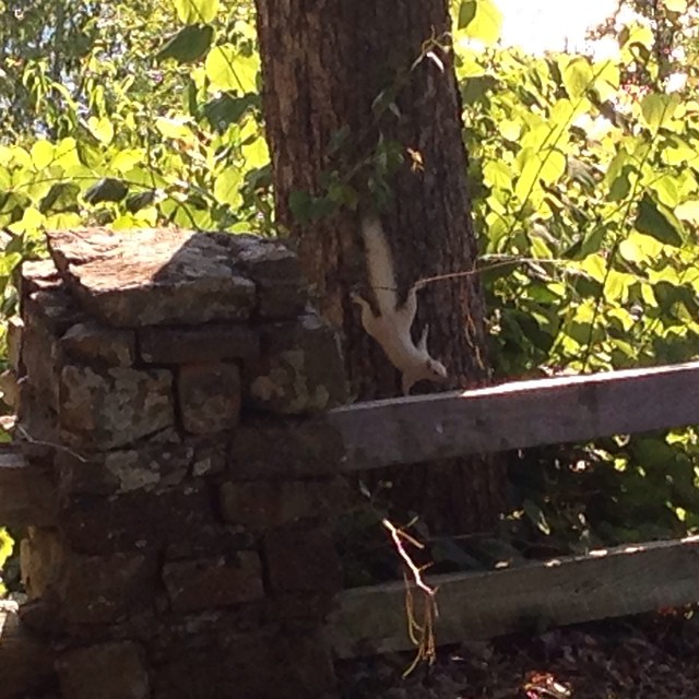
A white squirrel?

The pile. #retreat #research #reading
Pennyrile State Park
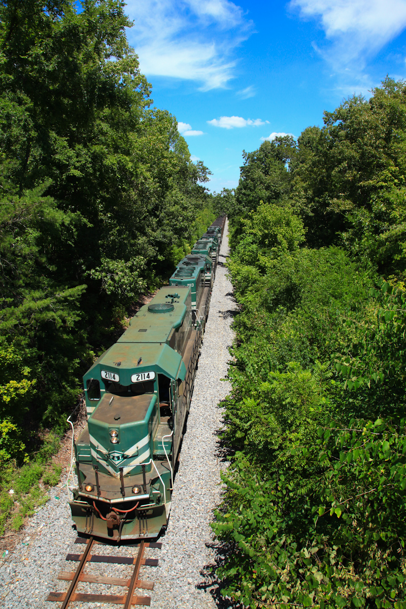
PAL 2114 Charleston KY 28 Jul 2012
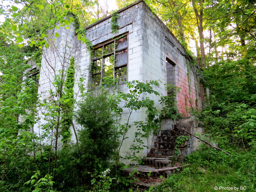
Old Building On Hwy 62.
Old Building On Hwy 62..
Topographic Map of Dawson Springs, KY, USA
Find elevation by address:

Places in Dawson Springs, KY, USA:
Charleston Rd, Dawson Springs, KY, USA
Meadows Hill Drive
East Walnut Street
Mount Hebron Church Road
White School House Road
Park Avenue
Daylight Road
Places near Dawson Springs, KY, USA:
212 S Trim St
Park Avenue
608 E Walnut St
East Walnut Street
Meadows Hill Drive
KY-, Dawson Springs, KY, USA
Mount Hebron Church
Mcknight Road
Mcknight Road
2502 Olney Rd
White School House Road
Mount Hebron Church Road
Charleston Rd, Dawson Springs, KY, USA
Waterfall Cave
Daylight Road
Jones-keeney Wildlife Management Area
Nortonville Rd, Dawson Springs, KY, USA
Claxton
6300 Olney Rd
Lewistown Rd, Princeton, KY, USA
Recent Searches:
- Elevation of Sadovaya Ulitsa, 20, Rezh, Sverdlovskaya oblast', Russia
- Elevation of Ulitsa Kalinina, 79, Rezh, Sverdlovskaya oblast', Russia
- Elevation of 72-31 Metropolitan Ave, Middle Village, NY, USA
- Elevation of 76 Metropolitan Ave, Brooklyn, NY, USA
- Elevation of Alisal Rd, Solvang, CA, USA
- Elevation of Vista Blvd, Sparks, NV, USA
- Elevation of 15th Ave SE, St. Petersburg, FL, USA
- Elevation of Beall Road, Beall Rd, Florida, USA
- Elevation of Leguwa, Nepal
- Elevation of County Rd, Enterprise, AL, USA