Elevation of Lewistown Rd, Princeton, KY, USA
Location: United States > Kentucky > Caldwell County > Princeton >
Longitude: -87.800950
Latitude: 37.1440306
Elevation: 144m / 472feet
Barometric Pressure: 100KPa
Elevation Map:
Satellite Map:
Related Photos:

Princeton KY ~ Masonic Hall ~ Historic Building

Sunset And Reflections II

Sunset And Reflections I

Slowly Going Below The Treeline
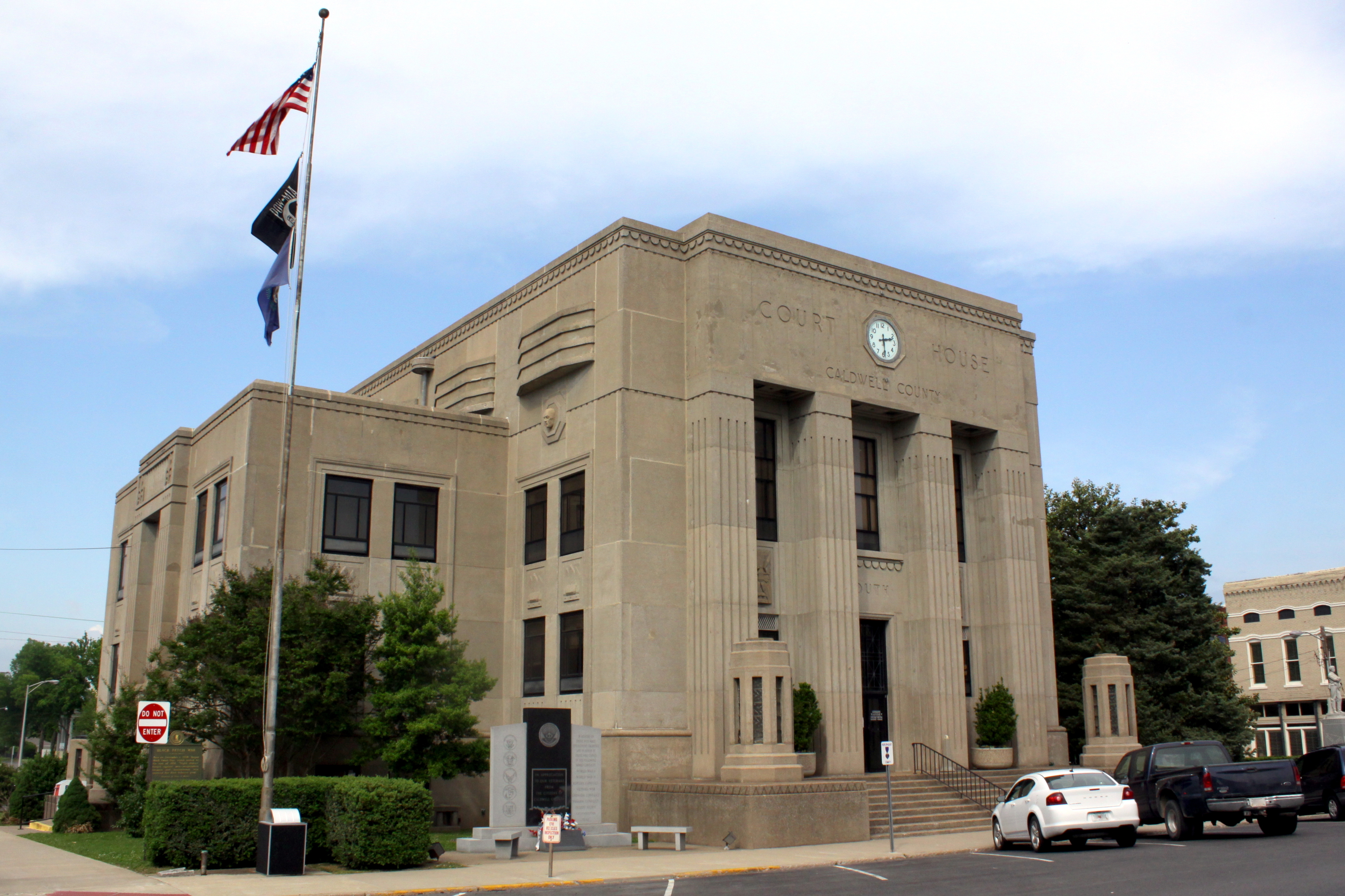
Caldwell Co Courthouse - Princeton, KY

Clearing Skies

Cabin in the Woods

Quiet Stream
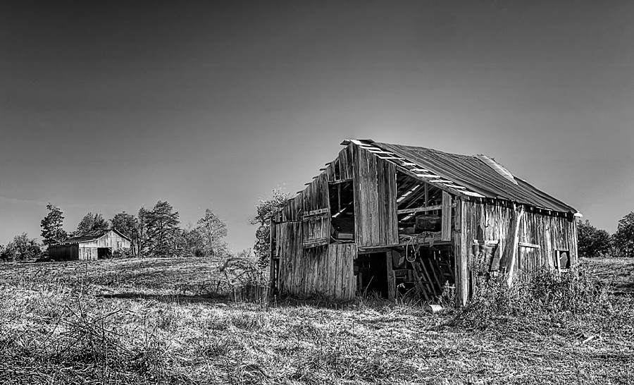
Still Standing

The view from my room. #research #retreat
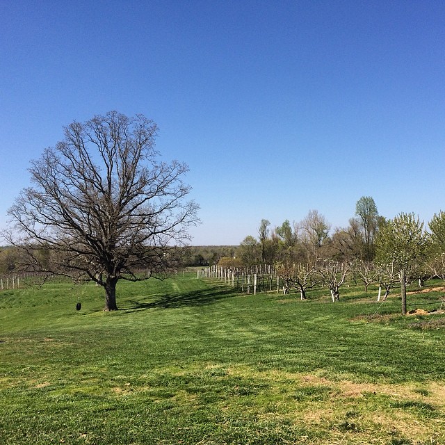
A vineyard in KY. I've seen it all..:

DSC_0362.jpg
Topographic Map of Lewistown Rd, Princeton, KY, USA
Find elevation by address:

Places near Lewistown Rd, Princeton, KY, USA:
Jones-keeney Wildlife Management Area
460 Edwards Rd
Waterfall Cave
Claxton
White School House Road
Mount Hebron Church Road
Mount Hebron Church
6300 Olney Rd
Princeton
1340 Bethany Church Rd
2502 Olney Rd
KY-, Dawson Springs, KY, USA
212 S Trim St
Dawson Springs
Park Avenue
608 E Walnut St
East Walnut Street
Meadows Hill Drive
Mcknight Road
Mcknight Road
Recent Searches:
- Elevation of Beall Road, Beall Rd, Florida, USA
- Elevation of Leguwa, Nepal
- Elevation of County Rd, Enterprise, AL, USA
- Elevation of Kolchuginsky District, Vladimir Oblast, Russia
- Elevation of Shustino, Vladimir Oblast, Russia
- Elevation of Lampiasi St, Sarasota, FL, USA
- Elevation of Elwyn Dr, Roanoke Rapids, NC, USA
- Elevation of Congressional Dr, Stevensville, MD, USA
- Elevation of Bellview Rd, McLean, VA, USA
- Elevation of Stage Island Rd, Chatham, MA, USA