Elevation of Charleston Rd, Dawson Springs, KY, USA
Location: United States > Kentucky > Hopkins County > Dawson Springs >
Longitude: -87.672464
Latitude: 37.2237393
Elevation: 165m / 541feet
Barometric Pressure: 99KPa
Elevation Map:
Satellite Map:
Related Photos:
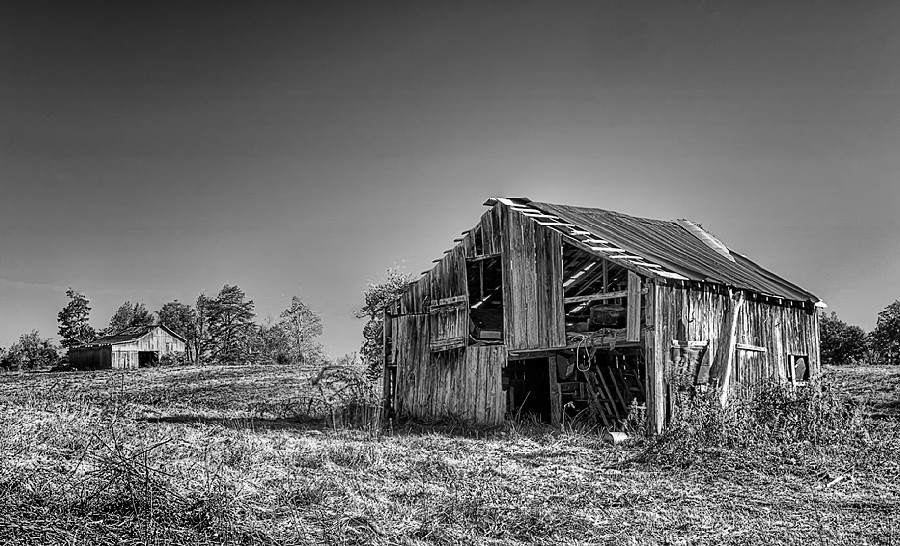
Still Standing
Cathrin 1 of 2

Princeton, KY Barn

The Rebel - Earlington, Kentucky
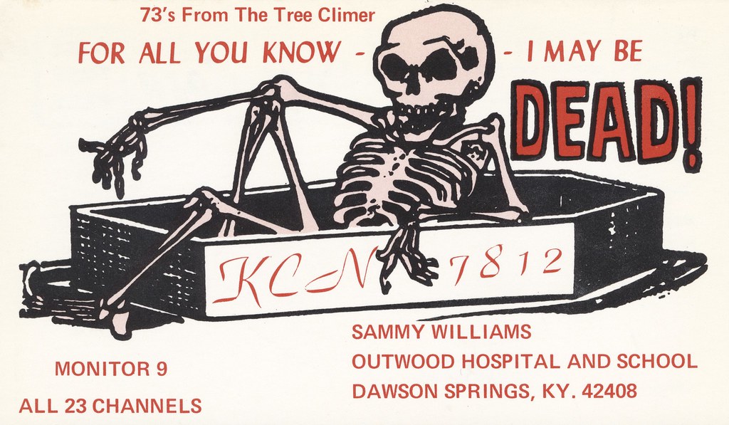
The Tree Climer - Dawson Springs, Kentucky

P&L #4504

P&L #2115

This Old House
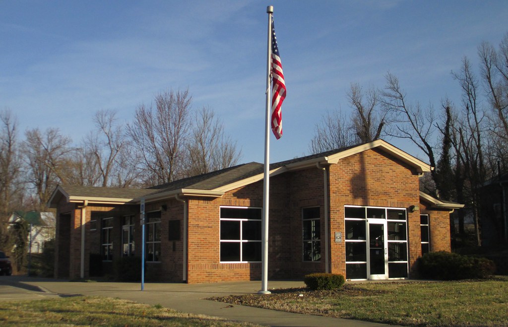
Post Office 42410 (Earlington, Kentucky)

CSX Train T519

P&L Train PNX1

P&L Train WW1
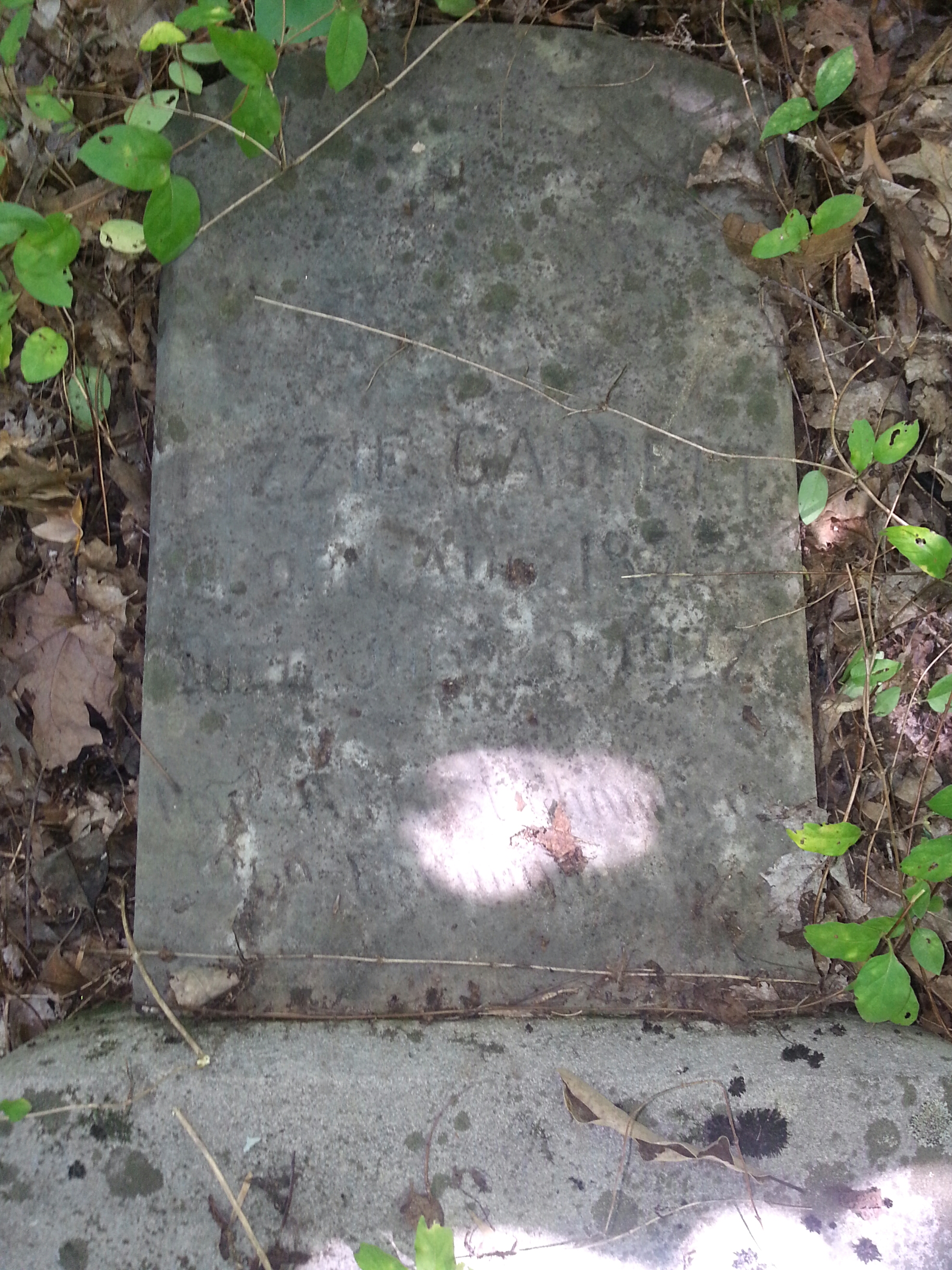
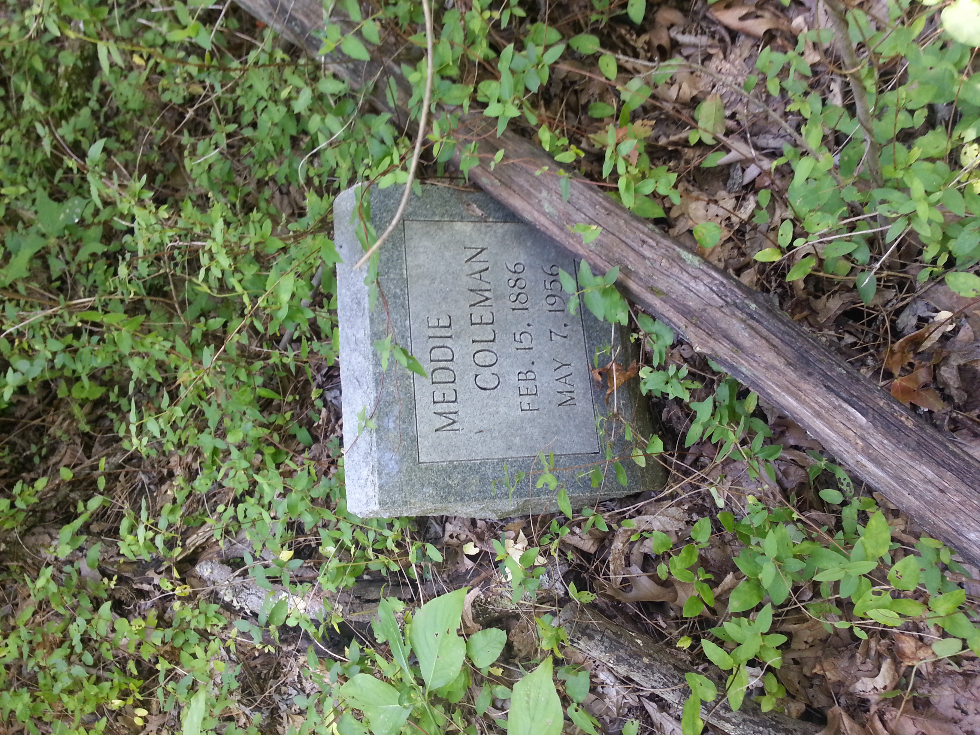
Lizzie Gant
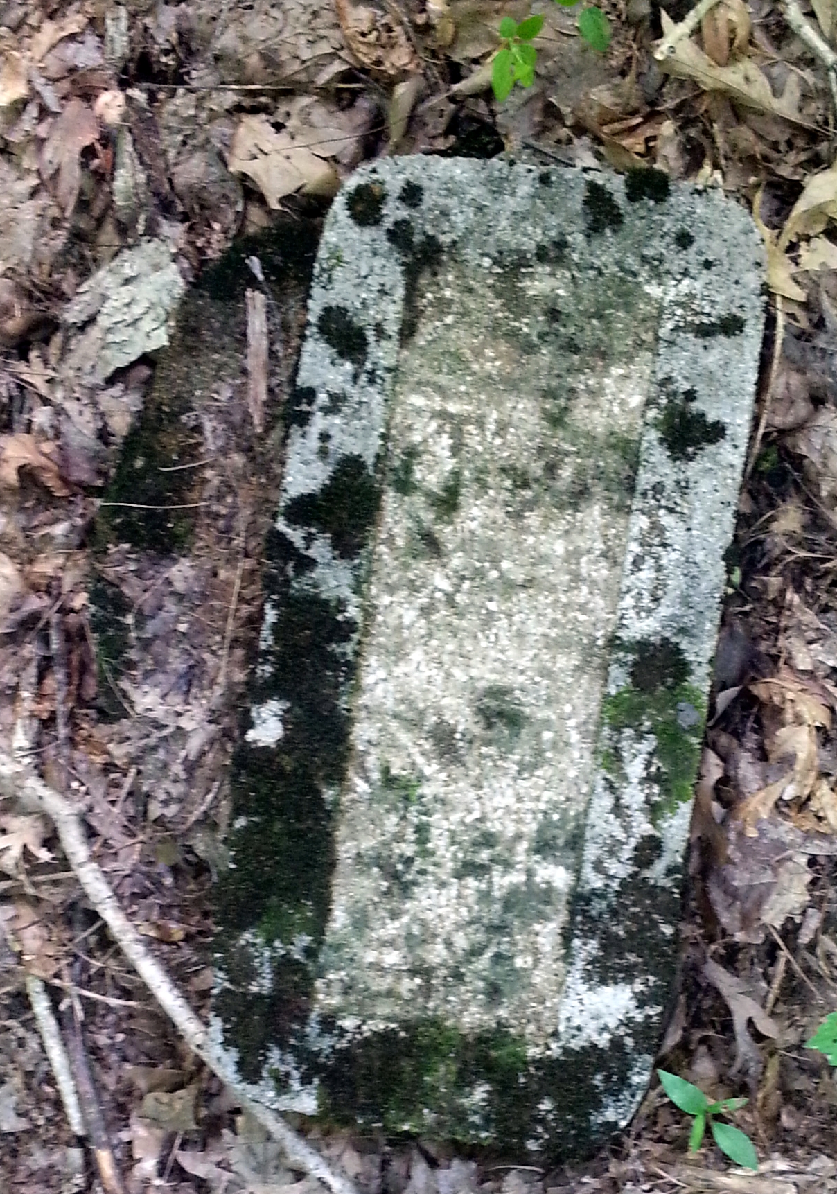
Couldnt make heads or tails of this one.
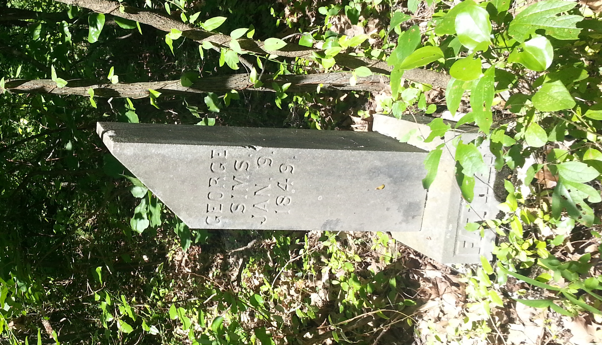
George Simms
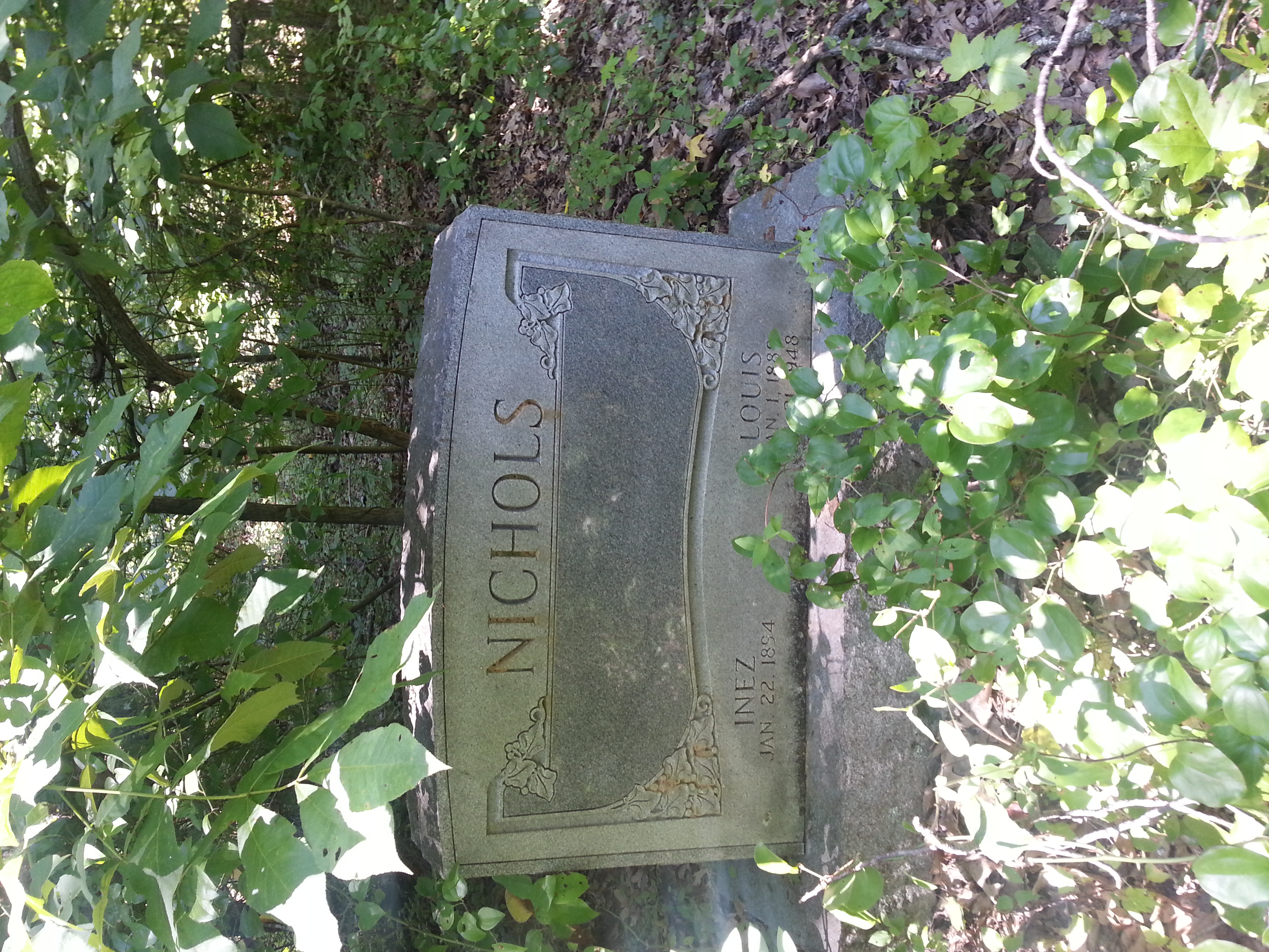
Louis Nichols
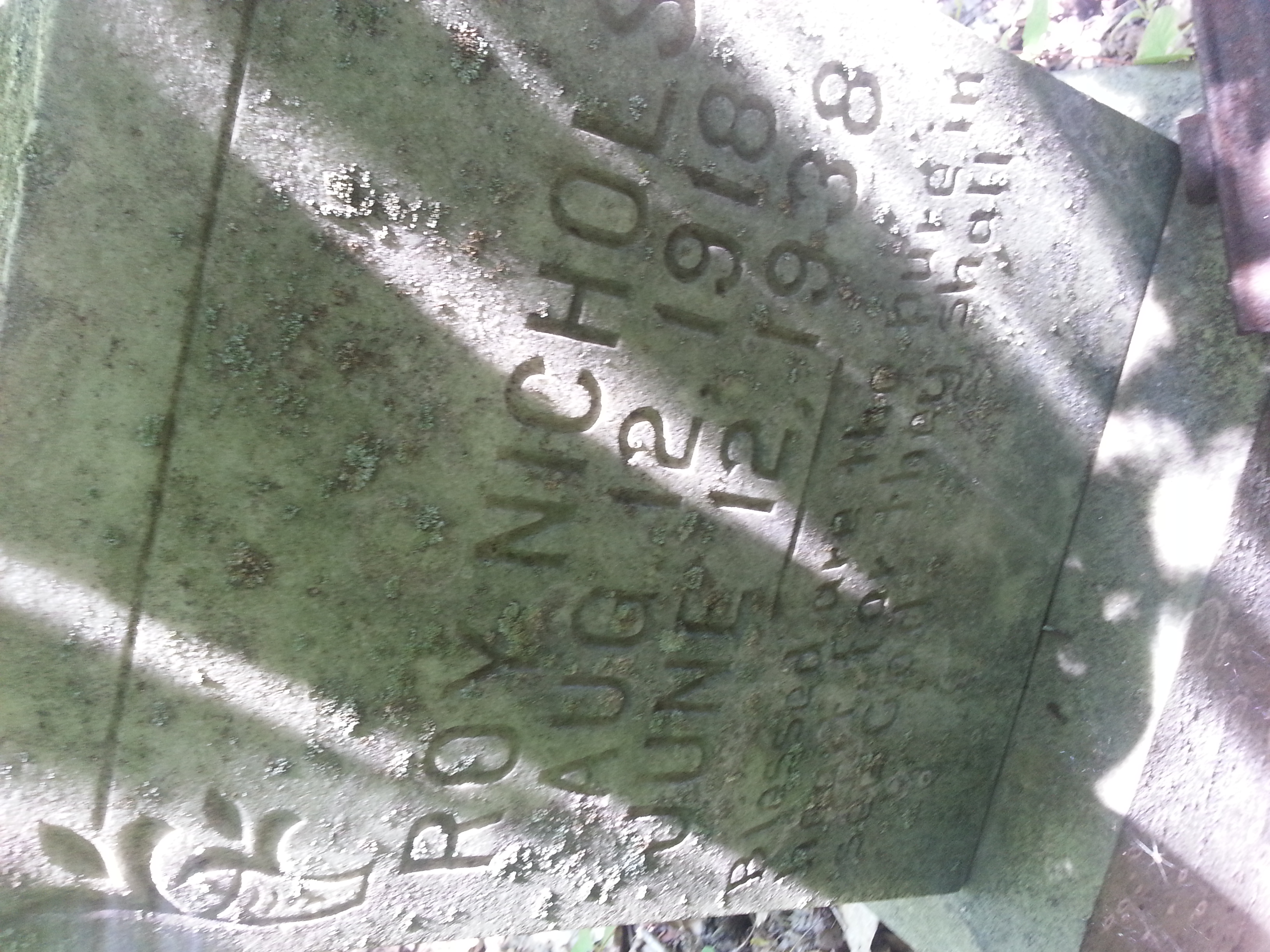
Roy Nichols
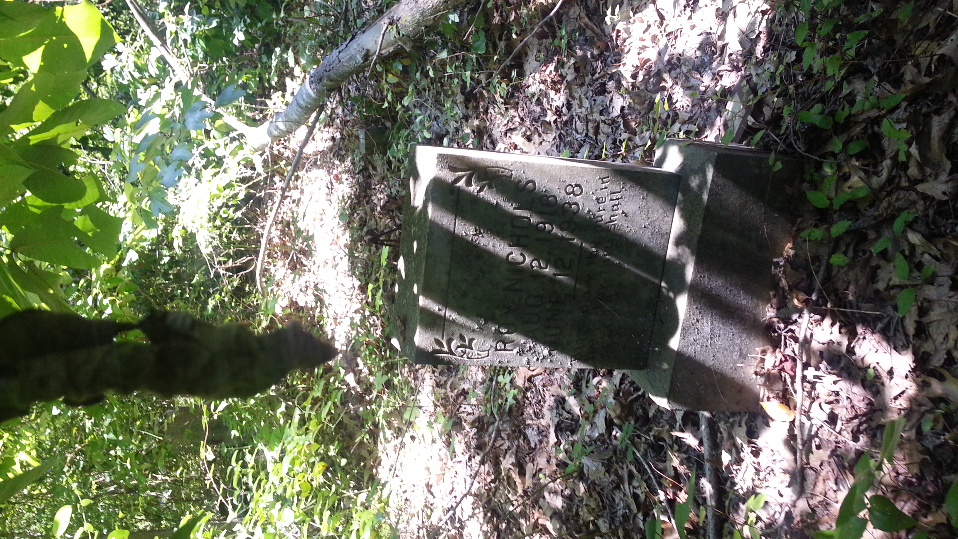
Roy Nichols 2 of 2
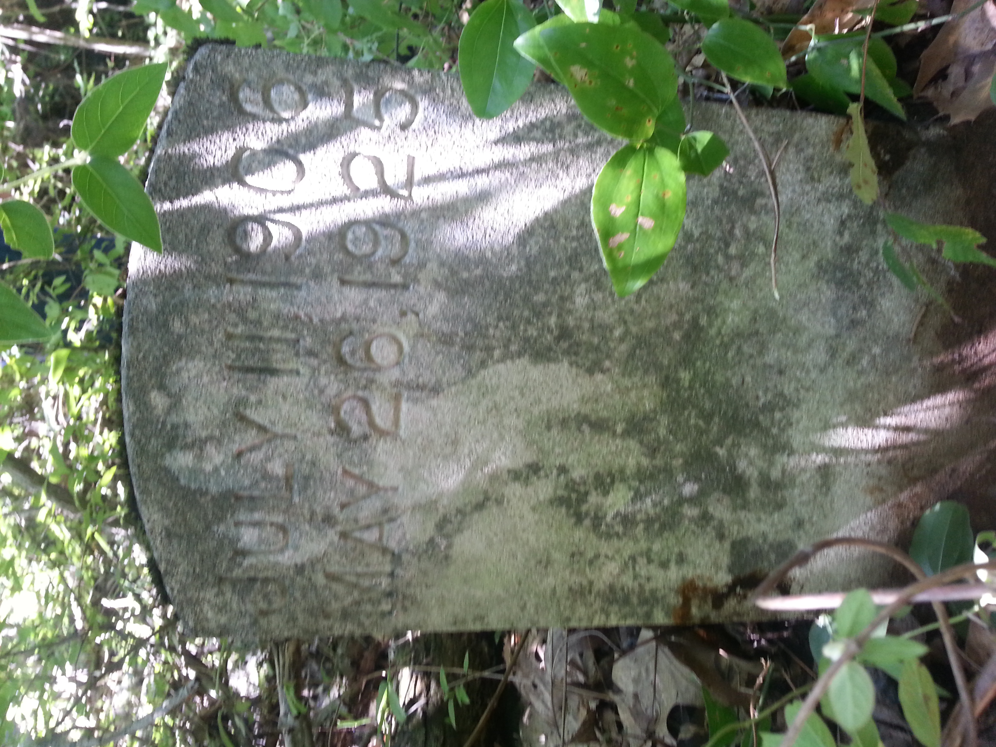
Louise 2 of 2
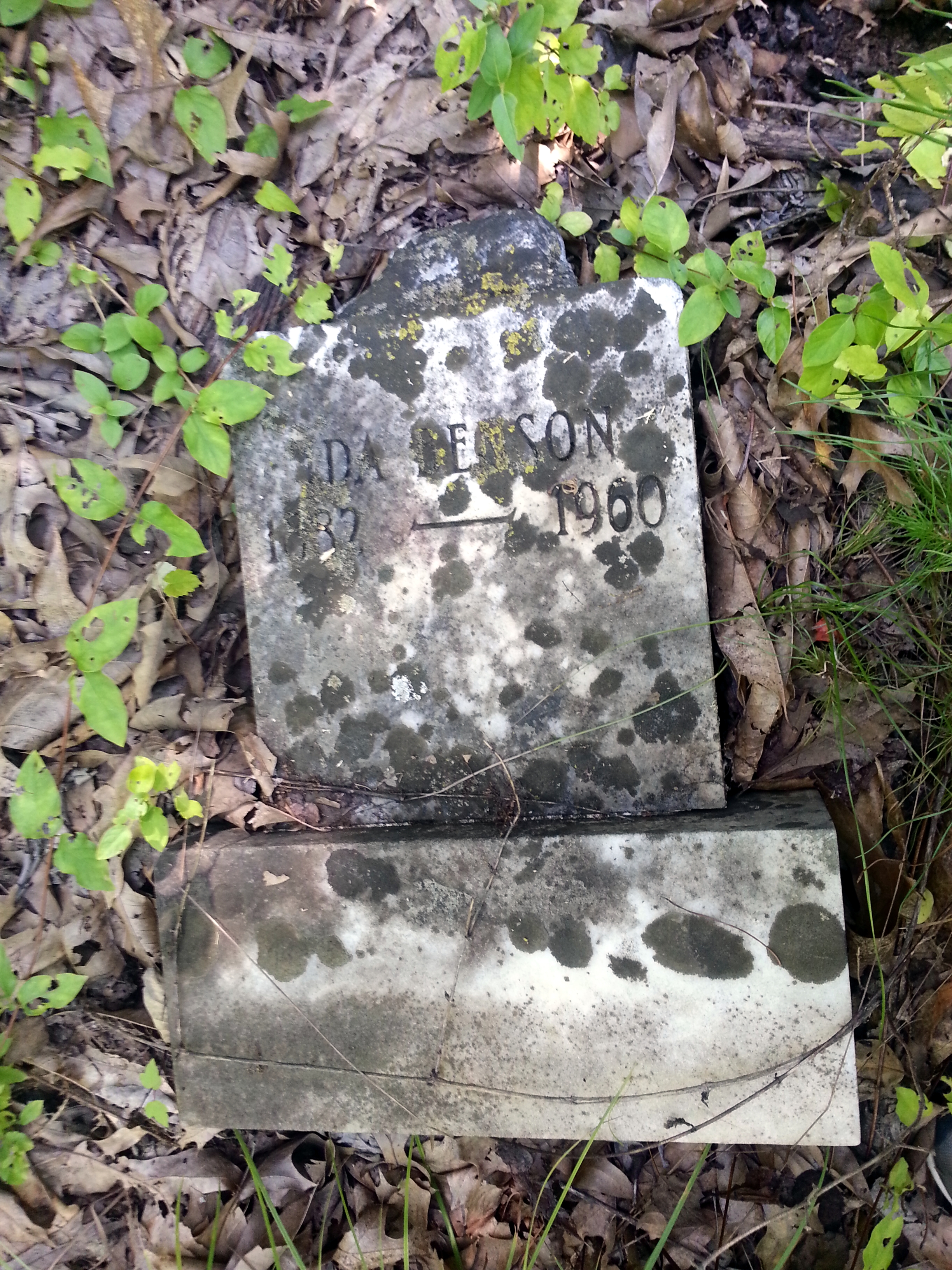
Ida Benson
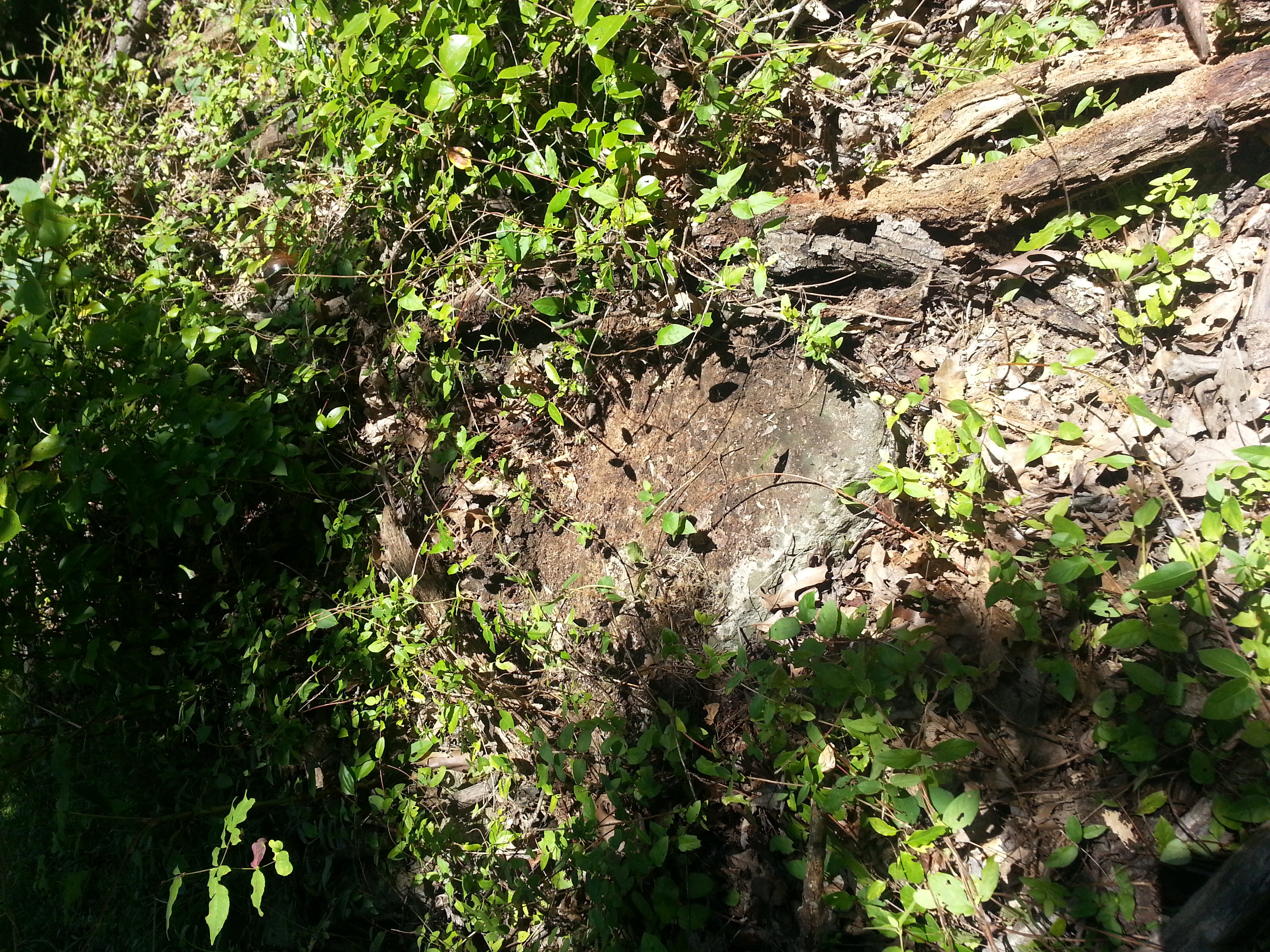
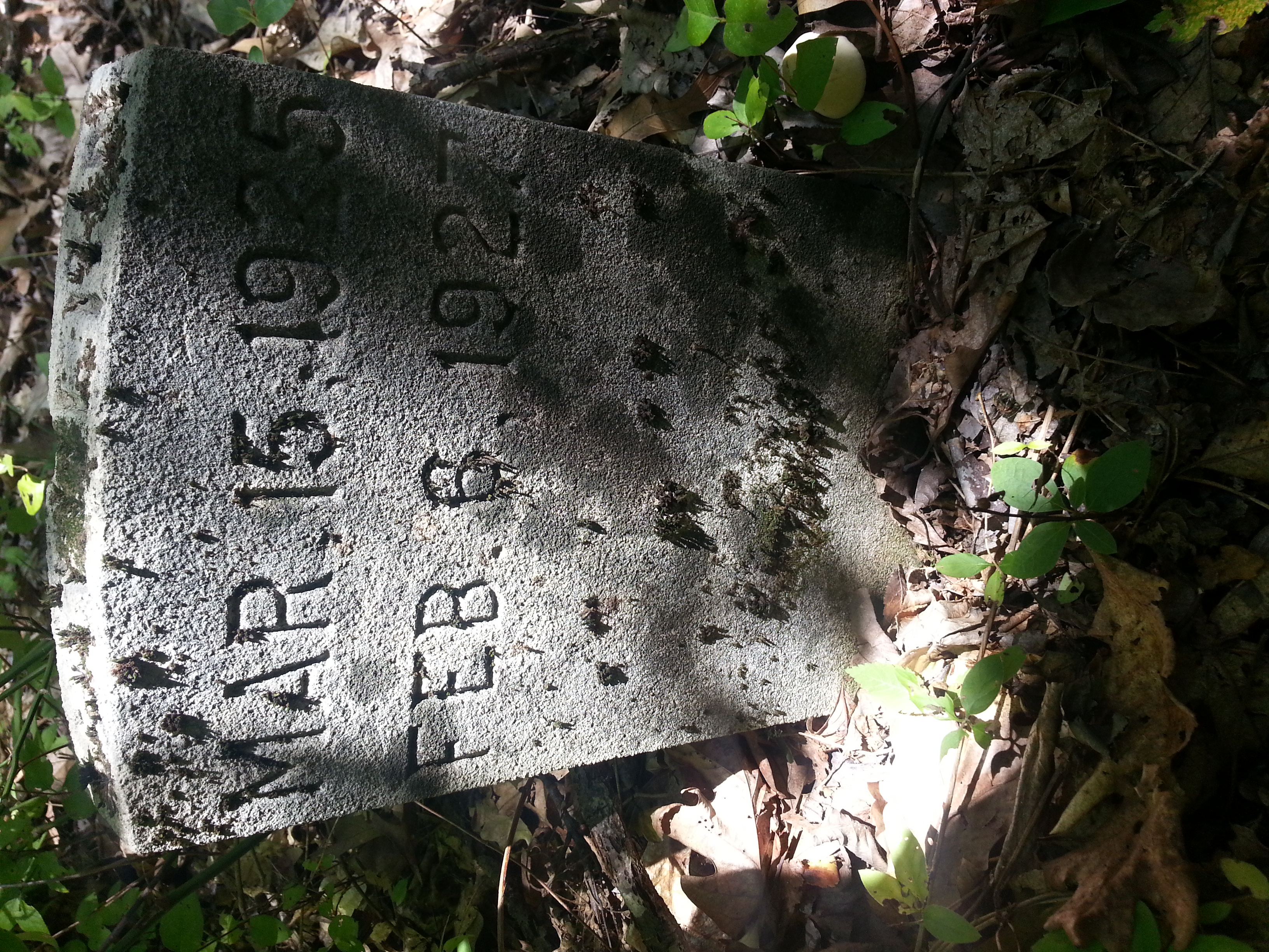
marker turned over, tree rotting on top
very tall tree laying next to grave marker
Topographic Map of Charleston Rd, Dawson Springs, KY, USA
Find elevation by address:

Places near Charleston Rd, Dawson Springs, KY, USA:
Daylight Road
2502 Olney Rd
East Walnut Street
608 E Walnut St
Dawson Springs
212 S Trim St
Meadows Hill Drive
Park Avenue
KY-, Dawson Springs, KY, USA
Mcknight Road
Mcknight Road
Nortonville Rd, Dawson Springs, KY, USA
White School House Road
Mount Hebron Church
6300 Olney Rd
Waterfall Cave
Mount Hebron Church Road
Saint Charles
Railroad St, Nortonville, KY, USA
Jones-keeney Wildlife Management Area
Recent Searches:
- Elevation of Redondo Ave, Long Beach, CA, USA
- Elevation of Sadovaya Ulitsa, 20, Rezh, Sverdlovskaya oblast', Russia
- Elevation of Ulitsa Kalinina, 79, Rezh, Sverdlovskaya oblast', Russia
- Elevation of 72-31 Metropolitan Ave, Middle Village, NY, USA
- Elevation of 76 Metropolitan Ave, Brooklyn, NY, USA
- Elevation of Alisal Rd, Solvang, CA, USA
- Elevation of Vista Blvd, Sparks, NV, USA
- Elevation of 15th Ave SE, St. Petersburg, FL, USA
- Elevation of Beall Road, Beall Rd, Florida, USA
- Elevation of Leguwa, Nepal