Elevation of Nortonville Rd, Dawson Springs, KY, USA
Location: United States > Kentucky >
Longitude: -87.600582
Latitude: 37.1859652
Elevation: 144m / 472feet
Barometric Pressure: 100KPa
Elevation Map:
Satellite Map:
Related Photos:
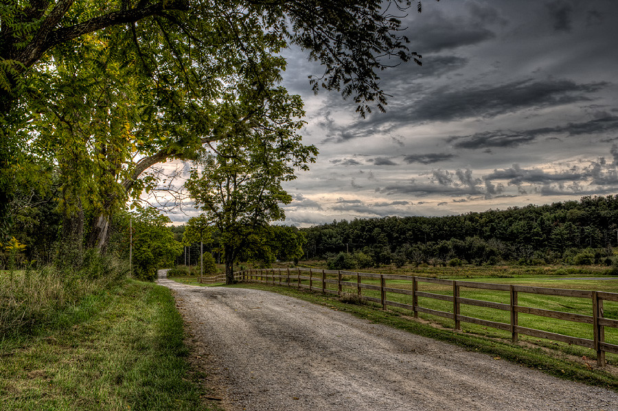
Forestry Road
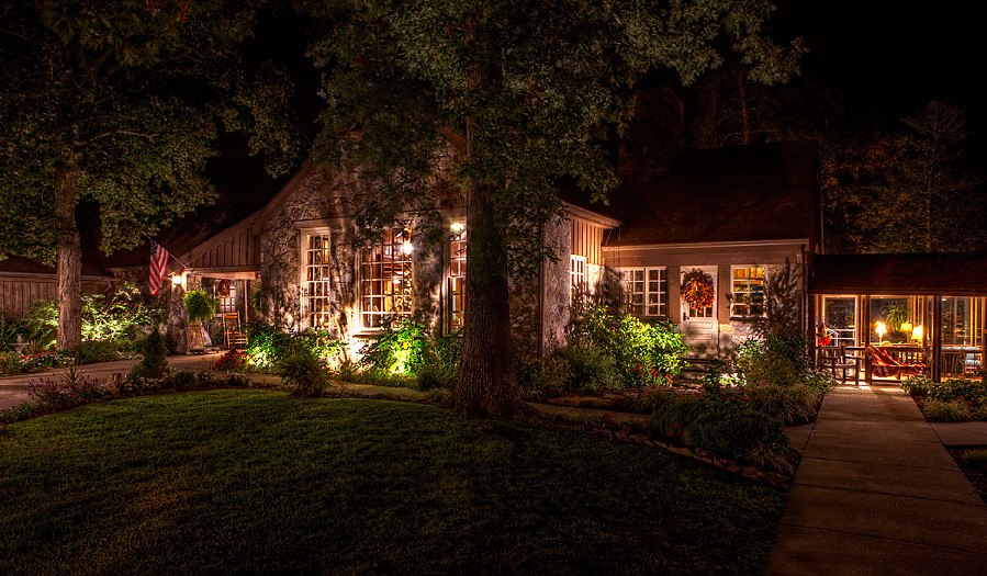
Cabin in the Woods
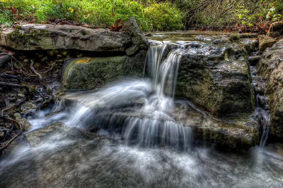
Quiet Stream
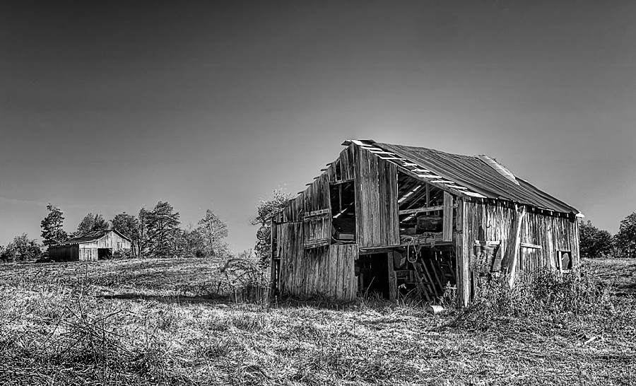
Still Standing
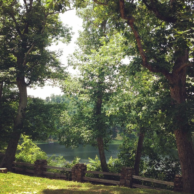
The view from my room. #research #retreat

Slaton farm
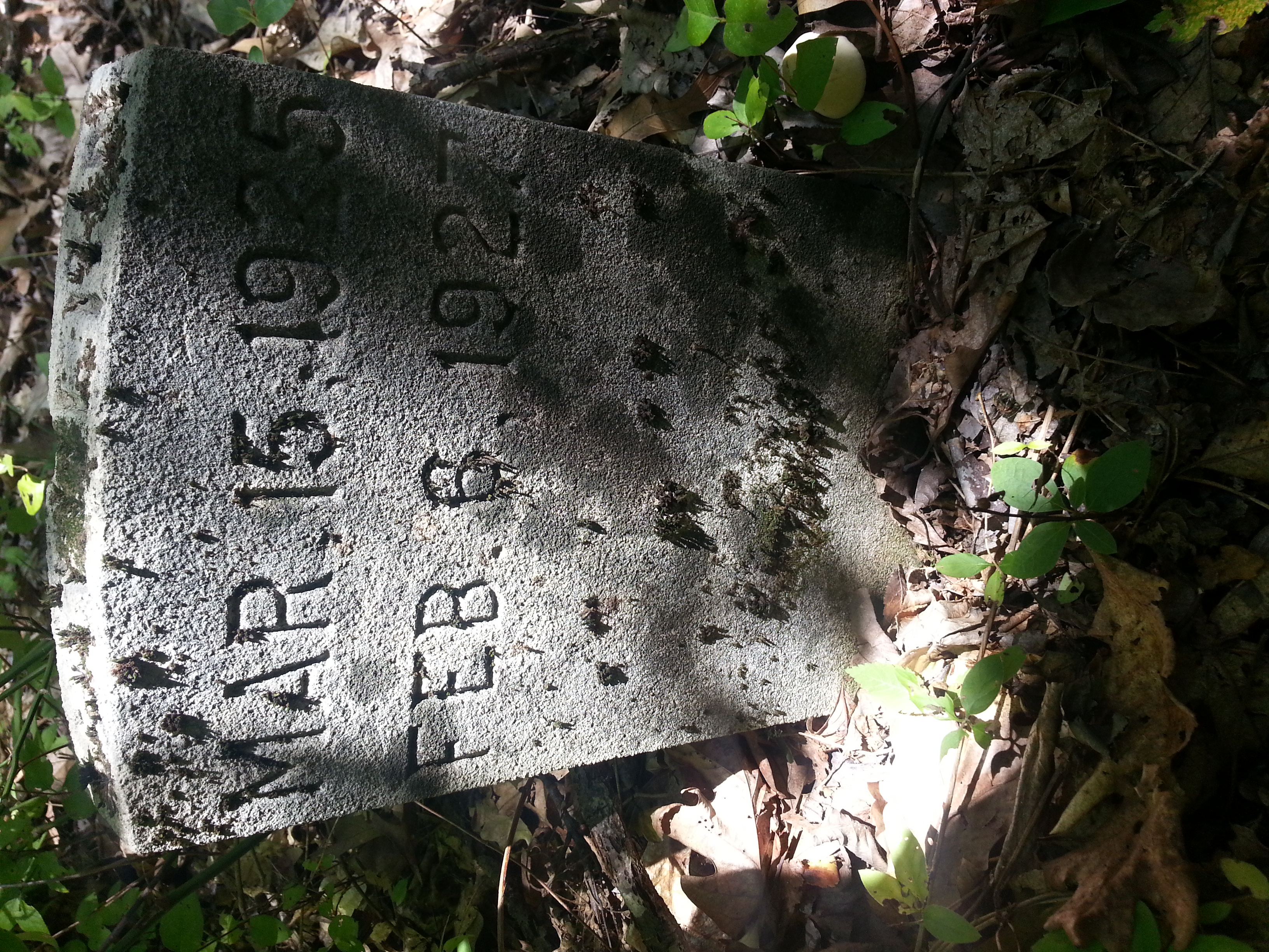
Cathrin 1 of 2
Topographic Map of Nortonville Rd, Dawson Springs, KY, USA
Find elevation by address:

Places near Nortonville Rd, Dawson Springs, KY, USA:
Railroad St, Nortonville, KY, USA
Saint Charles
Daylight Road
Mcknight Road
Mcknight Road
Charleston Rd, Dawson Springs, KY, USA
Meadows Hill Drive
608 E Walnut St
East Walnut Street
Dawson Springs
Park Avenue
212 S Trim St
KY-, Dawson Springs, KY, USA
2502 Olney Rd
Mount Hebron Church
White School House Road
Mount Hebron Church Road
Waterfall Cave
Jones-keeney Wildlife Management Area
6300 Olney Rd
Recent Searches:
- Elevation of Corso Fratelli Cairoli, 35, Macerata MC, Italy
- Elevation of Tallevast Rd, Sarasota, FL, USA
- Elevation of 4th St E, Sonoma, CA, USA
- Elevation of Black Hollow Rd, Pennsdale, PA, USA
- Elevation of Oakland Ave, Williamsport, PA, USA
- Elevation of Pedrógão Grande, Portugal
- Elevation of Klee Dr, Martinsburg, WV, USA
- Elevation of Via Roma, Pieranica CR, Italy
- Elevation of Tavkvetili Mountain, Georgia
- Elevation of Hartfords Bluff Cir, Mt Pleasant, SC, USA