Elevation of Kuji, Iwate Prefecture, Japan
Location: Japan > Iwate Prefecture >
Longitude: 141.775582
Latitude: 40.1905242
Elevation: 8m / 26feet
Barometric Pressure: 101KPa
Elevation Map:
Satellite Map:
Related Photos:
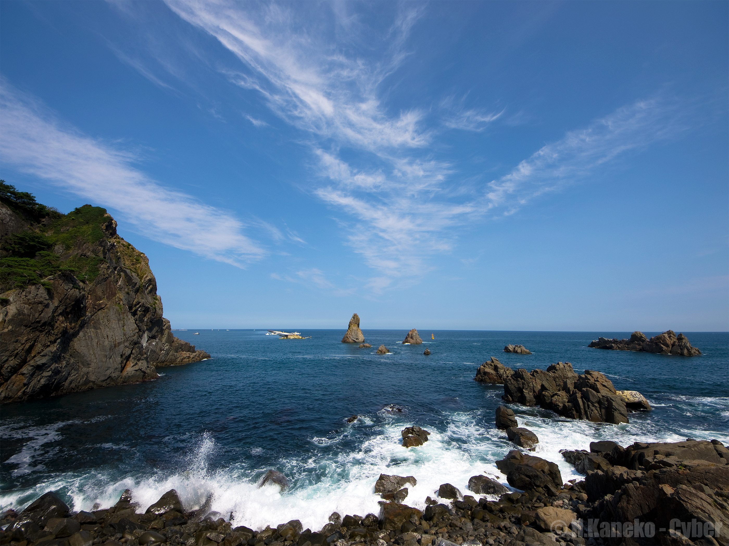
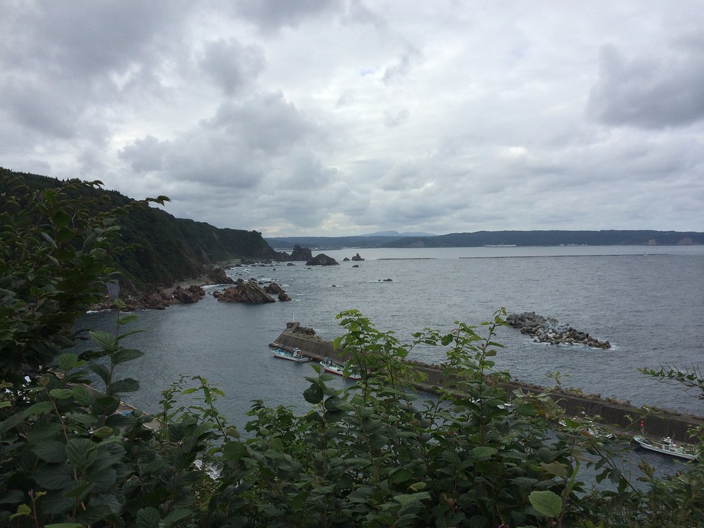
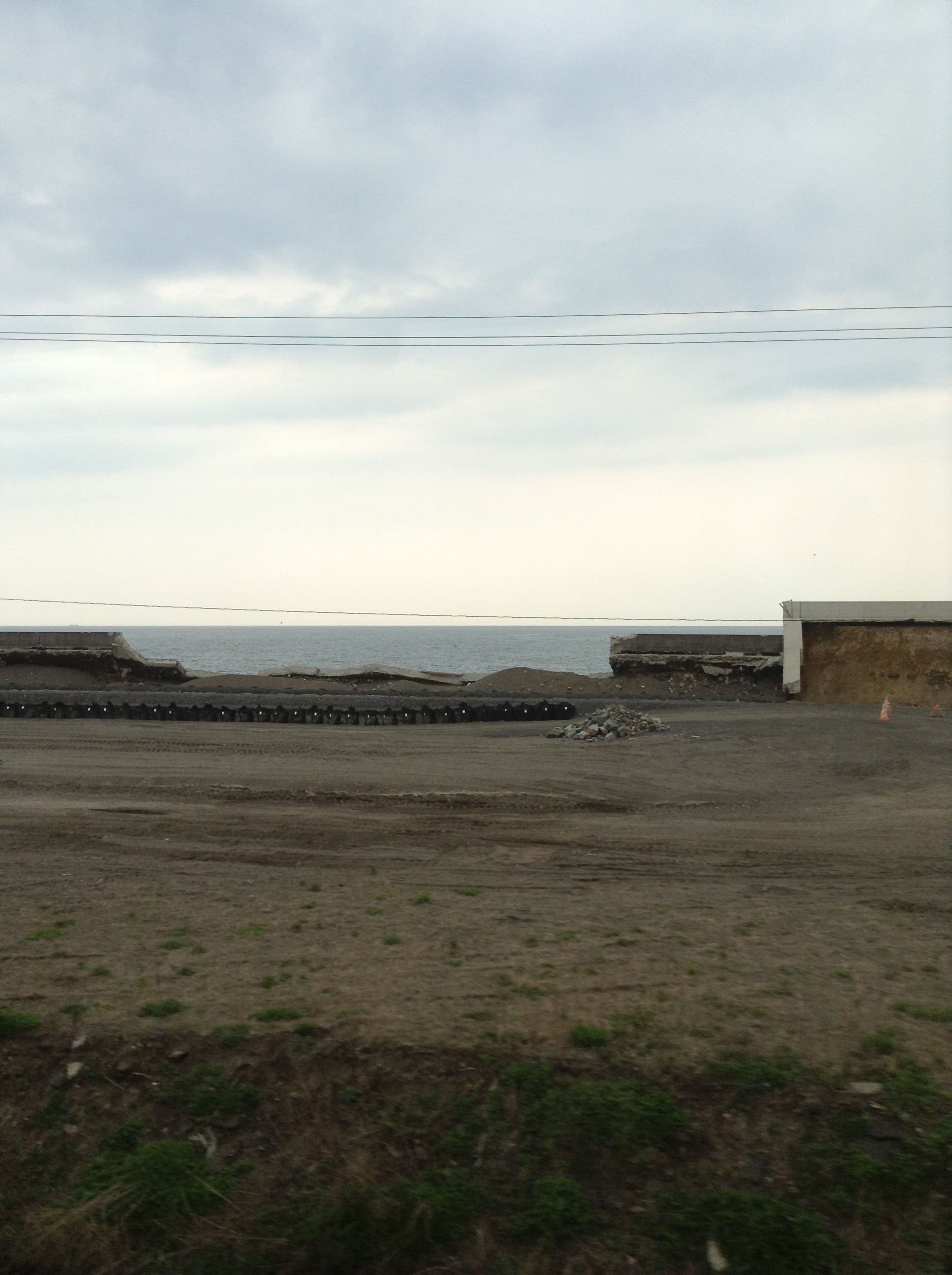
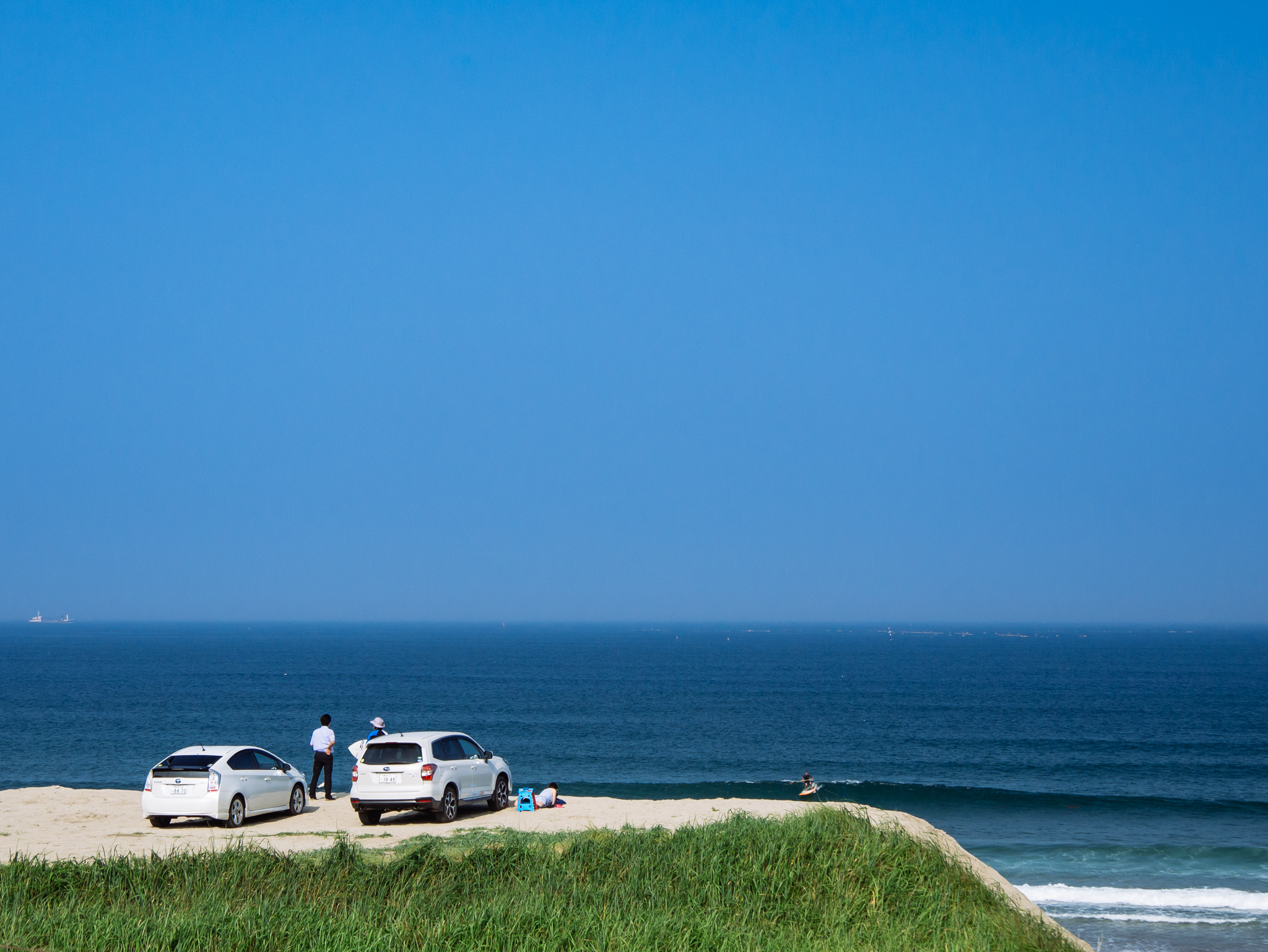
三陸海岸の青い空と海 (Sanriku coast with blue sky and sea)
IMG_1216 80
IMG_1258 81
iPhone5sで撮影 夏の東北旅行2014
IMG_0056 7
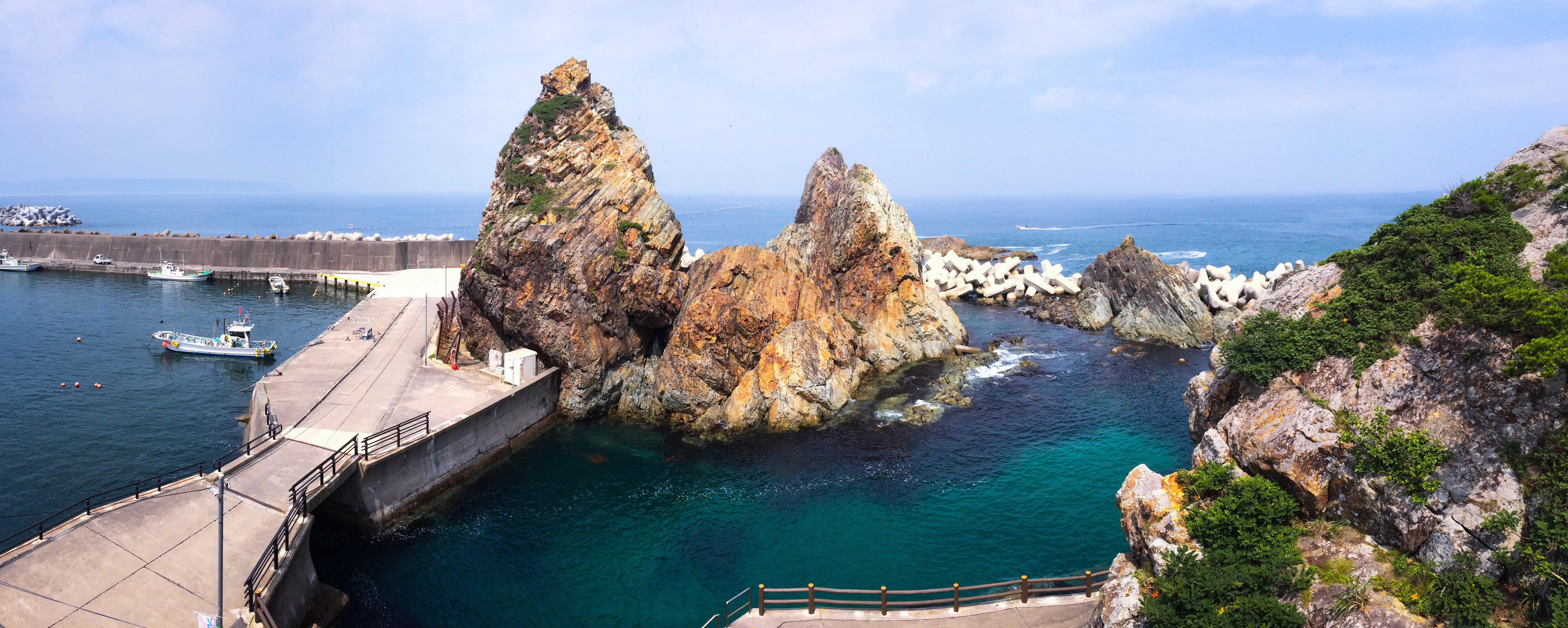
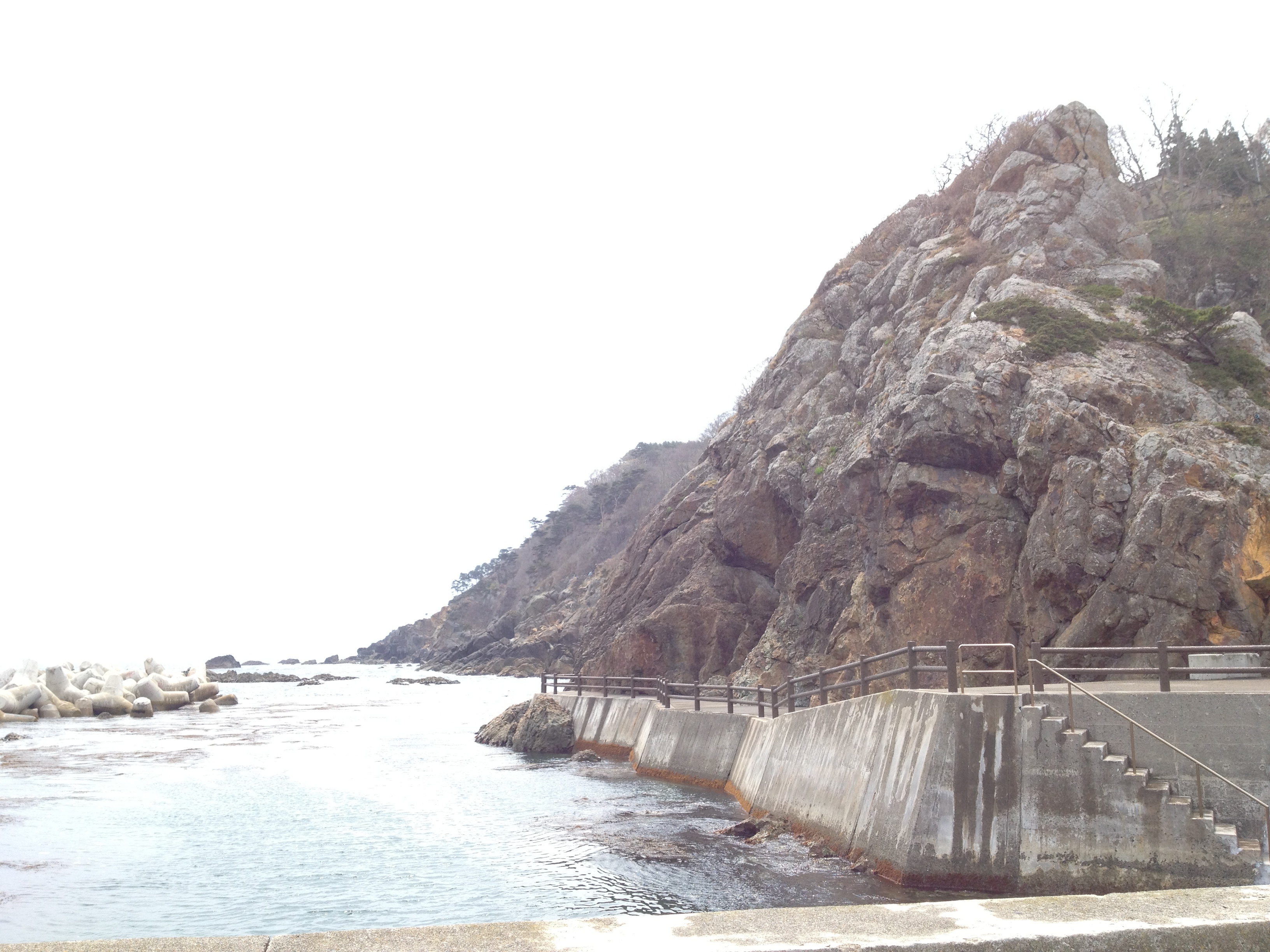
小袖海岸 Kosode Coast
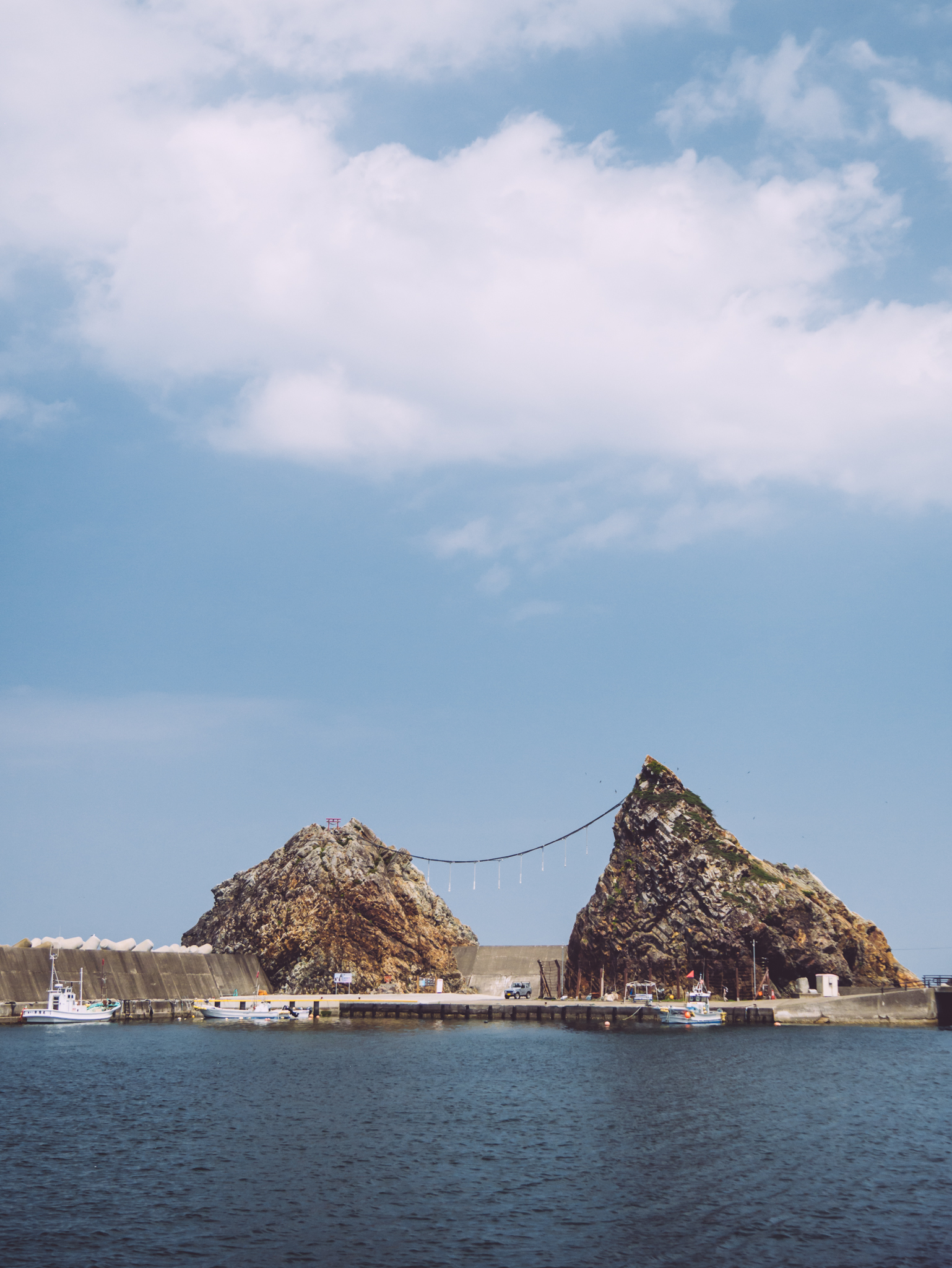
小袖海岸 Kosode Coast

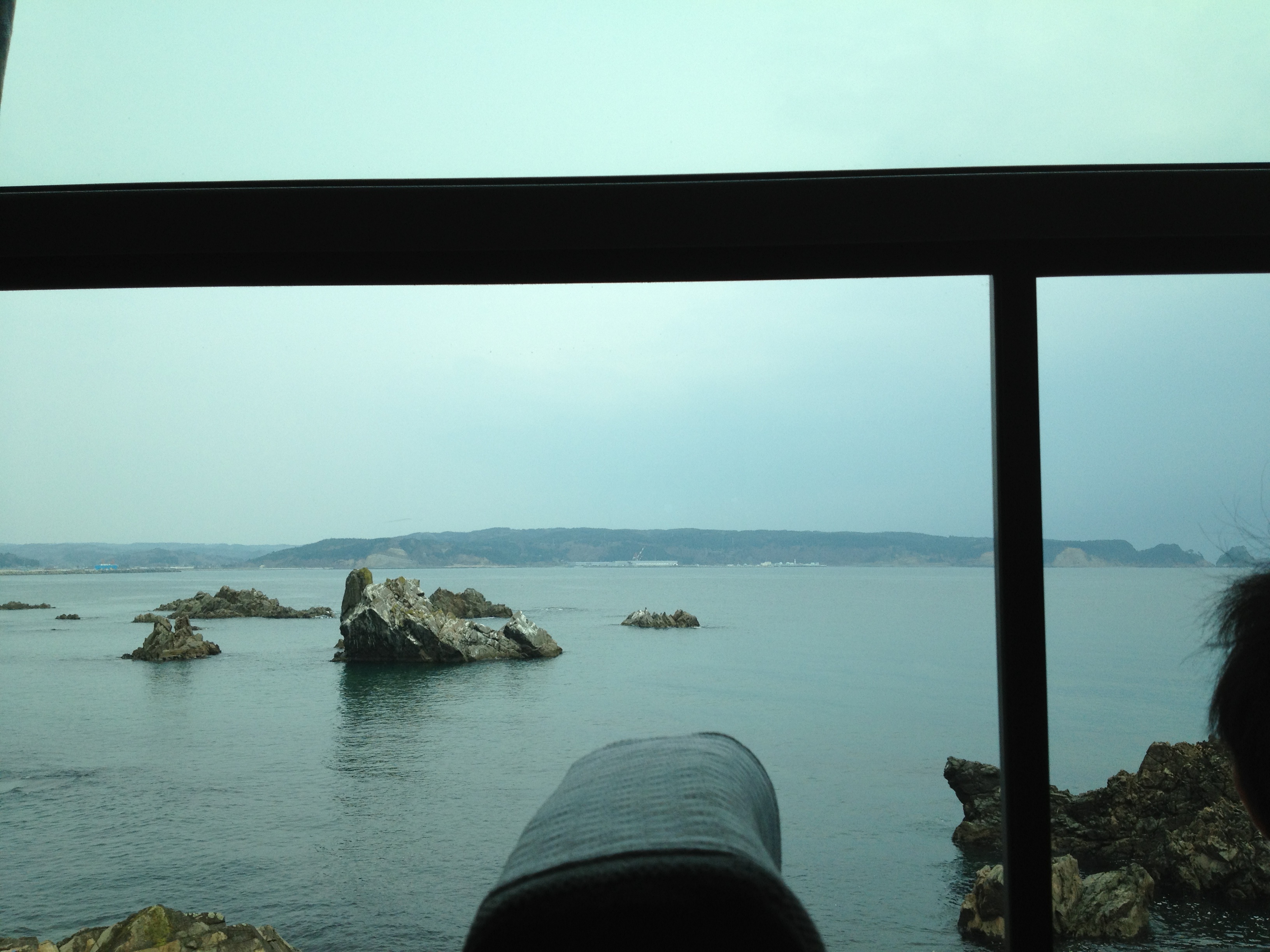
海が真っ青で,車窓の風景すごいよ八戸線。サーファーがたくさんいる
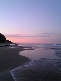
first day out
八戸線 Hachinohe Line
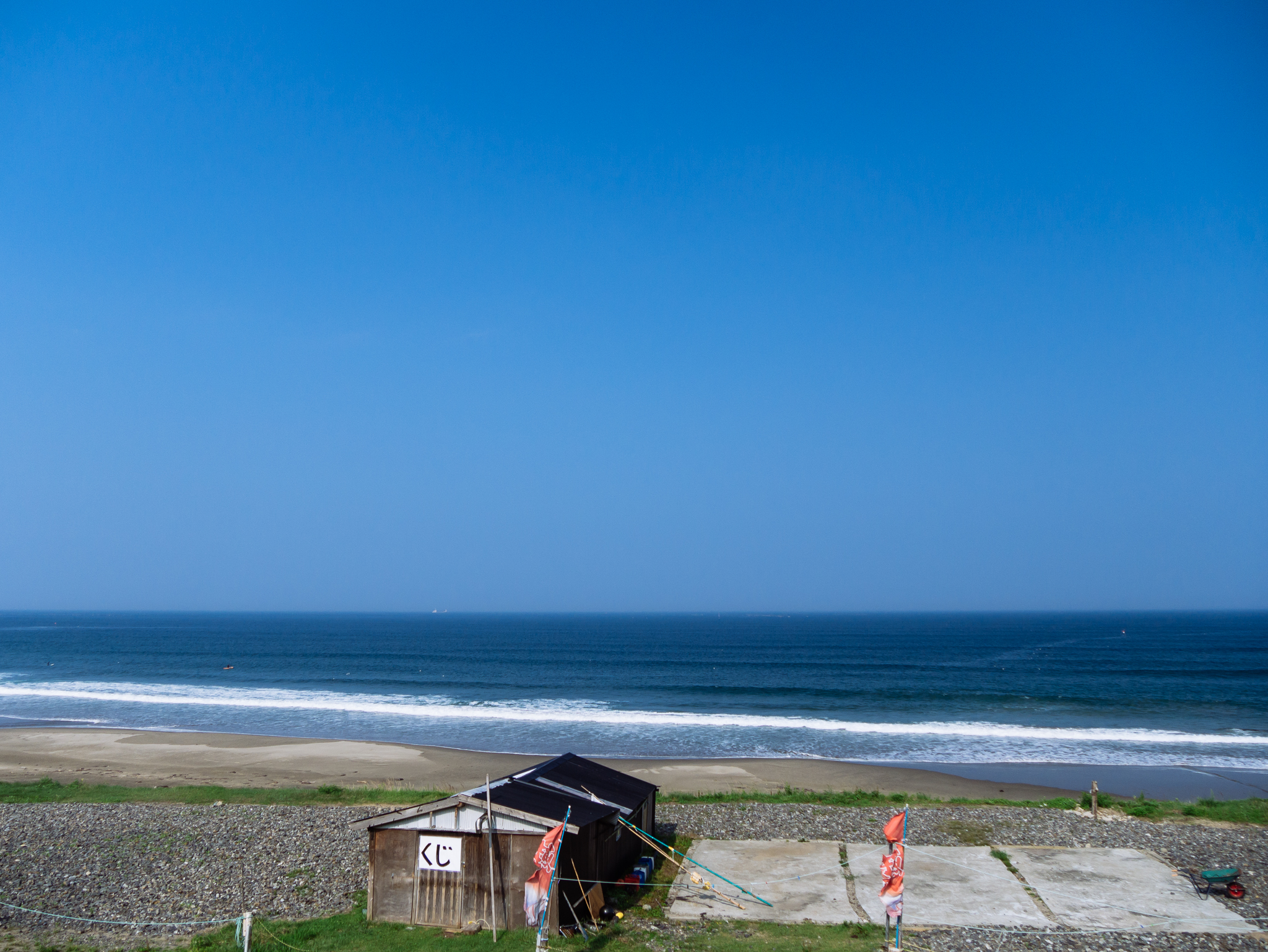
八戸線 Hachinohe Line
Topographic Map of Kuji, Iwate Prefecture, Japan
Find elevation by address:

Places in Kuji, Iwate Prefecture, Japan:
Places near Kuji, Iwate Prefecture, Japan:
Dai 25 Chiwari-33 Kokujichō, Kuji-shi, Iwate-ken -, Japan
Noda
Dai 5 Chiwari-- Tamagawa, Noda-mura, Kunohe-gun, Iwate-ken -, Japan
Dai 8 Chiwari- Noda, Noda-mura, Kunohe-gun, Iwate-ken -, Japan
Dai 58 Chiwari-12- Ōno, Hirono-chō, Kunohe-gun, Iwate-ken -, Japan
Hirono
Dai 23 Chiwari-27- Taneichi, Hirono-chō, Kunohe-gun, Iwate-ken -, Japan
Kunohe District
Nanataki, Tanohata-mura, Shimohei-gun, Iwate-ken -, Japan
Tanohata
Hashikami
Gyōnin-17 Toyabe, Hashikami-chō, Sannohe-gun, Aomori-ken -, Japan
Shimohei District
Karumai
Dai 8 Chiwari--5 Karumai, Karumai-machi, Kunohe-gun, Iwate-ken -, Japan
Onibatai-11 Samemachi, Hachinohe-shi, Aomori-ken -, Japan
Iwaizumi
Dai 6 Chiwari-51 Ibonai, Kunohe-mura, Kunohe-gun, Iwate-ken -, Japan
Kunohe
Dai 19 Chiwari- Toda, Kunohe-mura, Kunohe-gun, Iwate-ken -, Japan
Recent Searches:
- Elevation of Côte-des-Neiges, Montreal, QC H4A 3J6, Canada
- Elevation of Bobcat Dr, Helena, MT, USA
- Elevation of Zu den Ihlowbergen, Althüttendorf, Germany
- Elevation of Badaber, Peshawar, Khyber Pakhtunkhwa, Pakistan
- Elevation of SE Heron Loop, Lincoln City, OR, USA
- Elevation of Slanický ostrov, 01 Námestovo, Slovakia
- Elevation of Spaceport America, Co Rd A, Truth or Consequences, NM, USA
- Elevation of Warwick, RI, USA
- Elevation of Fern Rd, Whitmore, CA, USA
- Elevation of 62 Abbey St, Marshfield, MA, USA