Elevation of Dai 6 Chiwari-51 Ibonai, Kunohe-mura, Kunohe-gun, Iwate-ken -, Japan
Location: Japan > Iwate Prefecture > Kunohe District > Kunohe >
Longitude: 141.423240
Latitude: 40.2086615
Elevation: 281m / 922feet
Barometric Pressure: 98KPa
Elevation Map:
Satellite Map:
Related Photos:

青森ツーリング

青森ツーリング

青森ツーリング

馬淵川をチルトシフトしてみた

青森ツーリング

青森ツーリング

青森ツーリング

青森ツーリング

青森ツーリング
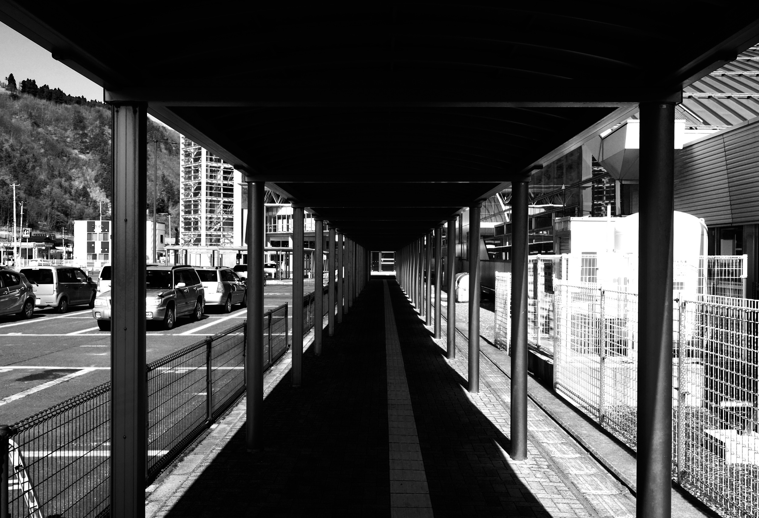
Road to...
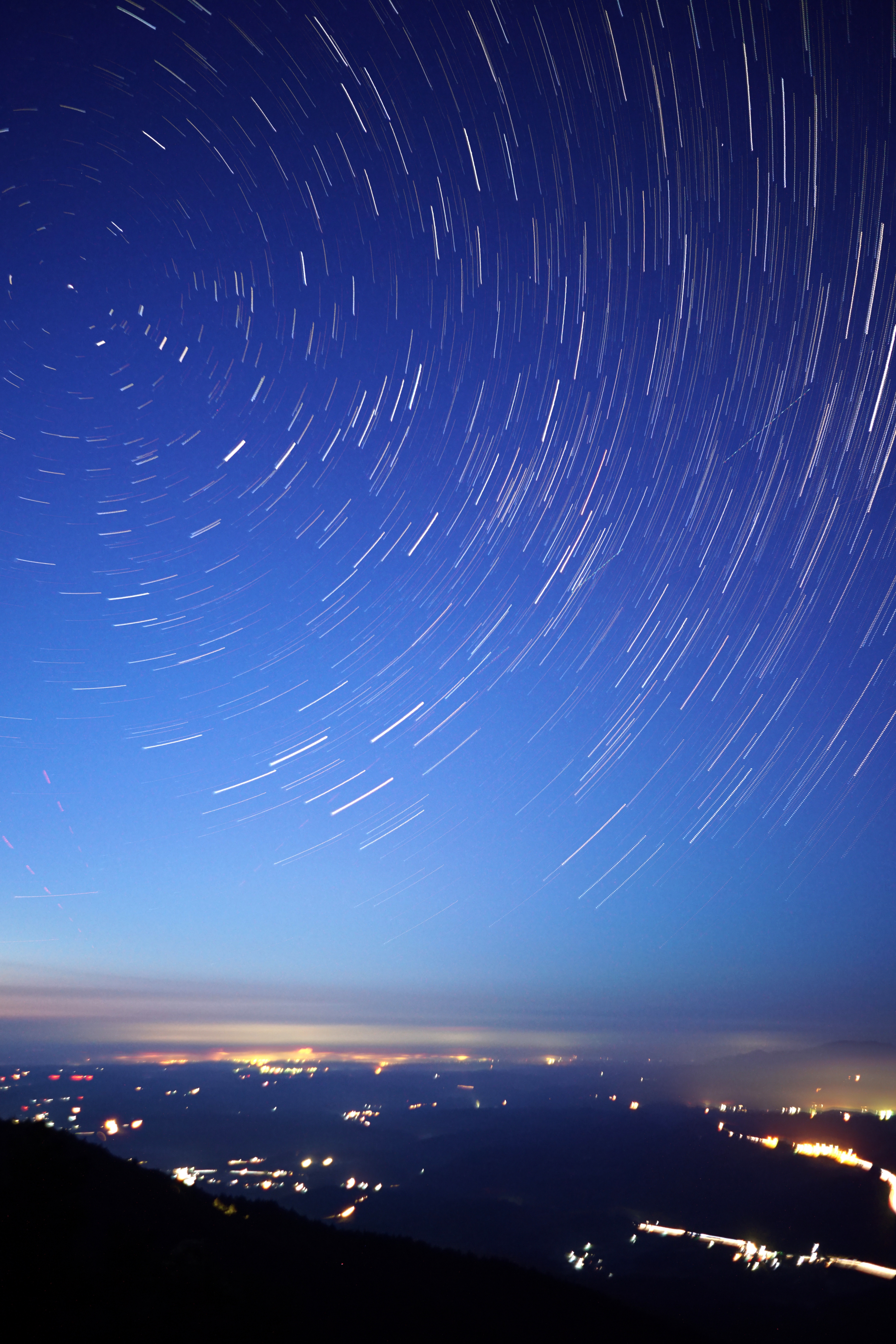
折爪星景 Star trails on Mt.Oritsume
結局、これも買っちゃったw
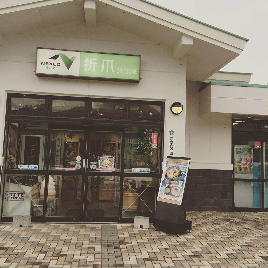
ミニ天丼セット

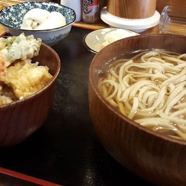
とりあえず、ひるめし
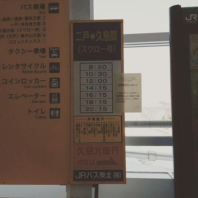
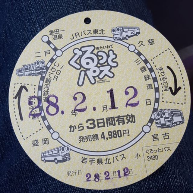
次はバス
二戸駅
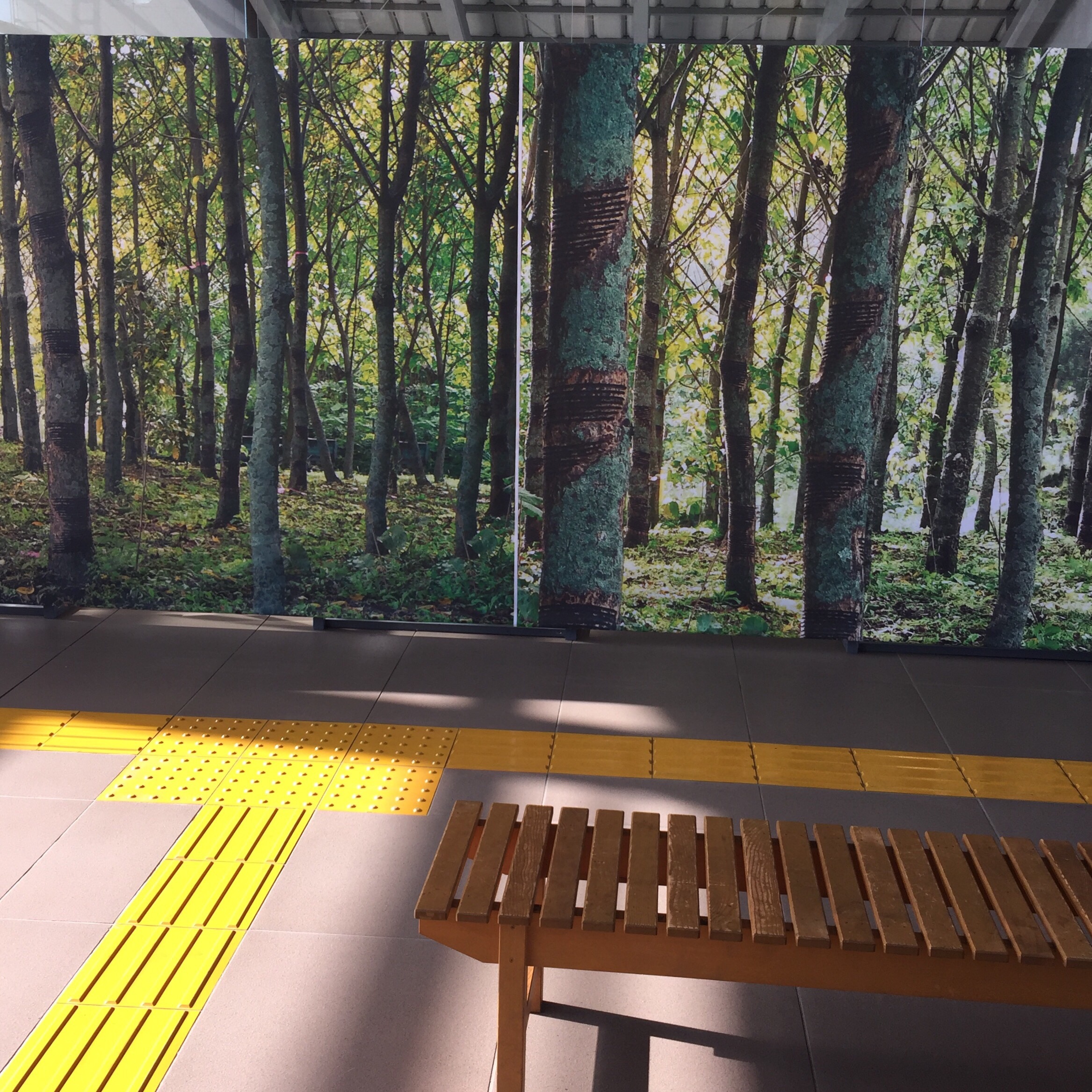
移動中

ラパン
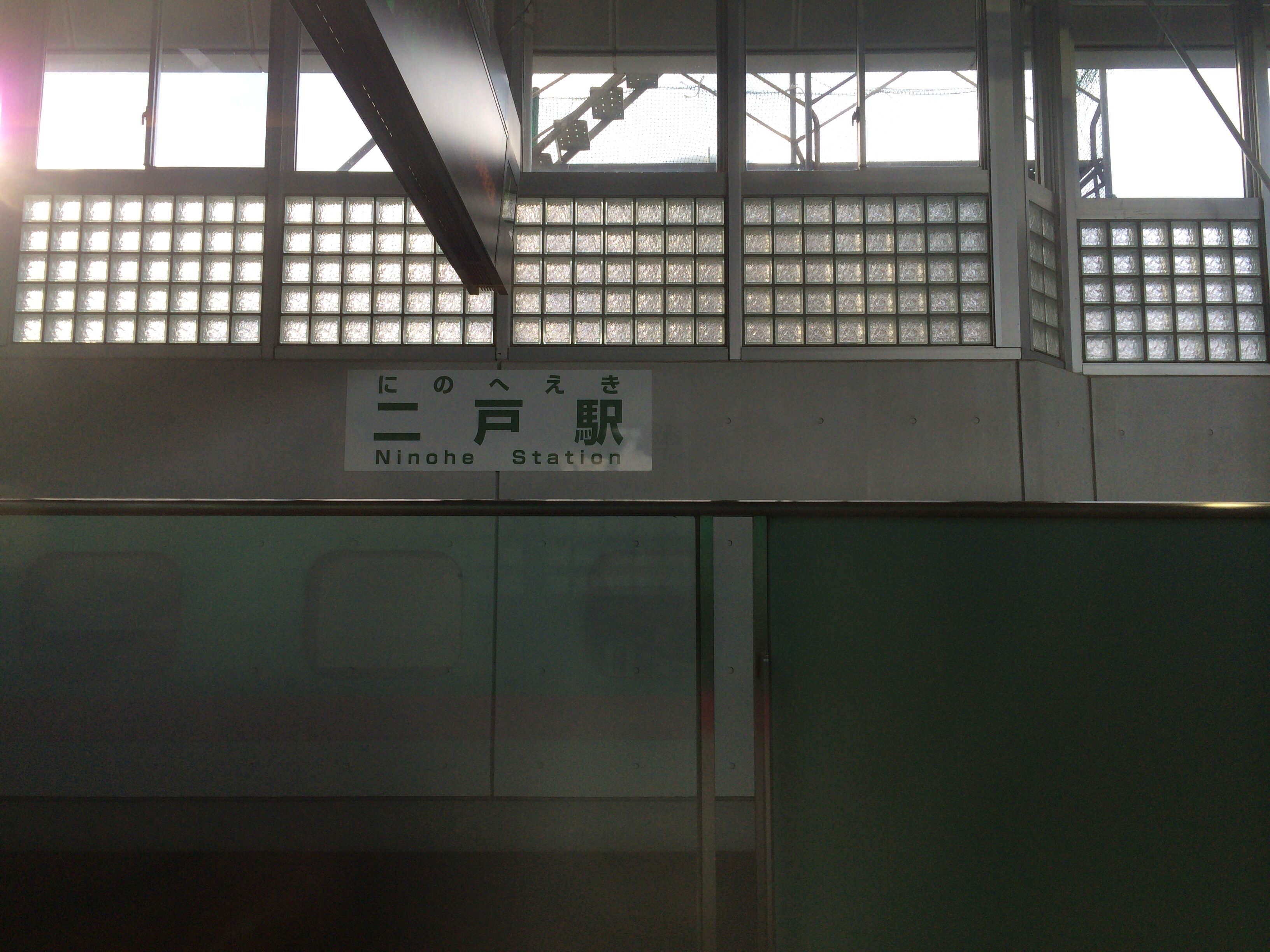
二戸到着

暇なのではやぶさとツーショット
Topographic Map of Dai 6 Chiwari-51 Ibonai, Kunohe-mura, Kunohe-gun, Iwate-ken -, Japan
Find elevation by address:

Places near Dai 6 Chiwari-51 Ibonai, Kunohe-mura, Kunohe-gun, Iwate-ken -, Japan:
Kunohe
Dai 19 Chiwari- Toda, Kunohe-mura, Kunohe-gun, Iwate-ken -, Japan
Karumai
Ichinohe
Dai 8 Chiwari--5 Karumai, Karumai-machi, Kunohe-gun, Iwate-ken -, Japan
Ninohe
Ninohe District
Uenoyama-23 Horino, Ninohe-shi, Iwate-ken -, Japan
Kunohe District
Dai 15 Chiwari-21 Kuzumaki, Kuzumaki-machi, Iwate-gun, Iwate-ken -, Japan
Kuzumaki
Shinden-37 Mega, Ichinohe-machi, Ninohe-gun, Iwate-ken -, Japan
Hirono
Shironoshita Umenai
Sannohe Castle
Sannohe
Dai 58 Chiwari-12- Ōno, Hirono-chō, Kunohe-gun, Iwate-ken -, Japan
Sannohe District
Sawada-16 Tonai, Sannohe-machi, Sannohe-gun, Aomori-ken -, Japan
Gyōnin-17 Toyabe, Hashikami-chō, Sannohe-gun, Aomori-ken -, Japan
Recent Searches:
- Elevation of Lampiasi St, Sarasota, FL, USA
- Elevation of Elwyn Dr, Roanoke Rapids, NC, USA
- Elevation of Congressional Dr, Stevensville, MD, USA
- Elevation of Bellview Rd, McLean, VA, USA
- Elevation of Stage Island Rd, Chatham, MA, USA
- Elevation of Shibuya Scramble Crossing, 21 Udagawacho, Shibuya City, Tokyo -, Japan
- Elevation of Jadagoniai, Kaunas District Municipality, Lithuania
- Elevation of Pagonija rock, Kranto 7-oji g. 8"N, Kaunas, Lithuania
- Elevation of Co Rd 87, Jamestown, CO, USA
- Elevation of Tenjo, Cundinamarca, Colombia