Elevation of Kunohe, Kunohe District, Iwate Prefecture, Japan
Location: Japan > Iwate Prefecture > Kunohe District >
Longitude: 141.418985
Latitude: 40.2113917
Elevation: 277m / 909feet
Barometric Pressure: 98KPa
Elevation Map:
Satellite Map:
Related Photos:

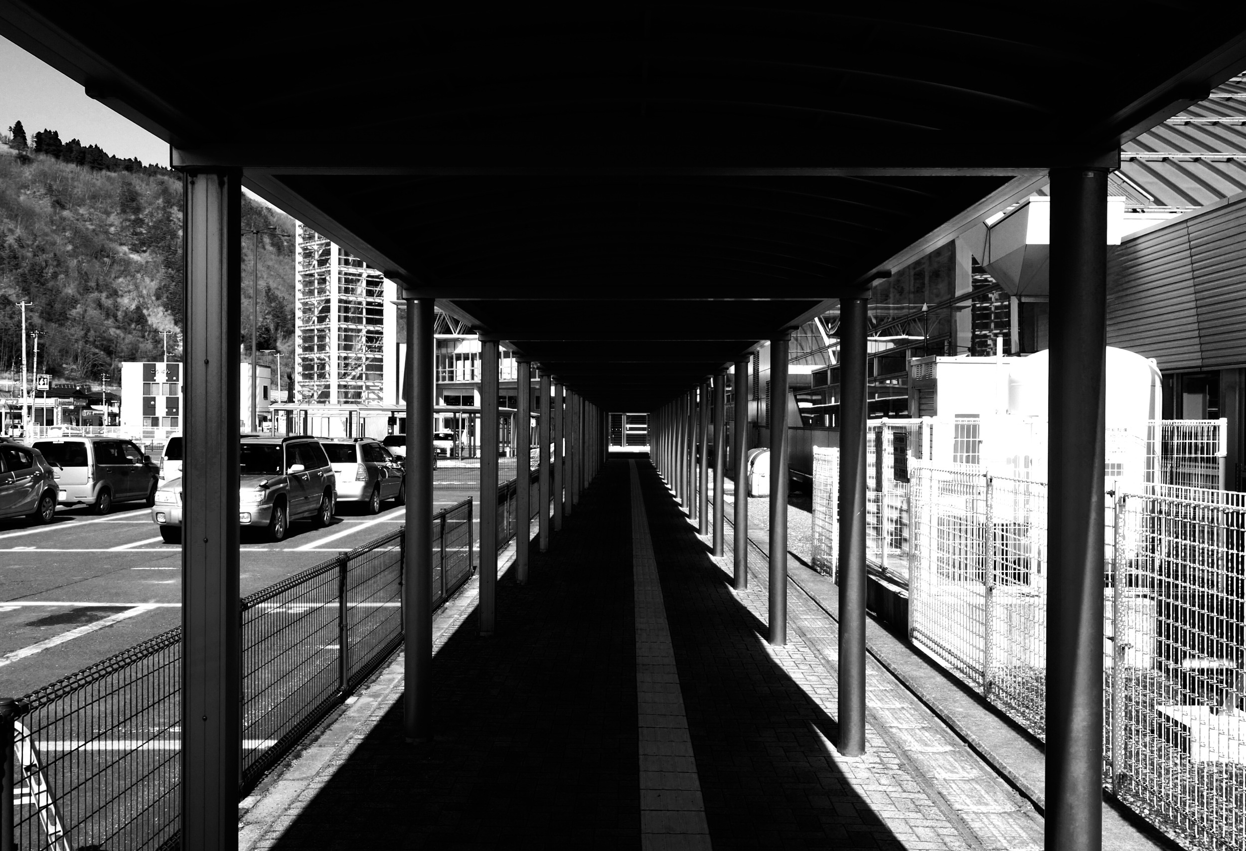
青森ツーリング

青森ツーリング

青森ツーリング

馬淵川をチルトシフトしてみた

青森ツーリング

青森ツーリング

青森ツーリング

青森ツーリング

青森ツーリング
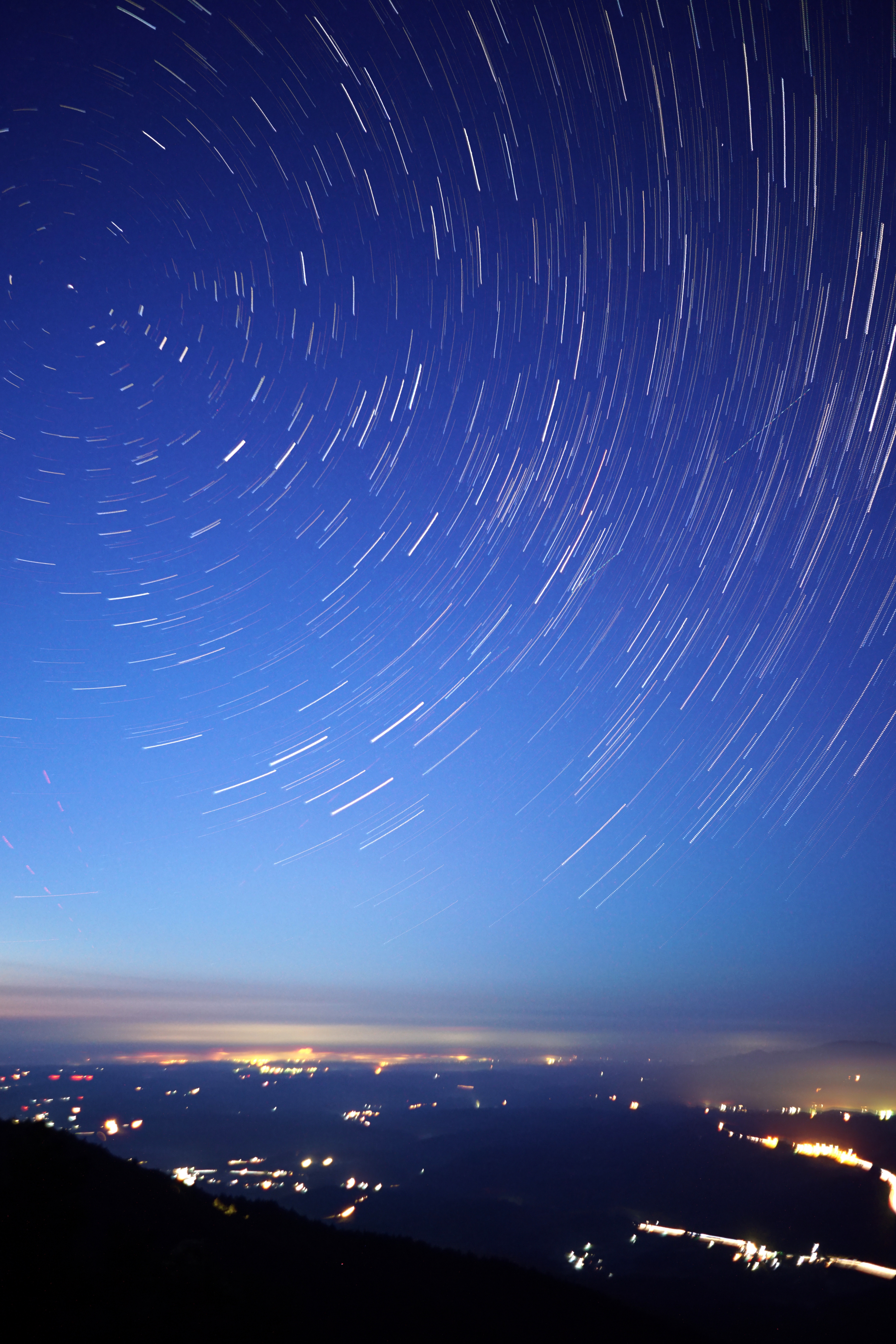
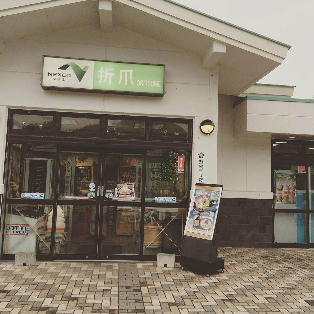
折爪星景 Star trails on Mt.Oritsume
Road to...
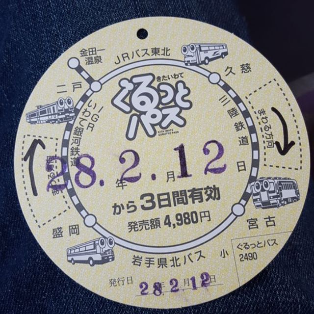
結局、これも買っちゃったw

ミニ天丼セット

とりあえず、ひるめし
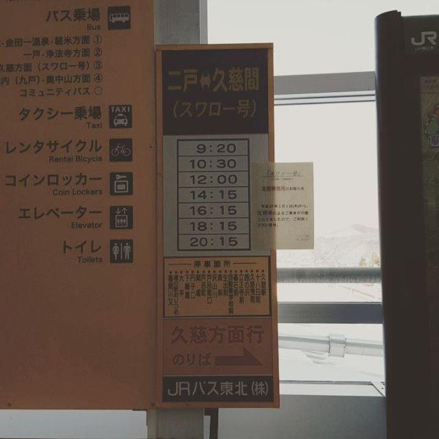
次はバス
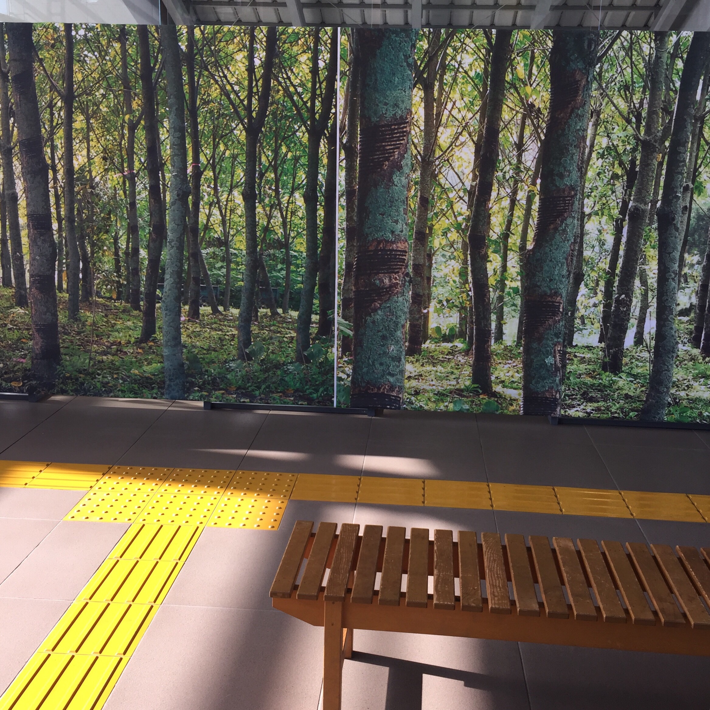
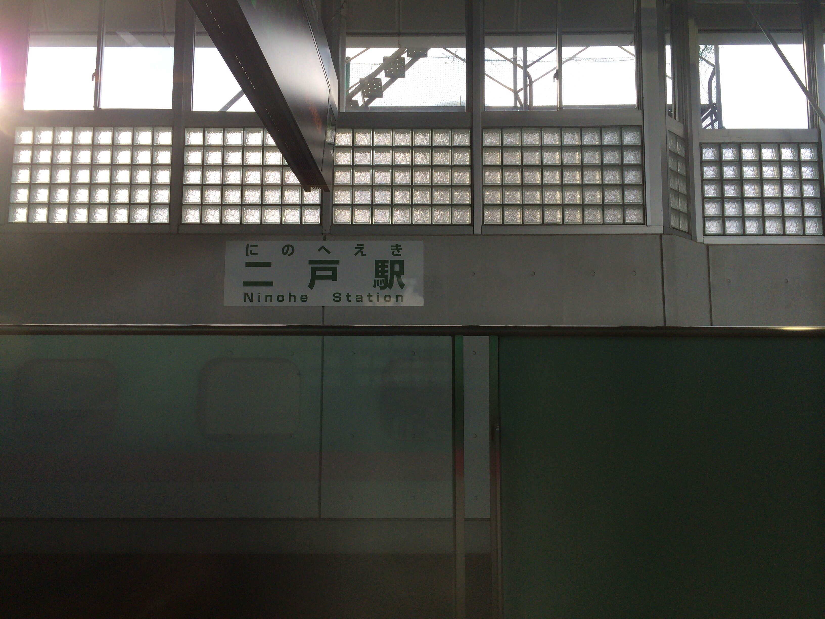
二戸駅
移動中

ラパン
二戸到着
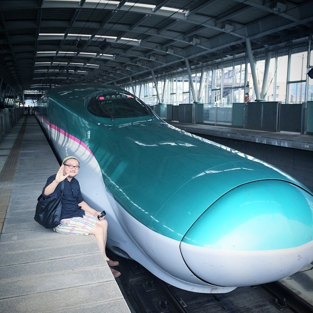
暇なのではやぶさとツーショット
Topographic Map of Kunohe, Kunohe District, Iwate Prefecture, Japan
Find elevation by address:

Places in Kunohe, Kunohe District, Iwate Prefecture, Japan:
Dai 6 Chiwari-51 Ibonai, Kunohe-mura, Kunohe-gun, Iwate-ken -, Japan
Dai 19 Chiwari- Toda, Kunohe-mura, Kunohe-gun, Iwate-ken -, Japan
Places near Kunohe, Kunohe District, Iwate Prefecture, Japan:
Dai 6 Chiwari-51 Ibonai, Kunohe-mura, Kunohe-gun, Iwate-ken -, Japan
Dai 19 Chiwari- Toda, Kunohe-mura, Kunohe-gun, Iwate-ken -, Japan
Karumai
Ichinohe
Dai 8 Chiwari--5 Karumai, Karumai-machi, Kunohe-gun, Iwate-ken -, Japan
Ninohe
Uenoyama-23 Horino, Ninohe-shi, Iwate-ken -, Japan
Ninohe District
Kunohe District
Dai 15 Chiwari-21 Kuzumaki, Kuzumaki-machi, Iwate-gun, Iwate-ken -, Japan
Kuzumaki
Shinden-37 Mega, Ichinohe-machi, Ninohe-gun, Iwate-ken -, Japan
Hirono
Shironoshita Umenai
Sannohe Castle
Sannohe
Dai 58 Chiwari-12- Ōno, Hirono-chō, Kunohe-gun, Iwate-ken -, Japan
Sannohe District
Sawada-16 Tonai, Sannohe-machi, Sannohe-gun, Aomori-ken -, Japan
Takkozawa-14 Korekawa, Hachinohe-shi, Aomori-ken -, Japan
Recent Searches:
- Elevation of Elwyn Dr, Roanoke Rapids, NC, USA
- Elevation of Congressional Dr, Stevensville, MD, USA
- Elevation of Bellview Rd, McLean, VA, USA
- Elevation of Stage Island Rd, Chatham, MA, USA
- Elevation of Shibuya Scramble Crossing, 21 Udagawacho, Shibuya City, Tokyo -, Japan
- Elevation of Jadagoniai, Kaunas District Municipality, Lithuania
- Elevation of Pagonija rock, Kranto 7-oji g. 8"N, Kaunas, Lithuania
- Elevation of Co Rd 87, Jamestown, CO, USA
- Elevation of Tenjo, Cundinamarca, Colombia
- Elevation of Côte-des-Neiges, Montreal, QC H4A 3J6, Canada