Elevation of Dai 8 Chiwari--5 Karumai, Karumai-machi, Kunohe-gun, Iwate-ken -, Japan
Location: Japan > Iwate Prefecture > Kunohe District > Karumai >
Longitude: 141.459721
Latitude: 40.3319865
Elevation: 162m / 531feet
Barometric Pressure: 99KPa
Elevation Map:
Satellite Map:
Related Photos:
シャガ

01-02
住友金属鉱業 八戸石灰鉱山
八戸キャニオン
山の楽校
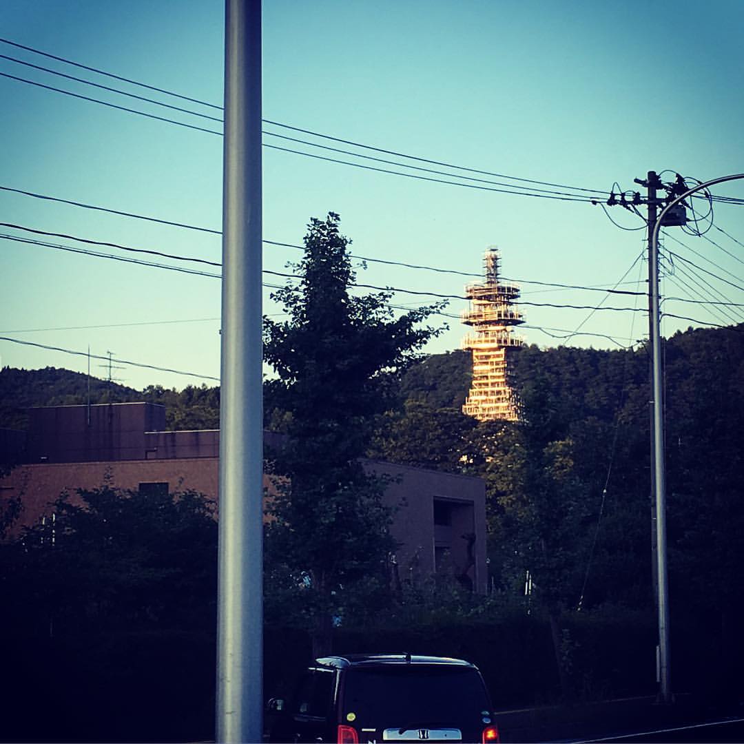
すごい建物が建ってる。
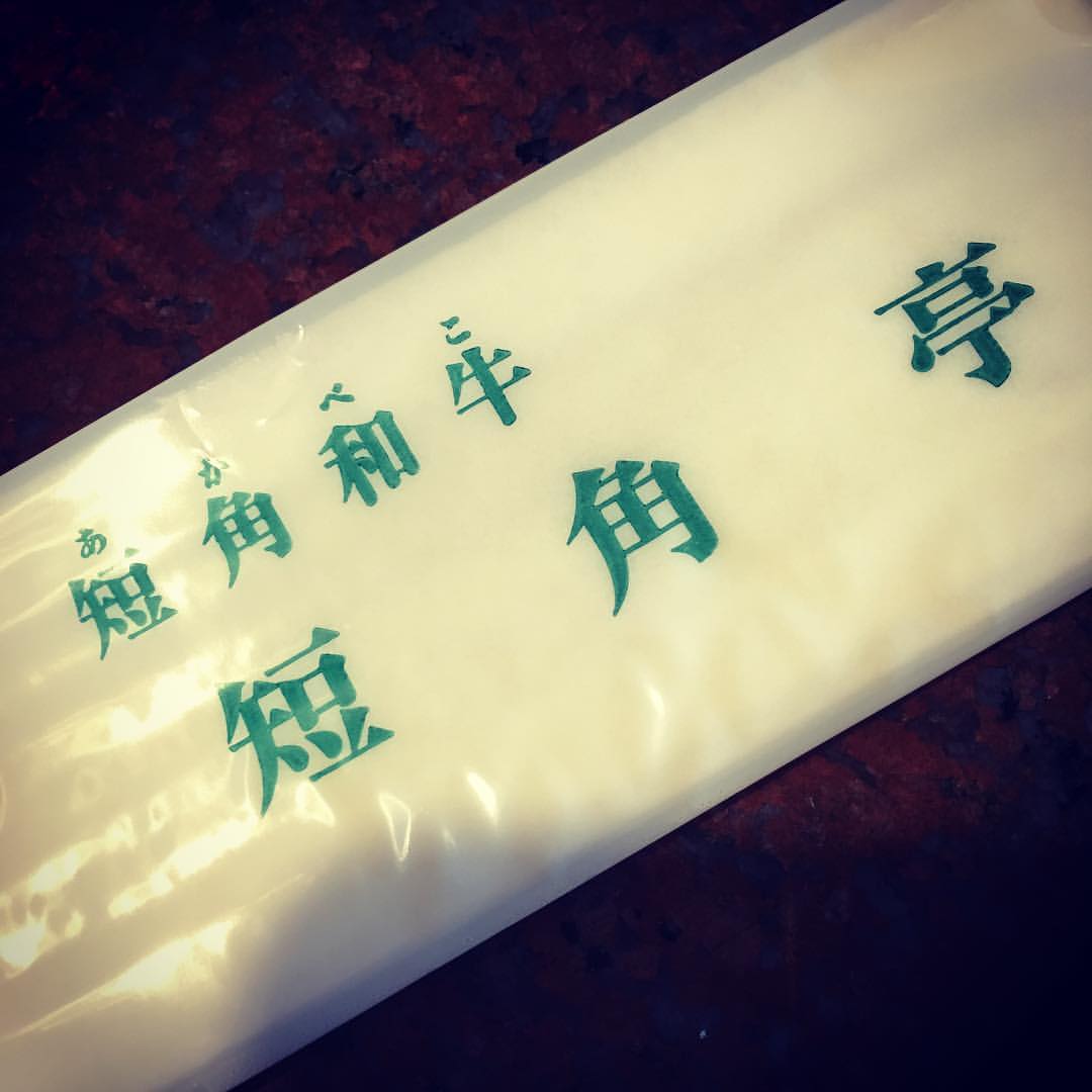
短角和牛をいただきに来ましたっ! (^_^)/

キリの花
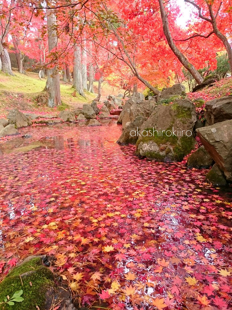
紅く染まる
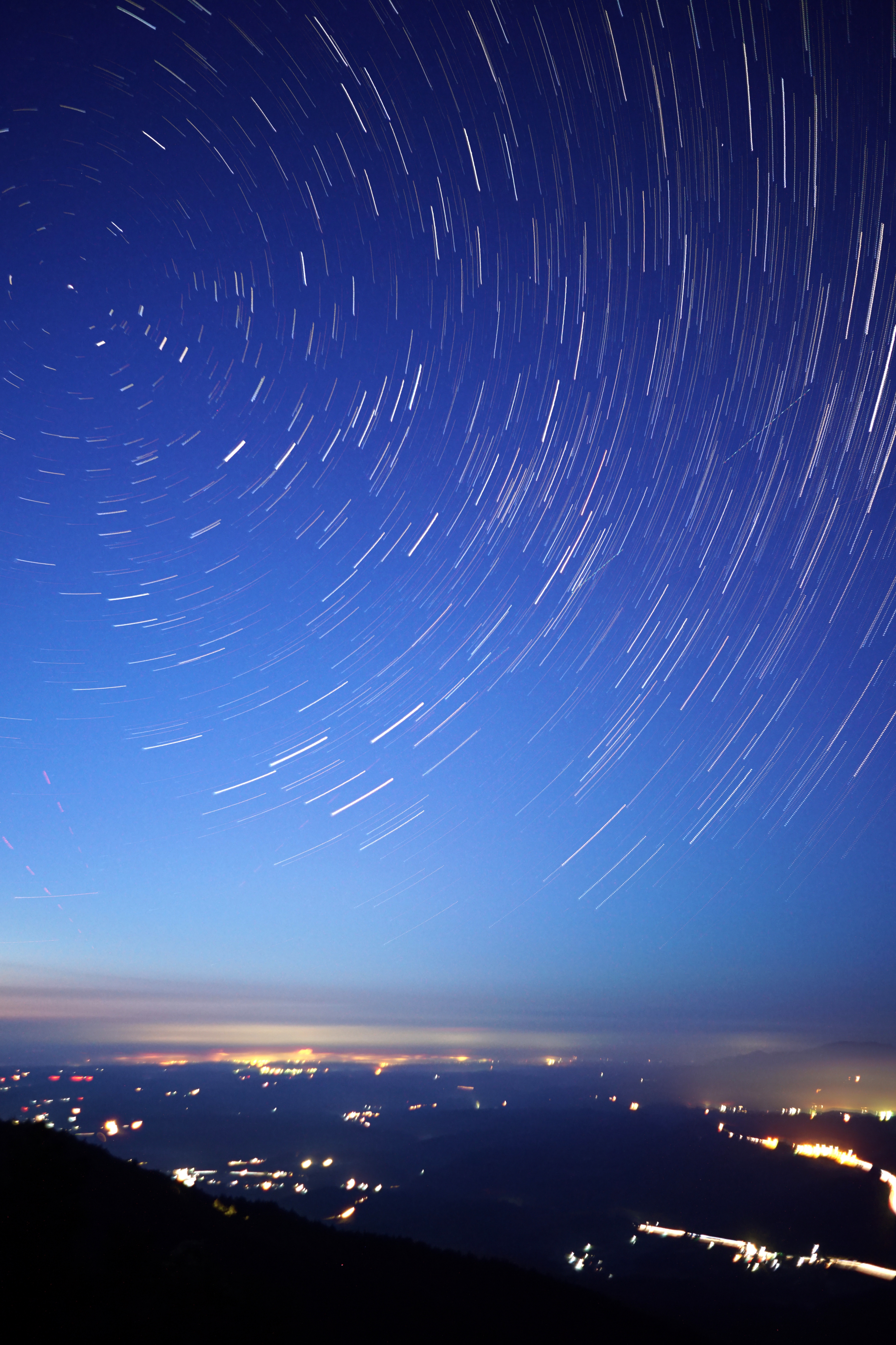
折爪星景 Star trails on Mt.Oritsume

茶室
待合
隠れもみじスポット
カッコーの森エコーランド
Buckwheat field

そば・ひまわりの花見週間
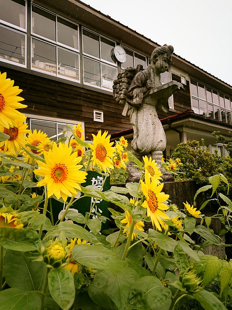
山の楽校
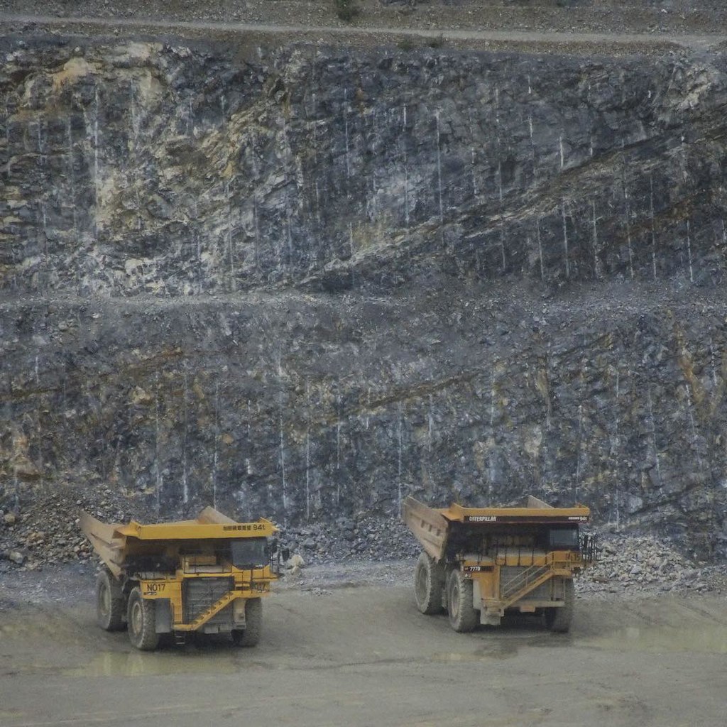
日本にこんな露天掘りがあるとは
移動中
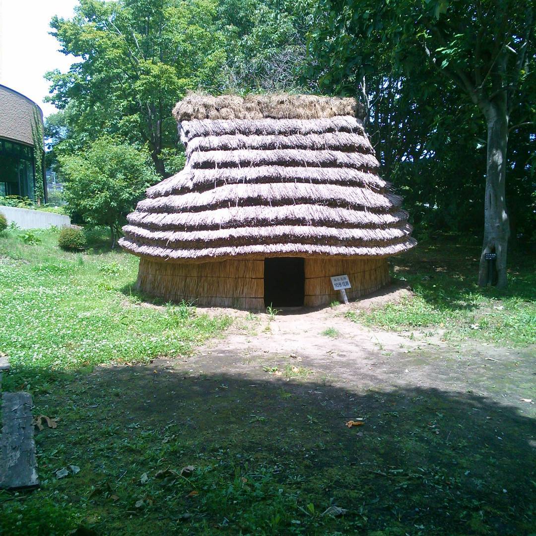
16号住居
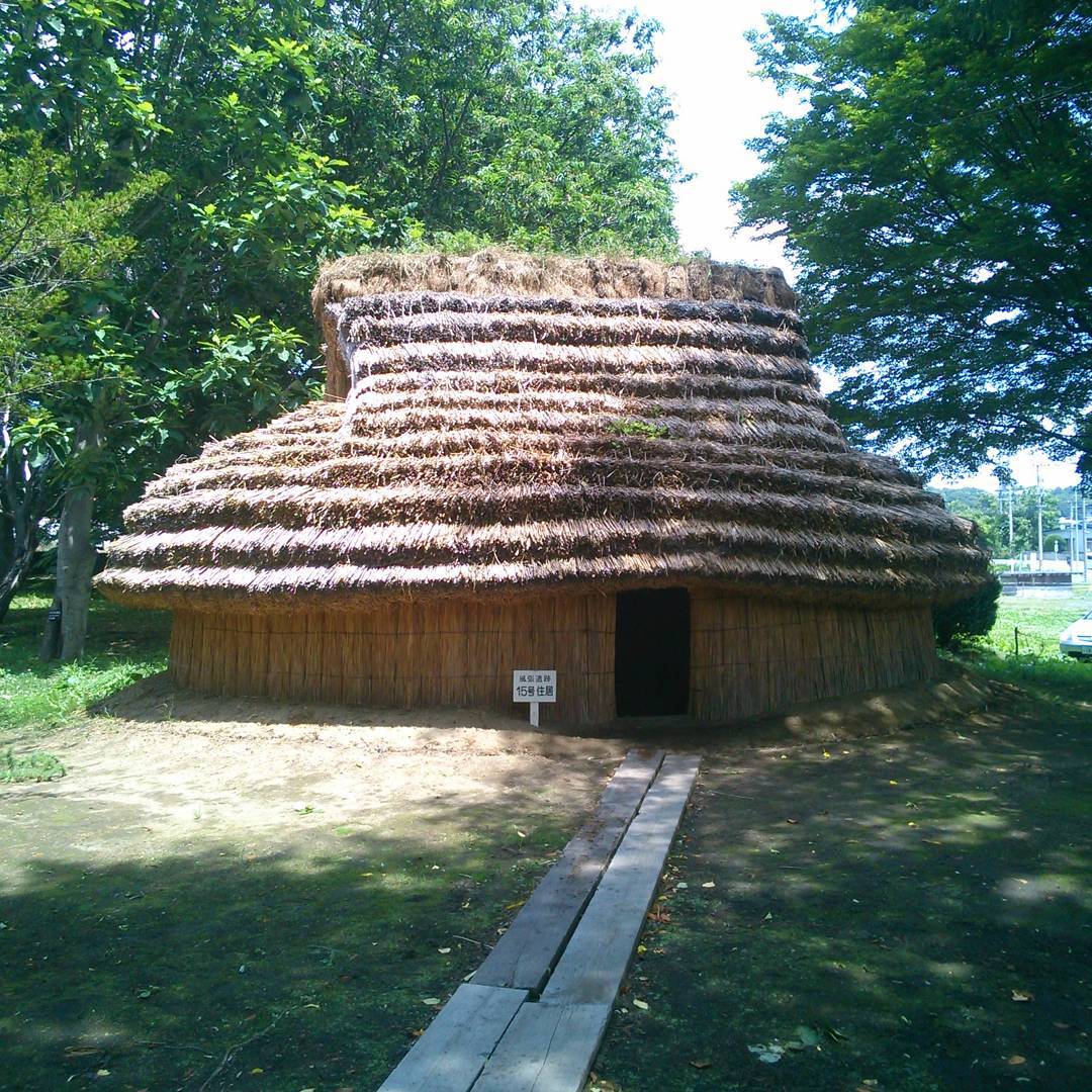
15号住居

ラパン
蔦サロンでの熊野さんのお話会
Topographic Map of Dai 8 Chiwari--5 Karumai, Karumai-machi, Kunohe-gun, Iwate-ken -, Japan
Find elevation by address:

Places near Dai 8 Chiwari--5 Karumai, Karumai-machi, Kunohe-gun, Iwate-ken -, Japan:
Karumai
Kunohe District
Kunohe
Dai 6 Chiwari-51 Ibonai, Kunohe-mura, Kunohe-gun, Iwate-ken -, Japan
Takkozawa-14 Korekawa, Hachinohe-shi, Aomori-ken -, Japan
Uenoyama-23 Horino, Ninohe-shi, Iwate-ken -, Japan
Gyōnin-17 Toyabe, Hashikami-chō, Sannohe-gun, Aomori-ken -, Japan
Ninohe
Hirono
Sannohe District
Hachinohe
Dai 19 Chiwari- Toda, Kunohe-mura, Kunohe-gun, Iwate-ken -, Japan
Shironoshita Umenai
Hashikami
Sannohe Castle
Ichinohe
Dai 58 Chiwari-12- Ōno, Hirono-chō, Kunohe-gun, Iwate-ken -, Japan
Sannohe
Same-56 Samemachi, Hachinohe-shi, Aomori-ken -, Japan
Onibatai-11 Samemachi, Hachinohe-shi, Aomori-ken -, Japan
Recent Searches:
- Elevation of 30 Oak Lawn Dr, Barkhamsted, CT, USA
- Elevation of Luther Road, Luther Rd, Auburn, CA, USA
- Elevation of Unnamed Road, Respublika Severnaya Osetiya — Alaniya, Russia
- Elevation of Verkhny Fiagdon, North Ossetia–Alania Republic, Russia
- Elevation of F. Viola Hiway, San Rafael, Bulacan, Philippines
- Elevation of Herbage Dr, Gulfport, MS, USA
- Elevation of Lilac Cir, Haldimand, ON N3W 2G9, Canada
- Elevation of Harrod Branch Road, Harrod Branch Rd, Kentucky, USA
- Elevation of Wyndham Grand Barbados Sam Lords Castle All Inclusive Resort, End of Belair Road, Long Bay, Bridgetown Barbados
- Elevation of Iga Trl, Maggie Valley, NC, USA