Elevation of Sannohe District, Aomori Prefecture, Japan
Location: Japan > Aomori Prefecture >
Longitude: 141.321389
Latitude: 40.436944
Elevation: 114m / 374feet
Barometric Pressure: 100KPa
Elevation Map:
Satellite Map:
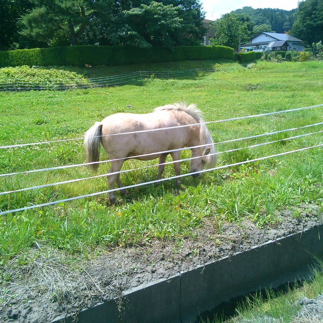
Related Photos:

Tunnel Vision
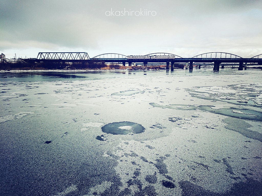
凍てつく川
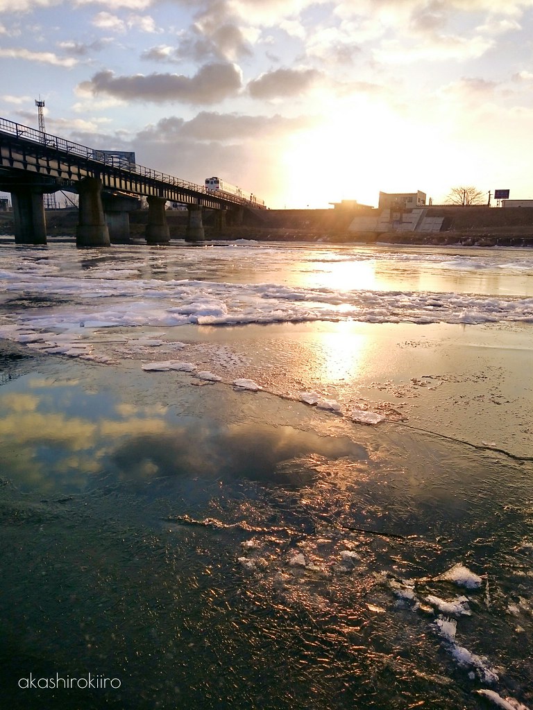
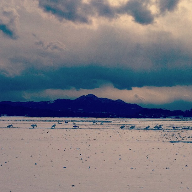
Frozen river

Frozen river
山の楽校
アカツメクサの咲く頃に

エンゴサク
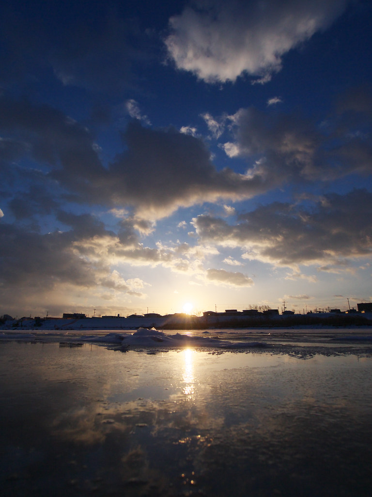
Frozen river
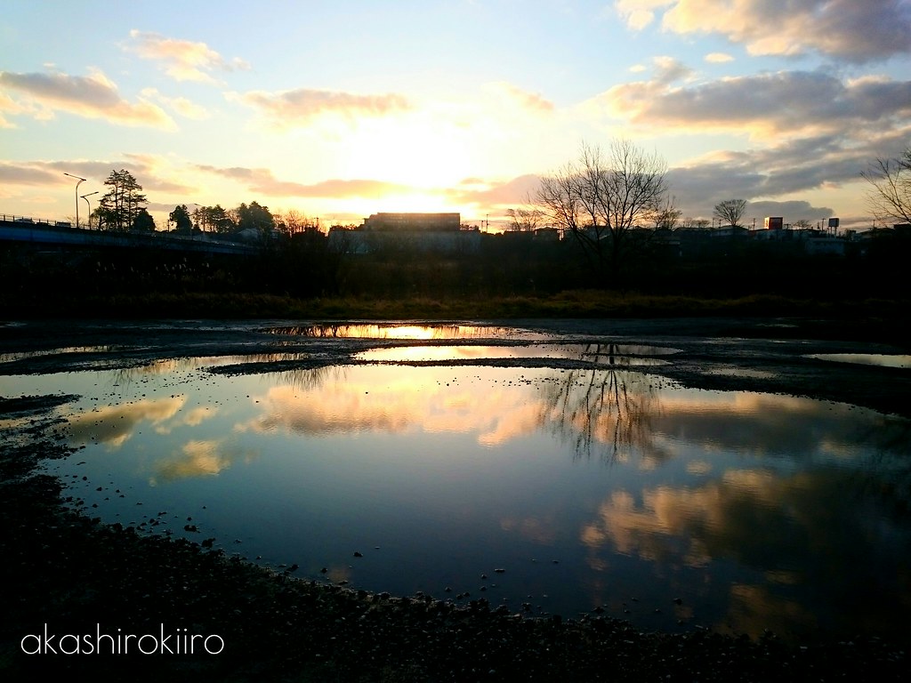
大きな水溜まり
near Shiriuchi, , Japan
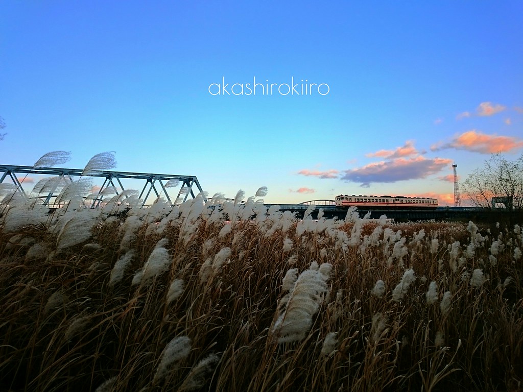
秋列車

01-02

Google camera

青森ツーリング
February 2012

青森ツーリング

青森ツーリング

青森ツーリング

青森ツーリング
白馬
Topographic Map of Sannohe District, Aomori Prefecture, Japan
Find elevation by address:

Places in Sannohe District, Aomori Prefecture, Japan:
Places near Sannohe District, Aomori Prefecture, Japan:
Shironoshita Umenai
Sannohe Castle
Sannohe
Gonohe
58 Shimoniida, Gonohe-machi, Sannohe-gun, Aomori-ken -, Japan
Sawada-16 Tonai, Sannohe-machi, Sannohe-gun, Aomori-ken -, Japan
Uenoyama-23 Horino, Ninohe-shi, Iwate-ken -, Japan
Herai
Shingo
Takkozawa-14 Korekawa, Hachinohe-shi, Aomori-ken -, Japan
Ninohe
Maeyachi-26 Inuotose, Rokunohe-machi, Kamikita-gun, Aomori-ken -, Japan
Rokunohe
Dai 8 Chiwari--5 Karumai, Karumai-machi, Kunohe-gun, Iwate-ken -, Japan
Karumai
Hachinohe
Takko
Towada
Ichinohe
Ishinashizaka Herai
Recent Searches:
- Elevation of Corso Fratelli Cairoli, 35, Macerata MC, Italy
- Elevation of Tallevast Rd, Sarasota, FL, USA
- Elevation of 4th St E, Sonoma, CA, USA
- Elevation of Black Hollow Rd, Pennsdale, PA, USA
- Elevation of Oakland Ave, Williamsport, PA, USA
- Elevation of Pedrógão Grande, Portugal
- Elevation of Klee Dr, Martinsburg, WV, USA
- Elevation of Via Roma, Pieranica CR, Italy
- Elevation of Tavkvetili Mountain, Georgia
- Elevation of Hartfords Bluff Cir, Mt Pleasant, SC, USA