Elevation of Towada, Aomori Prefecture, Japan
Location: Japan > Aomori Prefecture >
Longitude: 141.205907
Latitude: 40.612703
Elevation: 72m / 236feet
Barometric Pressure: 100KPa
Elevation Map:
Satellite Map:
Related Photos:

Our view on the way home #jets #flightline

Tunnel Vision
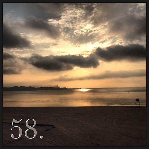
58. Beautiful views on the way home from work.

After a long day, seeing this as my view on the way home was a lovely respite

Day 9: Your view today. The farmer's market had some amazing flowers

What A View
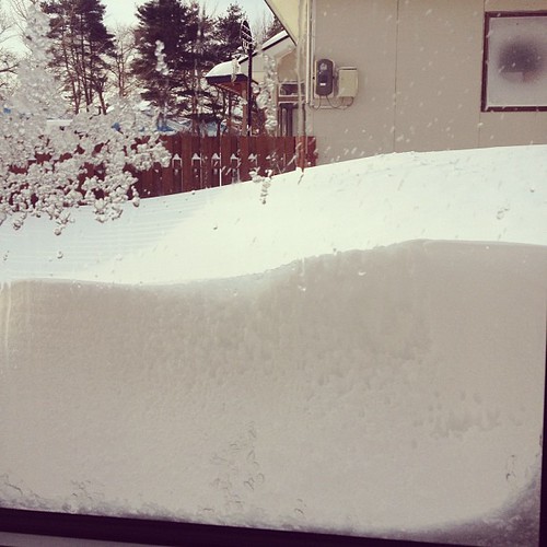
The view out our window. Got a ton of snow that reaches nearly to the top of the fence

DP2M3922.jpg

DP2M3926.jpg

DSC03551.jpg

PICT0698.jpg
DP2M3926.jpg
DP2M3922.jpg

DSC06258.jpg

DSC03546.jpg

PICT0377.jpg
Topographic Map of Towada, Aomori Prefecture, Japan
Find elevation by address:

Places in Towada, Aomori Prefecture, Japan:
Okuse
Towadakohannenokuchi- Okuse, Towada-shi, Aomori-ken -, Japan
Hiyamizu- Okuse, Towada-shi, Aomori-ken -, Japan
Lake Towada
Places near Towada, Aomori Prefecture, Japan:
Shichinohe
Rokunohe
Maeyachi-26 Inuotose, Rokunohe-machi, Kamikita-gun, Aomori-ken -, Japan
Tohoku
Gonohe
58 Shimoniida, Gonohe-machi, Sannohe-gun, Aomori-ken -, Japan
Herai
Shingo
Hiyamizu- Okuse, Towada-shi, Aomori-ken -, Japan
87 Ichounoki, Shichinohe-machi, Kamikita-gun, Aomori-ken -, Japan
Kamikita District
Misawa
Ishinashizaka Herai
Ishinashizaka-16 Herai
Sannohe District
Tozaki-- Misawa, Misawa-shi, Aomori-ken -, Japan
Shironoshita Umenai
Sannohe Castle
Sannohe
Sawada-16 Tonai, Sannohe-machi, Sannohe-gun, Aomori-ken -, Japan
Recent Searches:
- Elevation of Gateway Blvd SE, Canton, OH, USA
- Elevation of East W.T. Harris Boulevard, E W.T. Harris Blvd, Charlotte, NC, USA
- Elevation of West Sugar Creek, Charlotte, NC, USA
- Elevation of Wayland, NY, USA
- Elevation of Steadfast Ct, Daphne, AL, USA
- Elevation of Lagasgasan, X+CQH, Tiaong, Quezon, Philippines
- Elevation of Rojo Ct, Atascadero, CA, USA
- Elevation of Flagstaff Drive, Flagstaff Dr, North Carolina, USA
- Elevation of Avery Ln, Lakeland, FL, USA
- Elevation of Woolwine, VA, USA