Elevation of Dai 23 Chiwari-27- Taneichi, Hirono-chō, Kunohe-gun, Iwate-ken -, Japan
Location: Japan > Iwate Prefecture > Kunohe District > Hirono >
Longitude: 141.715820
Latitude: 40.416033
Elevation: 12m / 39feet
Barometric Pressure: 101KPa
Elevation Map:
Satellite Map:
Related Photos:

Tanahashi Seaside -- Hachinohe, Japan
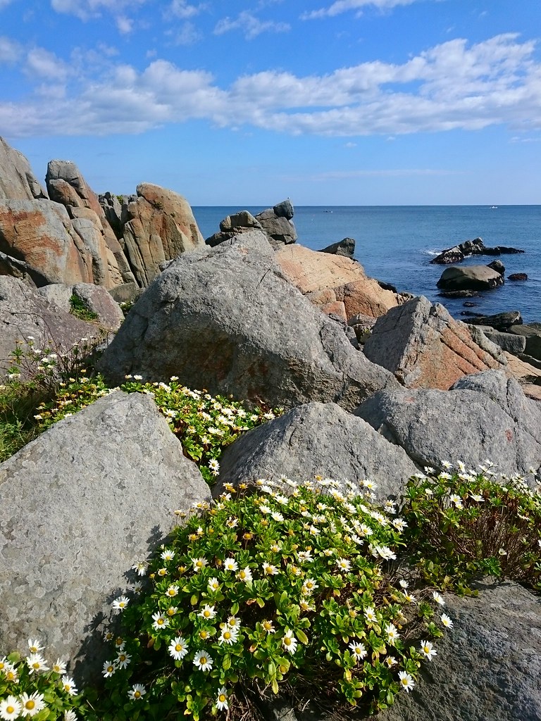
ハマギク

sunrise at taneichi beach
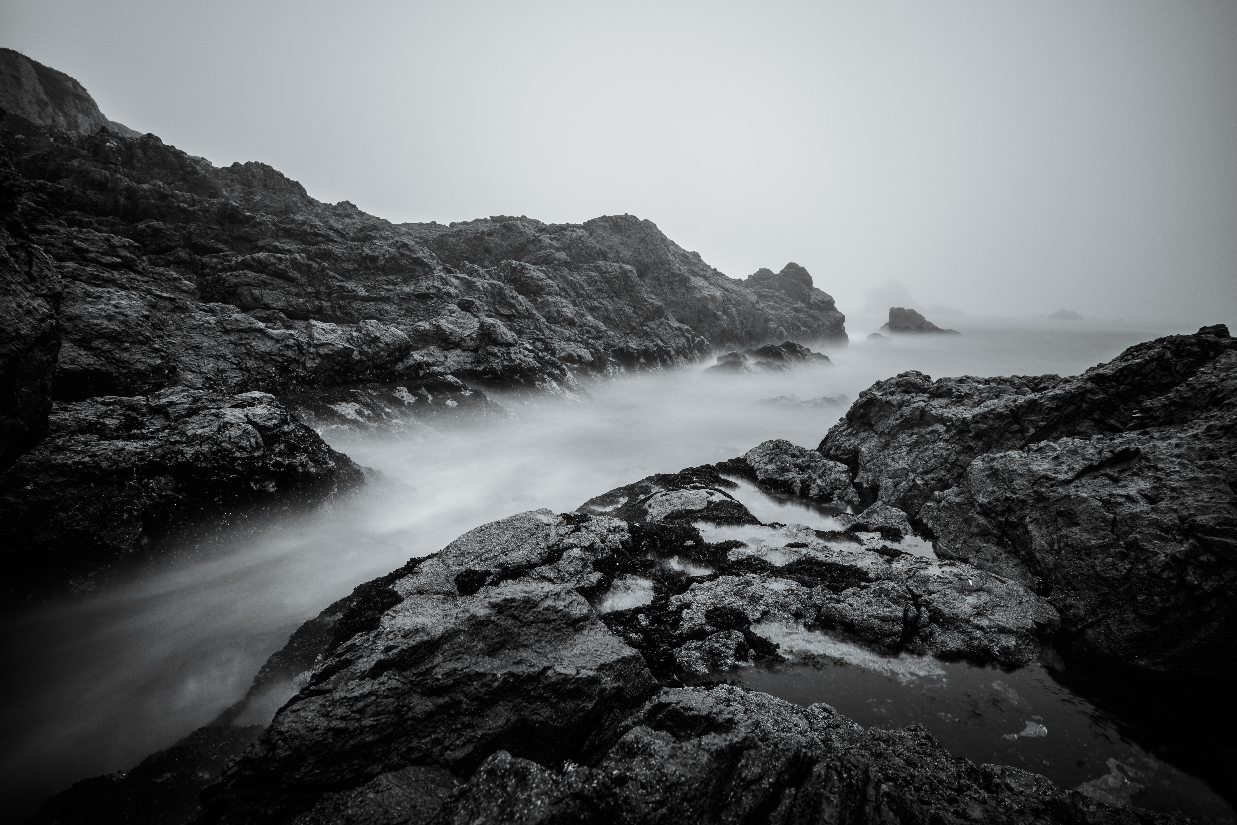
Foggy Morning 2
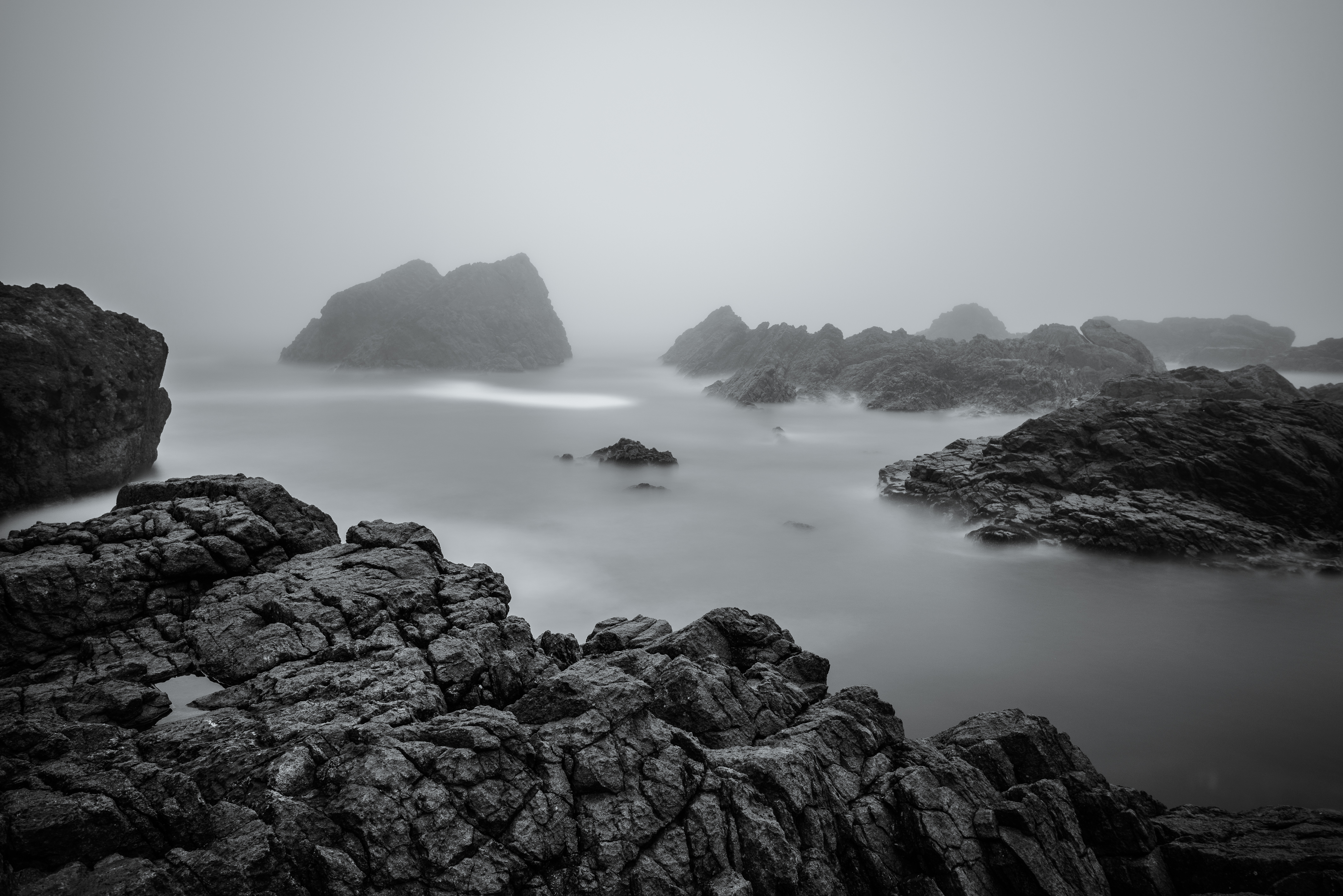
Foggy Morning 4

Foggy Morning 3
DSC_3895.JPG
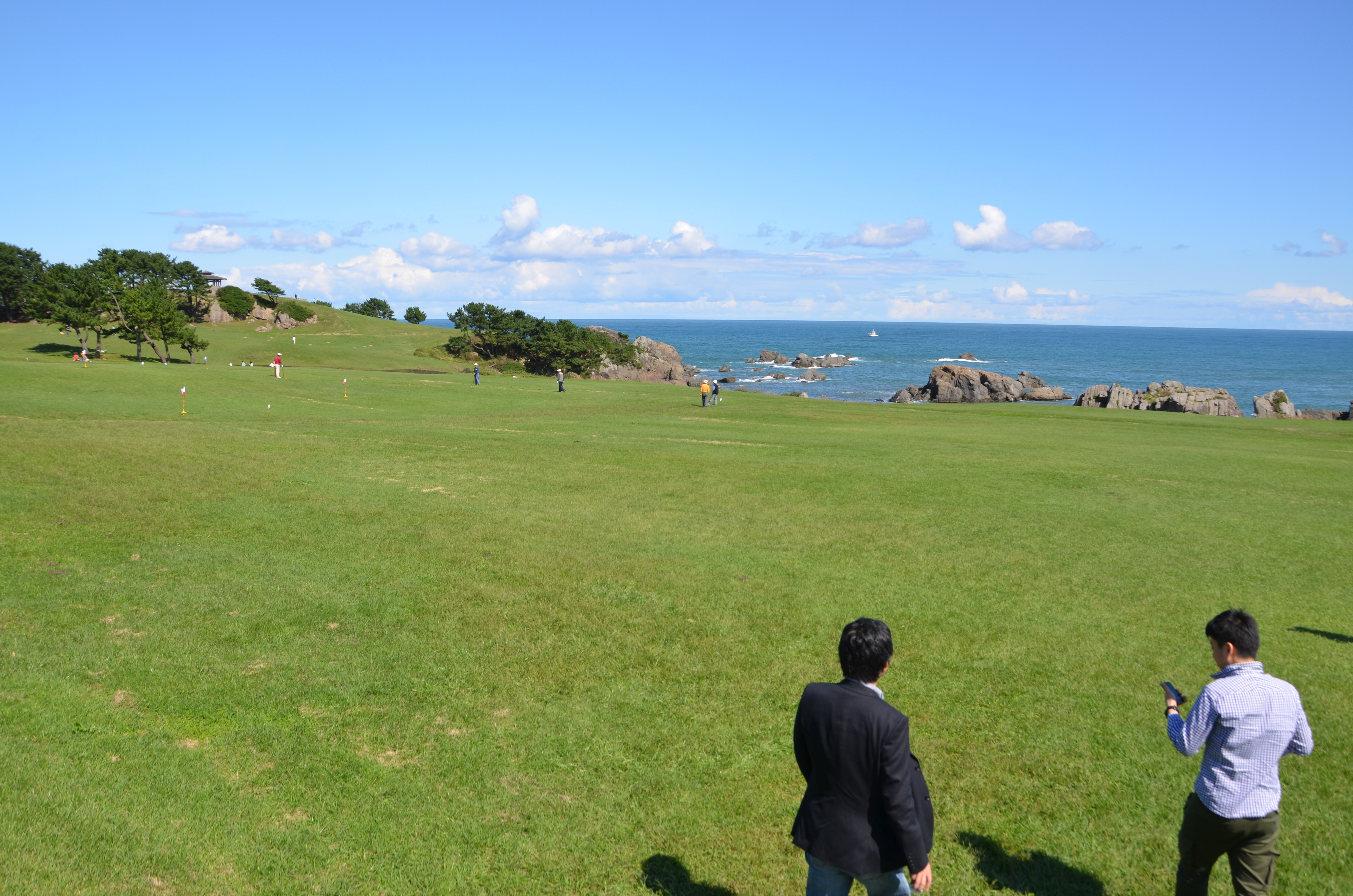
種差海岸ぶら歩201107- 5
DSC_3892.JPG
DSC_3894.JPG
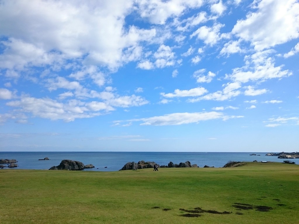
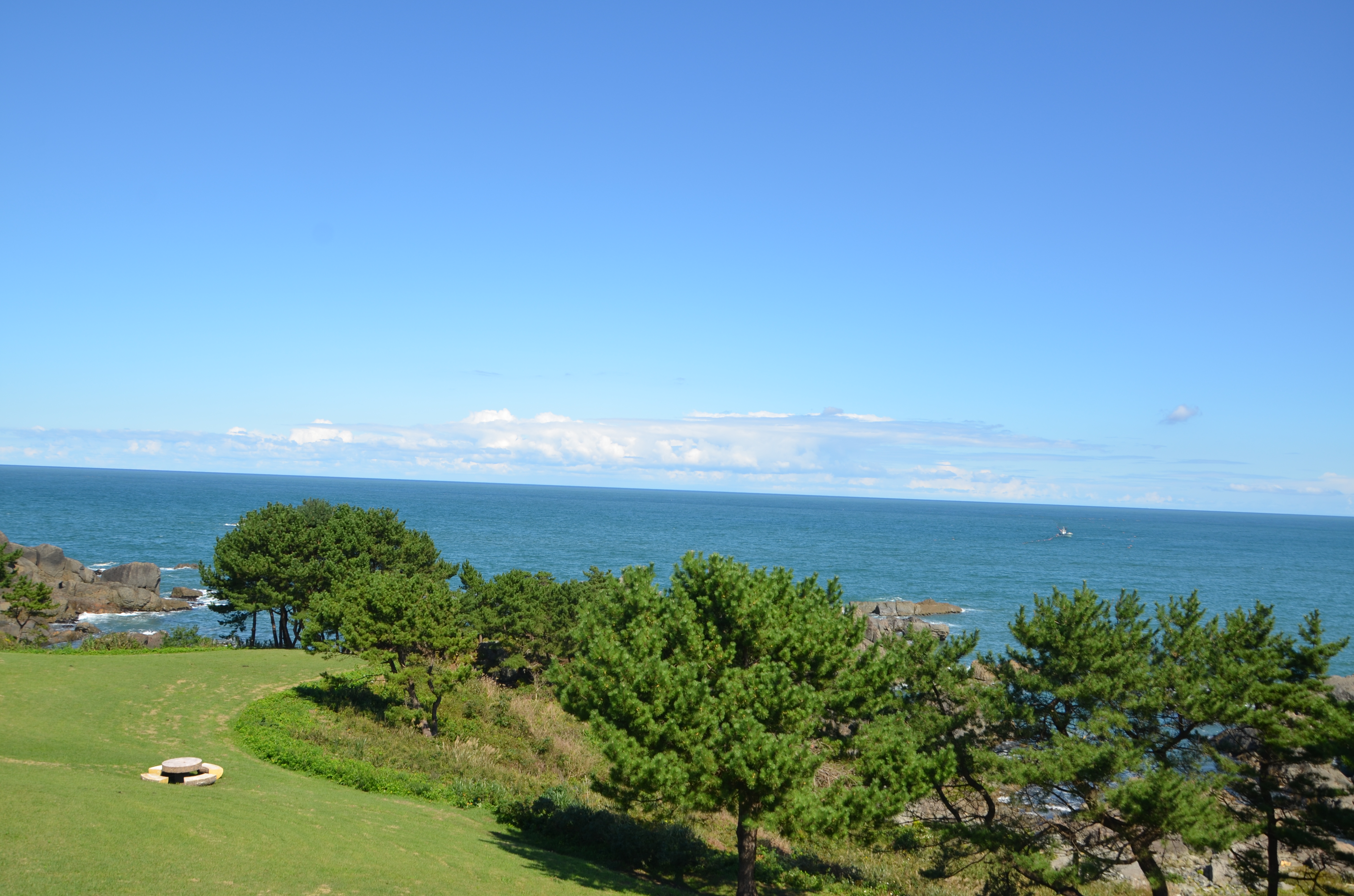
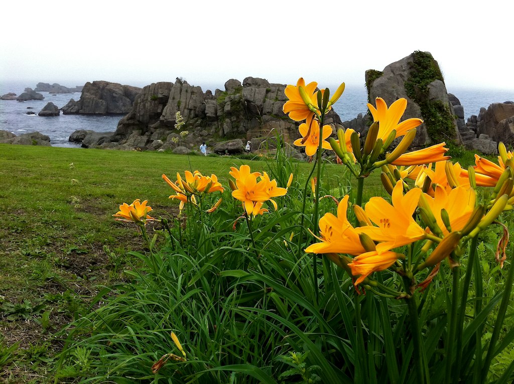
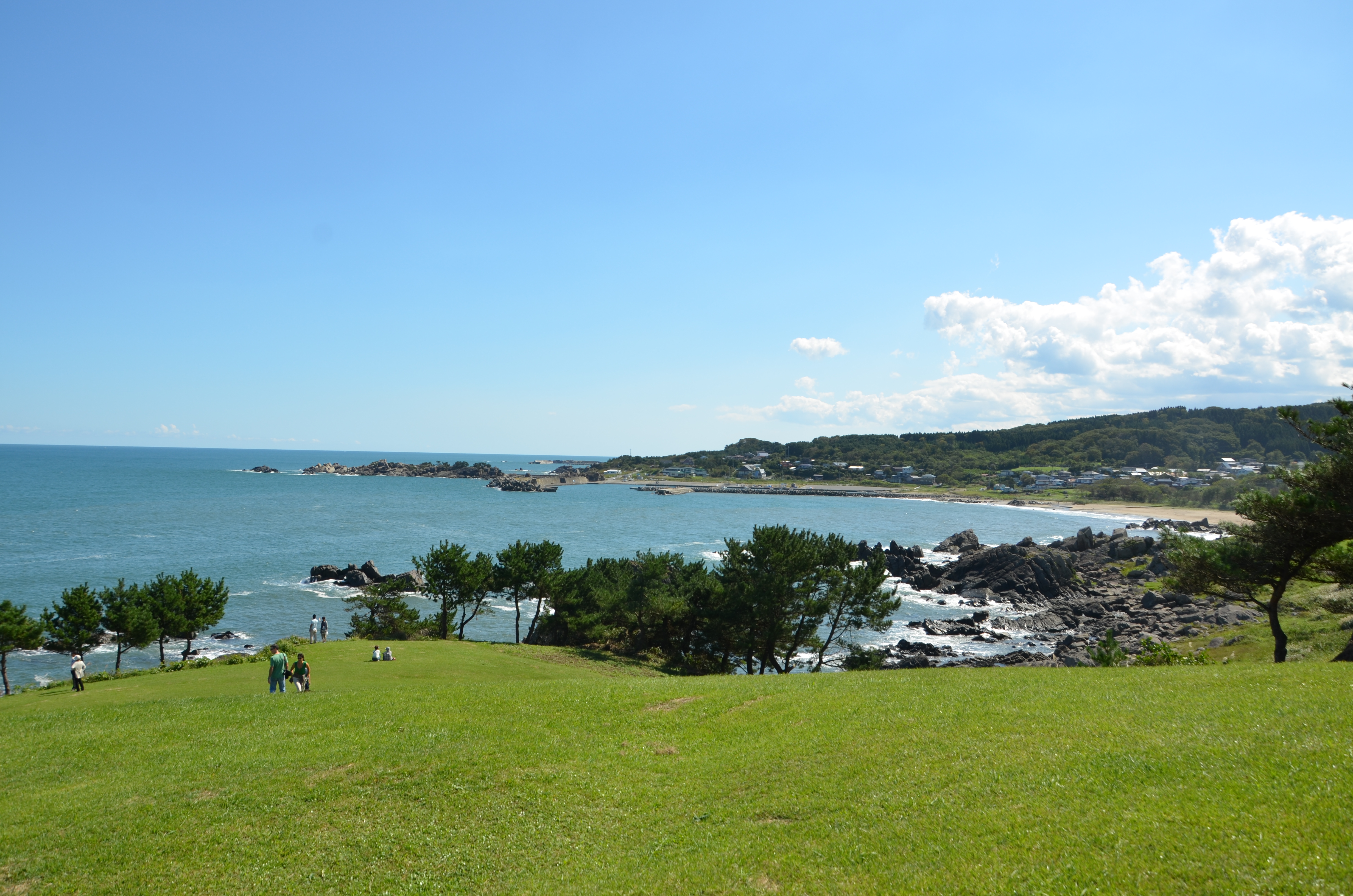
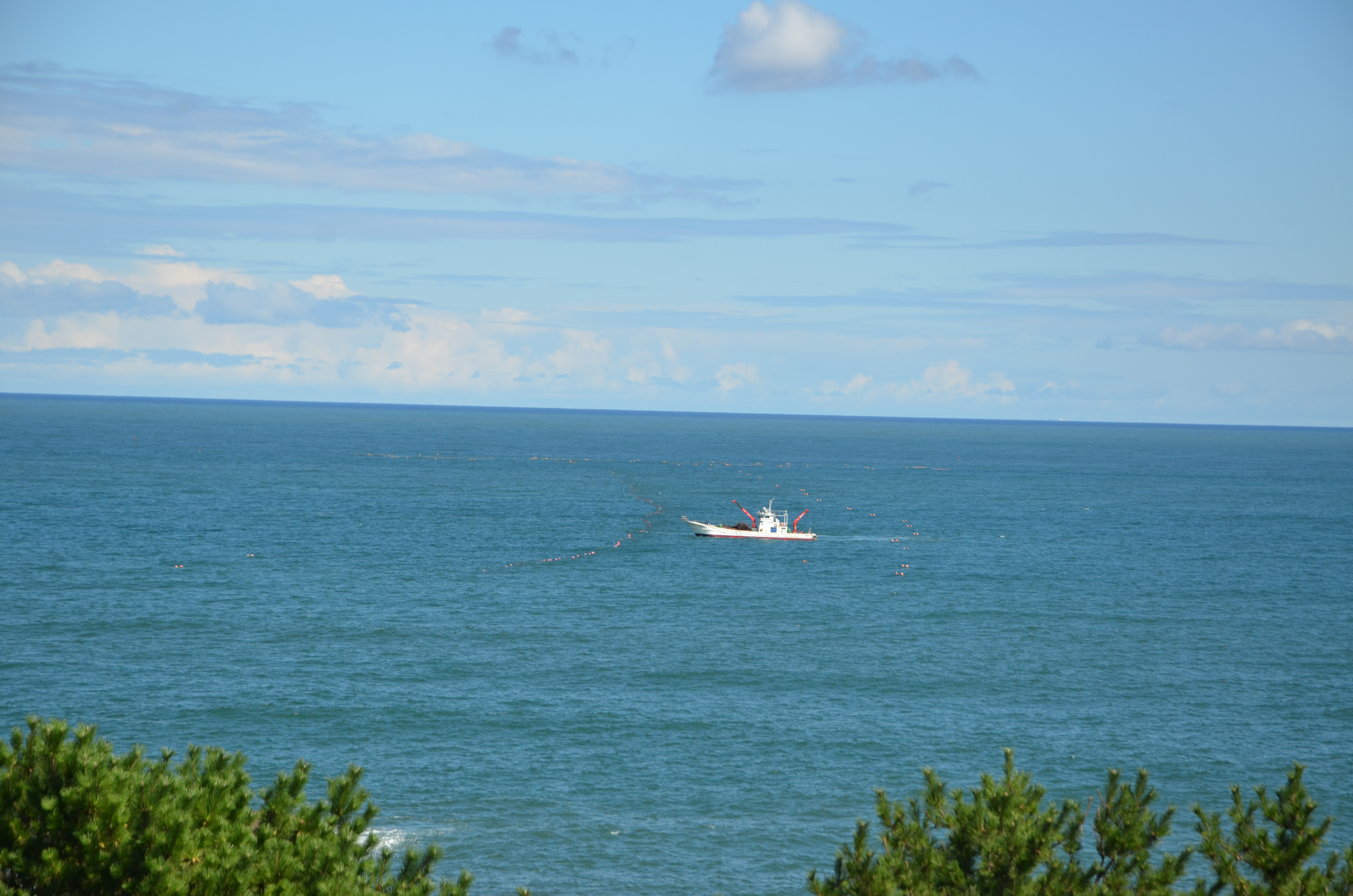
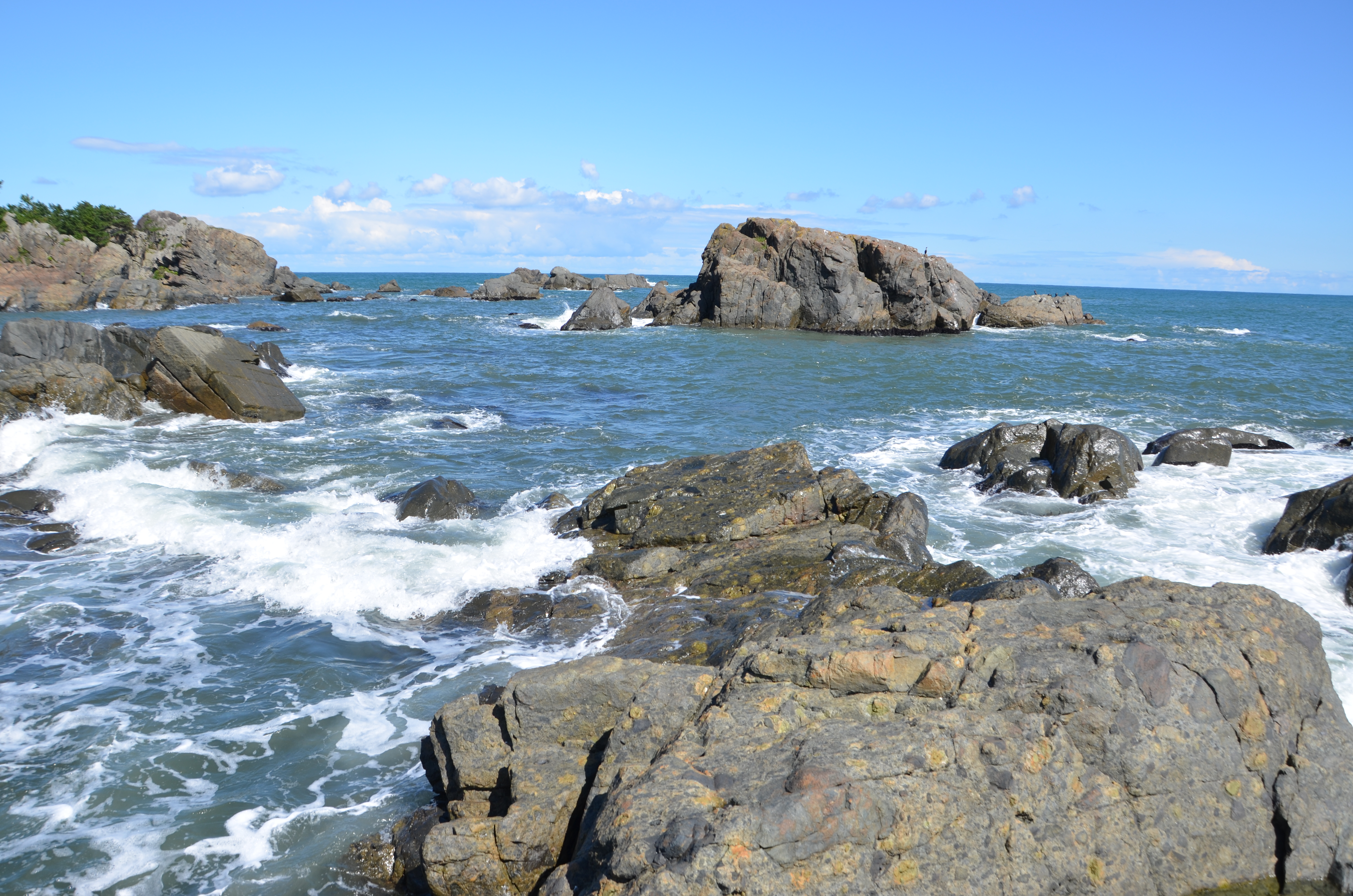
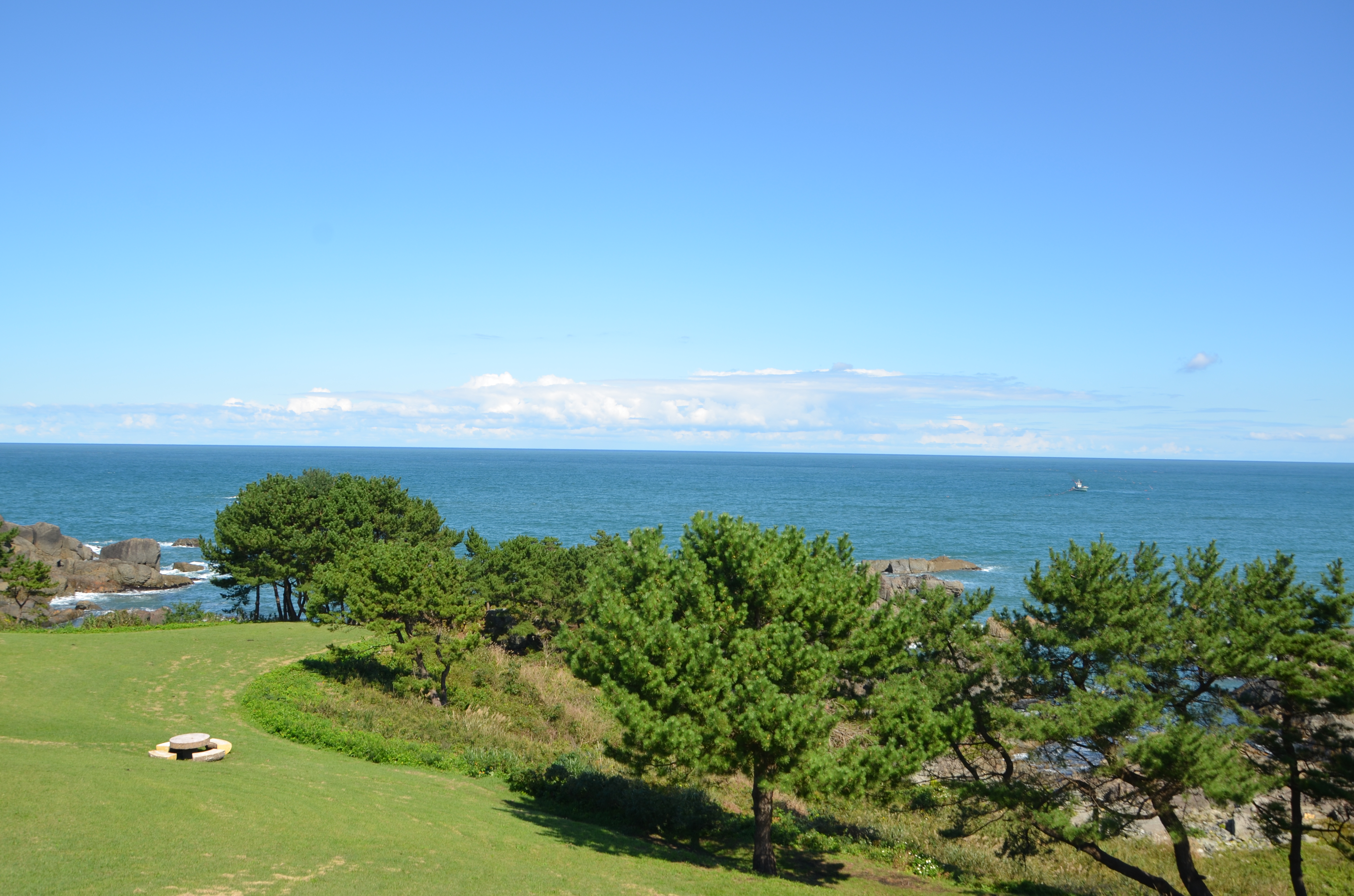
種差海岸
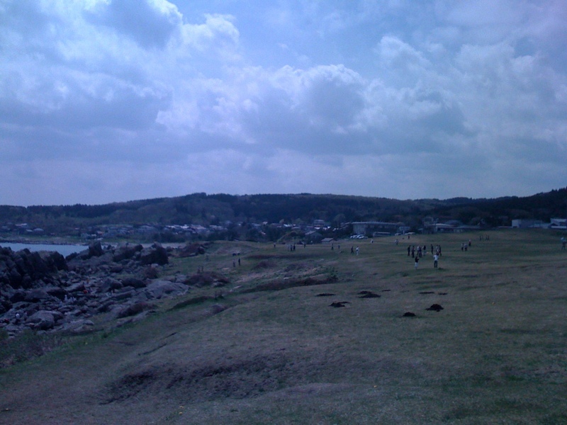
種差海岸
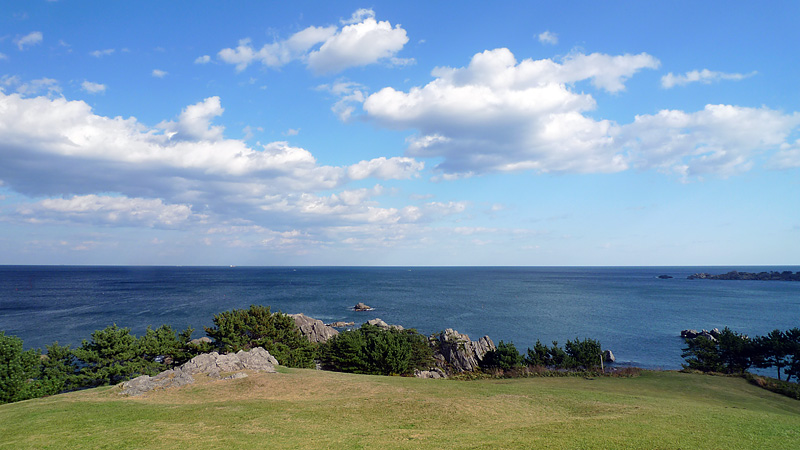
種差海岸
DSC_3885.JPG
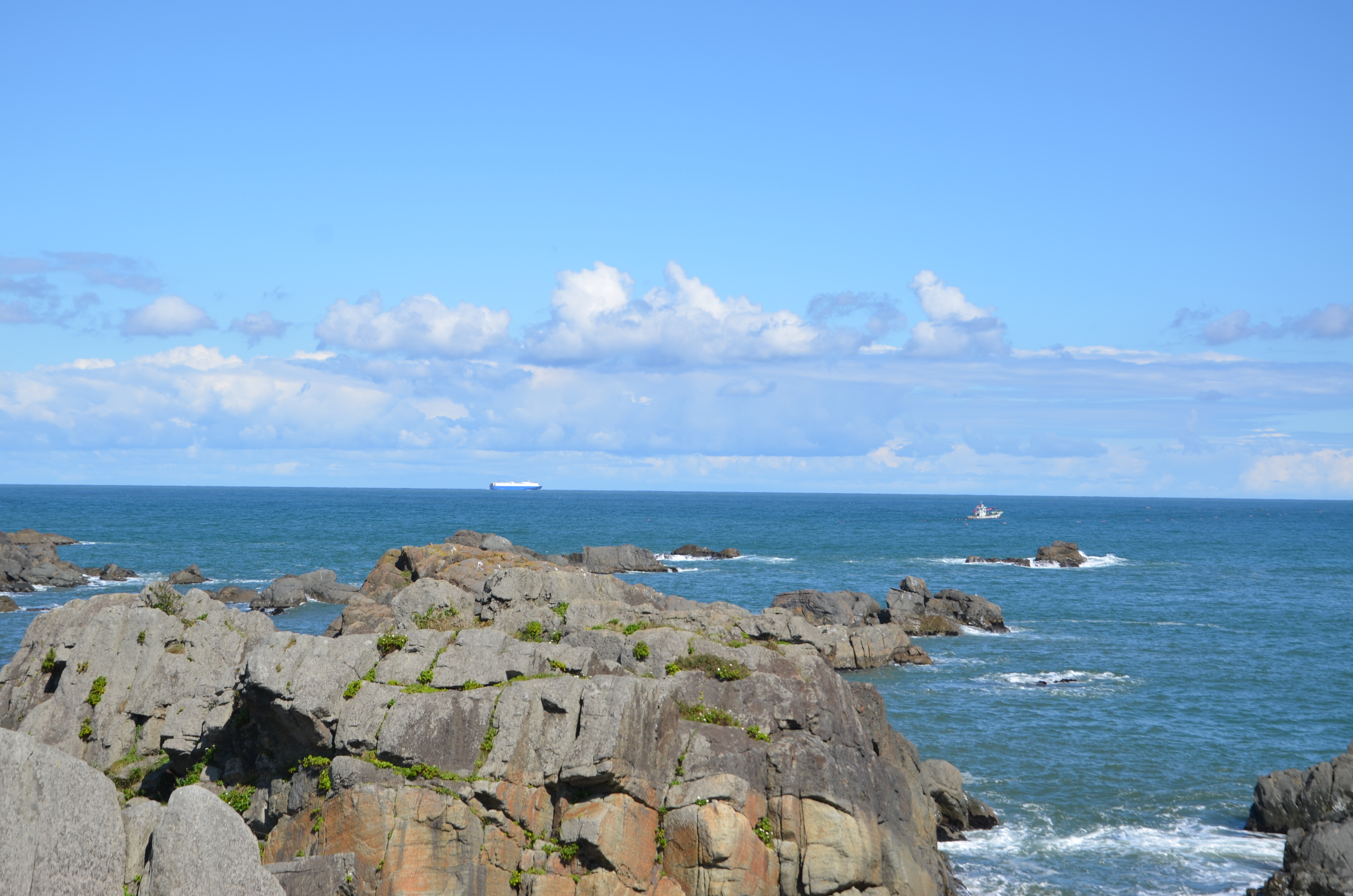
種差海岸
DSC_3896.JPG
DSC_3884.JPG
DSC_3875.JPG

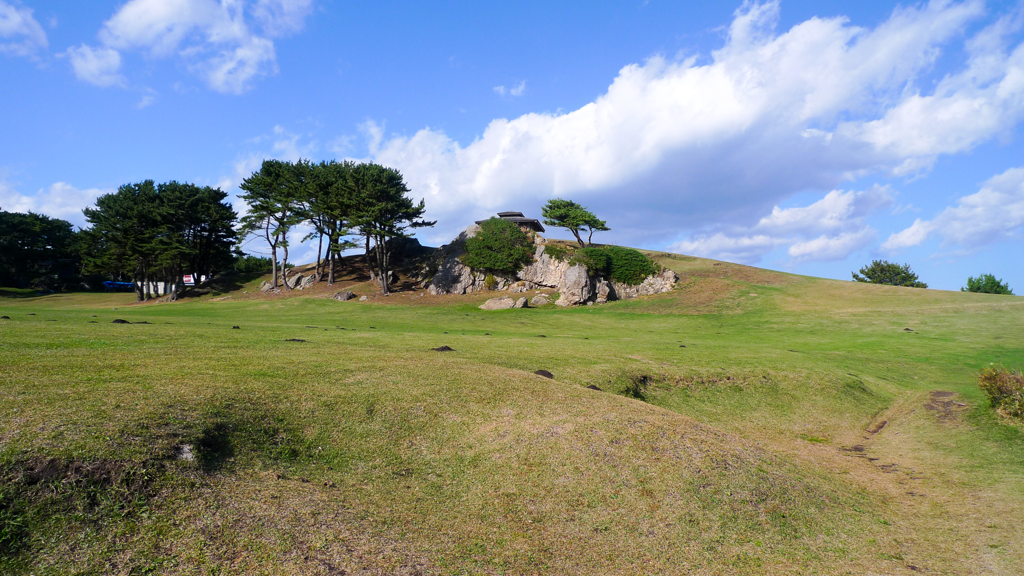
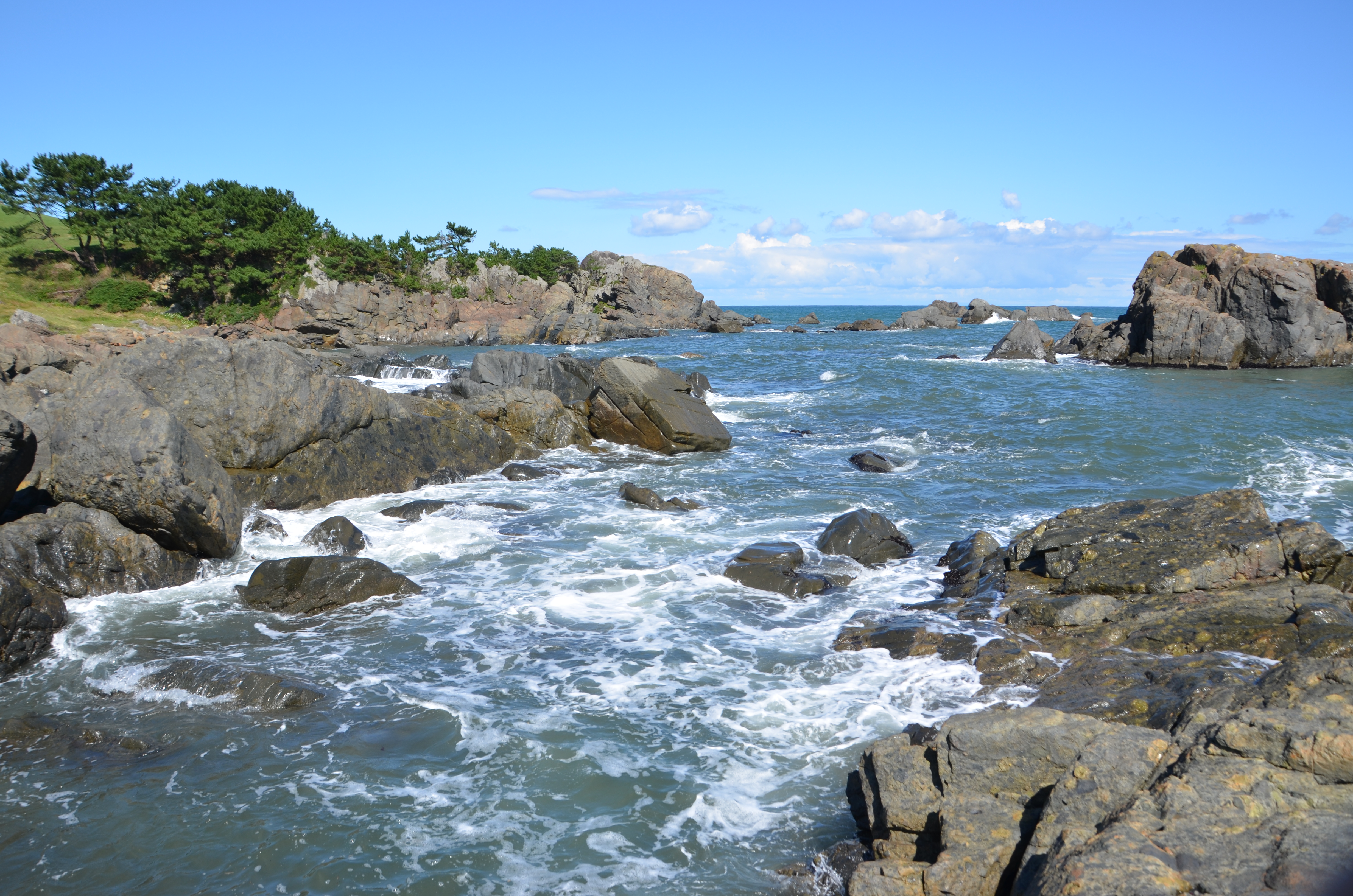
このあたりの風景を元に東山魁夷は『道』を描いた
DSC_3886.JPG
種差海岸

Shirahama Beach in Hachinohe, Japan
Topographic Map of Dai 23 Chiwari-27- Taneichi, Hirono-chō, Kunohe-gun, Iwate-ken -, Japan
Find elevation by address:

Places near Dai 23 Chiwari-27- Taneichi, Hirono-chō, Kunohe-gun, Iwate-ken -, Japan:
Hashikami
Onibatai-11 Samemachi, Hachinohe-shi, Aomori-ken -, Japan
Gyōnin-17 Toyabe, Hashikami-chō, Sannohe-gun, Aomori-ken -, Japan
Dai 58 Chiwari-12- Ōno, Hirono-chō, Kunohe-gun, Iwate-ken -, Japan
Hirono
Kunohe District
Same-56 Samemachi, Hachinohe-shi, Aomori-ken -, Japan
Kuji
Takkozawa-14 Korekawa, Hachinohe-shi, Aomori-ken -, Japan
Dai 25 Chiwari-33 Kokujichō, Kuji-shi, Iwate-ken -, Japan
Hachinohe
Dai 8 Chiwari--5 Karumai, Karumai-machi, Kunohe-gun, Iwate-ken -, Japan
Karumai
Noda
Dai 5 Chiwari-- Tamagawa, Noda-mura, Kunohe-gun, Iwate-ken -, Japan
Dai 8 Chiwari- Noda, Noda-mura, Kunohe-gun, Iwate-ken -, Japan
Dai 6 Chiwari-51 Ibonai, Kunohe-mura, Kunohe-gun, Iwate-ken -, Japan
Kunohe
Sannohe District
Dai 19 Chiwari- Toda, Kunohe-mura, Kunohe-gun, Iwate-ken -, Japan
Recent Searches:
- Elevation of 62 Abbey St, Marshfield, MA, USA
- Elevation of Fernwood, Bradenton, FL, USA
- Elevation of Felindre, Swansea SA5 7LU, UK
- Elevation of Leyte Industrial Development Estate, Isabel, Leyte, Philippines
- Elevation of W Granada St, Tampa, FL, USA
- Elevation of Pykes Down, Ivybridge PL21 0BY, UK
- Elevation of Jalan Senandin, Lutong, Miri, Sarawak, Malaysia
- Elevation of Bilohirs'k
- Elevation of 30 Oak Lawn Dr, Barkhamsted, CT, USA
- Elevation of Luther Road, Luther Rd, Auburn, CA, USA