Elevation of Shimohei District, Iwate Prefecture, Japan
Location: Japan > Iwate Prefecture >
Longitude: 141.783333
Latitude: 39.866667
Elevation: 206m / 676feet
Barometric Pressure: 99KPa
Elevation Map:
Satellite Map:
Related Photos:

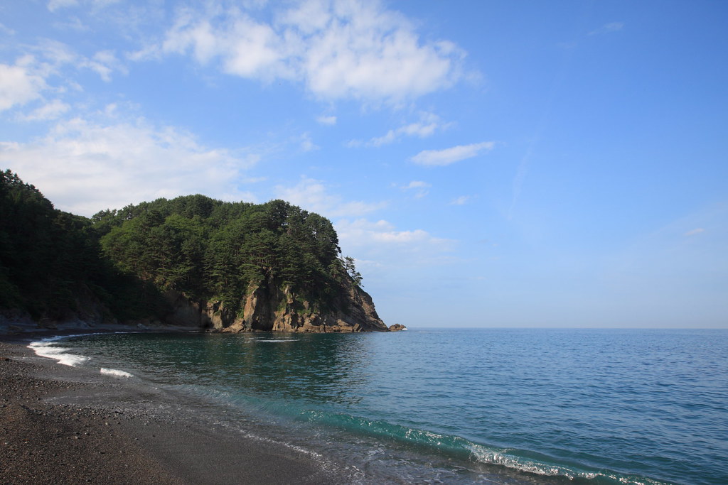
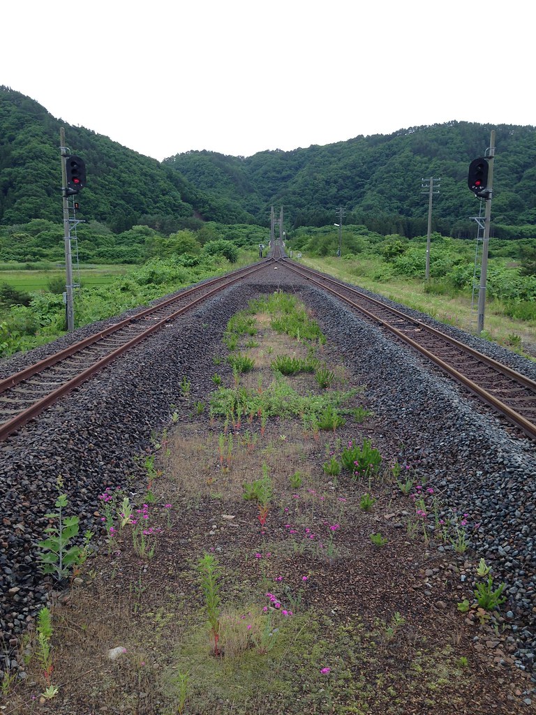
Rikuchu Kaigan Narional Park
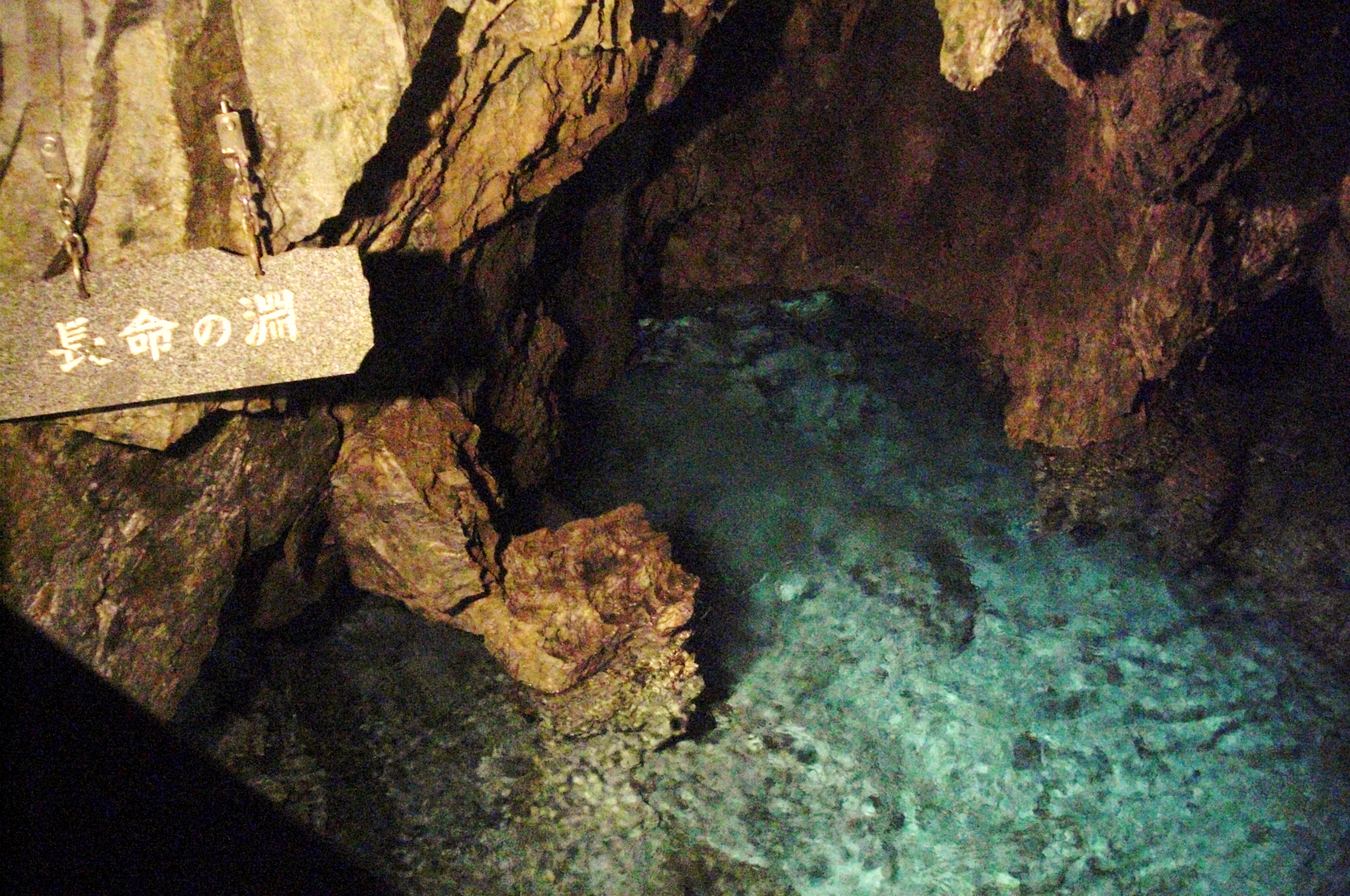
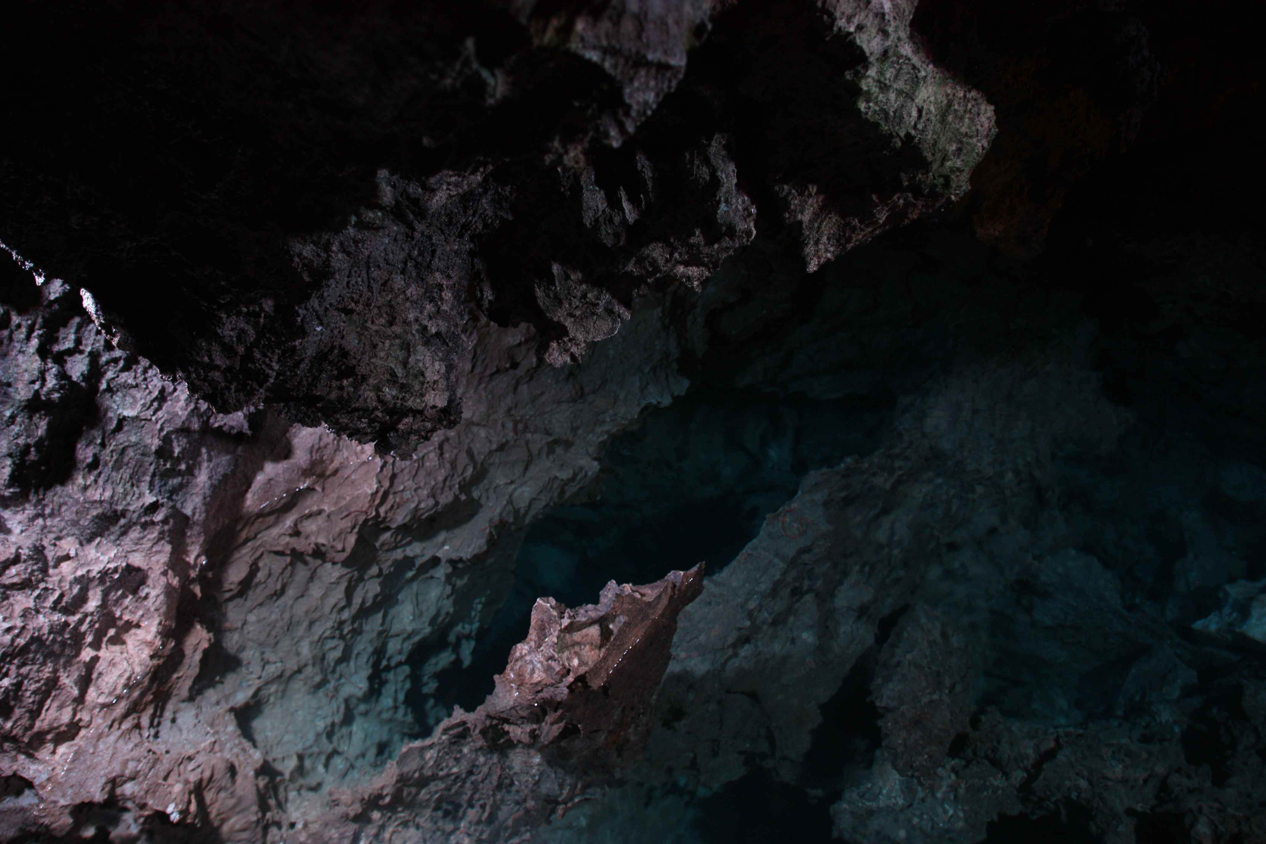
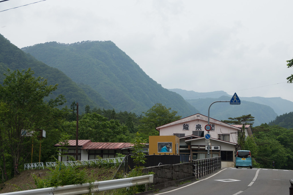
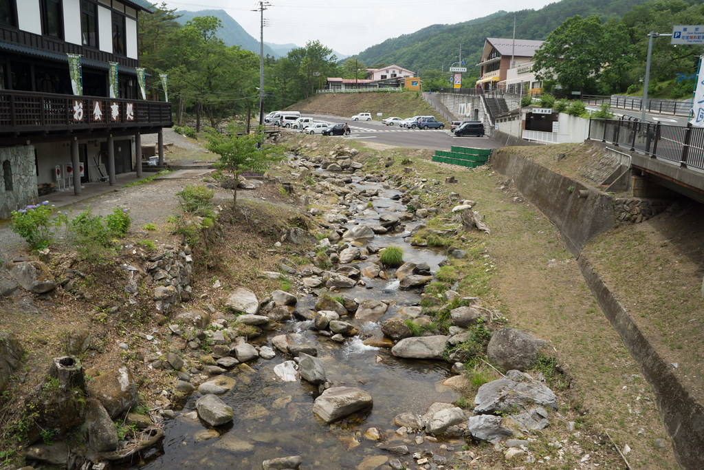
Ryusendo 龍泉洞
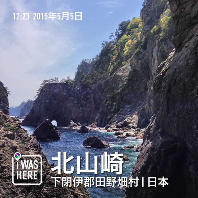
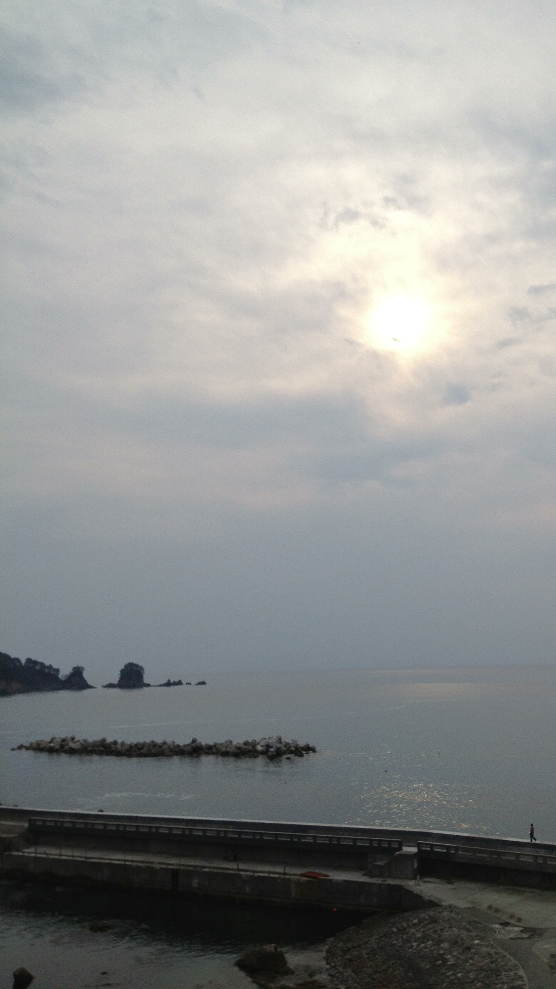
#北山崎 #outdoors #street #day

R0010452.JPG

今日の昼はお休みなのでGoproでも持って〜と思ったけれど、結構降ってるし、未だ時間じゃないのにおりて来てるぅ・・・。
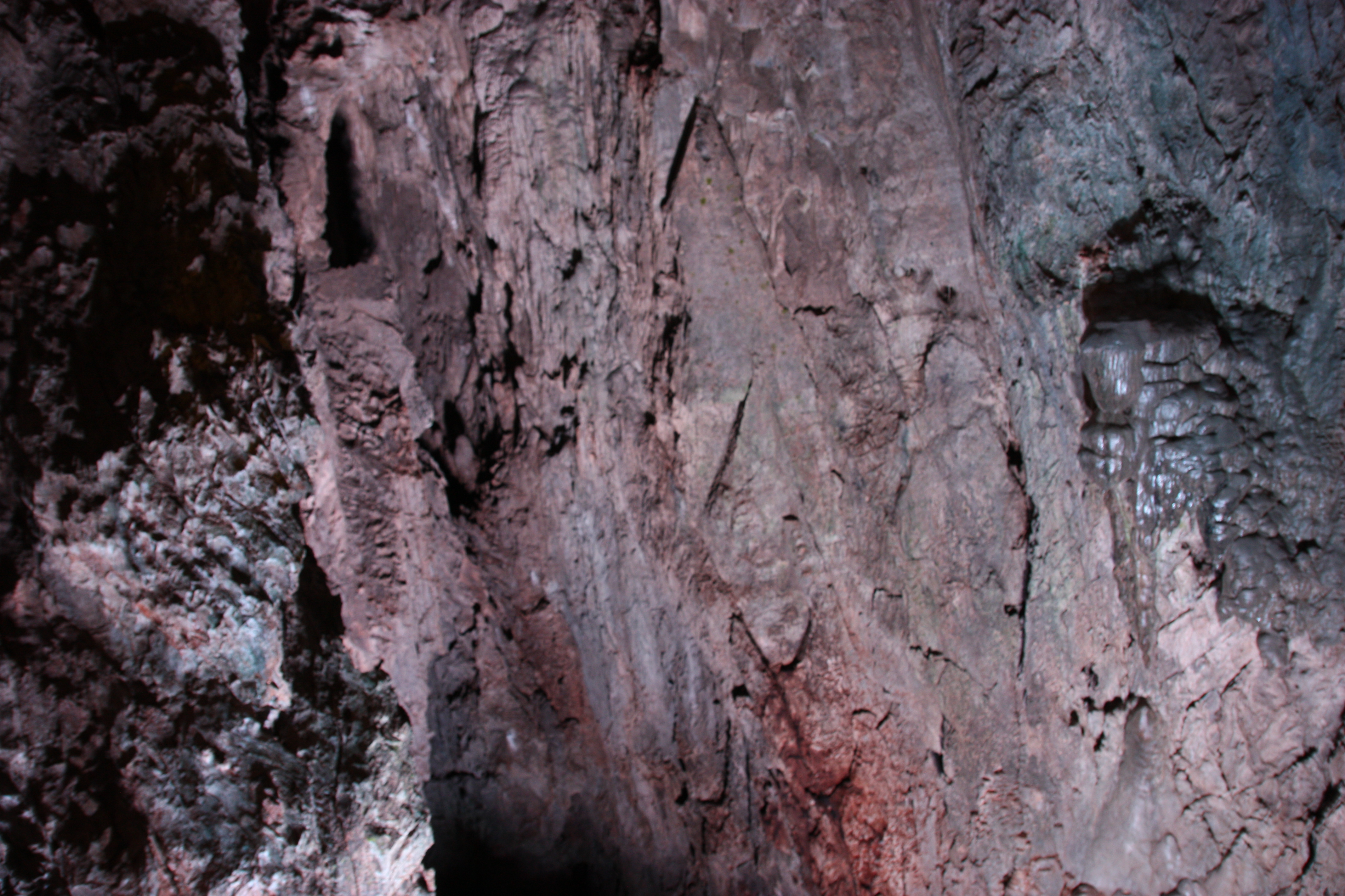
鍾乳石

Uno-su sea cliff - 鵜の巣断崖
筆舌に尽くしがたい青
20130703三陸-73
DSC09344.jpg
DSC09256.jpg

sea and sky

Sanriku Geopark
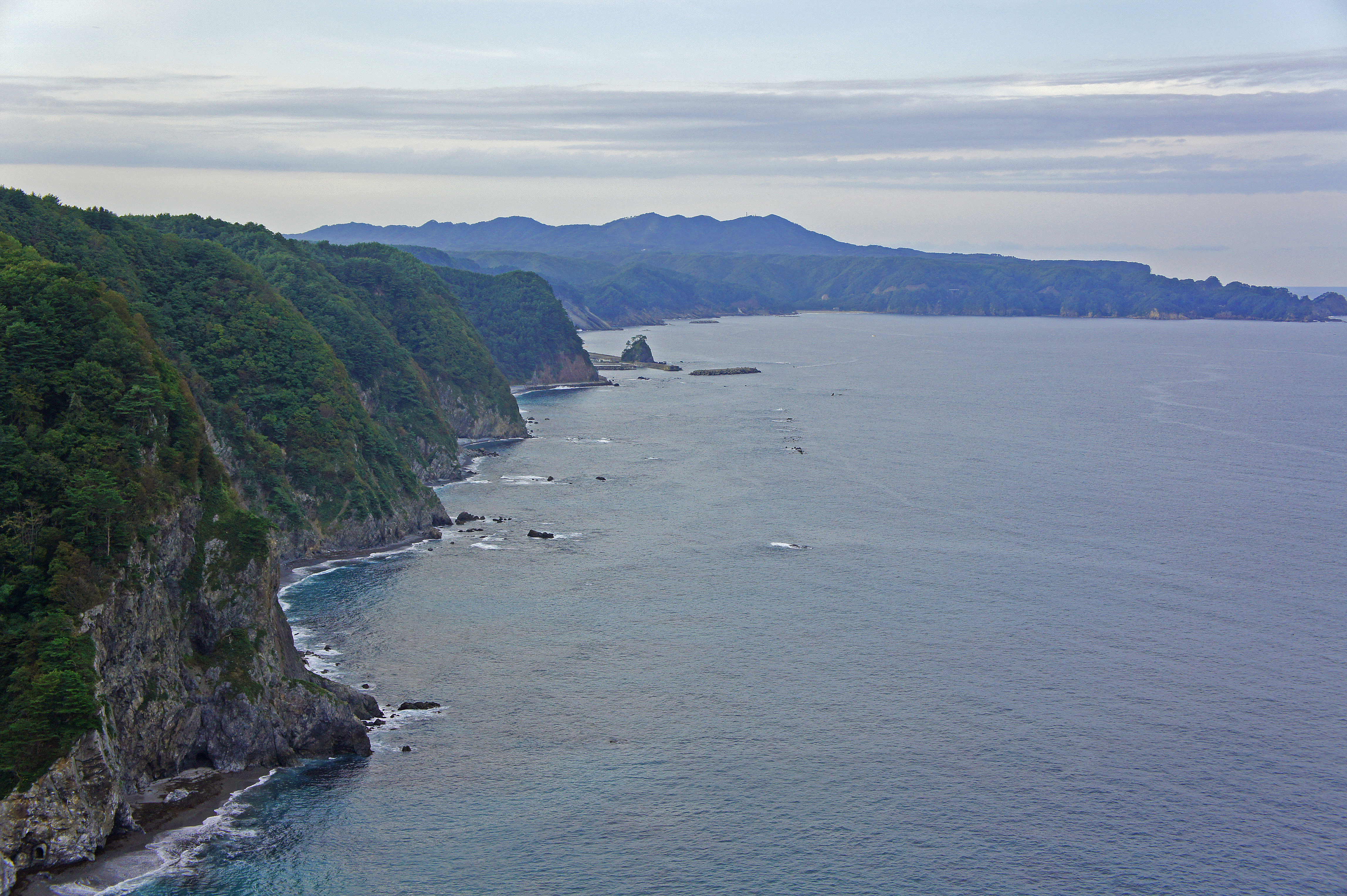
鵜ノ巣断崖2・Unosu Seashore
IMG_1413 87
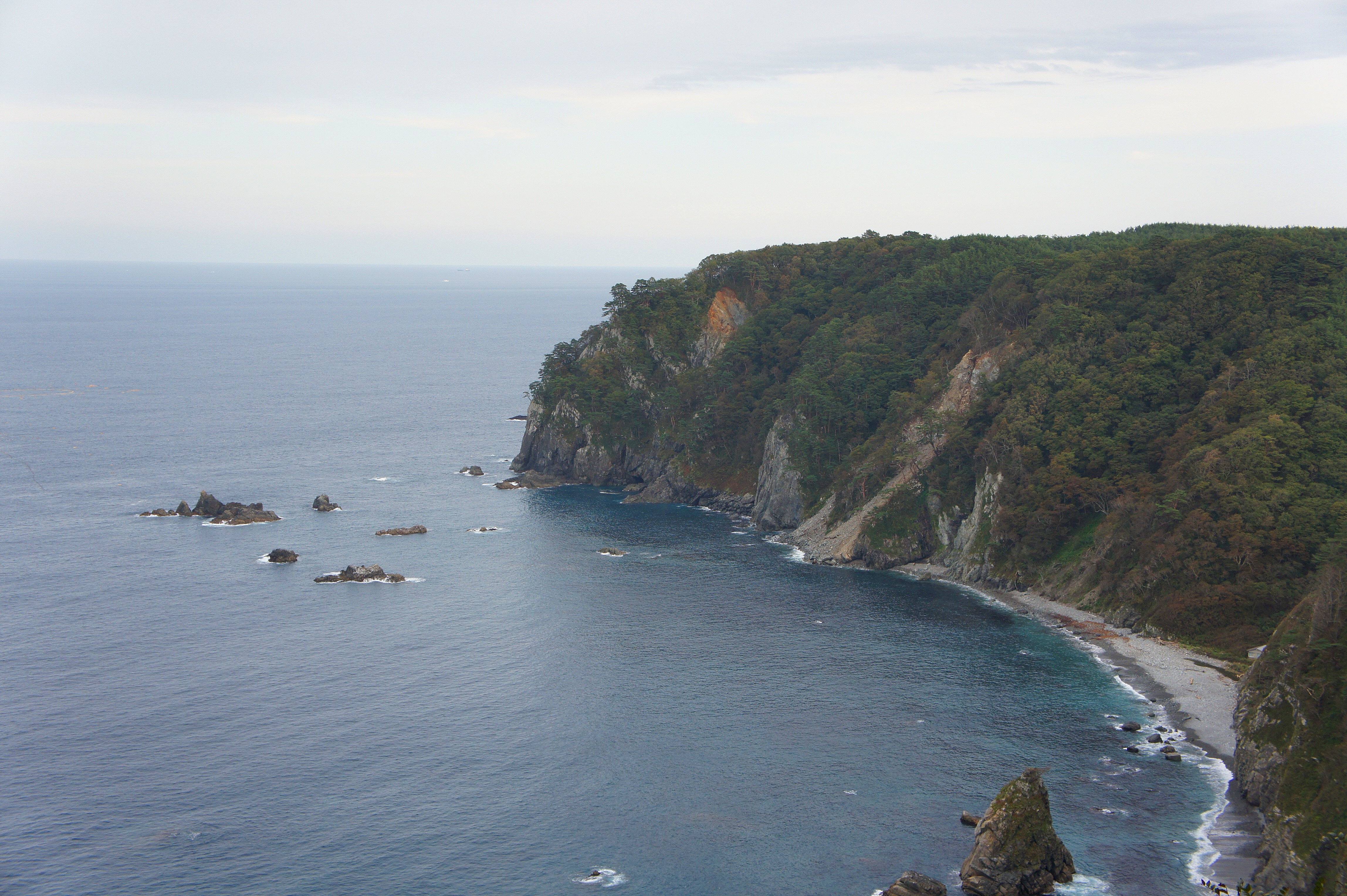
鵜ノ巣断崖4・Unosu Seashore

Sanriku Geopark
Topographic Map of Shimohei District, Iwate Prefecture, Japan
Find elevation by address:

Places in Shimohei District, Iwate Prefecture, Japan:
Places near Shimohei District, Iwate Prefecture, Japan:
Iwaizumi
Kamimoriyama-36 Soiri, Iwaizumi-chō, Shimohei-gun, Iwate-ken -, Japan
Nanataki, Tanohata-mura, Shimohei-gun, Iwate-ken -, Japan
Tanohata
Dai 8 Chiwari- Noda, Noda-mura, Kunohe-gun, Iwate-ken -, Japan
Dai 5 Chiwari-- Tamagawa, Noda-mura, Kunohe-gun, Iwate-ken -, Japan
Noda
7-24 Tateaichō, Miyako-shi, Iwate-ken -, Japan
Miyako
Dai 25 Chiwari-33 Kokujichō, Kuji-shi, Iwate-ken -, Japan
Kuji
Dai 5 Chiwari-51 Akamae, Miyako-shi, Iwate-ken -, Japan
Kuzumaki
Dai 15 Chiwari-21 Kuzumaki, Kuzumaki-machi, Iwate-gun, Iwate-ken -, Japan
Dai 20 Chiwari-55-2 Yamada, Yamada-machi, Shimohei-gun, Iwate-ken -, Japan
Mount Hayachine
Dai 58 Chiwari-12- Ōno, Hirono-chō, Kunohe-gun, Iwate-ken -, Japan
Dai 3 Chiwari- Kuzakai, Miyako-shi, Iwate-ken -, Japan
Yamada
4-6 Hachimanchō, Yamada-machi, Shimohei-gun, Iwate-ken -, Japan
Recent Searches:
- Elevation of Spaceport America, Co Rd A, Truth or Consequences, NM, USA
- Elevation of Warwick, RI, USA
- Elevation of Fern Rd, Whitmore, CA, USA
- Elevation of 62 Abbey St, Marshfield, MA, USA
- Elevation of Fernwood, Bradenton, FL, USA
- Elevation of Felindre, Swansea SA5 7LU, UK
- Elevation of Leyte Industrial Development Estate, Isabel, Leyte, Philippines
- Elevation of W Granada St, Tampa, FL, USA
- Elevation of Pykes Down, Ivybridge PL21 0BY, UK
- Elevation of Jalan Senandin, Lutong, Miri, Sarawak, Malaysia