Elevation of Dai 5 Chiwari-51 Akamae, Miyako-shi, Iwate-ken -, Japan
Location: Japan > Iwate Prefecture > Miyako >
Longitude: 141.954864
Latitude: 39.5766501
Elevation: 56m / 184feet
Barometric Pressure: 101KPa
Elevation Map:
Satellite Map:
Related Photos:
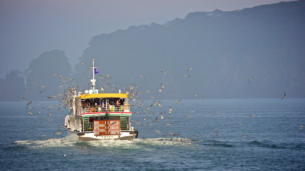
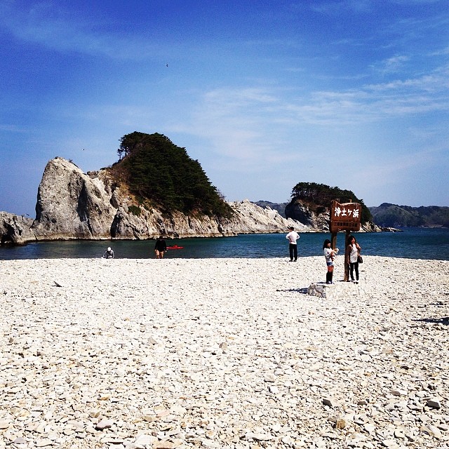
Jodogahama at Miyako (2012:019) - Tourist aboard Sightseeing Cruise around Jodogahama feeding a flock of flying seagulls out at sea
View from esplanade
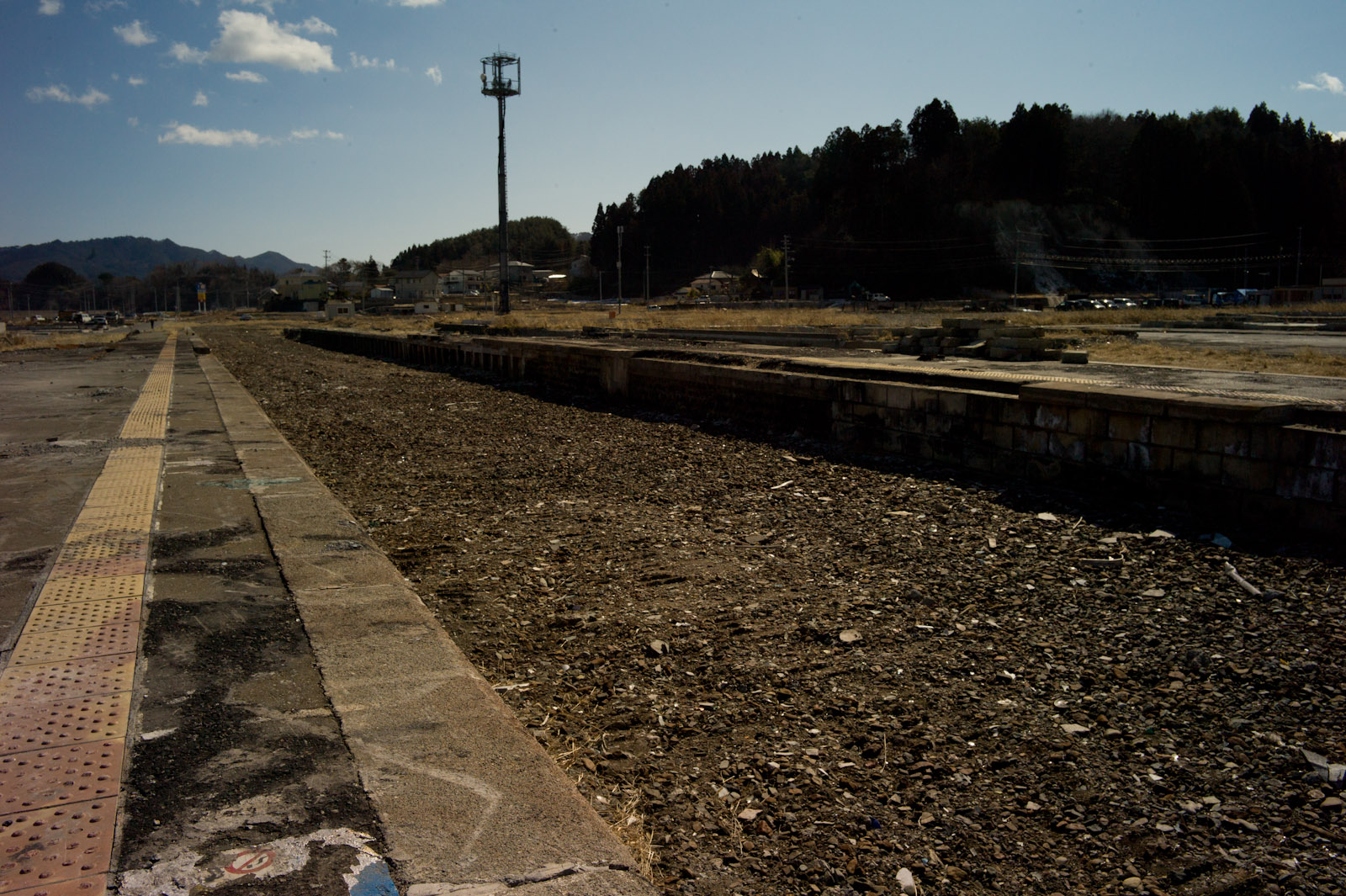
Formerly crowded neighbourhood
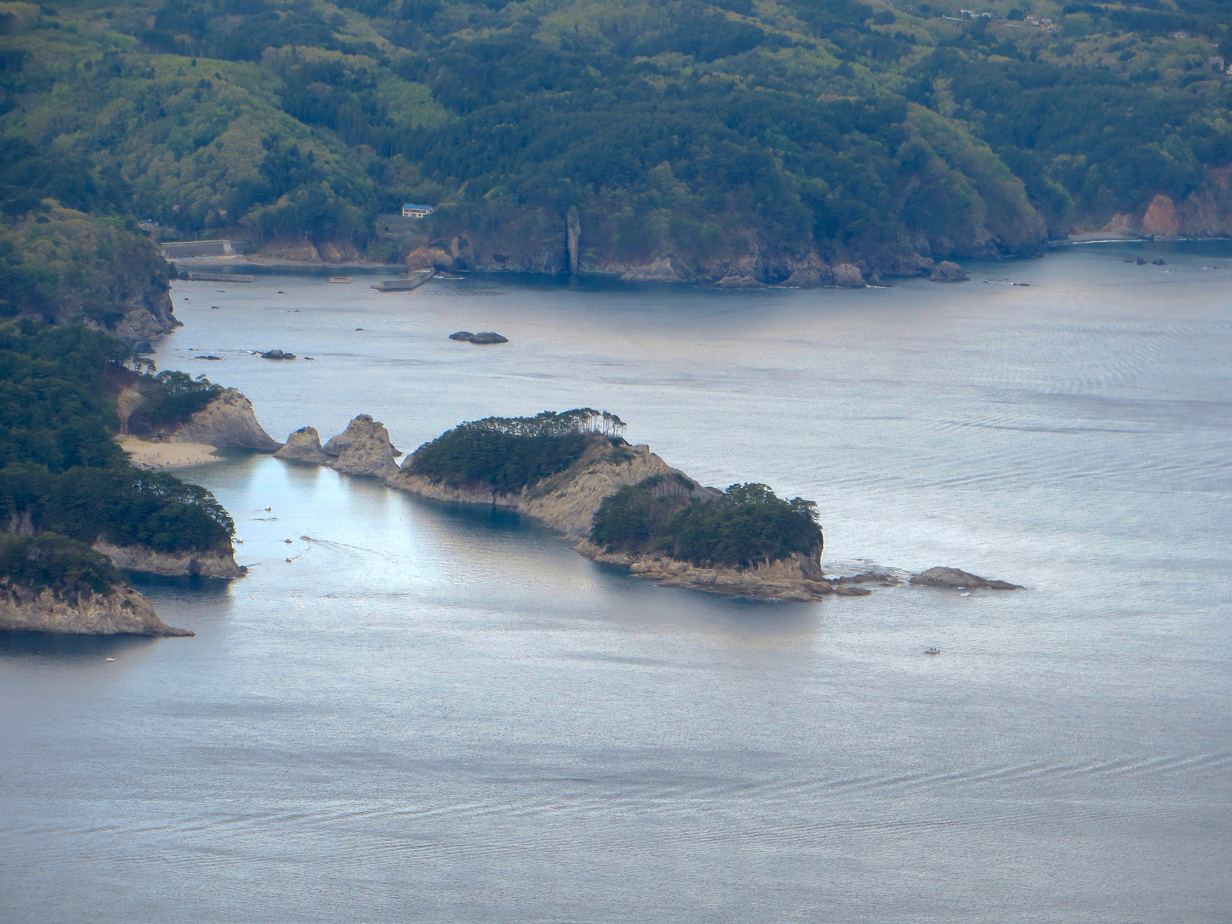
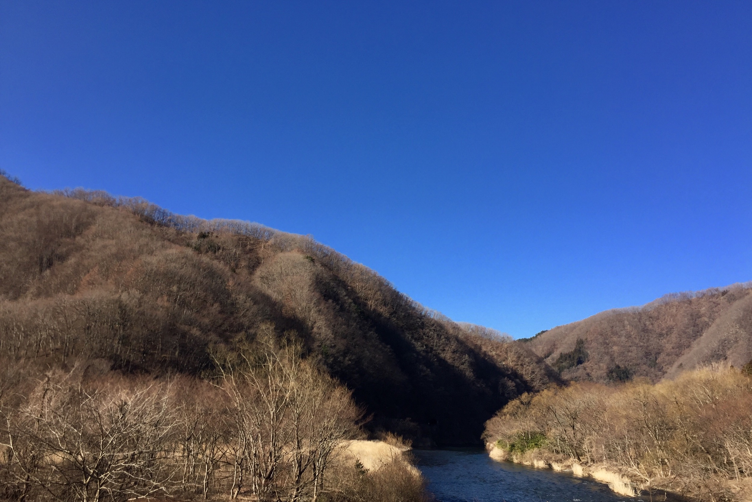
View from Mt. Gassan

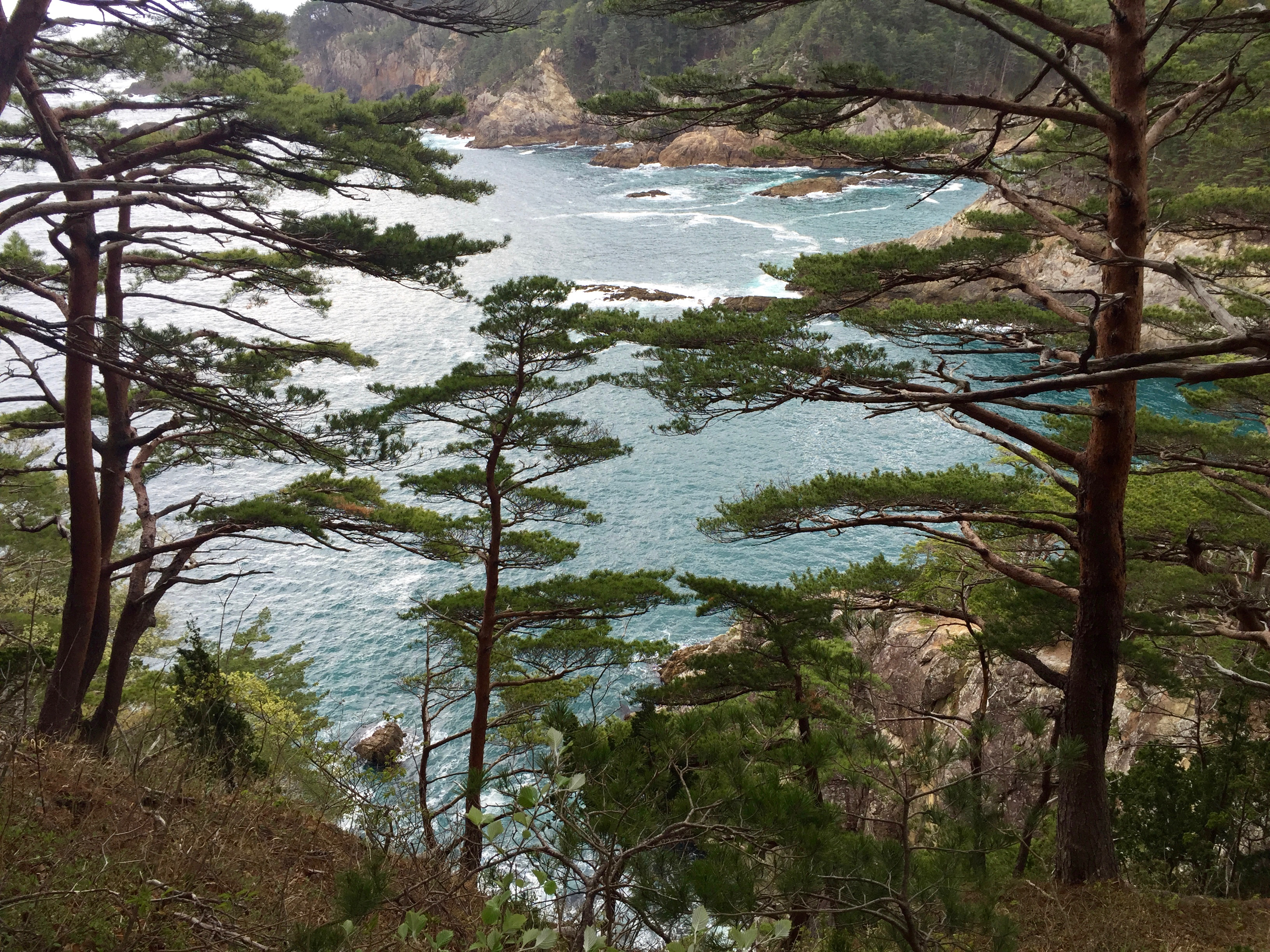
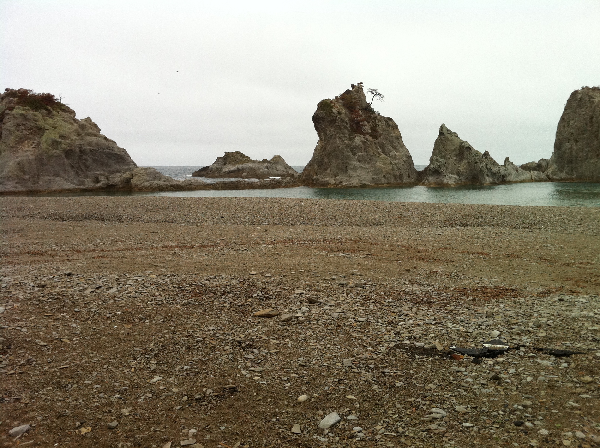
Distant view of Jodogahama
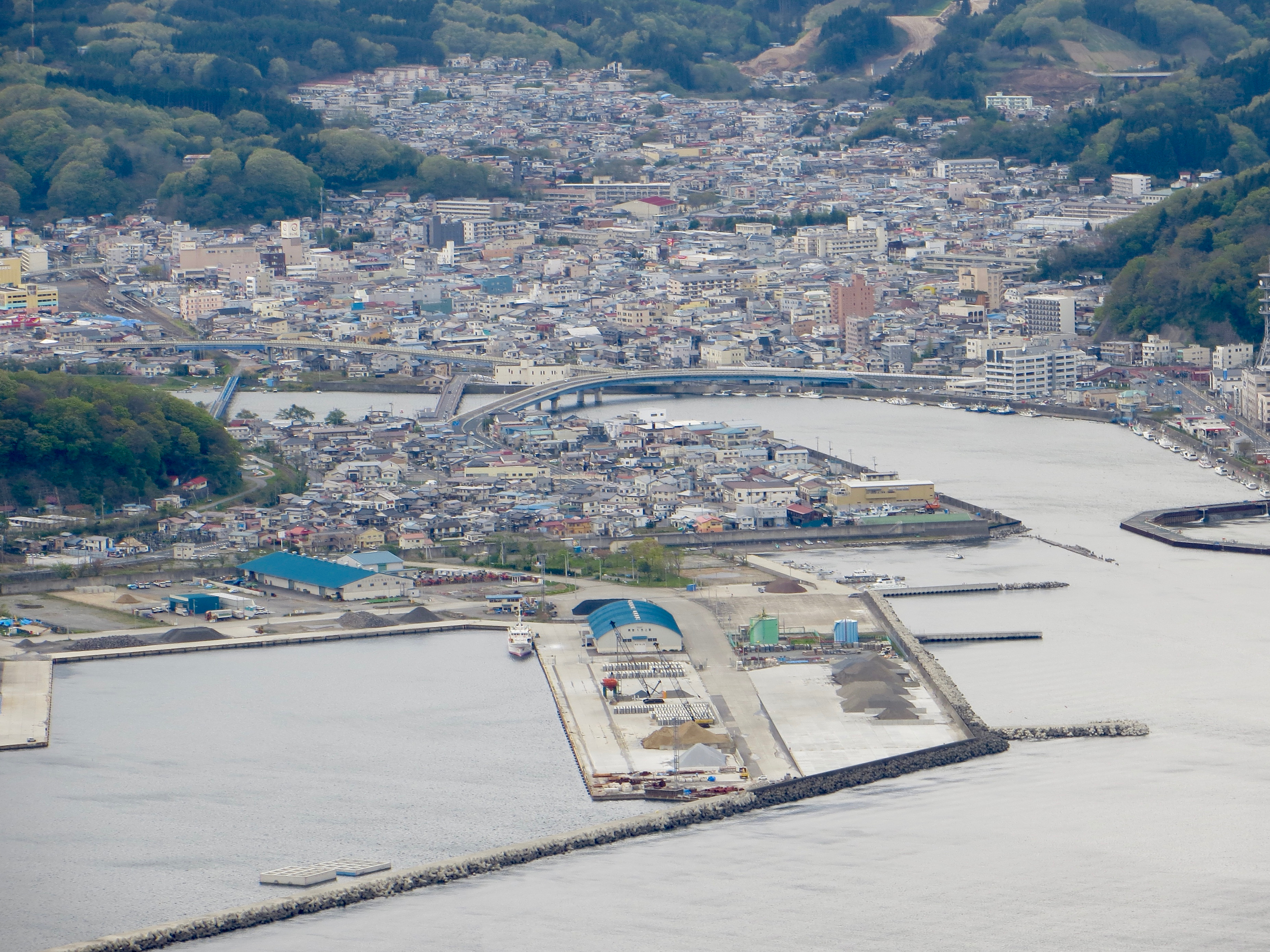
View from Mt. Gassan

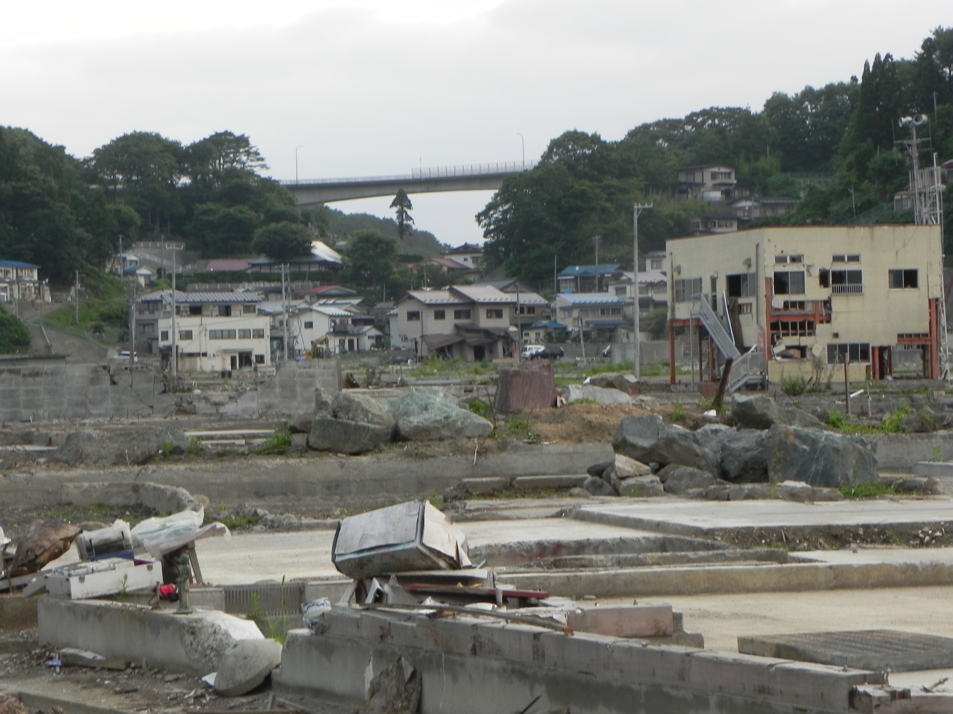
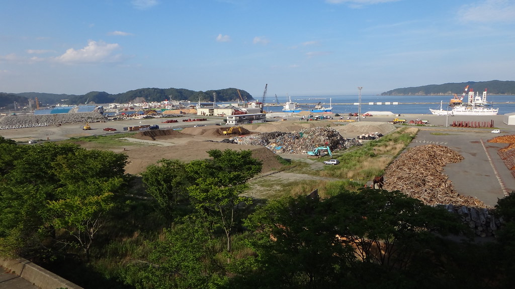
Stripped Earth

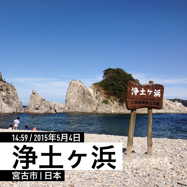
浄土ヶ浜 JYOUDOGAHAMA

浄土ヶ浜 JYOUDOGAHAMA
Yamada | The second summer from tsunami
#宮古市 #浄土ヶ浜 time to say goodbye.
カメラロール-826
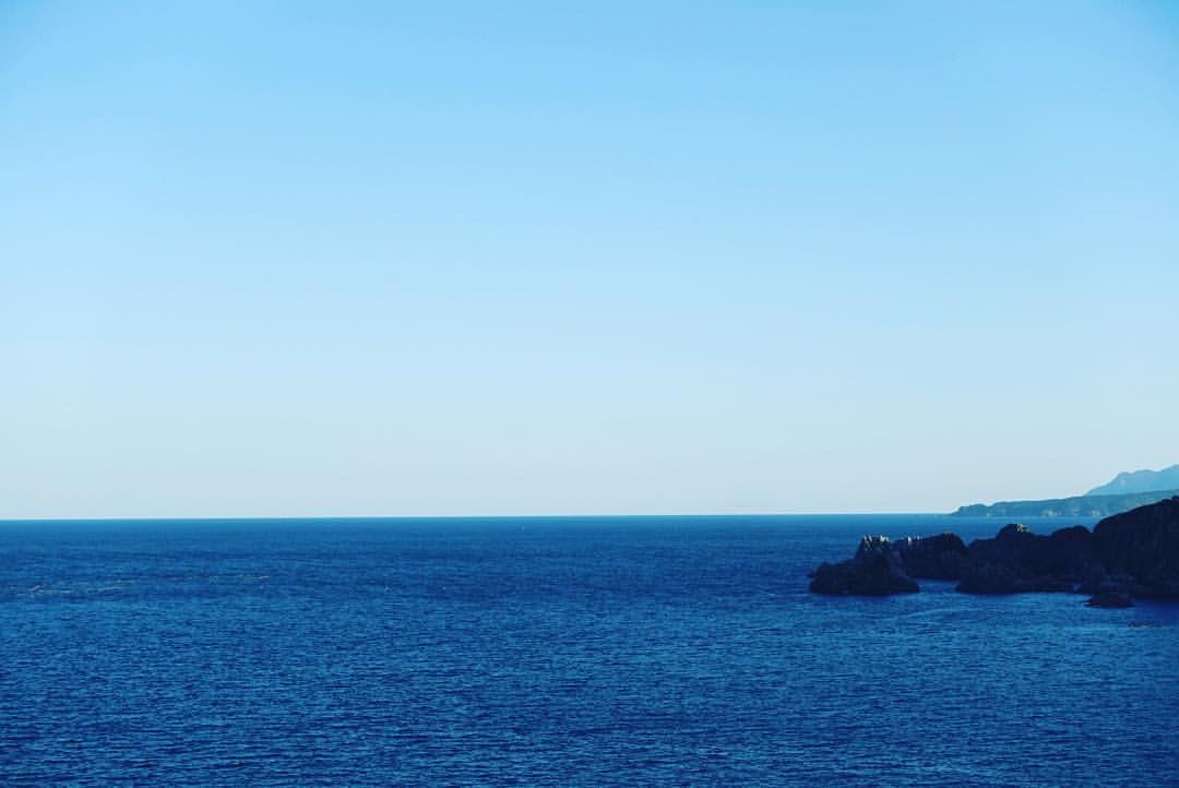
Cape Todogasaki, Miyako

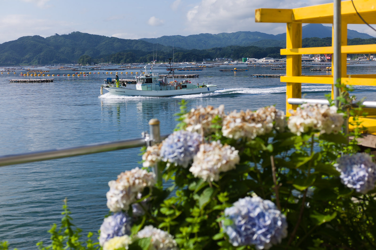
Yamada Bay
Rikuchu-Yamada station

20160212 10:37 Yamadamachi Iwate
海っていいよねー、海って
浄土ヶ浜 Jodogahama beach (1) [2011]

Yamada Bay
20160312 08:12 Miyako Iwate
Rikuchu-Yamada station
みんな鬼のように記念撮影してる
暮れてゆく三陸の海。 #iwate

20151122_144425_E-M1.jpg
2012-08-30_15.53.58_DSC-TX10
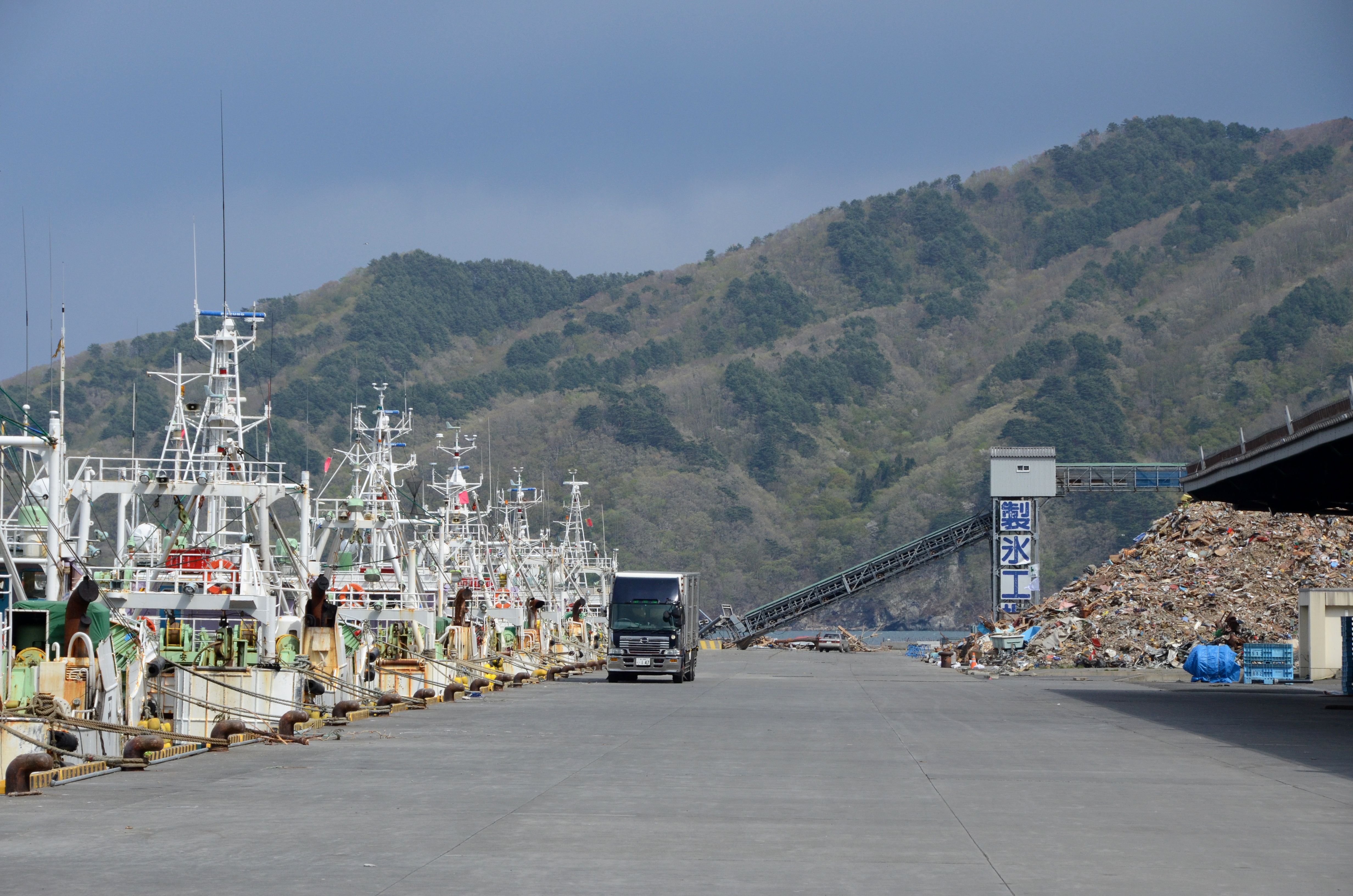
宮古港 (1c)
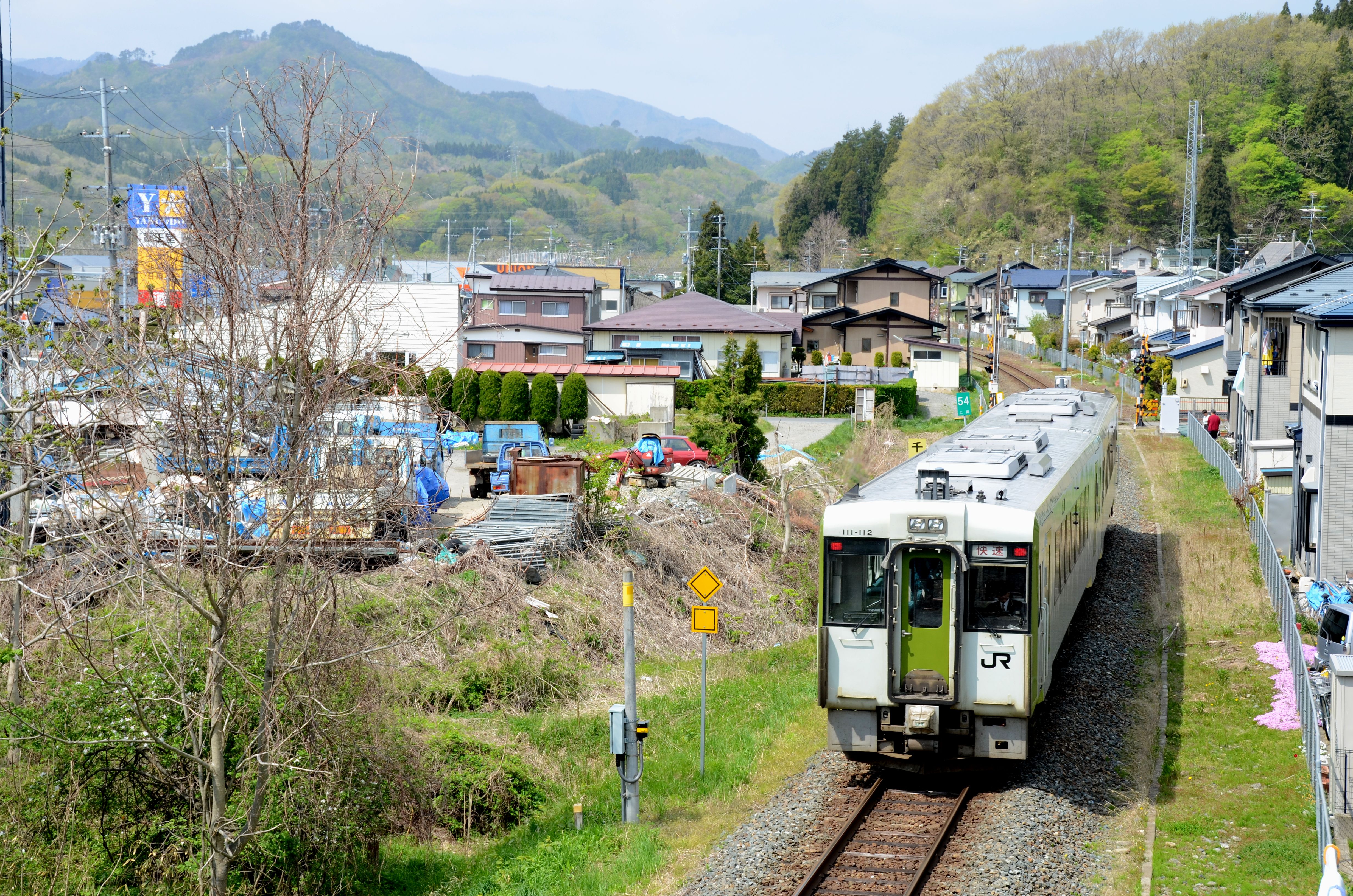
JR山田線(宮古 - 千徳、キハ111-112)
Topographic Map of Dai 5 Chiwari-51 Akamae, Miyako-shi, Iwate-ken -, Japan
Find elevation by address:

Places near Dai 5 Chiwari-51 Akamae, Miyako-shi, Iwate-ken -, Japan:
Miyako
7-24 Tateaichō, Miyako-shi, Iwate-ken -, Japan
Dai 20 Chiwari-55-2 Yamada, Yamada-machi, Shimohei-gun, Iwate-ken -, Japan
Yamada
4-6 Hachimanchō, Yamada-machi, Shimohei-gun, Iwate-ken -, Japan
Dai 15 Chiwari-15-10 Funakoshi, Yamada-machi, Shimohei-gun, Iwate-ken -, Japan
Kamihei District
2 Chome-13-7 Ogakuchi, Ōtsuchi-chō, Kamihei-gun, Iwate-ken -, Japan
Kamimoriyama-36 Soiri, Iwaizumi-chō, Shimohei-gun, Iwate-ken -, Japan
Iwaizumi
Shimohei District
Tanohata
Nanataki, Tanohata-mura, Shimohei-gun, Iwate-ken -, Japan
Mount Hayachine
Dai 8 Chiwari- Noda, Noda-mura, Kunohe-gun, Iwate-ken -, Japan
Dai 5 Chiwari-- Tamagawa, Noda-mura, Kunohe-gun, Iwate-ken -, Japan
Dai 3 Chiwari- Kuzakai, Miyako-shi, Iwate-ken -, Japan
Noda
Dai 25 Chiwari-33 Kokujichō, Kuji-shi, Iwate-ken -, Japan
Kuji
Recent Searches:
- Elevation of Mamala II, Sariaya, Quezon, Philippines
- Elevation of Sarangdanda, Nepal
- Elevation of 7 Waterfall Way, Tomball, TX, USA
- Elevation of SW 57th Ave, Portland, OR, USA
- Elevation of Crocker Dr, Vacaville, CA, USA
- Elevation of Pu Ngaol Community Meeting Hall, HWHM+3X7, Krong Saen Monourom, Cambodia
- Elevation of Royal Ontario Museum, Queens Park, Toronto, ON M5S 2C6, Canada
- Elevation of Groblershoop, South Africa
- Elevation of Power Generation Enterprises | Industrial Diesel Generators, Oak Ave, Canyon Country, CA, USA
- Elevation of Chesaw Rd, Oroville, WA, USA