Elevation of 2 Chome-13-7 Ogakuchi, Ōtsuchi-chō, Kamihei-gun, Iwate-ken -, Japan
Location: Japan > Iwate Prefecture > Kamihei District > Otsuchi >
Longitude: 141.884486
Latitude: 39.3761009
Elevation: 18m / 59feet
Barometric Pressure: 101KPa
Elevation Map:
Satellite Map:
Related Photos:

Kamaishi, Iwate: View from 9th Floor of Kamaishi Bay City Hotel
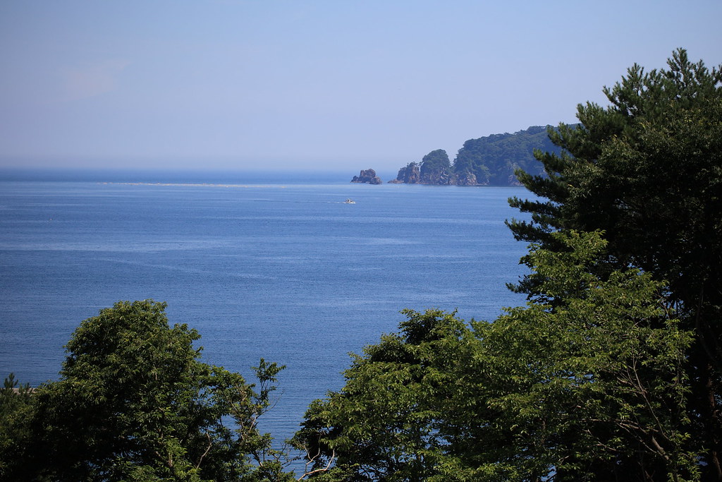
Ocean View in Iwate

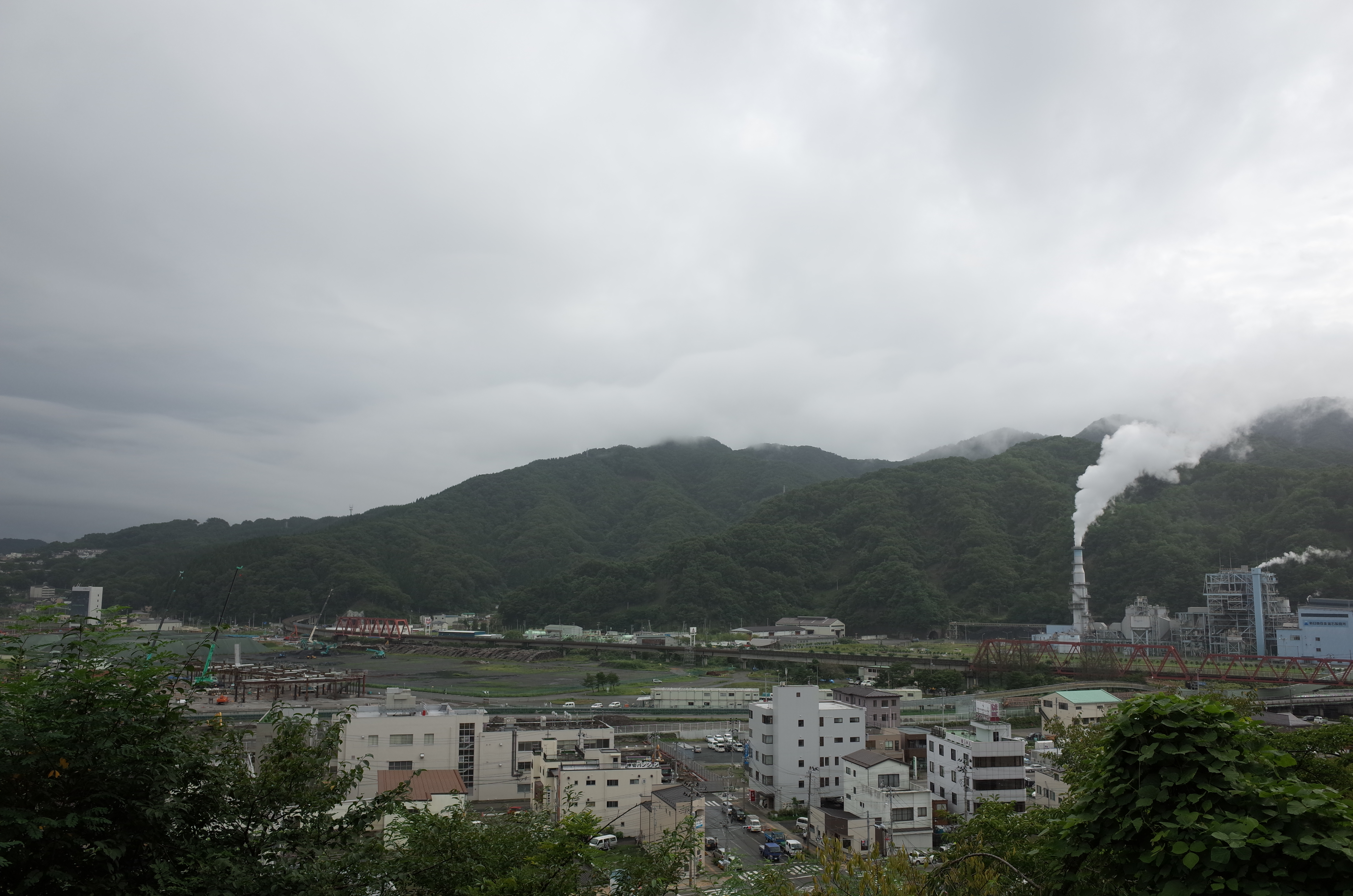
Downtown Ootsuchi today
Yamada | The second summer from tsunami
魹ヶ崎まで行けるだろうか?
Yamada | The second summer from tsunami

Funakoshi Bay | The second summer from tsunami
釜石港

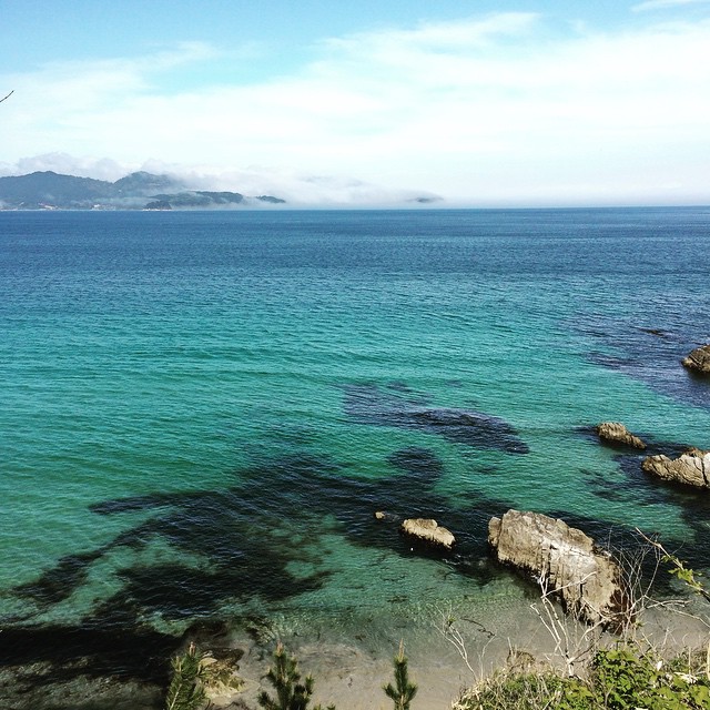
Sea of fertility
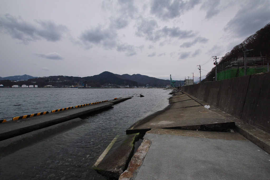
Kamaishi, Iwate: Kamaishi Port

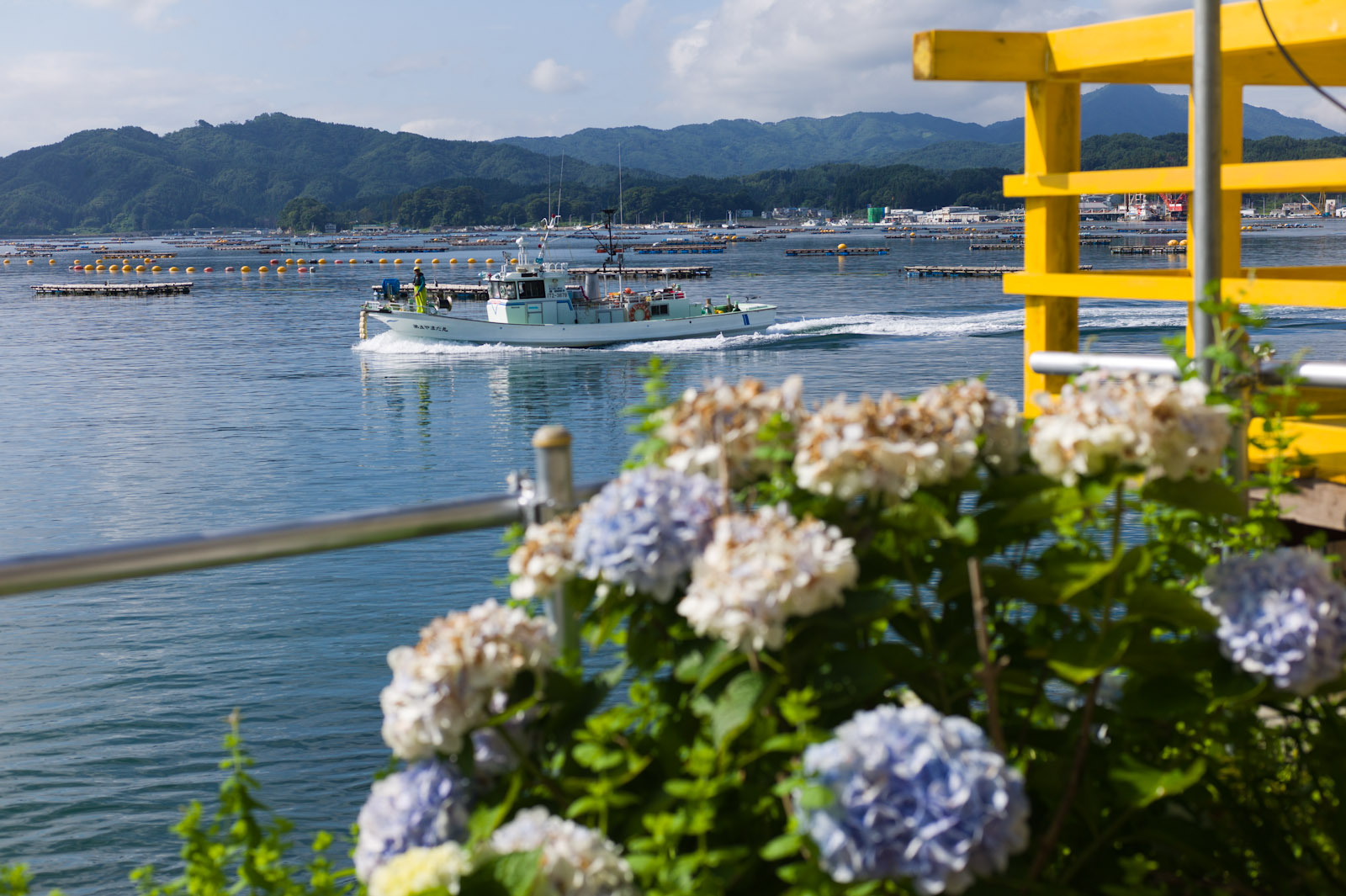
船越湾の風景

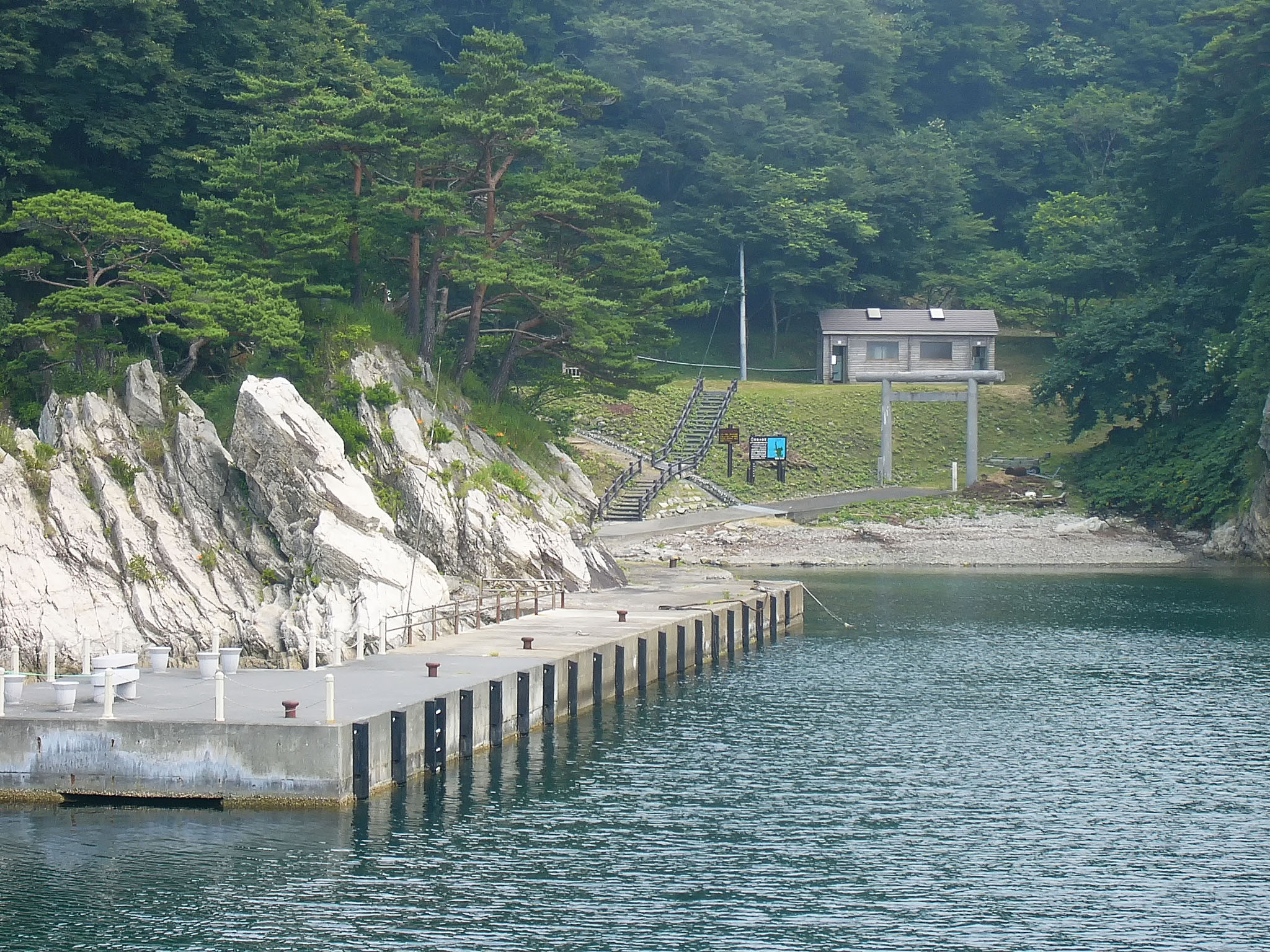
Yamada Bay
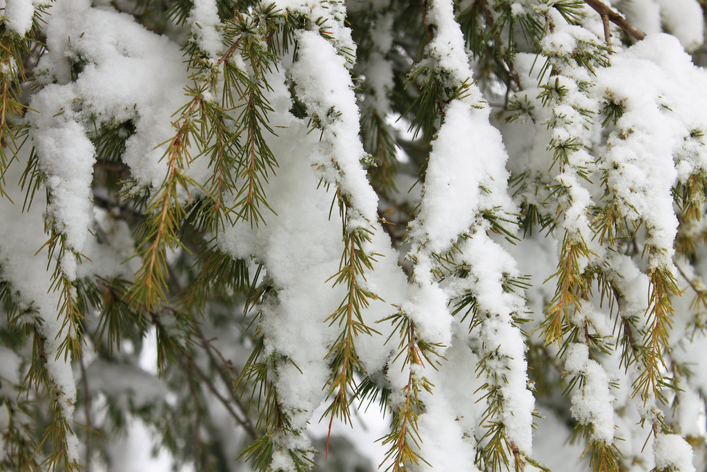
Snowy Pine
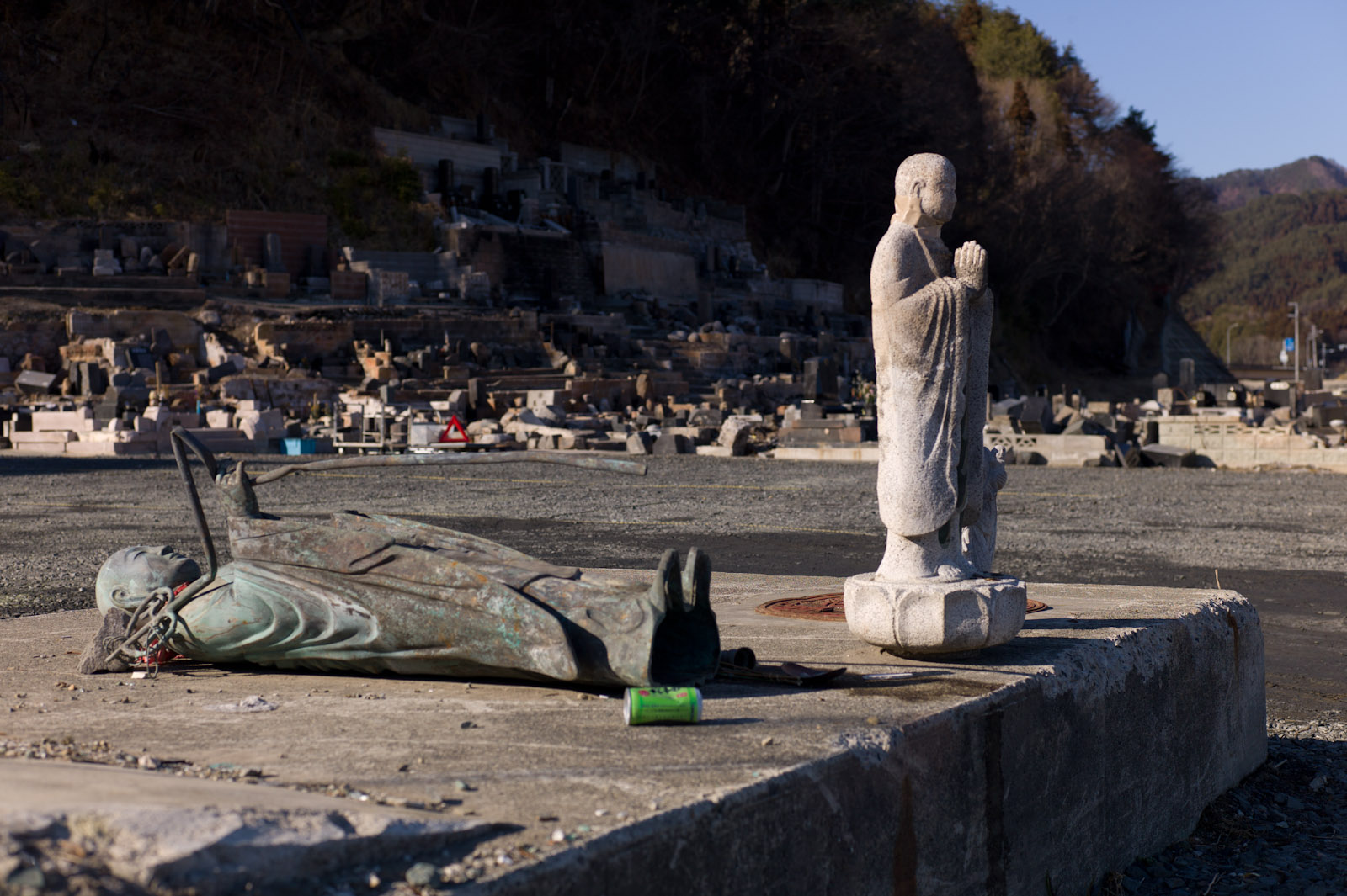
Buddha statues
Rikuchu-Yamada station

20160212 10:37 Yamadamachi Iwate
20130402 16:39 Ootsuchicho,Iwate

風車と大槌湾

Yamada Bay
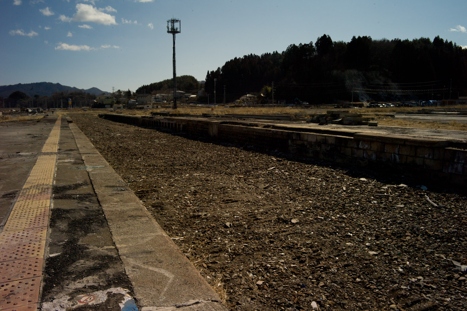
Rikuchu-Yamada station
Rikuchu-Yamada station
2013年9月5日の空
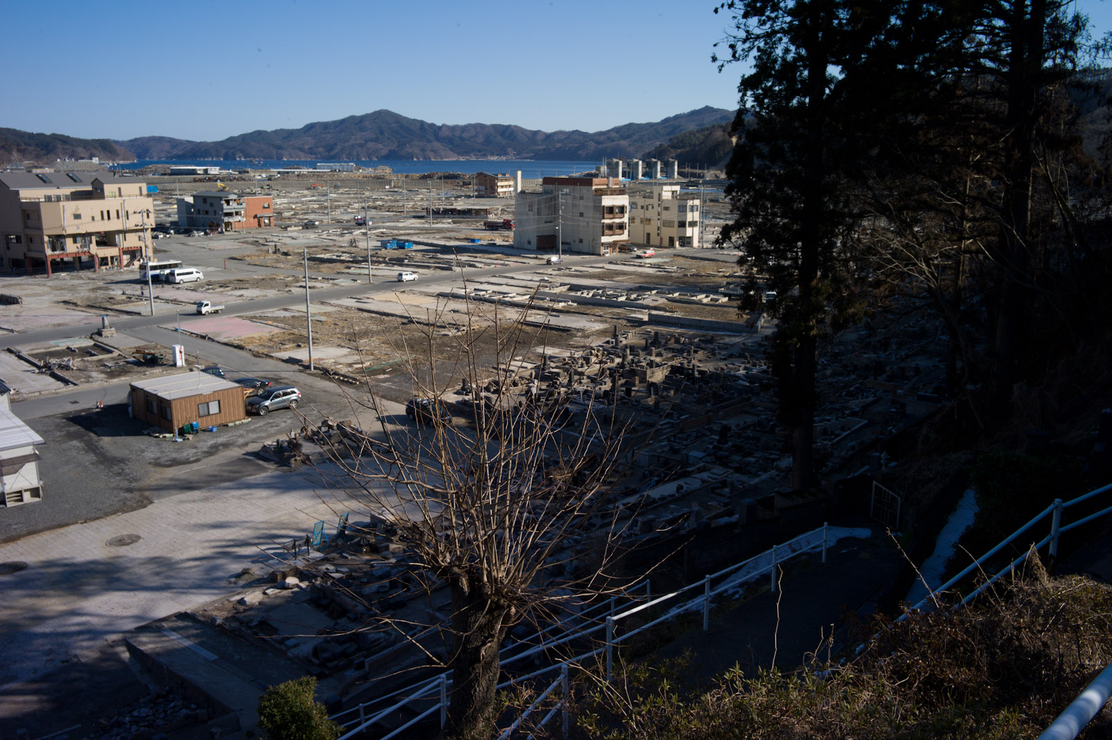
大槌町 2011.07.09
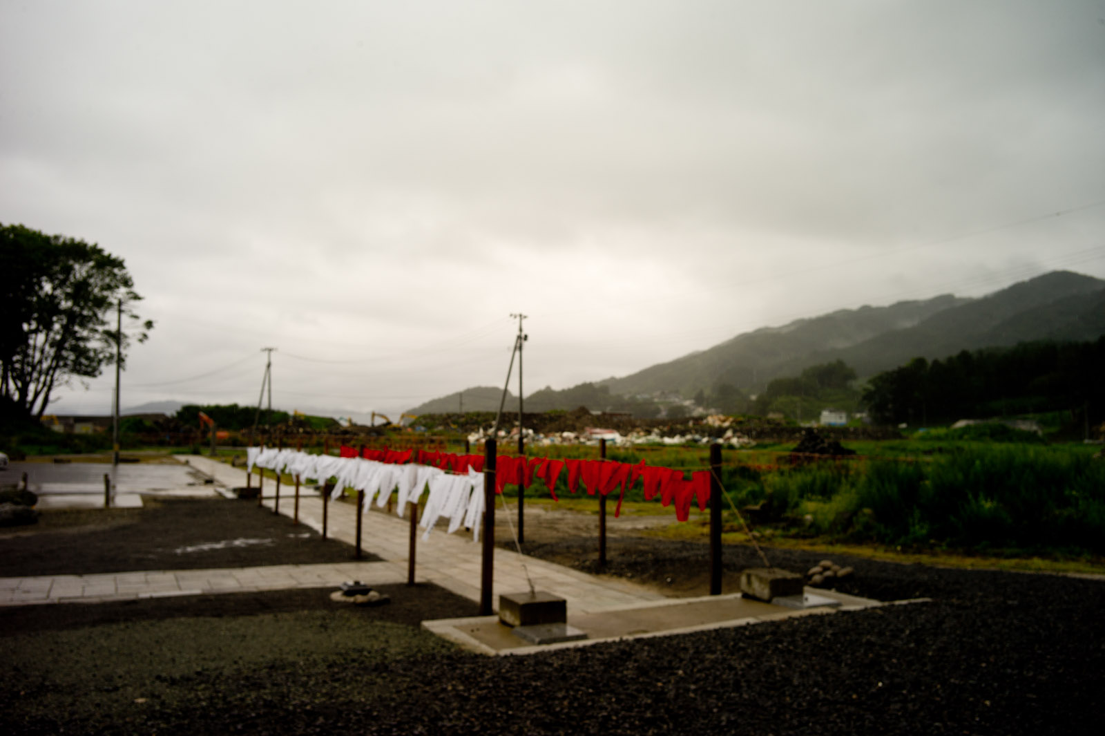
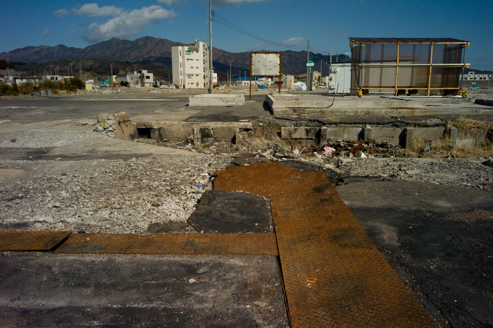
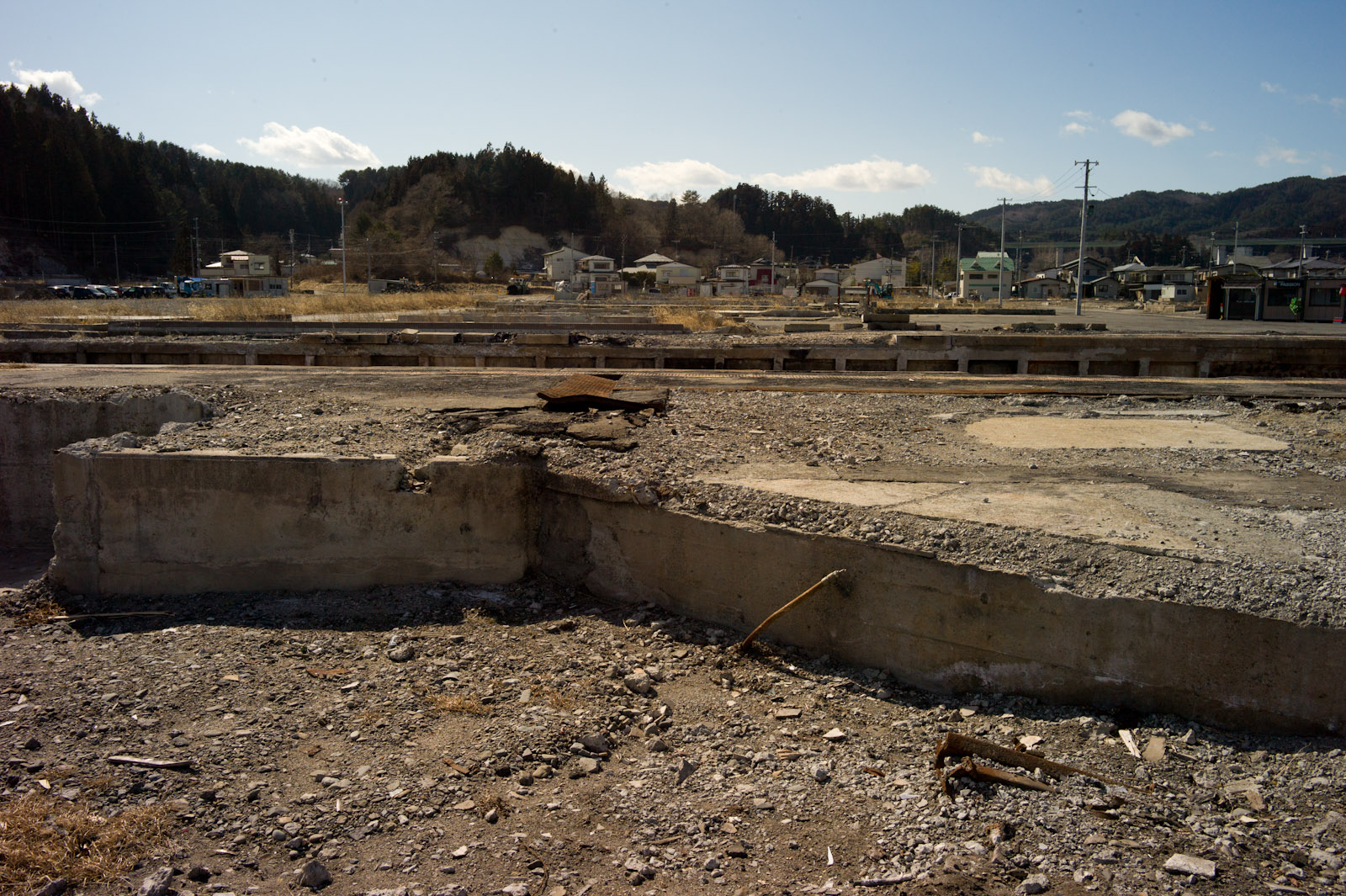
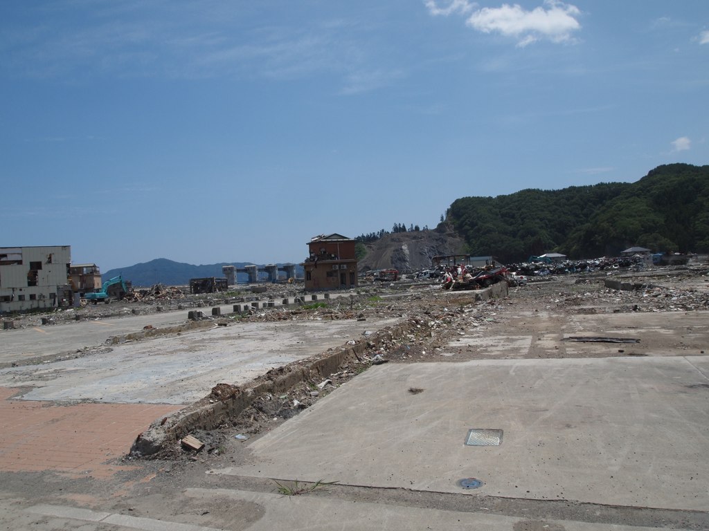
Town was lost
Topographic Map of 2 Chome-13-7 Ogakuchi, Ōtsuchi-chō, Kamihei-gun, Iwate-ken -, Japan
Find elevation by address:

Places near 2 Chome-13-7 Ogakuchi, Ōtsuchi-chō, Kamihei-gun, Iwate-ken -, Japan:
Kamihei District
4-6 Hachimanchō, Yamada-machi, Shimohei-gun, Iwate-ken -, Japan
Yamada
Dai 15 Chiwari-15-10 Funakoshi, Yamada-machi, Shimohei-gun, Iwate-ken -, Japan
Dai 20 Chiwari-55-2 Yamada, Yamada-machi, Shimohei-gun, Iwate-ken -, Japan
Dai 5 Chiwari-51 Akamae, Miyako-shi, Iwate-ken -, Japan
7-24 Tateaichō, Miyako-shi, Iwate-ken -, Japan
Miyako
Kamimoriyama-36 Soiri, Iwaizumi-chō, Shimohei-gun, Iwate-ken -, Japan
Mount Hayachine
Iwaizumi
Shimohei District
Dai 3 Chiwari- Kuzakai, Miyako-shi, Iwate-ken -, Japan
Nanataki, Tanohata-mura, Shimohei-gun, Iwate-ken -, Japan
Tanohata
Dai 10 Chiwari-55-26 Ōhasamamachi Kamegamori, Hanamaki-shi, Iwate-ken -, Japan
Dai 8 Chiwari- Noda, Noda-mura, Kunohe-gun, Iwate-ken -, Japan
Dai 5 Chiwari-- Tamagawa, Noda-mura, Kunohe-gun, Iwate-ken -, Japan
Dai 23 Chiwari-70 Ishidoriyachō Yaehata, Hanamaki-shi, Iwate-ken -, Japan
Noda
Recent Searches:
- Elevation of 7 Waterfall Way, Tomball, TX, USA
- Elevation of SW 57th Ave, Portland, OR, USA
- Elevation of Crocker Dr, Vacaville, CA, USA
- Elevation of Pu Ngaol Community Meeting Hall, HWHM+3X7, Krong Saen Monourom, Cambodia
- Elevation of Royal Ontario Museum, Queens Park, Toronto, ON M5S 2C6, Canada
- Elevation of Groblershoop, South Africa
- Elevation of Power Generation Enterprises | Industrial Diesel Generators, Oak Ave, Canyon Country, CA, USA
- Elevation of Chesaw Rd, Oroville, WA, USA
- Elevation of N, Mt Pleasant, UT, USA
- Elevation of 6 Rue Jules Ferry, Beausoleil, France