Elevation of Kris Dr, Santa Maria, CA, USA
Location: United States > California > Santa Barbara County > Santa Maria >
Longitude: -120.45786
Latitude: 34.8754478
Elevation: 83m / 272feet
Barometric Pressure: 100KPa
Elevation Map:
Satellite Map:
Related Photos:

NASA's OCO-2 satellite launch tonight had to be rescheduled 24 hours due to a cooling system issue. "@IamOCO2: So disappointed that we didn't go. Same time same place tomorrow folks! _#OCO2"_#NASASocial#

street view

Ad Astra

2016 PHOTOCHALLENGE WEEK 2: VIEW FROM UNDER THE BRIDGE – HDR

Rusty Blackbird (Euphagus carolinus)

Rusty Blackbird (Euphagus carolinus)

Santa Maria Inn

santa maria

Golden Tree

Melody Market

Straight Rows

Items for Jenny to choose from!

Before The Haze Burns Off

Dirty Pass

Guadalupe California

Indigo Bunting (Passerina cyanea)

Views from the Amtrak Coast Starlight

American Golden-Plover (Pluvialis dominica)

Bell’s Vireo (Vireo bellii)

Bell’s Vireo (Vireo bellii)

American Redstart (Setophaga ruticilla)

< wheel ruts in the field >

Santa Maria, CA

Taking Shape
Road Trip: Somewhere in California

Umber Skipper 4-2-16 Santa Maria CA

U.S. 101 Between Santa Barbara and Santa Maria, California (15)

20181115-FPAC-LSC-0048

20181115-FPAC-LSC-0022

Wine Country, U.S. 101 Between Santa Barbara and Santa Maria, California

Wine Country, U.S. 101 Between Santa Barbara and Santa Maria, California

Wine Country, U.S. 101 Between Santa Barbara and Santa Maria, California

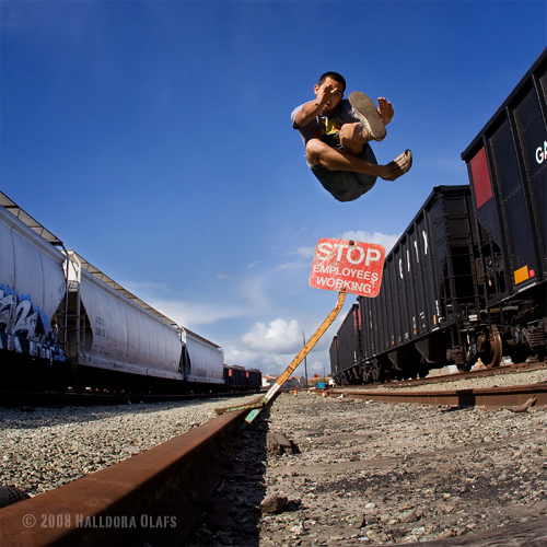
Shopping Cart Return, Santa Maria, CA. 2008.

Interceptor Missile

Interceptor Missile

Santa Paula SZP to San Luis Obispo SBP

Interceptor Missile

Rose-breasted Grosbeak (Pheucticus ludovicianus)

Vandenberg Air Force Base
Topographic Map of Kris Dr, Santa Maria, CA, USA
Find elevation by address:

Places near Kris Dr, Santa Maria, CA, USA:
Champion Real Estate
196 Stansbury Dr
Orcutt
3536 Dakota Dr
741 Raymond Ave
4845 S Bradley Rd
1152 Hilltop Rd
5702 Paige Ct
1145 Via Pavion
4421 Boardwalk Ln
1565 Betteravia Rd
1276 Hollysprings Ln
1621 Barolo Pl
2301 Black Rd
Stillwell Rd, Santa Maria, CA, USA
La Brea Ave, Santa Maria, CA, USA
Black Rd, Santa Maria, CA, USA
Black Rd, Santa Maria, CA, USA
Lompoc Casmalia Rd, Casmalia, CA, USA
Santa Maria Recreation & Parks Department
Recent Searches:
- Elevation of Congressional Dr, Stevensville, MD, USA
- Elevation of Bellview Rd, McLean, VA, USA
- Elevation of Stage Island Rd, Chatham, MA, USA
- Elevation of Shibuya Scramble Crossing, 21 Udagawacho, Shibuya City, Tokyo -, Japan
- Elevation of Jadagoniai, Kaunas District Municipality, Lithuania
- Elevation of Pagonija rock, Kranto 7-oji g. 8"N, Kaunas, Lithuania
- Elevation of Co Rd 87, Jamestown, CO, USA
- Elevation of Tenjo, Cundinamarca, Colombia
- Elevation of Côte-des-Neiges, Montreal, QC H4A 3J6, Canada
- Elevation of Bobcat Dr, Helena, MT, USA