Elevation of Betteravia Rd, Santa Maria, CA, USA
Location: United States > California > Santa Barbara County > Santa Maria >
Longitude: -120.46623
Latitude: 34.9211611
Elevation: 66m / 217feet
Barometric Pressure: 101KPa
Elevation Map:
Satellite Map:
Related Photos:

Straight Rows
Spartus Full-Vue
HWY 166 and the Milky Way (Explored Jan 16)

Full Moon 166
Golden Tree
From out Behind

Items for Jenny to choose from!
Guadalupe California
Dirty Pass
Morning views #nofilter #centralcoastsunrise
Santa Maria Inn
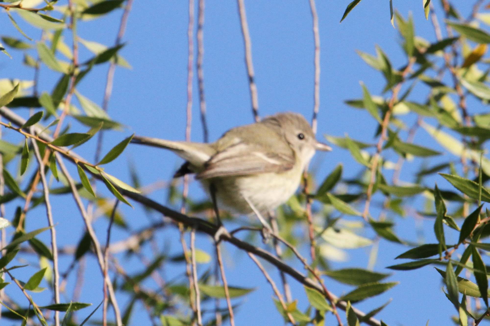
Bell’s Vireo (Vireo bellii)
Los Angeles & San Diego 059
First Sight of the Ocean
Random stop.
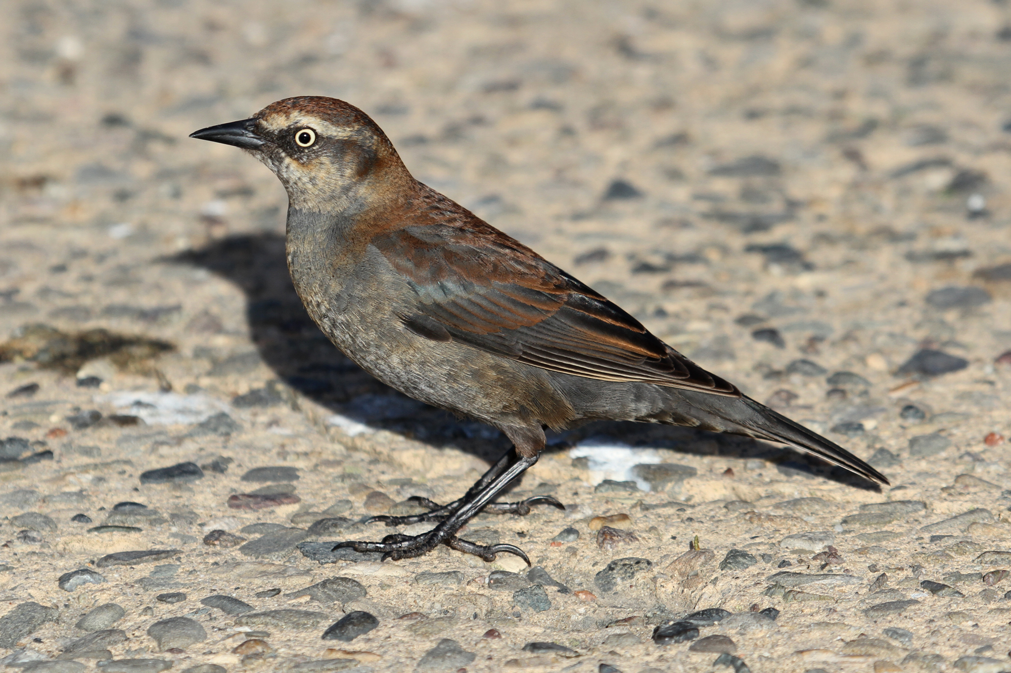
Rusty Blackbird (Euphagus carolinus)
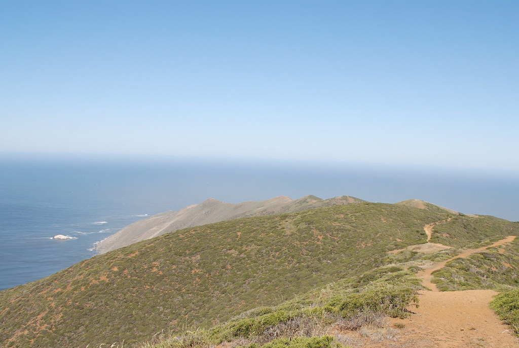
Point Sal to Mussel Point to Guadalupe Dunes Hike
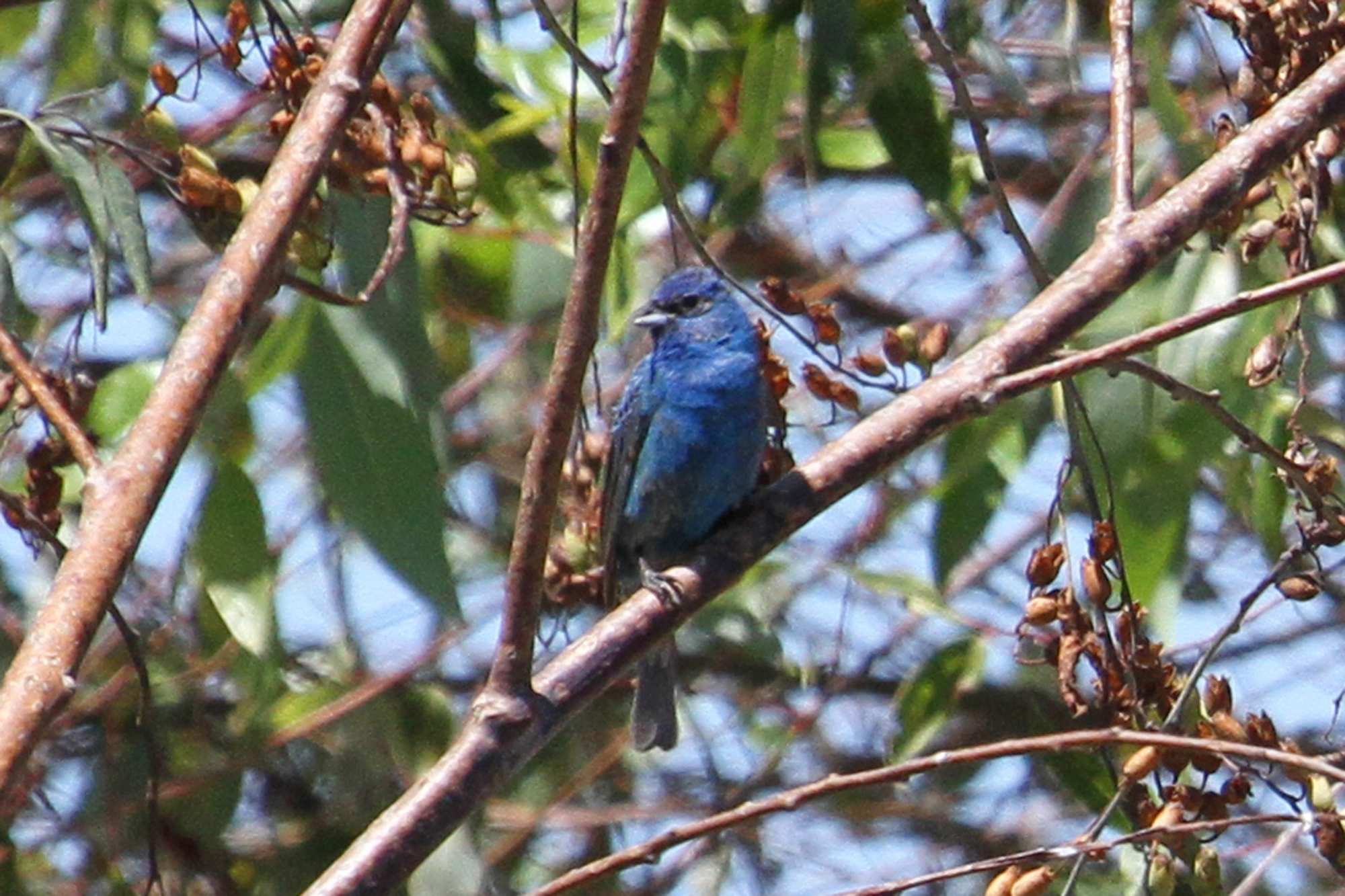
Indigo Bunting (Passerina cyanea)
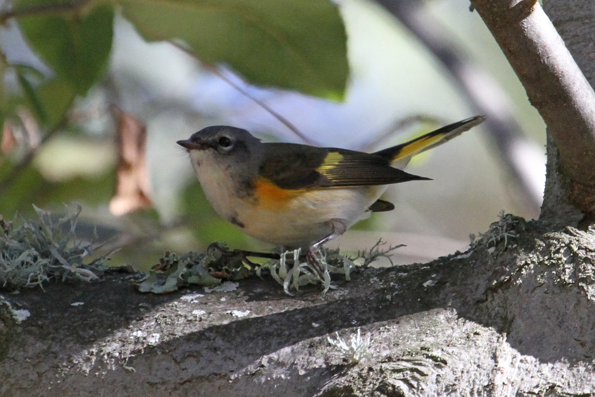
American Redstart (Setophaga ruticilla)
santa maria
Balcony View

< North 101 >
Excuse Me While I Kiss The Sky
Taking Shape
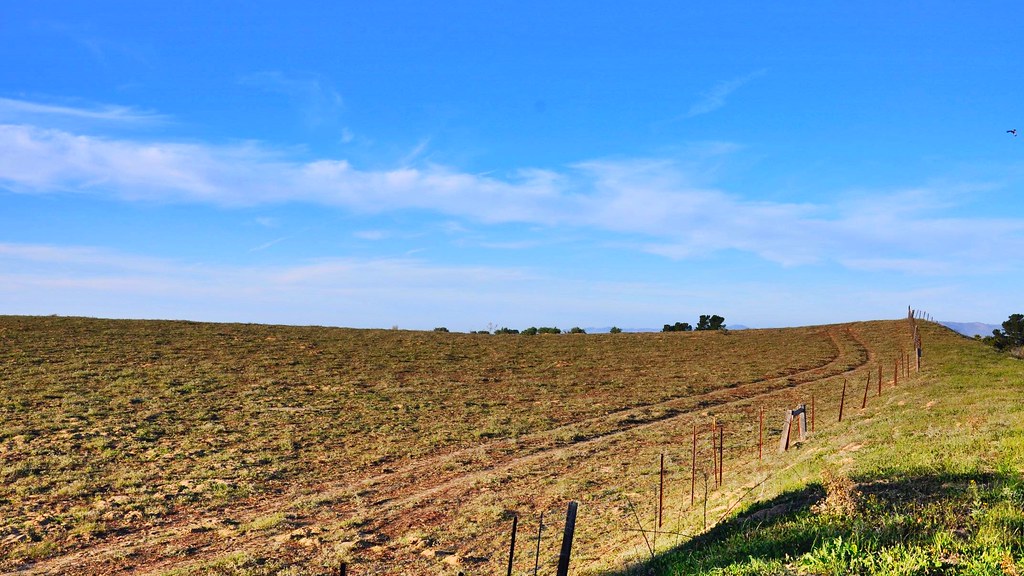
< wheel ruts in the field >
Pictures by monicag13
Nipomo, California
Santa Paula SZP to San Luis Obispo SBP
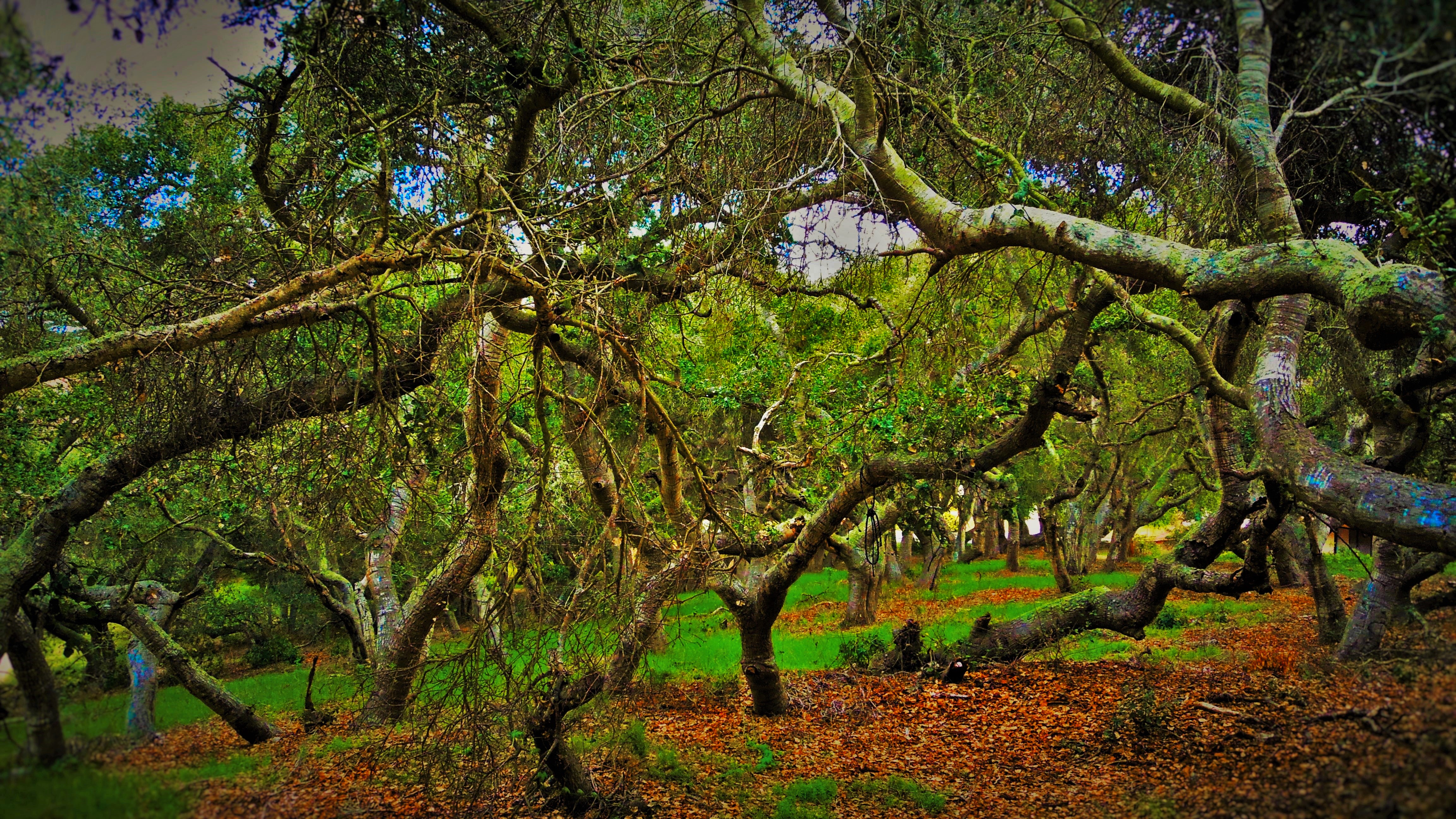
In the Oaks
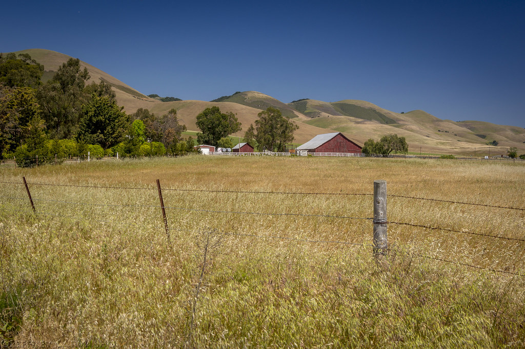
Big Red Barn
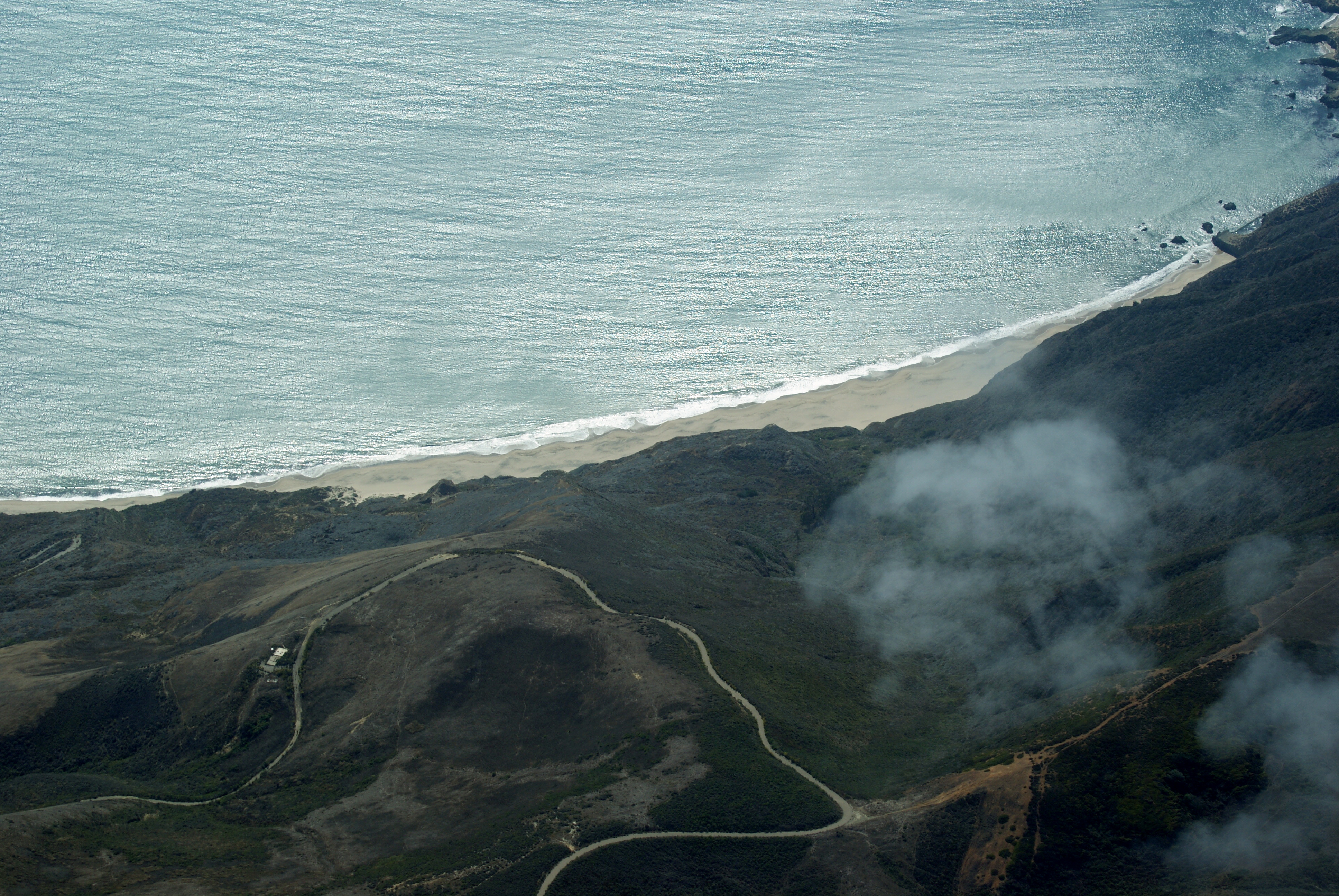
Point Sal Beach
Santa Paula SZP to San Luis Obispo SBP
Gwen and Wardrum, no filter

62771021_56339820121225-18069-vjupus
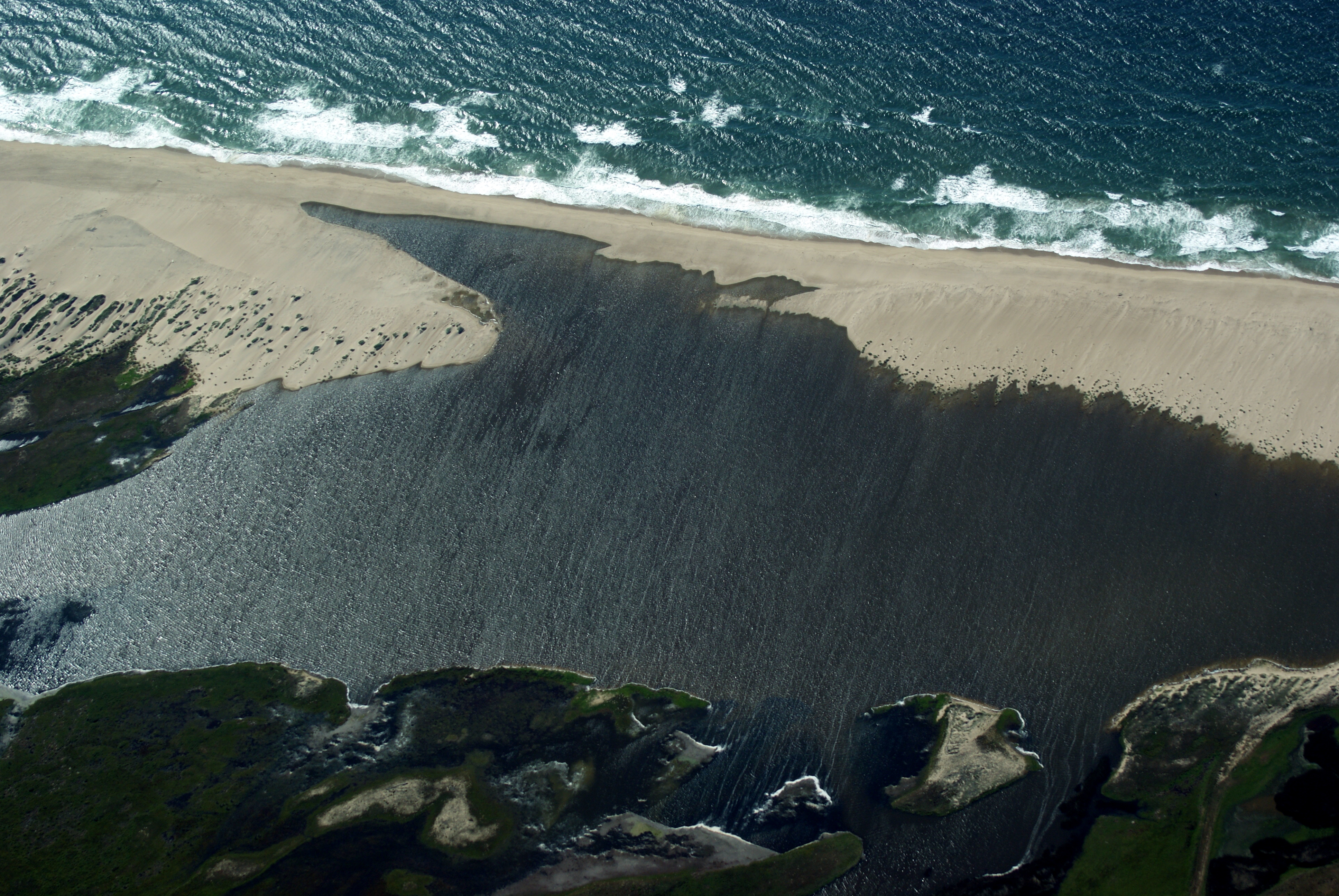
Guadalupe Beach, CA
Edwards Barn
Road Trip: Somewhere in California
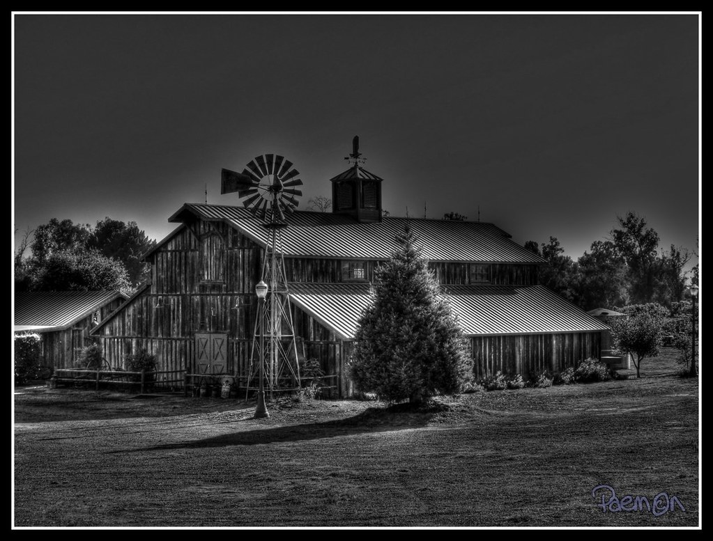
Edwards Barn B/W

Sunset from Coast Starlight
Topographic Map of Betteravia Rd, Santa Maria, CA, USA
Find elevation by address:

Places near Betteravia Rd, Santa Maria, CA, USA:
1621 Barolo Pl
La Brea Ave, Santa Maria, CA, USA
2301 Black Rd
Black Rd, Santa Maria, CA, USA
Santa Maria Recreation & Parks Department
Santa Maria
3536 Dakota Dr
741 Raymond Ave
4389 Kris Dr
223 W Sunset Ave
Vons
196 Stansbury Dr
Champion Real Estate
1502 Marilyn Way
1502 Marilyn Way
1523 Marilyn Way
1523 Marilyn Way
1152 Hilltop Rd
Orcutt
722 Brandy Ct
Recent Searches:
- Elevation of Jalan Senandin, Lutong, Miri, Sarawak, Malaysia
- Elevation of Bilohirs'k
- Elevation of 30 Oak Lawn Dr, Barkhamsted, CT, USA
- Elevation of Luther Road, Luther Rd, Auburn, CA, USA
- Elevation of Unnamed Road, Respublika Severnaya Osetiya — Alaniya, Russia
- Elevation of Verkhny Fiagdon, North Ossetia–Alania Republic, Russia
- Elevation of F. Viola Hiway, San Rafael, Bulacan, Philippines
- Elevation of Herbage Dr, Gulfport, MS, USA
- Elevation of Lilac Cir, Haldimand, ON N3W 2G9, Canada
- Elevation of Harrod Branch Road, Harrod Branch Rd, Kentucky, USA