Elevation of Santa Maria, CA, USA
Location: United States > California > Santa Barbara County >
Longitude: -120.43571
Latitude: 34.9530337
Elevation: 68m / 223feet
Barometric Pressure: 101KPa
Elevation Map:
Satellite Map:
Related Photos:

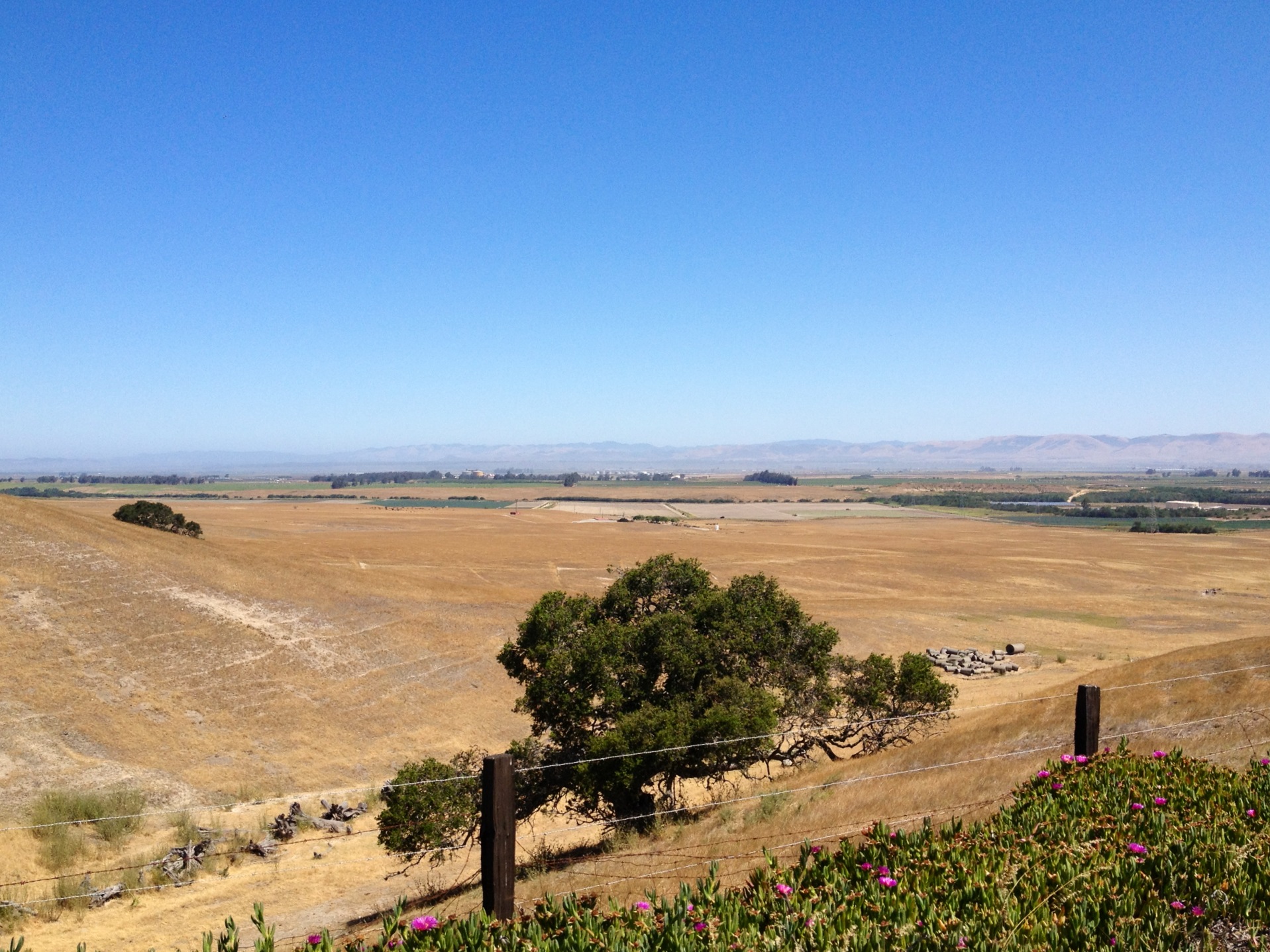
Straight Rows

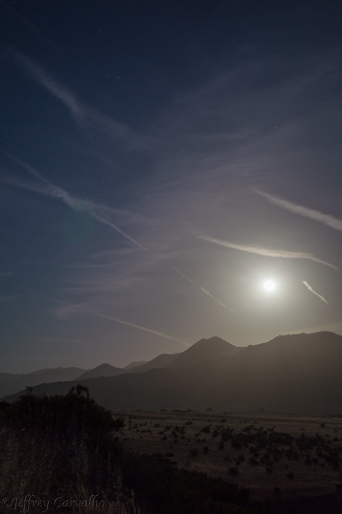
Full Moon 166
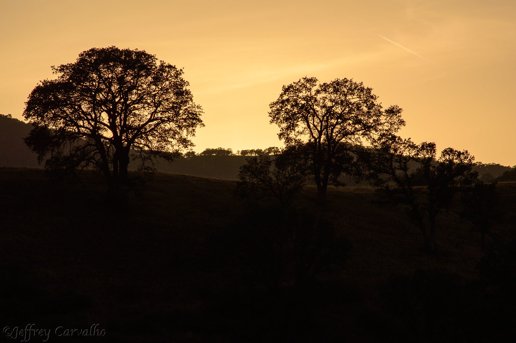
Golden Tree
From out Behind

Back and to the Left

Thompson Road Windmill
Day 5 - Red Dress Day, hill climbing

Morning views #nofilter #centralcoastsunrise
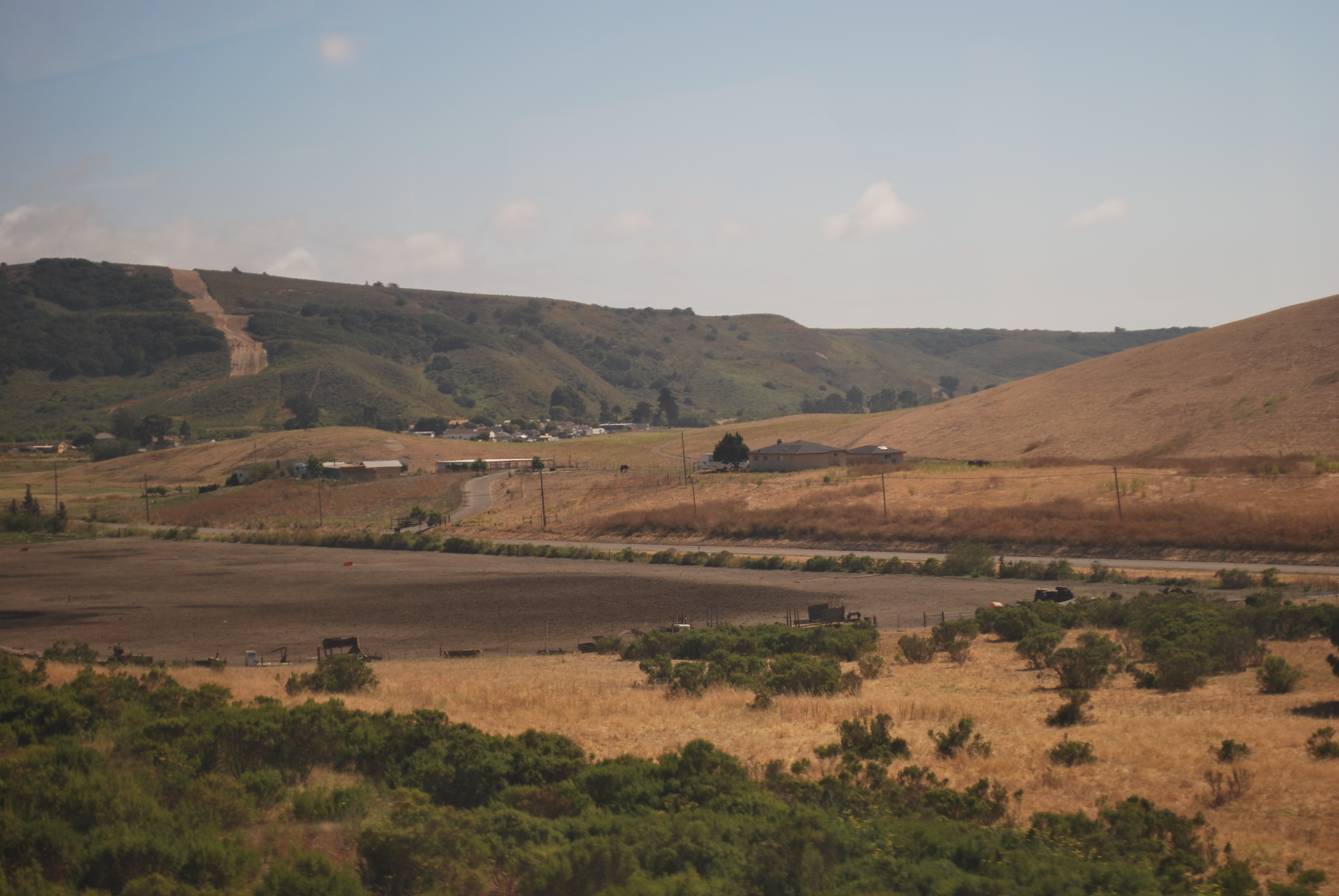
Views from the Amtrak Coast Starlight
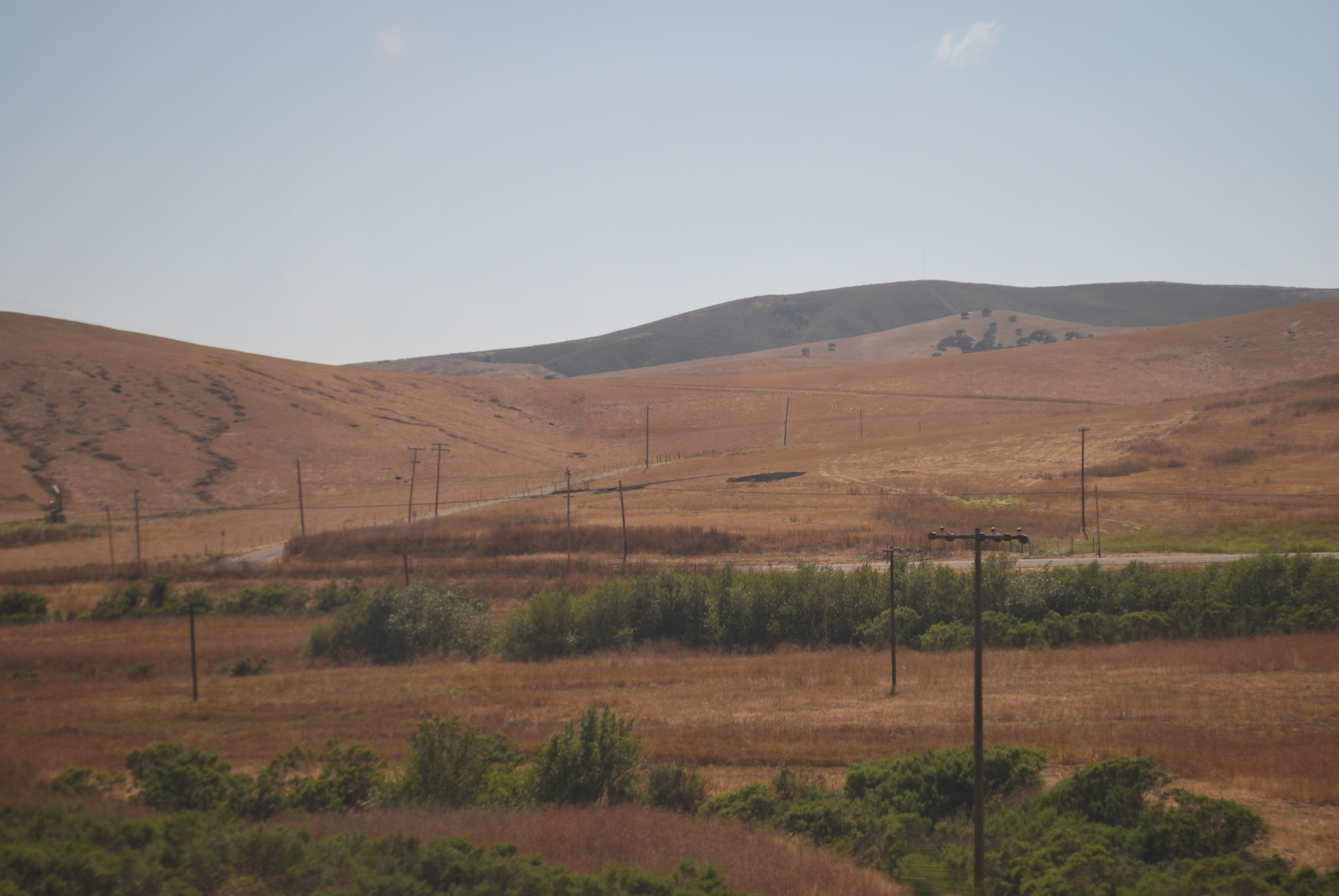
Views from the Amtrak Coast Starlight
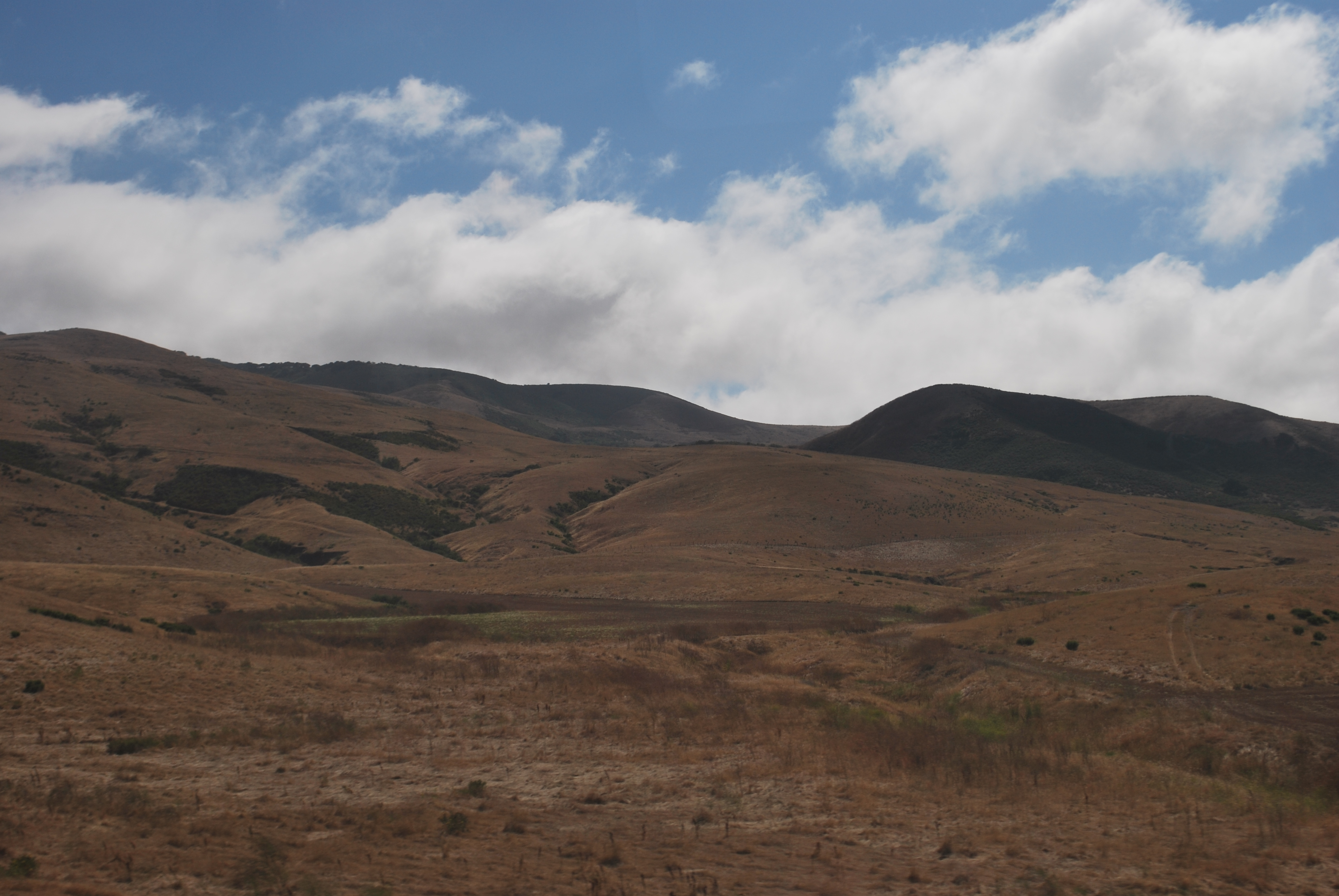
Views from the Amtrak Coast Starlight
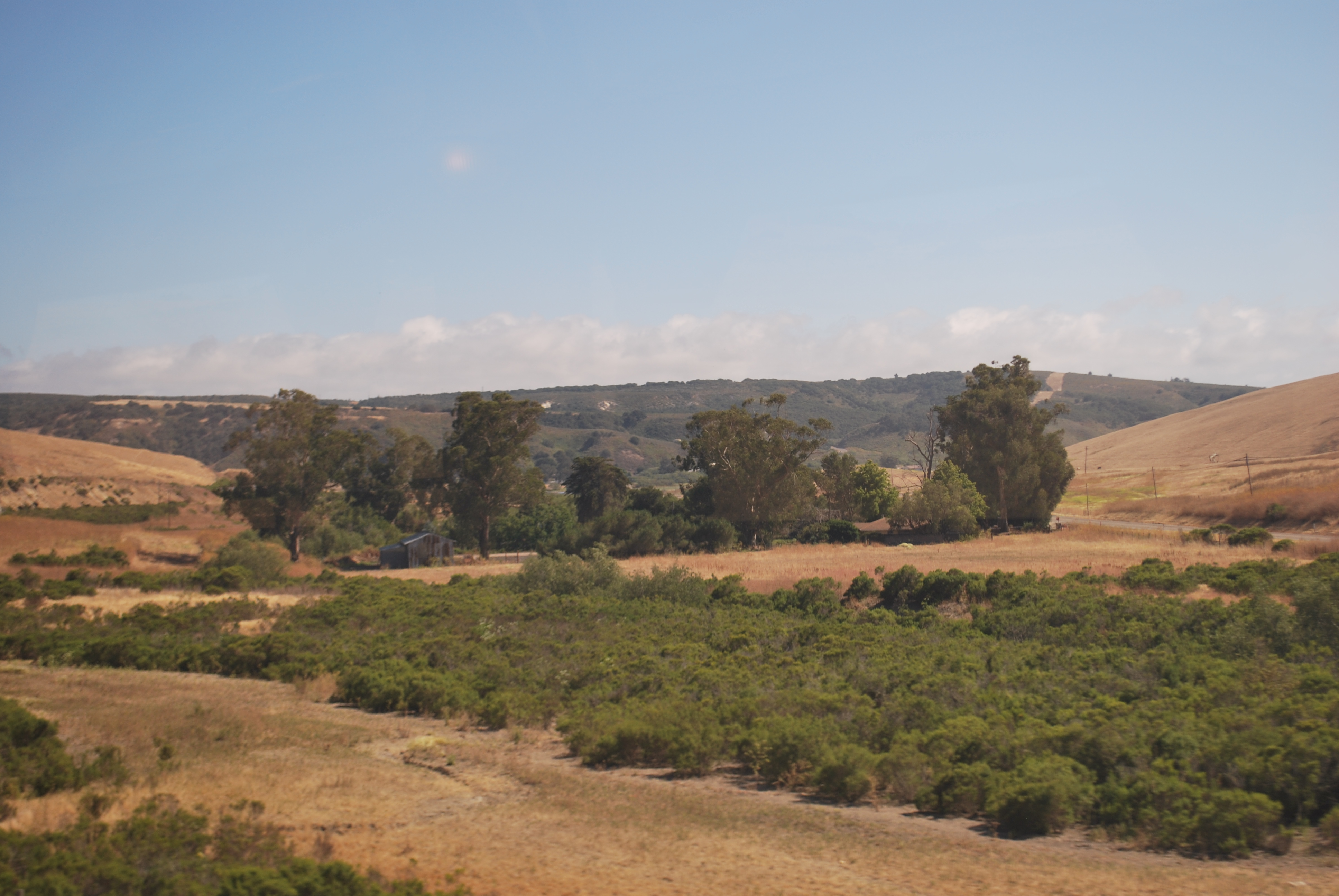
Views from the Amtrak Coast Starlight
Topographic Map of Santa Maria, CA, USA
Find elevation by address:

Places in Santa Maria, CA, USA:
Jones St, Santa Maria, CA, USA
Long Canyon Road
Tepusquet Road
Orcutt Hill Rd, Santa Maria, CA, USA
Stillwell Rd, Santa Maria, CA, USA
Wicks St, Santa Maria, CA, USA
La Brea Ave, Santa Maria, CA, USA
Black Rd, Santa Maria, CA, USA
71 E Main St, Santa Maria, CA, USA
Black Rd, Santa Maria, CA, USA
CA-1, Santa Maria, CA, USA
Twitchell Reservoir
Places near Santa Maria, CA, USA:
Santa Maria Recreation & Parks Department
Vons
223 W Sunset Ave
1502 Marilyn Way
1523 Marilyn Way
1523 Marilyn Way
1502 Marilyn Way
722 Brandy Ct
1850 Lauren Ln
La Brea Ave, Santa Maria, CA, USA
1621 Barolo Pl
1720 Horseman Ct
Jones St, Santa Maria, CA, USA
1565 Betteravia Rd
741 Raymond Ave
Black Rd, Santa Maria, CA, USA
3536 Dakota Dr
71 E Main St, Santa Maria, CA, USA
2301 Black Rd
1152 Hilltop Rd
Recent Searches:
- Elevation of Corso Fratelli Cairoli, 35, Macerata MC, Italy
- Elevation of Tallevast Rd, Sarasota, FL, USA
- Elevation of 4th St E, Sonoma, CA, USA
- Elevation of Black Hollow Rd, Pennsdale, PA, USA
- Elevation of Oakland Ave, Williamsport, PA, USA
- Elevation of Pedrógão Grande, Portugal
- Elevation of Klee Dr, Martinsburg, WV, USA
- Elevation of Via Roma, Pieranica CR, Italy
- Elevation of Tavkvetili Mountain, Georgia
- Elevation of Hartfords Bluff Cir, Mt Pleasant, SC, USA