Elevation of La Brea Ave, Santa Maria, CA, USA
Location: United States > California > Santa Barbara County > Santa Maria >
Longitude: -120.46042
Latitude: 34.9358988
Elevation: 61m / 200feet
Barometric Pressure: 101KPa
Elevation Map:
Satellite Map:
Related Photos:

Straight Rows
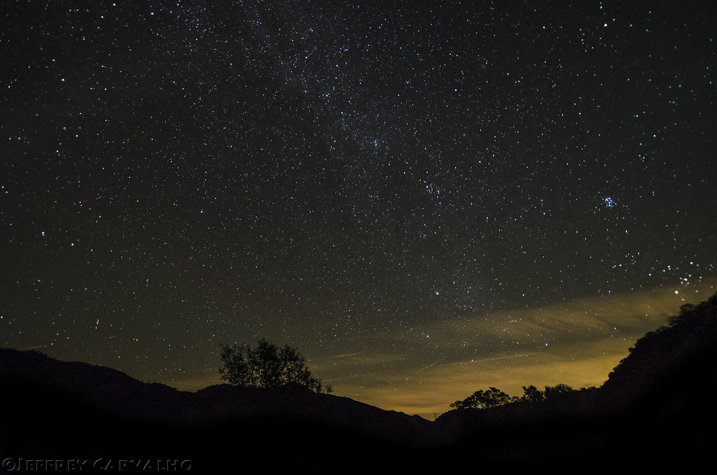
HWY 166 and the Milky Way (Explored Jan 16)

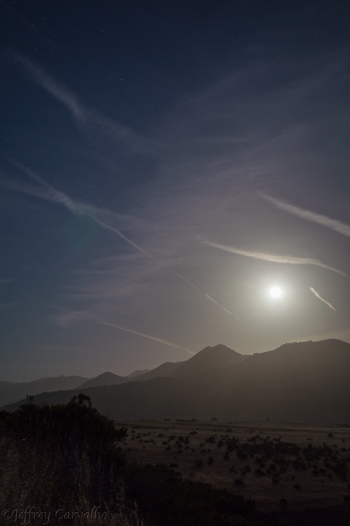
Full Moon 166
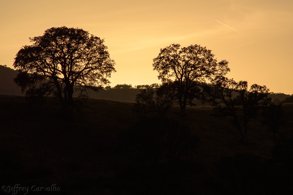
Golden Tree
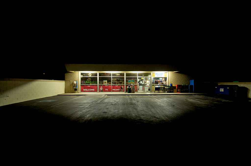
Melody Market
From out Behind

Items for Jenny to choose from!

Aren't I cute!

EC's Views on Photography

Thompson Road Windmill
Spartus Full-Vue
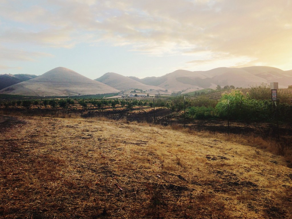
Morning views #nofilter #centralcoastsunrise
2013-02-26_12-53-25_474
Los Angeles & San Diego 059

Lavigna Panorama View
Dirty Pass
Guadalupe California
Random stop.

Bell’s Vireo (Vireo bellii)
2016 PHOTOCHALLENGE WEEK 2: VIEW FROM UNDER THE BRIDGE – HDR

Indigo Bunting (Passerina cyanea)
Big Red Barn
Excuse Me While I Kiss The Sky
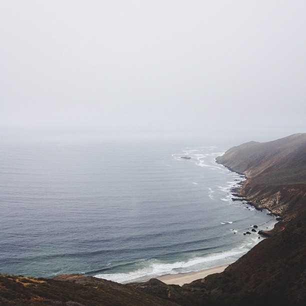
That Pacific Ocean!
Withering Tires
Pictures by monicag13

Gwen and Wardrum, no filter

08072012-2012-07-08 13.45.28
Guadalupe Beach, CA

Squeezing in that last hole. #golf #imouttabeer
AIDS/LifeCycle
Pictures by monicag13
Point Sal, CA. Have you made it out here yet @jacobleewick?
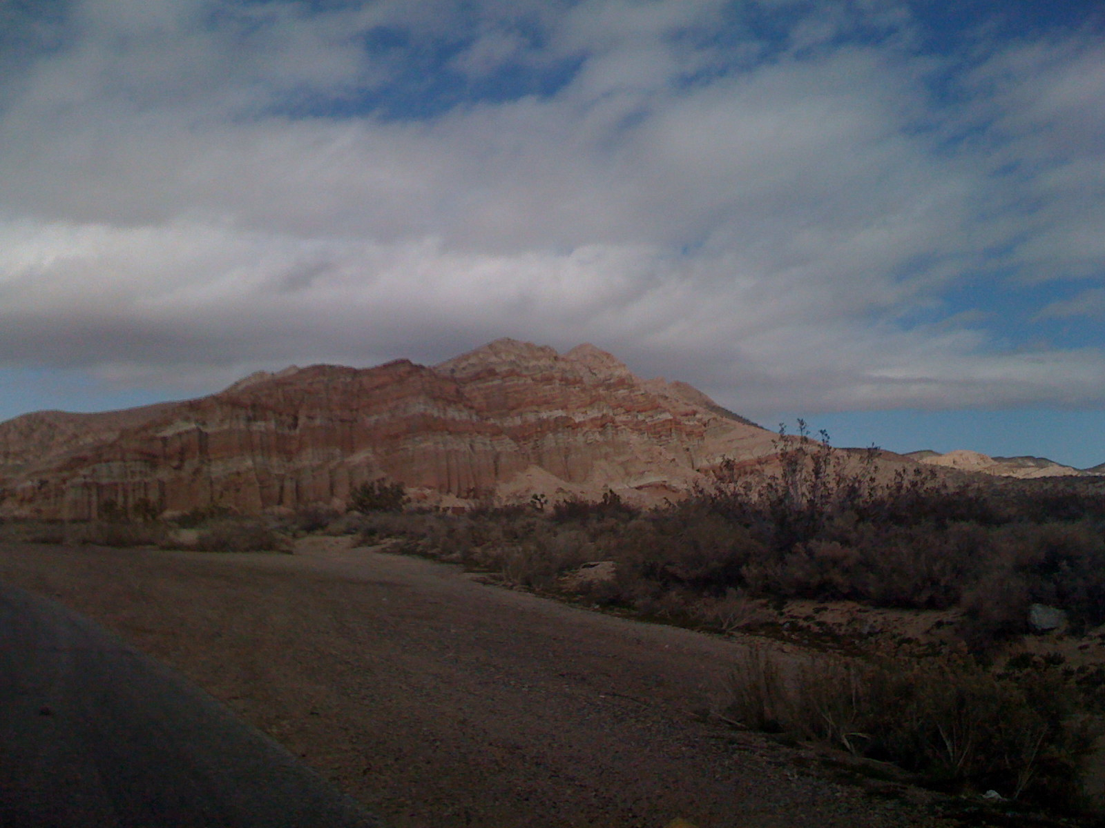
Red Rocks Canyon 3
Gorgeous sunset tonight! Such pretty colors over the ocean....
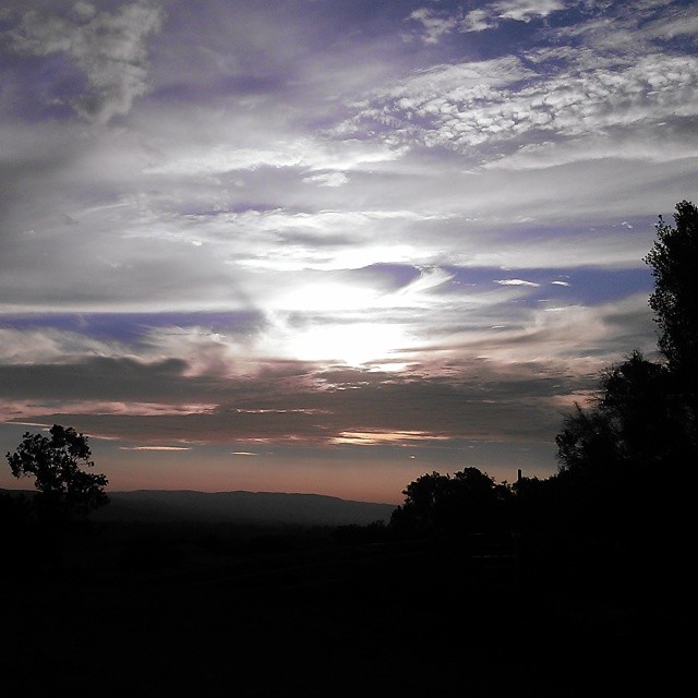
Nipomo Sunrise
Topographic Map of La Brea Ave, Santa Maria, CA, USA
Find elevation by address:

Places near La Brea Ave, Santa Maria, CA, USA:
1621 Barolo Pl
1565 Betteravia Rd
Santa Maria Recreation & Parks Department
Black Rd, Santa Maria, CA, USA
Santa Maria
2301 Black Rd
223 W Sunset Ave
Vons
741 Raymond Ave
1502 Marilyn Way
3536 Dakota Dr
1502 Marilyn Way
1523 Marilyn Way
1523 Marilyn Way
722 Brandy Ct
1850 Lauren Ln
4389 Kris Dr
1720 Horseman Ct
1152 Hilltop Rd
Jones St, Santa Maria, CA, USA
Recent Searches:
- Elevation of Côte-des-Neiges, Montreal, QC H4A 3J6, Canada
- Elevation of Bobcat Dr, Helena, MT, USA
- Elevation of Zu den Ihlowbergen, Althüttendorf, Germany
- Elevation of Badaber, Peshawar, Khyber Pakhtunkhwa, Pakistan
- Elevation of SE Heron Loop, Lincoln City, OR, USA
- Elevation of Slanický ostrov, 01 Námestovo, Slovakia
- Elevation of Spaceport America, Co Rd A, Truth or Consequences, NM, USA
- Elevation of Warwick, RI, USA
- Elevation of Fern Rd, Whitmore, CA, USA
- Elevation of 62 Abbey St, Marshfield, MA, USA