Elevation of Stansbury Dr, Santa Maria, CA, USA
Location: United States > California > Santa Barbara County > Santa Maria >
Longitude: -120.43814
Latitude: 34.869767
Elevation: 109m / 358feet
Barometric Pressure: 100KPa
Elevation Map:
Satellite Map:
Related Photos:

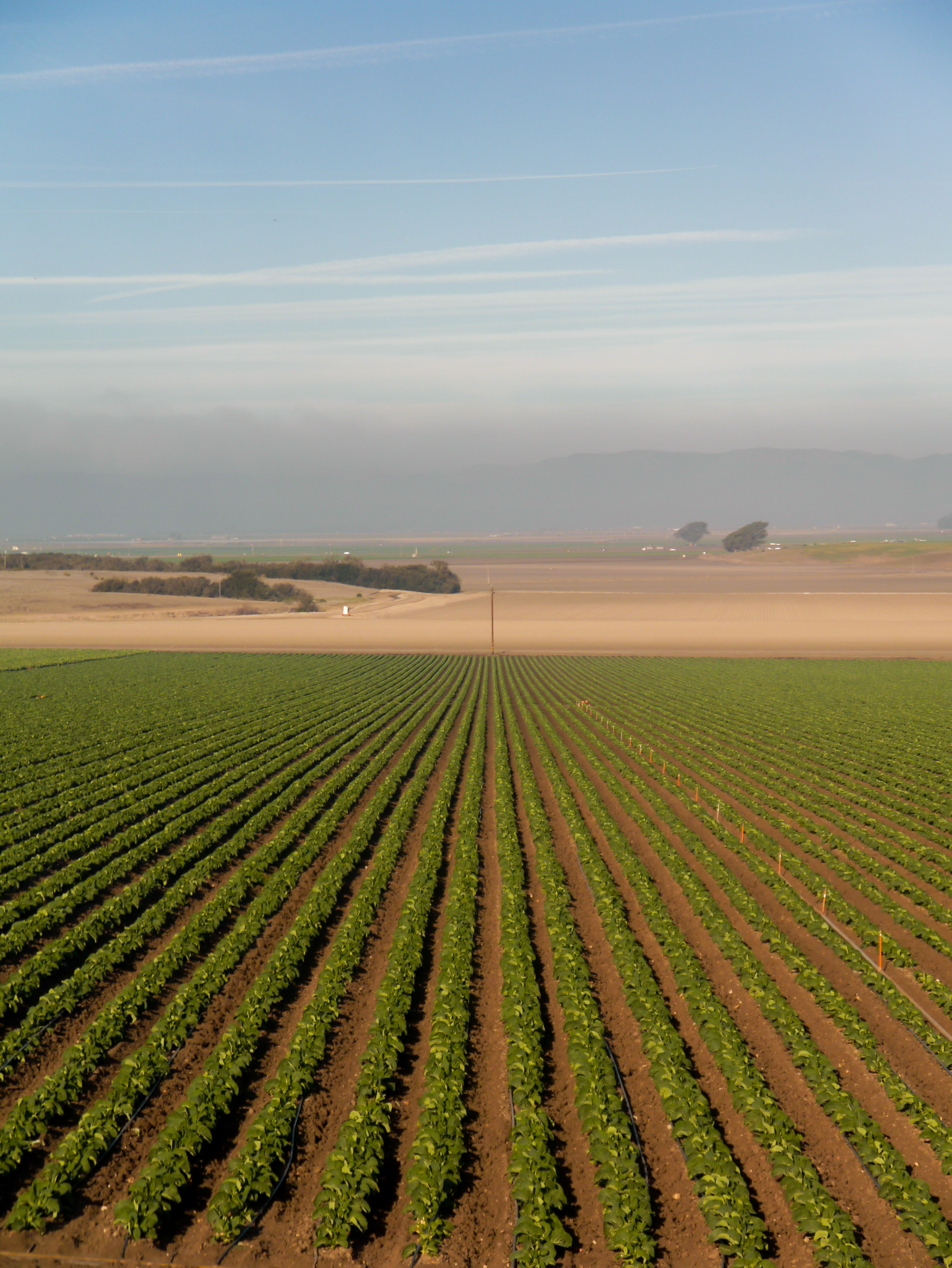
Straight Rows

NASA's OCO-2 satellite launch tonight had to be rescheduled 24 hours due to a cooling system issue. "@IamOCO2: So disappointed that we didn't go. Same time same place tomorrow folks! _#OCO2"_#NASASocial#
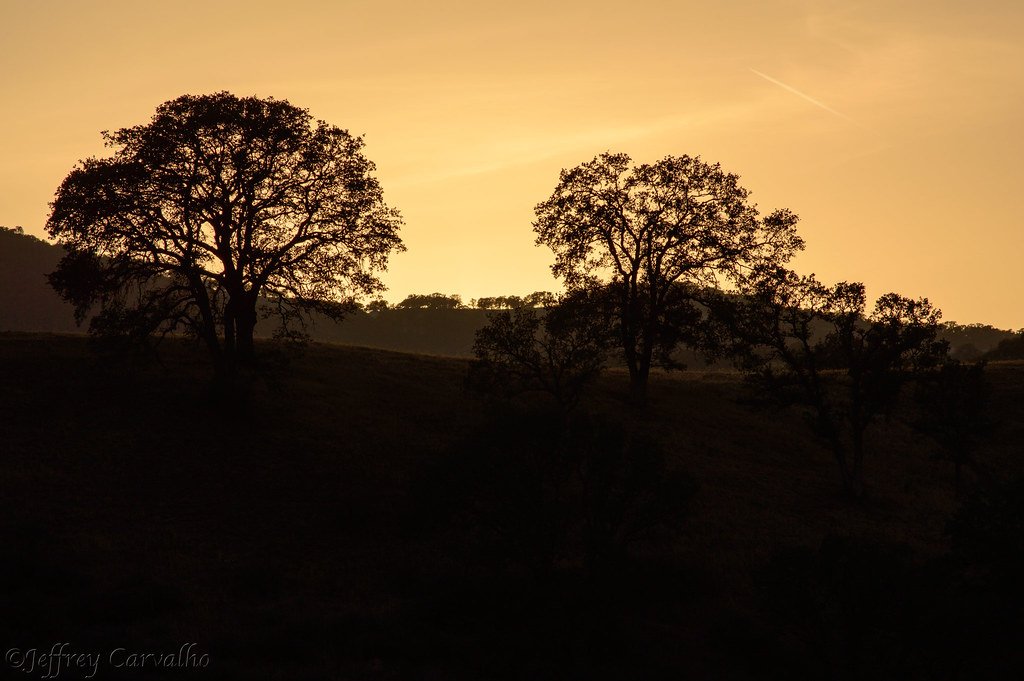
Golden Tree
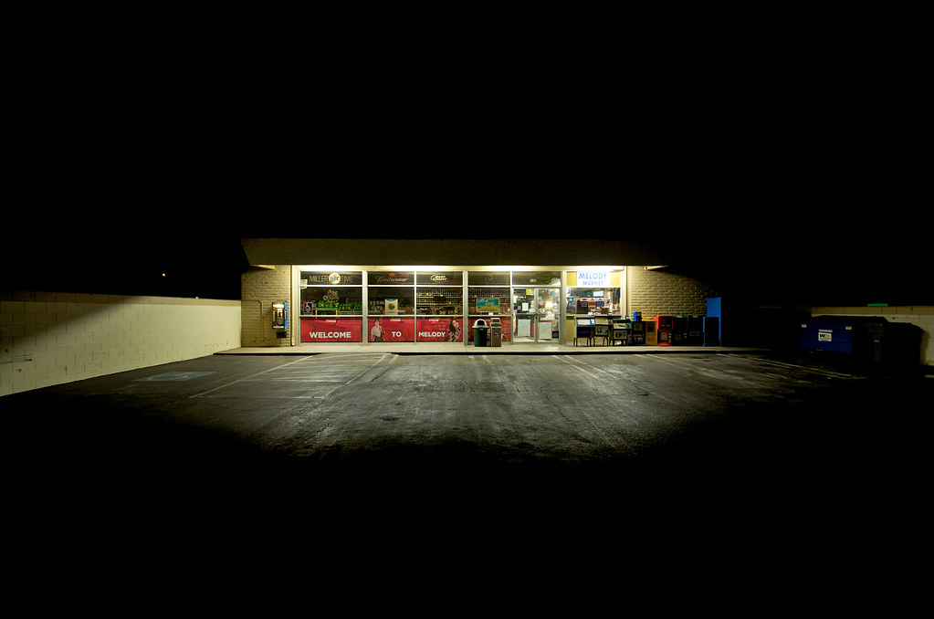
Melody Market

Items for Jenny to choose from!

Thompson Road Windmill
2013-02-26_12-53-25_474
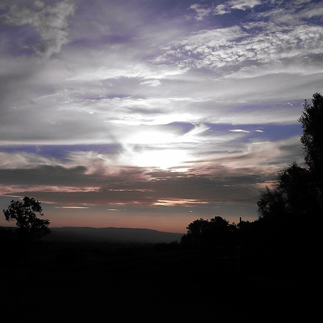
Morning views #nofilter #centralcoastsunrise
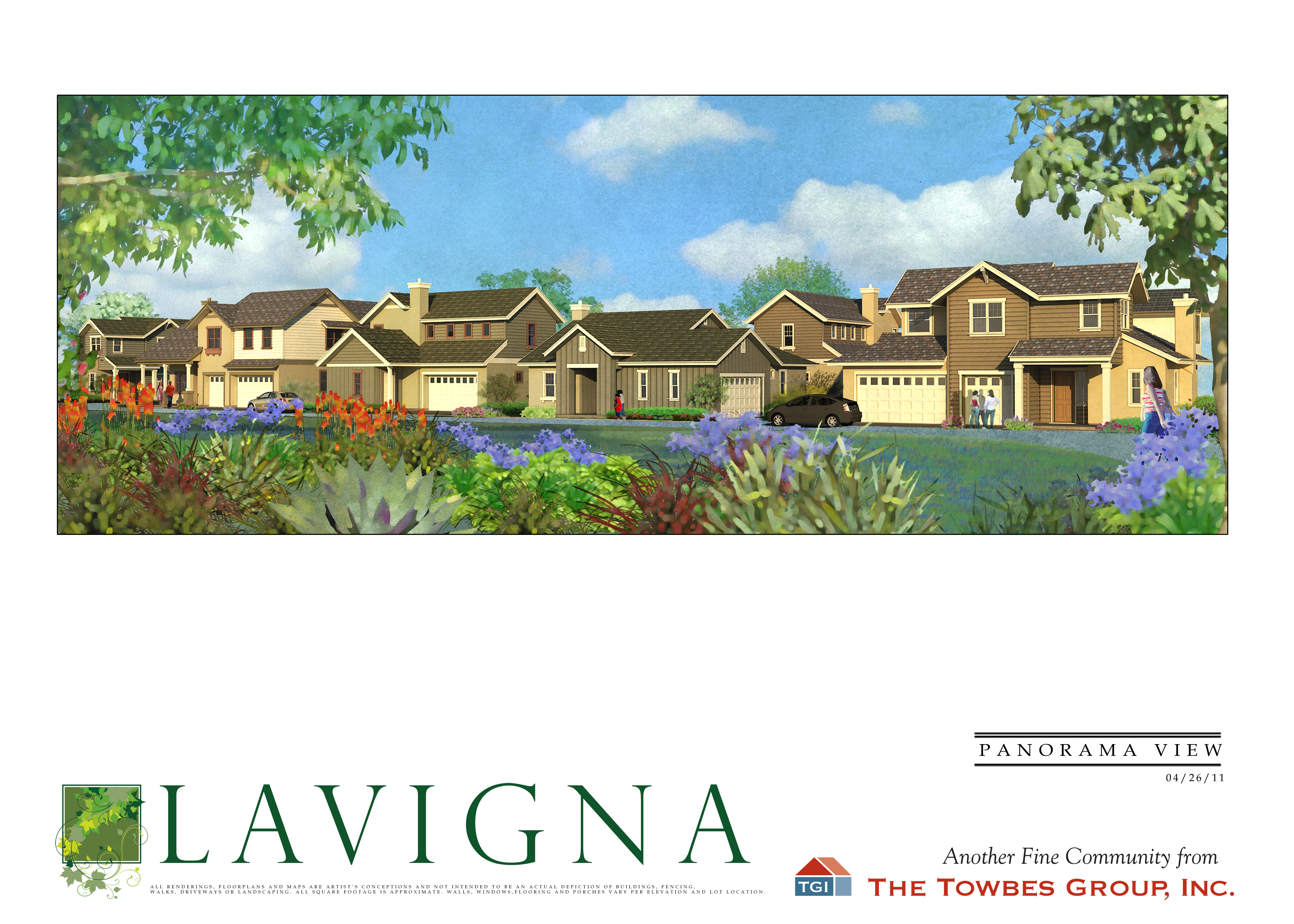
Lavigna Panorama View
Los Angeles & San Diego 059
Dirty Pass
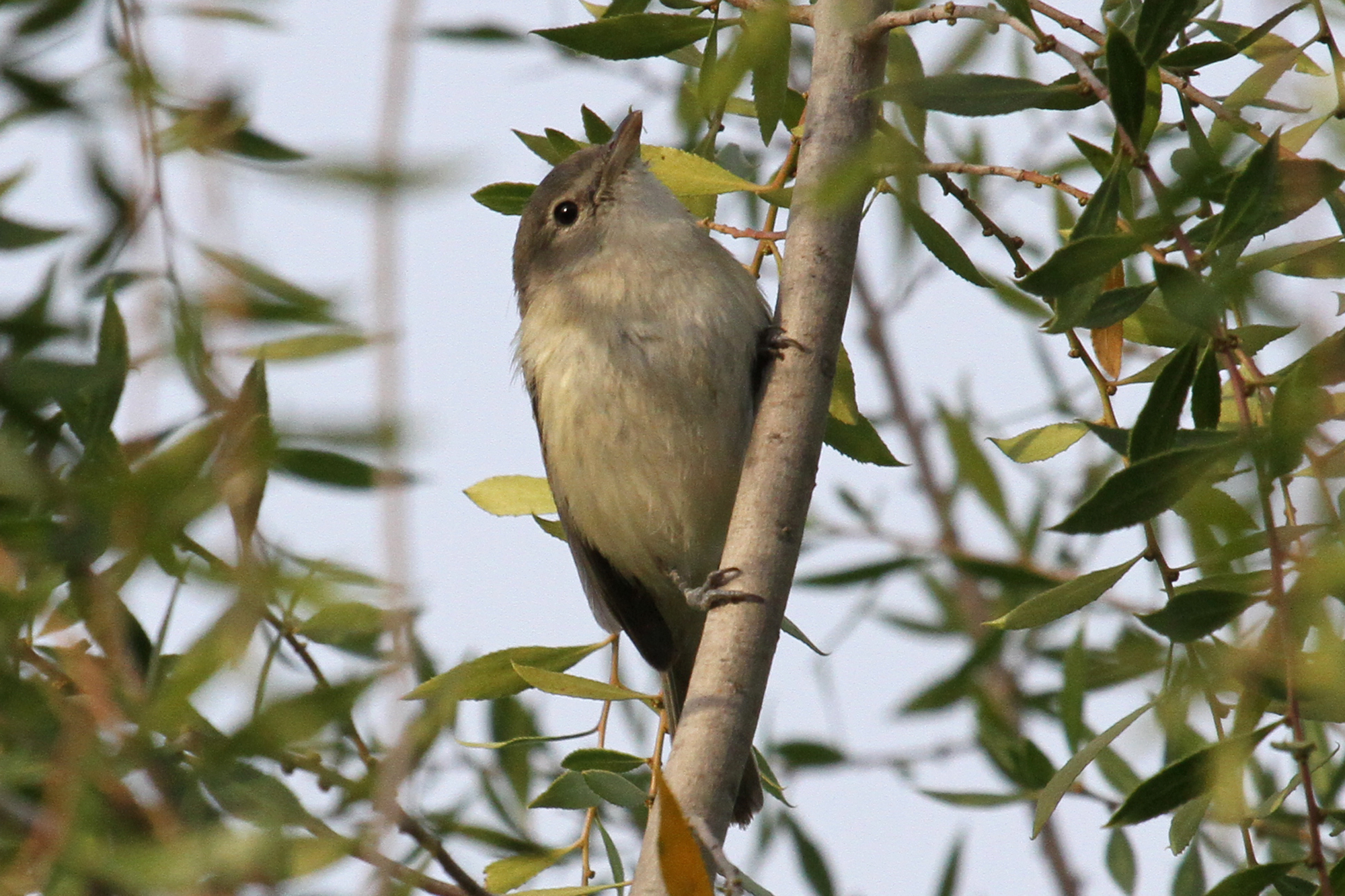
Bell’s Vireo (Vireo bellii)
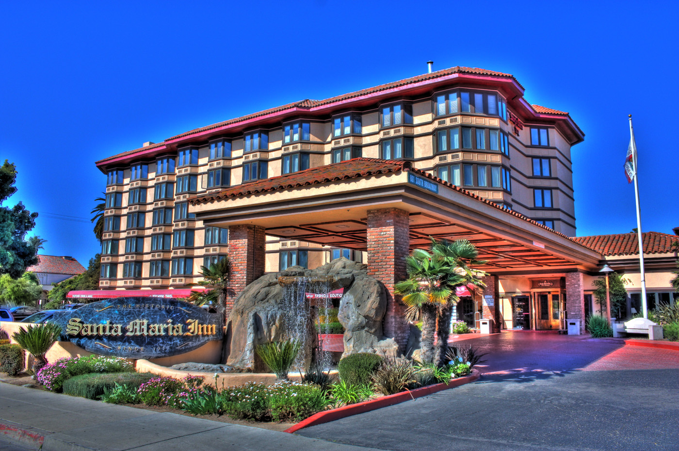
Santa Maria Inn
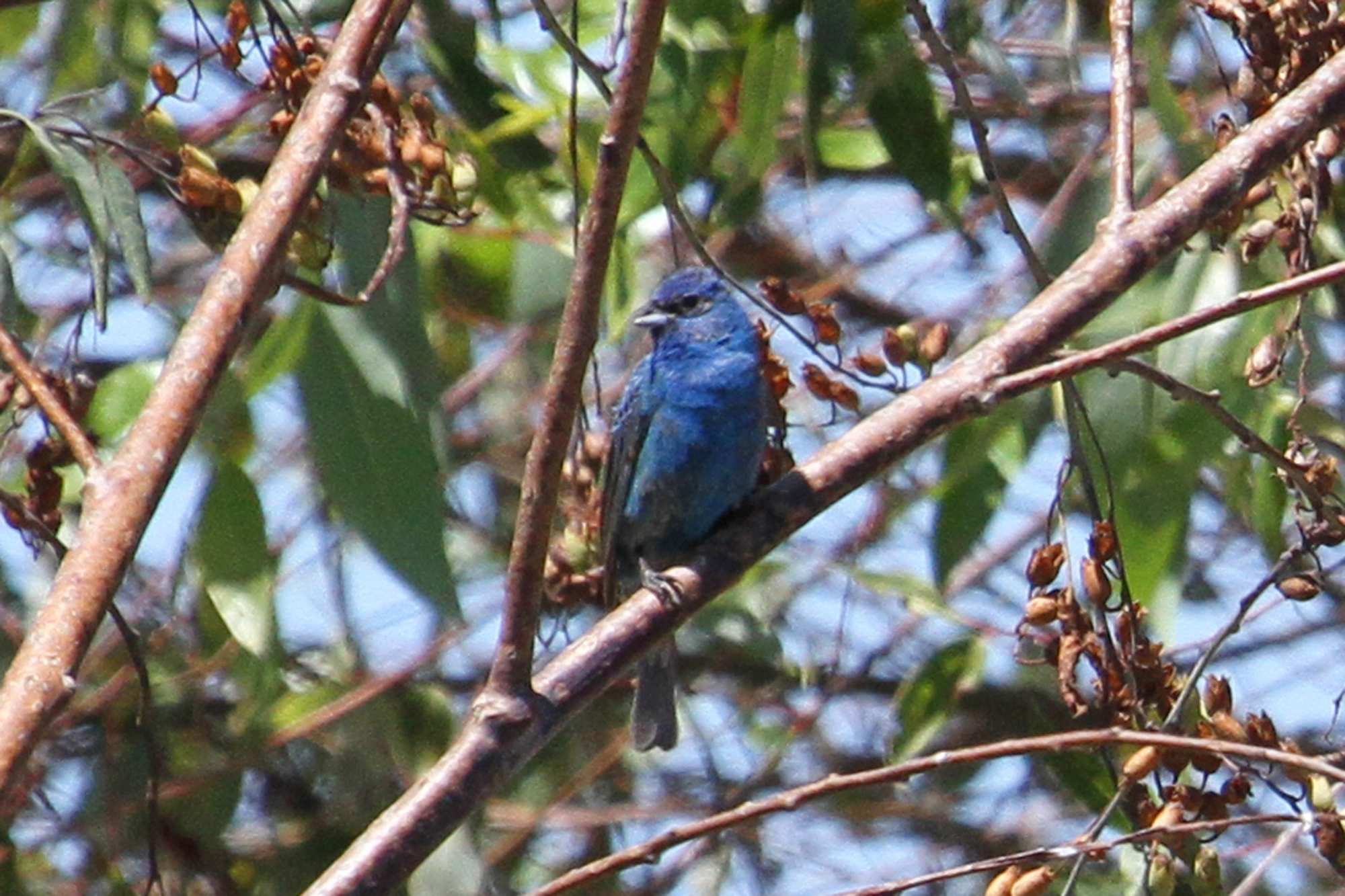
Indigo Bunting (Passerina cyanea)
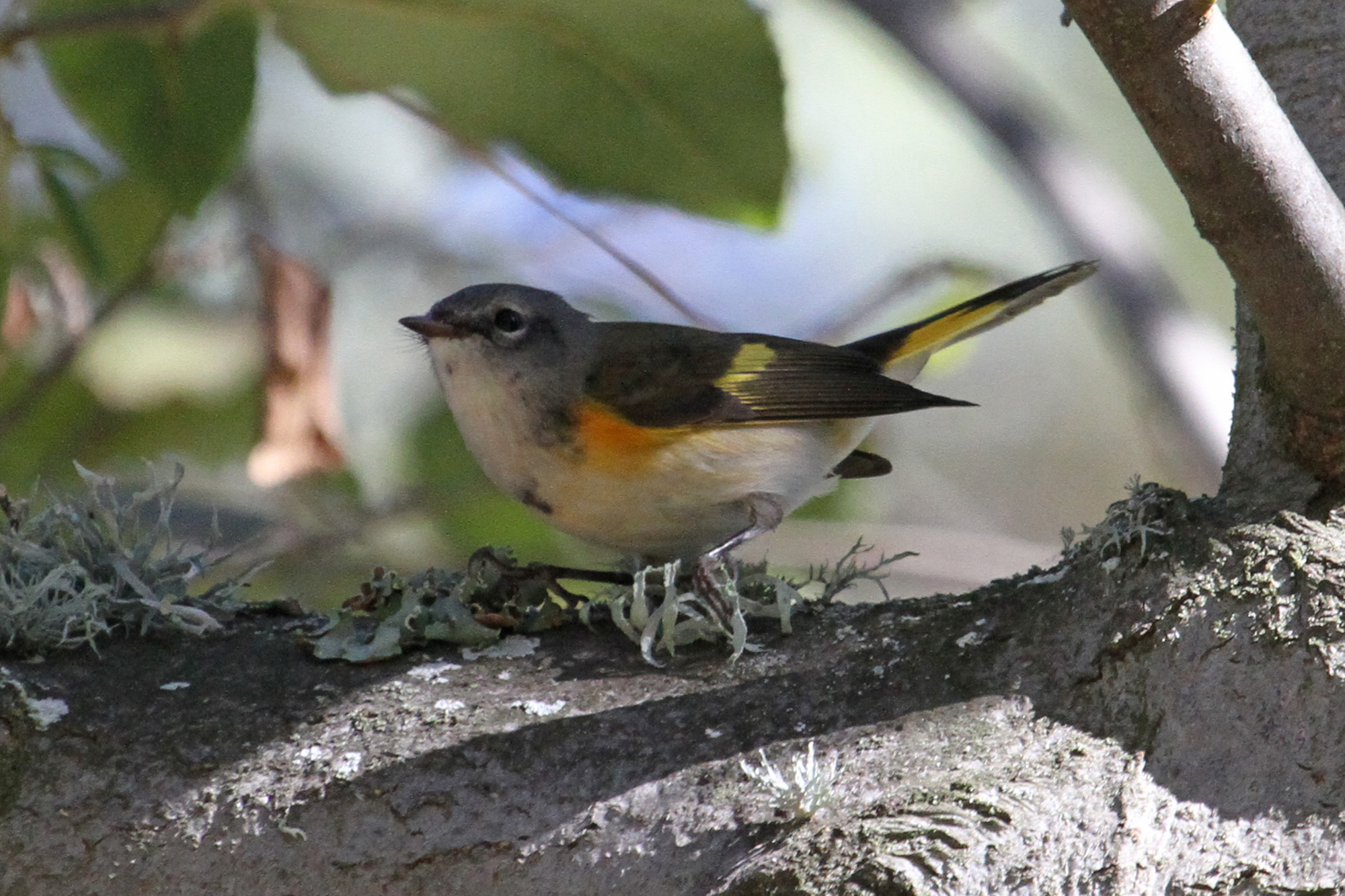
American Redstart (Setophaga ruticilla)
Similar, but Not the Same?
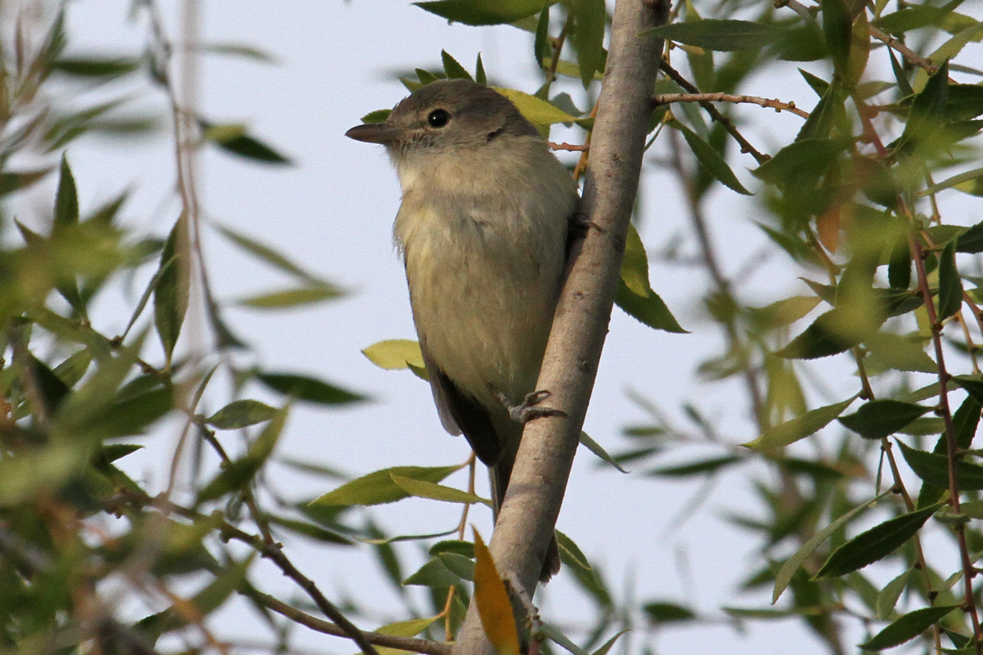
Bell’s Vireo (Vireo bellii)
santa maria
Balcony View
Bell’s Vireo (Vireo bellii)
Day 5 - Red Dress Day, hill climbing
Color For Peggy
Pictures by monicag13
Excuse Me While I Kiss The Sky
Gwen and Wardrum, no filter
Before The Haze Burns Off
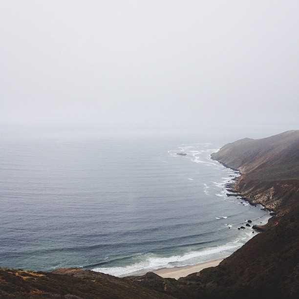
That Pacific Ocean!

Pictures by monicag13
Red Rocks Canyon 3
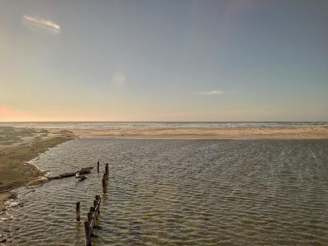
Point Sal, CA. Have you made it out here yet @jacobleewick?
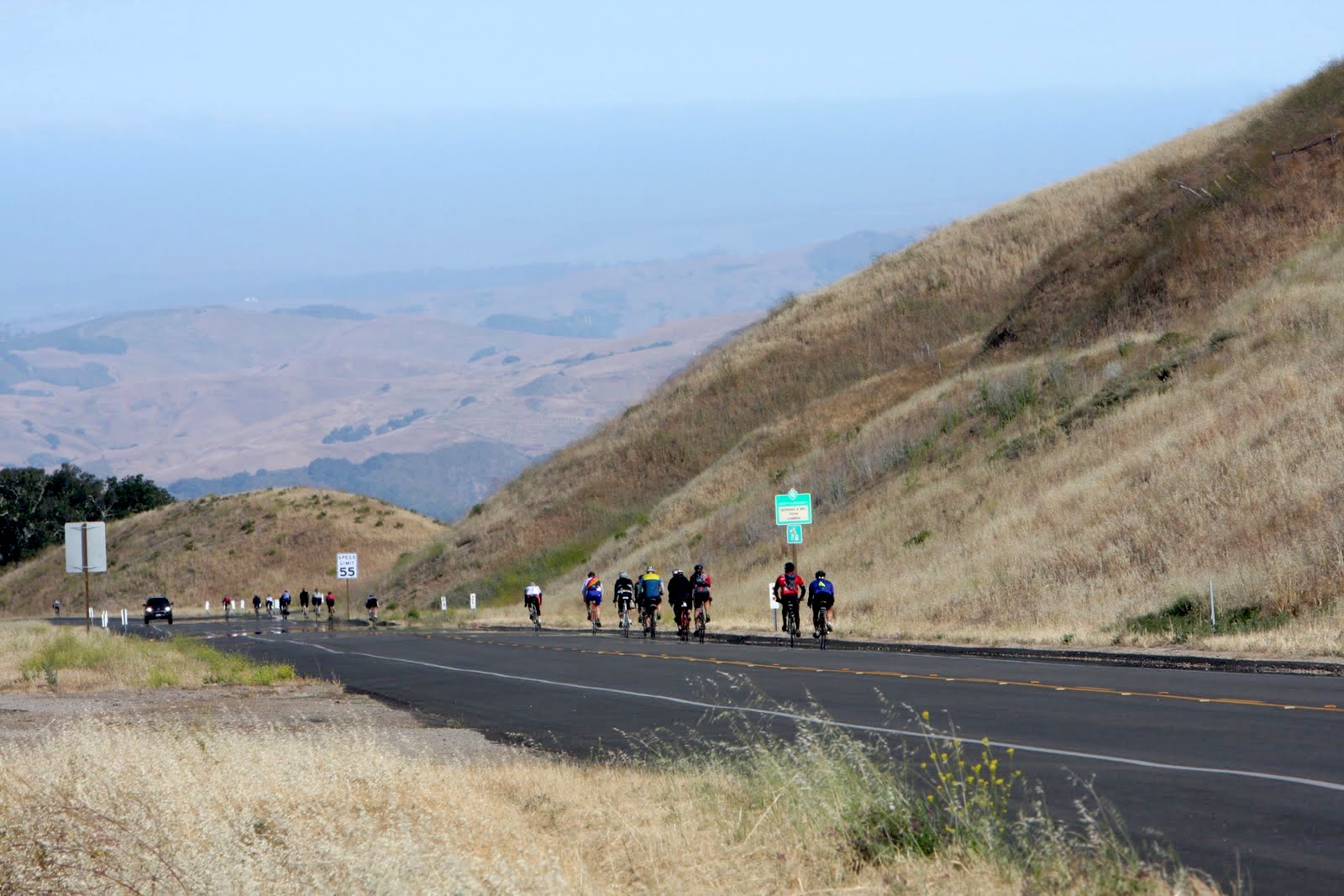
AIDS/LifeCycle
Gorgeous sunset tonight! Such pretty colors over the ocean....

Vineyards of Santa Barbara County
Views from the lounge car. #amtrak #california #beach #nature #travel
Row crops
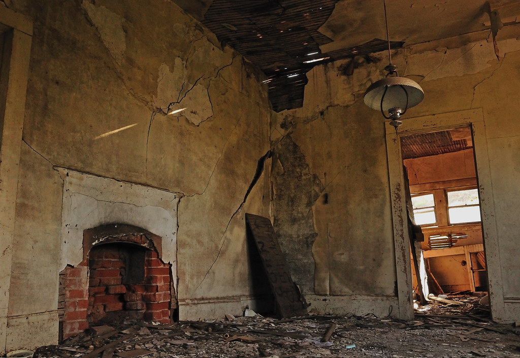
This Old House
Home.
Good morning beautiful flying day
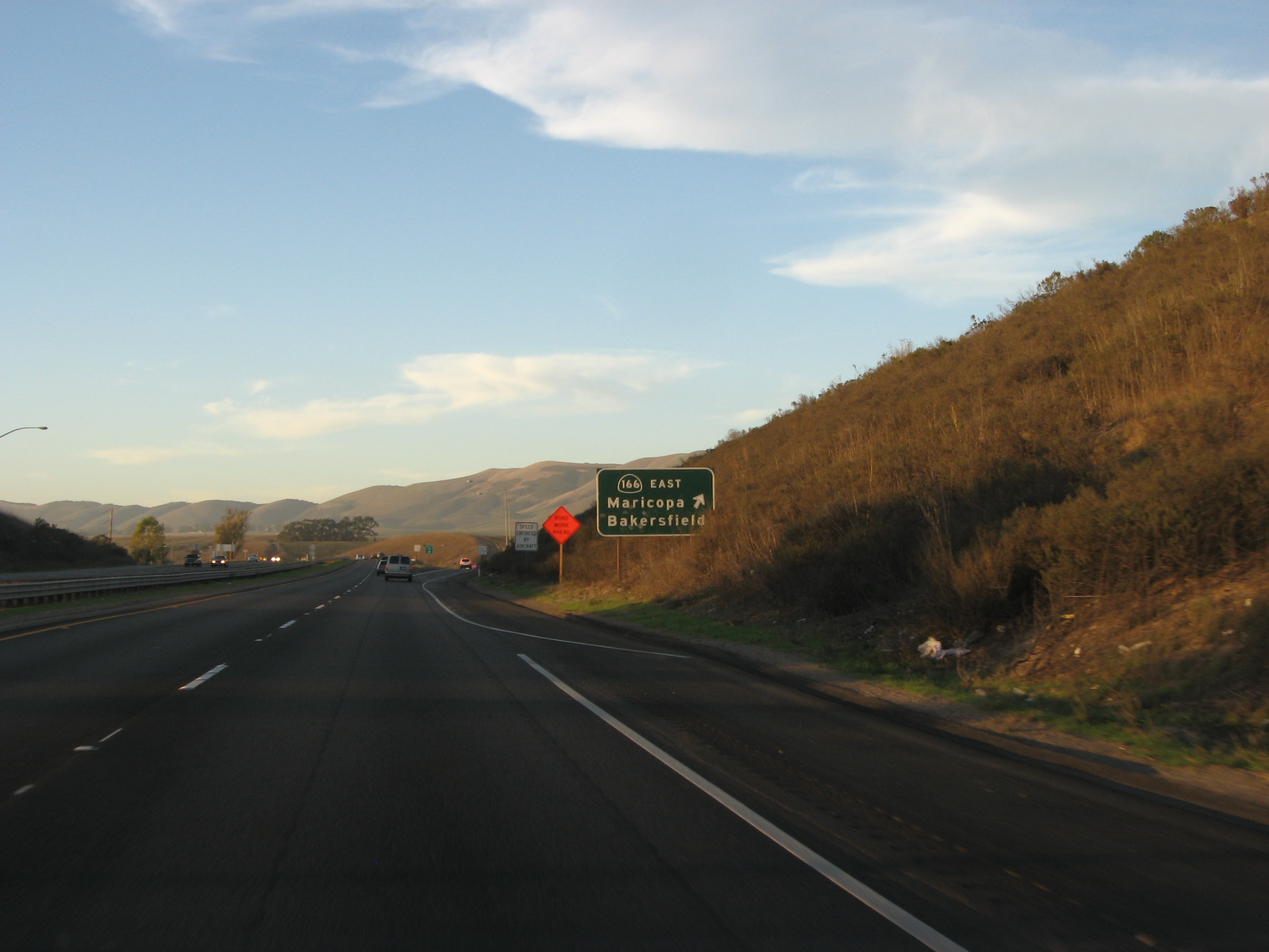
Junction of S.R. 166 and U.S. 101, north of Santa Maria, California
Topographic Map of Stansbury Dr, Santa Maria, CA, USA
Find elevation by address:

Places near Stansbury Dr, Santa Maria, CA, USA:
Orcutt
Champion Real Estate
4845 S Bradley Rd
4389 Kris Dr
5702 Paige Ct
1145 Via Pavion
1152 Hilltop Rd
4421 Boardwalk Ln
1276 Hollysprings Ln
3536 Dakota Dr
741 Raymond Ave
Stillwell Rd, Santa Maria, CA, USA
1565 Betteravia Rd
1621 Barolo Pl
Orcutt Hill Rd, Santa Maria, CA, USA
La Brea Ave, Santa Maria, CA, USA
2301 Black Rd
Santa Maria Recreation & Parks Department
1502 Marilyn Way
1502 Marilyn Way
Recent Searches:
- Elevation of E Brightview Ave, Pittsburgh, PA, USA
- Elevation of Cavendish Rd, Harringay Ladder, London N4 1RR, UK
- Elevation of 1 Zion Park Blvd, Springdale, UT, USA
- Elevation of Ganderbal
- Elevation map of Konkan Division, Maharashtra, India
- Elevation of Netaji Nagar, Hallow Pul, Kurla, Mumbai, Maharashtra, India
- Elevation of Uralsk, Kazakhstan
- Elevation of 45- Kahana Dr, Honokaa, HI, USA
- Elevation of New Mexico 30, NM-30, Española, NM, USA
- Elevation of Santmyer Way, Charles Town, WV, USA