Elevation of CHAMPION Real Estate, Orcutt, CA, S 1st St, Santa Maria, CA, USA
Location: United States > California > Santa Barbara County > Orcutt >
Longitude: -120.44612
Latitude: 34.8636863
Elevation: 103m / 338feet
Barometric Pressure: 100KPa
Elevation Map:
Satellite Map:
Related Photos:

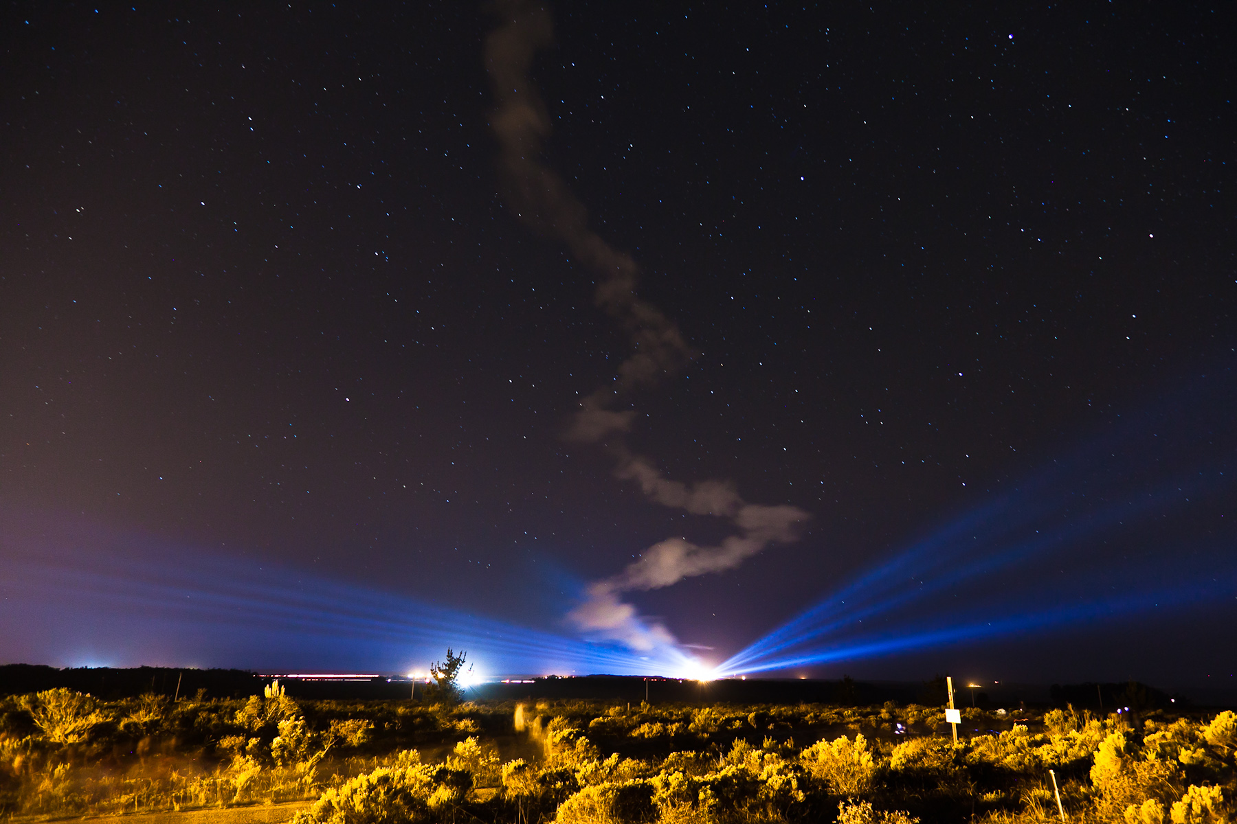
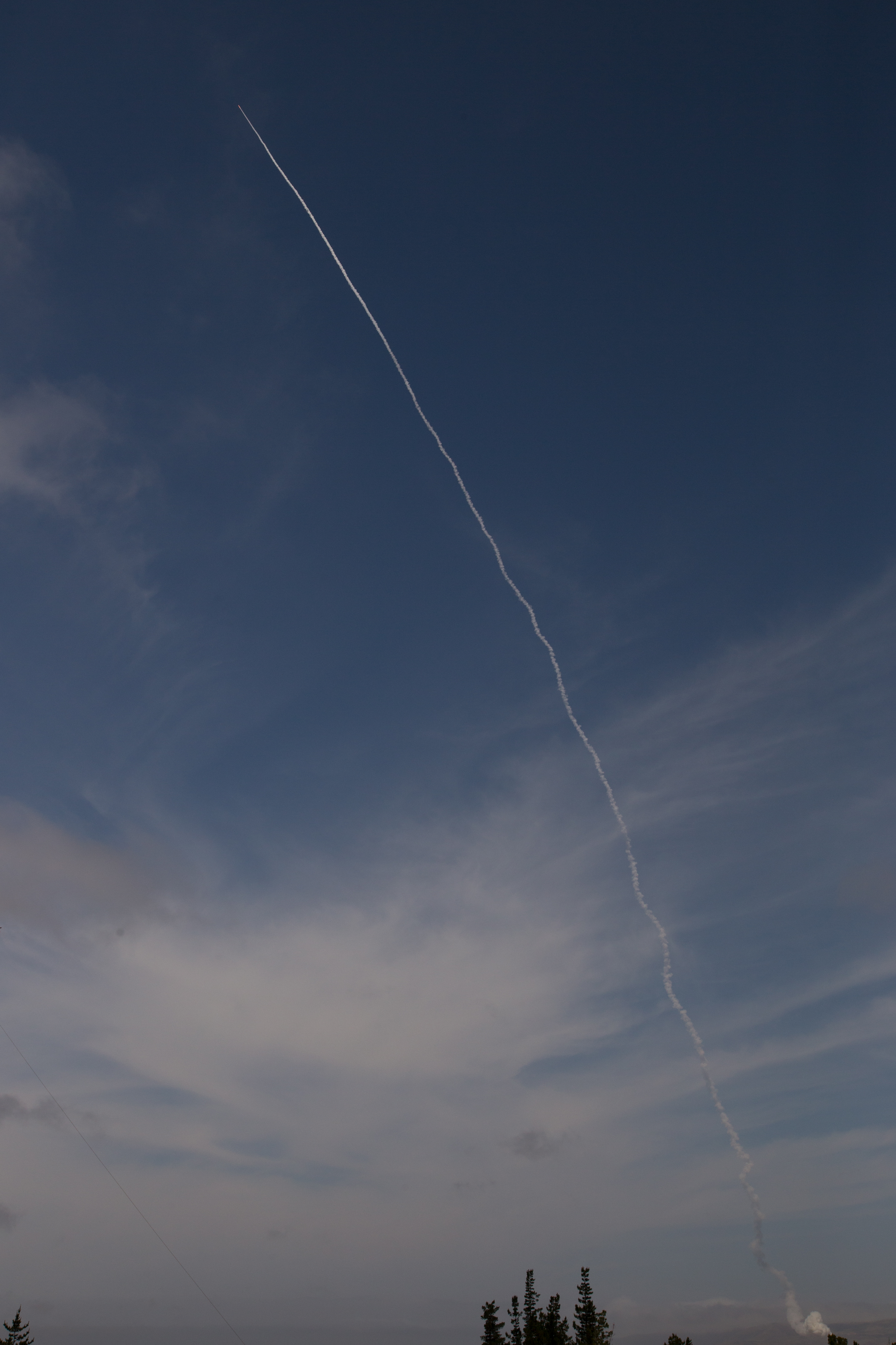
NASA's OCO-2 satellite launch tonight had to be rescheduled 24 hours due to a cooling system issue. "@IamOCO2: So disappointed that we didn't go. Same time same place tomorrow folks! _#OCO2"_#NASASocial#
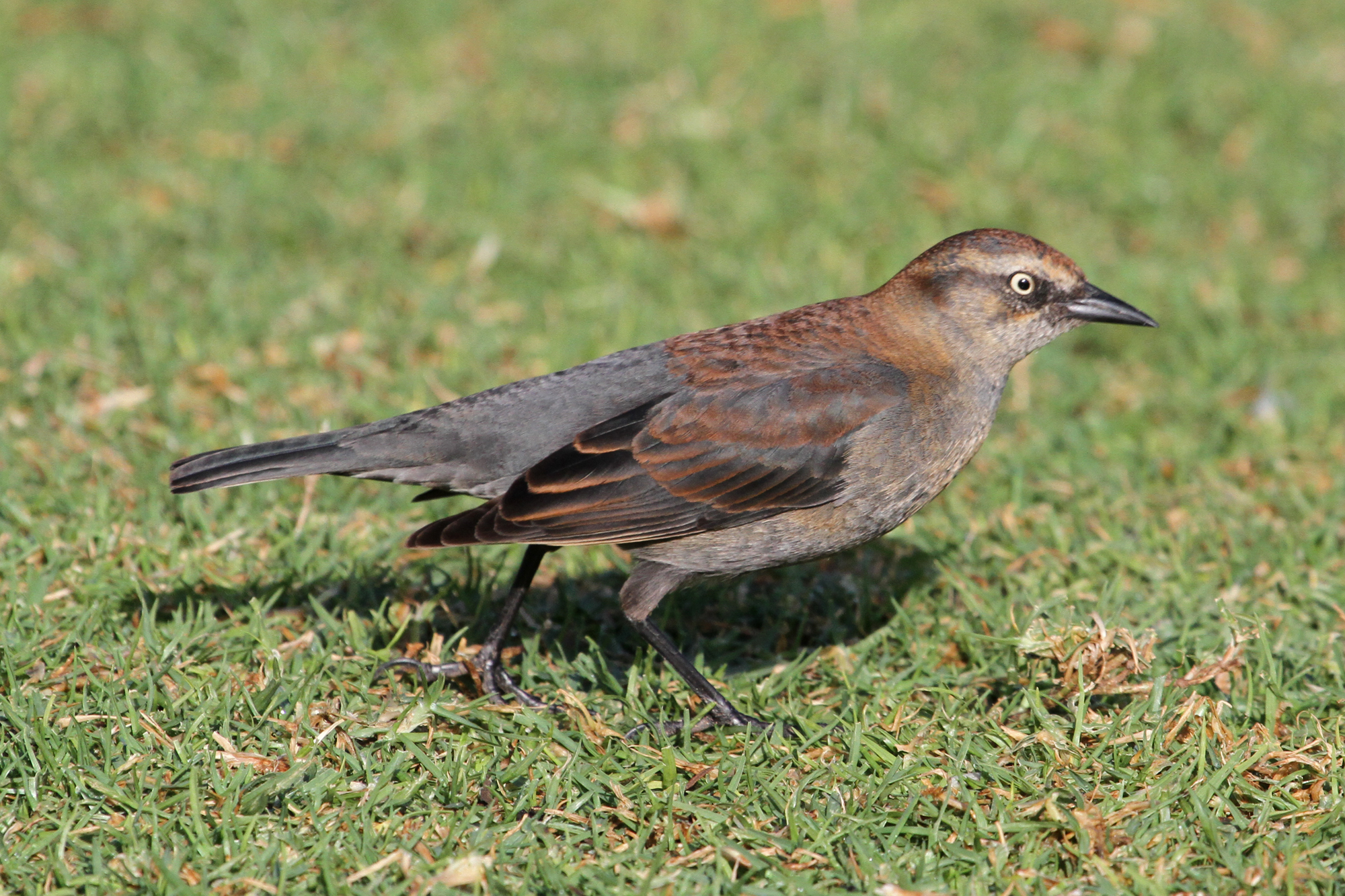
Rusty Blackbird (Euphagus carolinus)
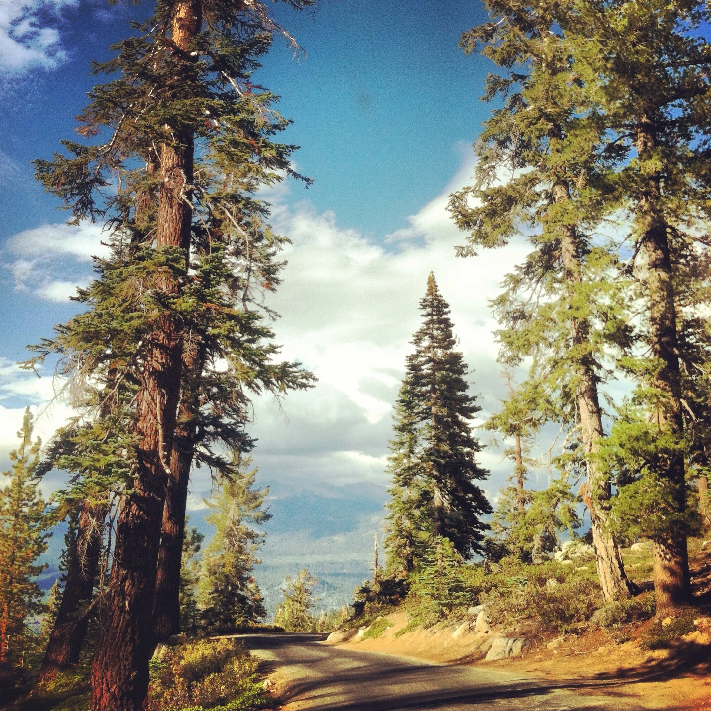
Day 5 - Red Dress Day, hill climbing
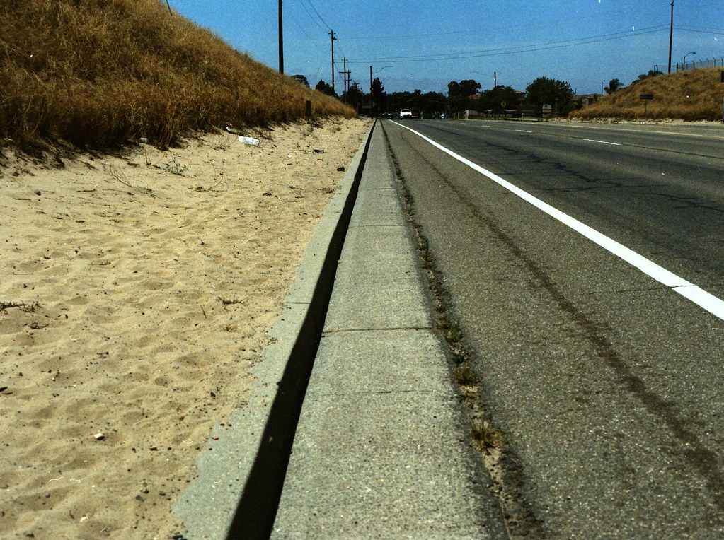
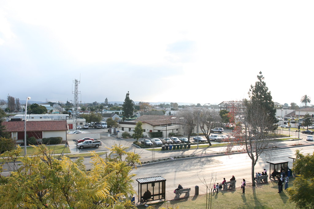
street view
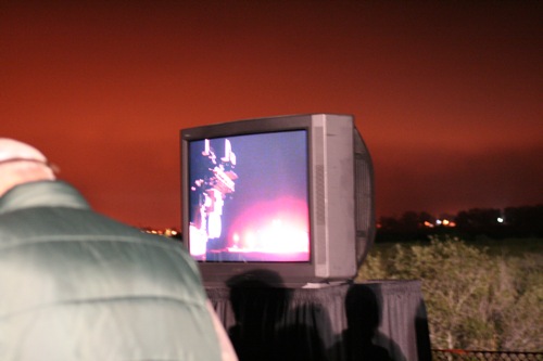
View of the launch
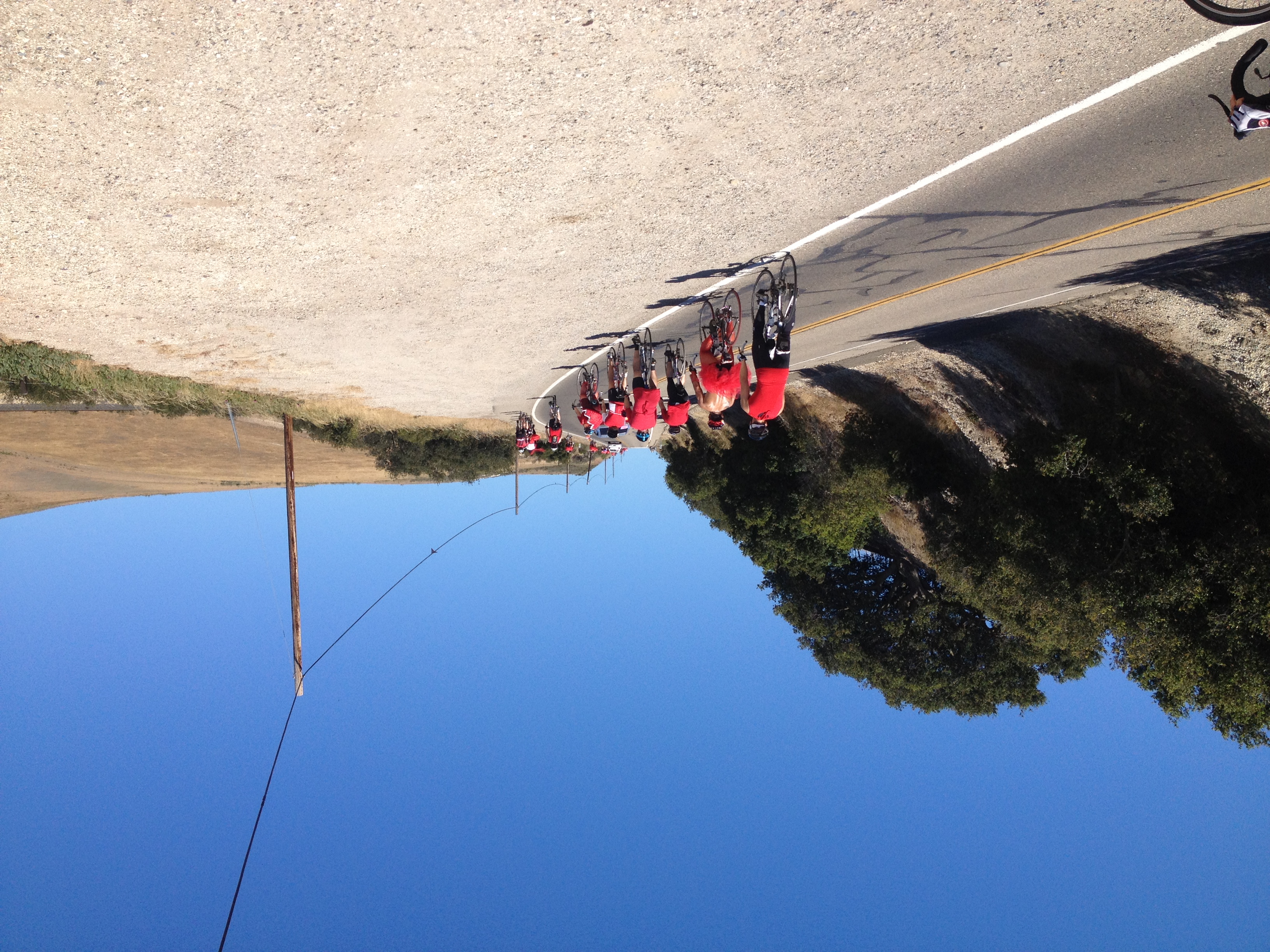
Day 5 - Red Dress Day, hill climbing

The Love Bug?...

Straight Rows
Ad Astra
Golden Tree

Thompson Road Windmill
Dirty Pass
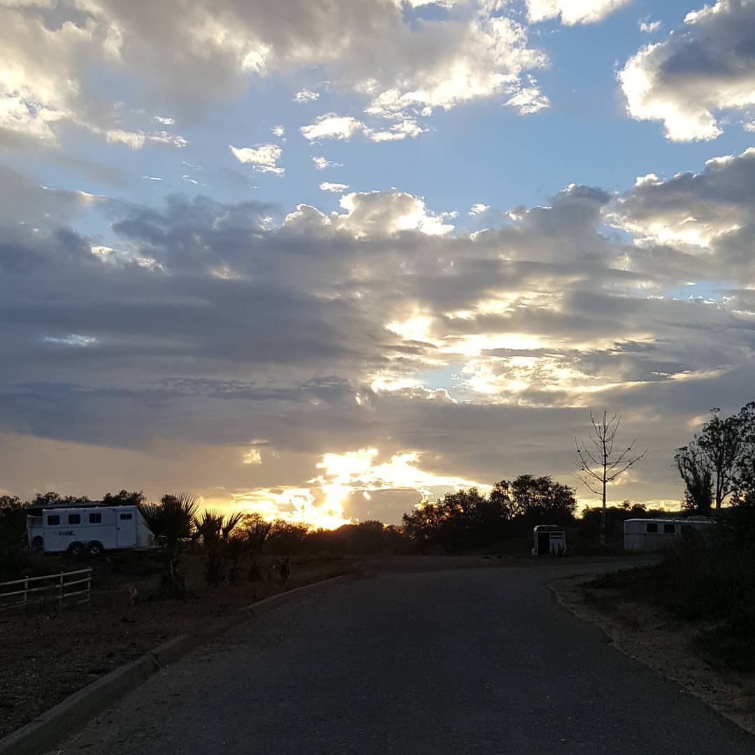
Morning views #nofilter #centralcoastsunrise
2013-02-26_12-53-25_474
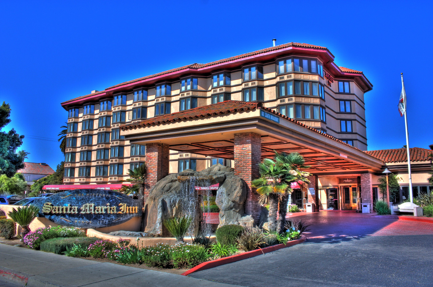
Santa Maria Inn
Los Angeles & San Diego 059
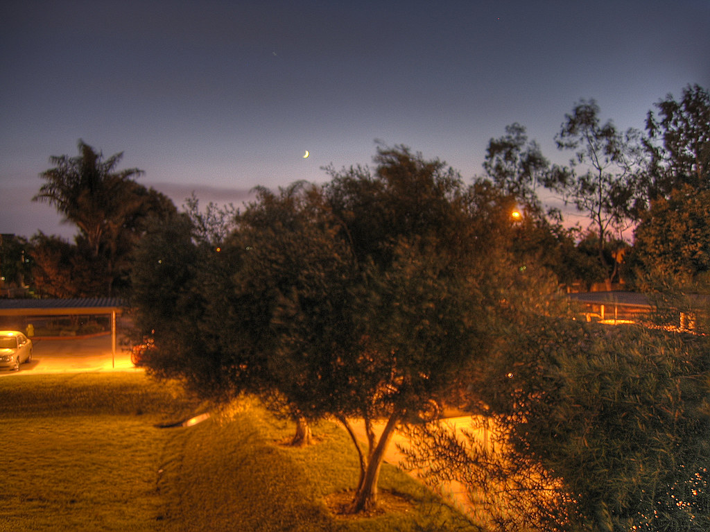
night view
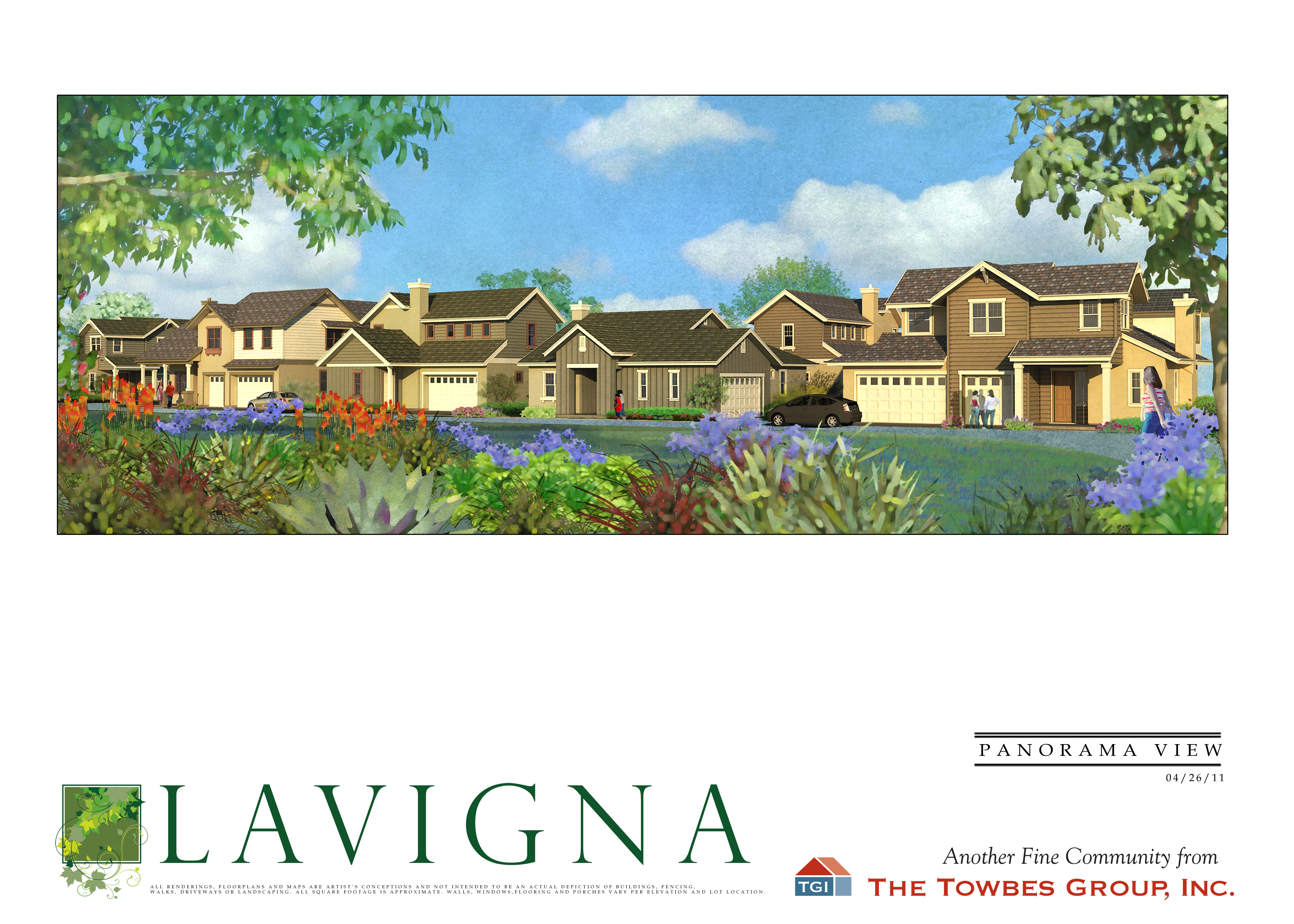
Lavigna Panorama View
Views from the lounge car. #amtrak #california #beach #nature #travel
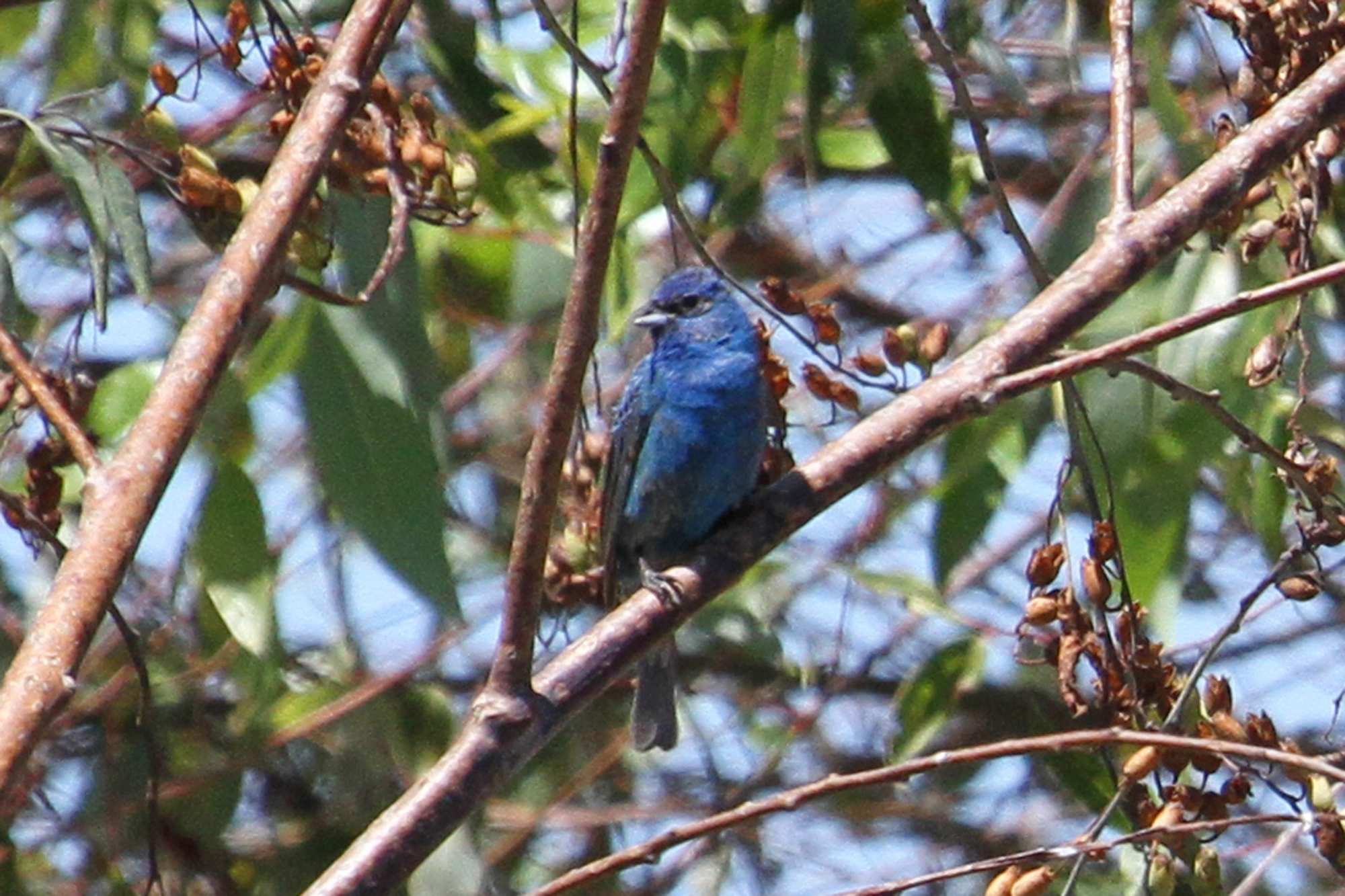
Indigo Bunting (Passerina cyanea)
santa maria
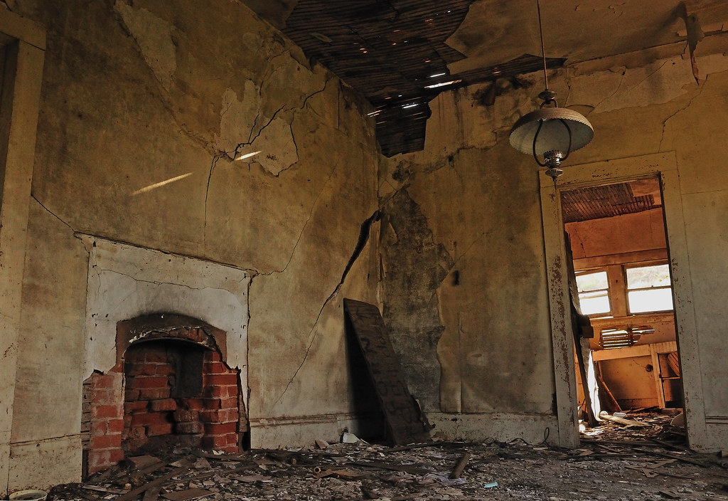
This Old House

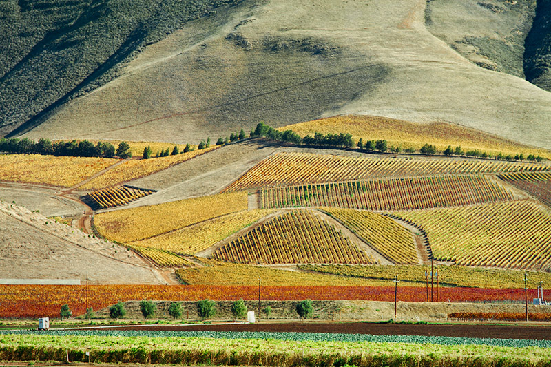
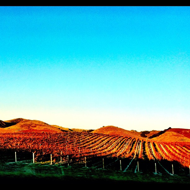
Vineyards of Santa Barbara County
Vineyard Patterns
From #city #life to #country #living and #cows

< North 101 >
Pictures by monicag13
101 FTW
Santa Paula SZP to San Luis Obispo SBP
Gwen and Wardrum, no filter
Interceptor Missile
Excuse Me While I Kiss The Sky

62771021_56339820121225-18069-vjupus
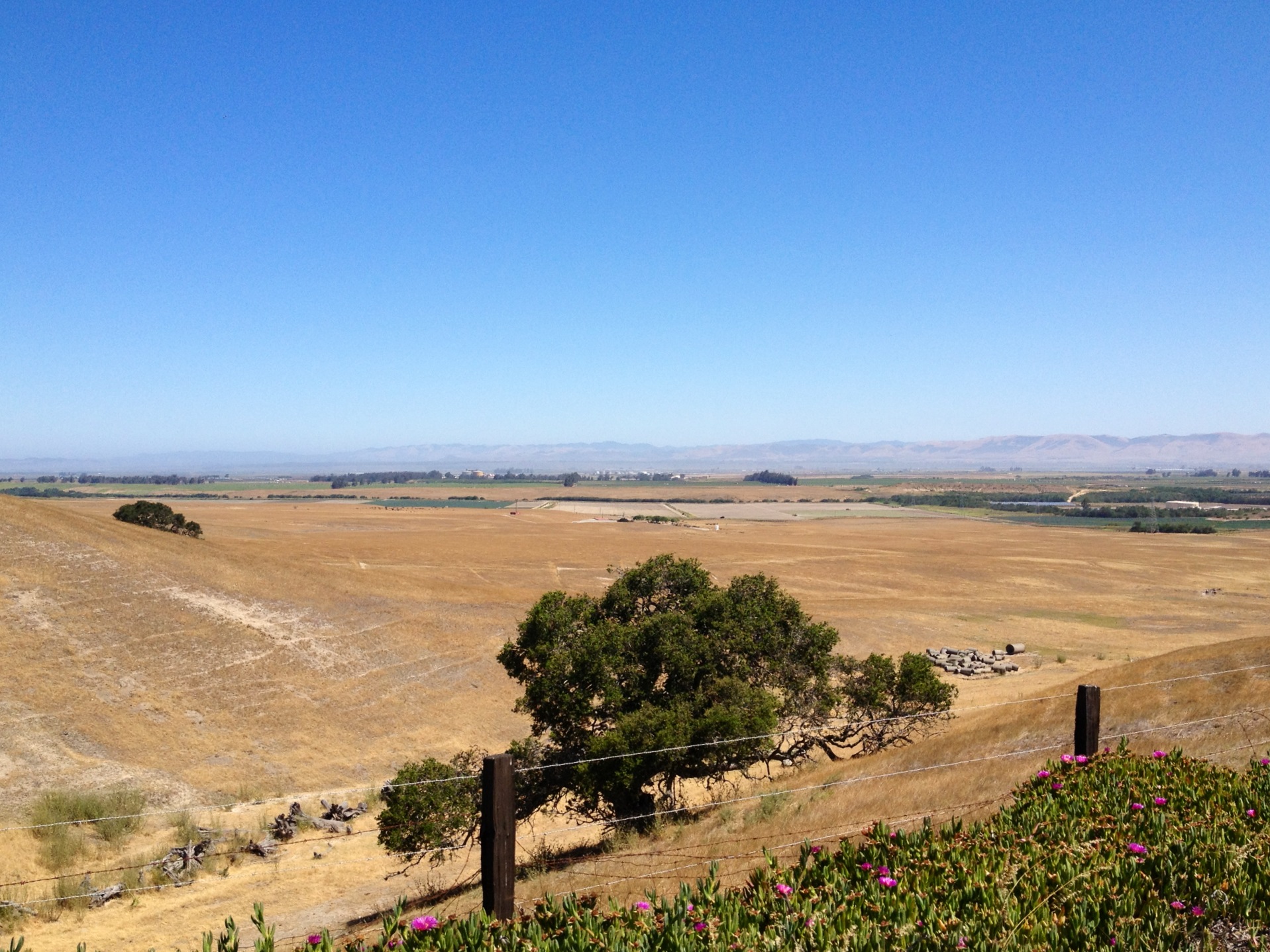
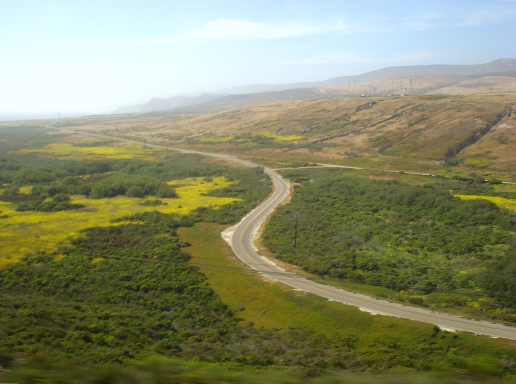
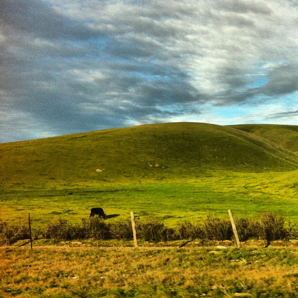
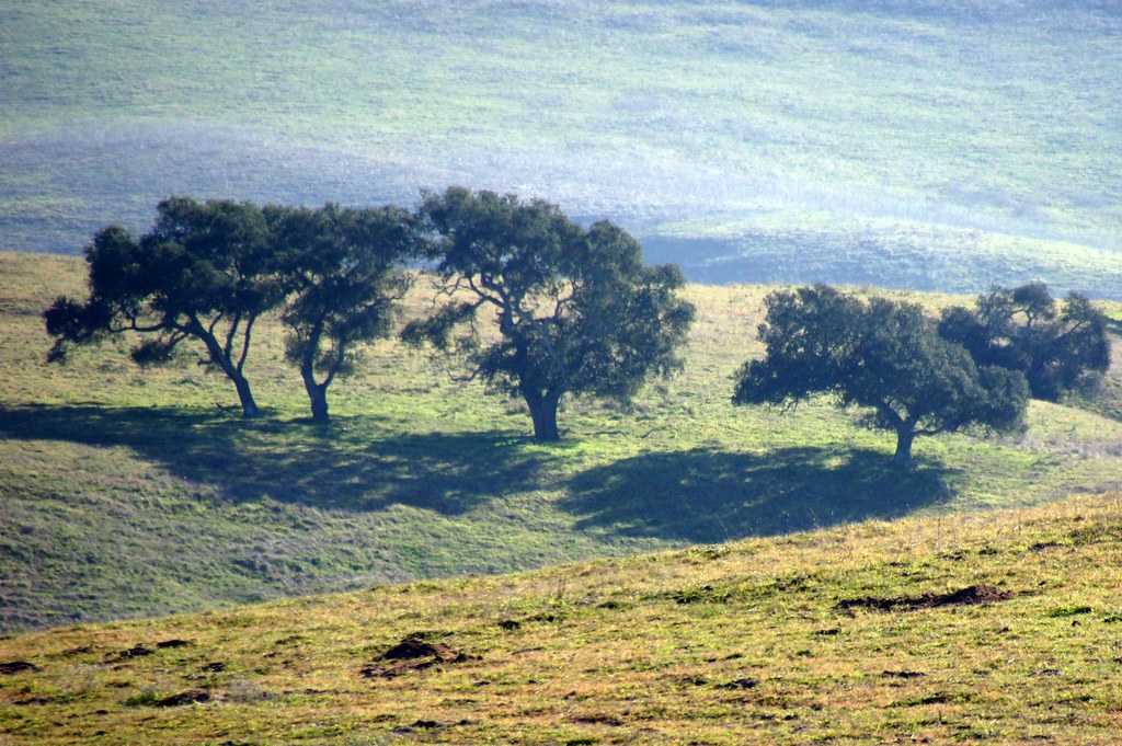
California Coastal Rangeland
Taking Shape
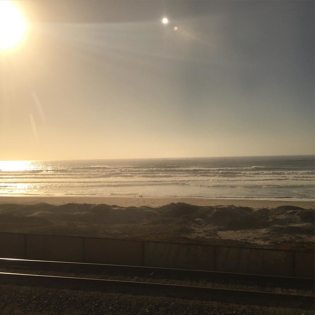
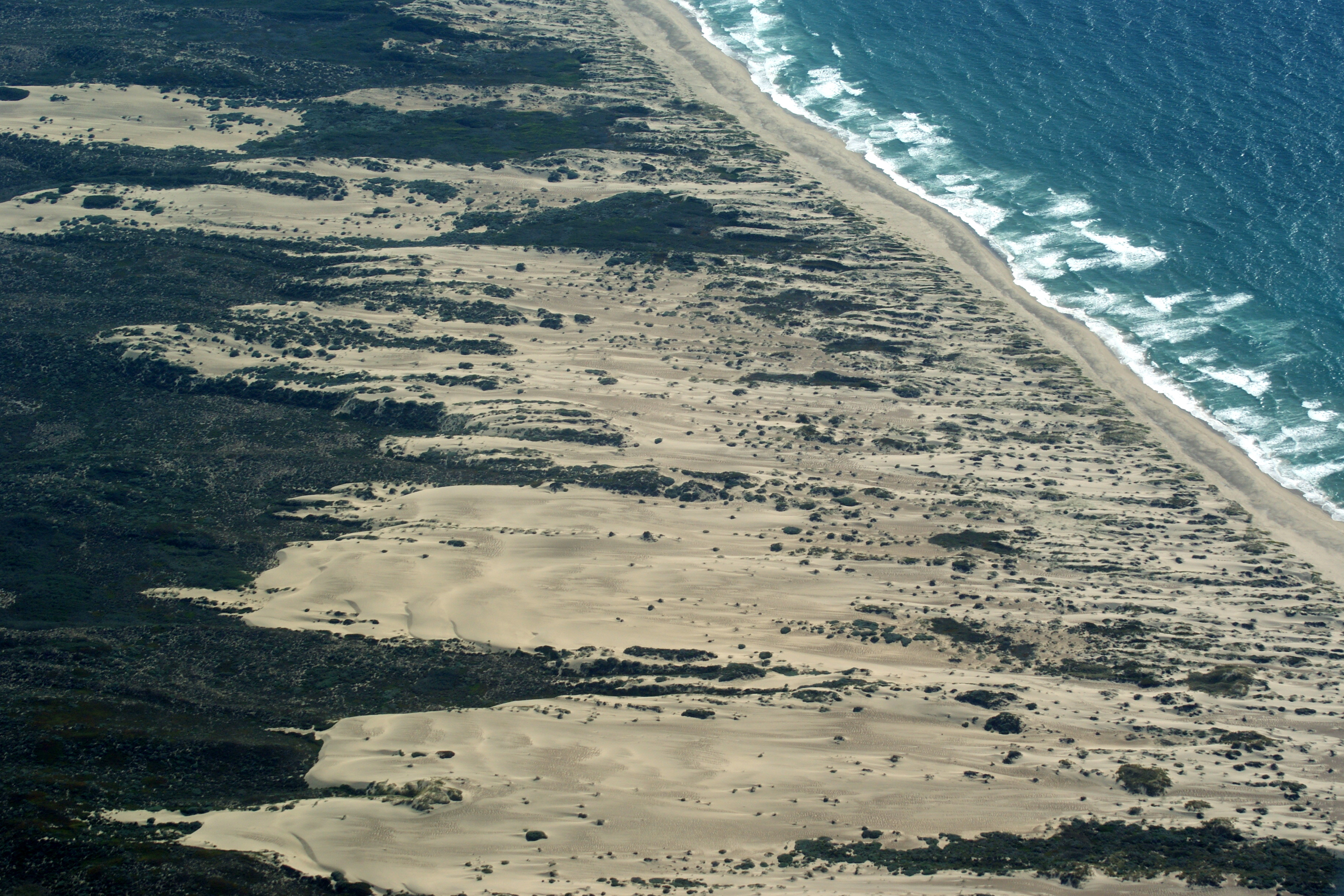
That Pacific Ocean!
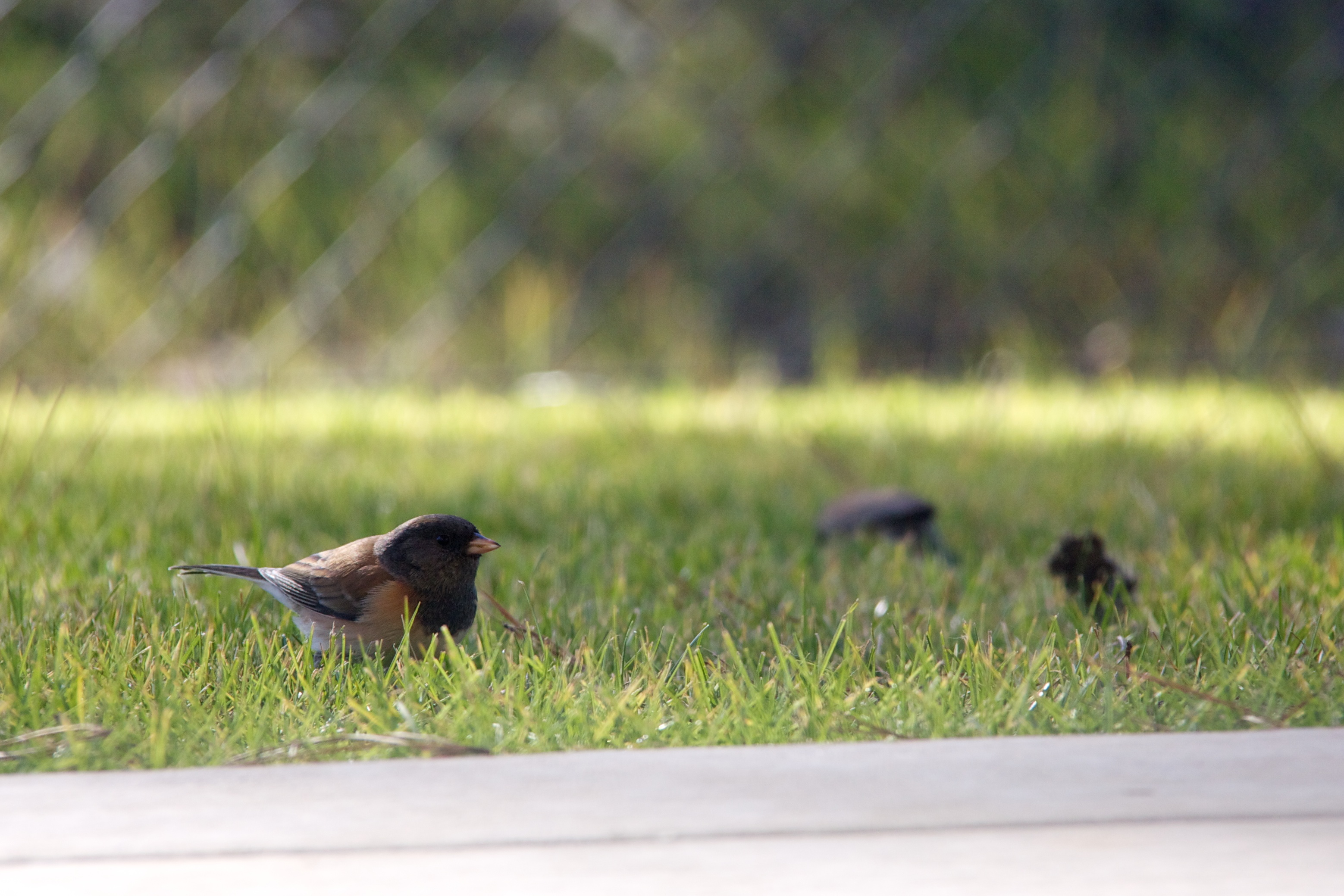
Backyard Birds
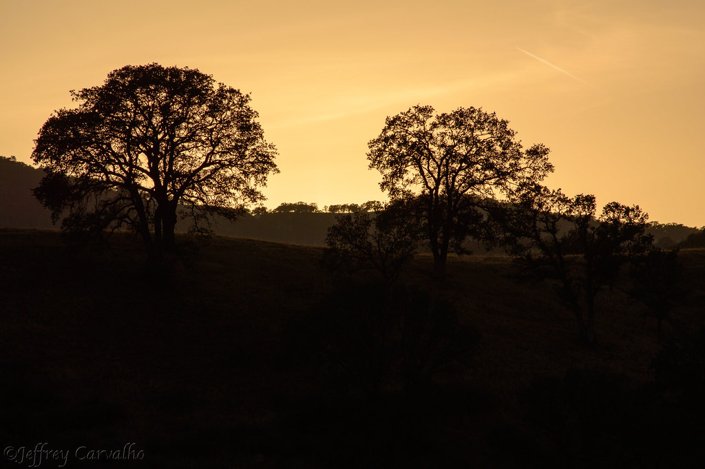
Before The Haze Burns Off
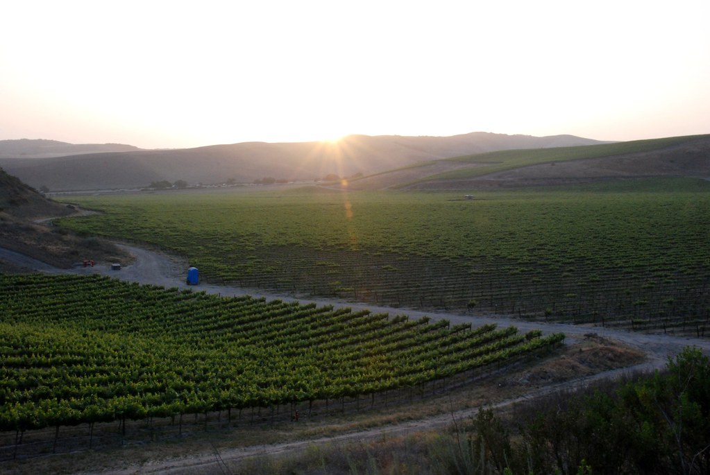
Wine Country 2
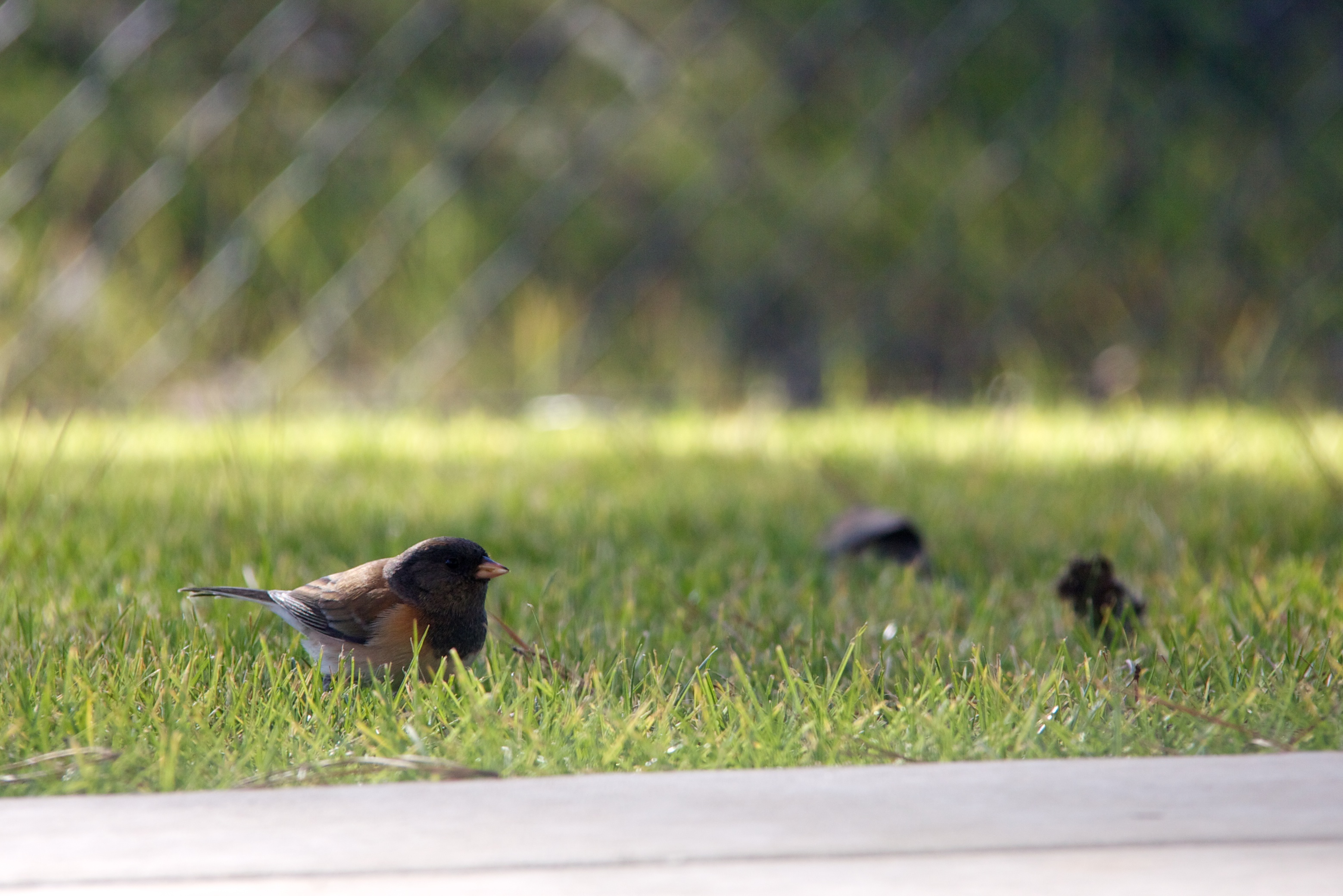
Backyard Birds
Topographic Map of CHAMPION Real Estate, Orcutt, CA, S 1st St, Santa Maria, CA, USA
Find elevation by address:

Places near CHAMPION Real Estate, Orcutt, CA, S 1st St, Santa Maria, CA, USA:
196 Stansbury Dr
Orcutt
4389 Kris Dr
4845 S Bradley Rd
5702 Paige Ct
1145 Via Pavion
1276 Hollysprings Ln
4421 Boardwalk Ln
1152 Hilltop Rd
3536 Dakota Dr
741 Raymond Ave
Stillwell Rd, Santa Maria, CA, USA
1565 Betteravia Rd
Orcutt Hill Rd, Santa Maria, CA, USA
1621 Barolo Pl
2301 Black Rd
La Brea Ave, Santa Maria, CA, USA
Lompoc Casmalia Rd, Casmalia, CA, USA
Black Rd, Santa Maria, CA, USA
Santa Maria Recreation & Parks Department
Recent Searches:
- Elevation of Unnamed Road, Respublika Severnaya Osetiya — Alaniya, Russia
- Elevation of Verkhny Fiagdon, North Ossetia–Alania Republic, Russia
- Elevation of F. Viola Hiway, San Rafael, Bulacan, Philippines
- Elevation of Herbage Dr, Gulfport, MS, USA
- Elevation of Lilac Cir, Haldimand, ON N3W 2G9, Canada
- Elevation of Harrod Branch Road, Harrod Branch Rd, Kentucky, USA
- Elevation of Wyndham Grand Barbados Sam Lords Castle All Inclusive Resort, End of Belair Road, Long Bay, Bridgetown Barbados
- Elevation of Iga Trl, Maggie Valley, NC, USA
- Elevation of N Co Rd 31D, Loveland, CO, USA
- Elevation of Lindever Ln, Palmetto, FL, USA