Elevation of Kaysville, UT, USA
Location: United States > Utah > Davis County >
Longitude: -111.93855
Latitude: 41.0352216
Elevation: 1325m / 4347feet
Barometric Pressure: 86KPa
Elevation Map:
Satellite Map:
Related Photos:
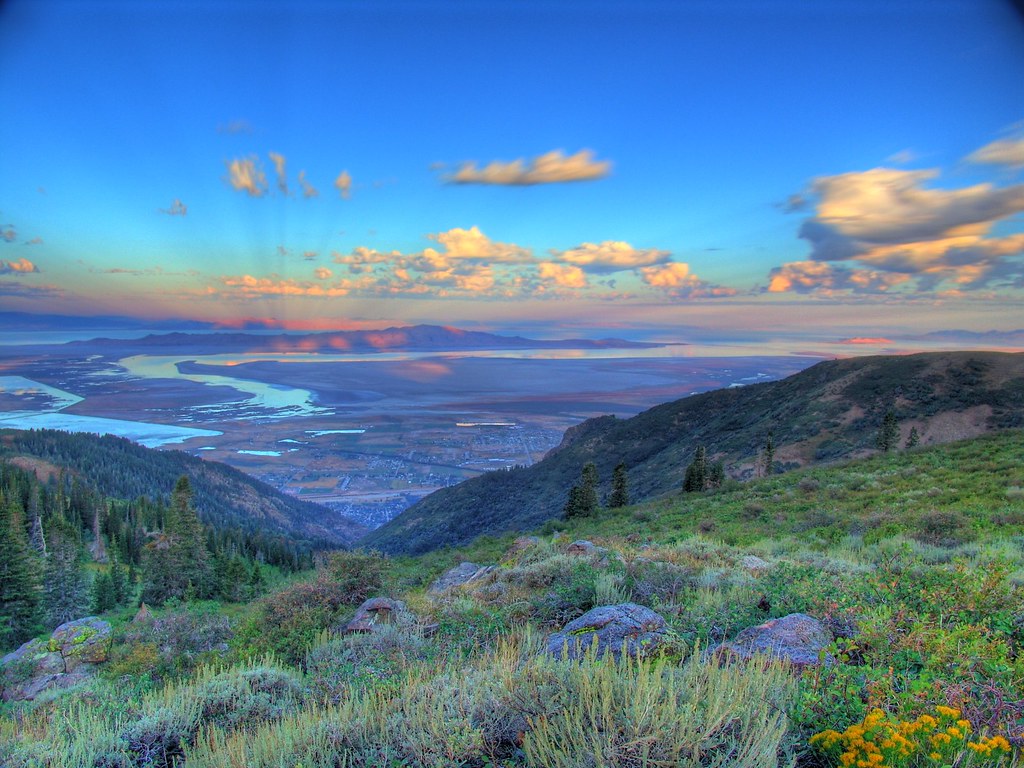
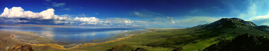
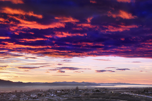
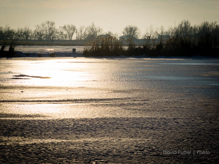
Great Salt Lake Morning View
South end of Antelope Island
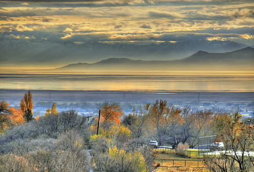
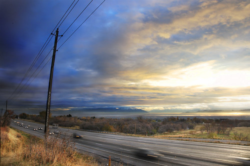
Valley Haze
A little piece of Utah paradise
Looking North at Sunset.

Pumpkin Patch ~ My Beautiful Sister
view from the top of Dooly Knob
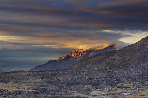
Clouds and Sun on Ben Lomond

Contrails and Clouds

The Scarlet Pimpernel - Viewmont High School - 0527
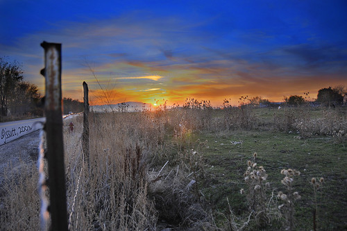
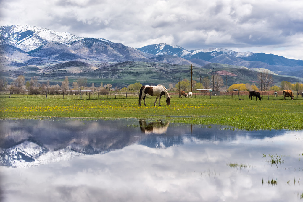
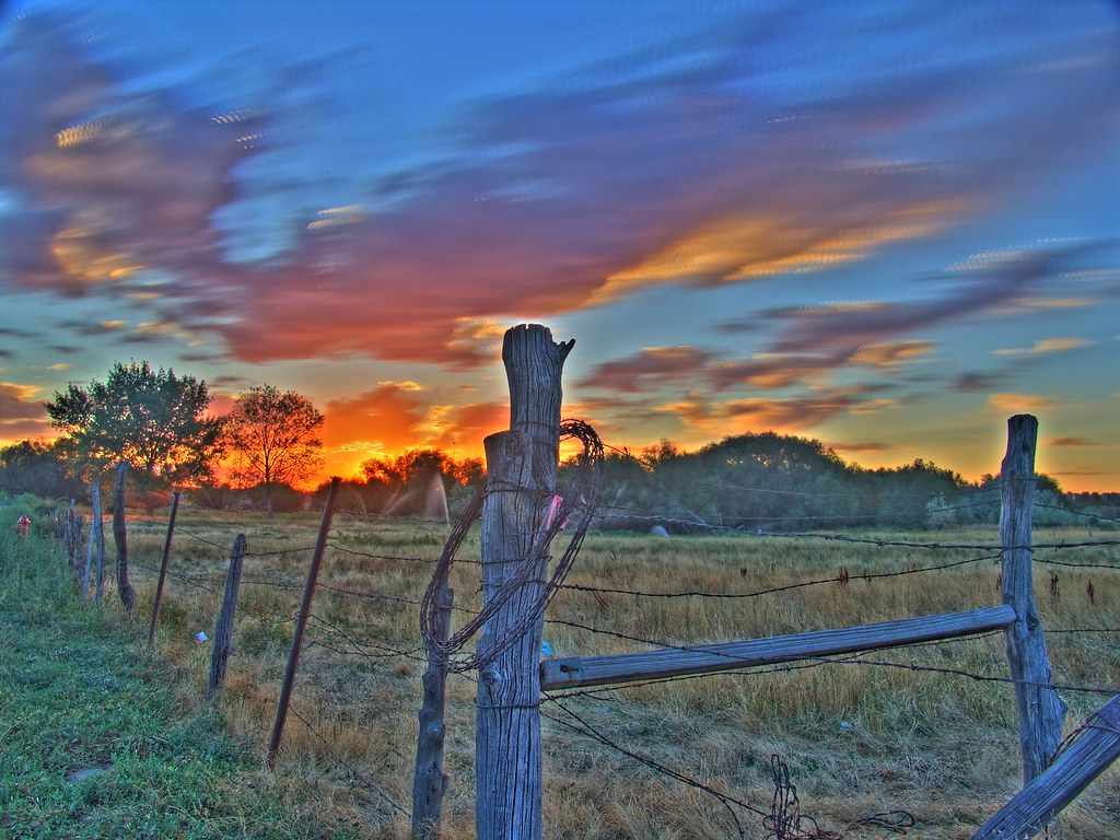
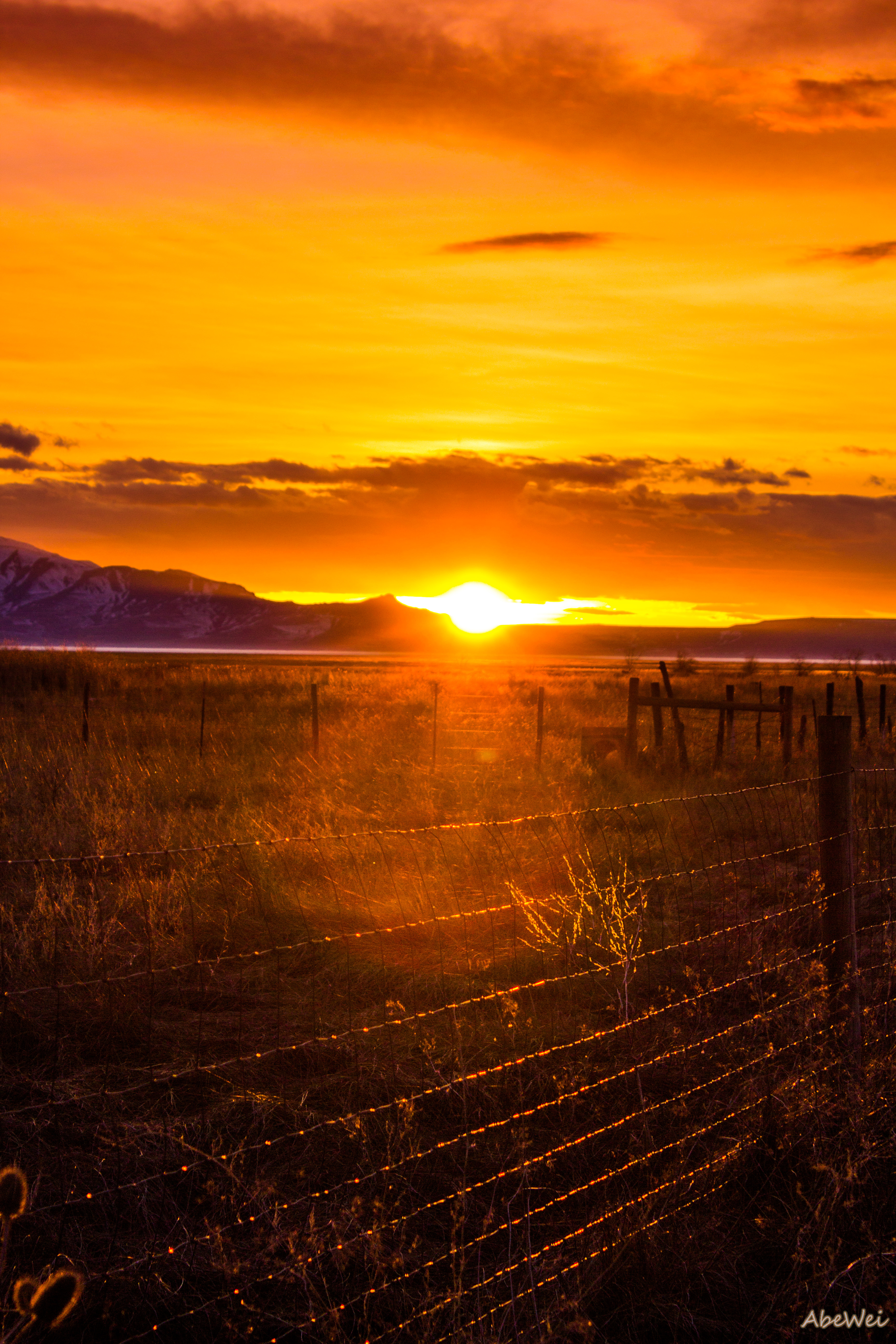
Horse Pasture Sunset
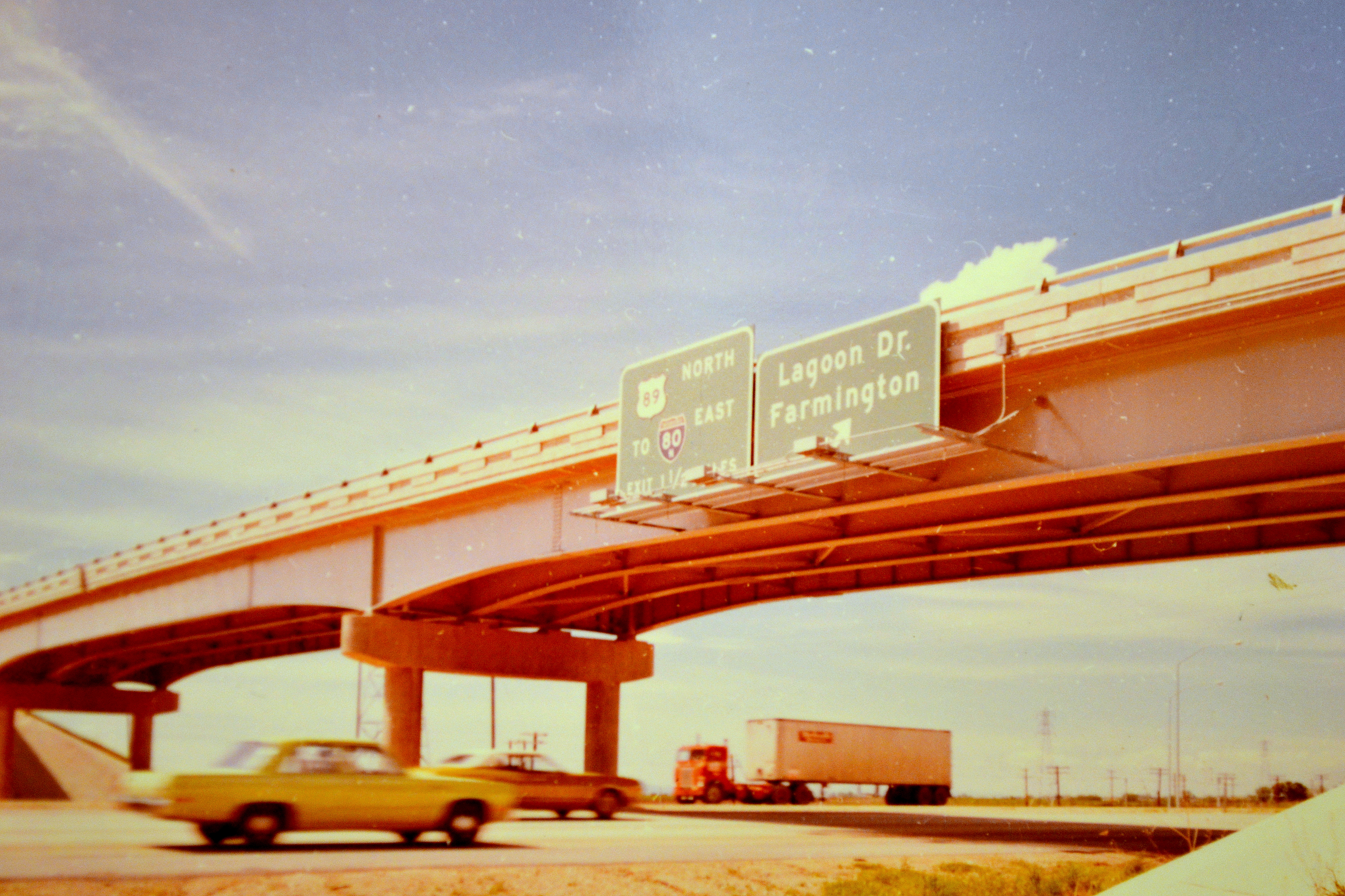
northbound I-15 at 200 West, 1972

The Scarlet Pimpernel - Viewmont High School - 0515

Look Into My Eyes
Traffic on Highway 89

Utah Sunrise

church-cross.jpg

Union Pacific 844

The Scarlet Pimpernel - Viewmont High School - 0523
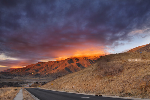
Sunset looking over Hill Air Force Base
Sunset HDR
Ben Lomond

Layton, UT
The Great Salt Lake Shorelands Preserve, UT
Antelope Impression

Layton,UT

Bountiful Lake
Hay !

The Great Salt Lake Shorelands Preserve, UT
Bountiful Lake
South Ogden, UT

Shot with Colors

IMG_8086.DNG

IMG_8062.DNG
Utah's Sunset
Running into a Light Curtain
Bountiful Lake
Sunset at the Red Barn
Silver Lake

A Happy Horse.
20131226-IMG_2689.jpg
Topographic Map of Kaysville, UT, USA
Find elevation by address:

Places in Kaysville, UT, USA:
Places near Kaysville, UT, USA:
200 Main St
Kaysville Junior High School
181 Crestwood Rd
Davis High School
11 E 900 S
Usu Botanical Center
15 S 760 E
45 S 760 E
609 E 700 N
854 W 450 N
Sunset Dr, Kaysville, UT, USA
Morgan Elementary
435 N 1150 E
Smith's
1059 N Kingswood Rd
1134 Laurelwood Dr
1134 E Laurelwood Dr S
Fruit Heights Castle Park
Chevron
North Bedford Drive
Recent Searches:
- Elevation of Lampiasi St, Sarasota, FL, USA
- Elevation of Elwyn Dr, Roanoke Rapids, NC, USA
- Elevation of Congressional Dr, Stevensville, MD, USA
- Elevation of Bellview Rd, McLean, VA, USA
- Elevation of Stage Island Rd, Chatham, MA, USA
- Elevation of Shibuya Scramble Crossing, 21 Udagawacho, Shibuya City, Tokyo -, Japan
- Elevation of Jadagoniai, Kaunas District Municipality, Lithuania
- Elevation of Pagonija rock, Kranto 7-oji g. 8"N, Kaunas, Lithuania
- Elevation of Co Rd 87, Jamestown, CO, USA
- Elevation of Tenjo, Cundinamarca, Colombia