Elevation of N Kingswood Rd, Kaysville, UT, USA
Location: United States > Utah > Davis County > Kaysville >
Longitude: -111.91806
Latitude: 41.051851
Elevation: 1425m / 4675feet
Barometric Pressure: 85KPa
Elevation Map:
Satellite Map:
Related Photos:
Valley Haze
South end of Antelope Island
A little piece of Utah paradise

Pumpkin Patch ~ My Beautiful Sister
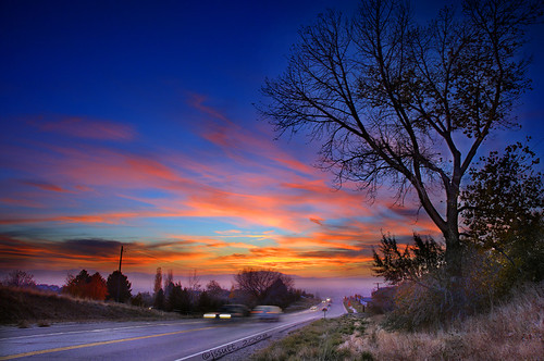
Looking North at Sunset.

Eating the Sun

Union Pacific 844
IMG_6661 North Fork Kays Creek

Contrails and Clouds
The Beginnings...a closer view
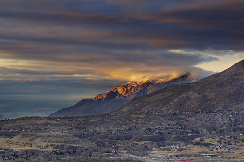
Clouds and Sun on Ben Lomond

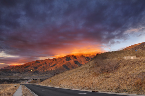
Sunset looking over Hill Air Force Base
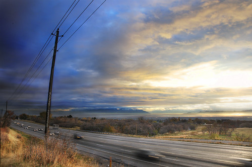
Traffic on Highway 89

The Bonneville Shoreline
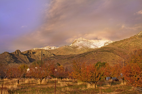
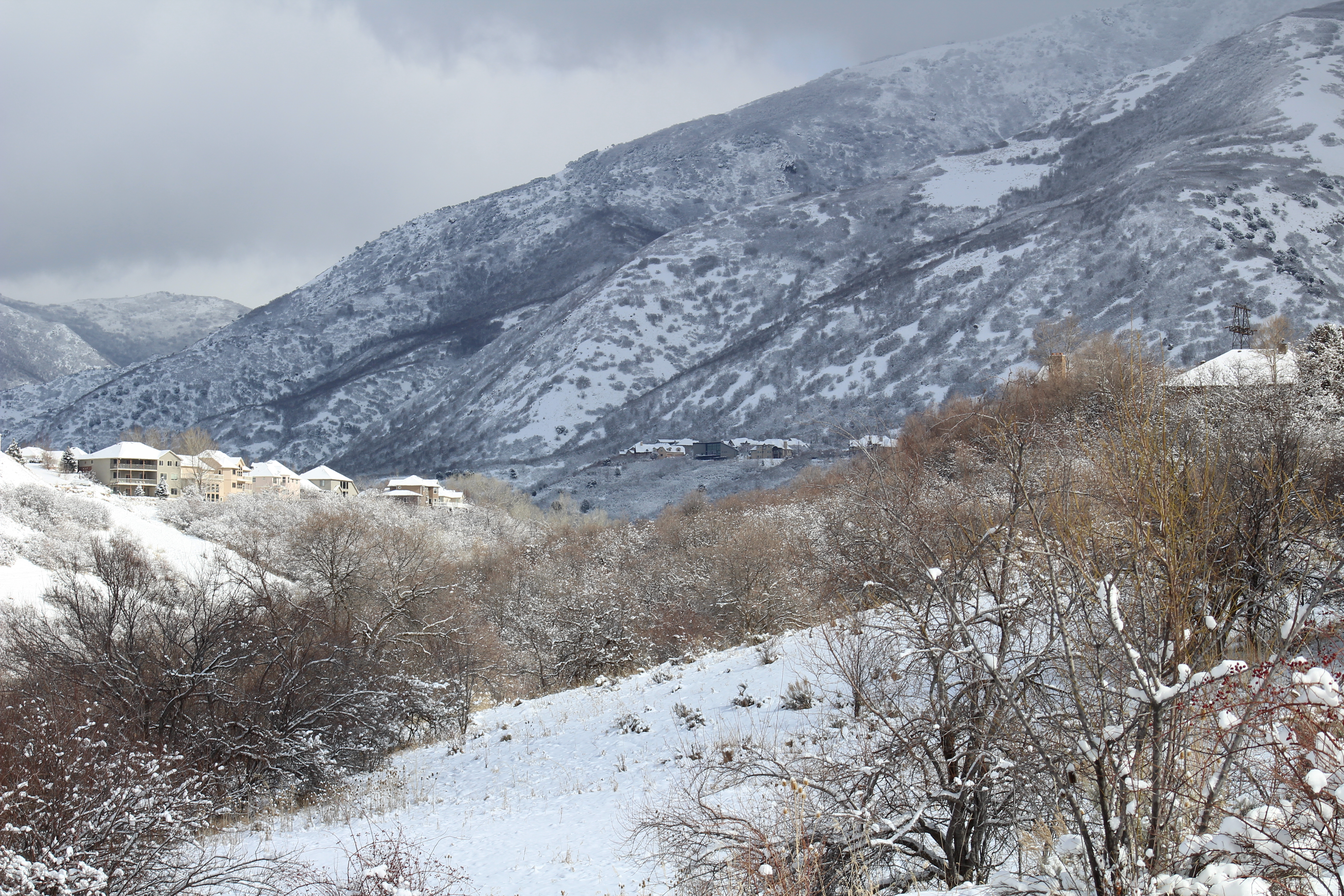
Autumn Snow on Wasatch Front
No Need to B&W this Photo.
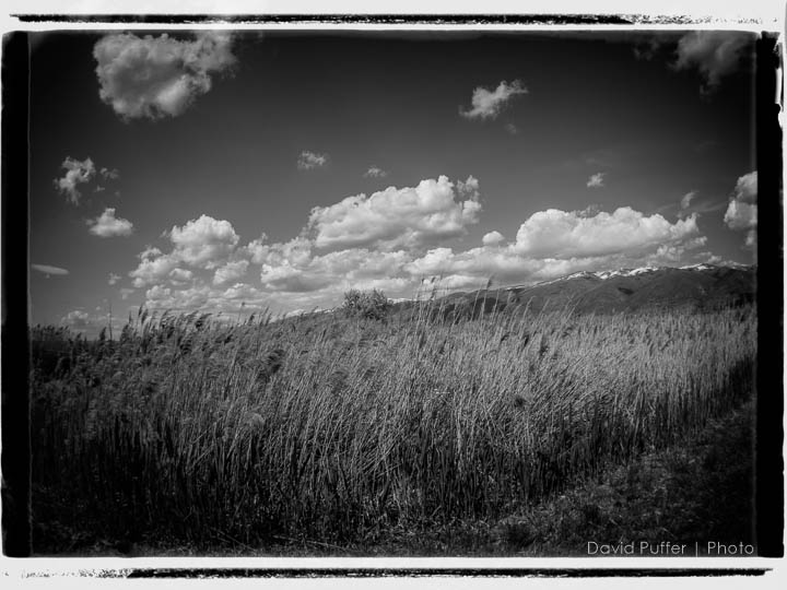
IMG_6656 Kays Creek wetland
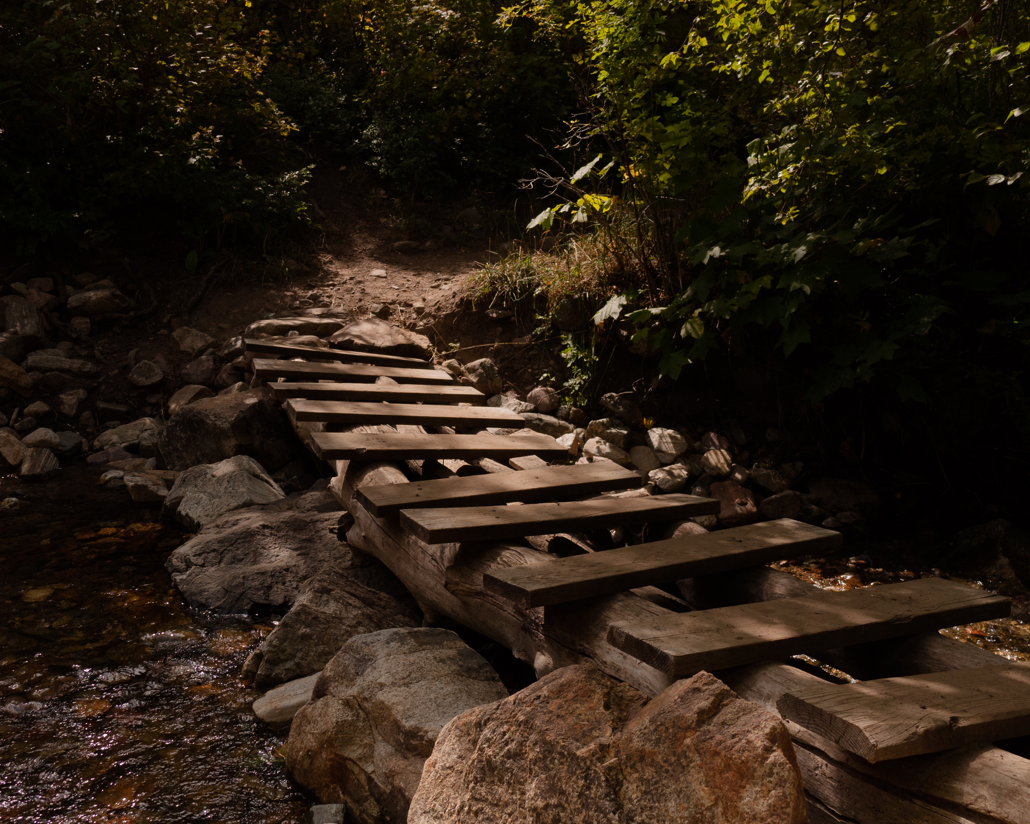
The Footbridge
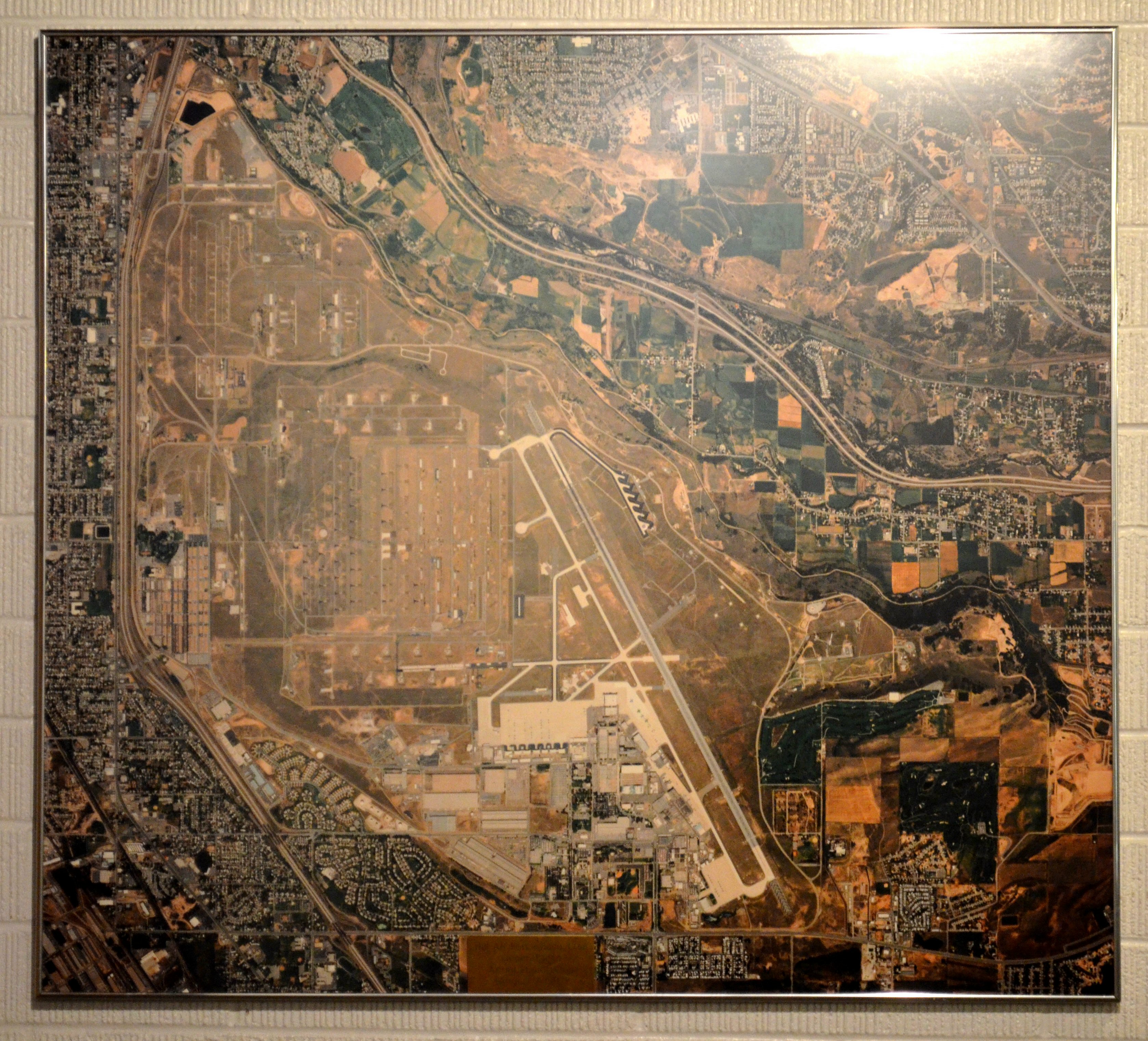
0026-014 2013 USA Vacation, Utah, Ogden, Hill AFB, Aerospace Museum, Aerial View
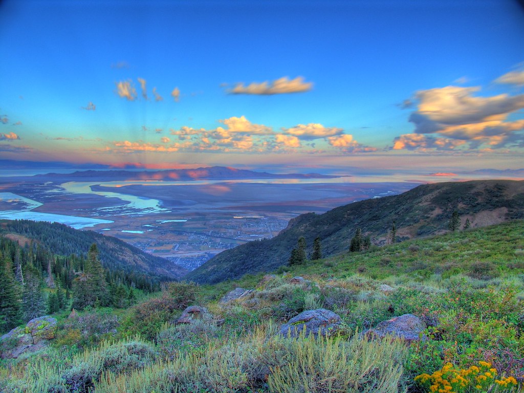
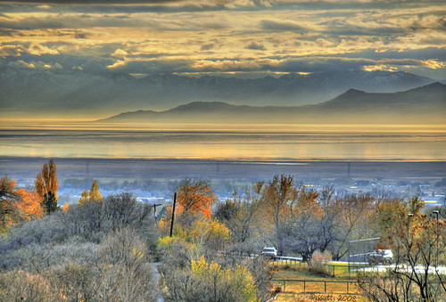
Great Salt Lake Morning View
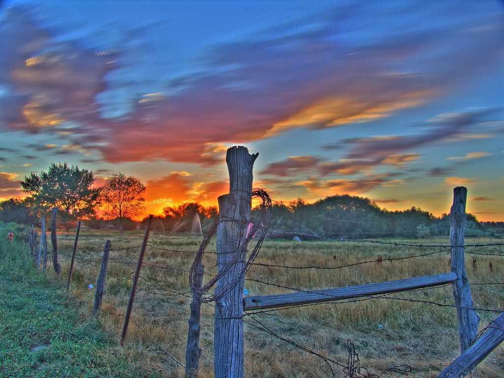
Sunset HDR

The Great Salt Lake Shorelands Preserve, UT
Bountiful Lake
Dike View

The Great Salt Lake Shorelands Preserve, UT

Layton,UT
Ben Lomond

Layton, UT
Antelope Impression

Oak Grove
20130428 Adams Canyon 019.jpg

Shot with Colors

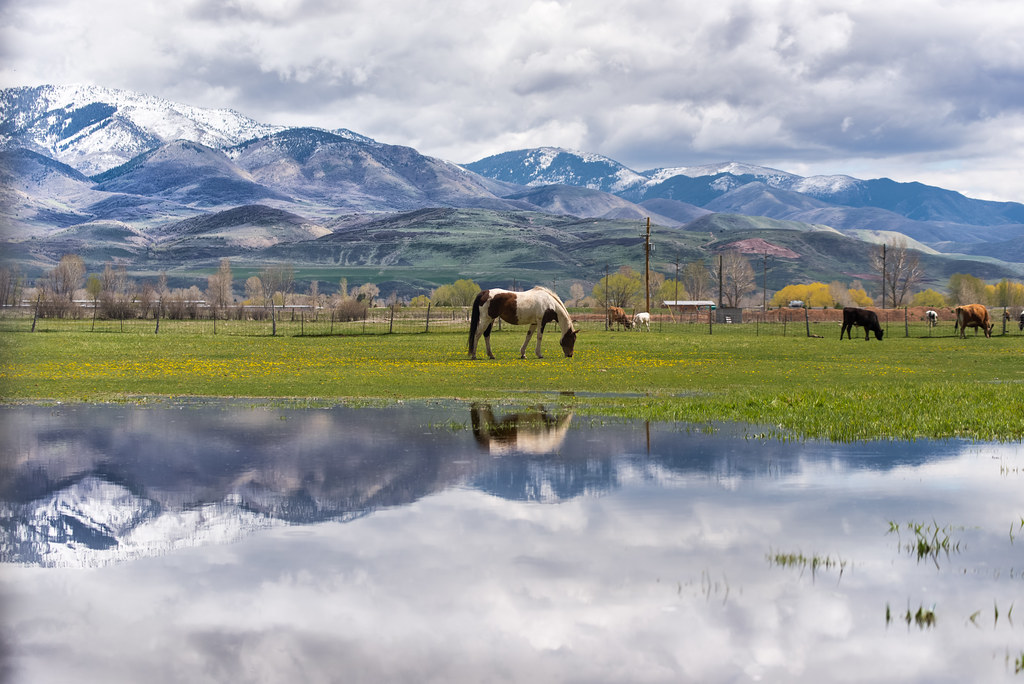
Hay !
Wetlands Preserve

Layton, UT
20130428 Adams Canyon 023.jpg
River Rock
Beaver Ponds on the back side of Francis peak HDR

10.12.17.
South Ogden, UT
Topographic Map of N Kingswood Rd, Kaysville, UT, USA
Find elevation by address:

Places near N Kingswood Rd, Kaysville, UT, USA:
North Bedford Drive
Morgan Elementary
East Bedford Drive
89 S 2625 E
609 E 700 N
435 N 1150 E
Oakmont Lane
N E, Layton, UT, USA
15 S 760 E
45 S 760 E
733 Woodridge Dr
181 Crestwood Rd
1134 Laurelwood Dr
1134 E Laurelwood Dr S
U.s. Highway 89
200 Main St
Fruit Heights City Shop
Fruit Heights
Fruit Heights Castle Park
Davis High School
Recent Searches:
- Elevation of Chesaw Rd, Oroville, WA, USA
- Elevation of N, Mt Pleasant, UT, USA
- Elevation of 6 Rue Jules Ferry, Beausoleil, France
- Elevation of Sattva Horizon, 4JC6+G9P, Vinayak Nagar, Kattigenahalli, Bengaluru, Karnataka, India
- Elevation of Great Brook Sports, Gold Star Hwy, Groton, CT, USA
- Elevation of 10 Mountain Laurels Dr, Nashua, NH, USA
- Elevation of 16 Gilboa Ln, Nashua, NH, USA
- Elevation of Laurel Rd, Townsend, TN, USA
- Elevation of 3 Nestling Wood Dr, Long Valley, NJ, USA
- Elevation of Ilungu, Tanzania