Elevation of E Laurelwood Dr S, Fruit Heights, UT, USA
Location: United States > Utah > Davis County > Fruit Heights >
Longitude: -111.91247
Latitude: 41.0303598
Elevation: 1383m / 4537feet
Barometric Pressure: 86KPa
Elevation Map:
Satellite Map:
Related Photos:
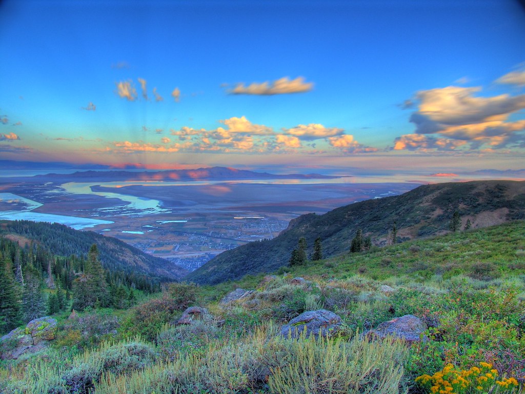
Great Salt Lake Morning View
South end of Antelope Island
A little piece of Utah paradise
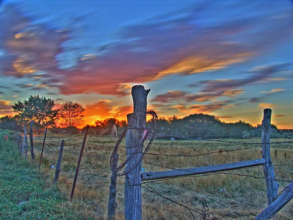
Sunset HDR
Looking North at Sunset.

church-cross.jpg
View of the Wasatch Mountains December 2016. The clouds are actually smog caused by the winter inversion. Credit to my daughter for taking this one.
Crying Sky
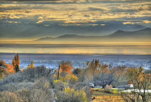
Morning View
Dike View

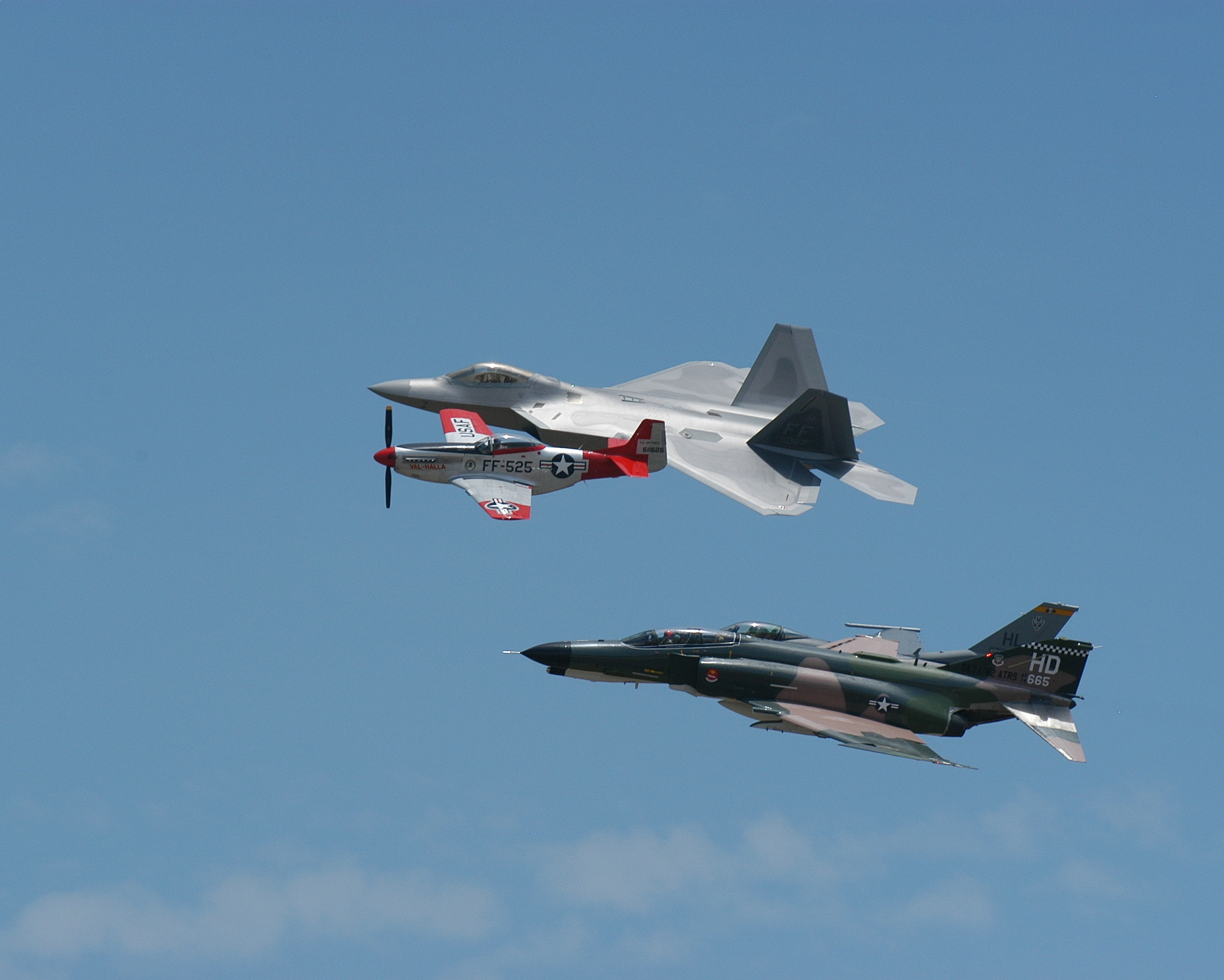
Union Pacific 844
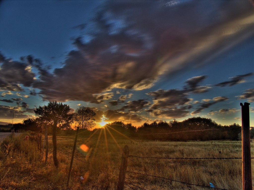
Another Sunset HDR

The Scarlet Pimpernel - Viewmont High School - 0527
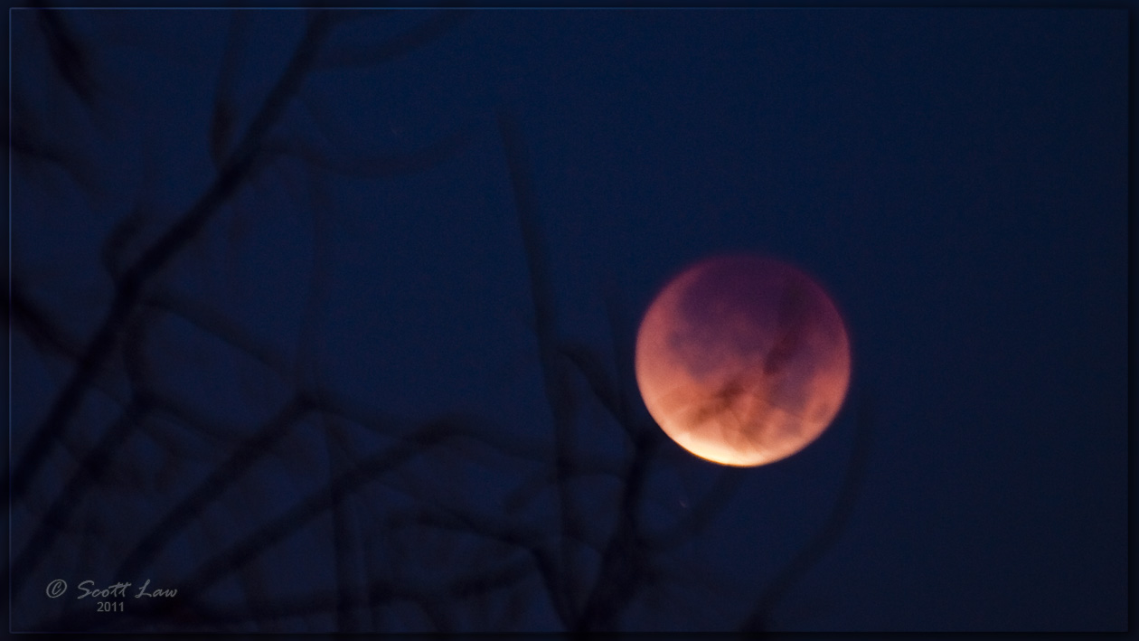
Lunar Eclipse Dec. 10, 2011

Contrails and Clouds
Formation #3
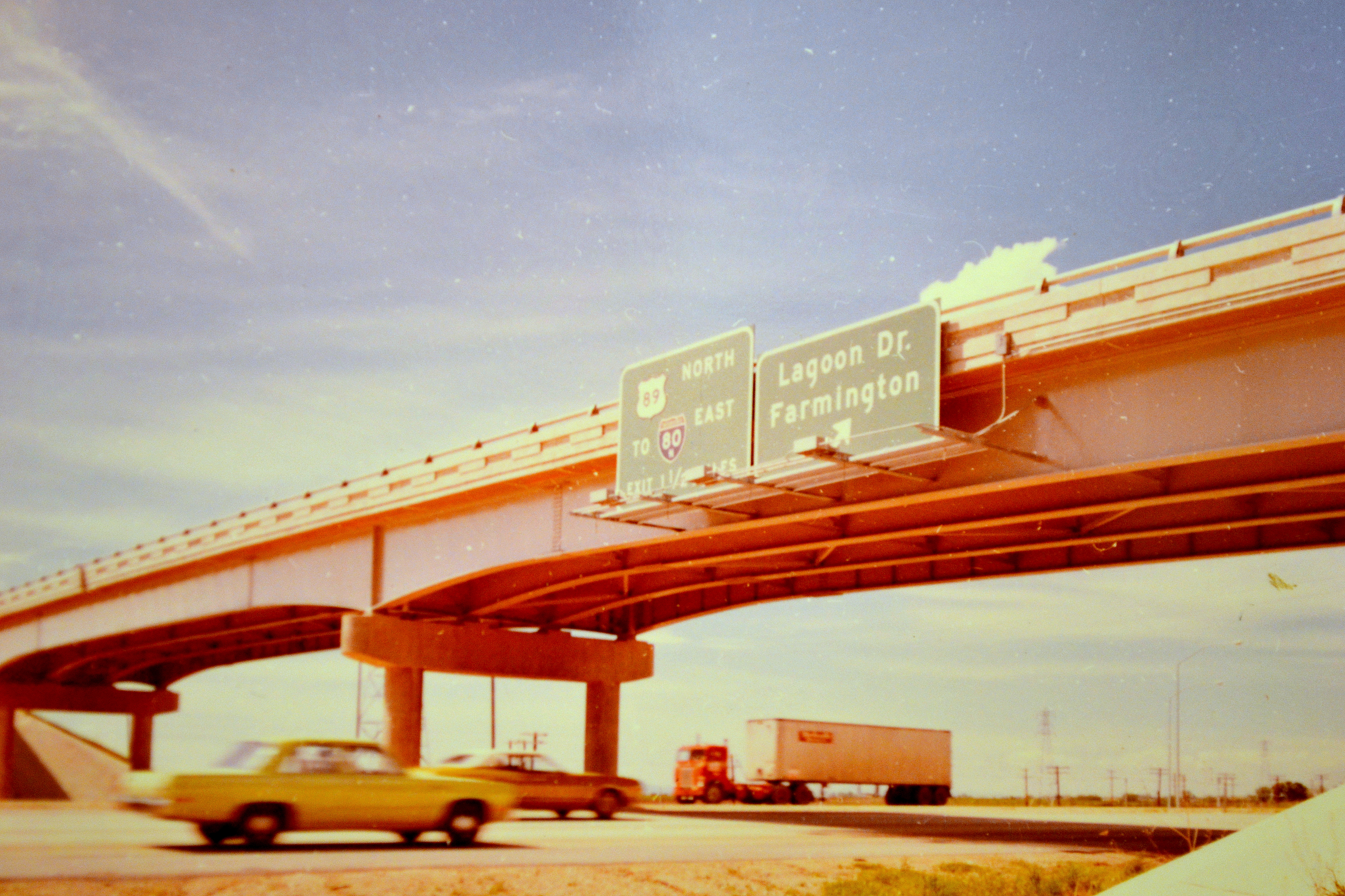
northbound I-15 at 200 West, 1972

Eating the Sun

The Scarlet Pimpernel - Viewmont High School - 0515

Sunset looking over Hill Air Force Base

The Bonneville Shoreline

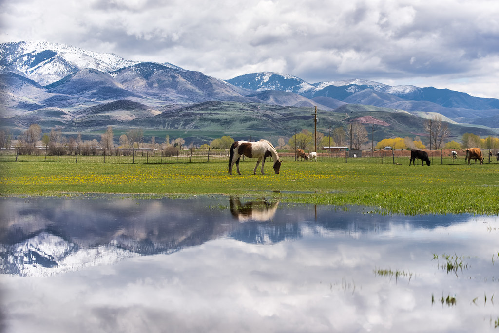
A Happy Horse.
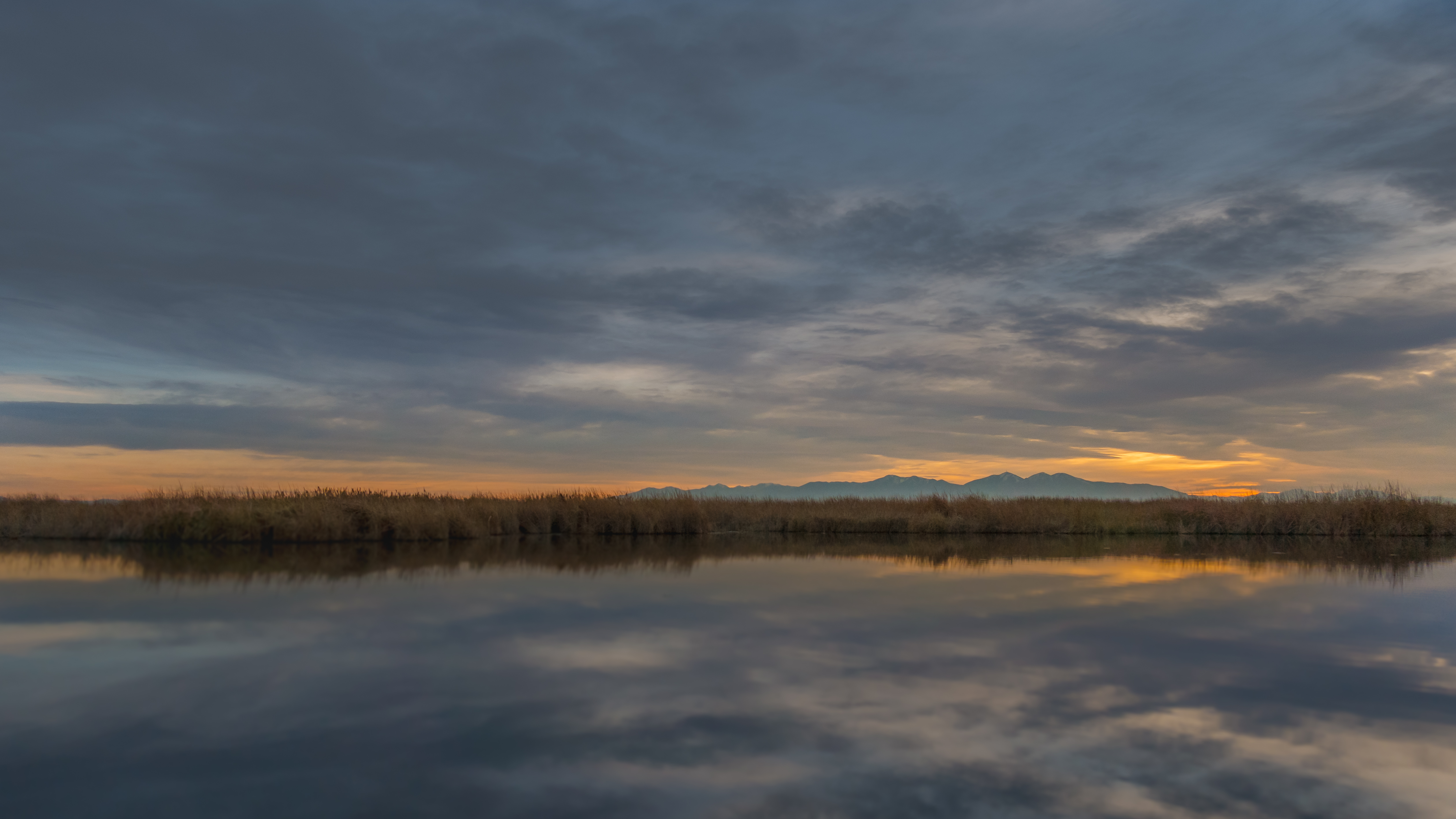
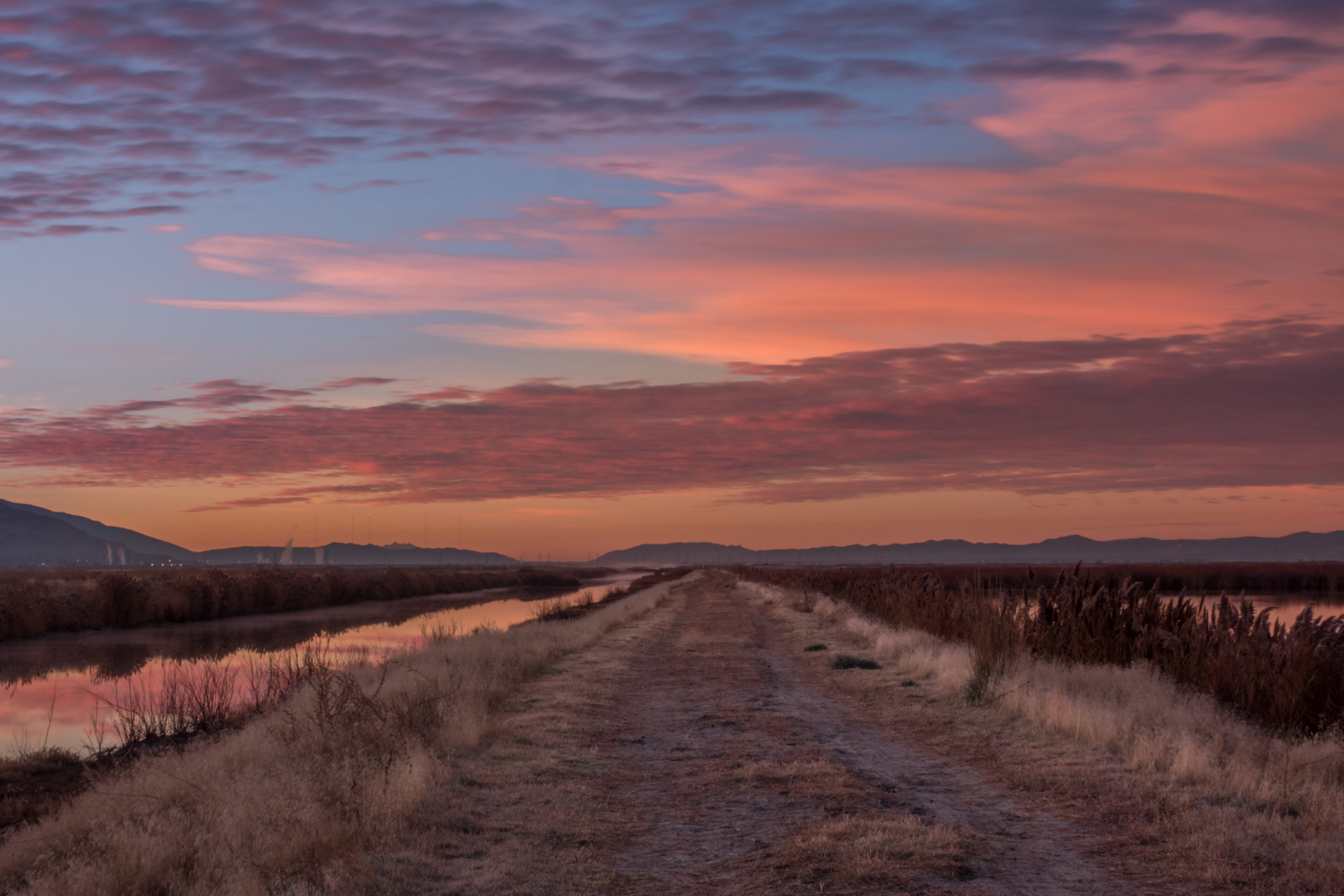
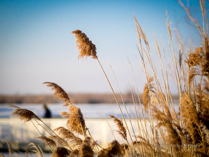
Wetlands Sunset

Layton,UT
Ben Lomond

Layton, UT

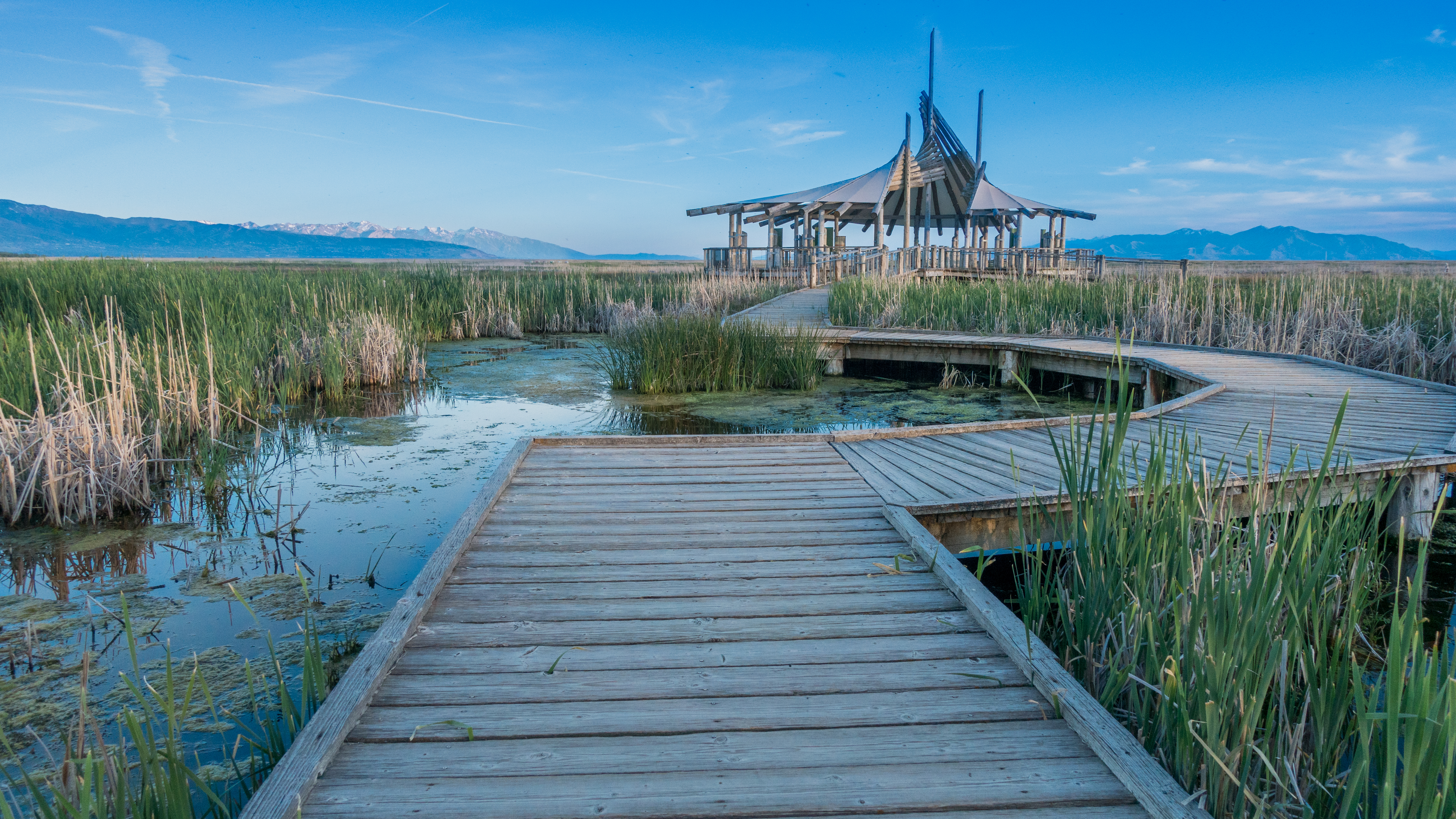
The Great Salt Lake Shorelands Preserve, UT

Antelope Impression
20130428 Adams Canyon 019.jpg

Bountiful Lake
Bountiful Lake

Hay !

Shot with Colors

The Great Salt Lake Shorelands Preserve, UT
Wetlands Preserve

Layton, UT
20130428 Adams Canyon 023.jpg
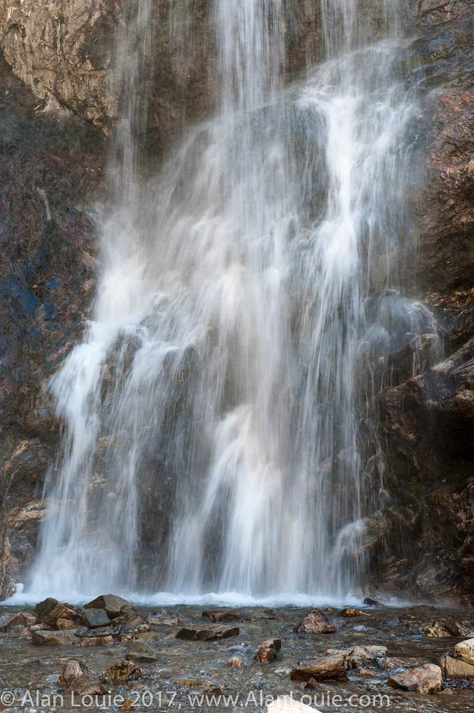
Beaver Ponds on the back side of Francis peak HDR
South Ogden, UT
Good Morning Ogden
Topographic Map of E Laurelwood Dr S, Fruit Heights, UT, USA
Find elevation by address:

Places near E Laurelwood Dr S, Fruit Heights, UT, USA:
1134 Laurelwood Dr
Fruit Heights City Shop
Fruit Heights Castle Park
U.s. Highway 89
45 S 760 E
15 S 760 E
Fruit Heights
S Mountain Rd, Fruit Heights, UT, USA
435 N 1150 E
East Oaks Drive
Oakmont Lane
Davis High School
Summer Wood Dr, Farmington, UT, USA
1233 High Crest Cir
609 E 700 N
East Bedford Drive
1059 N Kingswood Rd
Morgan Elementary
North Bedford Drive
497 Oakwood Cir
Recent Searches:
- Elevation of Beall Road, Beall Rd, Florida, USA
- Elevation of Leguwa, Nepal
- Elevation of County Rd, Enterprise, AL, USA
- Elevation of Kolchuginsky District, Vladimir Oblast, Russia
- Elevation of Shustino, Vladimir Oblast, Russia
- Elevation of Lampiasi St, Sarasota, FL, USA
- Elevation of Elwyn Dr, Roanoke Rapids, NC, USA
- Elevation of Congressional Dr, Stevensville, MD, USA
- Elevation of Bellview Rd, McLean, VA, USA
- Elevation of Stage Island Rd, Chatham, MA, USA