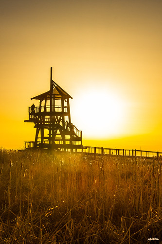
Elevation of N E, Kaysville, UT, USA

Longitude: -111.91456

Latitude: 41.0432643

Elevation: 1409m / 4623feet

Barometric Pressure: 85KPa

Elevation Map:

elevation map of N E, Kaysville, UT, USA

Satellite Map:

Satellite map of N E, Kaysville, UT, USA

Related Photos:

sunset submitted clouds photoshop utah getty bluehour dri hdr gettyimages daviscounty photomatix jssutt oakhillsdr jeffsuttlemyre
Valley Haze
utah antelopeisland greatsaltlake dri hdr daviscounty digitalblending tonemapping jssutt jeffsuttlemyre
South end of Antelope Island
mountain clouds island utah canyon hills greatsaltlake hdr highdynamicrange daviscounty wonderworld mikechristensen spoiler3 anteolope
Great Salt Lake Morning View
wasatchmountains i84 trappersloop wasatchrange morganvalley morgancounty horses cows westtoeastcoastroadtrip utah mountaingreen pixelmama explore
A little piece of Utah paradise

up9066 up8005 morgan utah unitedstatesofamerica up3785
UP 8005, UP 3765, UP 9066
takenfromabove weeklythemechallenge utah mountains pine trees cachenationalforest outside outdoor landscape snow evergreen francispeak carsr radar defense
Beautiful Mountains and More (check out the description)
horizontal day diffusedlight overcast snowy snow snowcovered cold building home structure trees birchcreekdrive southogden utah ut windows door porchlight roof bw blackandwhite grays tones outdoors outside street pavement streetview digitalphotography hdr photomatix highdynamiucrange weepingburchtree
Our South Ogden Home
sunset clouds utah wasatch hdr wasatchfront daviscounty wasatchmountains photomatix digitalblending jssutt jeffsuttlemyre
Looking North at Sunset.
sunset clouds utah contrail greatsaltlake contrails dri hdr daviscounty jssutt jeffsuttlemyre
Contrails and Clouds
624201 air airforce aircraft aircraftspotter aircraftspotting airplane airport aviation c140b camera canon capture digital flight fly flying hillafb hillaerospacemuseum image jetstar lockheed mojo museum ogden photo photog photograph photographer photography picture plane planespotter planespotting scanlon spotter spotting usairforce usaf utah wow ©mjscanlon ©mjscanlonphotography
62-4201 USAF | Lockheed C-140B JetStar | Hill Aerospace Museum
sunset photoshop utah pasture dri hdr daviscounty photomatix laytonutah jssutt jeffsuttlemyre
Horse Pasture Sunset
sunset submitted clouds utah getty benlomond dri hdr gettyimages daviscounty photomatix benlomondpeak digitalblending jssutt jeffsuttlemyre
Clouds and Sun on Ben Lomond
rnoden
Wasatch Range, Northern Utah
thescarletpimpernel viewmonthighschool
The Scarlet Pimpernel - Viewmont High School - 0515
The Beginnings...a closer view
The Scarlet Pimpernel - Viewmont High School - 0527
The Scarlet Pimpernel - Viewmont High School - 0523
syracuse utah unitedstates usa zeesstof aerial saltlakecityuttohoustontx aerialview aerialimage windowseat windowview flight commercialflight
Bountiful, Grandview Peak & the Wasatch Range
sunset utah layton digitalblending hillairforcebase jssutt
Sunset looking over Hill Air Force Base
Kodak Master View (1955)
church night nikon soft cross christian crucifix coolpix s3300 incamerasoft
church-cross.jpg
South Ogden, UT
Layton, UT
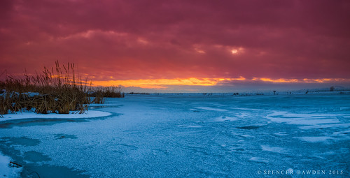
winter sunset sky lake ice nature fire bay utah rainbow great salt center spencer farmington bawden spazoto
Fire and Ice
Salt Lake City
The Great Salt Lake Shorelands Preserve, UT
Ben Lomond
Layton,UT
nature 2014 bountiful
Bountiful Lake
Farmington Bay
woodscross utah unitedstates us
Wetlands Sunset
woodscross utah unitedstates us
The Outer Limits
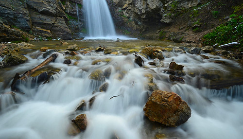
waterfalls waterflow watermotion waterpools utah nature landscape longexposure rocks rock rockformation springtime runoff
Great Spring Runoff
wasatch sunset layton ut utah greatsaltlake thurston peak
Winter Sunset
woodscross utah unitedstates us
Dike View
Hay !
airplanewindow airplanewindowview azimuth160 coloradogreatsanddunesblackcanyonofthegunnison day6 deltaairlines dxophotolab4edited flightslctoaus flyingoverutah landscape landscapescenery lookingoutsideplanewindow lookingse lookingoutairplanewindow lookingouttheairplanewindow mountainpeak mountains mountainsindistance mountainsoffindistance nature nikond850 nopeople outside planewindow project365 ridge ridgeline ridges rockymountains scenicsnature snapbridge travel saltlakecity utah unitedstates
Mountains Over Utah on a Flight out of SLC
East Pond
nature 2014 bountiful
Bountiful Lake
The Great Salt Lake Shorelands Preserve, UT
flowers mountains rain clouds francis utah rocks wasatch trails beaver hills davis storms ponds daviscounty beaverpond mikechristensen francispeak spoiler3
Beaver Ponds on the back side of Francis peak HDR