Elevation of 45 S E, Kaysville, UT, USA
Location: United States > Utah > Davis County > Kaysville >
Longitude: -111.92069
Latitude: 41.0344395
Elevation: 1371m / 4498feet
Barometric Pressure: 86KPa
Elevation Map:
Satellite Map:
Related Photos:

Pumpkin Patch ~ My Beautiful Sister
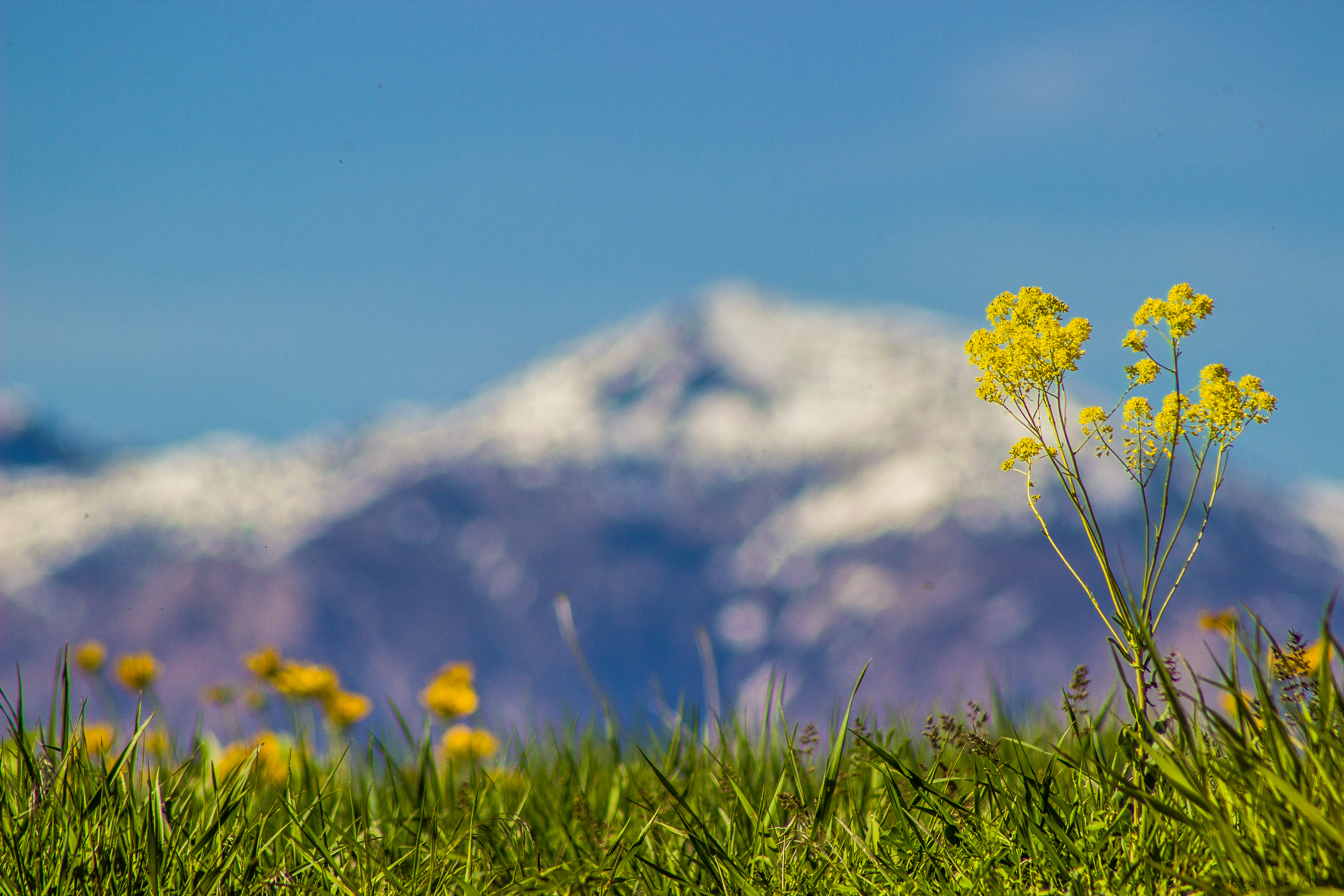
Ben Lomond

Layton, UT

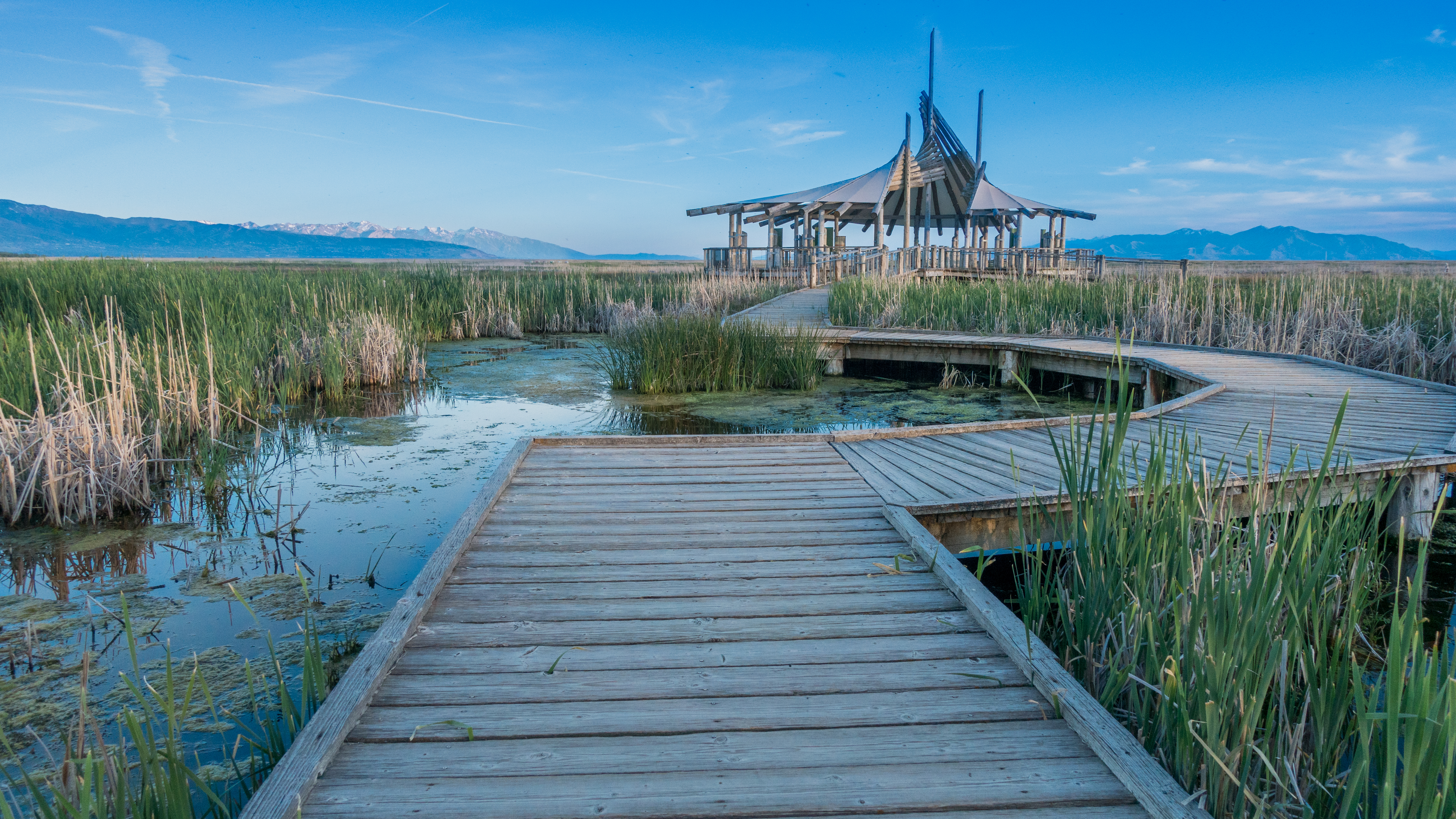
The Great Salt Lake Shorelands Preserve, UT

Antelope Impression

Layton,UT
20130428 Adams Canyon 019.jpg
A little piece of Utah paradise

Bountiful Lake

Shot with Colors

Hay !

The Great Salt Lake Shorelands Preserve, UT
Wetlands Preserve

Layton, UT
20130428 Adams Canyon 023.jpg
River Rock
Beaver Ponds on the back side of Francis peak HDR

10.12.17.

South Ogden, UT
Silver Lake

Good Morning Ogden
Topographic Map of 45 S E, Kaysville, UT, USA
Find elevation by address:

Places near 45 S E, Kaysville, UT, USA:
15 S 760 E
1134 Laurelwood Dr
1134 E Laurelwood Dr S
435 N 1150 E
Fruit Heights Castle Park
Davis High School
U.s. Highway 89
Fruit Heights City Shop
609 E 700 N
181 Crestwood Rd
Kaysville Junior High School
Morgan Elementary
1059 N Kingswood Rd
200 Main St
Kaysville
East Bedford Drive
Oakmont Lane
Fruit Heights
North Bedford Drive
S Mountain Rd, Fruit Heights, UT, USA
Recent Searches:
- Elevation of Groblershoop, South Africa
- Elevation of Power Generation Enterprises | Industrial Diesel Generators, Oak Ave, Canyon Country, CA, USA
- Elevation of Chesaw Rd, Oroville, WA, USA
- Elevation of N, Mt Pleasant, UT, USA
- Elevation of 6 Rue Jules Ferry, Beausoleil, France
- Elevation of Sattva Horizon, 4JC6+G9P, Vinayak Nagar, Kattigenahalli, Bengaluru, Karnataka, India
- Elevation of Great Brook Sports, Gold Star Hwy, Groton, CT, USA
- Elevation of 10 Mountain Laurels Dr, Nashua, NH, USA
- Elevation of 16 Gilboa Ln, Nashua, NH, USA
- Elevation of Laurel Rd, Townsend, TN, USA