Elevation of 11 E S, Kaysville, UT, USA
Location: United States > Utah > Davis County > Kaysville >
Longitude: -111.93839
Latitude: 41.0197562
Elevation: 1323m / 4341feet
Barometric Pressure: 86KPa
Elevation Map:
Satellite Map:
Related Photos:
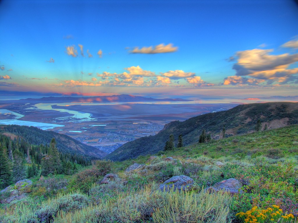
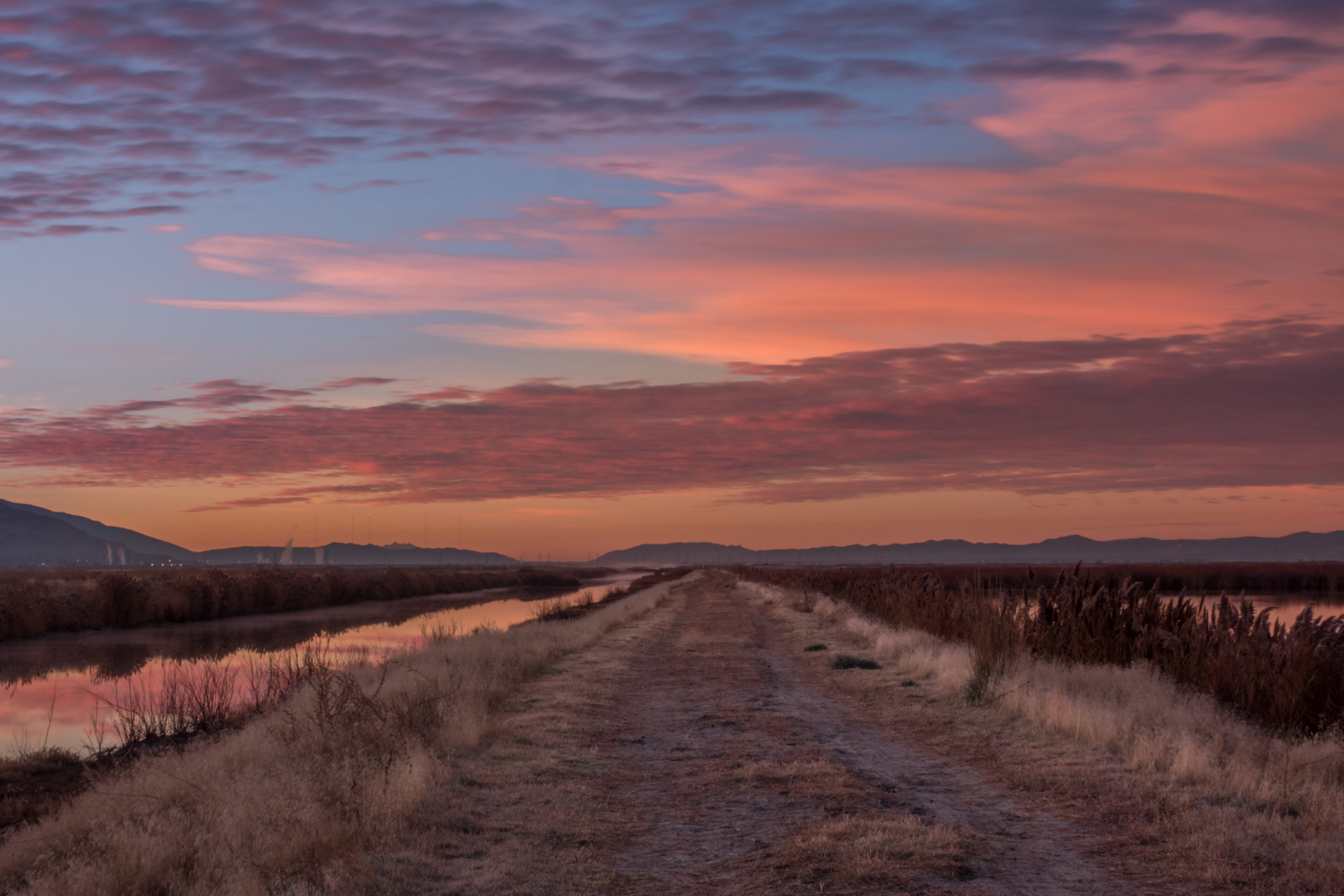
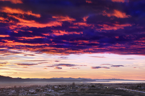
Great Salt Lake Morning View
South end of Antelope Island
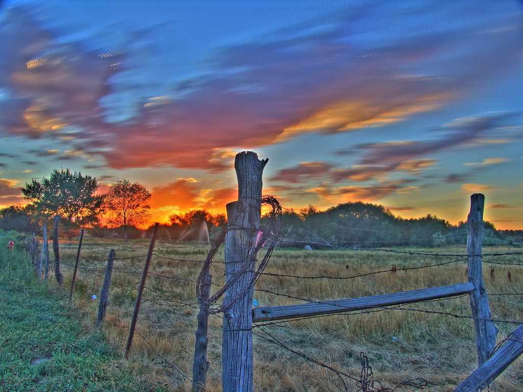
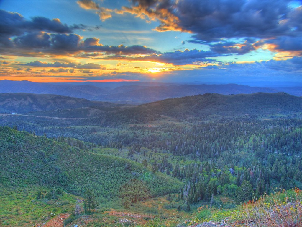
Sunset HDR

Dont forget to turn around...
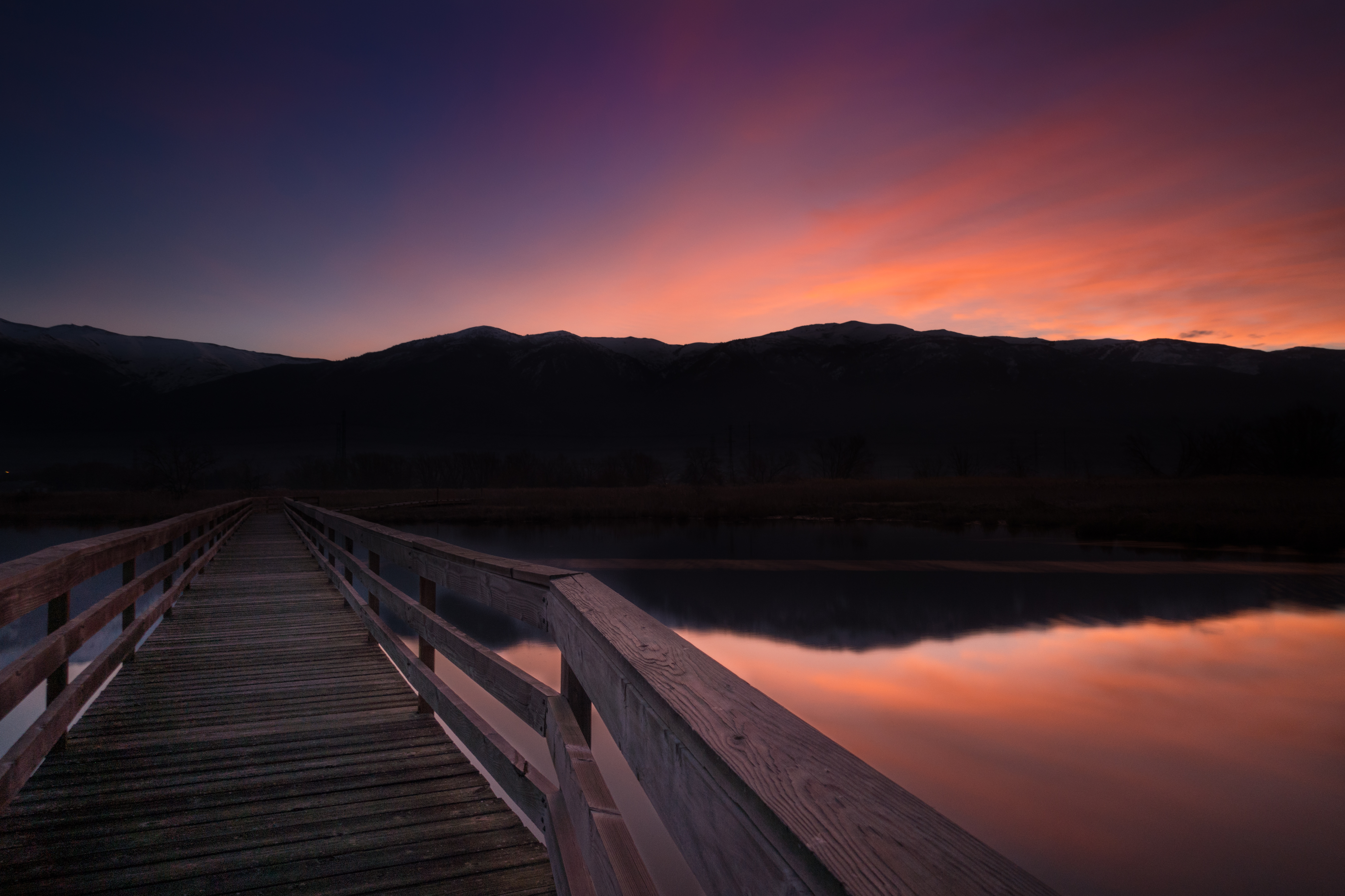
Looking North at Sunset.

church-cross.jpg
View of the Wasatch Mountains December 2016. The clouds are actually smog caused by the winter inversion. Credit to my daughter for taking this one.
Crying Sky
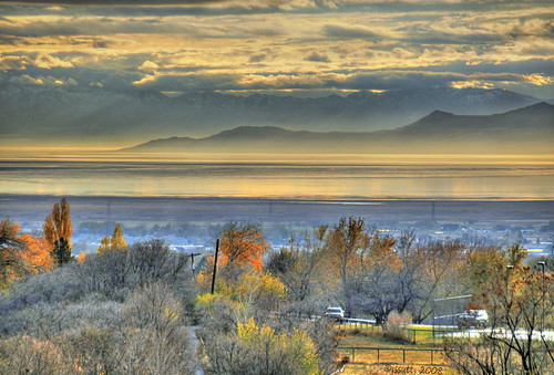
Morning View
Dike View

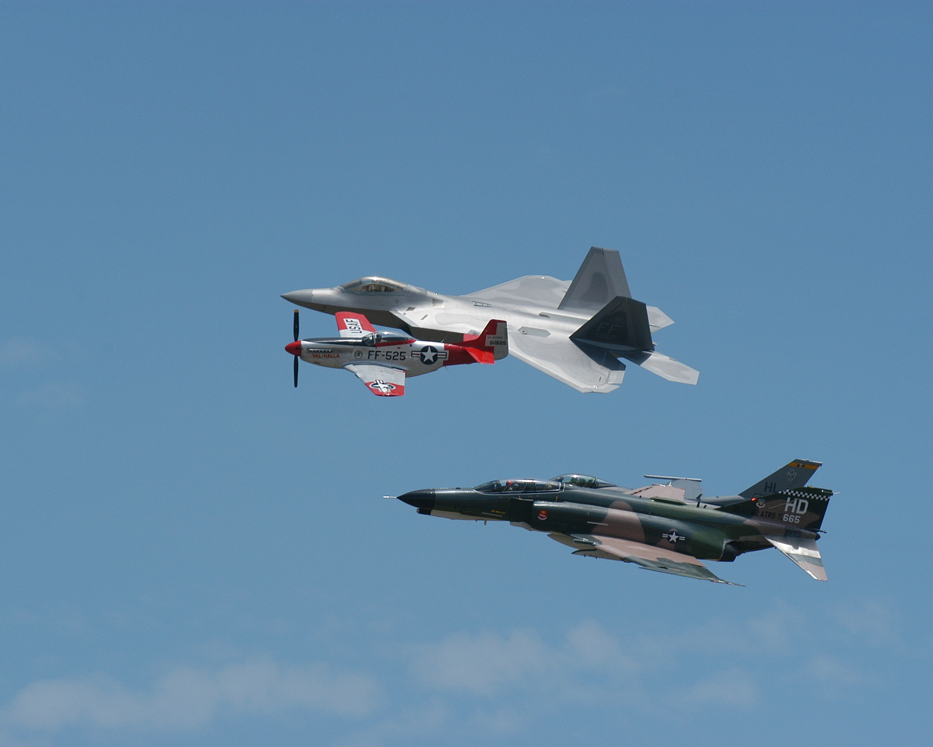
Union Pacific 844

The Scarlet Pimpernel - Viewmont High School - 0527
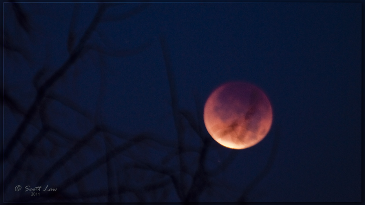
Lunar Eclipse Dec. 10, 2011

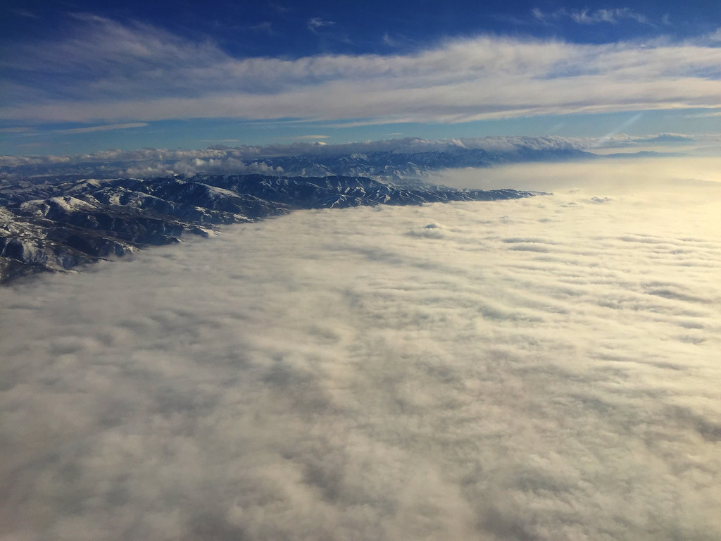
Contrails and Clouds
Formation #3
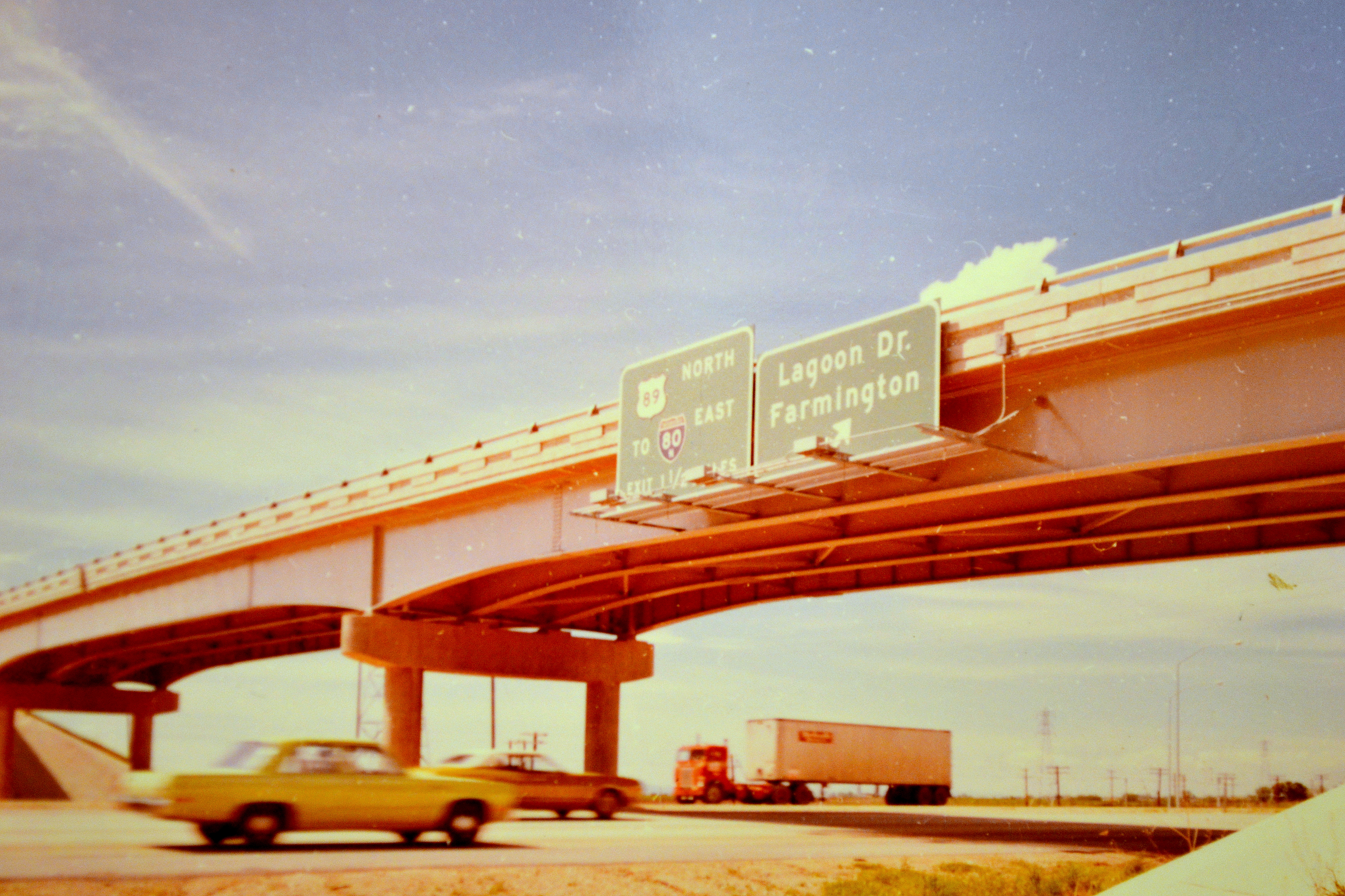
northbound I-15 at 200 West, 1972

The Scarlet Pimpernel - Viewmont High School - 0515

Eating the Sun
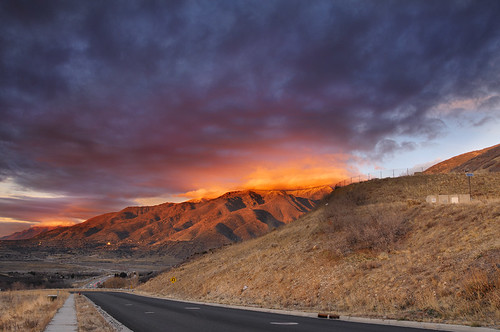
Sunset looking over Hill Air Force Base
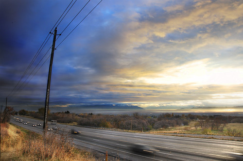
Traffic on Highway 89
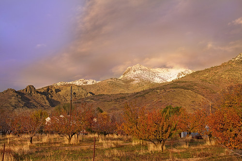
Autumn Snow on Wasatch Front
Ben Lomond
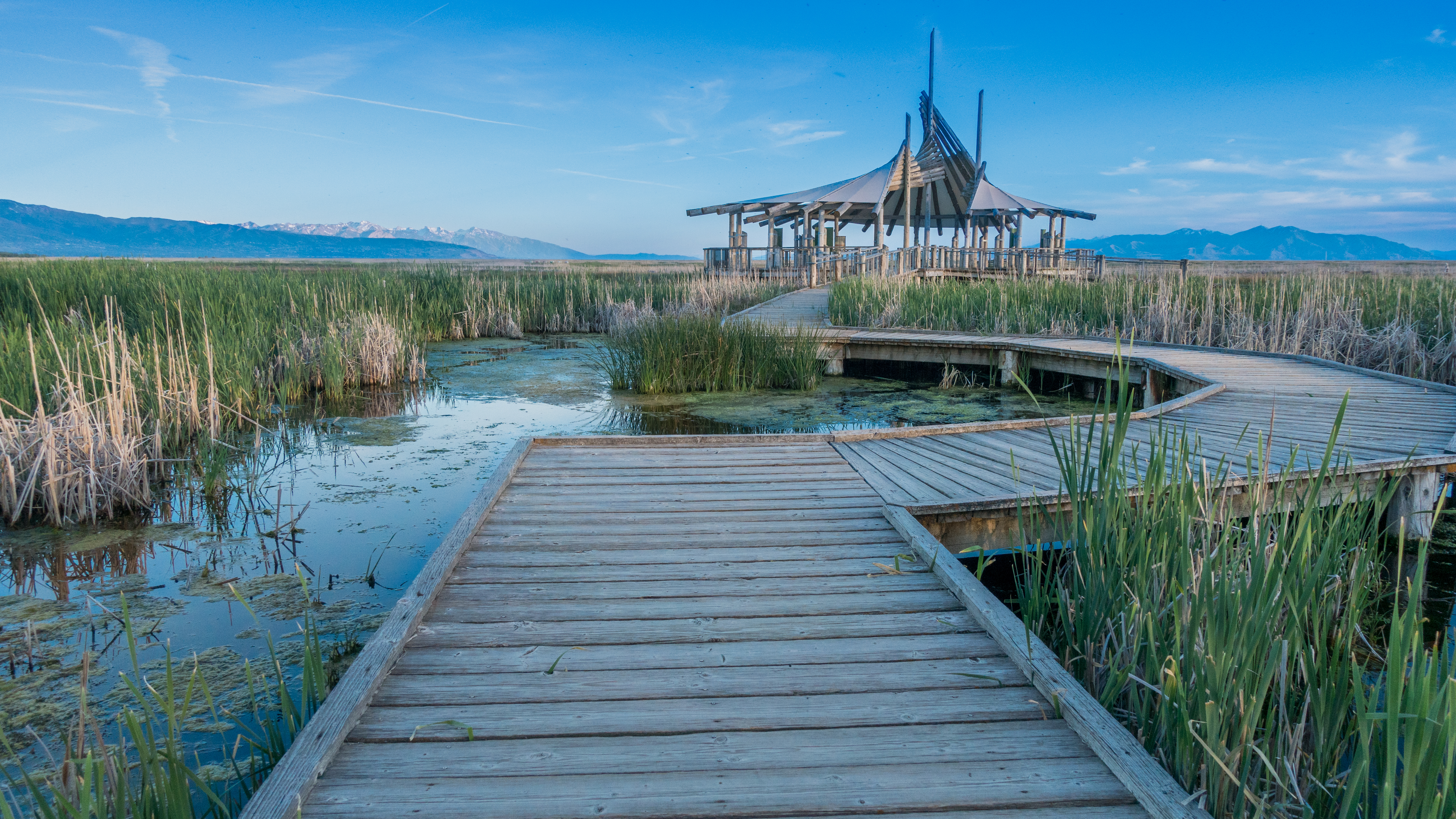
The Great Salt Lake Shorelands Preserve, UT
Layton,UT

Bountiful Lake
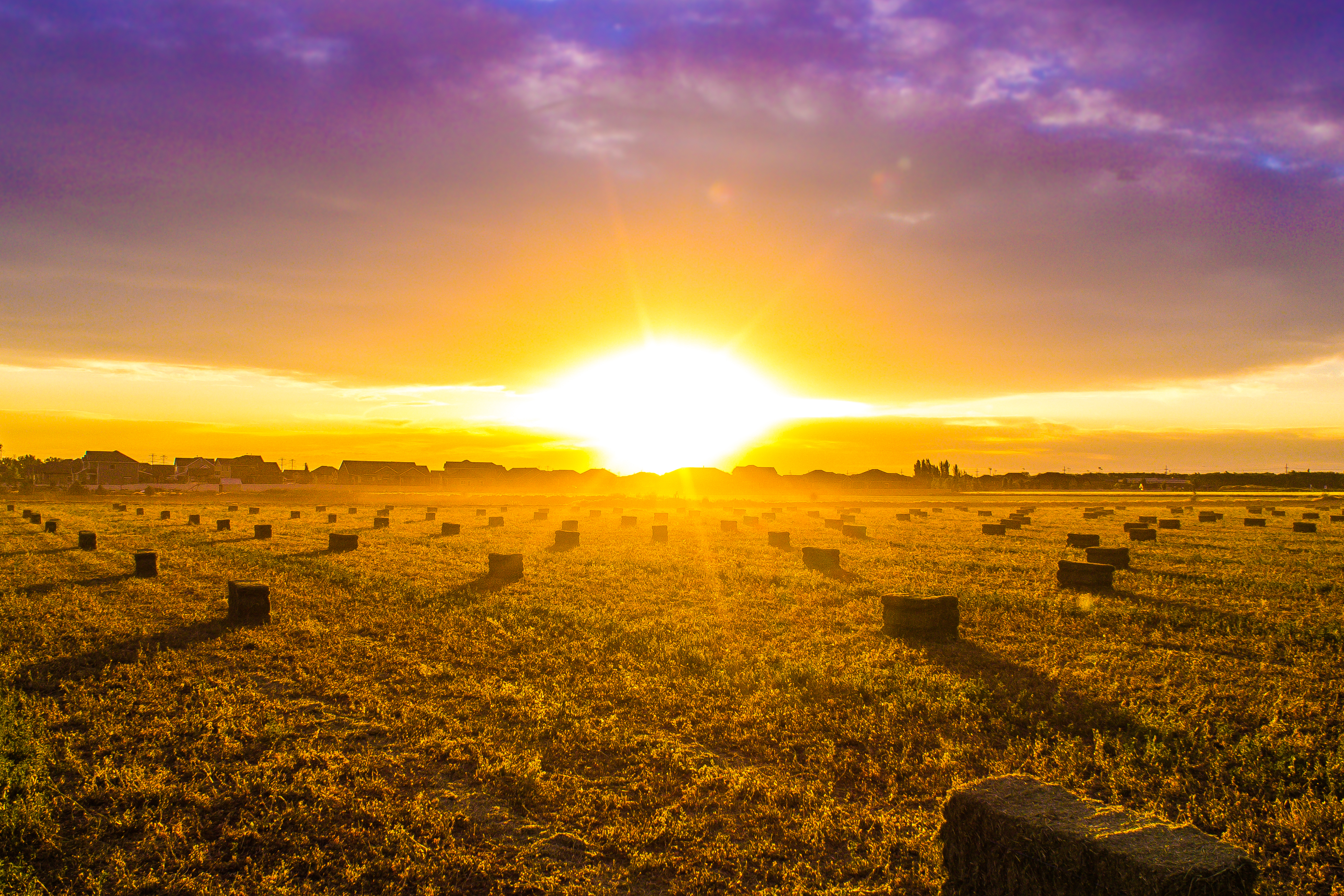
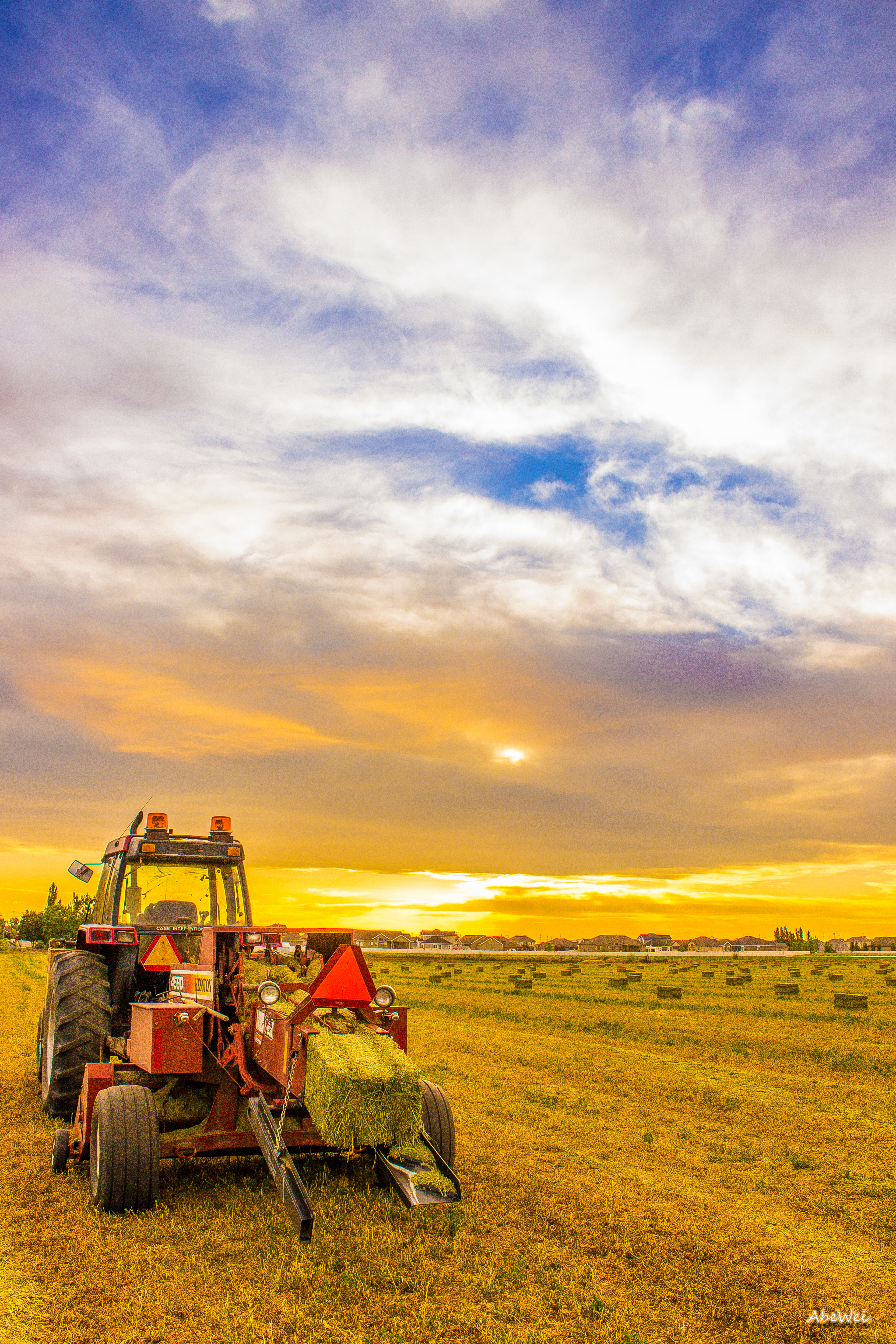
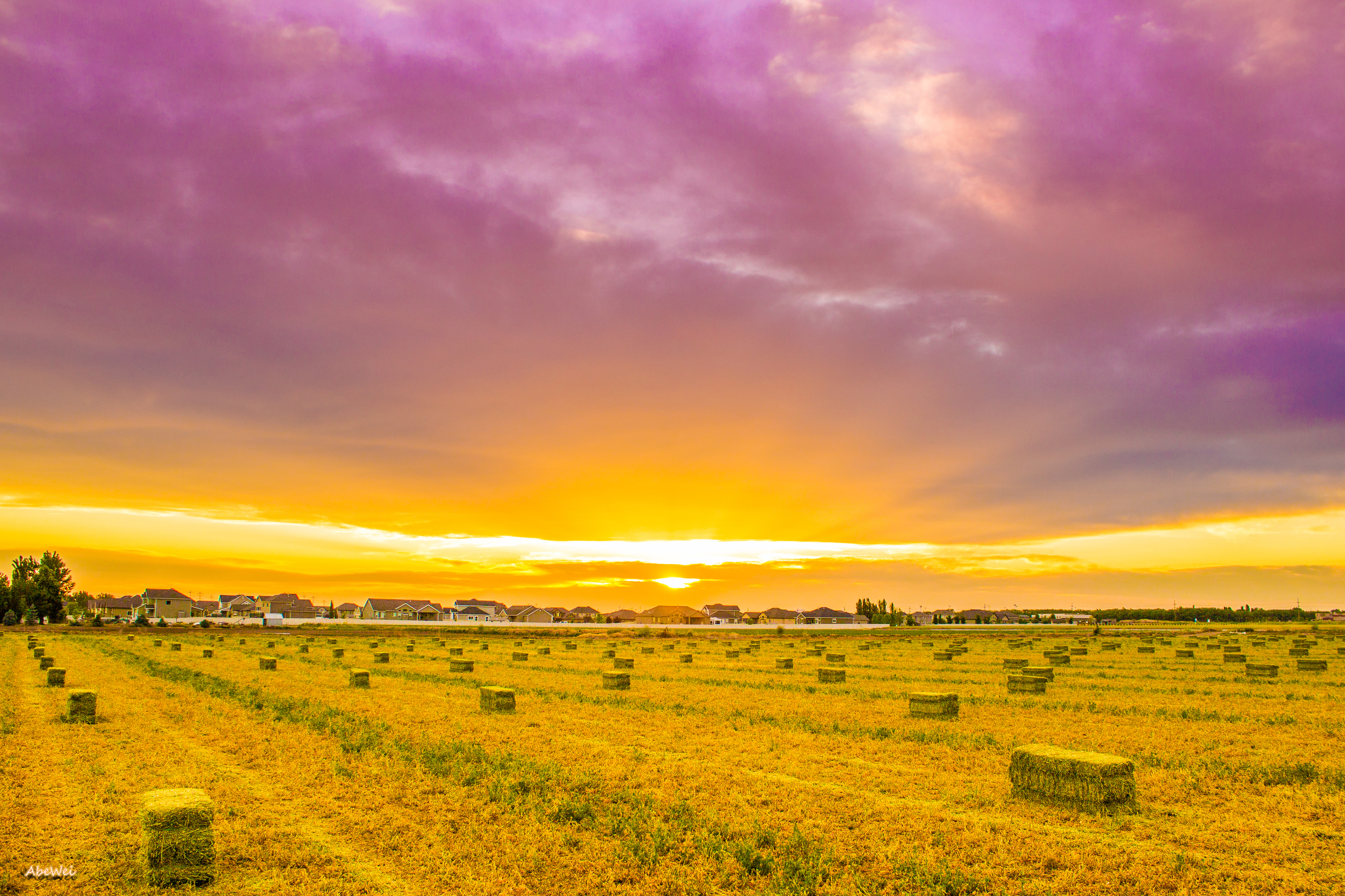
Hay !

The Great Salt Lake Shorelands Preserve, UT
Wetlands Preserve
Layton, UT
Bountiful Lake
River Rock
Beaver Ponds on the back side of Francis peak HDR
South Ogden, UT
Silver Lake

Shot with Colors
Fire and Ice
20130428 Adams Canyon 017.jpg

IMG_8086.DNG
Another of Bob's ponds

IMG_8062.DNG

Another Pond
Farmington Bay
Topographic Map of 11 E S, Kaysville, UT, USA
Find elevation by address:

Places near 11 E S, Kaysville, UT, USA:
Usu Botanical Center
Kaysville Junior High School
Davis High School
Kaysville
Sunset Dr, Kaysville, UT, USA
200 Main St
2196 275 E
181 Crestwood Rd
45 S 760 E
15 S 760 E
Fruit Heights Castle Park
1134 Laurelwood Dr
1134 E Laurelwood Dr S
854 W 450 N
Fruit Heights City Shop
609 E 700 N
U.s. Highway 89
471 W Old Fort Rd
435 N 1150 E
Summer Wood Dr, Farmington, UT, USA
Recent Searches:
- Elevation of Rojo Ct, Atascadero, CA, USA
- Elevation of Flagstaff Drive, Flagstaff Dr, North Carolina, USA
- Elevation of Avery Ln, Lakeland, FL, USA
- Elevation of Woolwine, VA, USA
- Elevation of Lumagwas Diversified Farmers Multi-Purpose Cooperative, Lumagwas, Adtuyon, RV32+MH7, Pangantucan, Bukidnon, Philippines
- Elevation of Homestead Ridge, New Braunfels, TX, USA
- Elevation of Orchard Road, Orchard Rd, Marlborough, NY, USA
- Elevation of 12 Hutchinson Woods Dr, Fletcher, NC, USA
- Elevation of Holloway Ave, San Francisco, CA, USA
- Elevation of Norfolk, NY, USA