Elevation of Jackson, KS, USA
Location: United States > Kansas > Riley County >
Longitude: -96.770813
Latitude: 39.4343102
Elevation: 374m / 1227feet
Barometric Pressure: 97KPa
Elevation Map:
Satellite Map:
Related Photos:
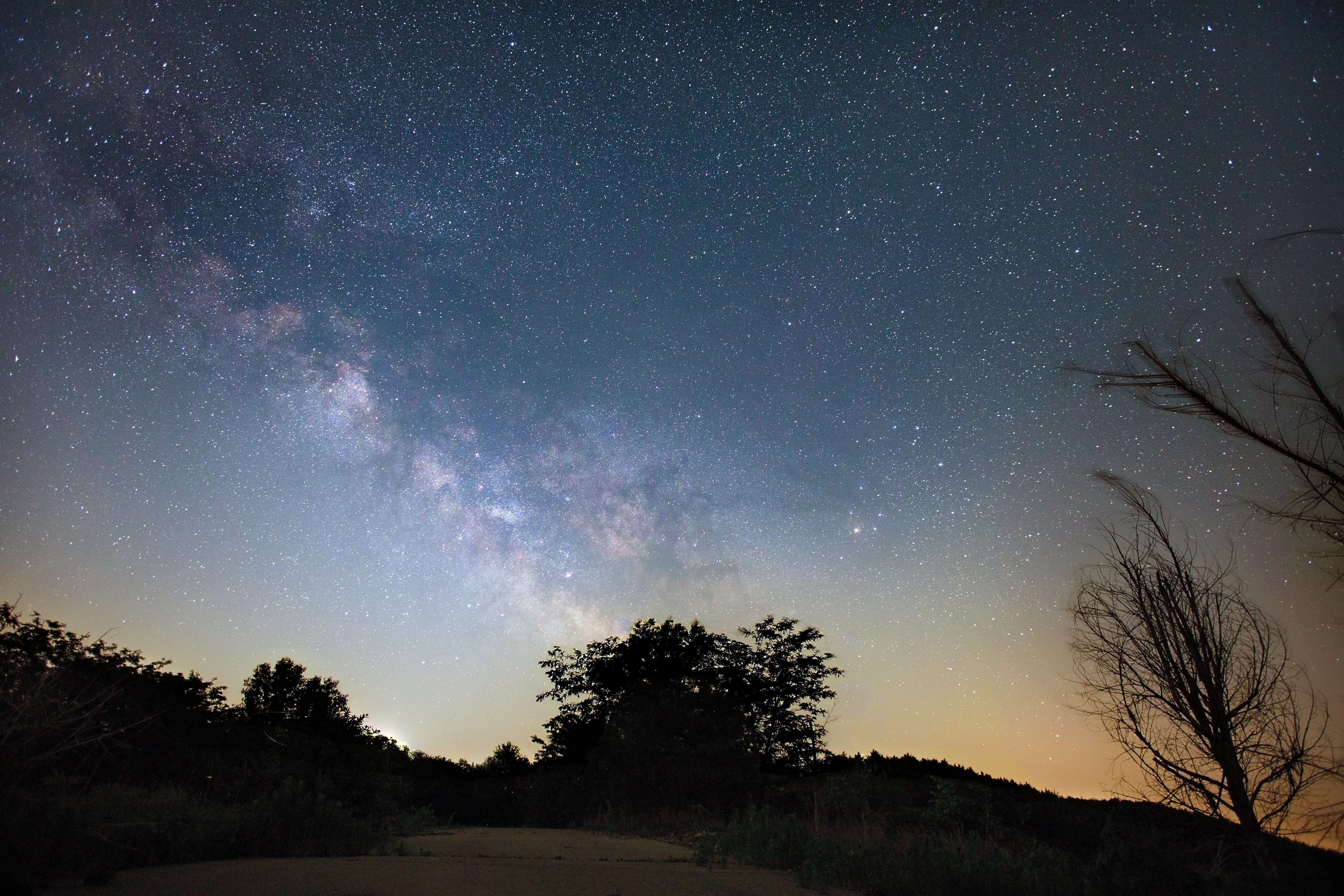
Milky Way

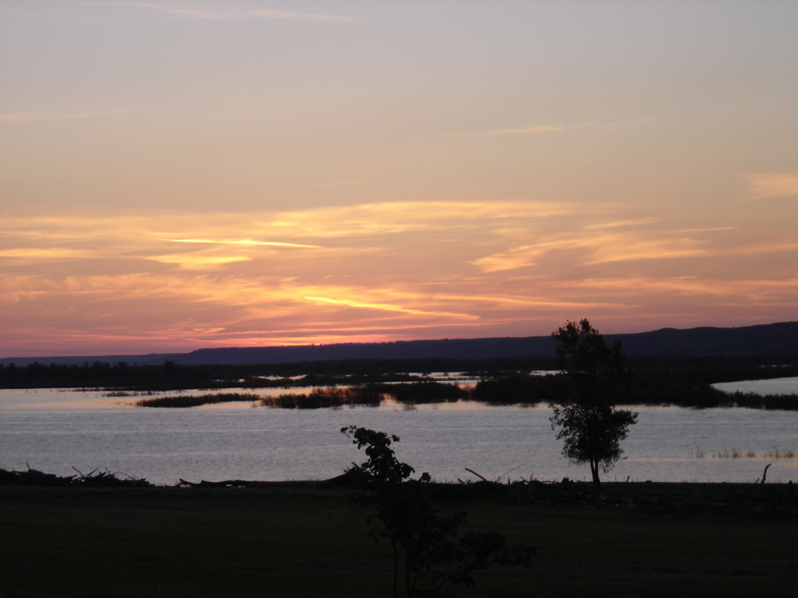
Boxing Sunset: Windmill View

Ducks, Airplanes, The Sun... This Fence Can Hold None Back

Boxing Sunset: Headstone View

Boxing Sunset: Tree View
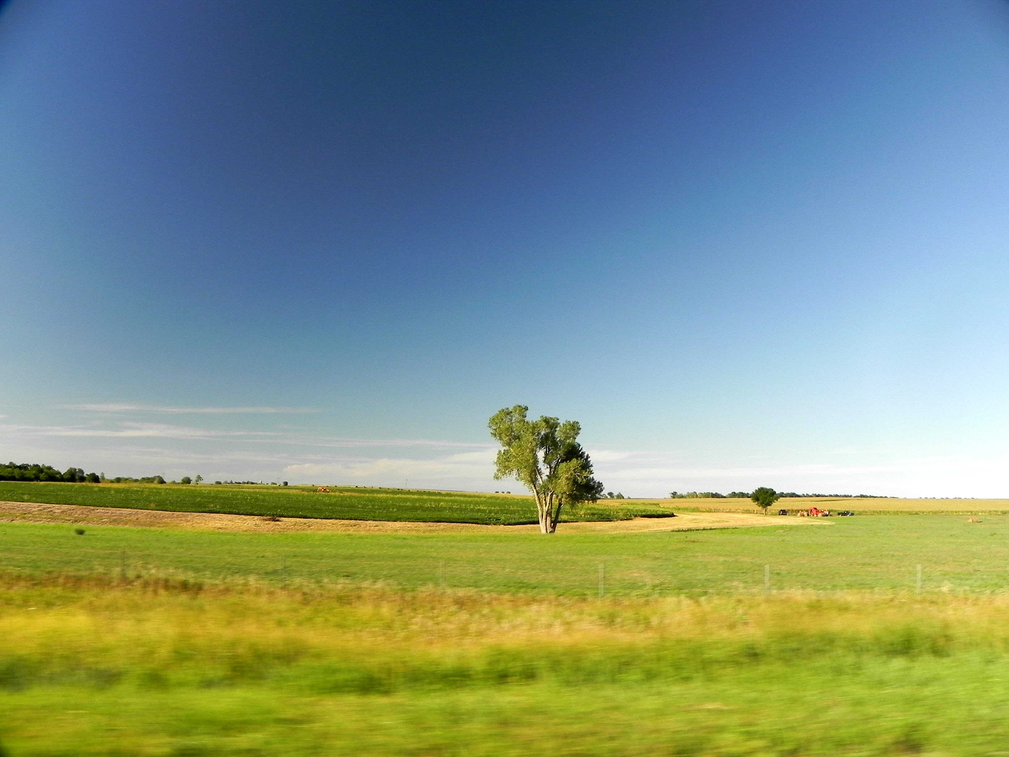
Flying Through Kansas
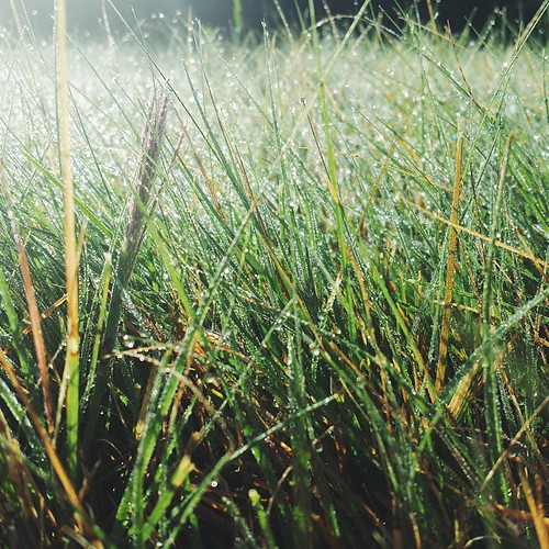
There was lots of dew on the grass yesterday morning when we woke up. It was quite pretty.

Turkey Family -leave me Alone!!!-

Vast Sunflowers

County Road

The stop of the day
Sunrise over Tuttle.

Milo (Grain Sorghum)

Framed Sunflowers
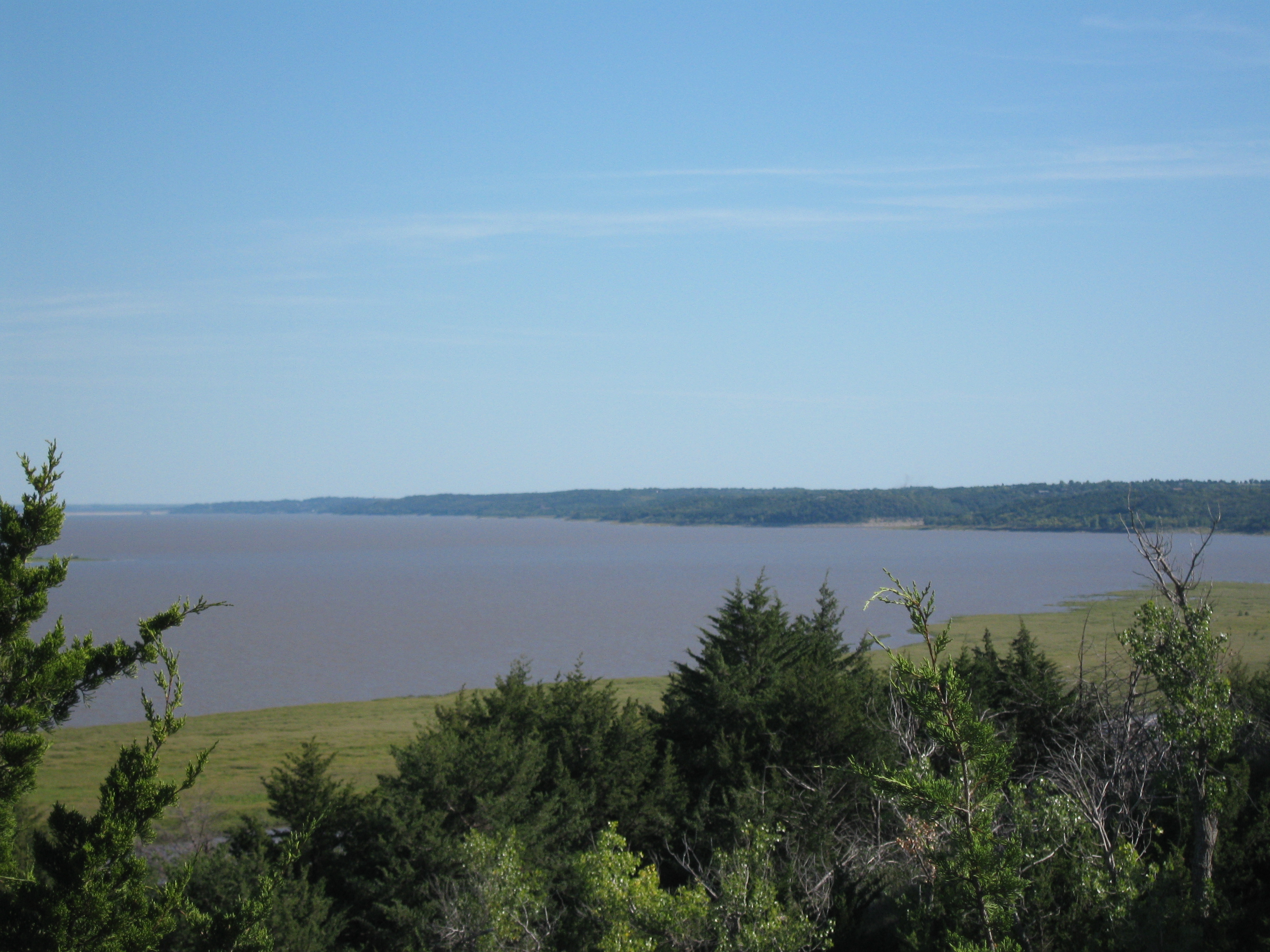
Tuttle Creek Lake

IMG_5598.JPG

IMG_5584.JPG

IMG_5585.JPG
IMG_5573.JPG
Topographic Map of Jackson, KS, USA
Find elevation by address:

Places in Jackson, KS, USA:
Places near Jackson, KS, USA:
E Randolph St, Randolph, KS, USA
Randolph
Walsburg Rd, Leonardville, KS, USA
Lincoln
Highland
396 Yankee Rd
Green
Valley Heights
Waterville
Shannon
Waterville
Main St, Westmoreland, KS, USA
Rock Creek
14802 Rock Creek Rd
Westmoreland
N 3rd St, Westmoreland, KS, USA
19090 Kansas Ave
Marshall County
15600 Hartwich Rd
Pottawatomie County
Recent Searches:
- Elevation of Corso Fratelli Cairoli, 35, Macerata MC, Italy
- Elevation of Tallevast Rd, Sarasota, FL, USA
- Elevation of 4th St E, Sonoma, CA, USA
- Elevation of Black Hollow Rd, Pennsdale, PA, USA
- Elevation of Oakland Ave, Williamsport, PA, USA
- Elevation of Pedrógão Grande, Portugal
- Elevation of Klee Dr, Martinsburg, WV, USA
- Elevation of Via Roma, Pieranica CR, Italy
- Elevation of Tavkvetili Mountain, Georgia
- Elevation of Hartfords Bluff Cir, Mt Pleasant, SC, USA