Elevation of N 3rd St, Westmoreland, KS, USA
Location: United States > Kansas > Pottawatomie County > Rock Creek > Westmoreland >
Longitude: -96.413326
Latitude: 39.393886
Elevation: 367m / 1204feet
Barometric Pressure: 97KPa
Elevation Map:
Satellite Map:
Related Photos:

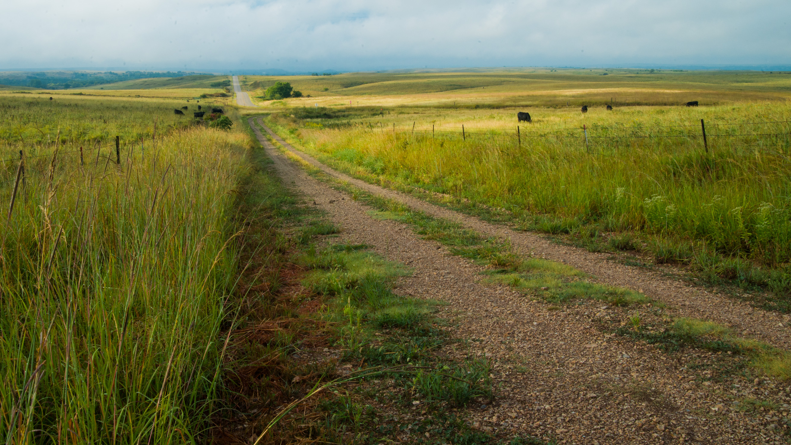
Coming onto Carnahan Road

Sunset near Holton August 3 2010
Mud road after a spring shower

Washed out road
2013TallgrassRR 215

2013TallgrassRR 214
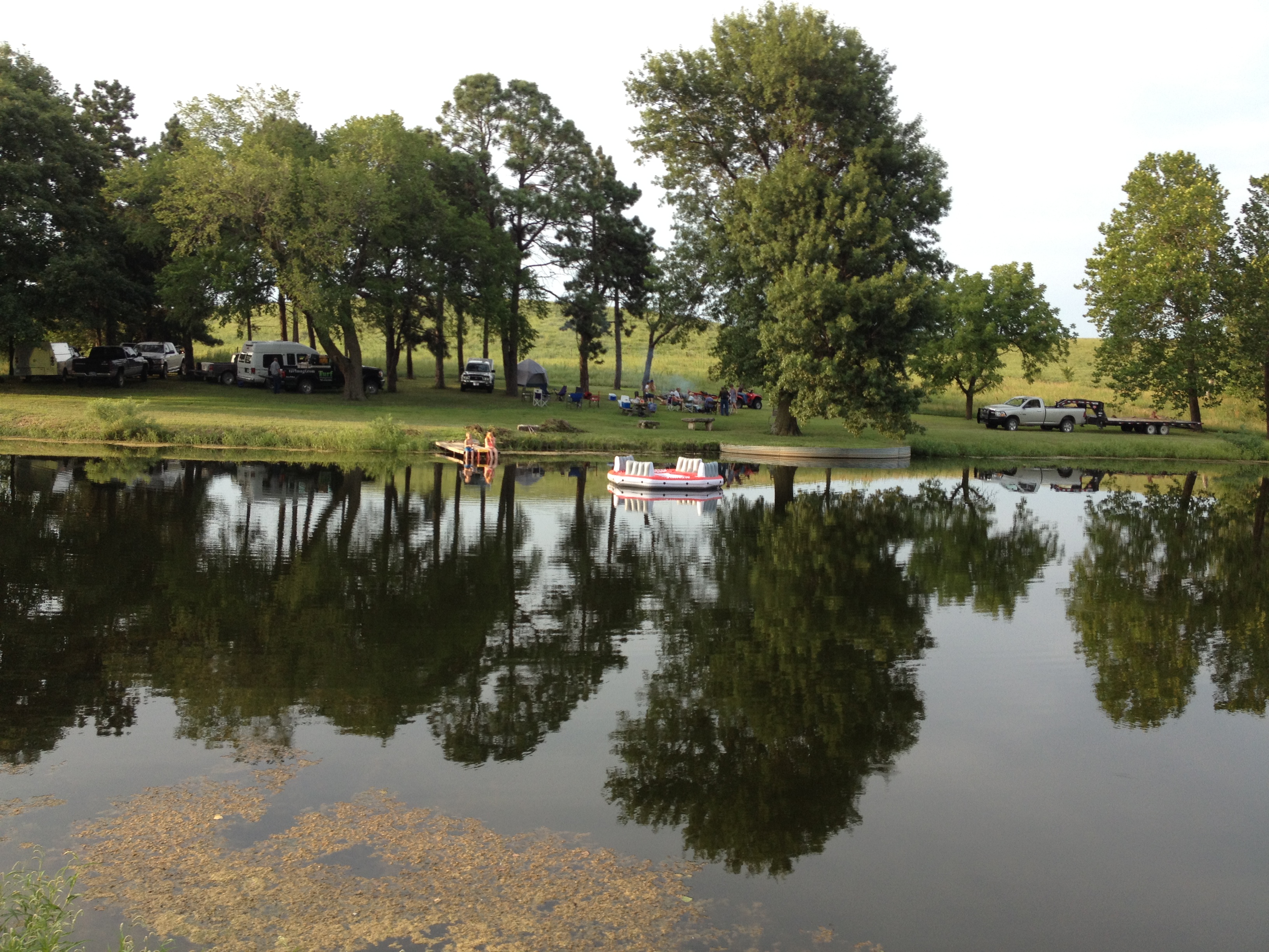
Avery Spring Pond
2013TallgrassRR 213

Sunset near Holton August 3 2010

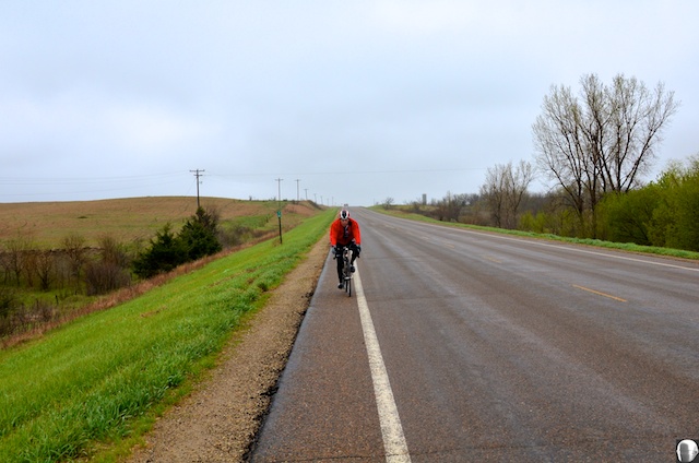
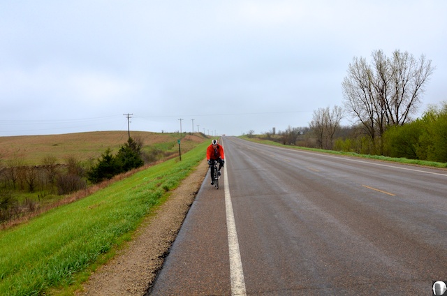
Sunday Drive
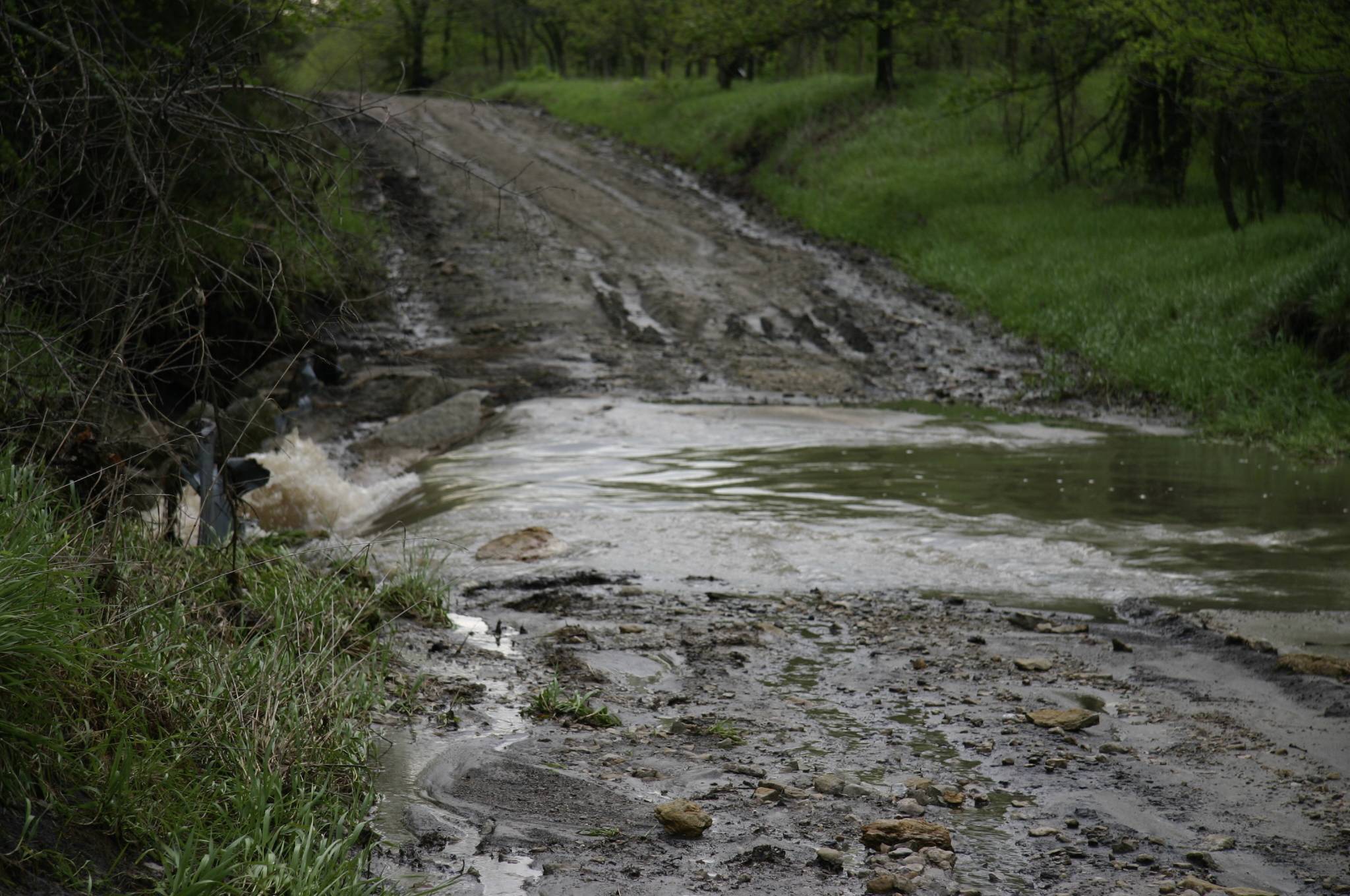
Washed out road

Cattle grouping for storm
Topographic Map of N 3rd St, Westmoreland, KS, USA
Find elevation by address:

Places near N 3rd St, Westmoreland, KS, USA:
Westmoreland
14802 Rock Creek Rd
Rock Creek
15600 Hartwich Rd
Pottawatomie County
19090 Kansas Ave
Main St, Westmoreland, KS, USA
Shannon
20795 Major Jenkins Rd
Onaga
Leonard St, Onaga, KS, USA
Mill Creek
17857 Day Rd
Marshall County
Grant
Randolph
E Randolph St, Randolph, KS, USA
Havensville
Pottawatomie St, Soldier, KS, USA
Jackson
Recent Searches:
- Elevation of Luther Road, Luther Rd, Auburn, CA, USA
- Elevation of Unnamed Road, Respublika Severnaya Osetiya — Alaniya, Russia
- Elevation of Verkhny Fiagdon, North Ossetia–Alania Republic, Russia
- Elevation of F. Viola Hiway, San Rafael, Bulacan, Philippines
- Elevation of Herbage Dr, Gulfport, MS, USA
- Elevation of Lilac Cir, Haldimand, ON N3W 2G9, Canada
- Elevation of Harrod Branch Road, Harrod Branch Rd, Kentucky, USA
- Elevation of Wyndham Grand Barbados Sam Lords Castle All Inclusive Resort, End of Belair Road, Long Bay, Bridgetown Barbados
- Elevation of Iga Trl, Maggie Valley, NC, USA
- Elevation of N Co Rd 31D, Loveland, CO, USA