Elevation of E Randolph St, Randolph, KS, USA
Location: United States > Kansas > Riley County > Jackson > Randolph >
Longitude: -96.760085
Latitude: 39.4304024
Elevation: 378m / 1240feet
Barometric Pressure: 97KPa
Elevation Map:
Satellite Map:
Related Photos:
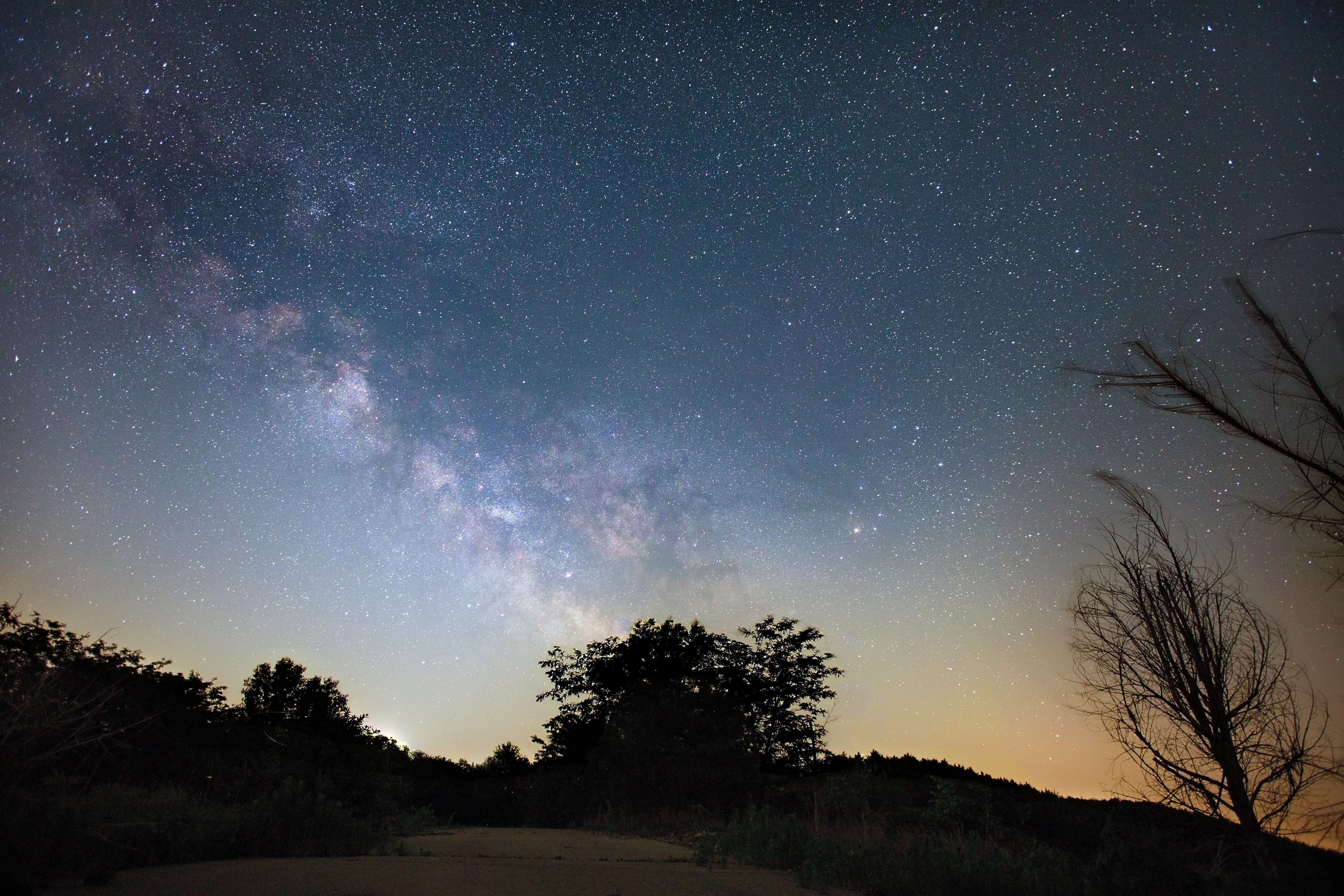
Milky Way

Boxing Sunset: Windmill View

Ducks, Airplanes, The Sun... This Fence Can Hold None Back

Boxing Sunset: Headstone View

Boxing Sunset: Tree View
Flying Through Kansas

There was lots of dew on the grass yesterday morning when we woke up. It was quite pretty.

Heron -leave me Alone!!!-

Turkey Family -leave me Alone!!!-

Vast Sunflowers

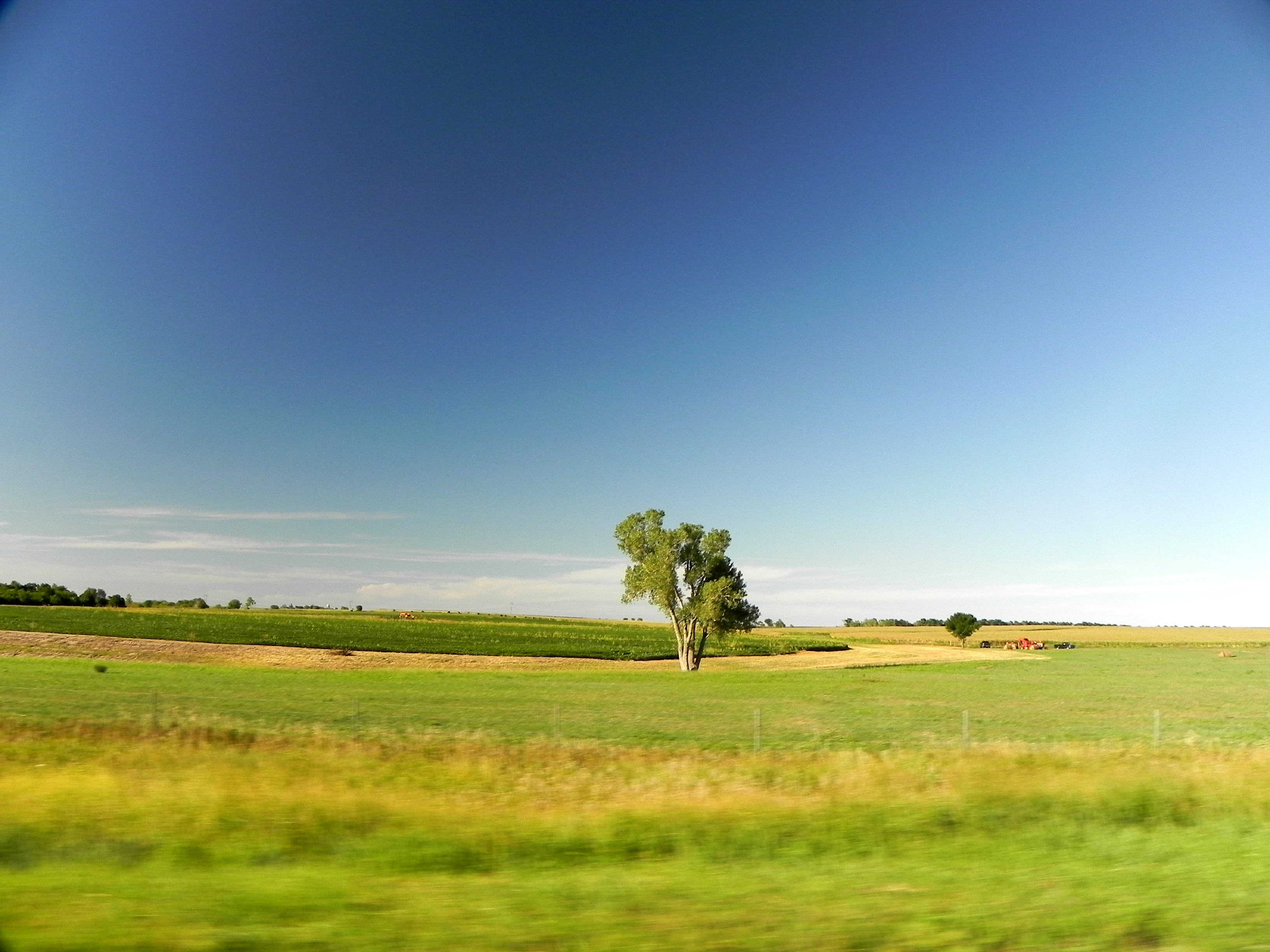
County Road

CW-Fog-1

The stop of the day

"Sun Burst"
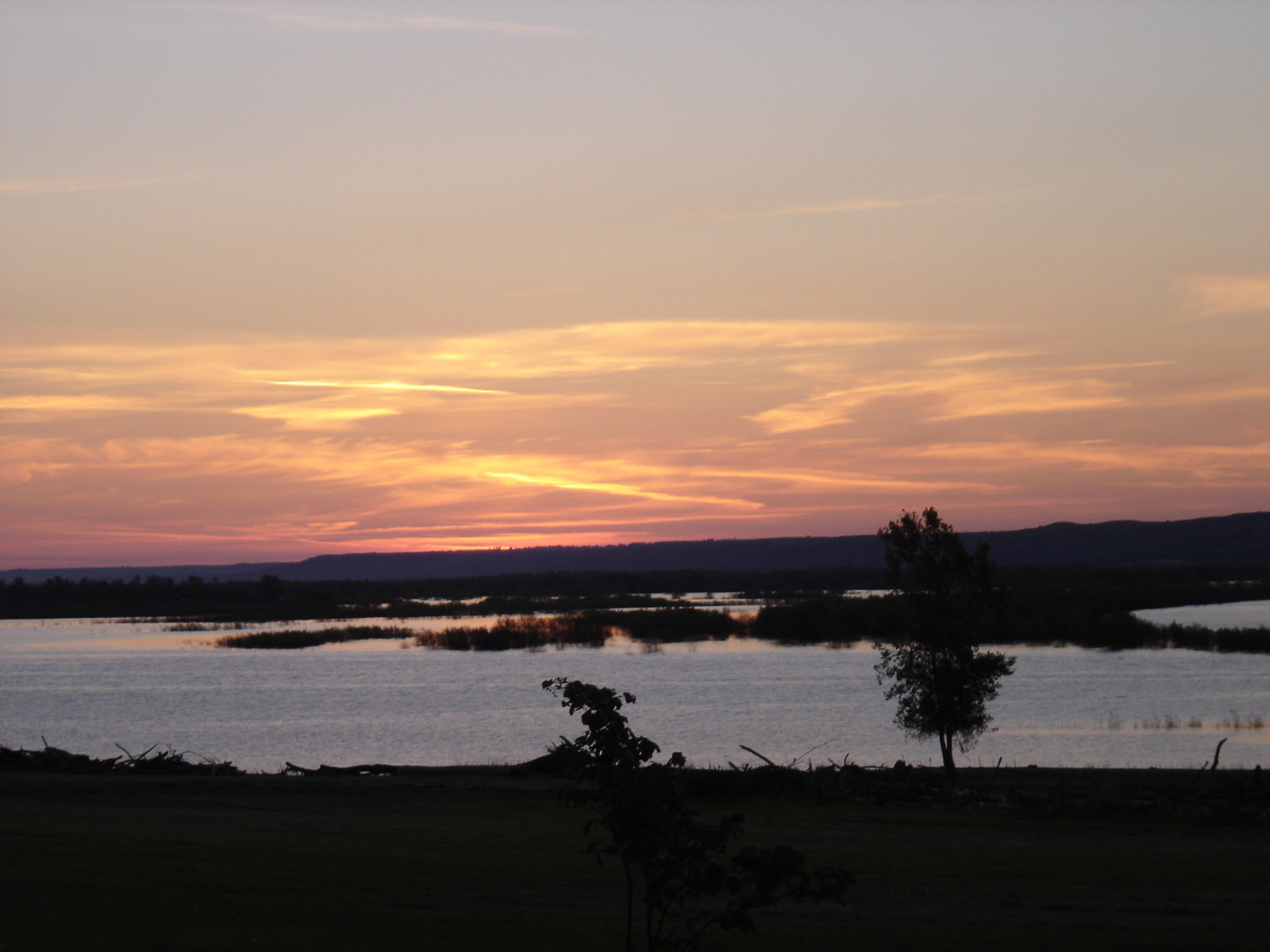
Sunrise over Tuttle.

Milo (Grain Sorghum)

Framed Sunflowers
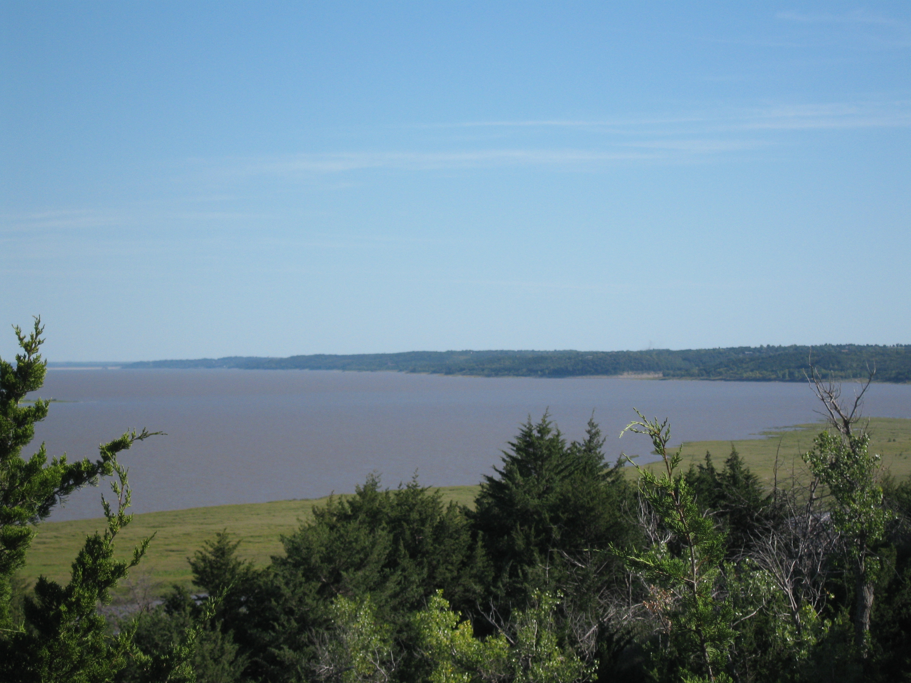
Tuttle Creek Lake

IMG_5598.JPG

IMG_5584.JPG

IMG_5585.JPG

IMG_5573.JPG
Topographic Map of E Randolph St, Randolph, KS, USA
Find elevation by address:

Places near E Randolph St, Randolph, KS, USA:
Randolph
Jackson
Walsburg Rd, Leonardville, KS, USA
Lincoln
Highland
396 Yankee Rd
Valley Heights
Green
Shannon
Main St, Westmoreland, KS, USA
Waterville
Waterville
Rock Creek
14802 Rock Creek Rd
Westmoreland
N 3rd St, Westmoreland, KS, USA
19090 Kansas Ave
Marshall County
15600 Hartwich Rd
Pottawatomie County
Recent Searches:
- Elevation of Corso Fratelli Cairoli, 35, Macerata MC, Italy
- Elevation of Tallevast Rd, Sarasota, FL, USA
- Elevation of 4th St E, Sonoma, CA, USA
- Elevation of Black Hollow Rd, Pennsdale, PA, USA
- Elevation of Oakland Ave, Williamsport, PA, USA
- Elevation of Pedrógão Grande, Portugal
- Elevation of Klee Dr, Martinsburg, WV, USA
- Elevation of Via Roma, Pieranica CR, Italy
- Elevation of Tavkvetili Mountain, Georgia
- Elevation of Hartfords Bluff Cir, Mt Pleasant, SC, USA