Elevation of Marshall County, KS, USA
Location: United States > Kansas >
Longitude: -96.492979
Latitude: 39.717719
Elevation: 389m / 1276feet
Barometric Pressure: 97KPa
Elevation Map:
Satellite Map:
Related Photos:

All Welcome Here
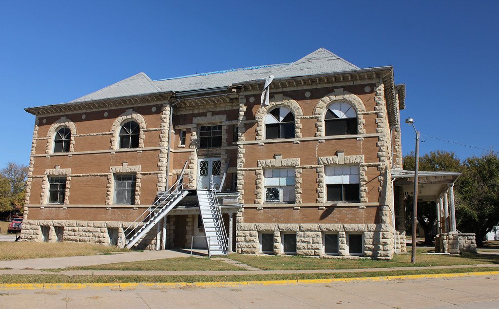
Frankfort Grade School (side view) - Frankfort, KS
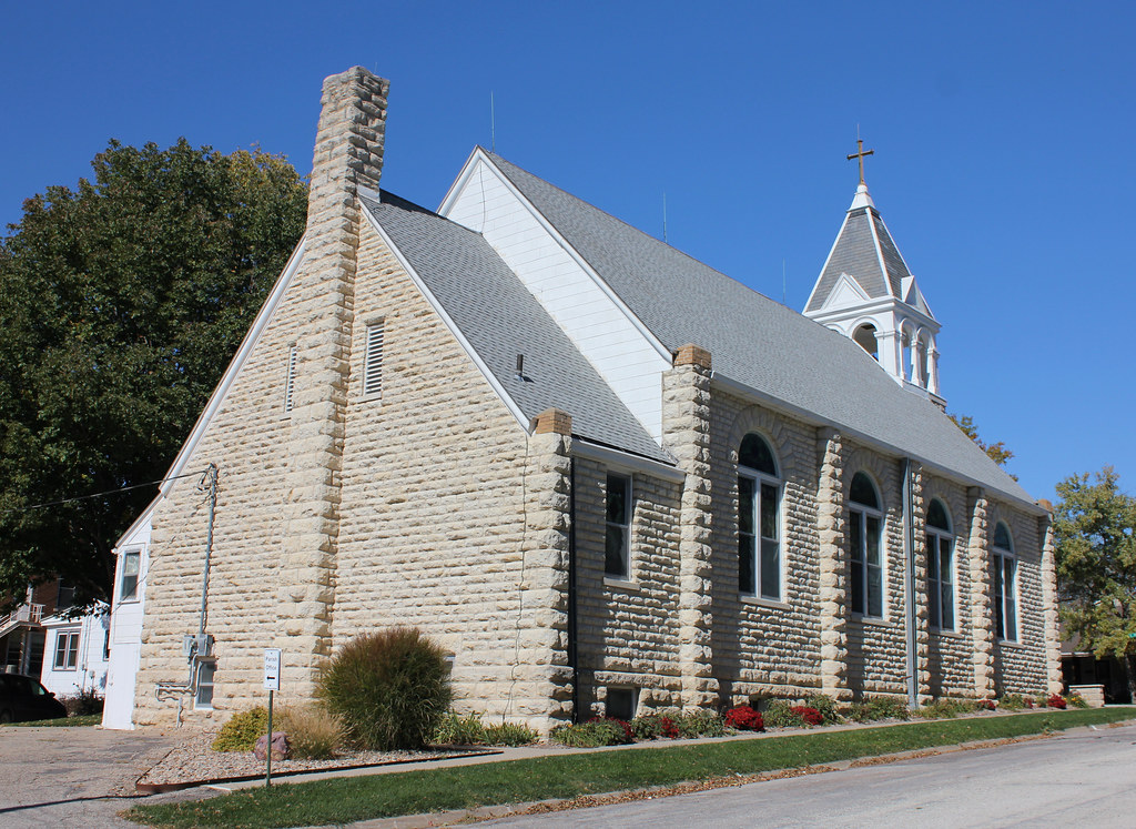
Annunciation Catholic Church (rear view) - Frankfort, KS
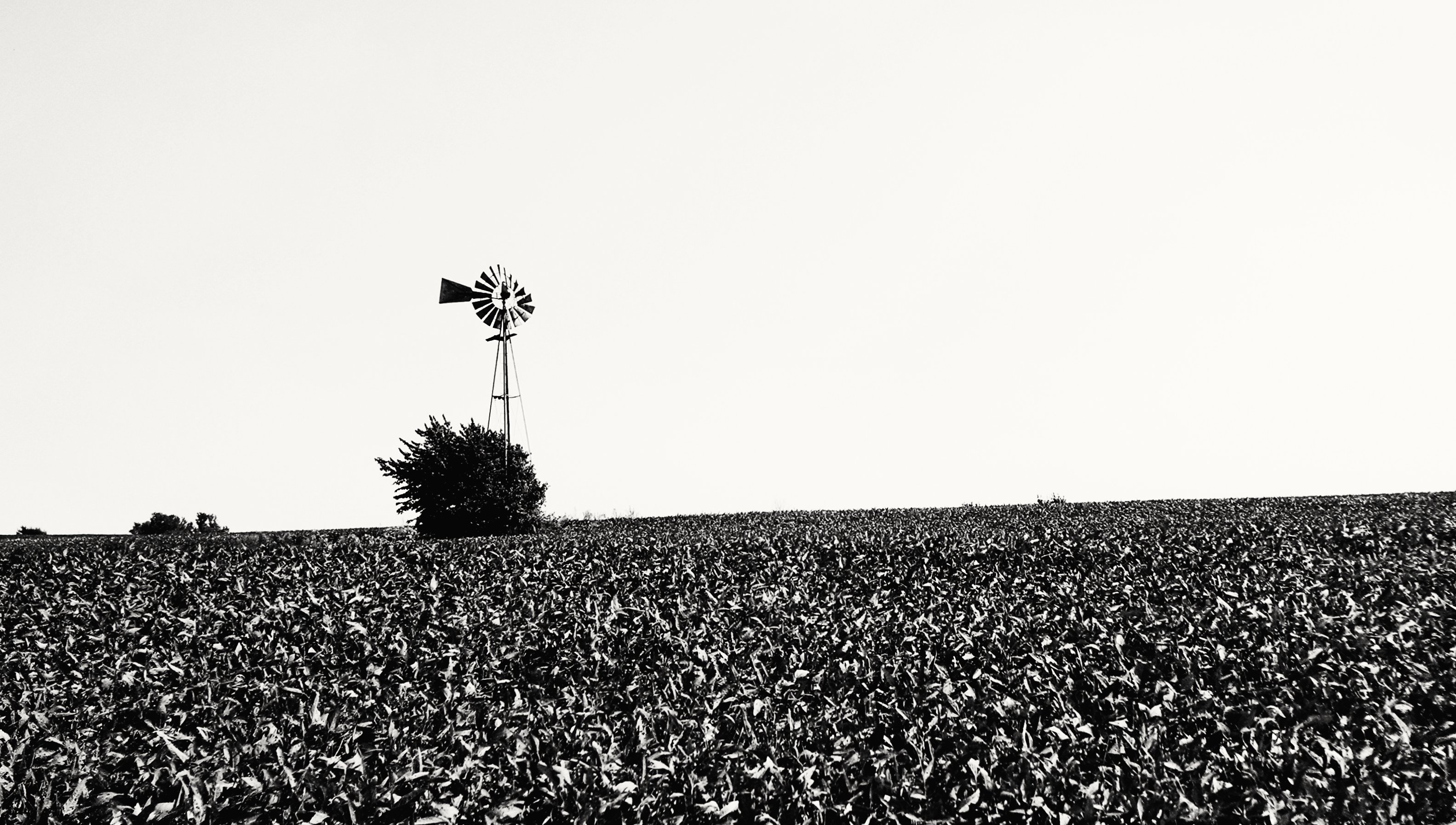
Was A Windmill
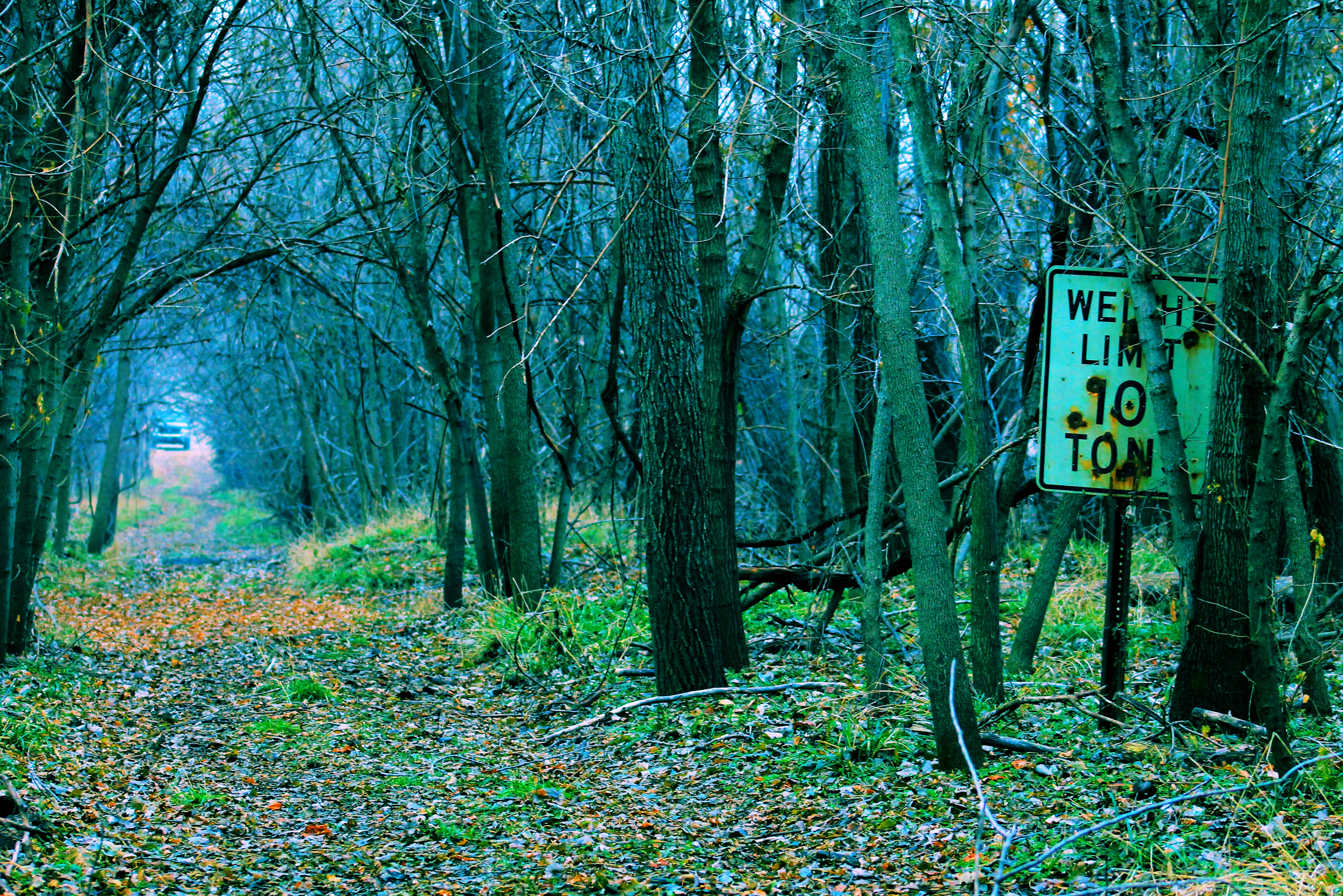
heavytraffic12-6
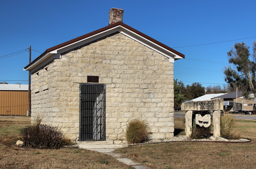
Frankfort Jail - Frankfort, KS
Friedens Lutheran Church (Former) - Home, KS
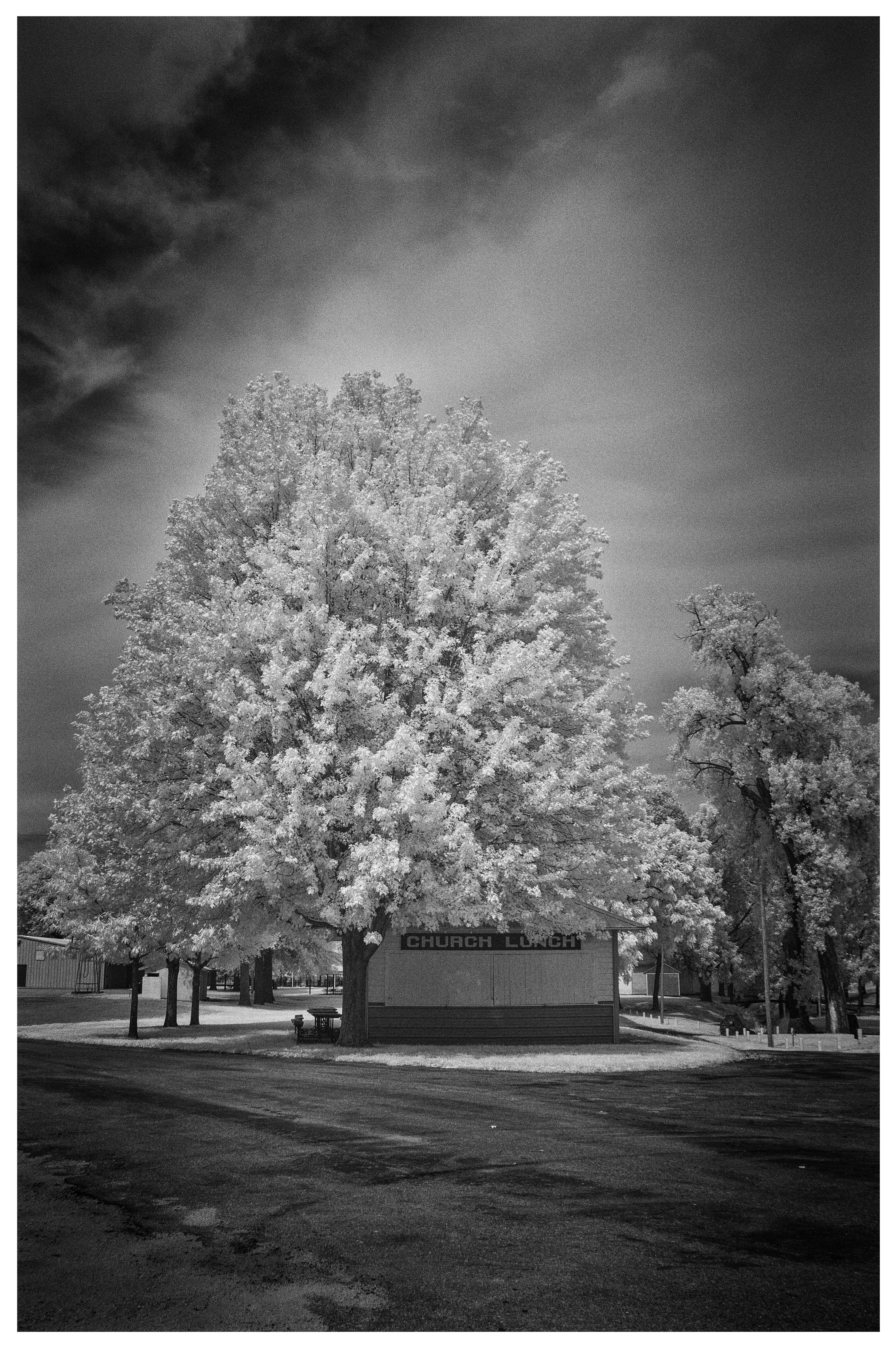
Church Lunch

6-27-15 Studer-Brown

6-27-15 Studer-Brown
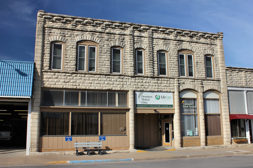
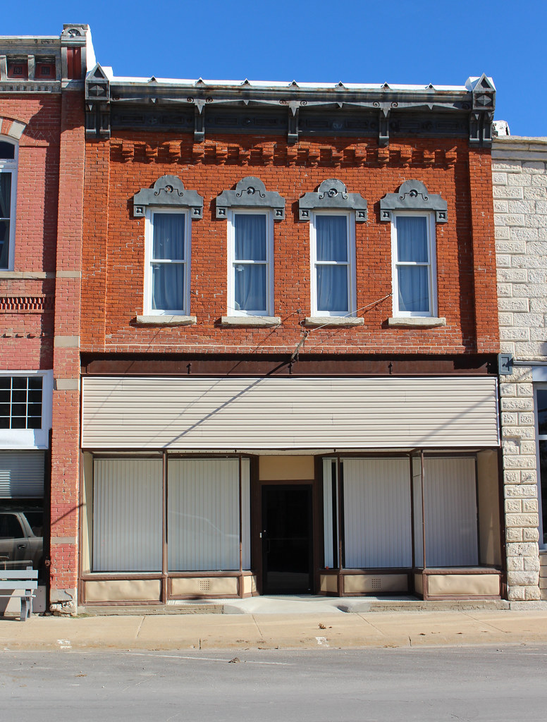
Downtown Building - Frankfort, KS
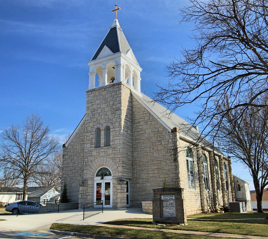
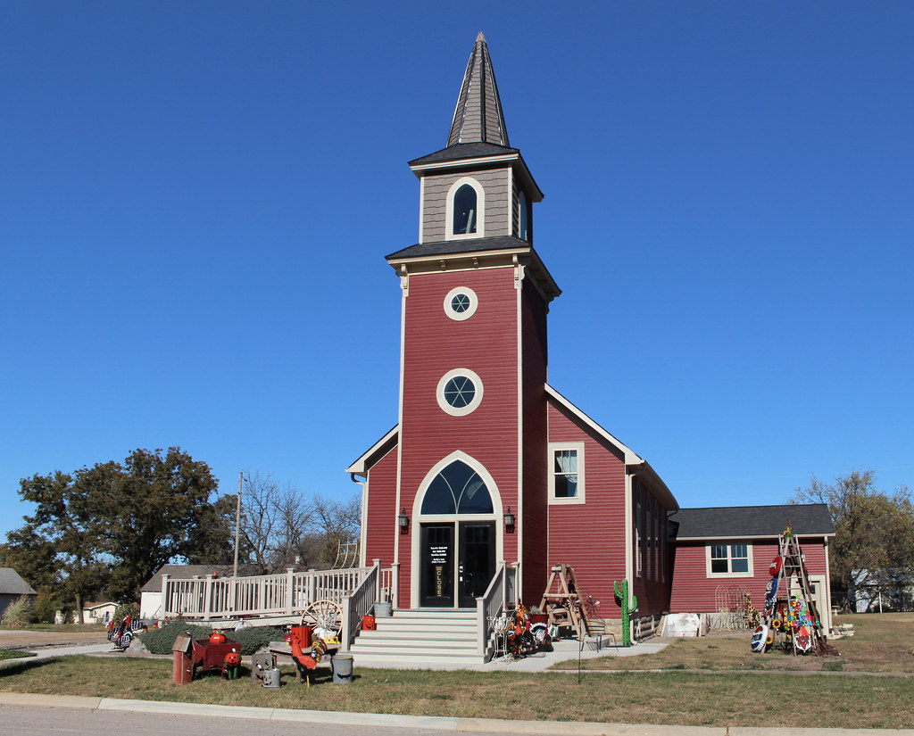
Annunciation Catholic Church - Frankfort, KS
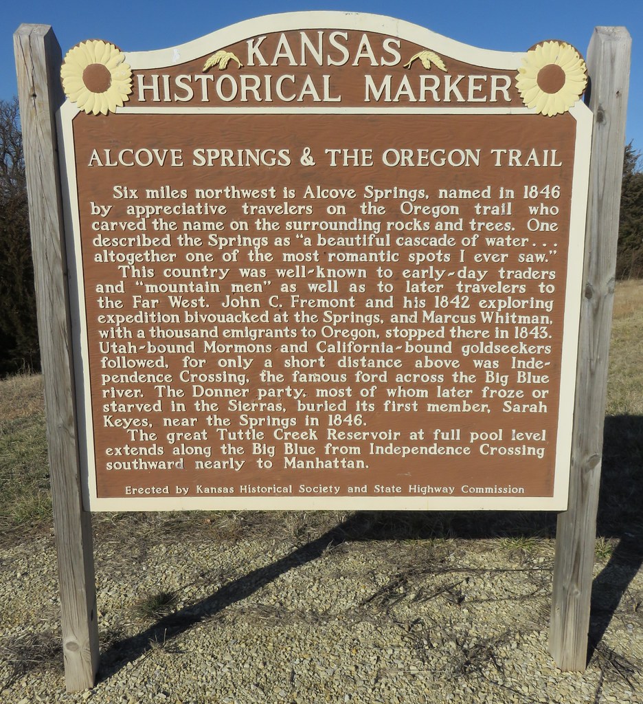
Alcove Springs and the Oregon Trail Marker (Blue Rapids, Kansas)

Beattie, The Milo Capital Welcome Sign (Beattie, Kansas)
District 35 School - Frankfort, KS

Downtown Building - Frankfort, KS
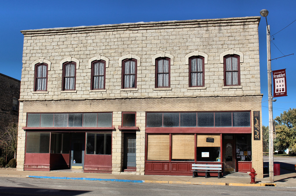
Downtown Building - Frankfort, KS
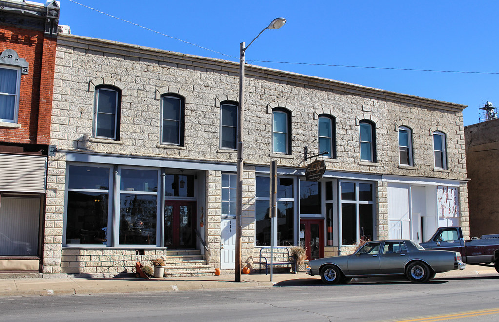
Downtown Building - Frankfort, KS
Downtown Building - Frankfort, KS
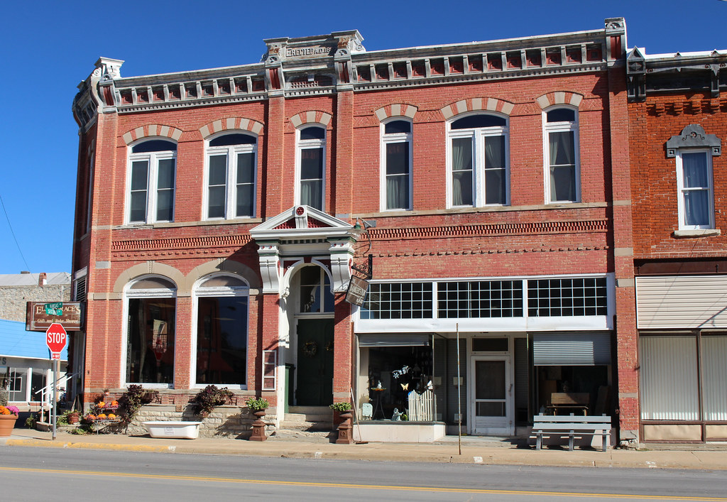
Bank Block - Frankfort, KS
Bank Block - Frankfort, KS
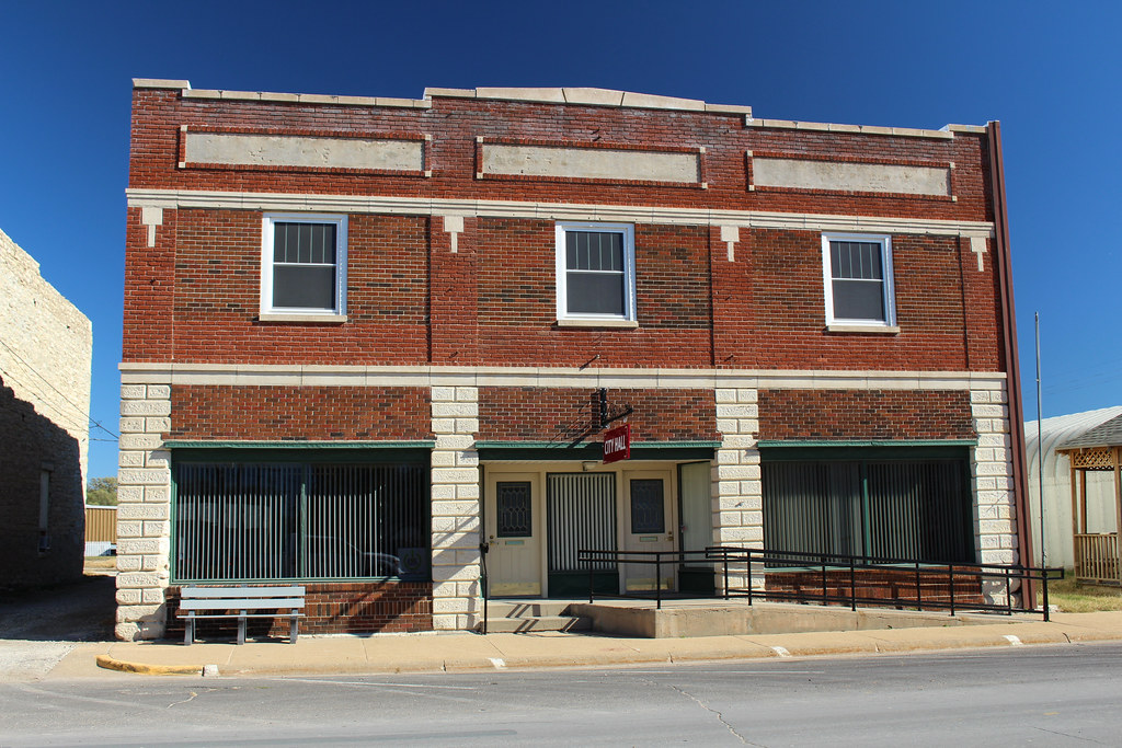
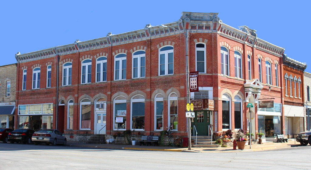
City Hall - Frankfort, KS
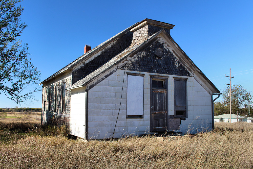
Schoolhouse - Vliets, KS
Topographic Map of Marshall County, KS, USA
Find elevation by address:

Places in Marshall County, KS, USA:
Places near Marshall County, KS, USA:
Valley Heights
Waterville
19090 Kansas Ave
Waterville
Center St, Oketo, KS, USA
Oketo
Shannon
Rock Creek
6th Rd, Marysville, KS, USA
Main St, Westmoreland, KS, USA
Oketo
Logan
14802 Rock Creek Rd
20795 Major Jenkins Rd
Westmoreland
N 3rd St, Westmoreland, KS, USA
Pottawatomie County
15600 Hartwich Rd
Mill Creek
Lincoln
Recent Searches:
- Elevation of Corso Fratelli Cairoli, 35, Macerata MC, Italy
- Elevation of Tallevast Rd, Sarasota, FL, USA
- Elevation of 4th St E, Sonoma, CA, USA
- Elevation of Black Hollow Rd, Pennsdale, PA, USA
- Elevation of Oakland Ave, Williamsport, PA, USA
- Elevation of Pedrógão Grande, Portugal
- Elevation of Klee Dr, Martinsburg, WV, USA
- Elevation of Via Roma, Pieranica CR, Italy
- Elevation of Tavkvetili Mountain, Georgia
- Elevation of Hartfords Bluff Cir, Mt Pleasant, SC, USA