Elevation of Westmoreland, KS, USA
Location: United States > Kansas > Pottawatomie County > Rock Creek >
Longitude: -96.413613
Latitude: 39.3938853
Elevation: 368m / 1207feet
Barometric Pressure: 97KPa
Elevation Map:
Satellite Map:
Related Photos:

Cattle grouping for storm

Washed out road
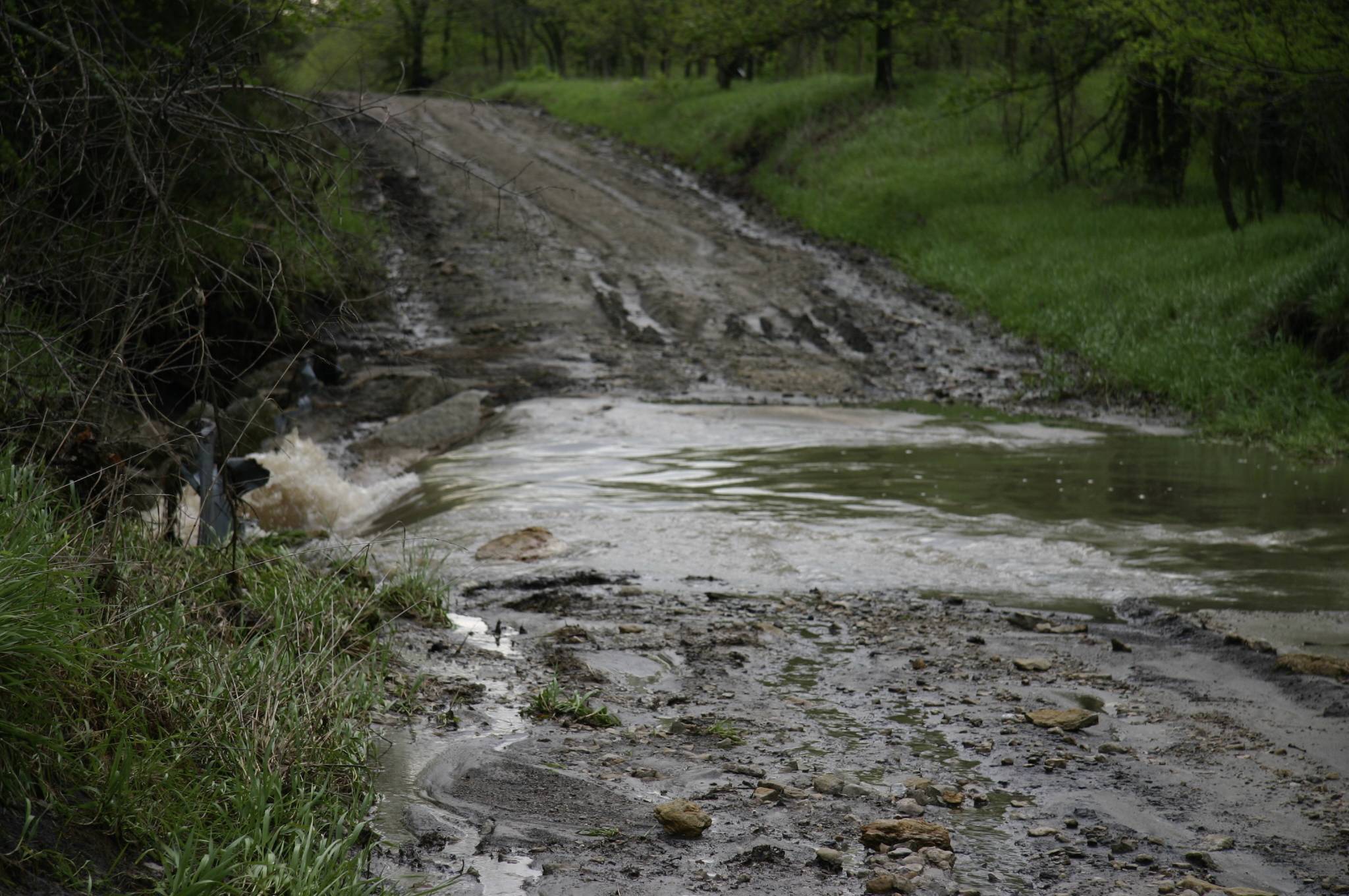
Washed out road

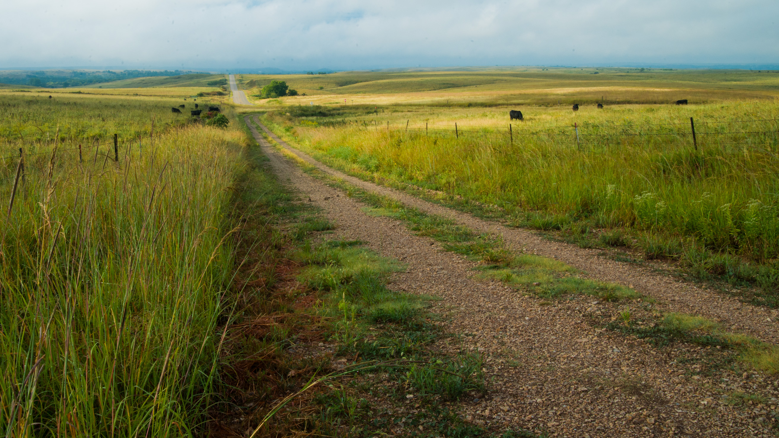
Coming onto Carnahan Road

Sunset near Holton August 3 2010

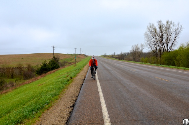
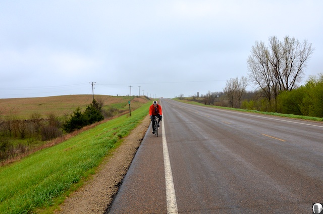
Sunday Drive

Sunset near Holton August 3 2010
Mud road after a spring shower
2013TallgrassRR 215
2013TallgrassRR 213
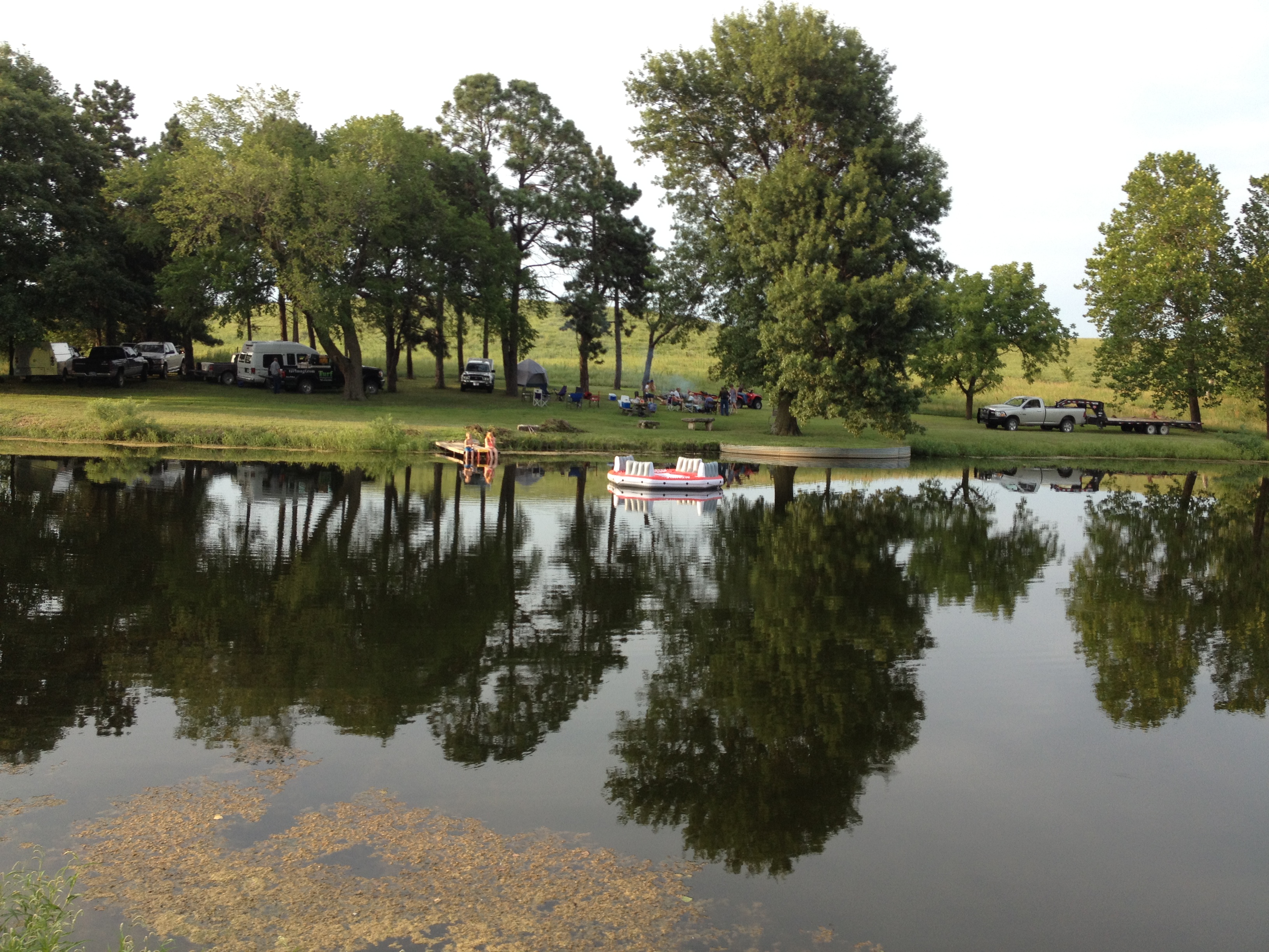
Avery Spring Pond
Topographic Map of Westmoreland, KS, USA
Find elevation by address:

Places in Westmoreland, KS, USA:
Places near Westmoreland, KS, USA:
N 3rd St, Westmoreland, KS, USA
14802 Rock Creek Rd
Rock Creek
15600 Hartwich Rd
Pottawatomie County
19090 Kansas Ave
Main St, Westmoreland, KS, USA
Shannon
20795 Major Jenkins Rd
Onaga
Leonard St, Onaga, KS, USA
Mill Creek
17857 Day Rd
Marshall County
Grant
Randolph
E Randolph St, Randolph, KS, USA
Havensville
Pottawatomie St, Soldier, KS, USA
Jackson
Recent Searches:
- Elevation of Lagasgasan, X+CQH, Tiaong, Quezon, Philippines
- Elevation of Rojo Ct, Atascadero, CA, USA
- Elevation of Flagstaff Drive, Flagstaff Dr, North Carolina, USA
- Elevation of Avery Ln, Lakeland, FL, USA
- Elevation of Woolwine, VA, USA
- Elevation of Lumagwas Diversified Farmers Multi-Purpose Cooperative, Lumagwas, Adtuyon, RV32+MH7, Pangantucan, Bukidnon, Philippines
- Elevation of Homestead Ridge, New Braunfels, TX, USA
- Elevation of Orchard Road, Orchard Rd, Marlborough, NY, USA
- Elevation of 12 Hutchinson Woods Dr, Fletcher, NC, USA
- Elevation of Holloway Ave, San Francisco, CA, USA