Elevation of Waterville, KS, USA
Location: United States > Kansas > Marshall County >
Longitude: -96.727991
Latitude: 39.6837941
Elevation: 366m / 1201feet
Barometric Pressure: 97KPa
Elevation Map:
Satellite Map:
Related Photos:
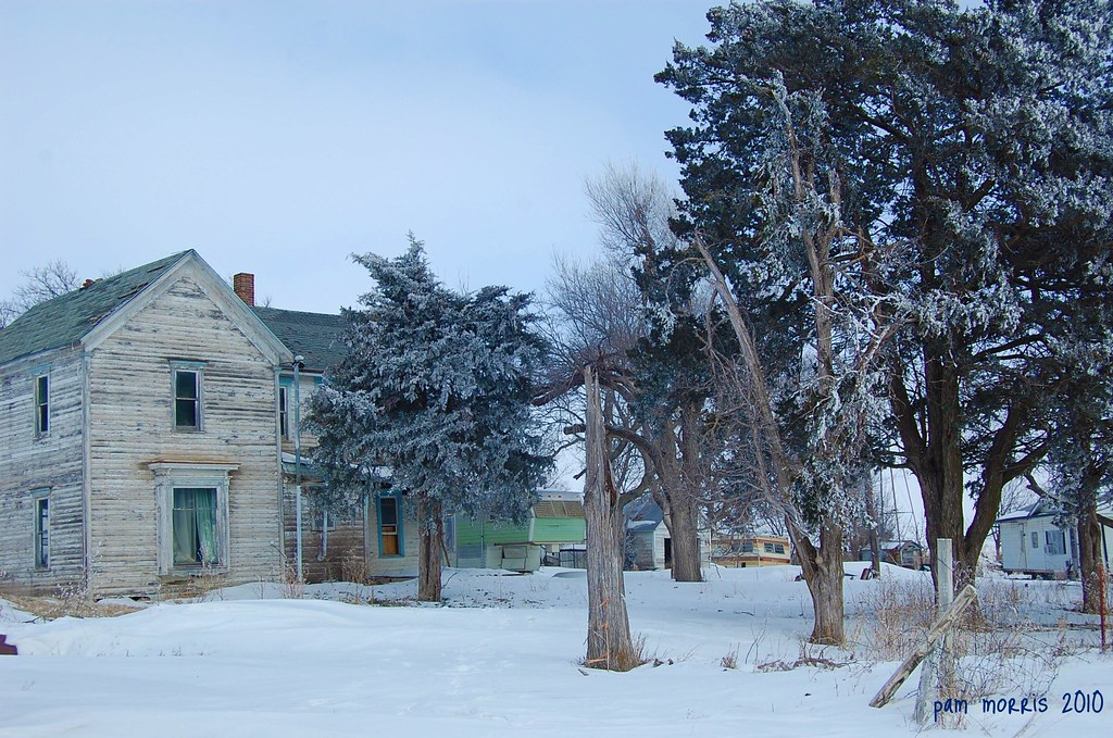
Alone In The Snow
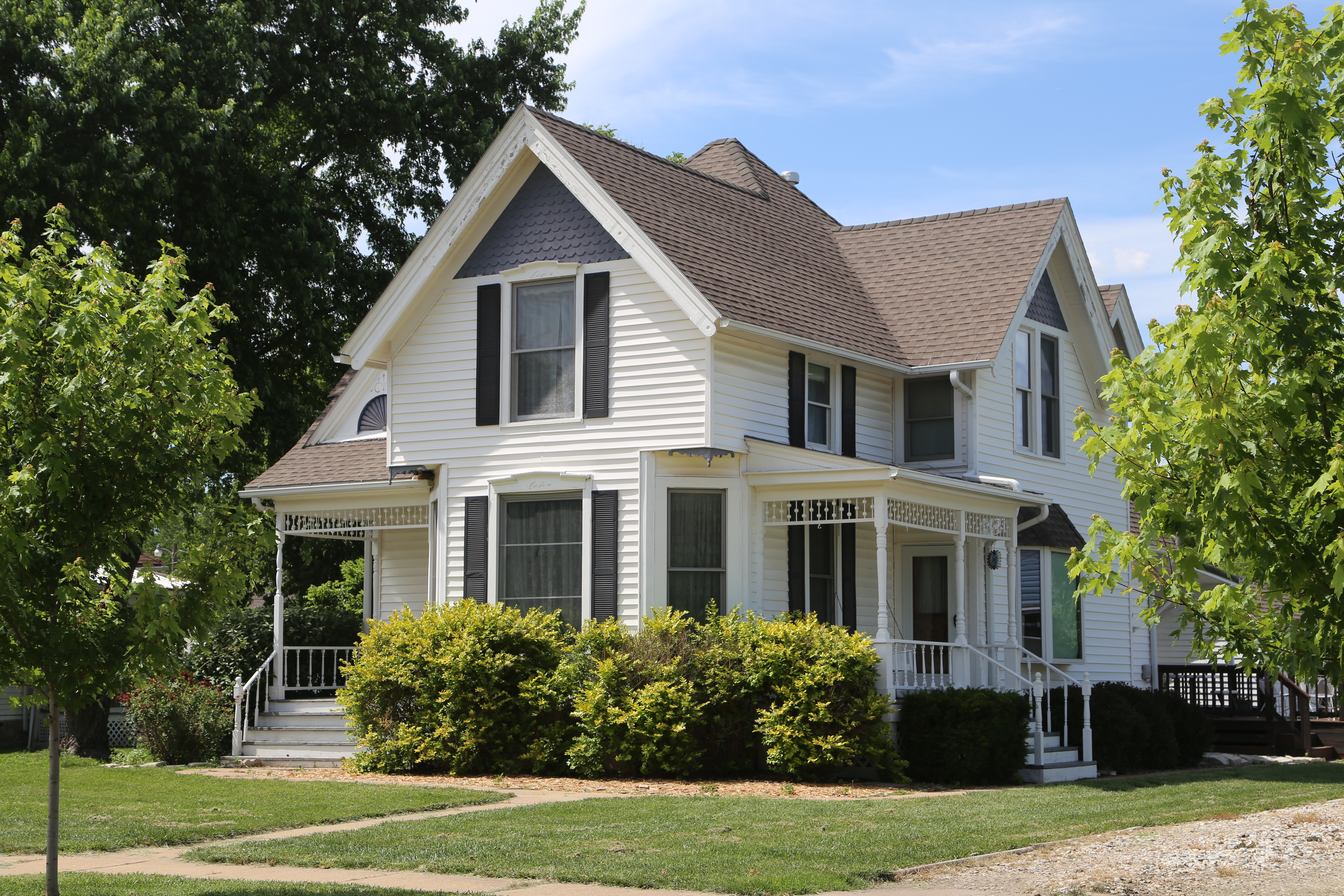
House with Bay Window, Side View

River View
heavytraffic12-6

County Road

Lower Idlewild Falls
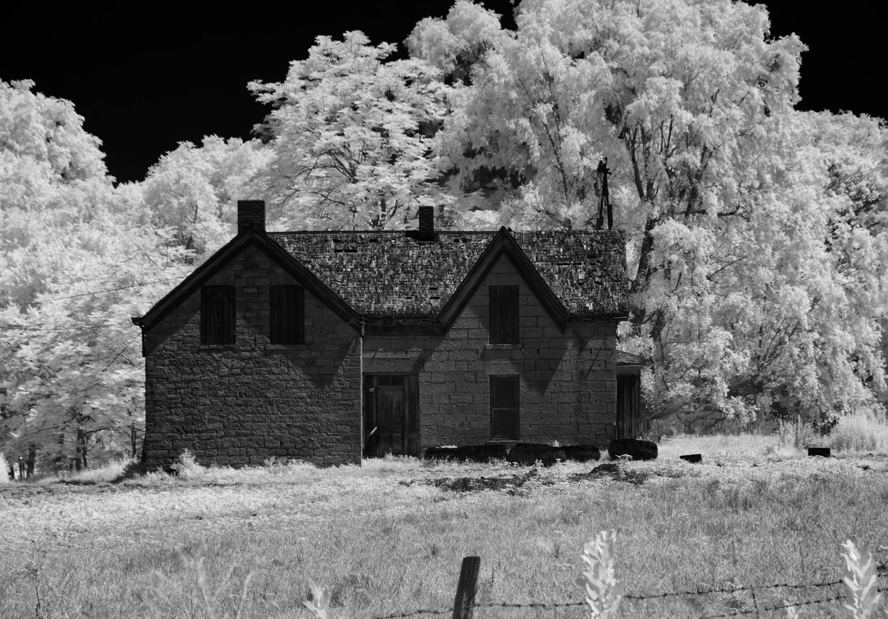
abandoned beauty
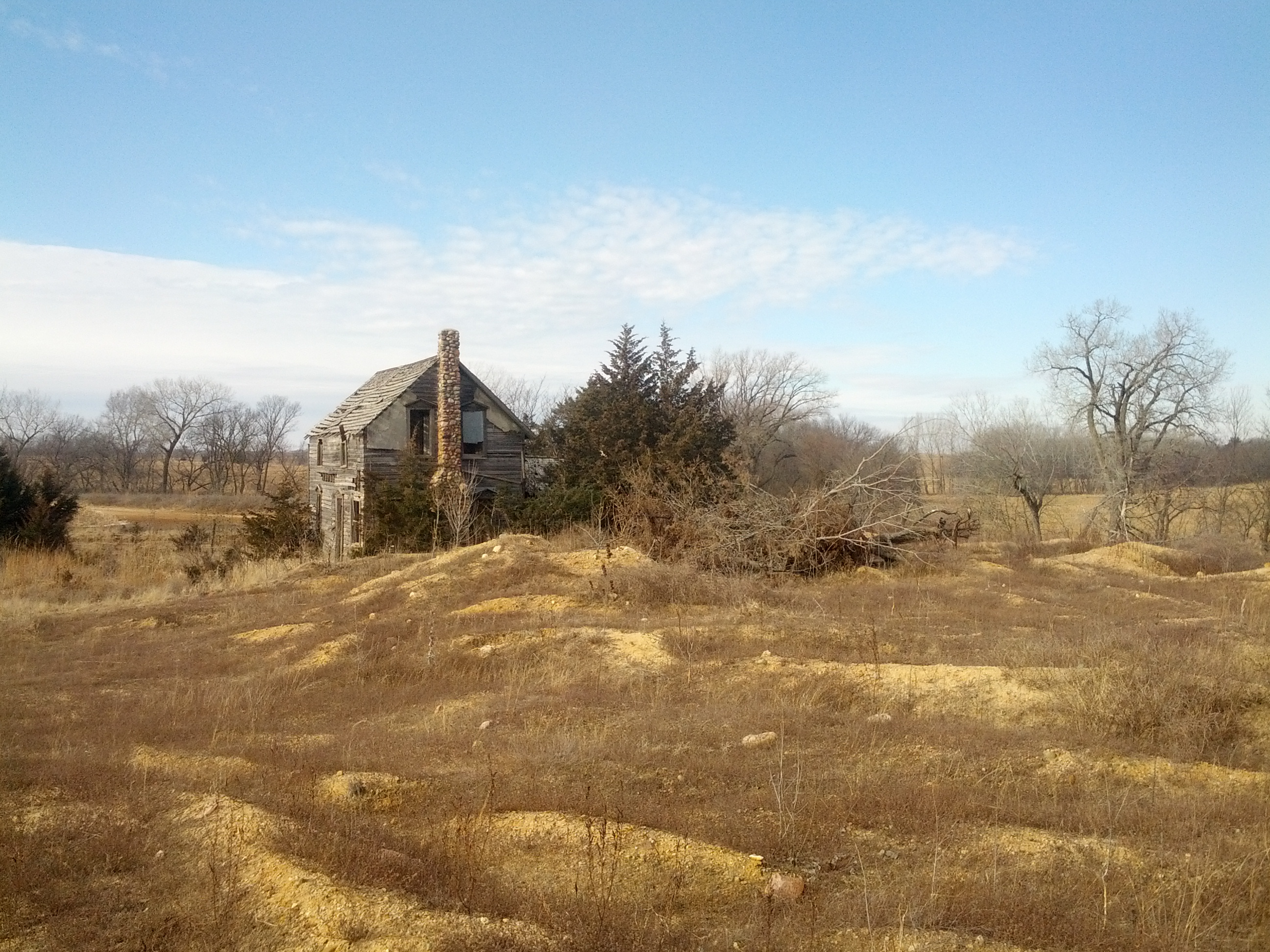
abandoned beauty No Filter
Waterville Kansas, Marshall County KS
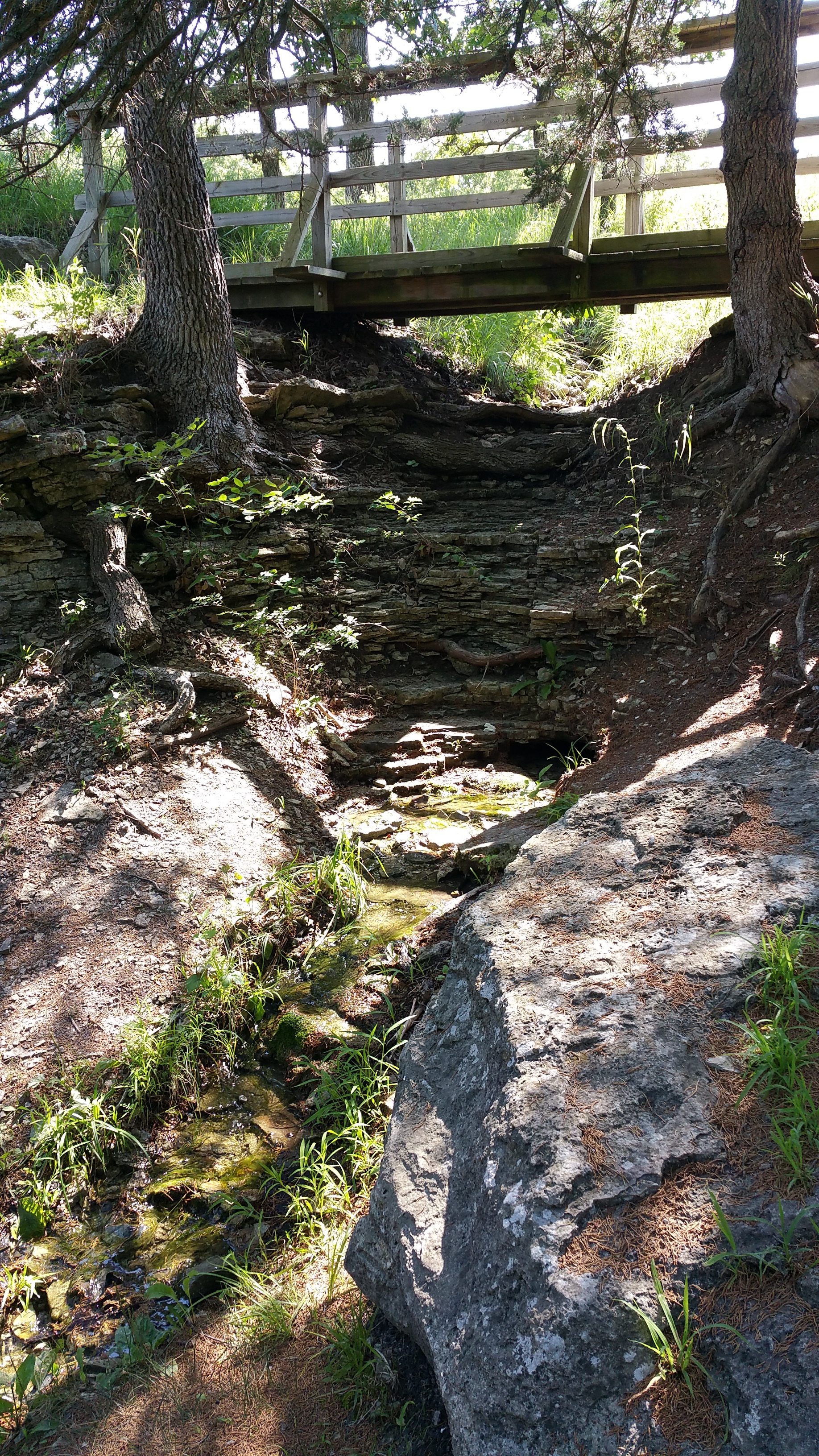
KS-27. Alcove Spring
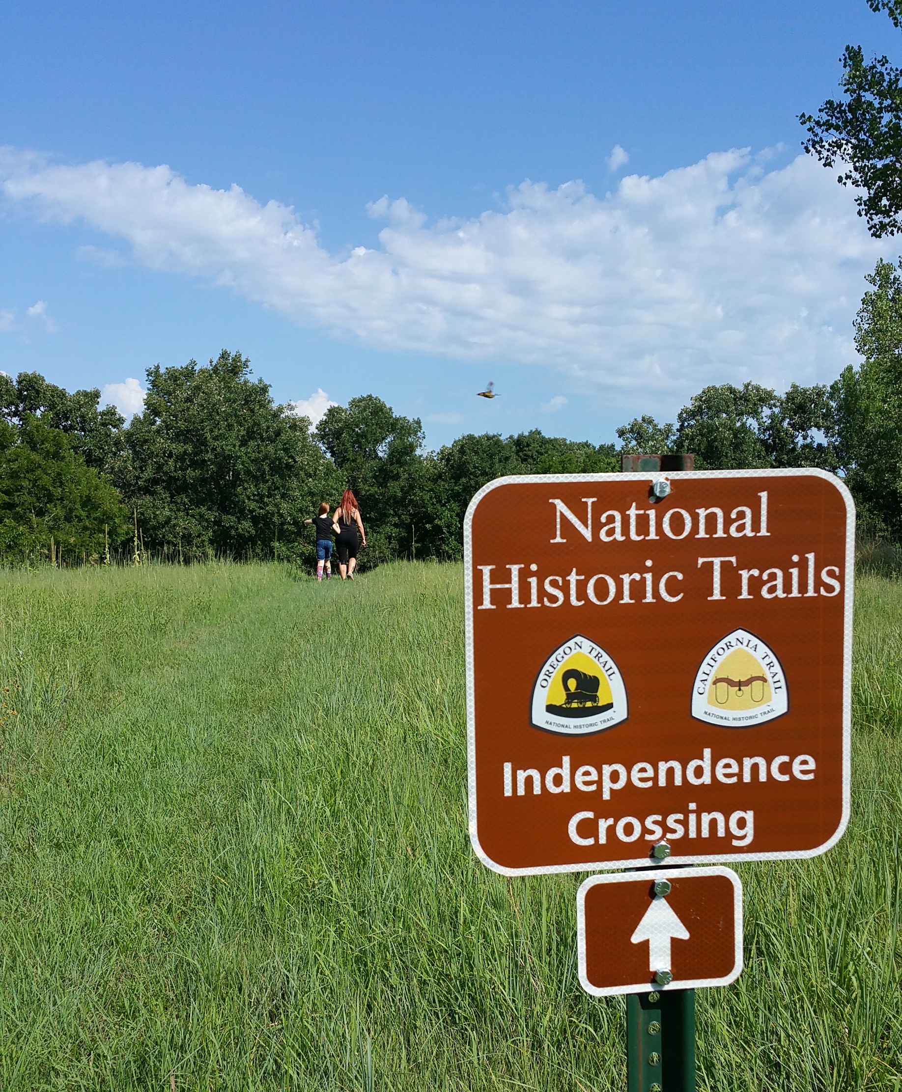
Independence Crossing

Wheat field near Barnes, 25 June 2015
Topographic Map of Waterville, KS, USA
Find elevation by address:

Places in Waterville, KS, USA:
Places near Waterville, KS, USA:
Waterville
Valley Heights
Lincoln
396 Yankee Rd
6th Rd, Marysville, KS, USA
Logan
Marshall County
Jackson
Randolph
E Randolph St, Randolph, KS, USA
Hanover Insurance Co
Walsburg Rd, Leonardville, KS, USA
Oketo
Oketo
Center St, Oketo, KS, USA
Shannon
Main St, Westmoreland, KS, USA
Highland
Green
Rock Creek
Recent Searches:
- Elevation of Kreuzburger Weg 13, Düsseldorf, Germany
- Elevation of Gateway Blvd SE, Canton, OH, USA
- Elevation of East W.T. Harris Boulevard, E W.T. Harris Blvd, Charlotte, NC, USA
- Elevation of West Sugar Creek, Charlotte, NC, USA
- Elevation of Wayland, NY, USA
- Elevation of Steadfast Ct, Daphne, AL, USA
- Elevation of Lagasgasan, X+CQH, Tiaong, Quezon, Philippines
- Elevation of Rojo Ct, Atascadero, CA, USA
- Elevation of Flagstaff Drive, Flagstaff Dr, North Carolina, USA
- Elevation of Avery Ln, Lakeland, FL, USA