Elevation of Indian Wells, AZ, USA
Location: United States > Arizona > Navajo County >
Longitude: -110.09527
Latitude: 35.3923284
Elevation: 1784m / 5853feet
Barometric Pressure: 82KPa
Elevation Map:
Satellite Map:
Related Photos:
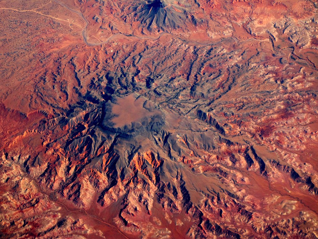
Navajo Arizona

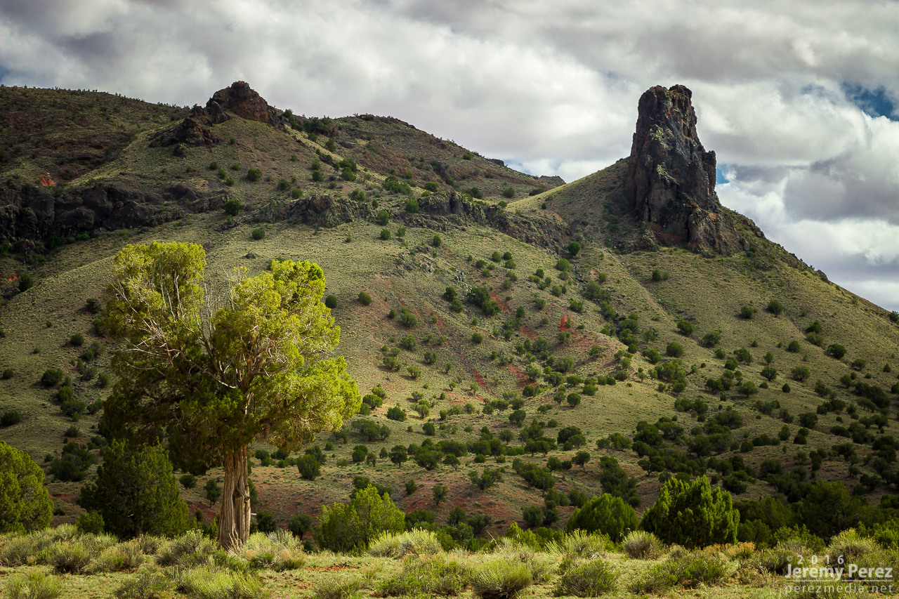
Twin Peaks
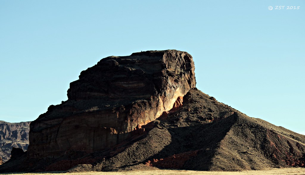
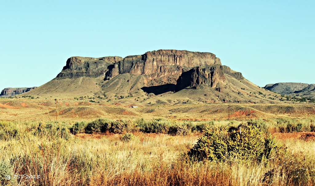
Butte at Indian Wells

Twin Peaks

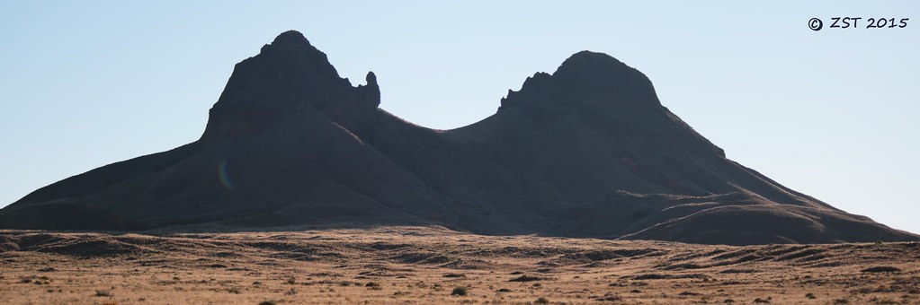
Gorilla Head Butte

Gorilla Head Butte

Twin Peaks
Ape Mountain
Twin Cones
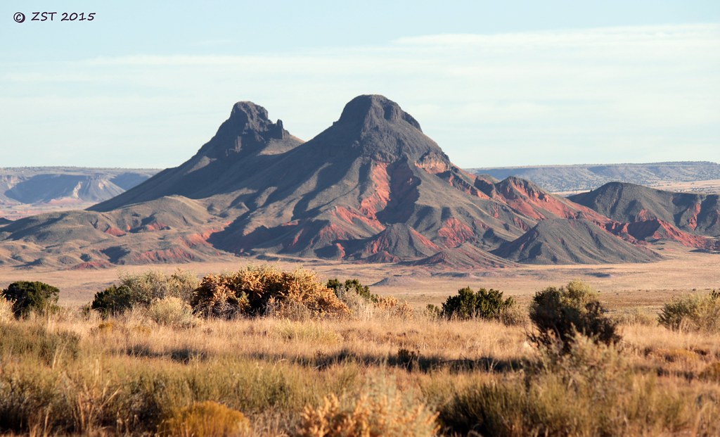
Twin Cones
Mesaby Dog Spring, Indian Wells, AZ
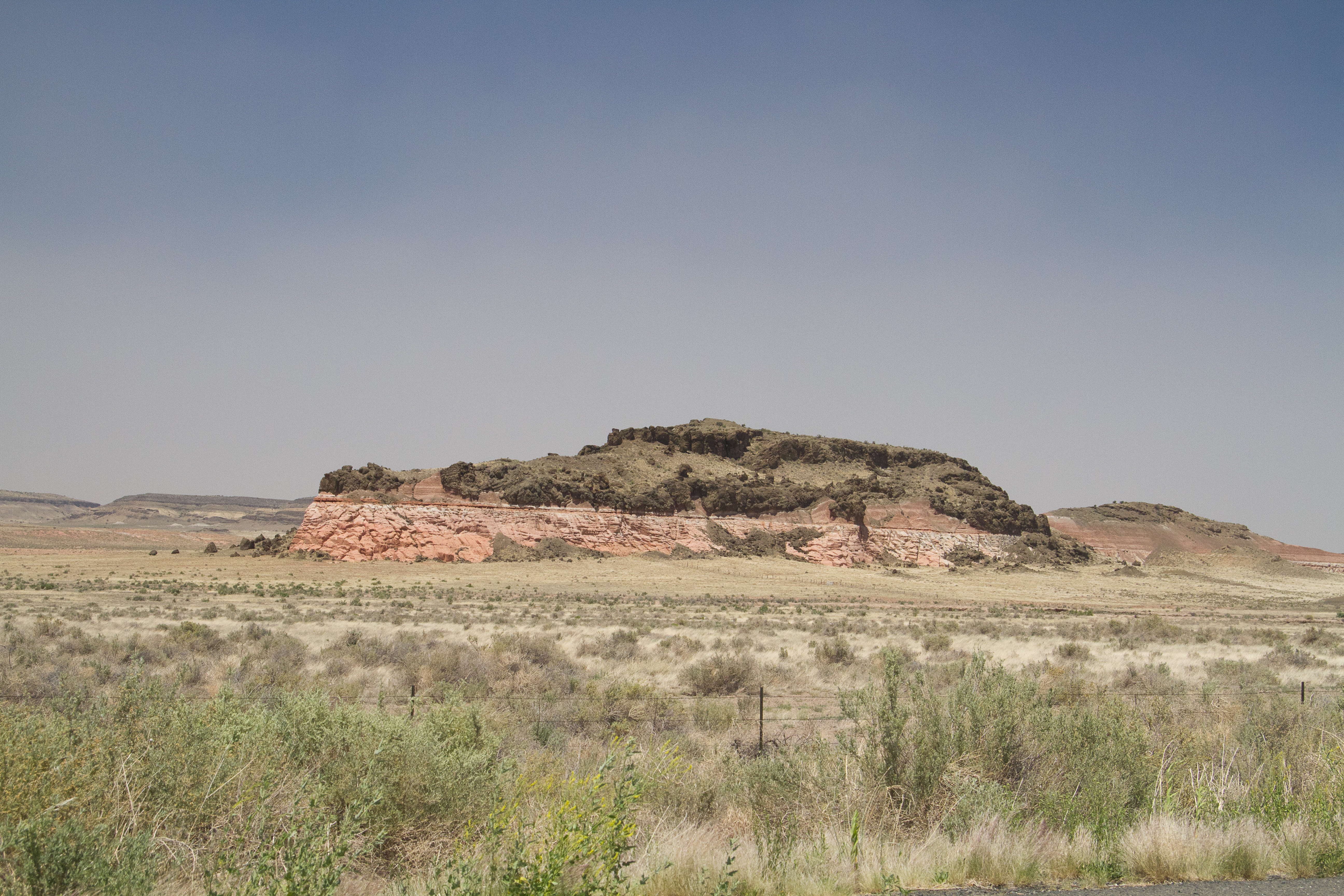
20110626103.jpg
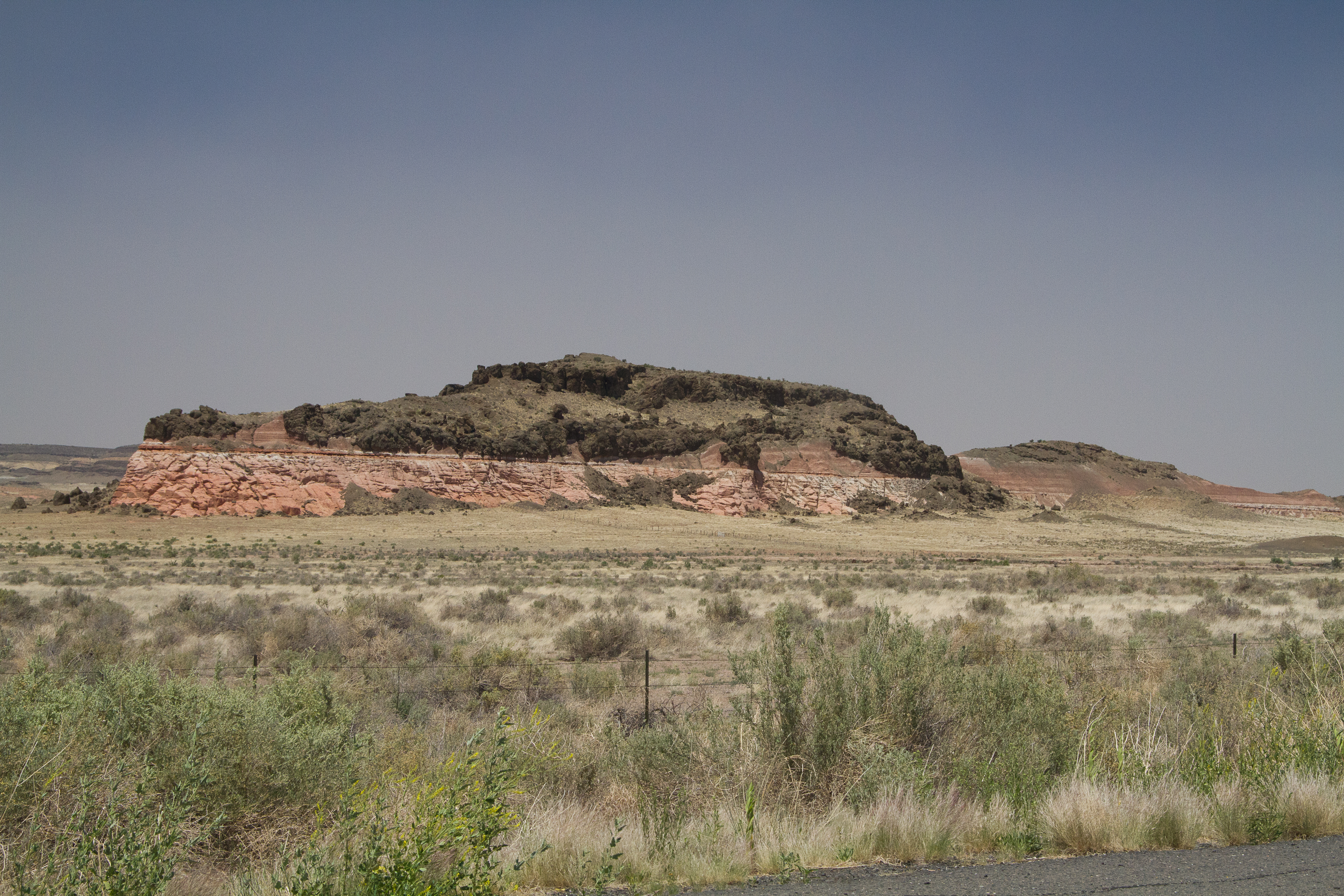
20110626104.jpg
Painted Desert #adventureisoutthere #exploreeverything #hiking #hikingadventures #adventure #adventureawaits #todsl #hiking #desert #arizona #arizonahiking #explorearizona #arizonaroadtrip #nofilterneeded #painteddesert #blue

Smoke in the Hollow
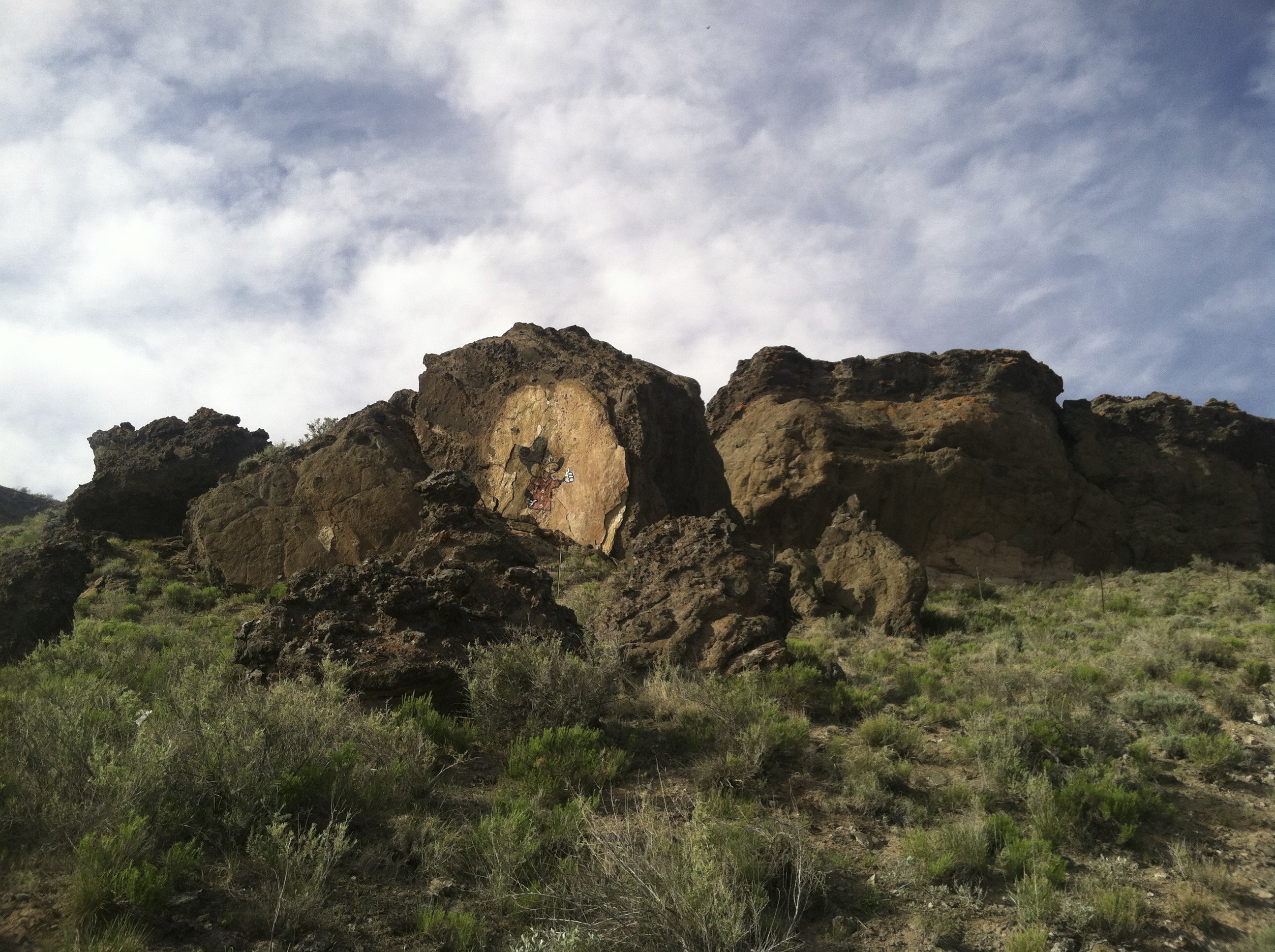
Mickey Mouse Canyon
Topographic Map of Indian Wells, AZ, USA
Find elevation by address:

Places near Indian Wells, AZ, USA:
Navajo County
Na Ah Tee
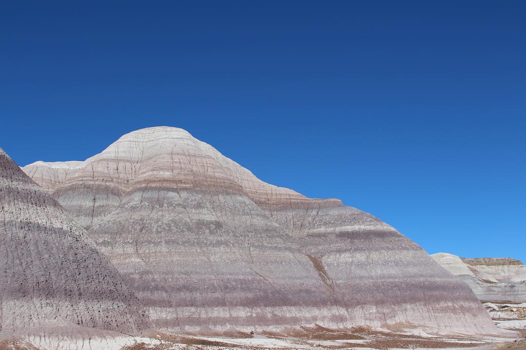
Painted Desert
Holbrook Unified School District
Arizona 264
Cornfield's Road
Hopi Health Care Center
First Mesa
Polacca
Polacca Post Office
Mishongnovi
Mishongnovi Community Center
Sunlight Community Church
Second Mesa
United States Postal Service
Main St, Kykotsmovi, AZ, USA
Kykotsmovi
Kykotsmovi Village
Leupp
Rough Rock
Recent Searches:
- Elevation of Corso Fratelli Cairoli, 35, Macerata MC, Italy
- Elevation of Tallevast Rd, Sarasota, FL, USA
- Elevation of 4th St E, Sonoma, CA, USA
- Elevation of Black Hollow Rd, Pennsdale, PA, USA
- Elevation of Oakland Ave, Williamsport, PA, USA
- Elevation of Pedrógão Grande, Portugal
- Elevation of Klee Dr, Martinsburg, WV, USA
- Elevation of Via Roma, Pieranica CR, Italy
- Elevation of Tavkvetili Mountain, Georgia
- Elevation of Hartfords Bluff Cir, Mt Pleasant, SC, USA