Elevation of Polacca Post Office, Polacca, AZ, USA
Location: United States > Arizona > Navajo County > First Mesa >
Longitude: -110.38965
Latitude: 35.8326072
Elevation: 1773m / 5817feet
Barometric Pressure: 82KPa
Elevation Map:
Satellite Map:
Related Photos:

Flowered Mesa

House with a View

Navajo Nation | Arizona | Turquoise Hogan with Matching House and Tire Fence

The Morning Glory
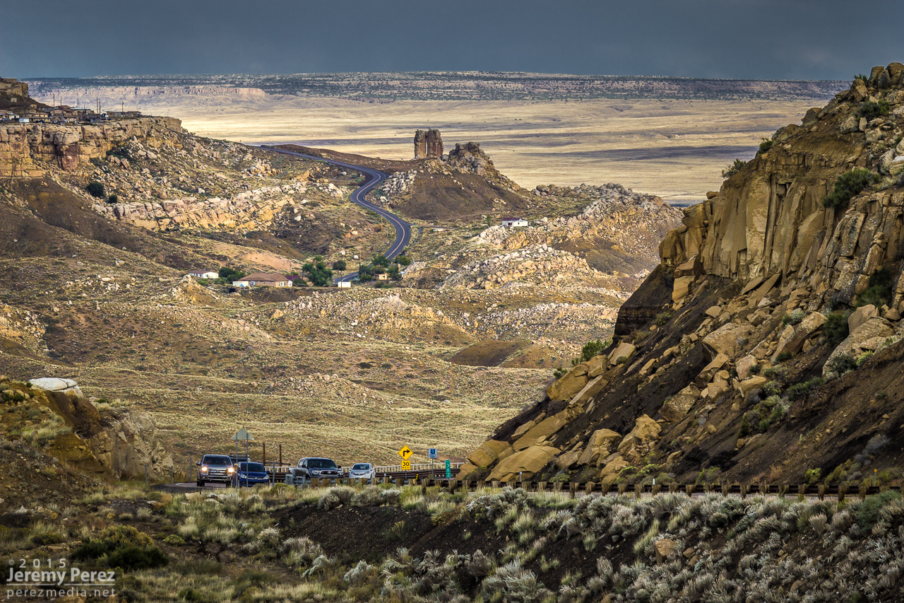
Road to Mishongnovi
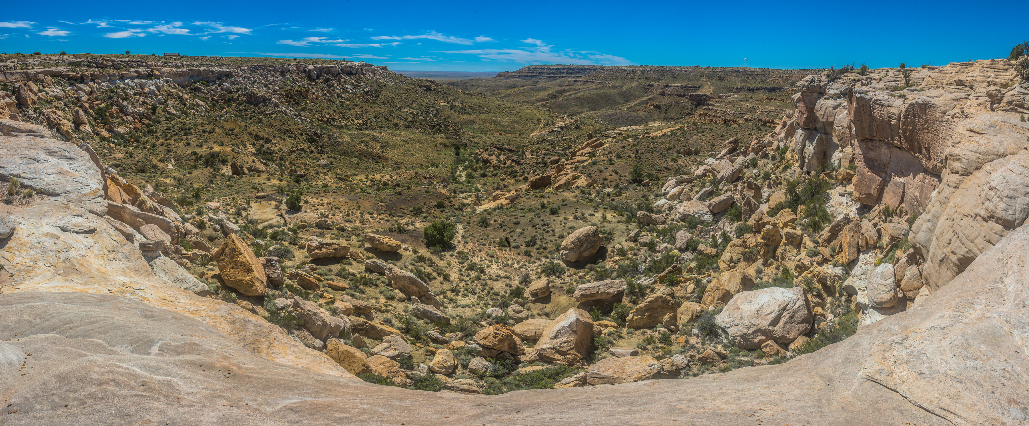
DSC_4848-Pano
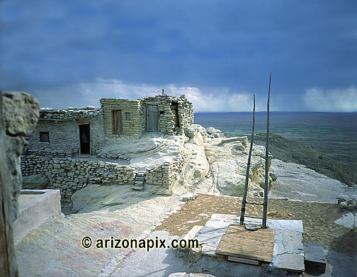
Village Made Of Rock
DSC_4858-Pano
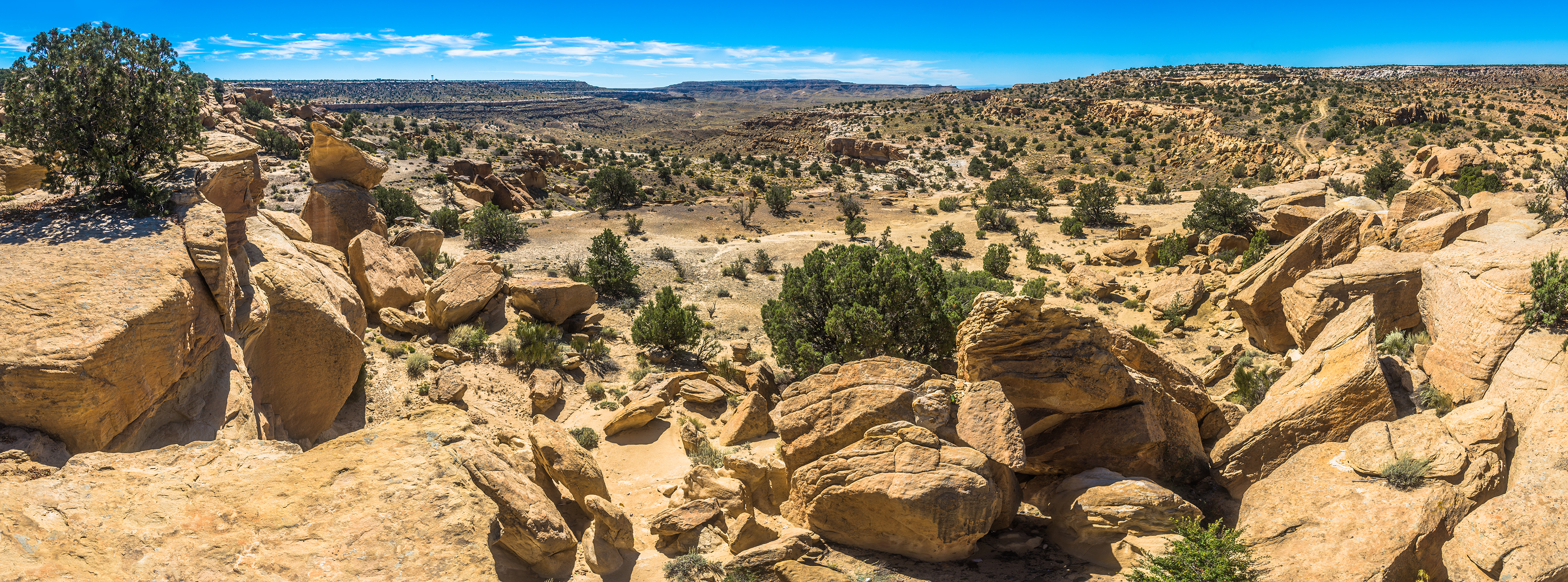
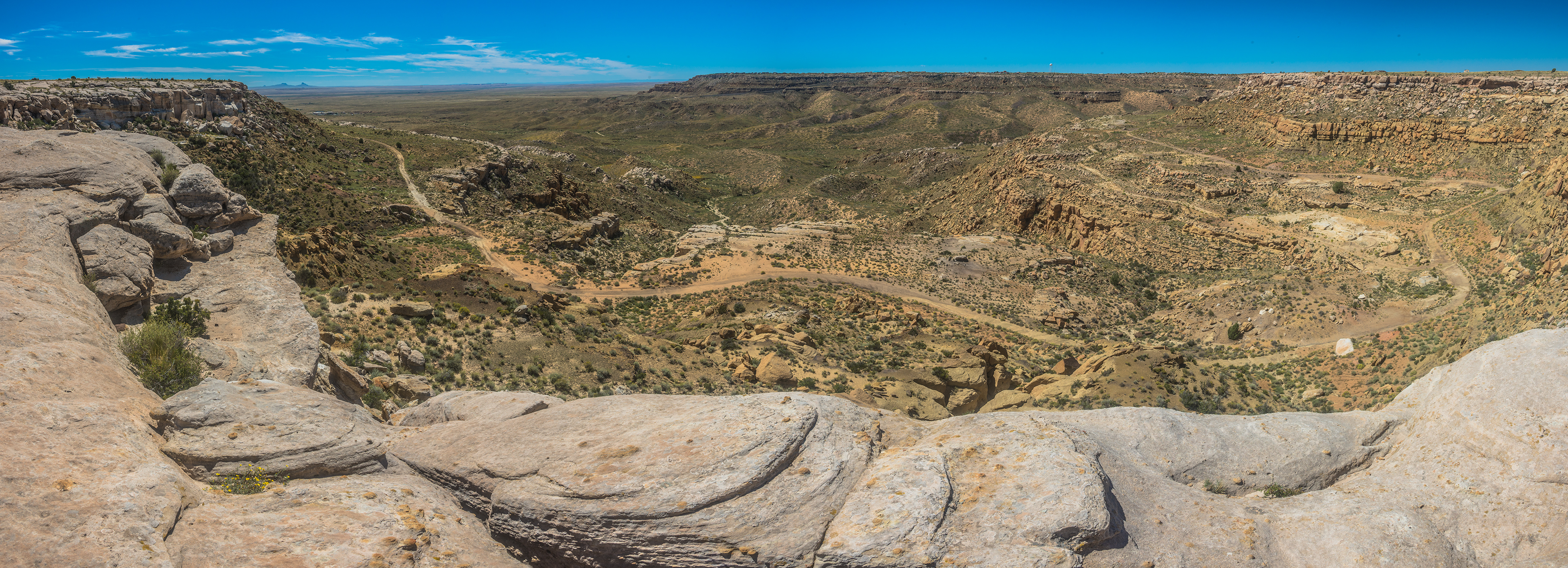
DSC_4815-Pano

DSC_4817-Pano
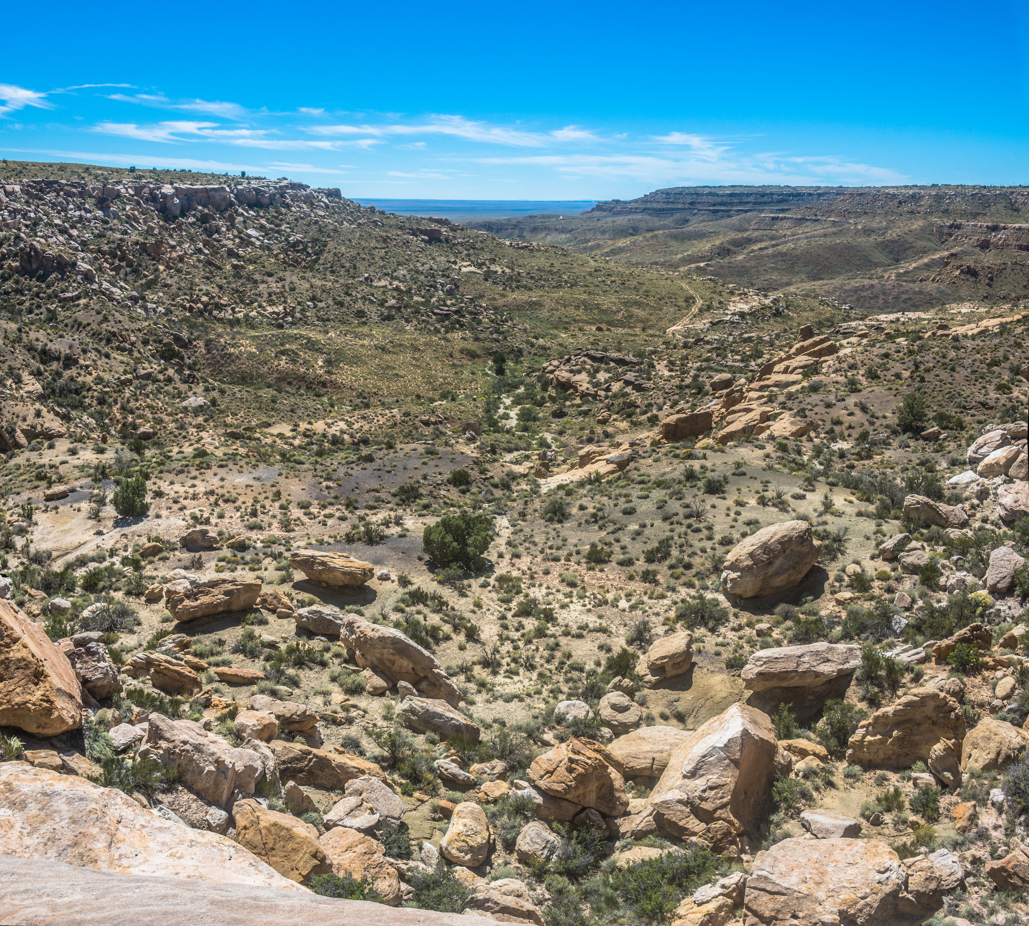
DSC_4839-Pano

Big rock.

Flight to chicago
Topographic Map of Polacca Post Office, Polacca, AZ, USA
Find elevation by address:

Places near Polacca Post Office, Polacca, AZ, USA:
First Mesa
Polacca
Hopi Health Care Center
Mishongnovi
Mishongnovi Community Center
Sunlight Community Church
Second Mesa
United States Postal Service
Arizona 264
Kykotsmovi
Main St, Kykotsmovi, AZ, USA
Kykotsmovi Village
Na Ah Tee
Painted Desert
Navajo County
Indian Wells
Coal Mine Canyon
Elephants Feet Rest Area
Cornfield's Road
Holbrook Unified School District
Recent Searches:
- Elevation of Luther Road, Luther Rd, Auburn, CA, USA
- Elevation of Unnamed Road, Respublika Severnaya Osetiya — Alaniya, Russia
- Elevation of Verkhny Fiagdon, North Ossetia–Alania Republic, Russia
- Elevation of F. Viola Hiway, San Rafael, Bulacan, Philippines
- Elevation of Herbage Dr, Gulfport, MS, USA
- Elevation of Lilac Cir, Haldimand, ON N3W 2G9, Canada
- Elevation of Harrod Branch Road, Harrod Branch Rd, Kentucky, USA
- Elevation of Wyndham Grand Barbados Sam Lords Castle All Inclusive Resort, End of Belair Road, Long Bay, Bridgetown Barbados
- Elevation of Iga Trl, Maggie Valley, NC, USA
- Elevation of N Co Rd 31D, Loveland, CO, USA