Elevation map of Holbrook Unified School District, AZ, USA
Longitude: -110.04496
Latitude: 35.1655129
Elevation: 1645m / 5397feet
Barometric Pressure: 83KPa
Elevation Map:
Satellite Map:
Related Photos:

Navajo Reservation
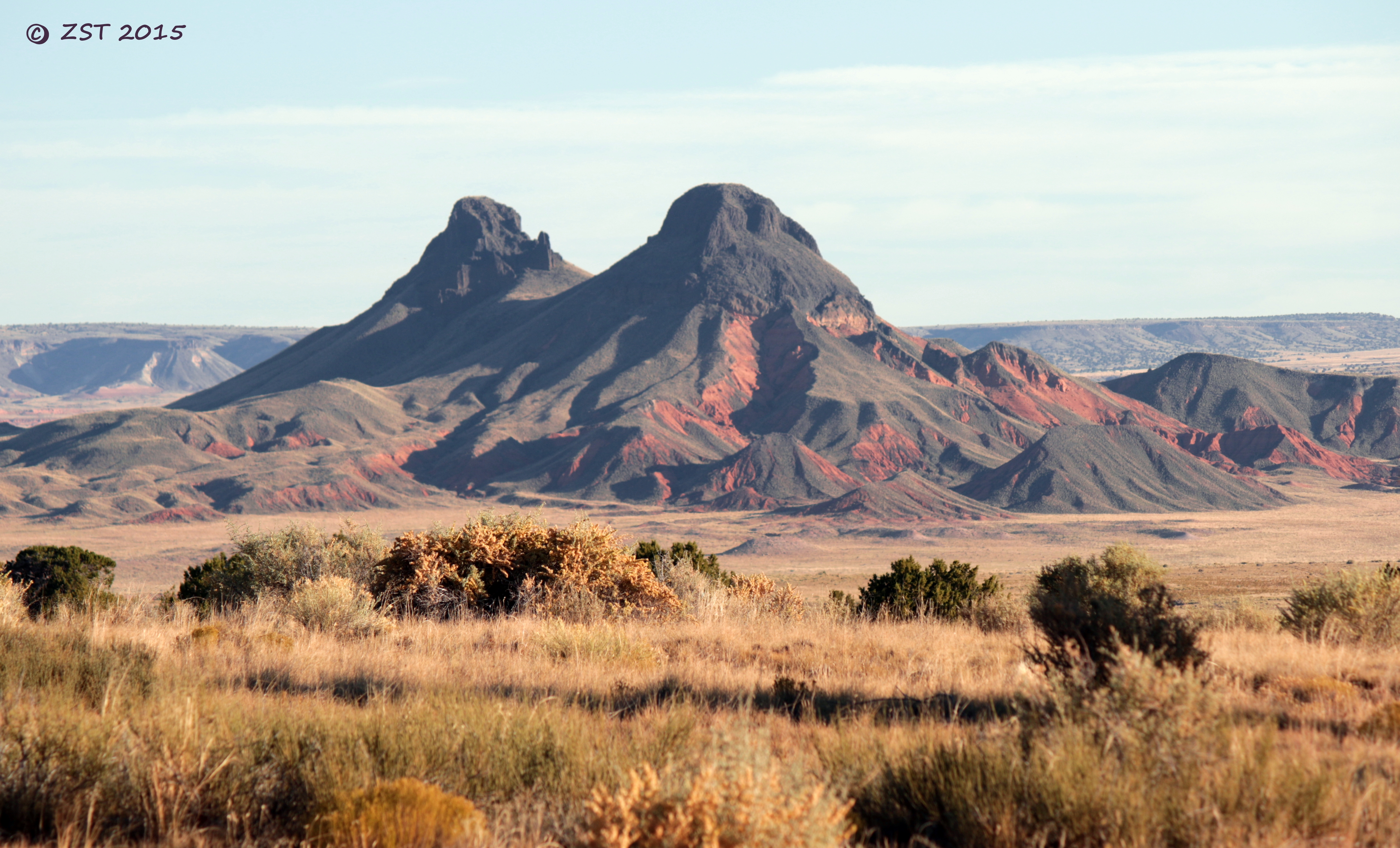
Twin Cones

Camping near Gallup 2

Camping near Grants

20010424-001

on the navajo trail
Topographic Map of Holbrook Unified School District, AZ, USA
Find elevation by address:

Places near Holbrook Unified School District, AZ, USA:
Indian Wells
Navajo County
Painted Desert
Na Ah Tee
Cornfield's Road
Arizona 264
Hopi Health Care Center
First Mesa
Polacca
Polacca Post Office
Mishongnovi Community Center
Sunlight Community Church
Second Mesa
Mishongnovi
United States Postal Service
Main St, Kykotsmovi, AZ, USA
Kykotsmovi
Kykotsmovi Village
Leupp
Rough Rock
Recent Searches:
- Elevation of Shibuya Scramble Crossing, 21 Udagawacho, Shibuya City, Tokyo -, Japan
- Elevation of Jadagoniai, Kaunas District Municipality, Lithuania
- Elevation of Pagonija rock, Kranto 7-oji g. 8"N, Kaunas, Lithuania
- Elevation of Co Rd 87, Jamestown, CO, USA
- Elevation of Tenjo, Cundinamarca, Colombia
- Elevation of Côte-des-Neiges, Montreal, QC H4A 3J6, Canada
- Elevation of Bobcat Dr, Helena, MT, USA
- Elevation of Zu den Ihlowbergen, Althüttendorf, Germany
- Elevation of Badaber, Peshawar, Khyber Pakhtunkhwa, Pakistan
- Elevation of SE Heron Loop, Lincoln City, OR, USA