Elevation of First Mesa, AZ, USA
Location: United States > Arizona > Navajo County >
Longitude: -110.38151
Latitude: 35.8366716
Elevation: -10000m / -32808feet
Barometric Pressure: 295KPa
Elevation Map:
Satellite Map:
Related Photos:

Flowered Mesa

House with a View

Navajo Nation | Arizona | Turquoise Hogan with Matching House and Tire Fence

The Morning Glory
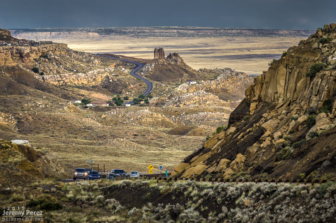
Road to Mishongnovi
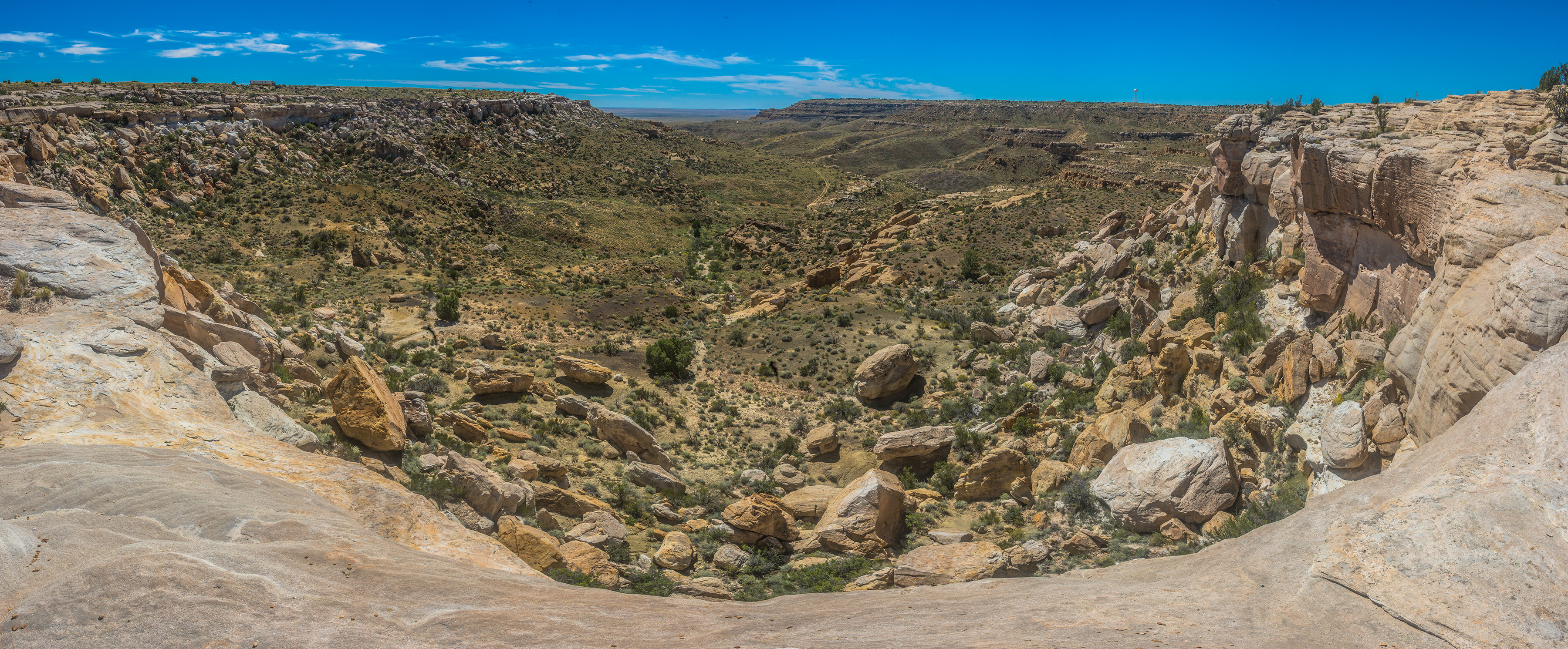
DSC_4848-Pano
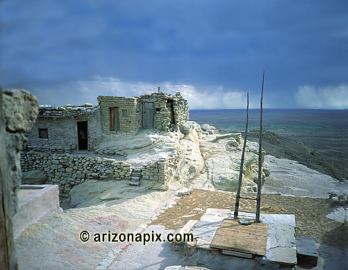
Village Made Of Rock
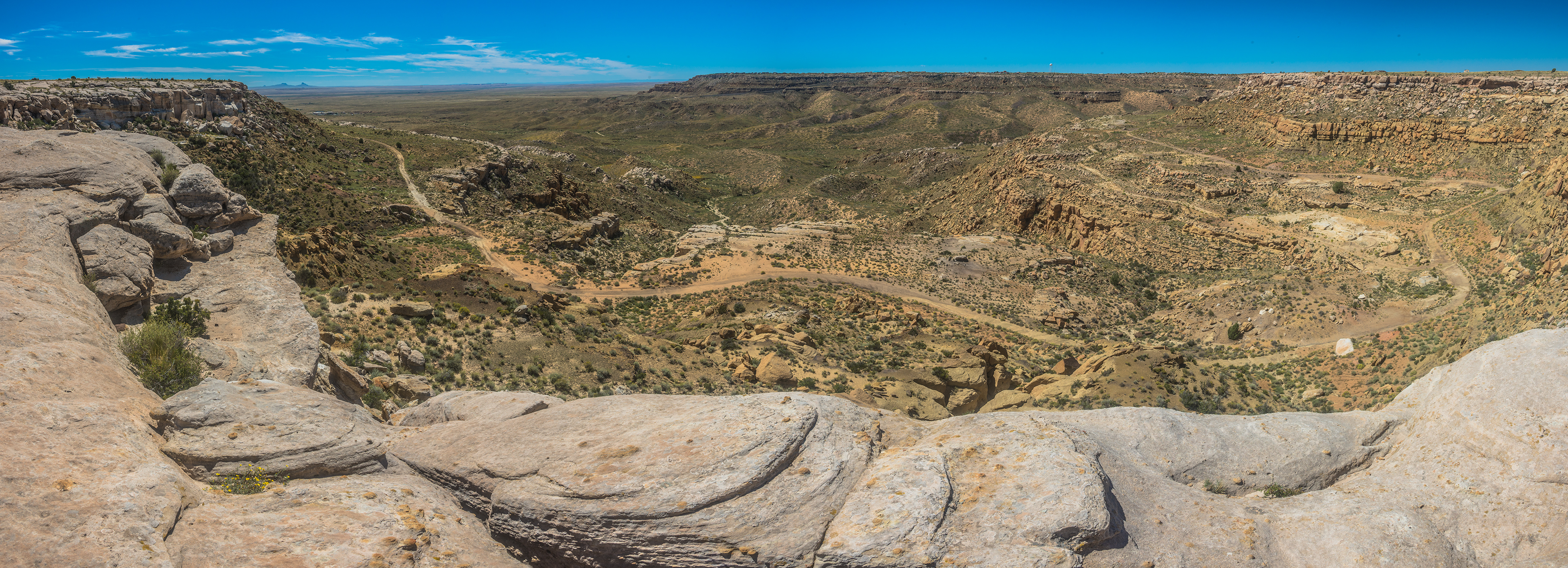
DSC_4858-Pano
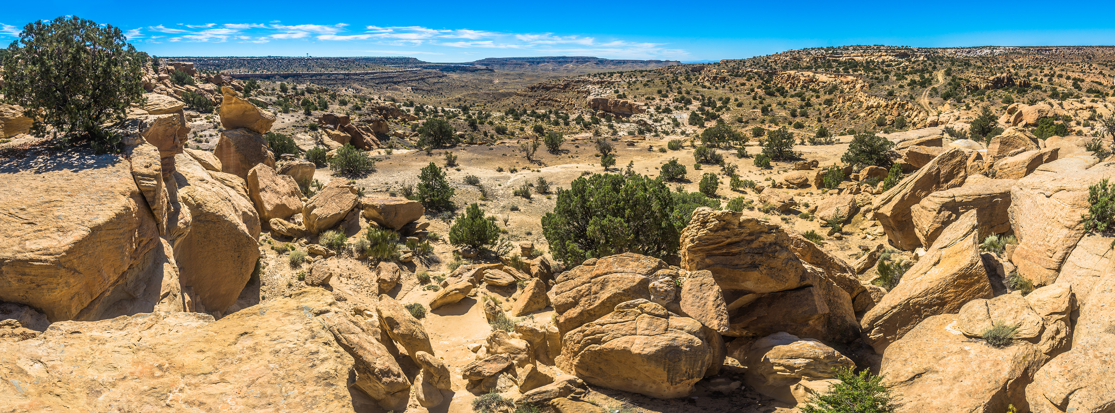
DSC_4815-Pano

DSC_4817-Pano
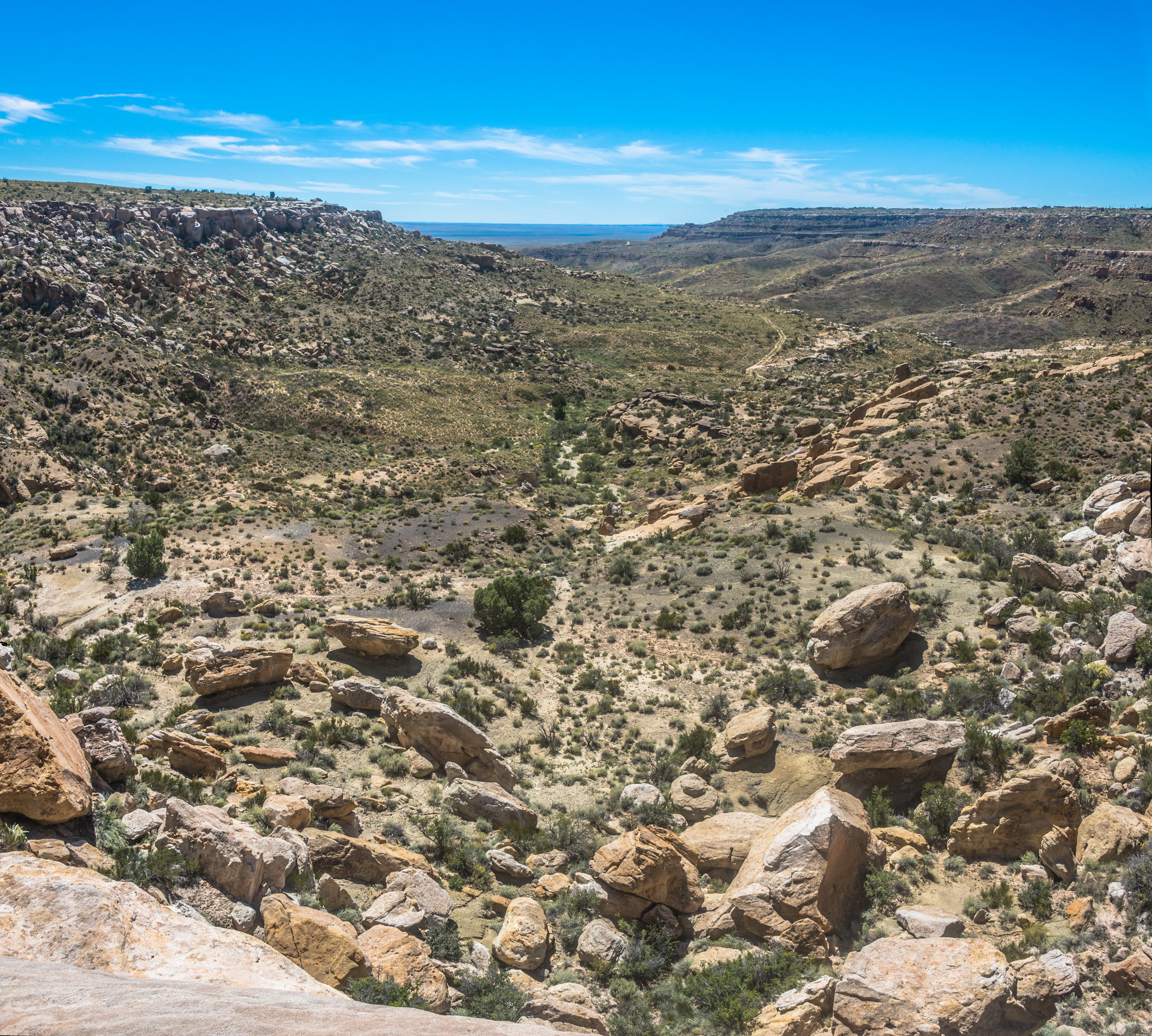
DSC_4839-Pano

Big rock.

Flight to chicago
Topographic Map of First Mesa, AZ, USA
Find elevation by address:

Places in First Mesa, AZ, USA:
Places near First Mesa, AZ, USA:
Polacca
Polacca Post Office
Hopi Health Care Center
Mishongnovi
Mishongnovi Community Center
Sunlight Community Church
Second Mesa
United States Postal Service
Arizona 264
Kykotsmovi
Main St, Kykotsmovi, AZ, USA
Kykotsmovi Village
Na Ah Tee
Painted Desert
Navajo County
Indian Wells
Coal Mine Canyon
Cornfield's Road
Elephants Feet Rest Area
Holbrook Unified School District
Recent Searches:
- Elevation of Spaceport America, Co Rd A, Truth or Consequences, NM, USA
- Elevation of Warwick, RI, USA
- Elevation of Fern Rd, Whitmore, CA, USA
- Elevation of 62 Abbey St, Marshfield, MA, USA
- Elevation of Fernwood, Bradenton, FL, USA
- Elevation of Felindre, Swansea SA5 7LU, UK
- Elevation of Leyte Industrial Development Estate, Isabel, Leyte, Philippines
- Elevation of W Granada St, Tampa, FL, USA
- Elevation of Pykes Down, Ivybridge PL21 0BY, UK
- Elevation of Jalan Senandin, Lutong, Miri, Sarawak, Malaysia