Elevation of Second Mesa, AZ, USA
Location: United States > Arizona > Navajo County >
Longitude: -110.50513
Latitude: 35.7933387
Elevation: -10000m / -32808feet
Barometric Pressure: 295KPa
Elevation Map:
Satellite Map:
Related Photos:

Flowered Mesa

House with a View

The Morning Glory
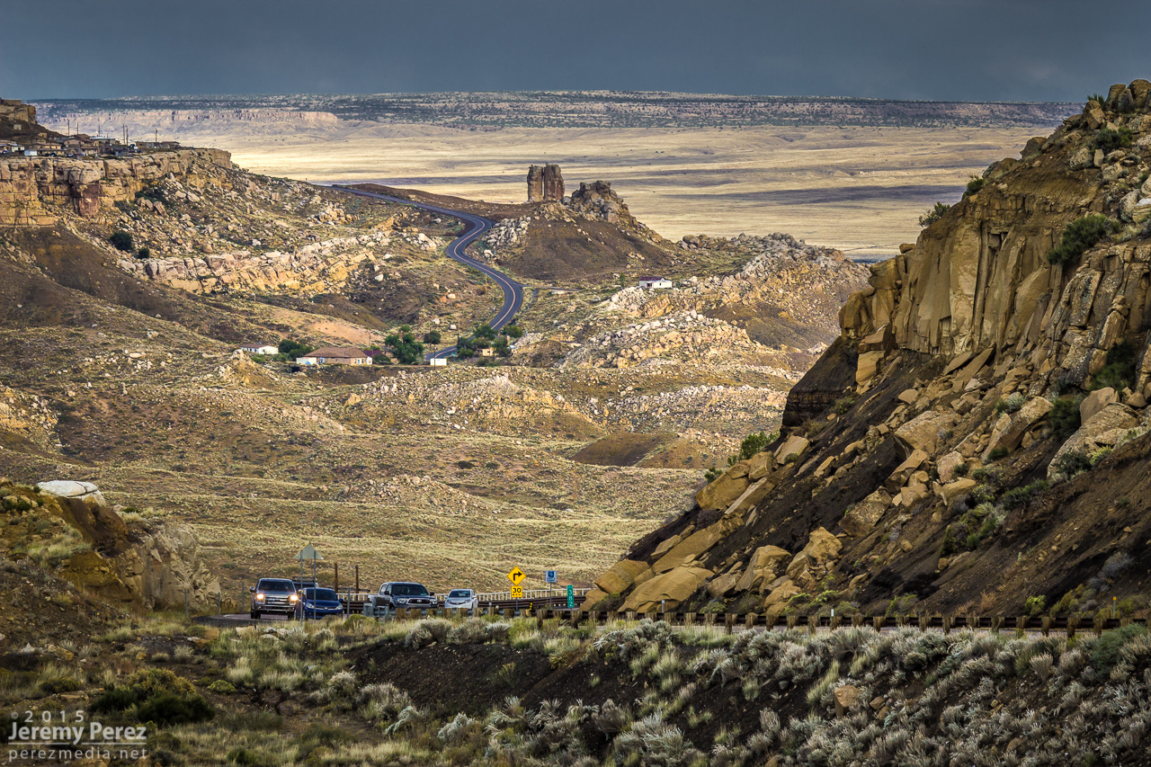
Road to Mishongnovi
DSC_4848-Pano
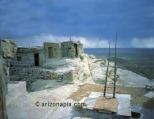
Village Made Of Rock
DSC_4858-Pano
DSC_4815-Pano

DSC_4817-Pano
DSC_4839-Pano

Big rock.

Rain Forecast

Lone Hill

Unimproved building.

The groove in the rock was carved out and filled with water. Kids would race twigs or leaves.

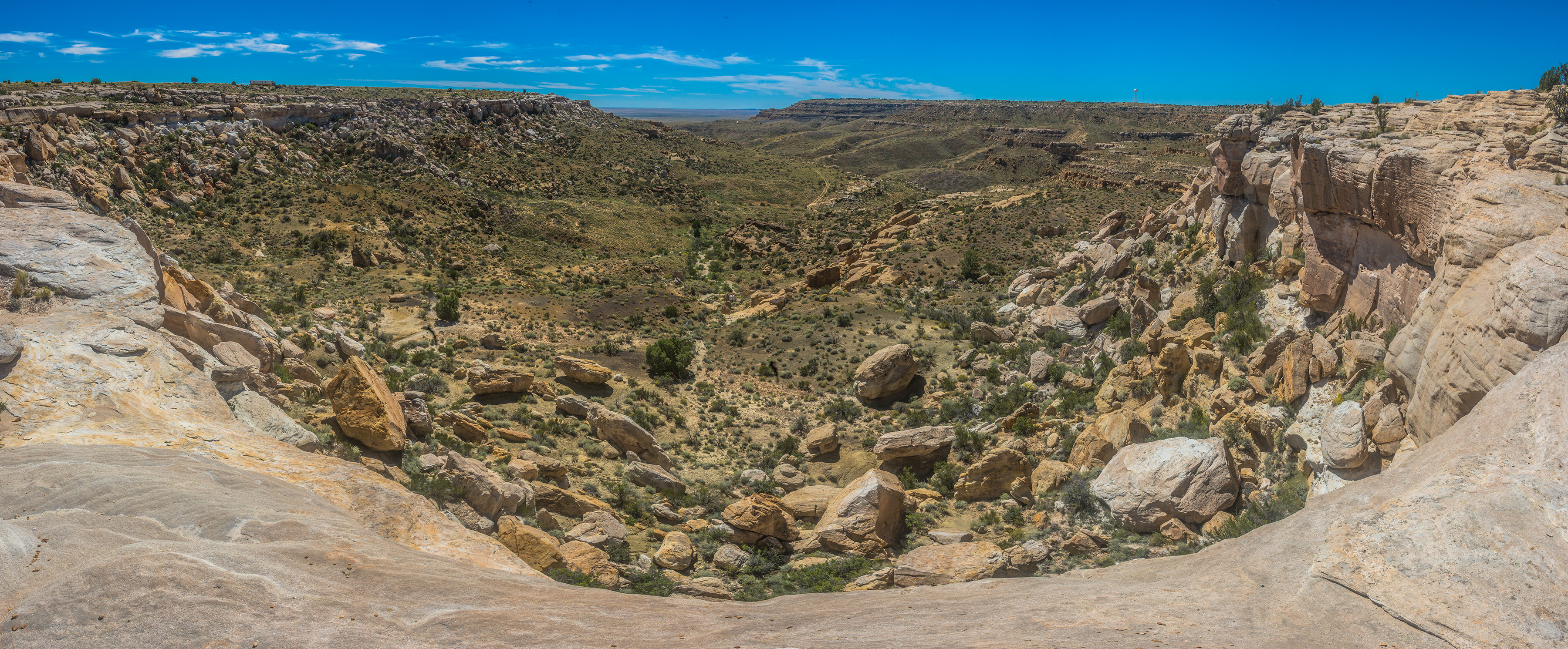
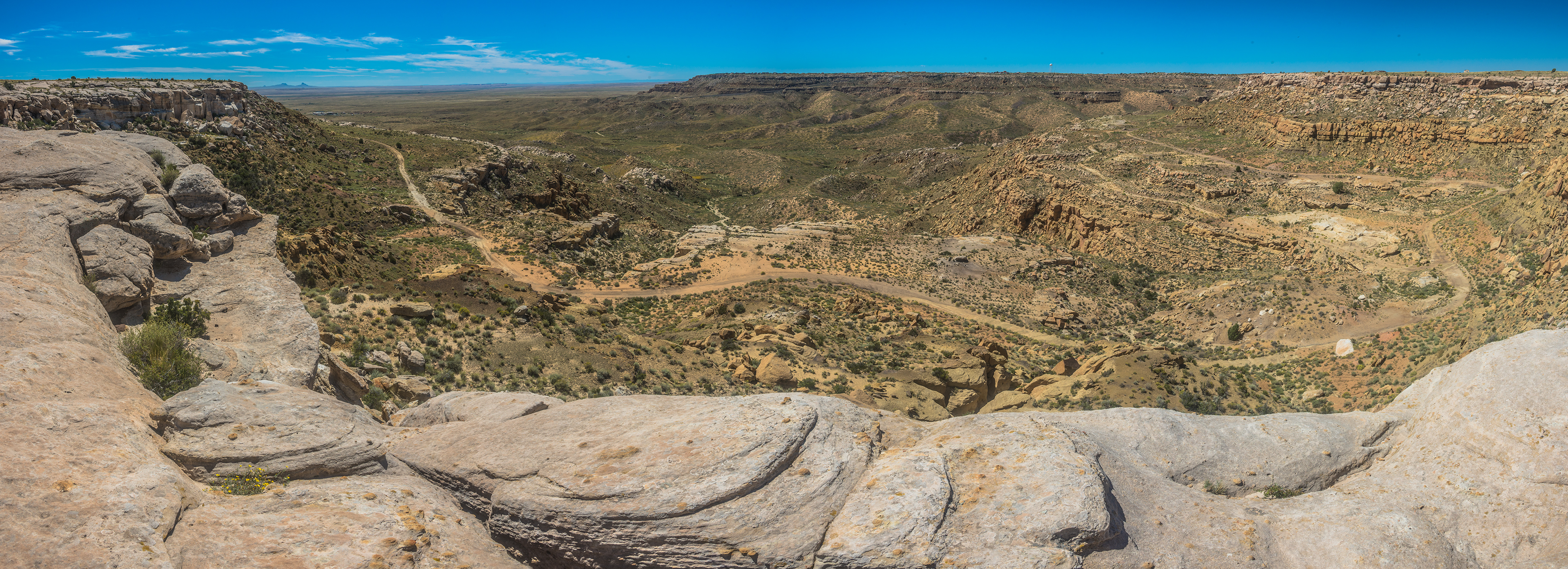
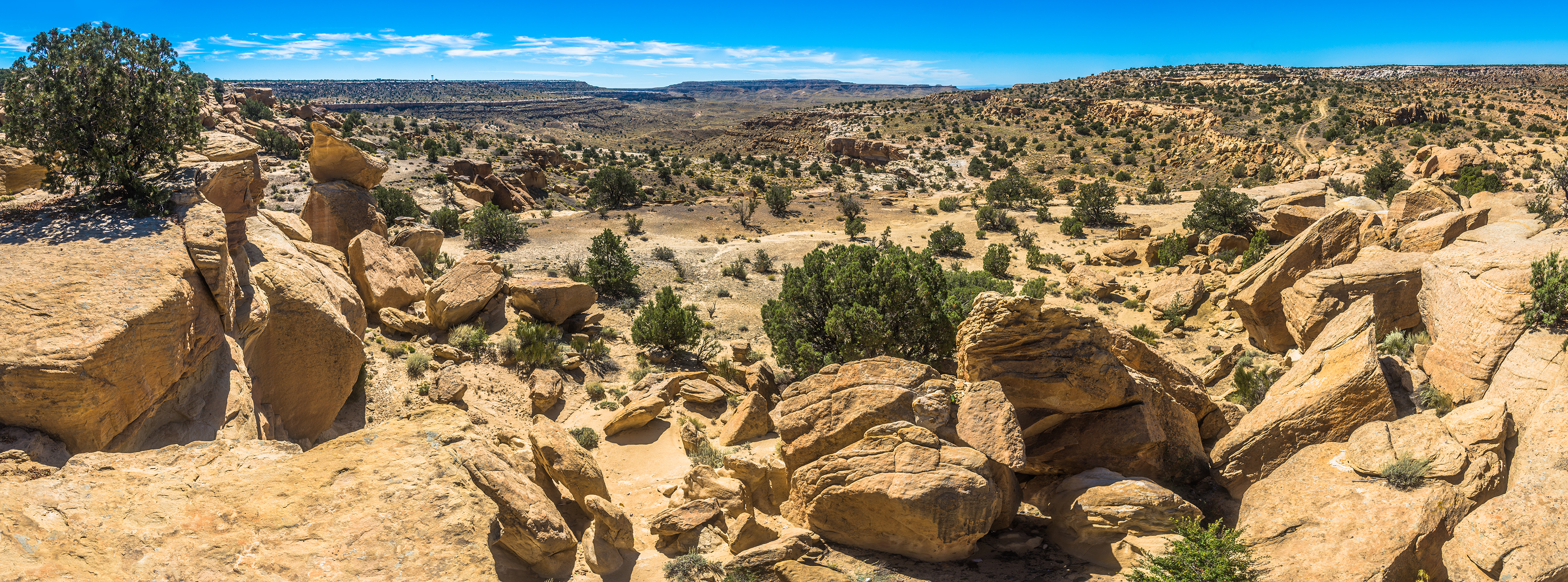
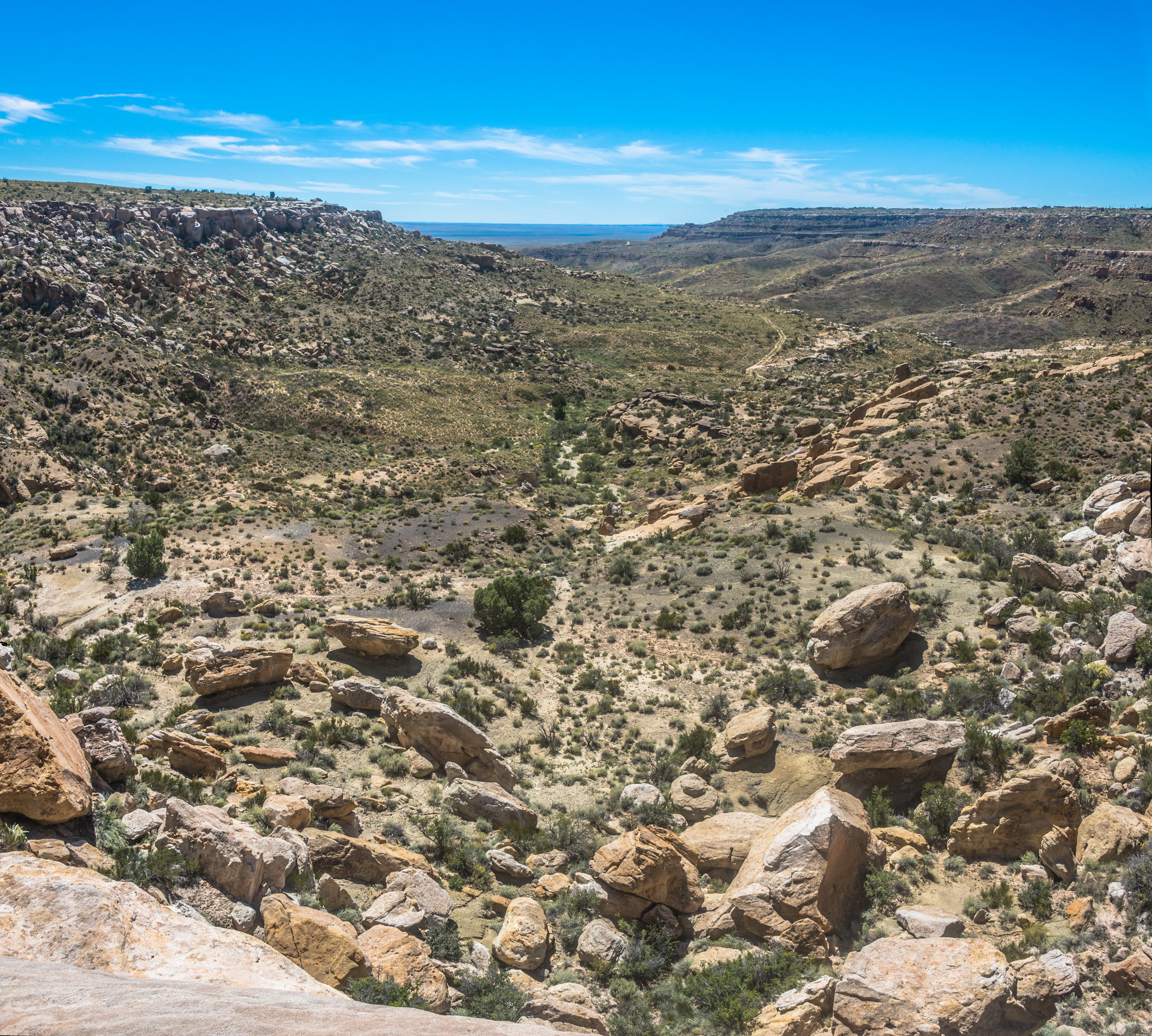
The cliffs looking out over the valley.
Topographic Map of Second Mesa, AZ, USA
Find elevation by address:

Places in Second Mesa, AZ, USA:
Places near Second Mesa, AZ, USA:
Mishongnovi Community Center
Sunlight Community Church
Mishongnovi
United States Postal Service
Hopi Health Care Center
Polacca Post Office
First Mesa
Polacca
Main St, Kykotsmovi, AZ, USA
Kykotsmovi
Kykotsmovi Village
Arizona 264
Na Ah Tee
Painted Desert
Navajo County
Coal Mine Canyon
Indian Wells
Elephants Feet Rest Area
Tonalea
Leupp
Recent Searches:
- Elevation of Tenjo, Cundinamarca, Colombia
- Elevation of Côte-des-Neiges, Montreal, QC H4A 3J6, Canada
- Elevation of Bobcat Dr, Helena, MT, USA
- Elevation of Zu den Ihlowbergen, Althüttendorf, Germany
- Elevation of Badaber, Peshawar, Khyber Pakhtunkhwa, Pakistan
- Elevation of SE Heron Loop, Lincoln City, OR, USA
- Elevation of Slanický ostrov, 01 Námestovo, Slovakia
- Elevation of Spaceport America, Co Rd A, Truth or Consequences, NM, USA
- Elevation of Warwick, RI, USA
- Elevation of Fern Rd, Whitmore, CA, USA