Elevation of Elephants Feet Rest Area, Tonalea, AZ, USA
Location: United States > Arizona > Coconino County > Tonalea >
Longitude: -110.92374
Latitude: 36.3301332
Elevation: 1668m / 5472feet
Barometric Pressure: 83KPa
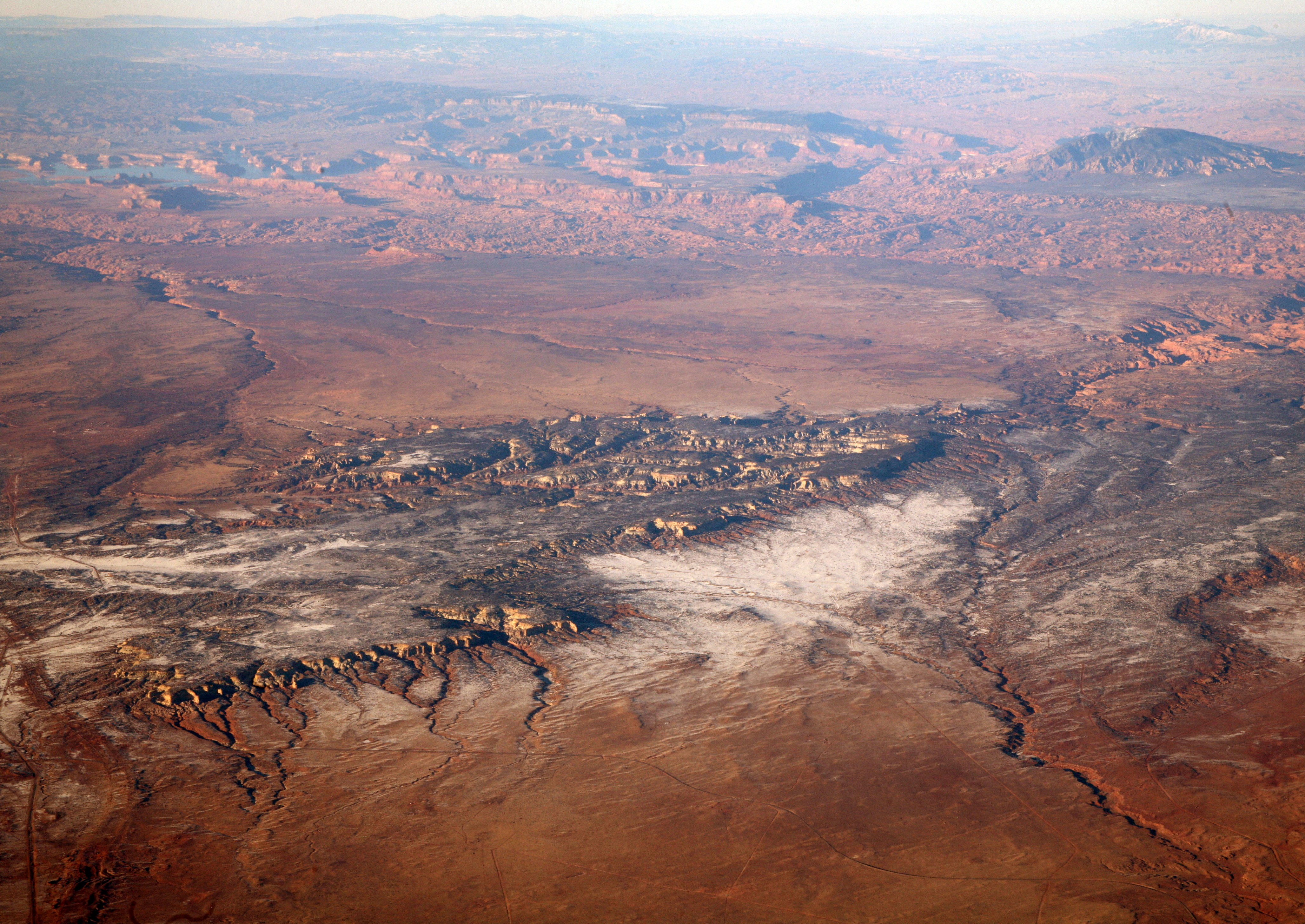
Elevation Map:
Satellite Map:
Related Photos:

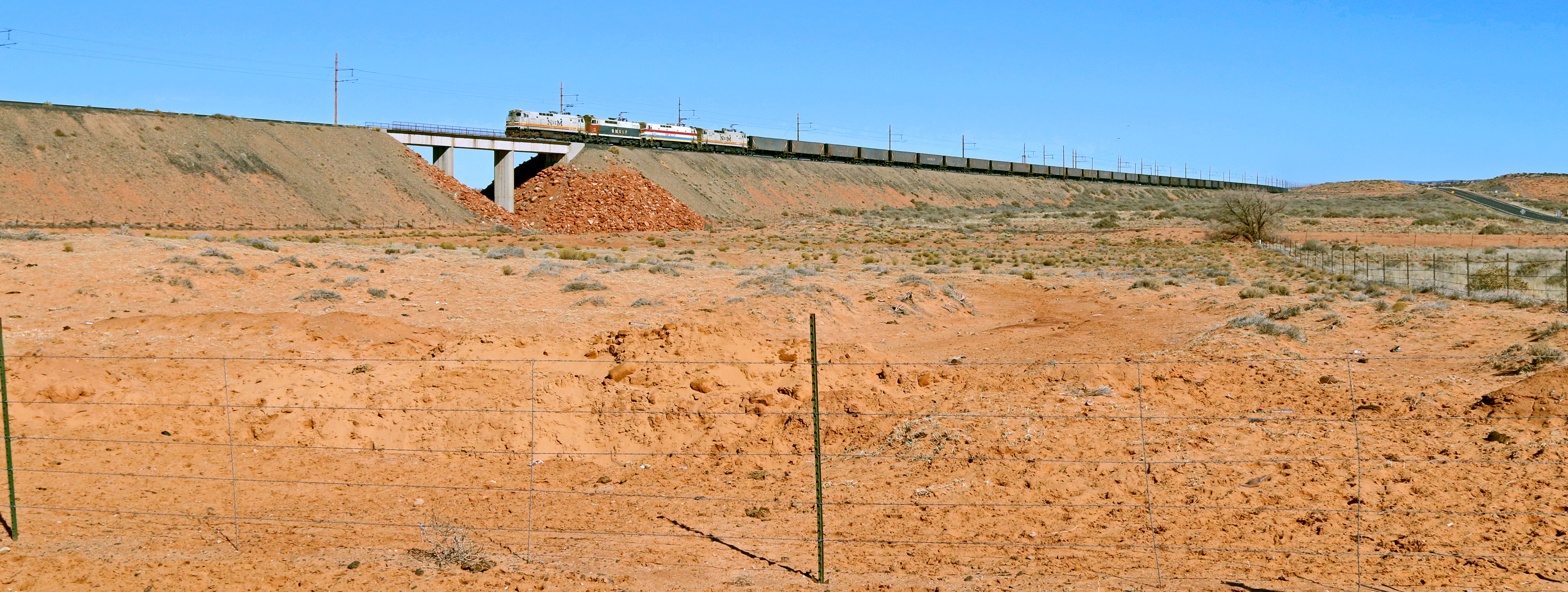
2013_01_17_lax-jfk_229
2013_01_17_lax-jfk_228
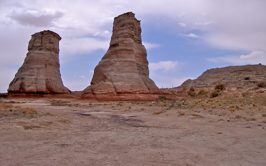
Elephant Feet
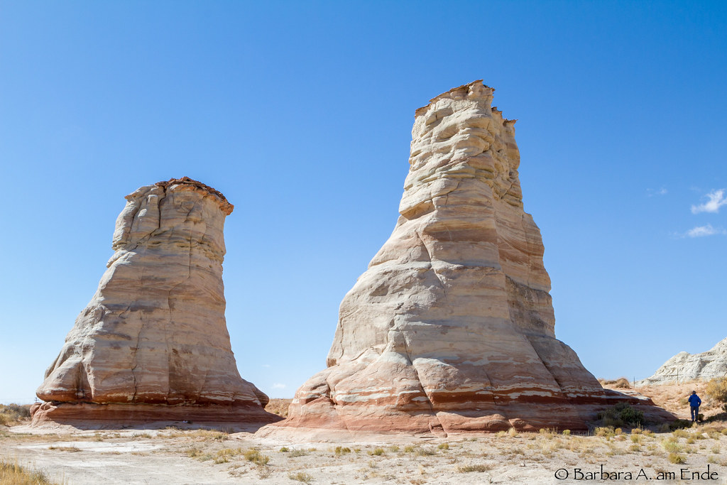
The Elephant Feet
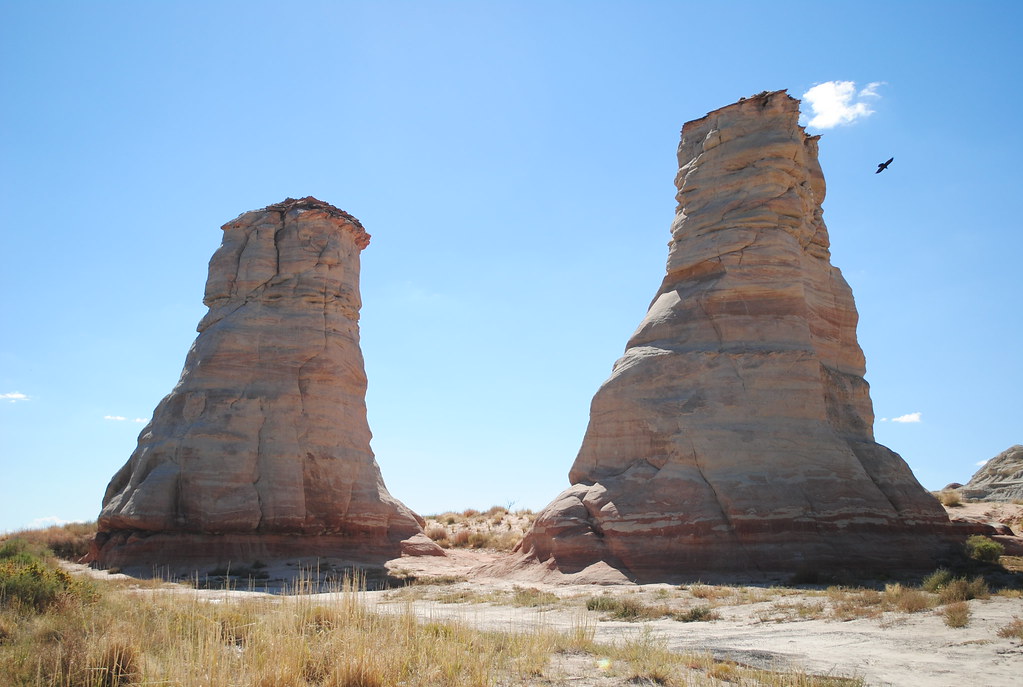
Elephant Feet - Navajo Nation, Tonalea, AZ

Beyond the Tracks

Elephant Feet Arizona

Grand Canyon, Arizona

Grand Canyon, Arizona

Grand Canyon, Arizona

Grand Canyon, Arizona

Grand Canyon, Arizona

Grand Canyon, Arizona

Grand Canyon, Arizona

Grand Canyon, Arizona

Grand Canyon, Arizona

Grand Canyon, Arizona

Grand Canyon, Arizona

Grand Canyon, Arizona

Grand Canyon, Arizona
50.000 Volts of Pure Luck.
road trip! 243
Topographic Map of Elephants Feet Rest Area, Tonalea, AZ, USA
Find elevation by address:

Places near Elephants Feet Rest Area, Tonalea, AZ, USA:
Tonalea
Coal Mine Canyon
Kykotsmovi Village
Kykotsmovi
Main St, Kykotsmovi, AZ, USA
United States Postal Service
Mishongnovi
Mishongnovi Community Center
Sunlight Community Church
Second Mesa
Hopi Health Care Center
Polacca Post Office
First Mesa
Polacca
Arizona 264
Leupp
Rough Rock
Na Ah Tee
Painted Desert
Navajo County
Recent Searches:
- Elevation of W Granada St, Tampa, FL, USA
- Elevation of Pykes Down, Ivybridge PL21 0BY, UK
- Elevation of Jalan Senandin, Lutong, Miri, Sarawak, Malaysia
- Elevation of Bilohirs'k
- Elevation of 30 Oak Lawn Dr, Barkhamsted, CT, USA
- Elevation of Luther Road, Luther Rd, Auburn, CA, USA
- Elevation of Unnamed Road, Respublika Severnaya Osetiya — Alaniya, Russia
- Elevation of Verkhny Fiagdon, North Ossetia–Alania Republic, Russia
- Elevation of F. Viola Hiway, San Rafael, Bulacan, Philippines
- Elevation of Herbage Dr, Gulfport, MS, USA