Elevation of Rough Rock, AZ, USA
Location: United States > Arizona > Apache County >
Longitude: -109.87289
Latitude: 36.4072229
Elevation: 1904m / 6247feet
Barometric Pressure: 80KPa
Elevation Map:
Satellite Map:
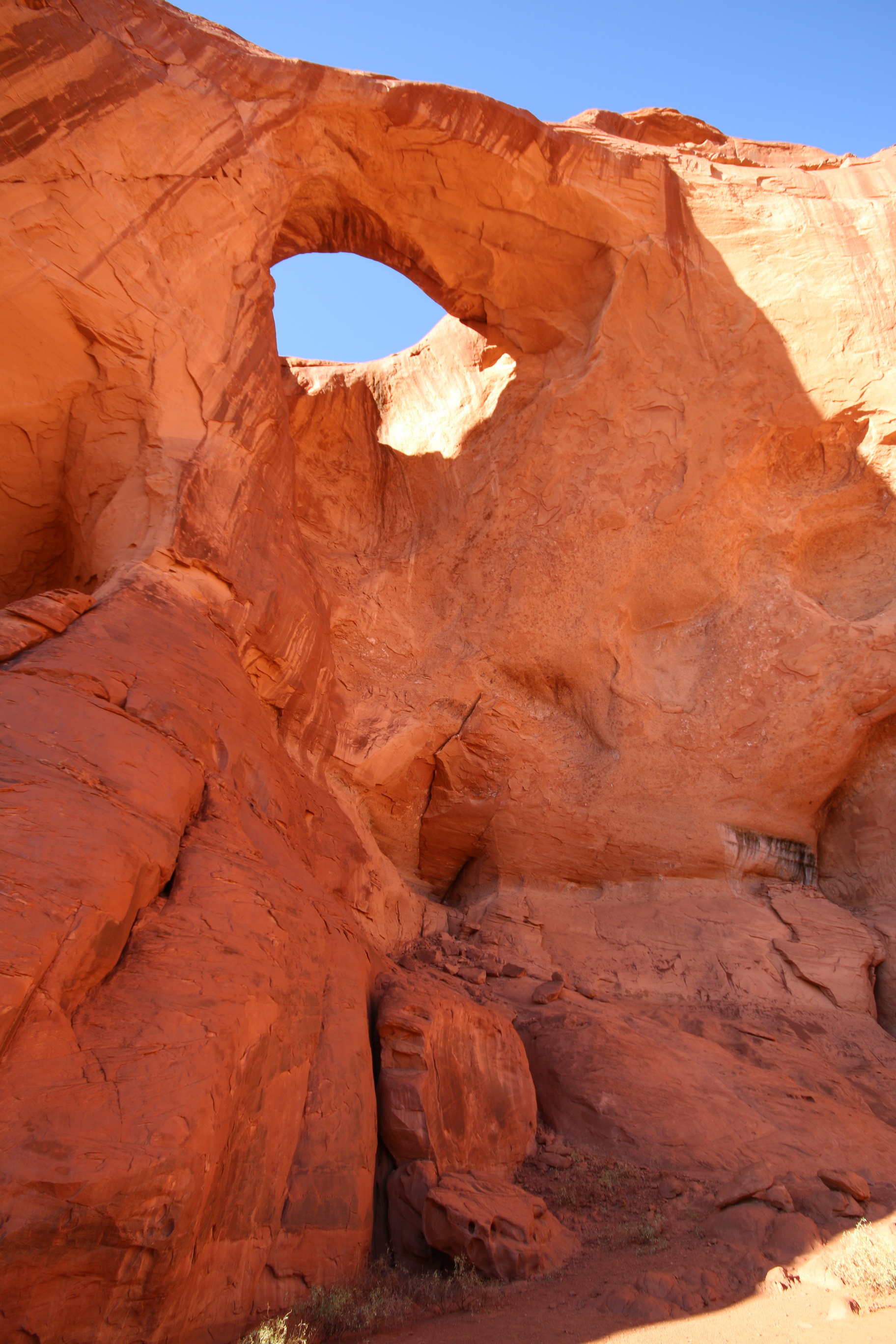
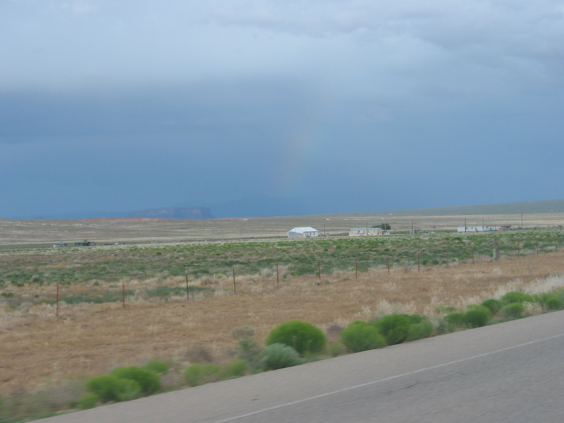
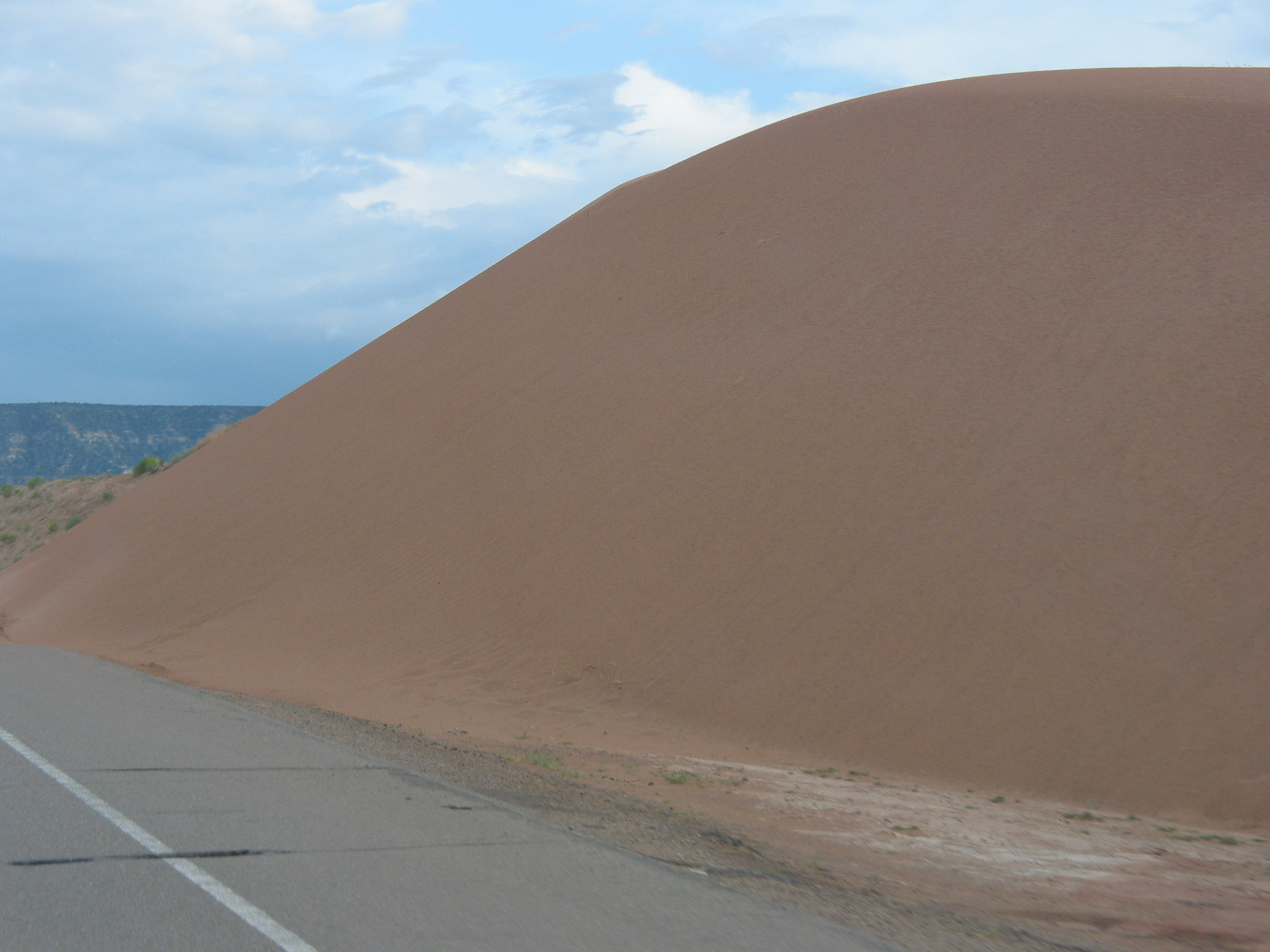
Related Photos:
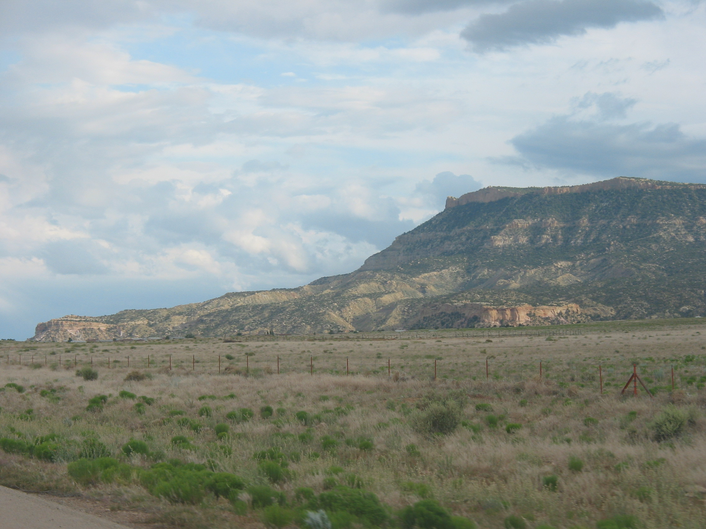
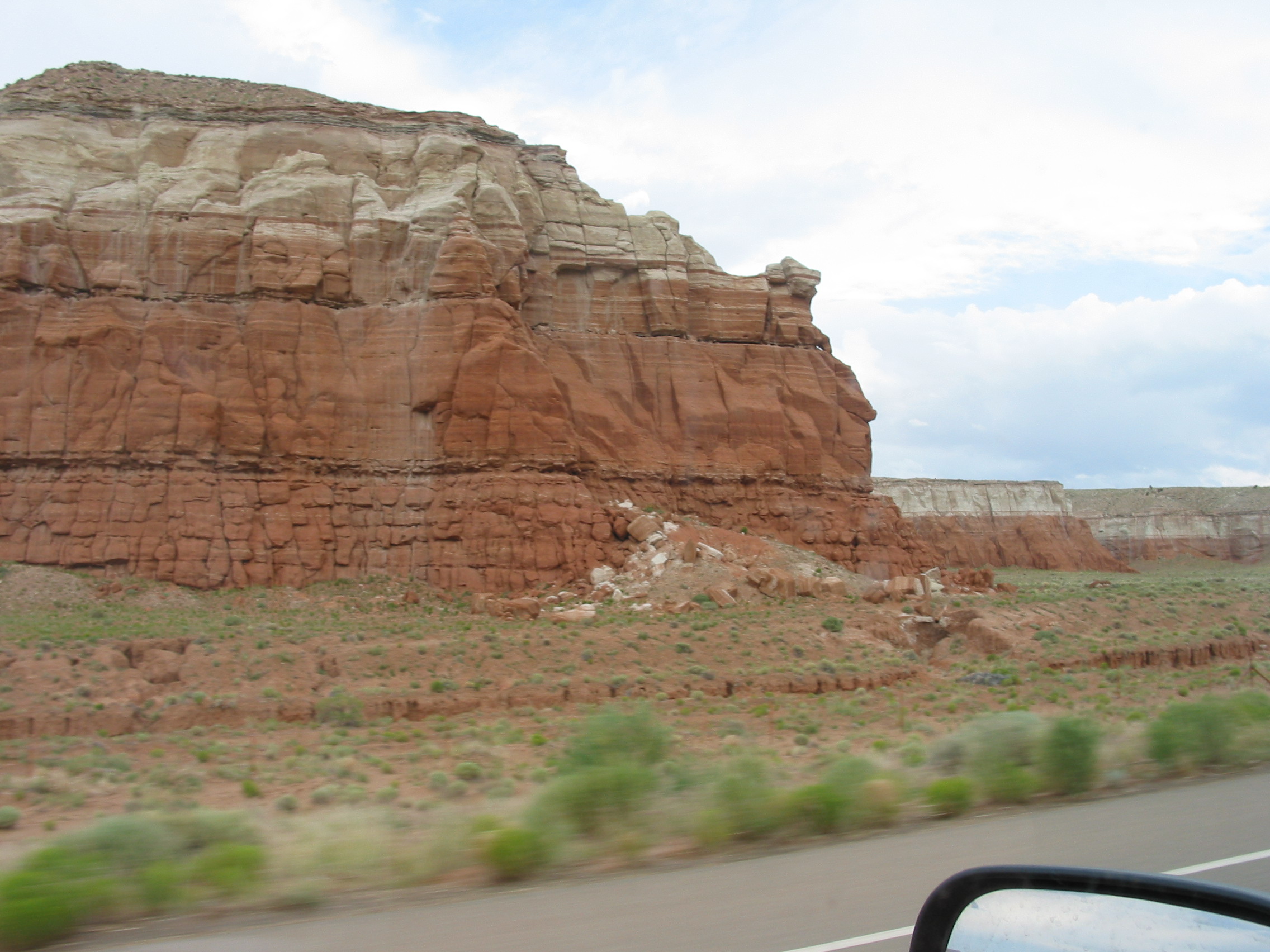
1308 (33)
2008-03-19_IMG_9627
188-8876_IMG
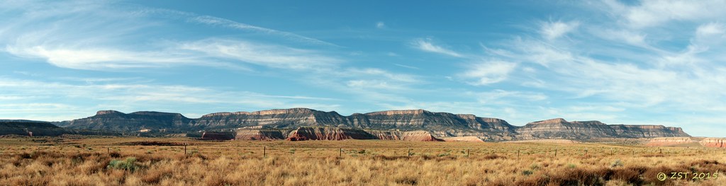
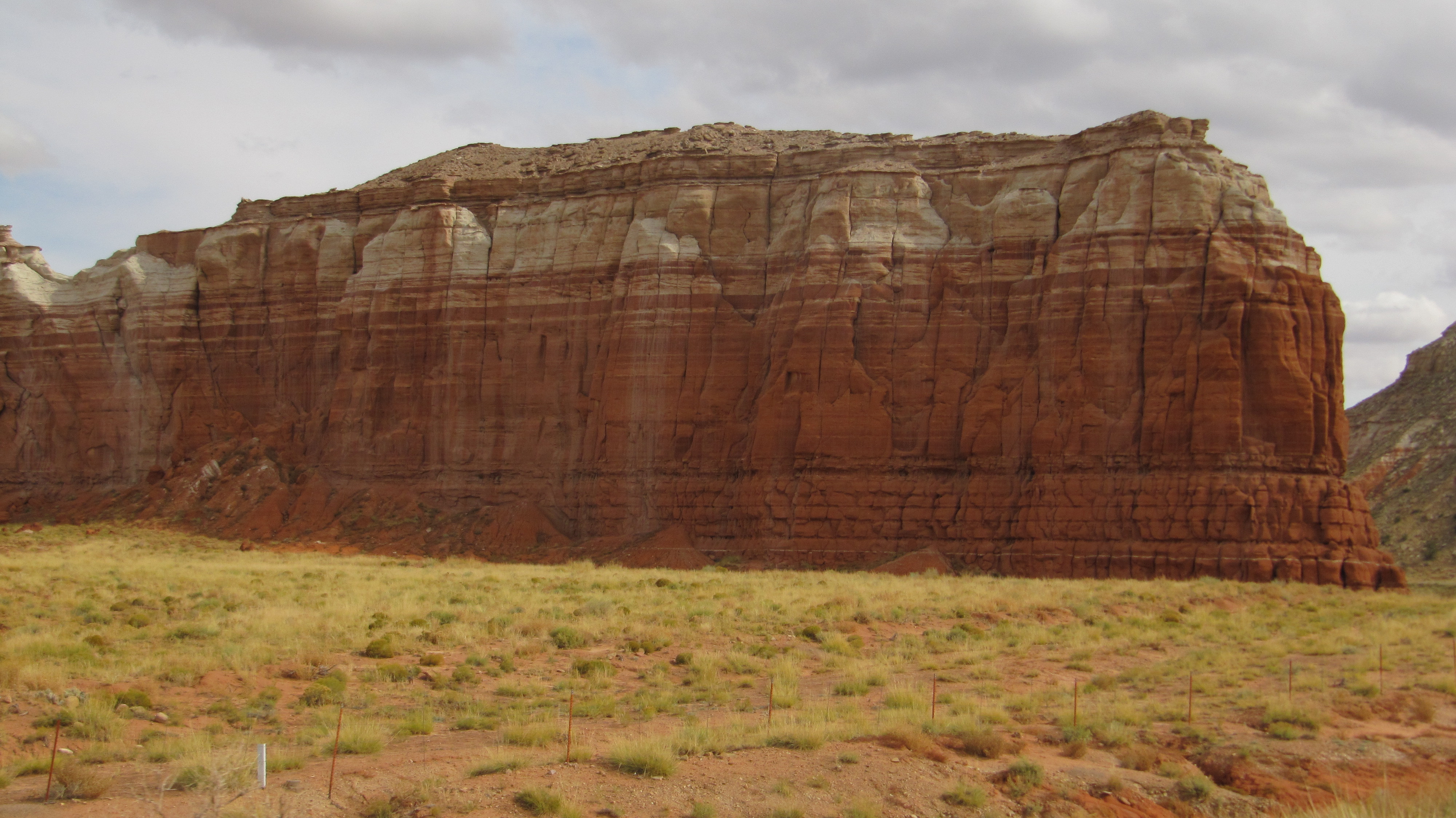
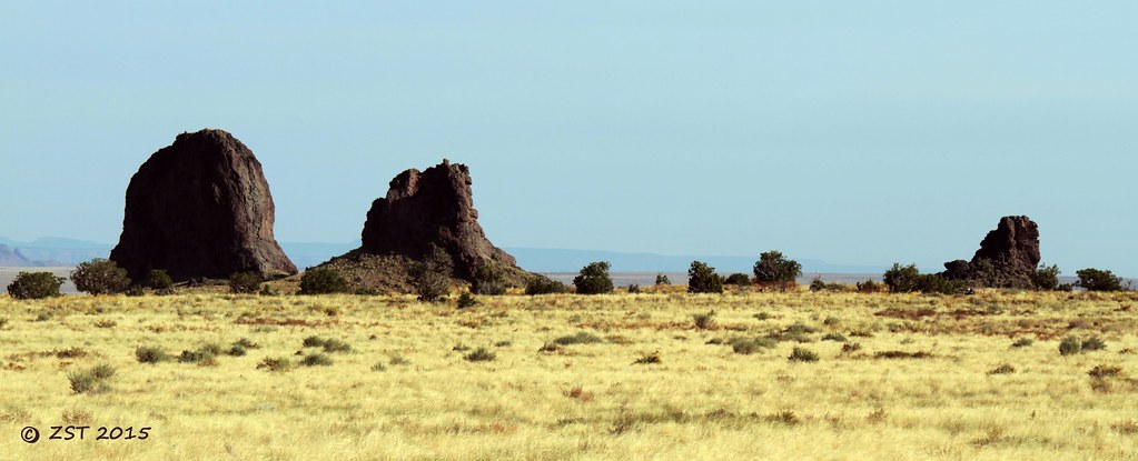
Rough Rock Mesa Panorama
188-8880_IMG
Relieves tabulares en el norte de Arizona, EEUU
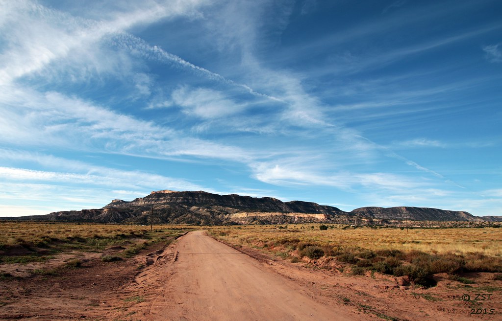
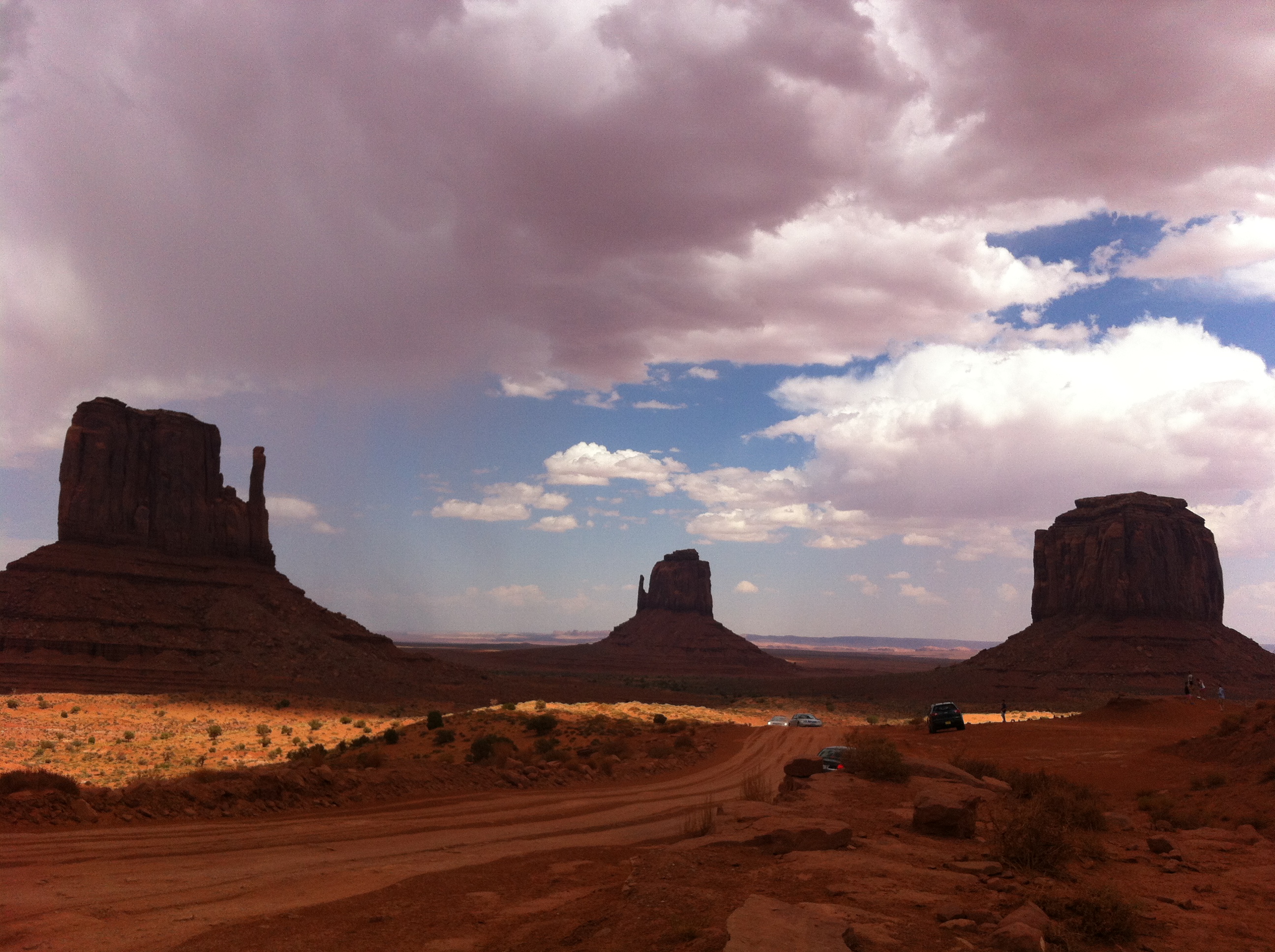
Rough Rock Cloudscape
Relieves tabulares en el norte de Arizona, EEUU
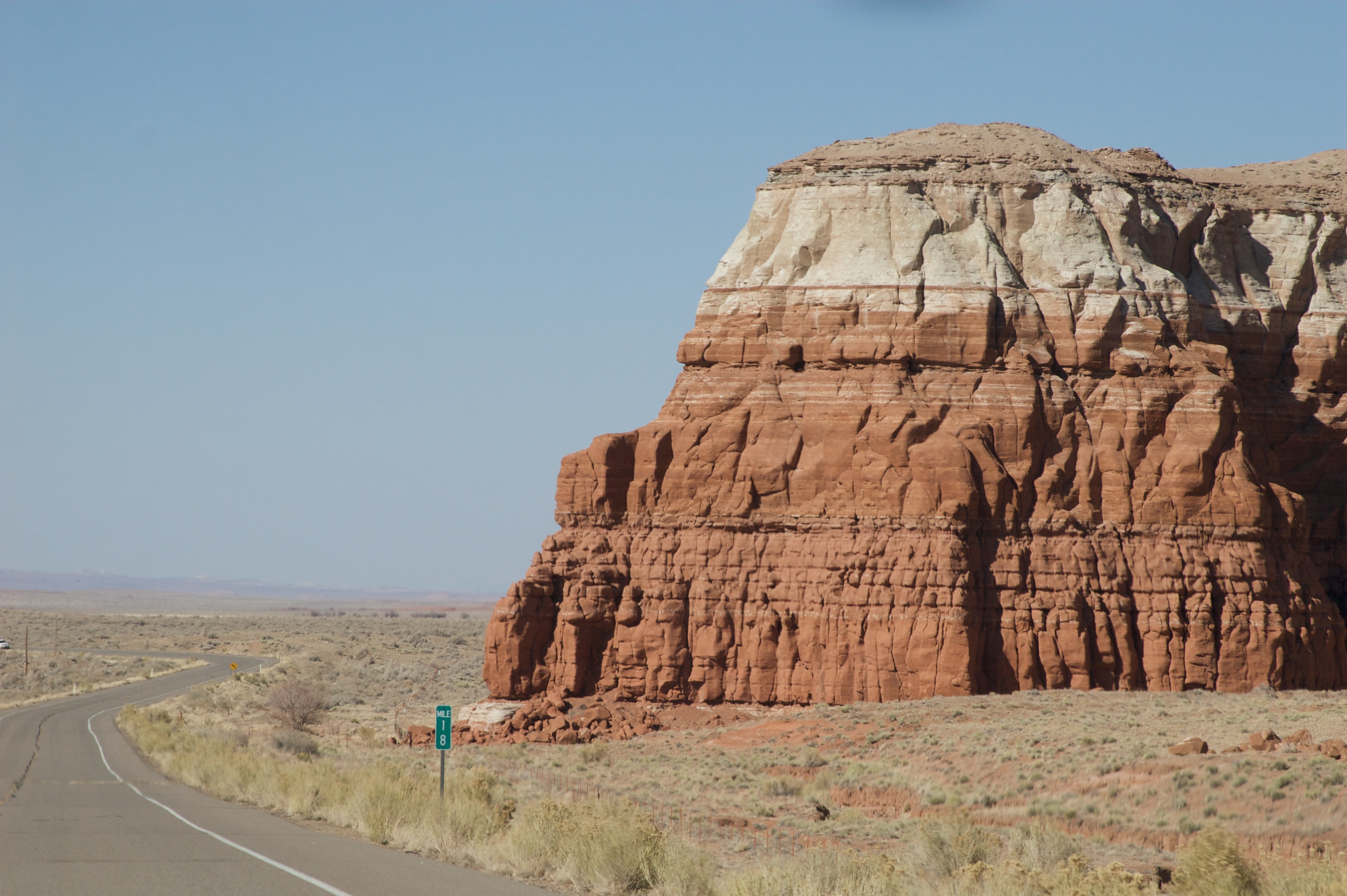
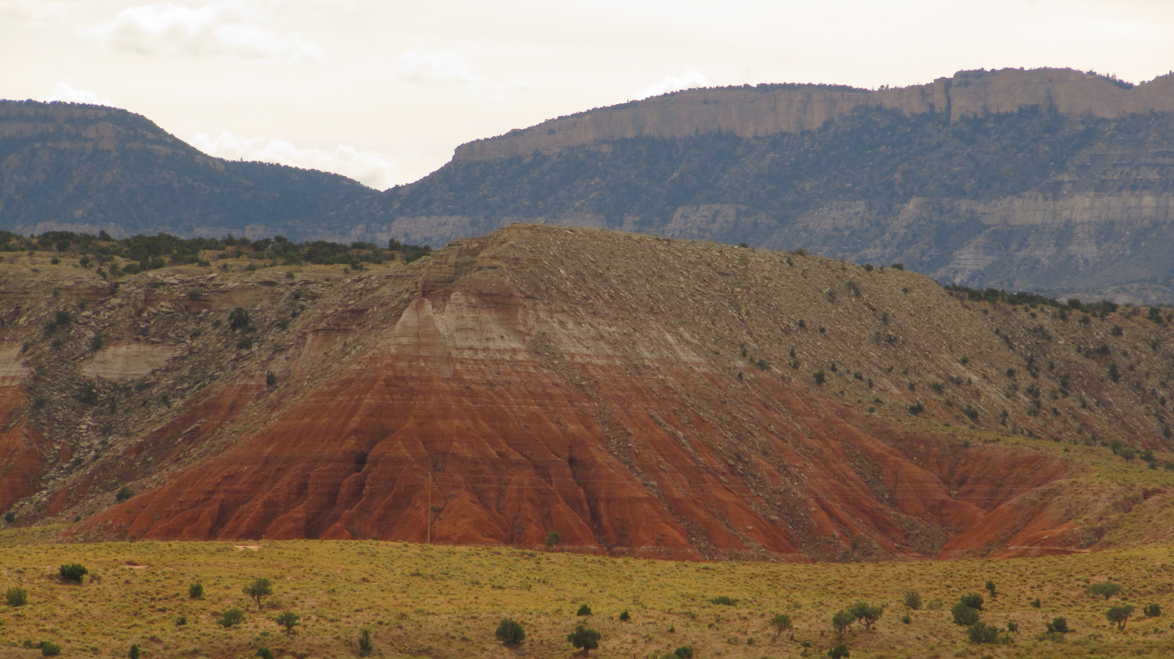
Volcanic Remnants
IMG_2933 - Kopie
188-8881_IMG
188-8879_IMG
188-8878_IMG
Topographic Map of Rough Rock, AZ, USA
Find elevation by address:

Places near Rough Rock, AZ, USA:
Arizona 264
First Mesa
Polacca
Polacca Post Office
Hopi Health Care Center
Cornfield's Road
Mishongnovi
United States Postal Service
Mishongnovi Community Center
Sunlight Community Church
Second Mesa
Kykotsmovi
Kykotsmovi Village
Main St, Kykotsmovi, AZ, USA
Painted Desert
Na Ah Tee
Indian Wells
Navajo County
Elephants Feet Rest Area
Tonalea
Recent Searches:
- Elevation of Fern Rd, Whitmore, CA, USA
- Elevation of 62 Abbey St, Marshfield, MA, USA
- Elevation of Fernwood, Bradenton, FL, USA
- Elevation of Felindre, Swansea SA5 7LU, UK
- Elevation of Leyte Industrial Development Estate, Isabel, Leyte, Philippines
- Elevation of W Granada St, Tampa, FL, USA
- Elevation of Pykes Down, Ivybridge PL21 0BY, UK
- Elevation of Jalan Senandin, Lutong, Miri, Sarawak, Malaysia
- Elevation of Bilohirs'k
- Elevation of 30 Oak Lawn Dr, Barkhamsted, CT, USA