Elevation of Henry County, IA, USA
Location: United States > Iowa >
Longitude: -91.598395
Latitude: 41.0283603
Elevation: 220m / 722feet
Barometric Pressure: 99KPa
Elevation Map:
Satellite Map:
Related Photos:
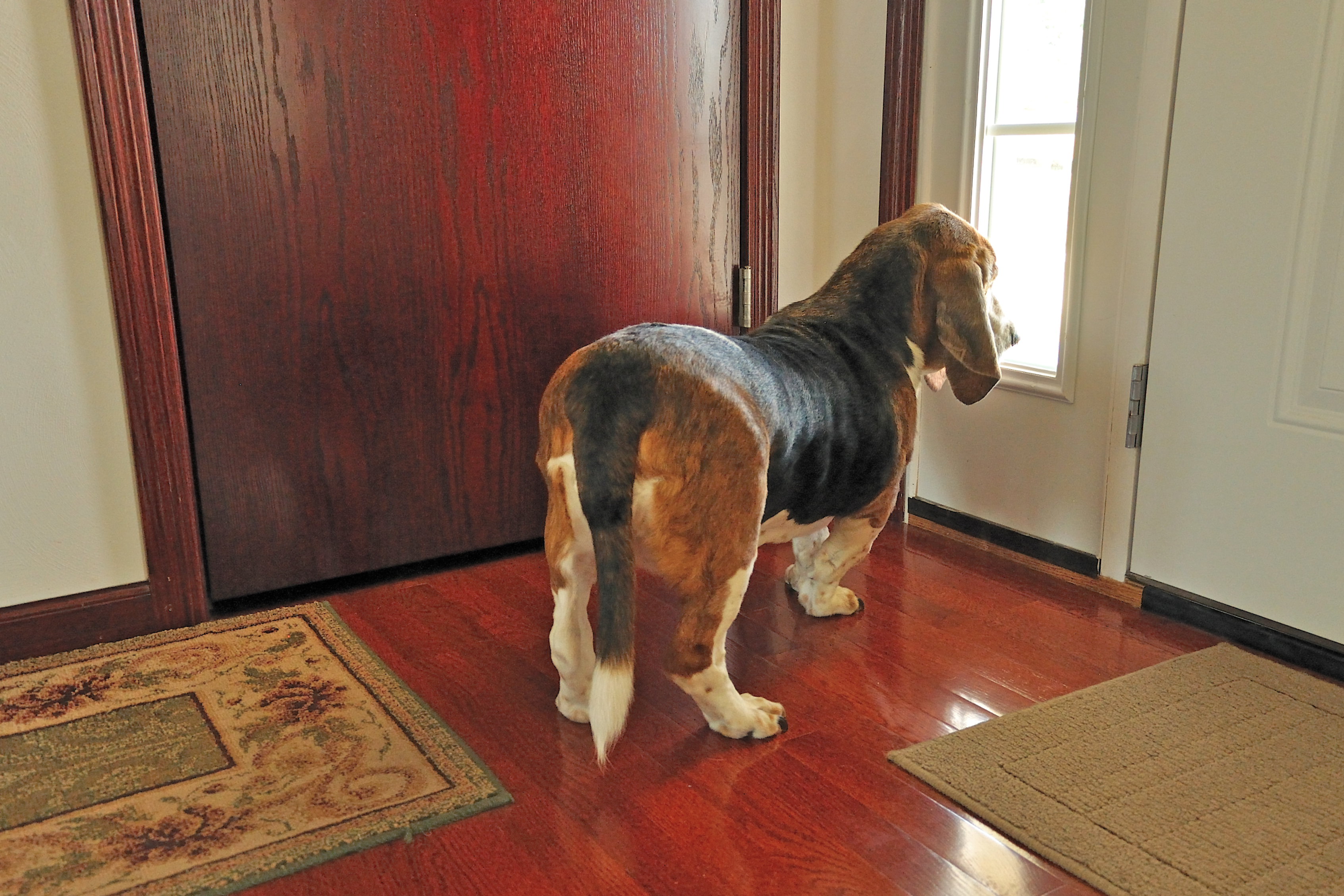
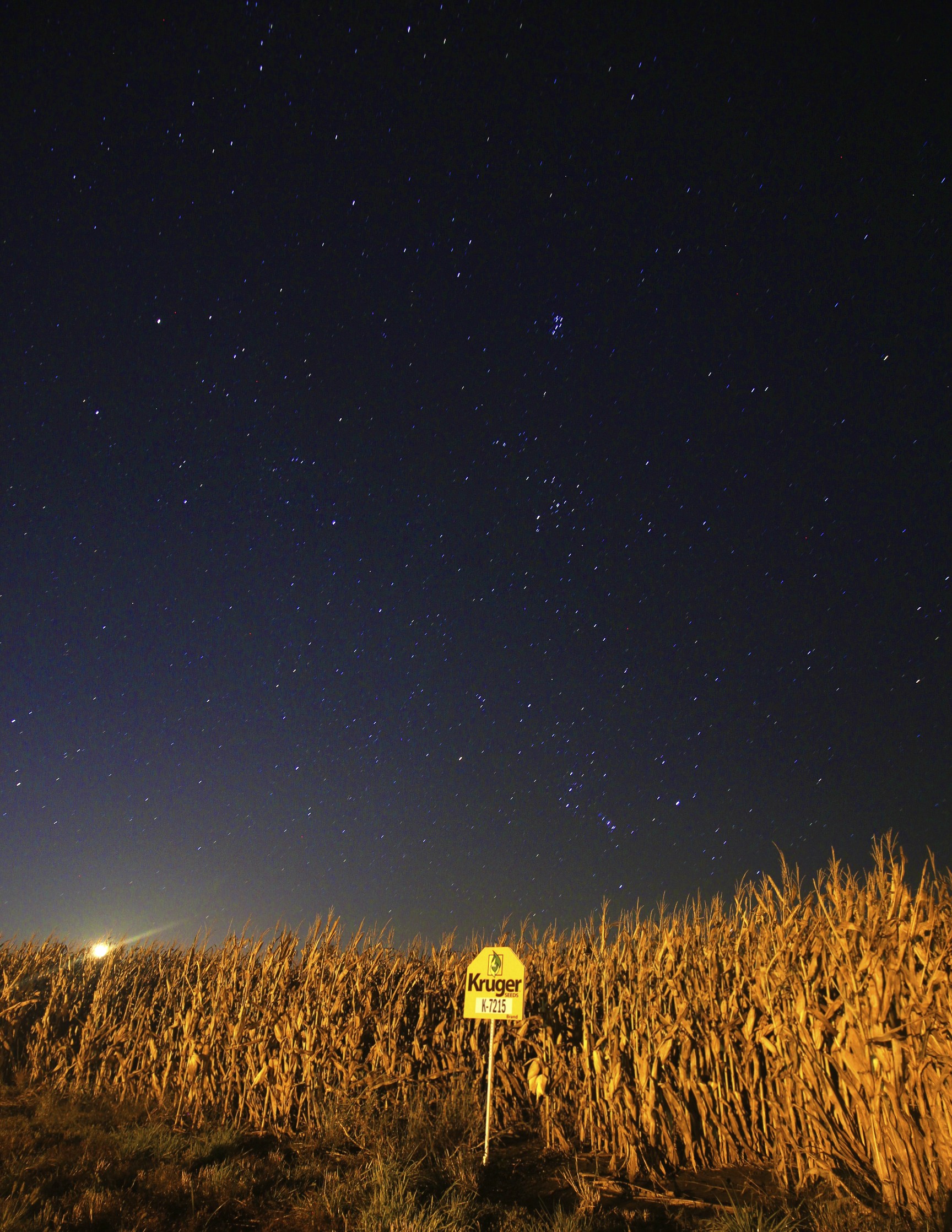
Room with a View
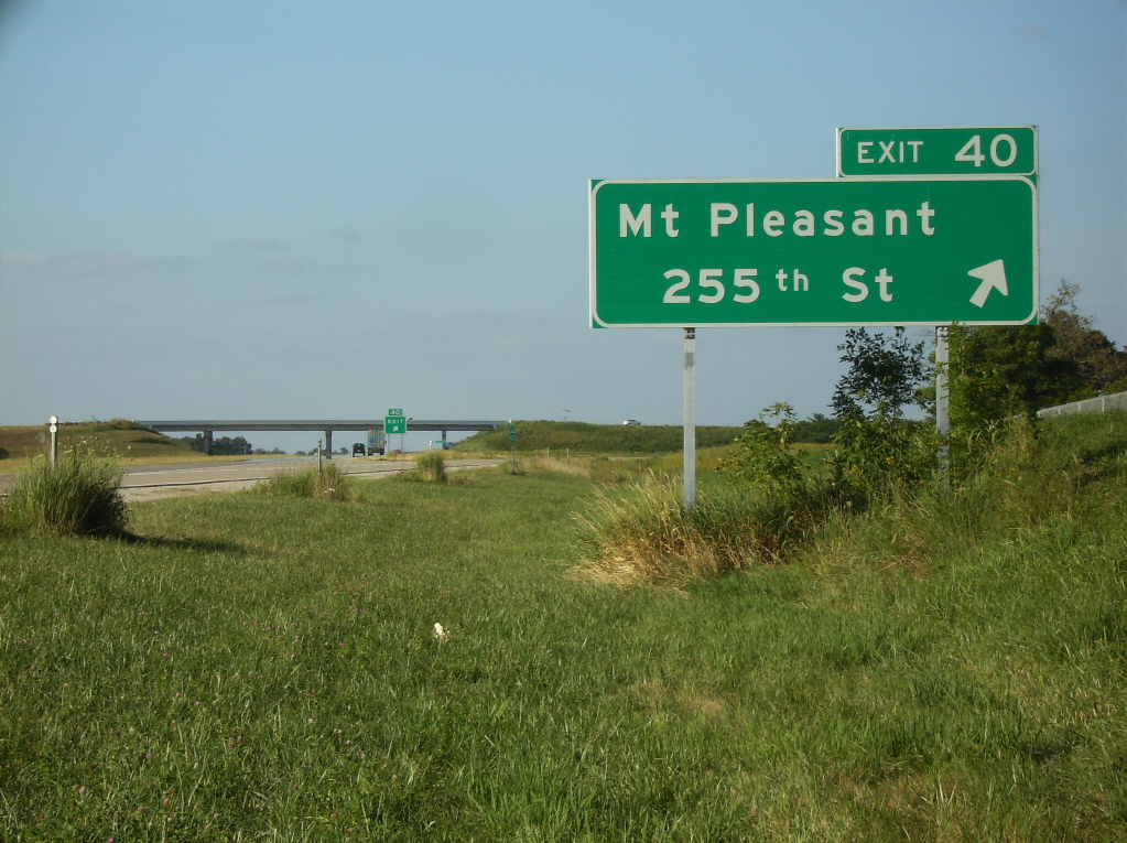
Avenue of the Saints northbound at 255th Street
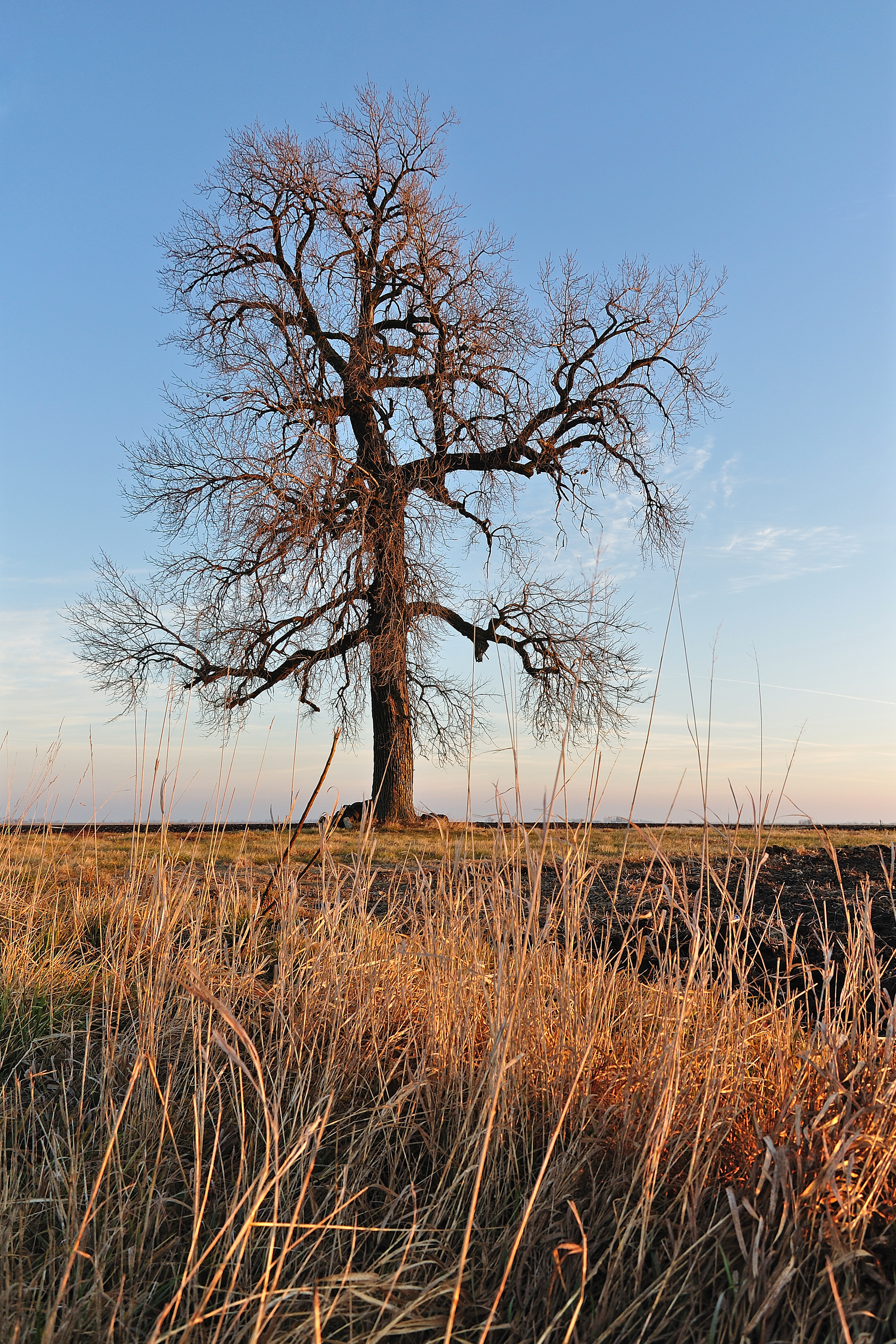
Holding Ground
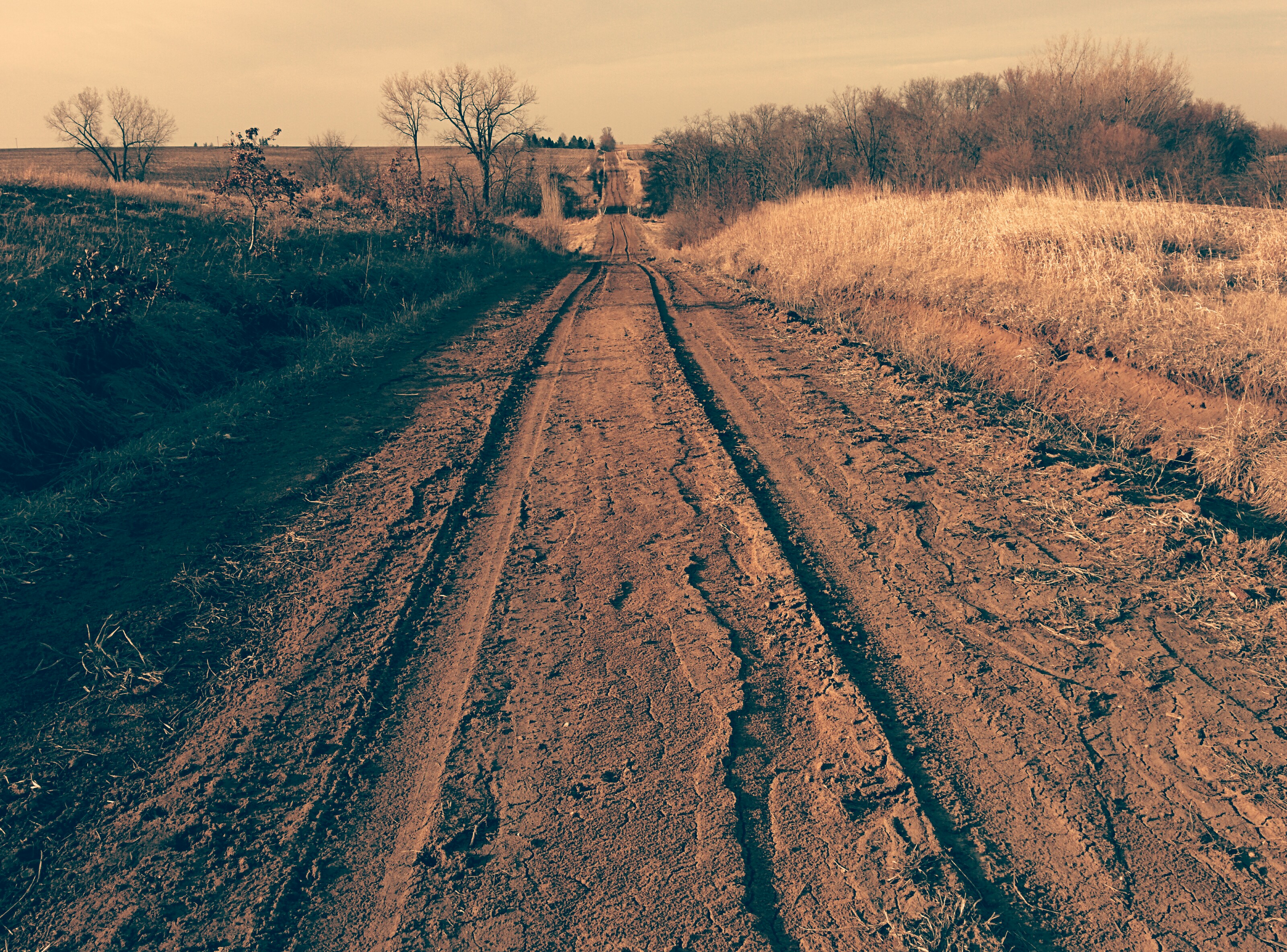
Tire tracks on dirt road
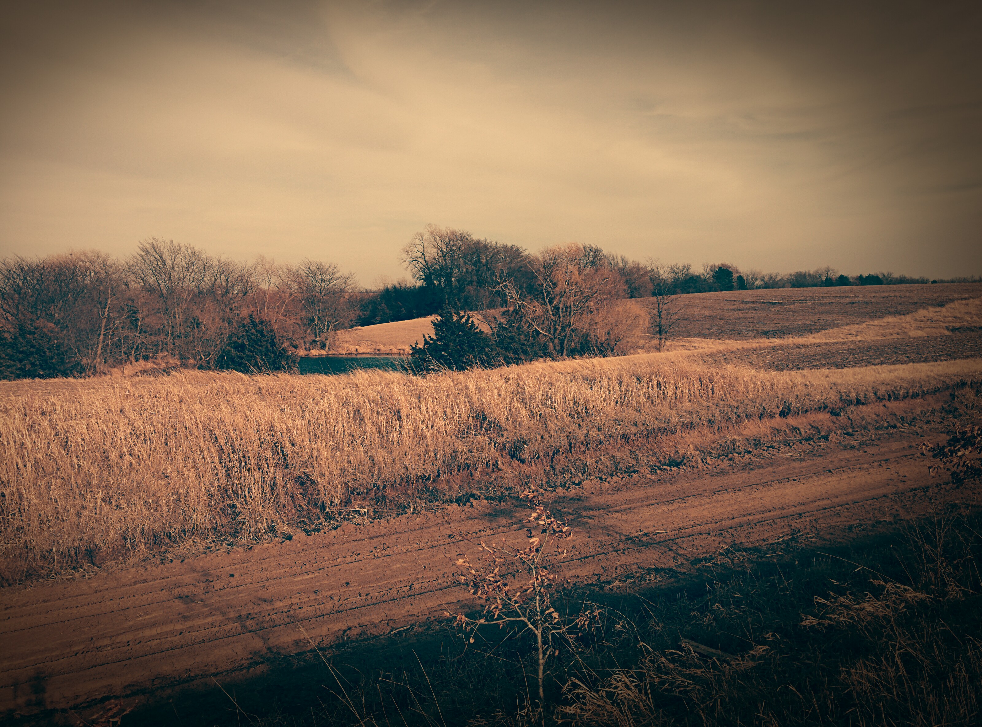
Dirt Road

Dirt Road

Old dirt road
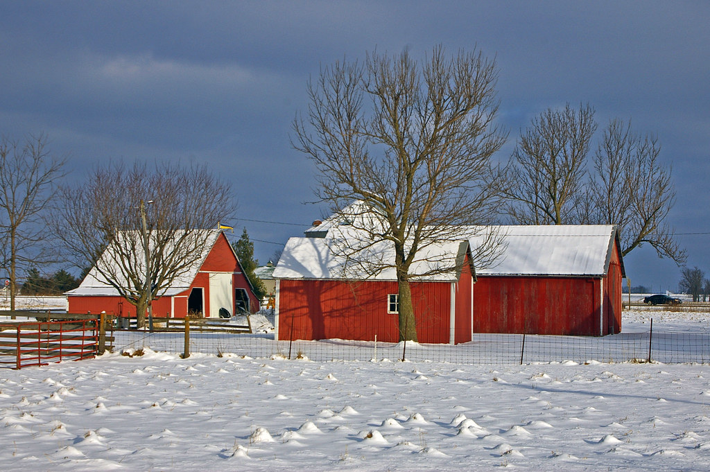
Red barns in Swedesburg, Iowa
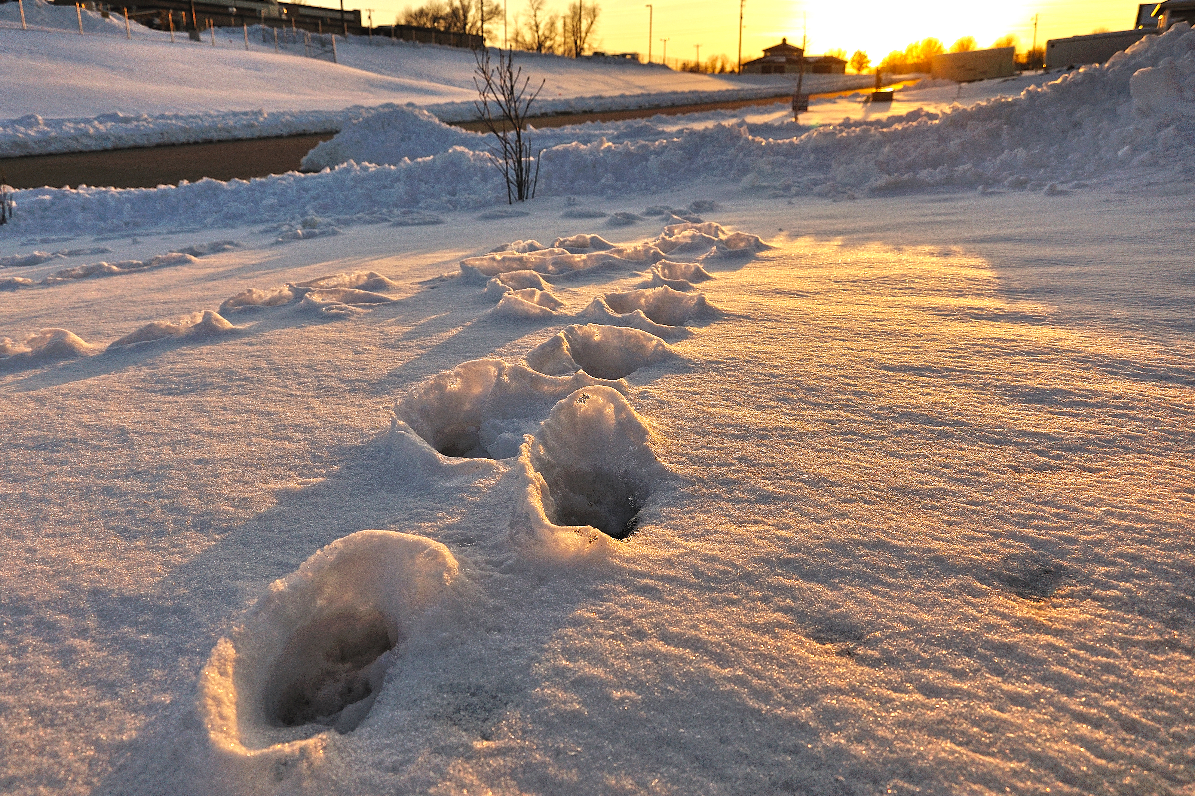
Winter Craters
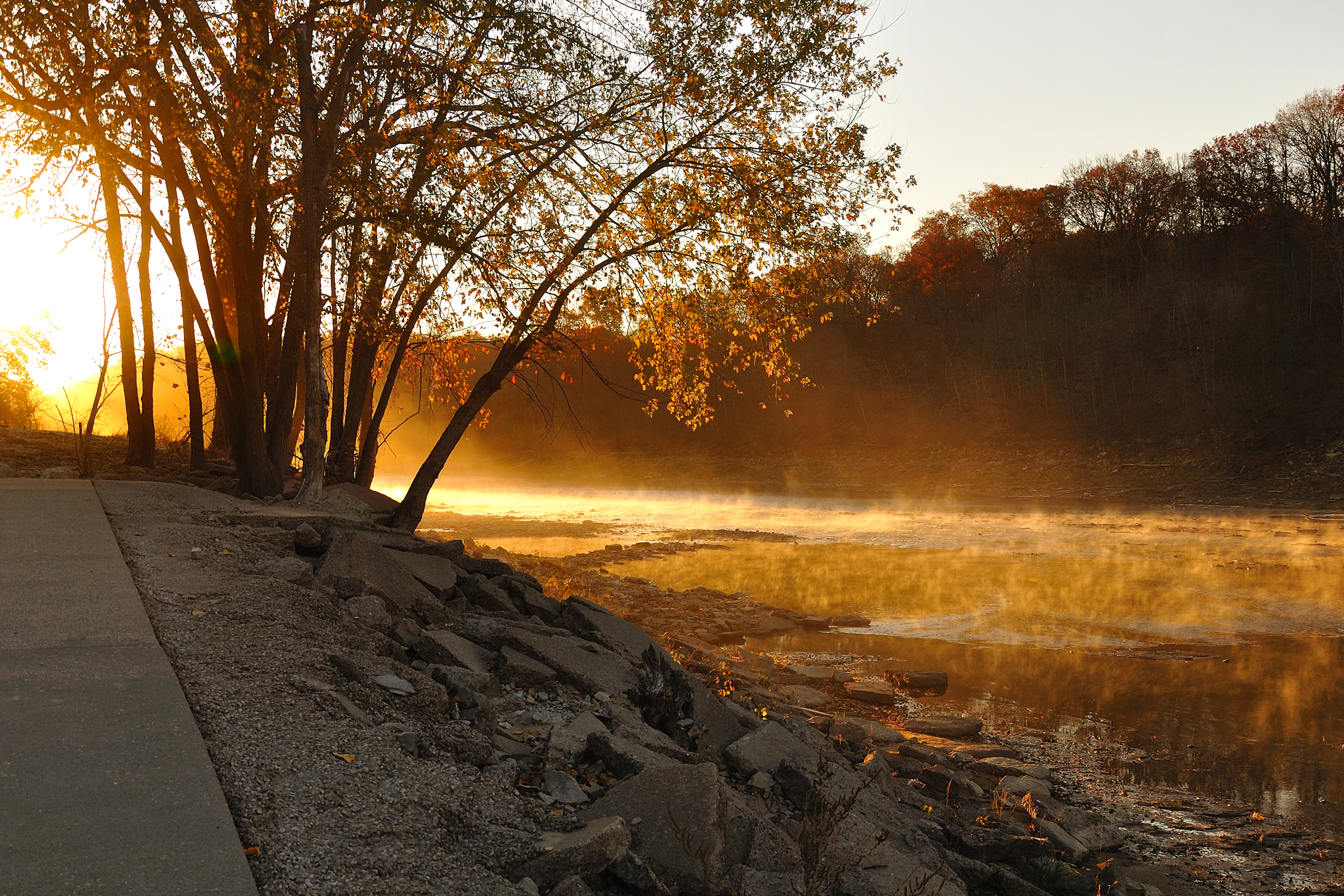
Waking River

Low Level Peace

IMG_6953-17 LR

Buncha Yellow
6/365
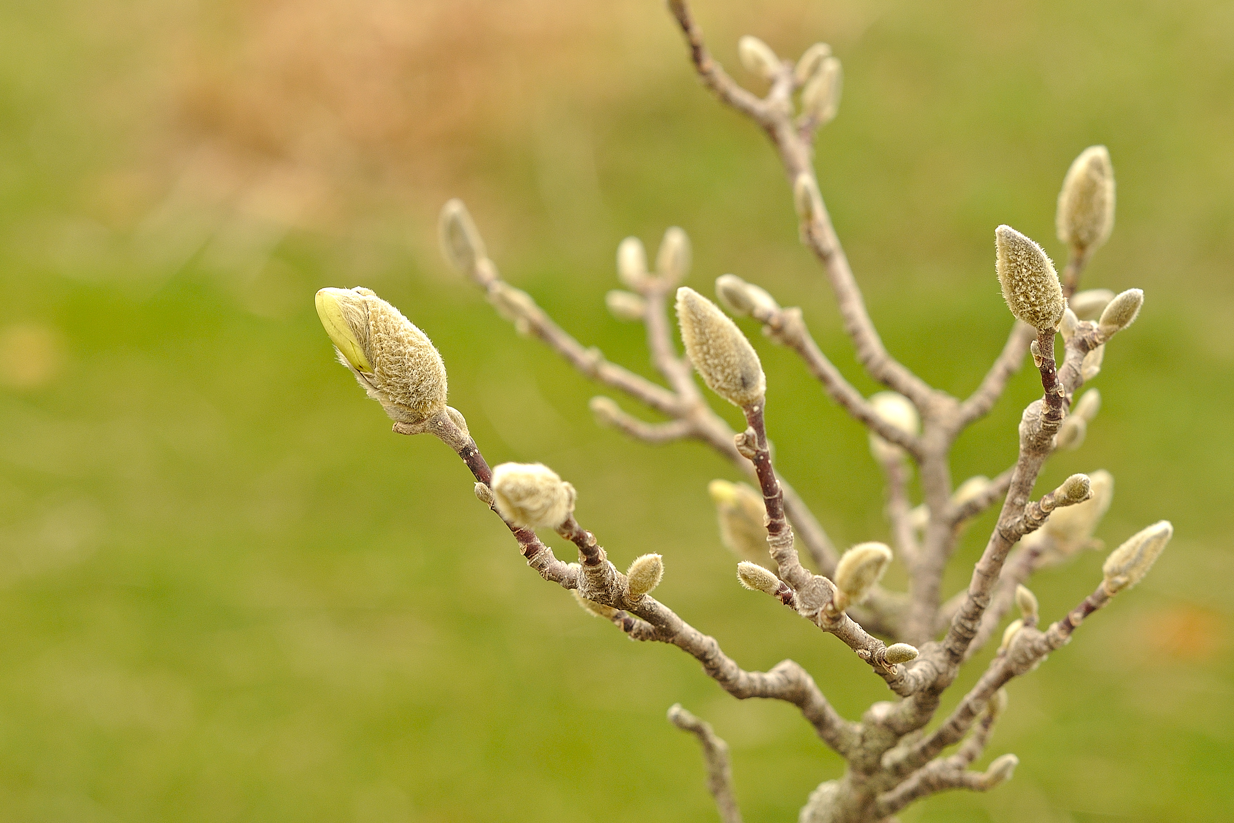
"Come on Spring!"

Oakland Mills Near Mt Pleasant, IA

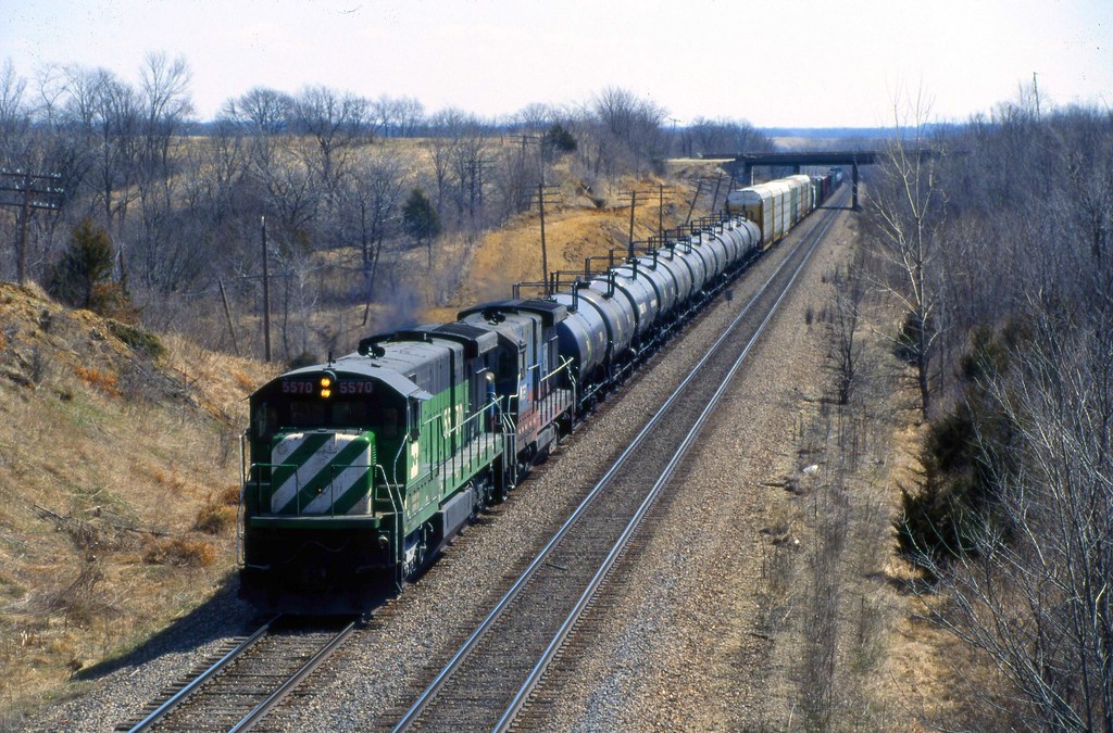
Railroad Tracks

Oakland Mills Near Mt Pleasant, IA

Oakland Mills Near Mt Pleasant, IA

IMG_6257-10 LR
Bland Winter Landscape

IMG_6254-7 LR

IMG_6253-6 LR
Topographic Map of Henry County, IA, USA
Find elevation by address:

Places in Henry County, IA, USA:
Places near Henry County, IA, USA:
Westwood Dr, Mt Pleasant, IA, USA
Westwood
West Franklin Street
Mount Pleasant
S White St, Mt Pleasant, IA, USA
2451 Franklin Ave
rd St, Mt Pleasant, IA, USA
Jefferson
Wayne
Tippecanoe
S Main St, Mt Pleasant, IA, USA
Olds
nd St, Mt Pleasant, IA, USA
Wayland
N Washington St, Wayland, IA, USA
th Blvd, Brighton, IA, USA
th Blvd, Lockridge, IA, USA
Lockridge
Walnut Ave, Brighton, IA, USA
Lockridge
Recent Searches:
- Elevation of Corso Fratelli Cairoli, 35, Macerata MC, Italy
- Elevation of Tallevast Rd, Sarasota, FL, USA
- Elevation of 4th St E, Sonoma, CA, USA
- Elevation of Black Hollow Rd, Pennsdale, PA, USA
- Elevation of Oakland Ave, Williamsport, PA, USA
- Elevation of Pedrógão Grande, Portugal
- Elevation of Klee Dr, Martinsburg, WV, USA
- Elevation of Via Roma, Pieranica CR, Italy
- Elevation of Tavkvetili Mountain, Georgia
- Elevation of Hartfords Bluff Cir, Mt Pleasant, SC, USA