Elevation of S Main St, Mt Pleasant, IA, USA
Location: United States > Iowa > Henry County > Wayne > Olds >
Longitude: -91.5451634
Latitude: 41.1332996
Elevation: 225m / 738feet
Barometric Pressure: 0KPa
Related Photos:
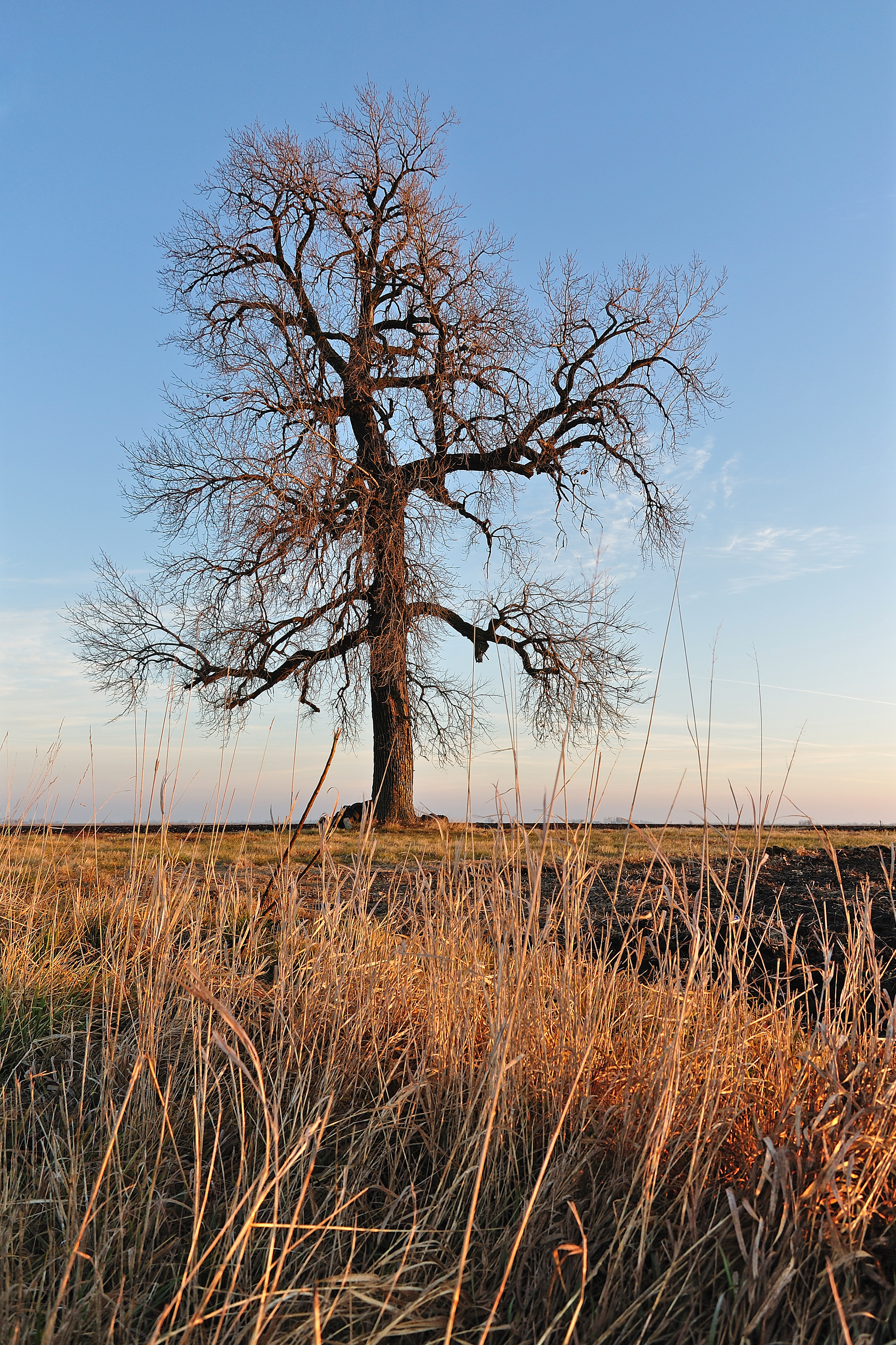
Holding Ground
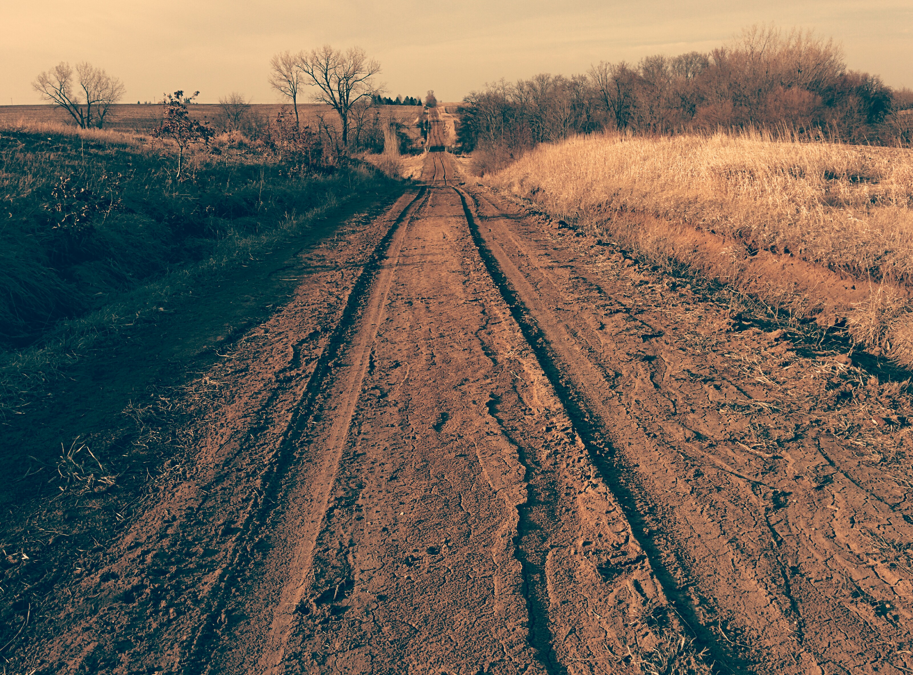
Tire tracks on dirt road

Dirt Road

Dirt Road

Old dirt road

Quilt Barn & Corn, Crawfordsville, Iowa

IowaSunset-PerfectTemp.jpg

Red barns in Swedesburg, Iowa
Driving to Iowa City, IA
Driving to Iowa City, IA
Topographic Map of S Main St, Mt Pleasant, IA, USA
Find elevation by address:

Places near S Main St, Mt Pleasant, IA, USA:
Olds
Wayne
Winfield
W Patterson St, Winfield, IA, USA
Jefferson
N Washington St, Wayland, IA, USA
Wayland
Henry County
Scott
Old White Way
3rd St, Ainsworth, IA, USA
Oregon
West Franklin Street
Mount Pleasant
S White St, Mt Pleasant, IA, USA
Westwood Dr, Mt Pleasant, IA, USA
Westwood
th Blvd, Brighton, IA, USA
Washington
2451 Franklin Ave
Recent Searches:
- Elevation map of Greenland, Greenland
- Elevation of Sullivan Hill, New York, New York, 10002, USA
- Elevation of Morehead Road, Withrow Downs, Charlotte, Mecklenburg County, North Carolina, 28262, USA
- Elevation of 2800, Morehead Road, Withrow Downs, Charlotte, Mecklenburg County, North Carolina, 28262, USA
- Elevation of Yangbi Yi Autonomous County, Yunnan, China
- Elevation of Pingpo, Yangbi Yi Autonomous County, Yunnan, China
- Elevation of Mount Malong, Pingpo, Yangbi Yi Autonomous County, Yunnan, China
- Elevation map of Yongping County, Yunnan, China
- Elevation of North 8th Street, Palatka, Putnam County, Florida, 32177, USA
- Elevation of 107, Big Apple Road, East Palatka, Putnam County, Florida, 32131, USA
- Elevation of Jiezi, Chongzhou City, Sichuan, China
- Elevation of Chongzhou City, Sichuan, China
- Elevation of Huaiyuan, Chongzhou City, Sichuan, China
- Elevation of Qingxia, Chengdu, Sichuan, China
- Elevation of Corso Fratelli Cairoli, 35, Macerata MC, Italy
- Elevation of Tallevast Rd, Sarasota, FL, USA
- Elevation of 4th St E, Sonoma, CA, USA
- Elevation of Black Hollow Rd, Pennsdale, PA, USA
- Elevation of Oakland Ave, Williamsport, PA, USA
- Elevation of Pedrógão Grande, Portugal