Elevation of th Blvd, Brighton, IA, USA
Location: United States > Iowa > Jefferson County > Walnut >
Longitude: -91.725930
Latitude: 41.0922876
Elevation: 200m / 656feet
Barometric Pressure: 99KPa
Elevation Map:
Satellite Map:
Related Photos:
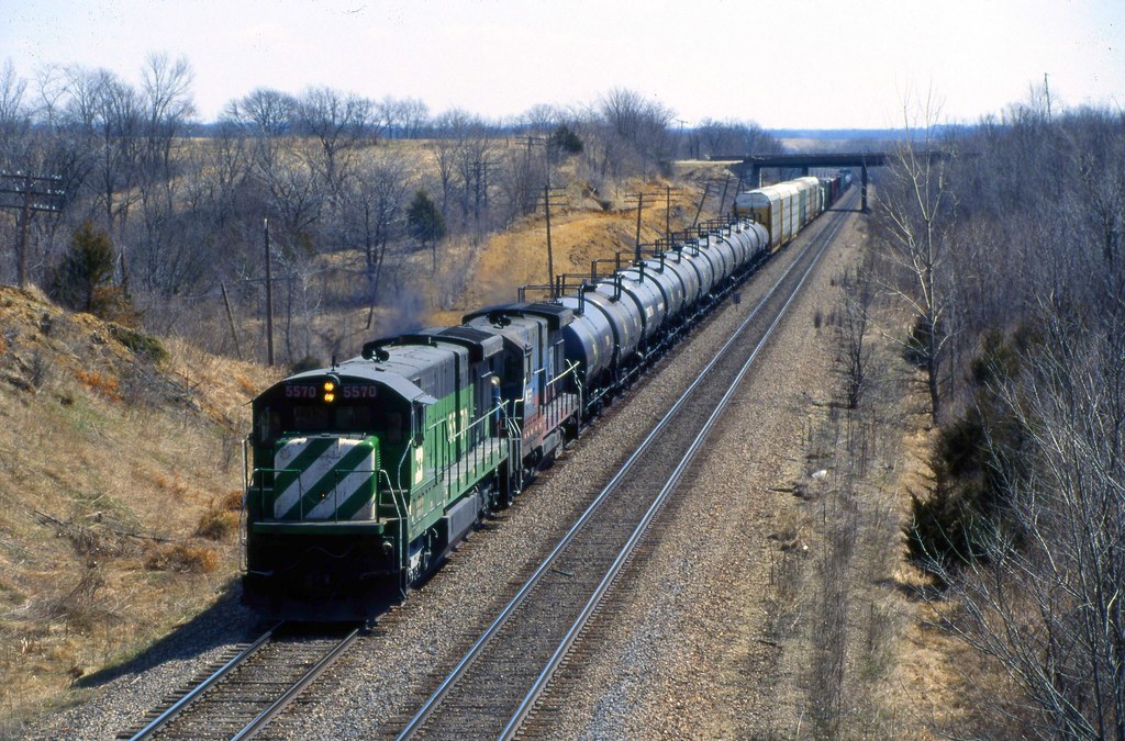
A Look Back
Bland Winter Landscape

Iowa!

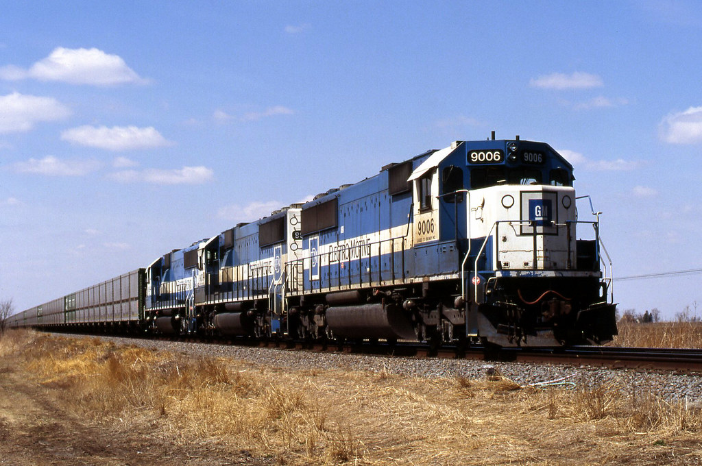
bnsf 6318

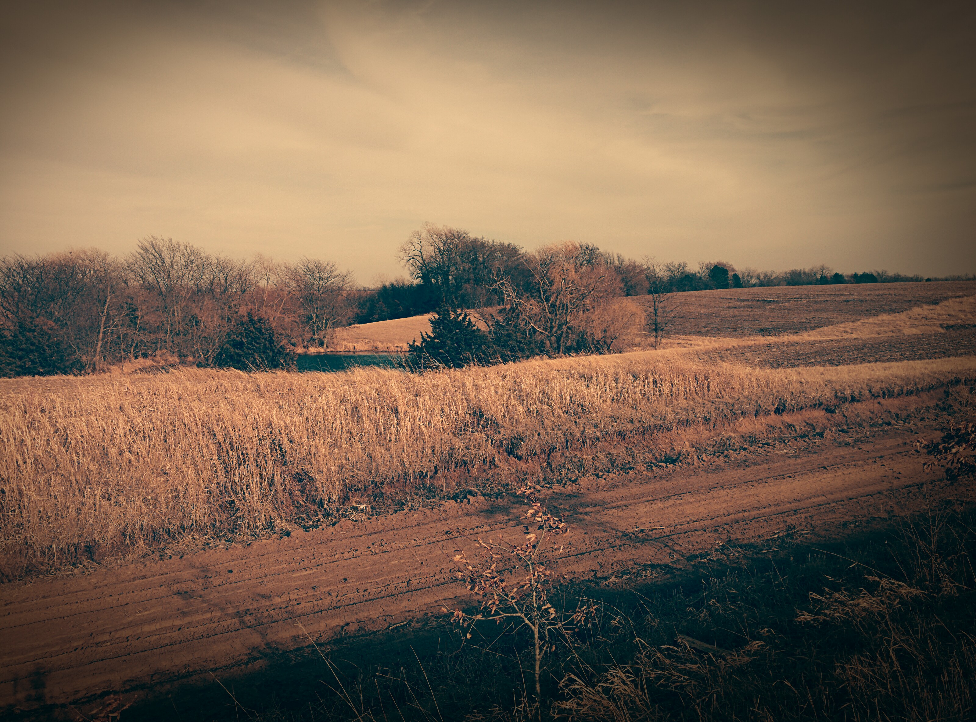
Holding Ground
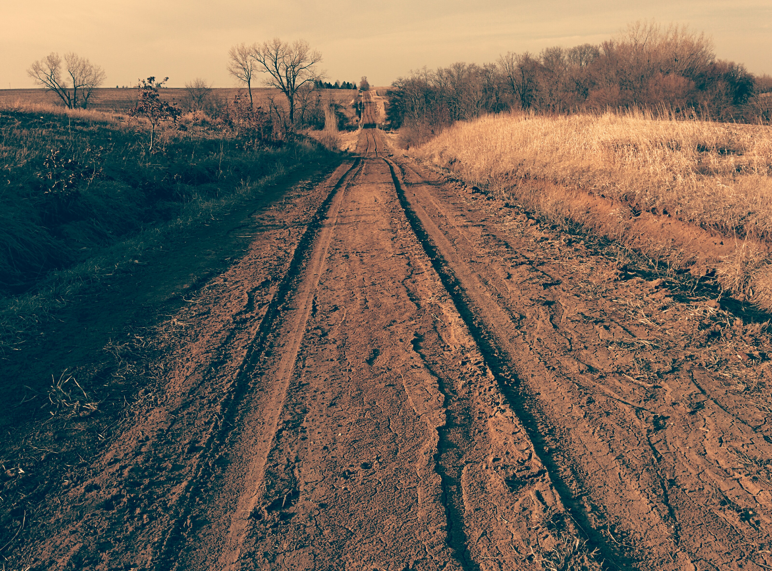
Tire tracks on dirt road

Dirt Road
Dirt Road

Old dirt road
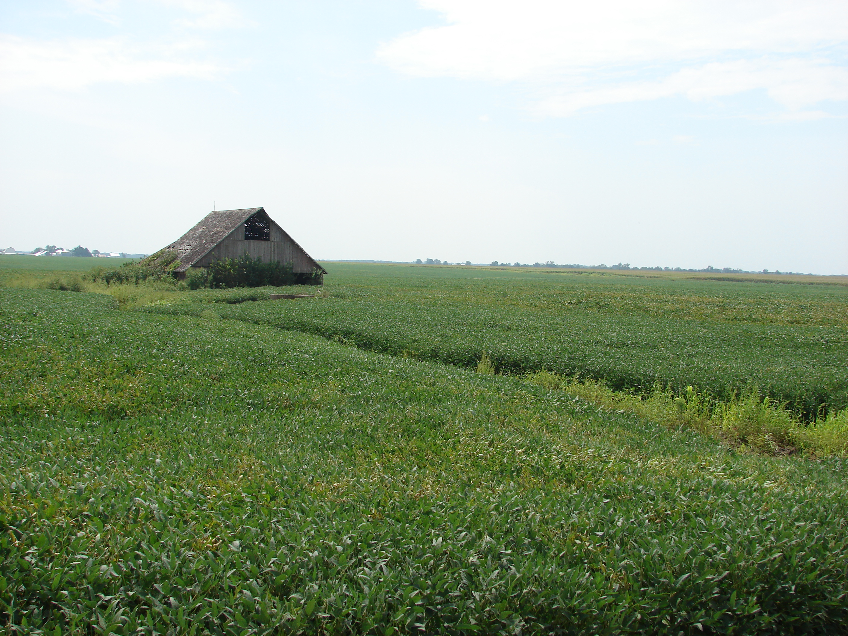
Awash in a sea of beans
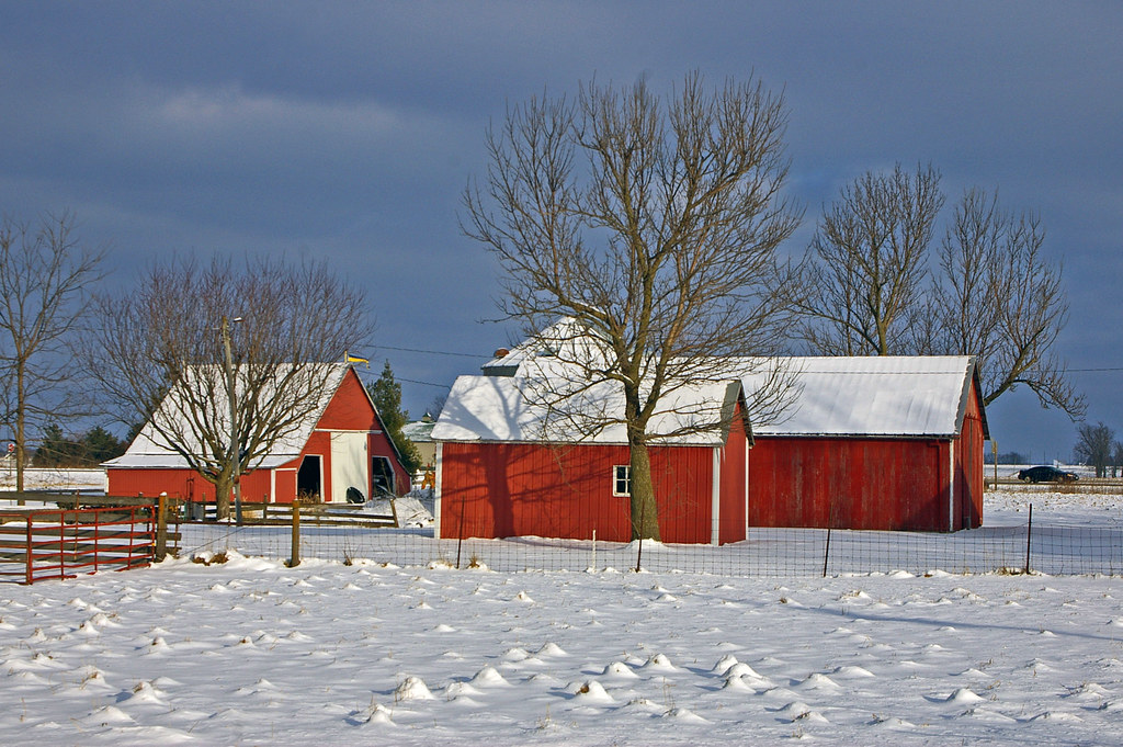
Red barns in Swedesburg, Iowa
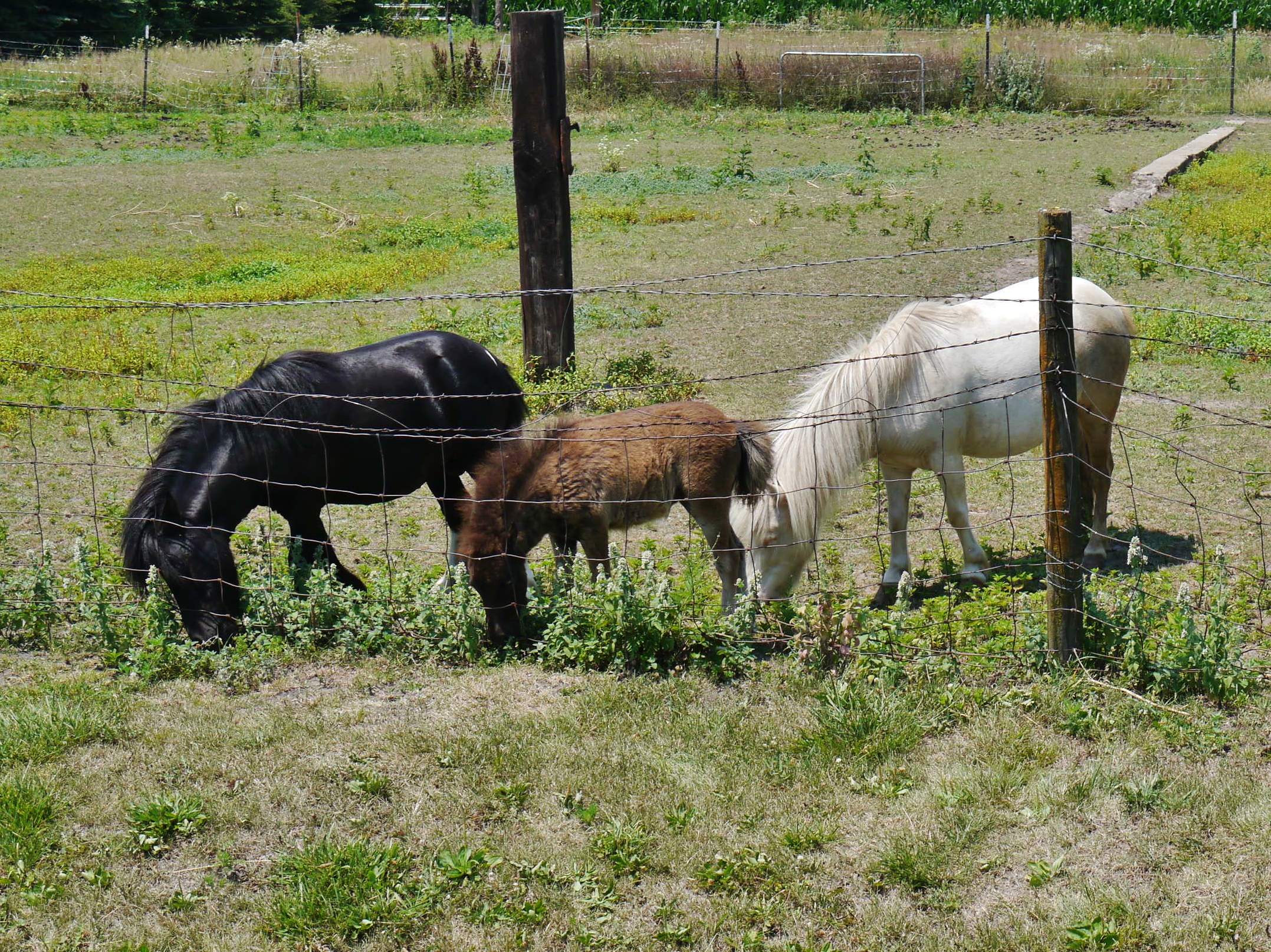
62912-207, Family of Miniature Horses
Topographic Map of th Blvd, Brighton, IA, USA
Find elevation by address:

Places near th Blvd, Brighton, IA, USA:
Walnut Ave, Brighton, IA, USA
Walnut
Lockridge
Jefferson
Wayland
N Washington St, Wayland, IA, USA
Lockridge
th Blvd, Lockridge, IA, USA
2111 290th St
Henry County
Westwood Dr, Mt Pleasant, IA, USA
Westwood
2451 Franklin Ave
Tippecanoe
S Main St, Mt Pleasant, IA, USA
Olds
Wayne
rd St, Mt Pleasant, IA, USA
Jefferson County
nd St, Mt Pleasant, IA, USA
Recent Searches:
- Elevation of Spaceport America, Co Rd A, Truth or Consequences, NM, USA
- Elevation of Warwick, RI, USA
- Elevation of Fern Rd, Whitmore, CA, USA
- Elevation of 62 Abbey St, Marshfield, MA, USA
- Elevation of Fernwood, Bradenton, FL, USA
- Elevation of Felindre, Swansea SA5 7LU, UK
- Elevation of Leyte Industrial Development Estate, Isabel, Leyte, Philippines
- Elevation of W Granada St, Tampa, FL, USA
- Elevation of Pykes Down, Ivybridge PL21 0BY, UK
- Elevation of Jalan Senandin, Lutong, Miri, Sarawak, Malaysia