Elevation of Wayland, IA, USA
Location: United States > Iowa > Henry County > Jefferson >
Longitude: -91.660720
Latitude: 41.1472434
Elevation: 225m / 738feet
Barometric Pressure: 99KPa
Elevation Map:
Satellite Map:
Related Photos:
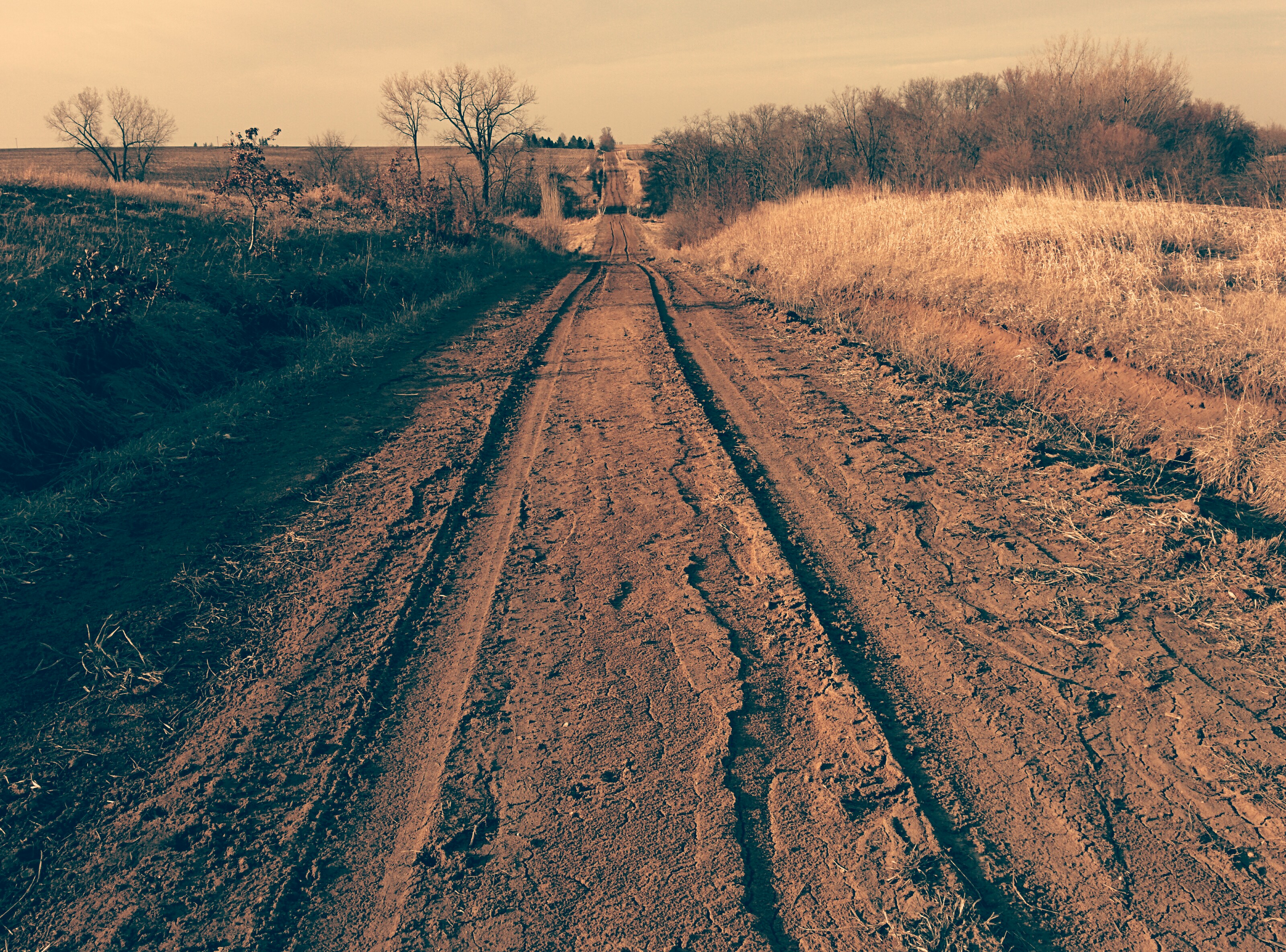
Tire tracks on dirt road

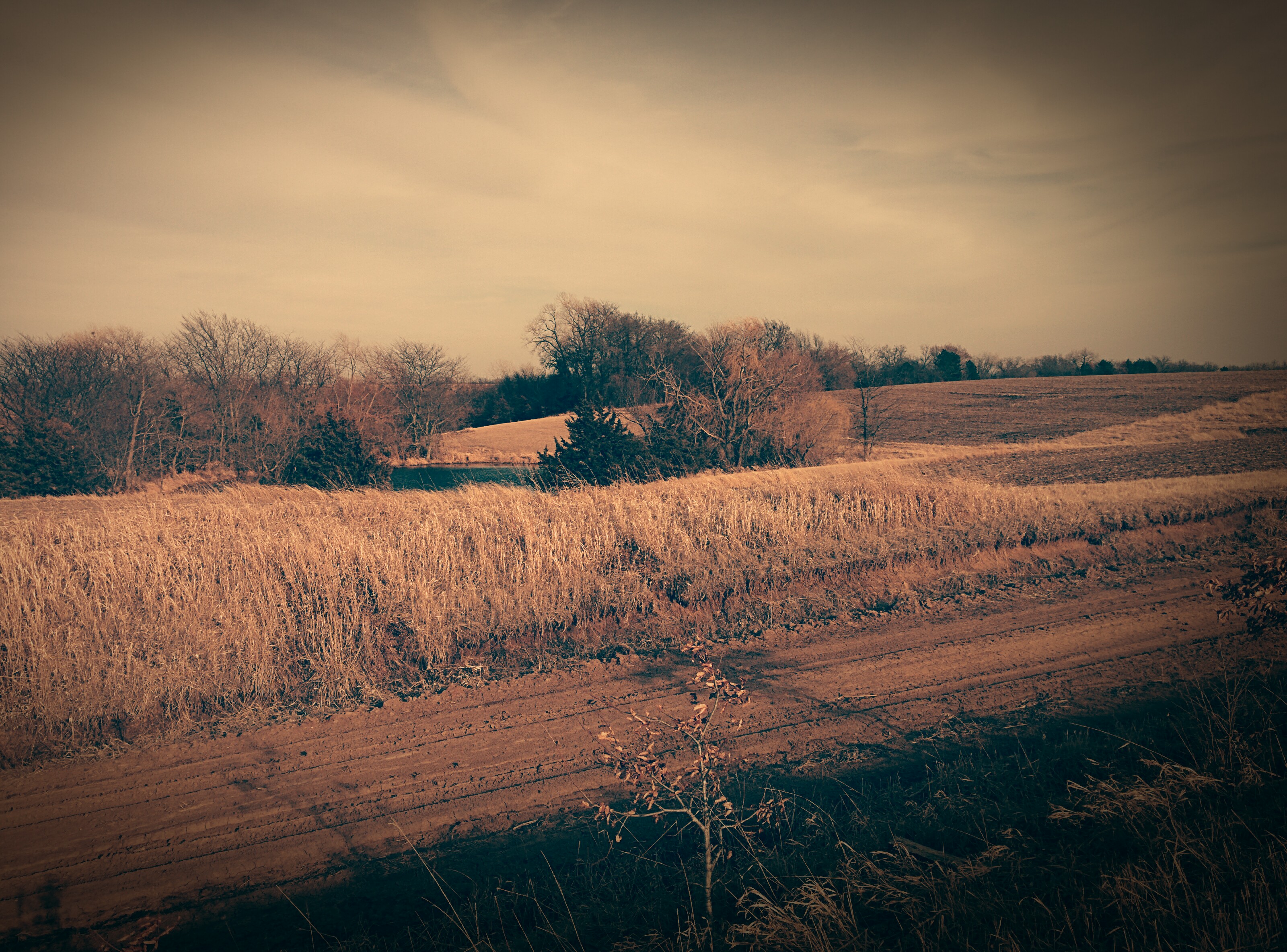
Dirt Road
Dirt Road

Old dirt road

Quilt Barn & Corn, Crawfordsville, Iowa

IowaSunset-PerfectTemp.jpg
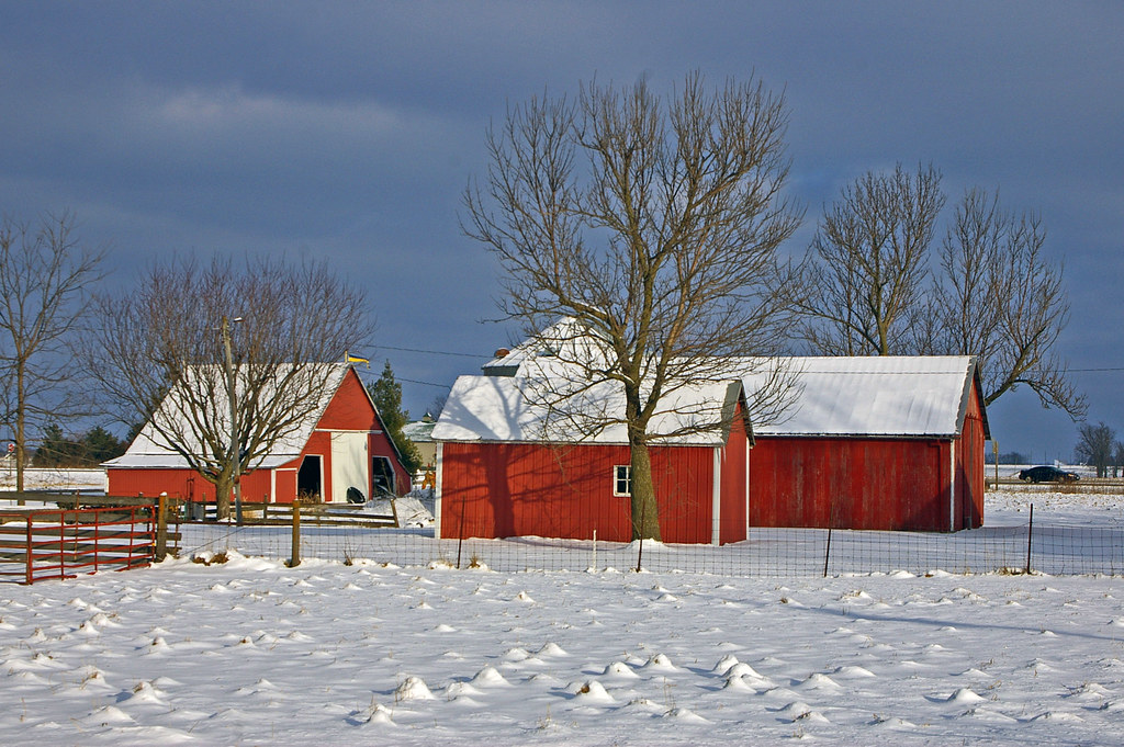
Red barns in Swedesburg, Iowa
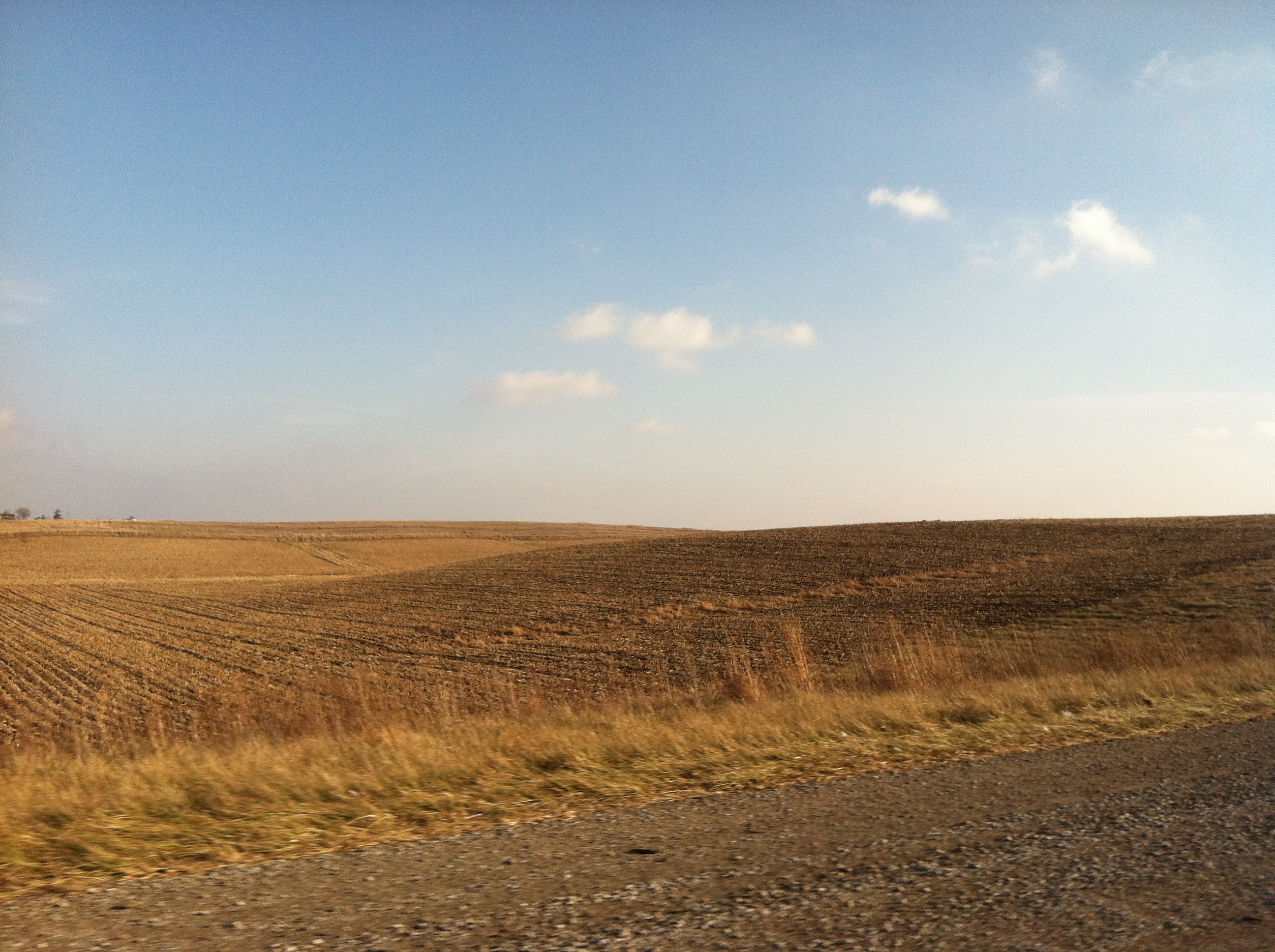
Driving to Iowa City, IA
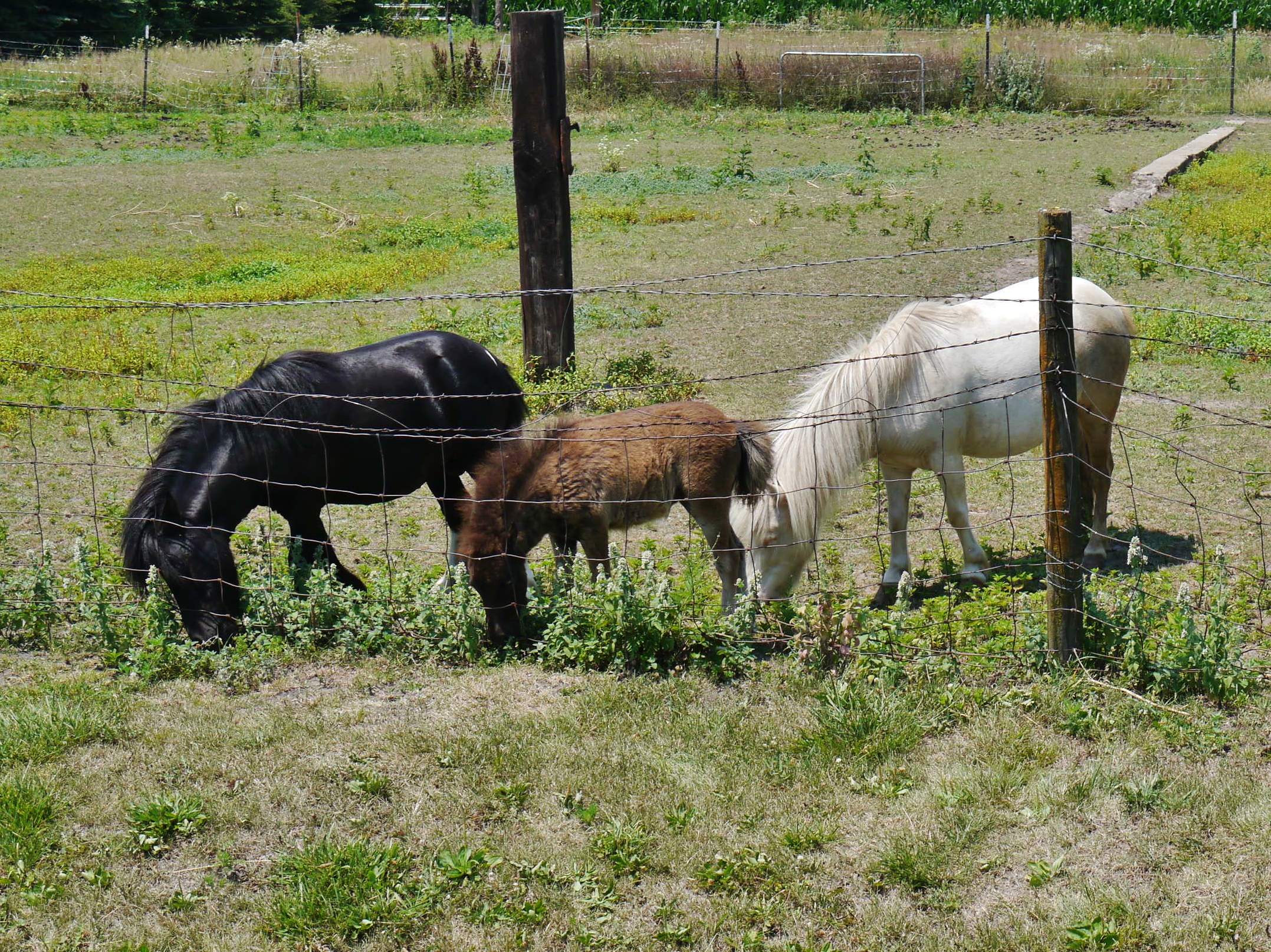
62912-207, Family of Miniature Horses

Holding Ground
Driving to Iowa City, IA
Topographic Map of Wayland, IA, USA
Find elevation by address:

Places in Wayland, IA, USA:
Places near Wayland, IA, USA:
N Washington St, Wayland, IA, USA
Jefferson
th Blvd, Brighton, IA, USA
Walnut Ave, Brighton, IA, USA
2111 290th St
Walnut
S Main St, Mt Pleasant, IA, USA
Olds
Wayne
Henry County
Washington
Lockridge
S Marion Ave, Washington, IA, USA
601 E 3rd St
601 E 3rd St
601 E 3rd St
601 E 3rd St
Washington
Old White Way
Lockridge
Recent Searches:
- Elevation of Congressional Dr, Stevensville, MD, USA
- Elevation of Bellview Rd, McLean, VA, USA
- Elevation of Stage Island Rd, Chatham, MA, USA
- Elevation of Shibuya Scramble Crossing, 21 Udagawacho, Shibuya City, Tokyo -, Japan
- Elevation of Jadagoniai, Kaunas District Municipality, Lithuania
- Elevation of Pagonija rock, Kranto 7-oji g. 8"N, Kaunas, Lithuania
- Elevation of Co Rd 87, Jamestown, CO, USA
- Elevation of Tenjo, Cundinamarca, Colombia
- Elevation of Côte-des-Neiges, Montreal, QC H4A 3J6, Canada
- Elevation of Bobcat Dr, Helena, MT, USA