Elevation of rd St, Mt Pleasant, IA, USA
Location: United States > Iowa > Henry County > Tippecanoe >
Longitude: -91.615312
Latitude: 40.935967
Elevation: 176m / 577feet
Barometric Pressure: 99KPa
Elevation Map:
Satellite Map:
Related Photos:
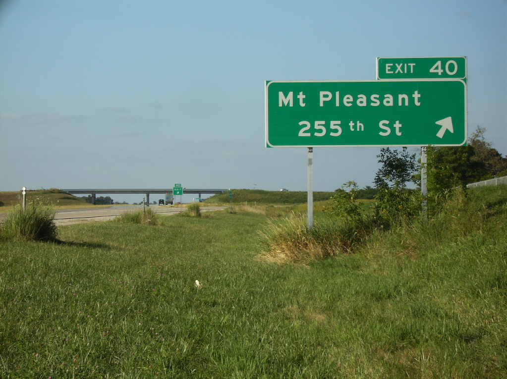
Avenue of the Saints northbound at 255th Street
A Look Back

Room with a View

Winter Craters

Tire tracks on dirt road

Low Level Peace

Dirt Road

Dirt Road

Waking River

Old dirt road
Bland Winter Landscape

Buncha Yellow

6/365

"Come on Spring!"
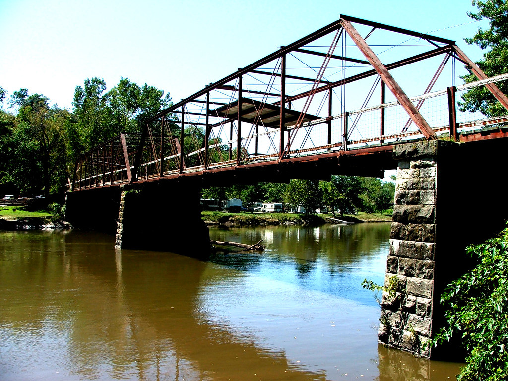
Skunky Bridge

Iowa!

On the Vine
Topographic Map of rd St, Mt Pleasant, IA, USA
Find elevation by address:

Places near rd St, Mt Pleasant, IA, USA:
2451 Franklin Ave
Westwood
Westwood Dr, Mt Pleasant, IA, USA
nd St, Mt Pleasant, IA, USA
Tippecanoe
S White St, Mt Pleasant, IA, USA
West Franklin Street
Mount Pleasant
Salem
E Jackson St, Salem, IA, USA
Henry County
Salem
3208 Us-218
th Blvd, Lockridge, IA, USA
Lockridge
Houghton
Denning Ave, Donnellson, IA, USA
th Blvd, Brighton, IA, USA
Lockridge
Jefferson
Recent Searches:
- Elevation of Congressional Dr, Stevensville, MD, USA
- Elevation of Bellview Rd, McLean, VA, USA
- Elevation of Stage Island Rd, Chatham, MA, USA
- Elevation of Shibuya Scramble Crossing, 21 Udagawacho, Shibuya City, Tokyo -, Japan
- Elevation of Jadagoniai, Kaunas District Municipality, Lithuania
- Elevation of Pagonija rock, Kranto 7-oji g. 8"N, Kaunas, Lithuania
- Elevation of Co Rd 87, Jamestown, CO, USA
- Elevation of Tenjo, Cundinamarca, Colombia
- Elevation of Côte-des-Neiges, Montreal, QC H4A 3J6, Canada
- Elevation of Bobcat Dr, Helena, MT, USA