Elevation of S White St, Mt Pleasant, IA, USA
Location: United States > Iowa > Henry County > Mount Pleasant >
Longitude: -91.557753
Latitude: 40.9635121
Elevation: 222m / 728feet
Barometric Pressure: 99KPa
Elevation Map:
Satellite Map:
Related Photos:
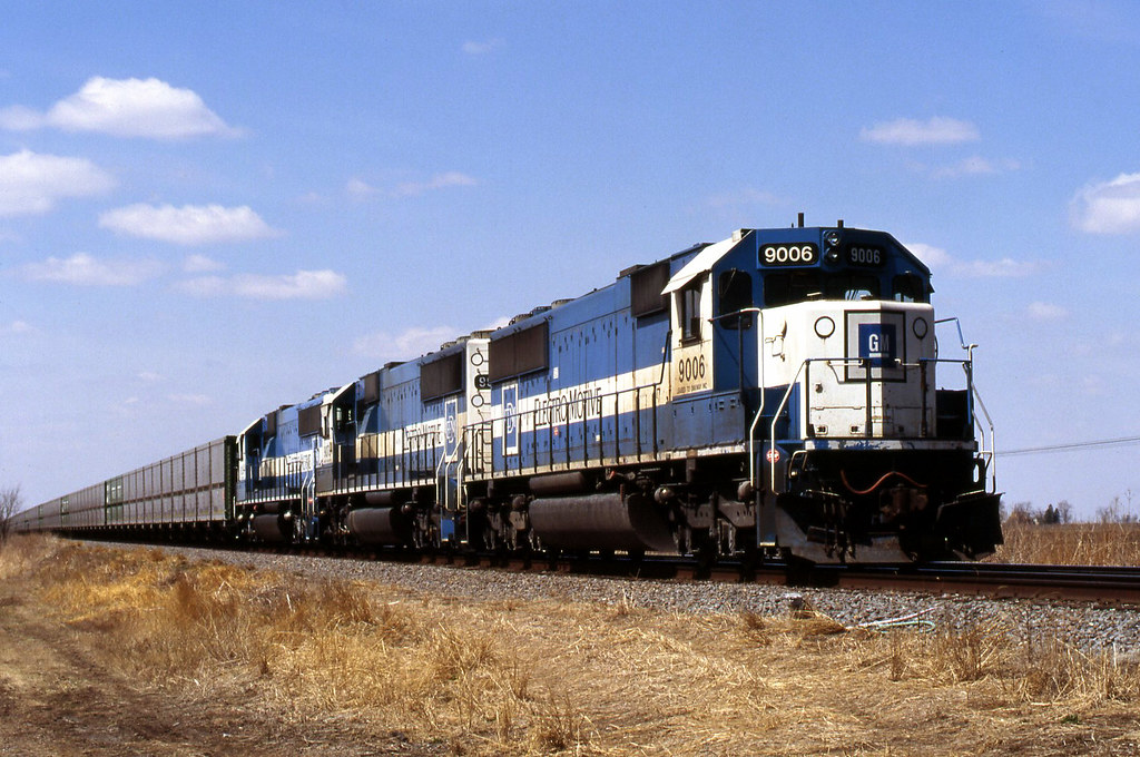
A Look Back
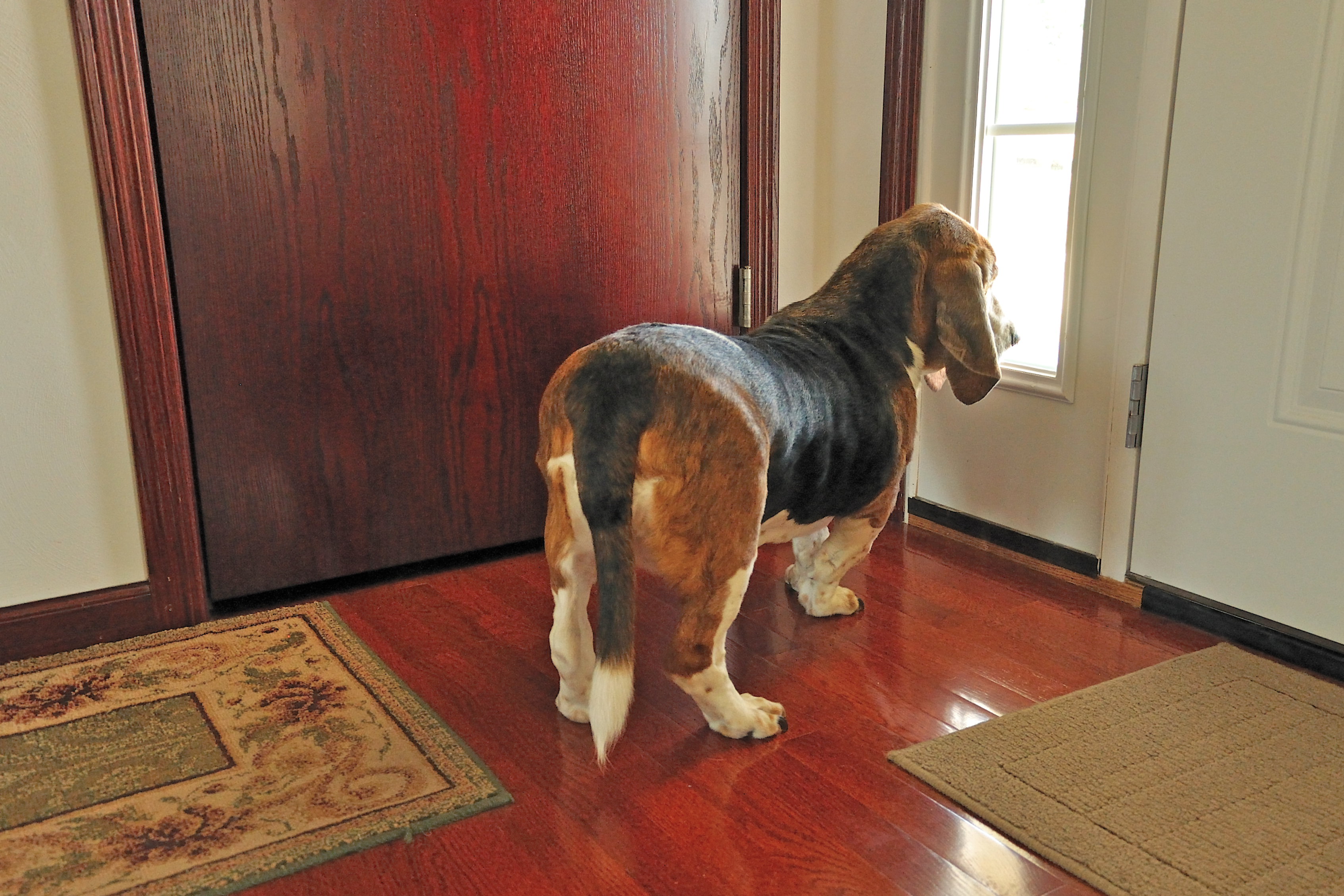
Room with a View
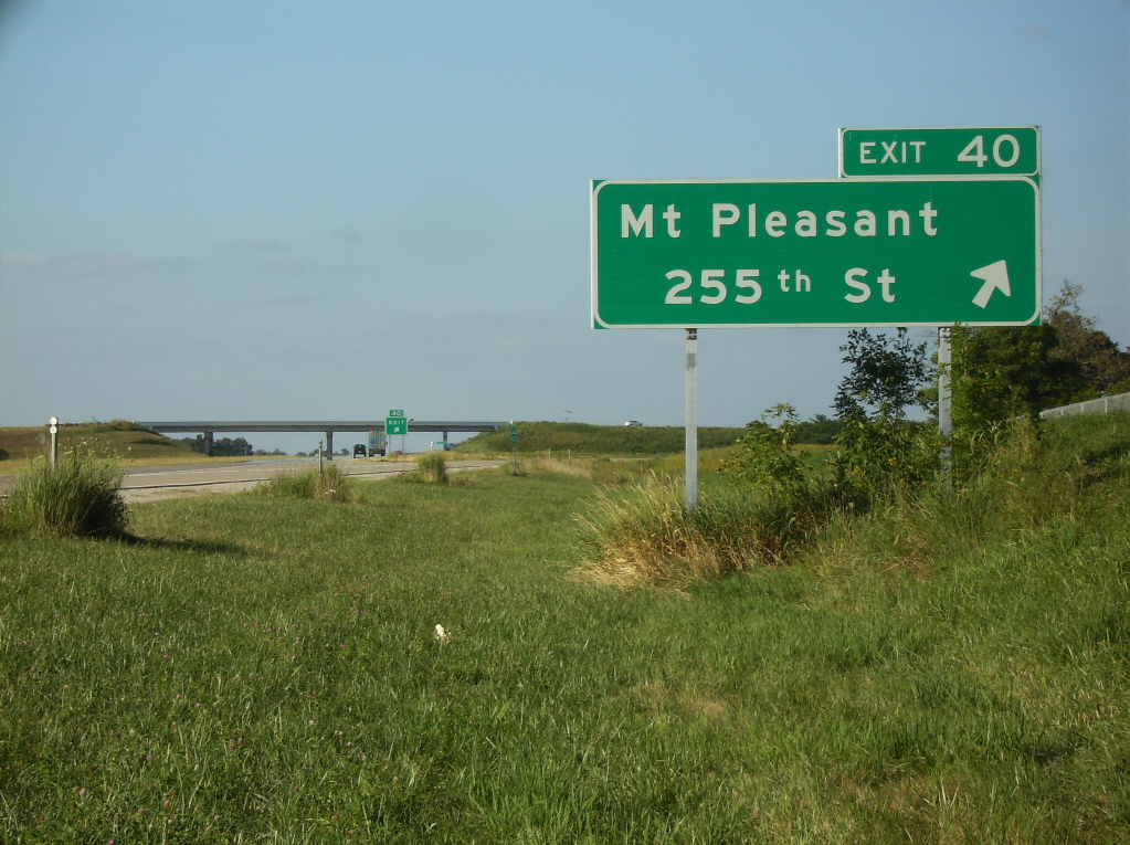
Avenue of the Saints northbound at 255th Street
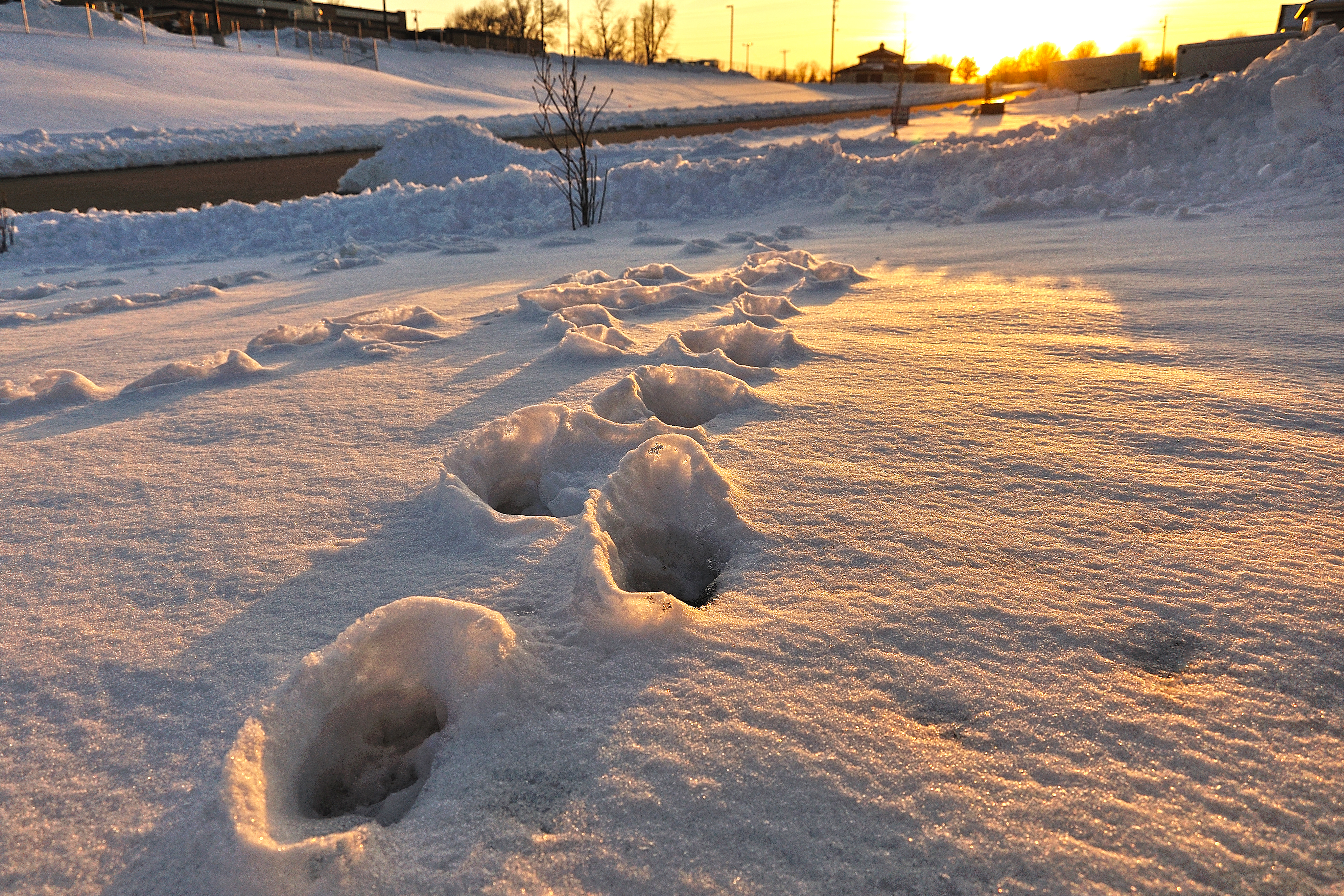
Winter Craters
Tire tracks on dirt road

Low Level Peace

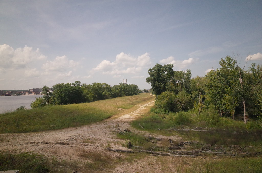
Dirt Road
Dirt Road
Waking River

Old dirt road
Bland Winter Landscape

Buncha Yellow

"Come on Spring!"
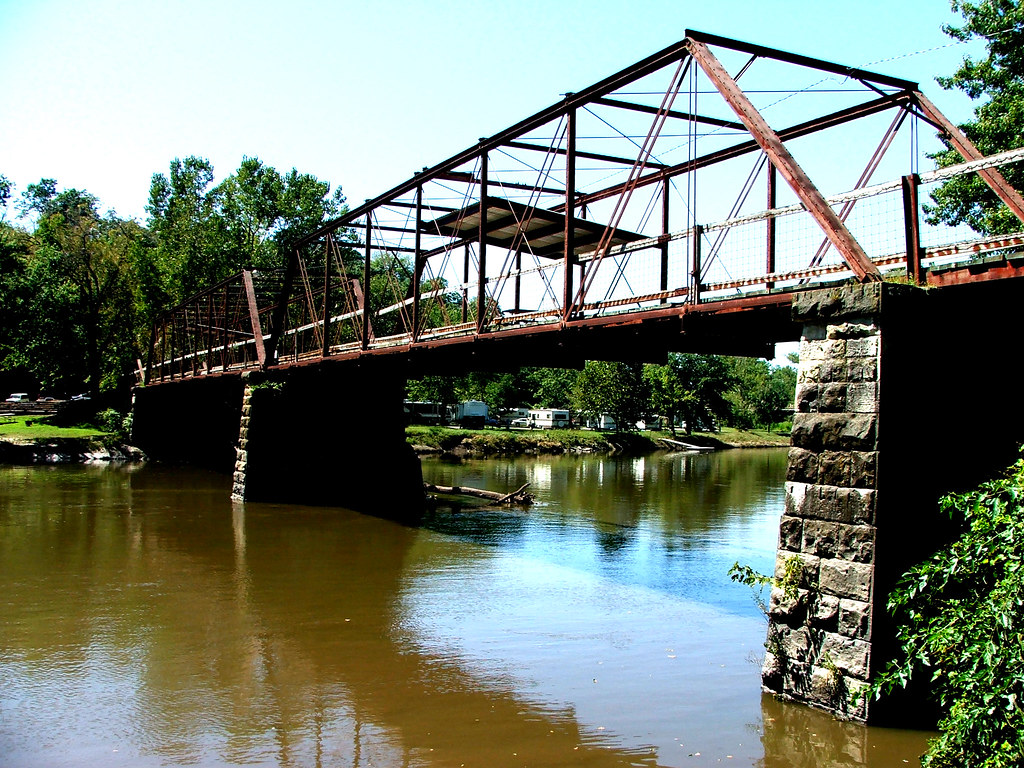
Skunky Bridge
RI038178.JPG
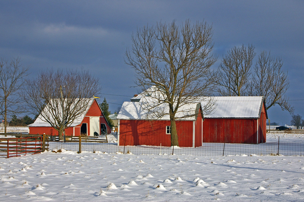
Red barns in Swedesburg, Iowa
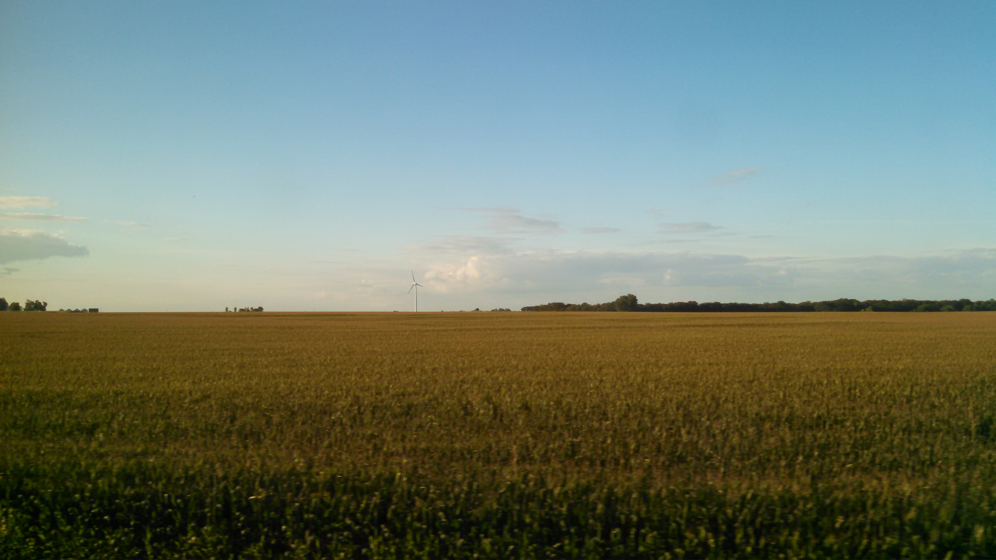
Turbines Over Iowa

On the Vine

Holding Ground
6/365
Topographic Map of S White St, Mt Pleasant, IA, USA
Find elevation by address:

Places near S White St, Mt Pleasant, IA, USA:
West Franklin Street
Mount Pleasant
2451 Franklin Ave
rd St, Mt Pleasant, IA, USA
Westwood Dr, Mt Pleasant, IA, USA
Westwood
Henry County
nd St, Mt Pleasant, IA, USA
Tippecanoe
3208 Us-218
Salem
E Jackson St, Salem, IA, USA
Salem
Wayne
S Main St, Mt Pleasant, IA, USA
Olds
Houghton
Denning Ave, Donnellson, IA, USA
Jefferson
th Blvd, Lockridge, IA, USA
Recent Searches:
- Elevation of Elwyn Dr, Roanoke Rapids, NC, USA
- Elevation of Congressional Dr, Stevensville, MD, USA
- Elevation of Bellview Rd, McLean, VA, USA
- Elevation of Stage Island Rd, Chatham, MA, USA
- Elevation of Shibuya Scramble Crossing, 21 Udagawacho, Shibuya City, Tokyo -, Japan
- Elevation of Jadagoniai, Kaunas District Municipality, Lithuania
- Elevation of Pagonija rock, Kranto 7-oji g. 8"N, Kaunas, Lithuania
- Elevation of Co Rd 87, Jamestown, CO, USA
- Elevation of Tenjo, Cundinamarca, Colombia
- Elevation of Côte-des-Neiges, Montreal, QC H4A 3J6, Canada