Elevation of Heman Ave, Cole Camp, MO, USA
Location: United States > Missouri > Benton County > Williams Township > Cole Camp >
Longitude: -93.083206
Latitude: 38.3725163
Elevation: 294m / 965feet
Barometric Pressure: 98KPa
Elevation Map:
Satellite Map:
Related Photos:

Lake photos April 2008 181
Cole Camp Thanksgiving

get the red out_20180831_174942

Steven Harvey - bull pride

2017-06-13_10-19-26

Skelly Station
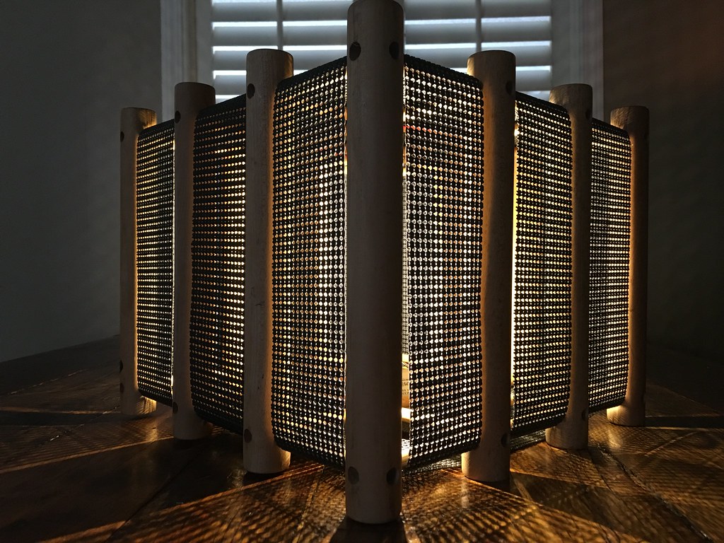
HOUSE of JULIEN light sculpture created at Dad's farm this weekend.
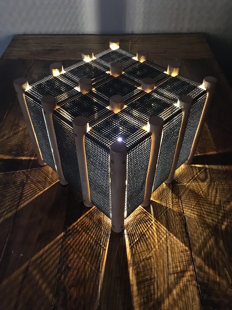
HOUSE of JULIEN light sculpture created at Dad's farm house

Old Skelly Service Station (Stover, Missouri)
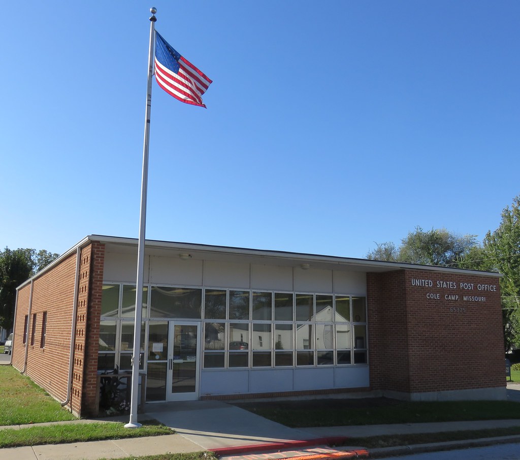
Post Office 65325 (Cole Camp, Missouri)

Old Immanuel Lutheran Church

charley's buffet_20180316_174644

James and Bassel

Steven Harvey - bull pride

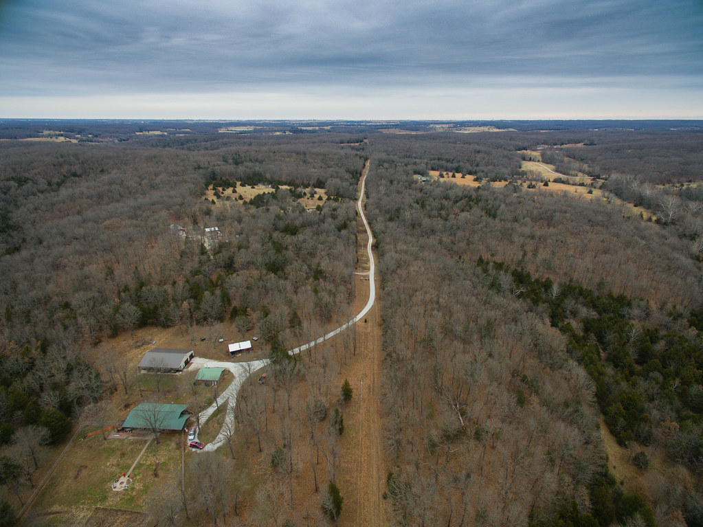
Missouri Country Road
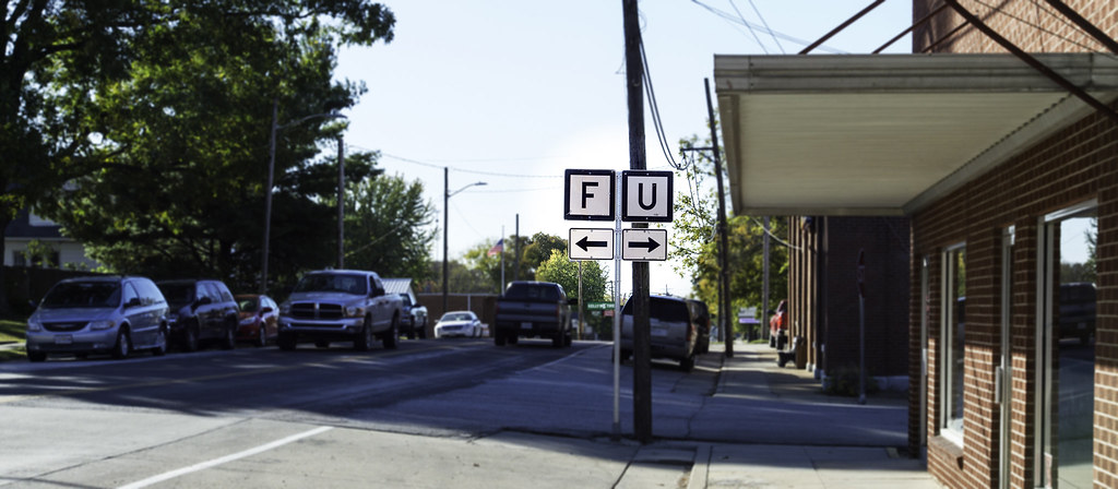
The Worst Junction in Missouri

Dan Fonner

Building the Crest [Mo.] Depot

Fowler residence - overgrown, abandoned farm - see Cole Camp Area for the story of one of the area’s first settlers.

charley's buffet_20170929_184718

charley's buffet parking lot_20170915_185952

052715-510F
Topographic Map of Heman Ave, Cole Camp, MO, USA
Find elevation by address:

Places near Heman Ave, Cole Camp, MO, USA:
Heman
Cole Township
26975 State Hwy T
23435 Deer Ridge Dr
823 Outlook Dr
N Oak St, Stover, MO, USA
Stover
Minnehaha Drive
Fairoaks Drive
908 Long Shore Cir
MO-, Stover, MO, USA
Haw Creek Township
Buffalo Township
Cole Camp
2415 Lick Creek Rd
32059 Webb Loop
28000 Ivy Bend Rd
31154 Passage Ave
Arrowhead Road
1084 Golden Goose Dr
Recent Searches:
- Elevation of Royal Ontario Museum, Queens Park, Toronto, ON M5S 2C6, Canada
- Elevation of Groblershoop, South Africa
- Elevation of Power Generation Enterprises | Industrial Diesel Generators, Oak Ave, Canyon Country, CA, USA
- Elevation of Chesaw Rd, Oroville, WA, USA
- Elevation of N, Mt Pleasant, UT, USA
- Elevation of 6 Rue Jules Ferry, Beausoleil, France
- Elevation of Sattva Horizon, 4JC6+G9P, Vinayak Nagar, Kattigenahalli, Bengaluru, Karnataka, India
- Elevation of Great Brook Sports, Gold Star Hwy, Groton, CT, USA
- Elevation of 10 Mountain Laurels Dr, Nashua, NH, USA
- Elevation of 16 Gilboa Ln, Nashua, NH, USA