Elevation of Cole Camp, MO, USA
Location: United States > Missouri > Benton County > Williams Township >
Longitude: -93.202703
Latitude: 38.4600212
Elevation: 316m / 1037feet
Barometric Pressure: 98KPa
Elevation Map:
Satellite Map:
Related Photos:

Stormy view of the street
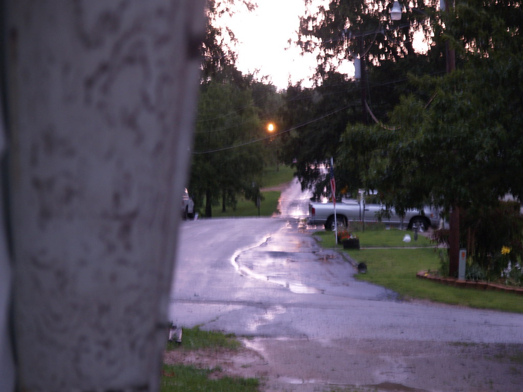
Stormy view of the street

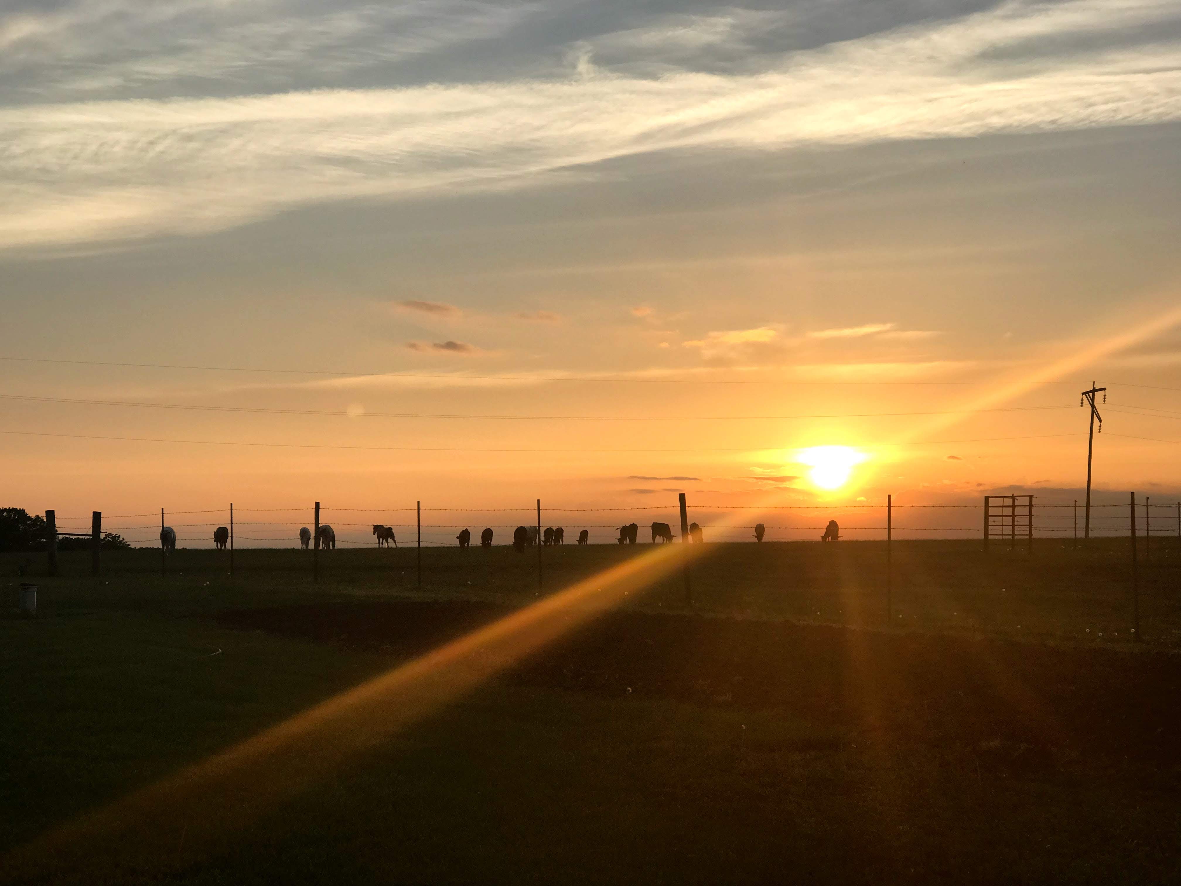
spring fork lake
Cole Camp Thanksgiving

get the red out_20180831_174942

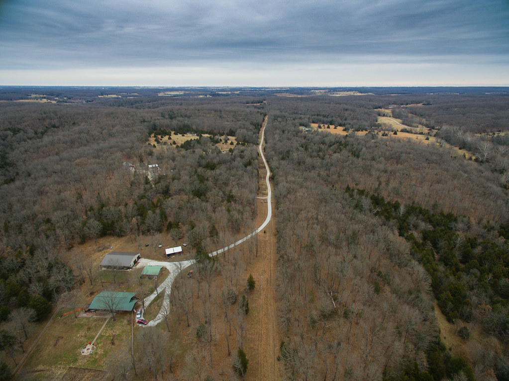
Pond From Above-1

Estes Drive-In Neon
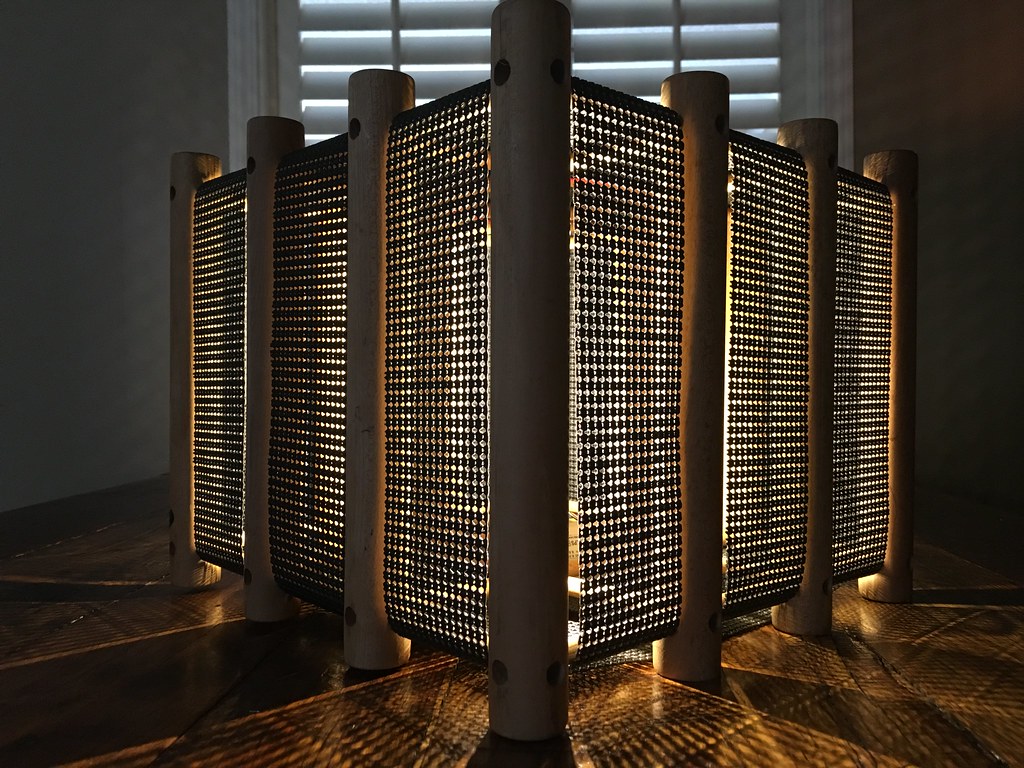
HOUSE of JULIEN light sculpture created at Dad's farm this weekend.
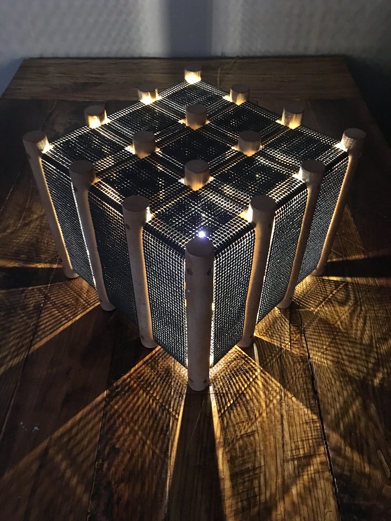
HOUSE of JULIEN light sculpture created at Dad's farm house

Post Office 65335 (Ionia, Missouri)

charley's buffet_20180316_174644

Missouri Country Road
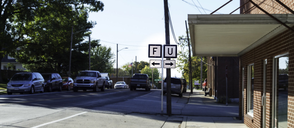
The Worst Junction in Missouri

Building the Crest [Mo.] Depot

Fowler residence - overgrown, abandoned farm - see Cole Camp Area for the story of one of the area’s first settlers.

Jody Teague - Amazing Grace
Jody Teague - Ray of Sunshine

charley's buffet_20170929_184718

charley's buffet parking lot_20170915_185952

052715-510F

Winter 2017

Lorie Wolthuis - Days End

Erin Mabry - Patiently Waiting
Topographic Map of Cole Camp, MO, USA
Find elevation by address:

Places near Cole Camp, MO, USA:
Williams Township
Flat Creek Township
Heman
21182 21213 Heman Ave
Cole Township
22224 Westmoreland Rd
Benton County
Fairoaks Drive
MO-, Stover, MO, USA
Shore Road
28665 Fir Dr
28993 State Hwy U
28993 State Hwy U
28993 Hwy U
Black Rock Avenue
26770 Waterview Dr
26770 Waterview Dr
26744 Waterview Dr
26758 Waterview Dr
N Oak St, Stover, MO, USA
Recent Searches:
- Elevation of Leguwa, Nepal
- Elevation of County Rd, Enterprise, AL, USA
- Elevation of Kolchuginsky District, Vladimir Oblast, Russia
- Elevation of Shustino, Vladimir Oblast, Russia
- Elevation of Lampiasi St, Sarasota, FL, USA
- Elevation of Elwyn Dr, Roanoke Rapids, NC, USA
- Elevation of Congressional Dr, Stevensville, MD, USA
- Elevation of Bellview Rd, McLean, VA, USA
- Elevation of Stage Island Rd, Chatham, MA, USA
- Elevation of Shibuya Scramble Crossing, 21 Udagawacho, Shibuya City, Tokyo -, Japan