Elevation of State Hwy U, Sedalia, MO, USA
Location: United States > Missouri > Pettis County > Sedalia Township > Sedalia >
Longitude: -93.221409
Latitude: 38.6538305
Elevation: 250m / 820feet
Barometric Pressure: 98KPa
Elevation Map:
Satellite Map:
Related Photos:

pinwheels for prevention (102/366)

rural starscape (103/366)

corner perch (94/366)

third floor (chandelier view) (100/366)

cherry tree in bloom (101/366)

ground level

archives (99/366)

HDR swamp

center stage swine

precarious perch x_x (97/366)

leaf collection corridor

file room

Fred M. Lange
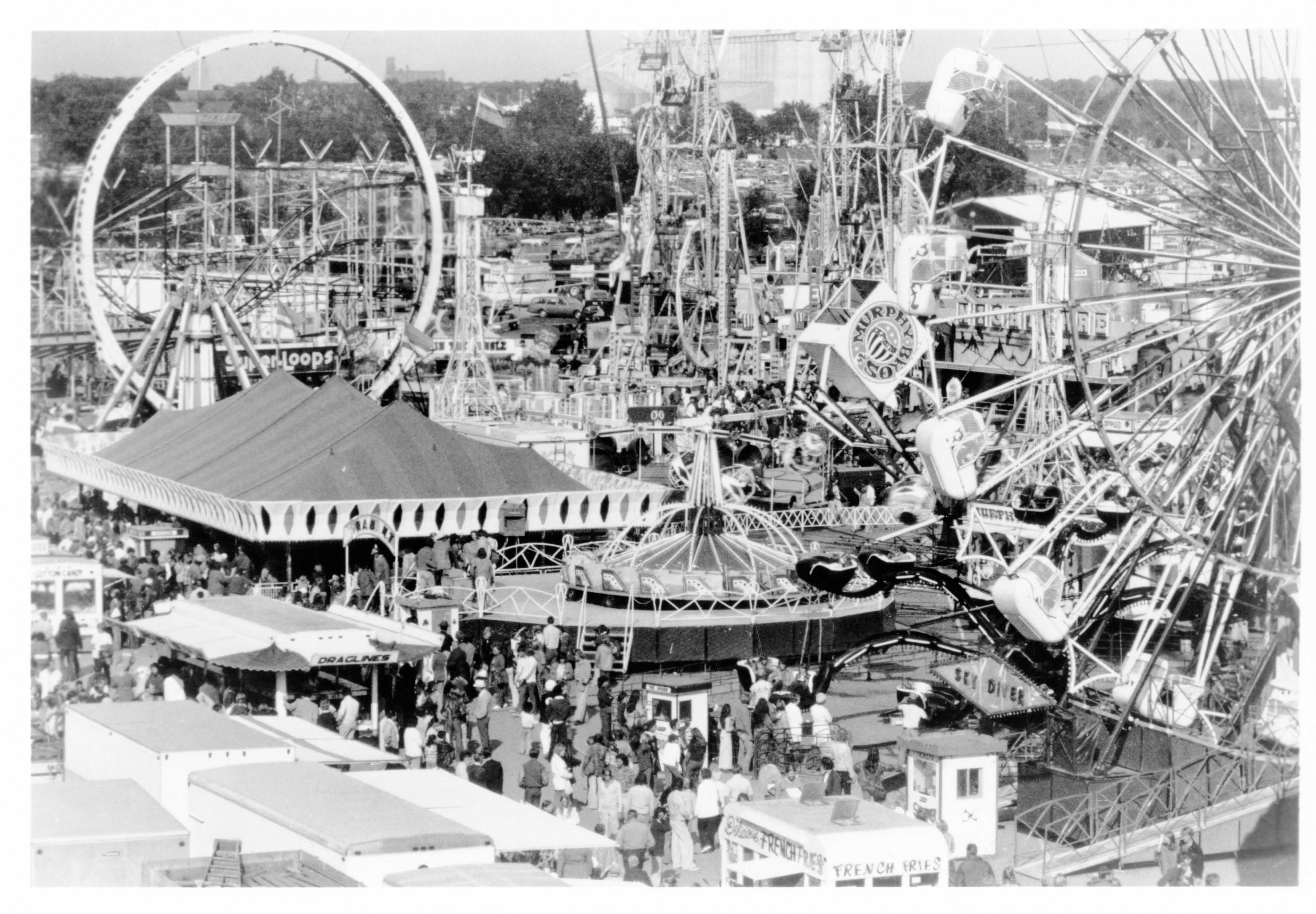
Aerial of Carnival (MSA)

Deuce Fiff

Sedalia, Missouri, ca. 1890 (MSA)
Mamma Farm

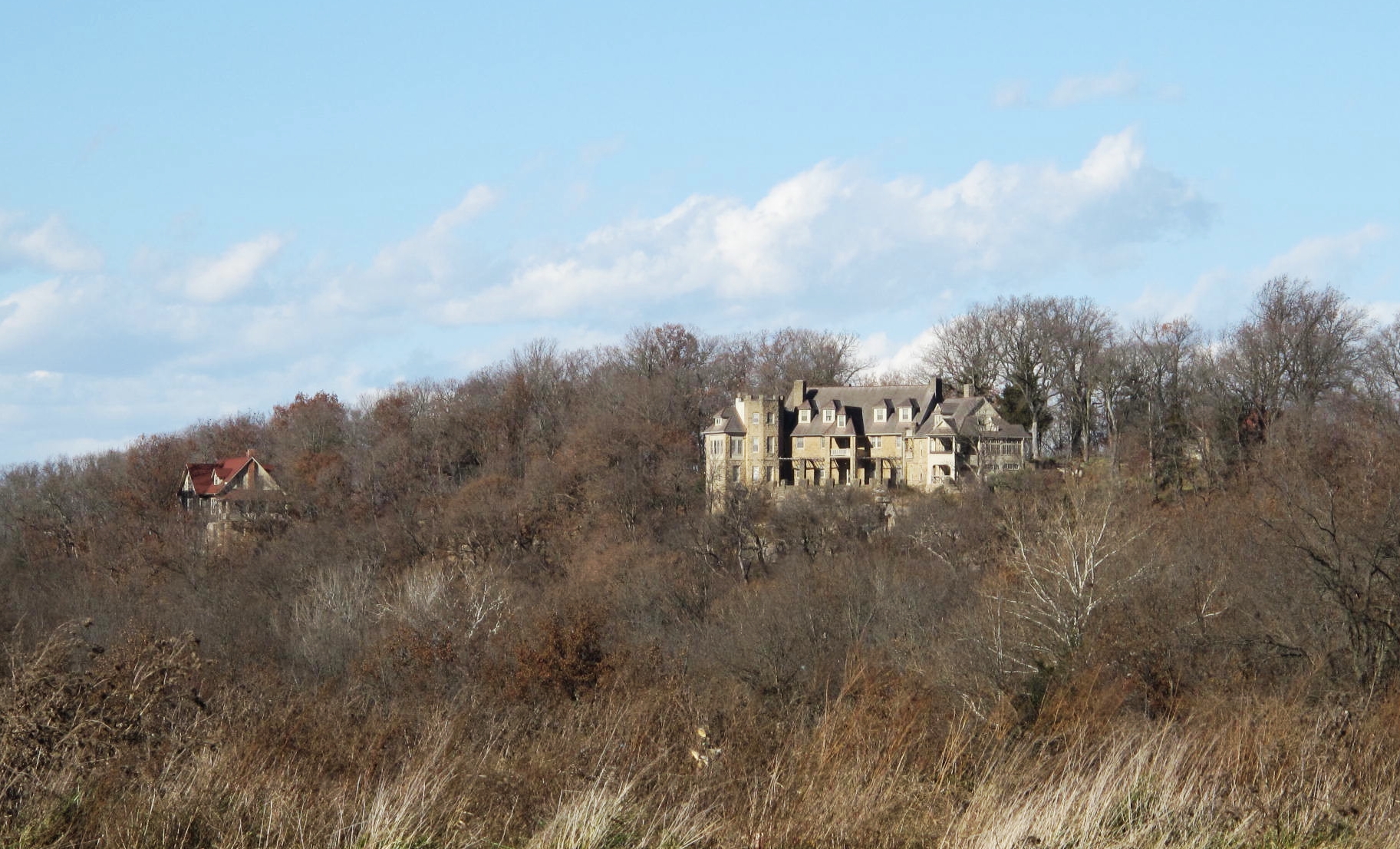
View from Bothwell Lodge

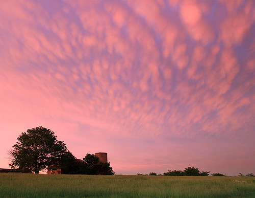
Convective Serenity

water tower_3462

Brick Front Grill

spring fork lake

Green Shade
Bothwell Lodge State Historic Site, Pettis County (Mo.), 17 November 2013

Sedalia, MO

Chuck, Clive & Matthew go fishing!
2016:08:28 17:49:08 Flickr-266

flower bed_7363

IMG_6968_2.jpg
Topographic Map of State Hwy U, Sedalia, MO, USA
Find elevation by address:

Places near State Hwy U, Sedalia, MO, USA:
28993 State Hwy U
28993 Hwy U
2501 S Stewart Ave
1203 S Osage Ave
Sedalia Township
Sedalia
907 Royal Blvd
Flat Creek Township
22224 Westmoreland Rd
Sedalia, Mo
Pettis County
Bowling Green Township
19074 Hwy O
Williams Township
Green Ridge
Green Ridge Katy Trail Trailhead
Cole Camp
MO-, Stover, MO, USA
Green Ridge Township
Heman
Recent Searches:
- Elevation of Elwyn Dr, Roanoke Rapids, NC, USA
- Elevation of Congressional Dr, Stevensville, MD, USA
- Elevation of Bellview Rd, McLean, VA, USA
- Elevation of Stage Island Rd, Chatham, MA, USA
- Elevation of Shibuya Scramble Crossing, 21 Udagawacho, Shibuya City, Tokyo -, Japan
- Elevation of Jadagoniai, Kaunas District Municipality, Lithuania
- Elevation of Pagonija rock, Kranto 7-oji g. 8"N, Kaunas, Lithuania
- Elevation of Co Rd 87, Jamestown, CO, USA
- Elevation of Tenjo, Cundinamarca, Colombia
- Elevation of Côte-des-Neiges, Montreal, QC H4A 3J6, Canada